The best walks and hikes around Landal
4.5
(7)
33
hikers
6
hikes
Hiking around Landal offers a variety of trails through landscapes characterized by historical sites, water features, and the unique salt pans of Rio Maior. The region's terrain generally features gentle undulations, with some routes incorporating moderate ascents. These paths provide opportunities to explore both natural and cultural points of interest.
Best hiking trails around Landal
- The most popular hiking route is Old Water Mill – Abandoned Mill loop from Rio Maior, a 4.8 miles (7.8 km) trail that takes…
Last updated: June 24, 2026
4.0
(3)
7
hikers
7.81km
02:11
150m
150m
Moderate hike. Good fitness required. Easily-accessible paths. Suitable for all skill levels.
4.0
(2)
11
hikers
6.79km
01:45
30m
30m
Easy hike. Great for any fitness level. Easily-accessible paths. Suitable for all skill levels.

Sign up for free
5.0
(1)
6
hikers
Moderate hike. Good fitness required. Easily-accessible paths. Suitable for all skill levels.
3
hikers
5.04km
01:20
50m
50m
Easy hike. Great for any fitness level. Easily-accessible paths. Suitable for all skill levels.
3
hikers
12.6km
03:25
170m
170m
Moderate hike. Good fitness required. Easily-accessible paths. Suitable for all skill levels.
Our route recommendations are based on thousands of hikes, rides, and runs completed by other people on komoot.
Start today with a free account
Your next adventure awaits.
Login or Signup
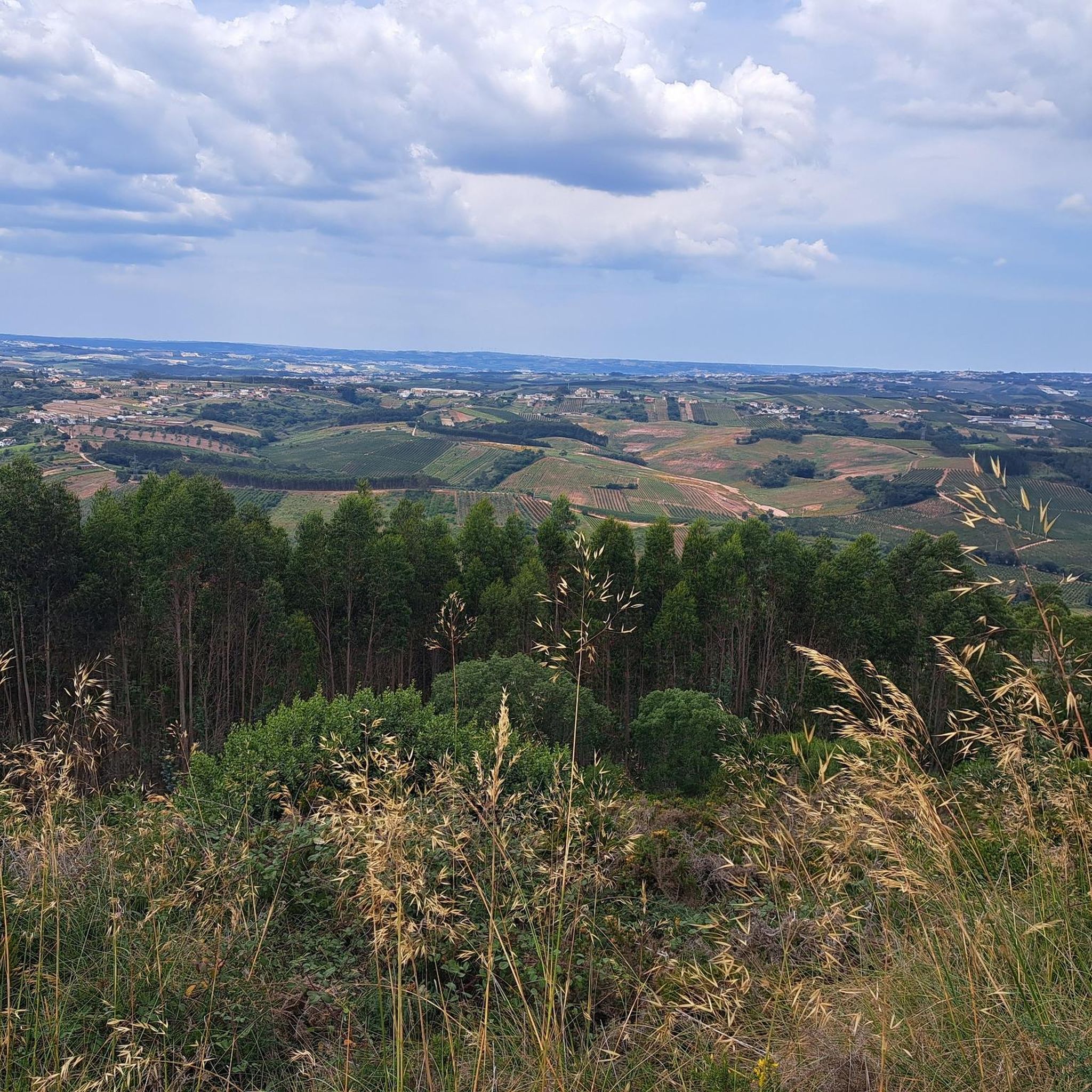
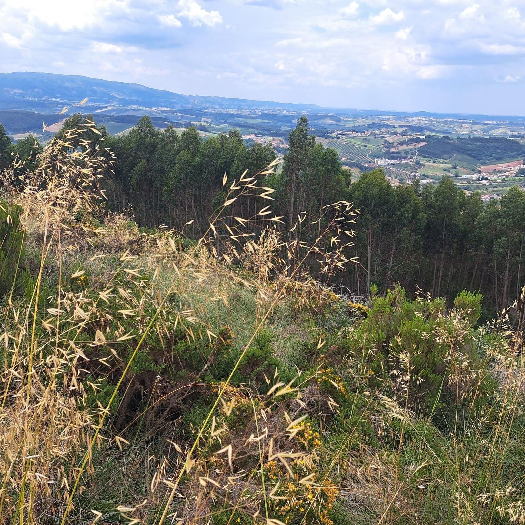
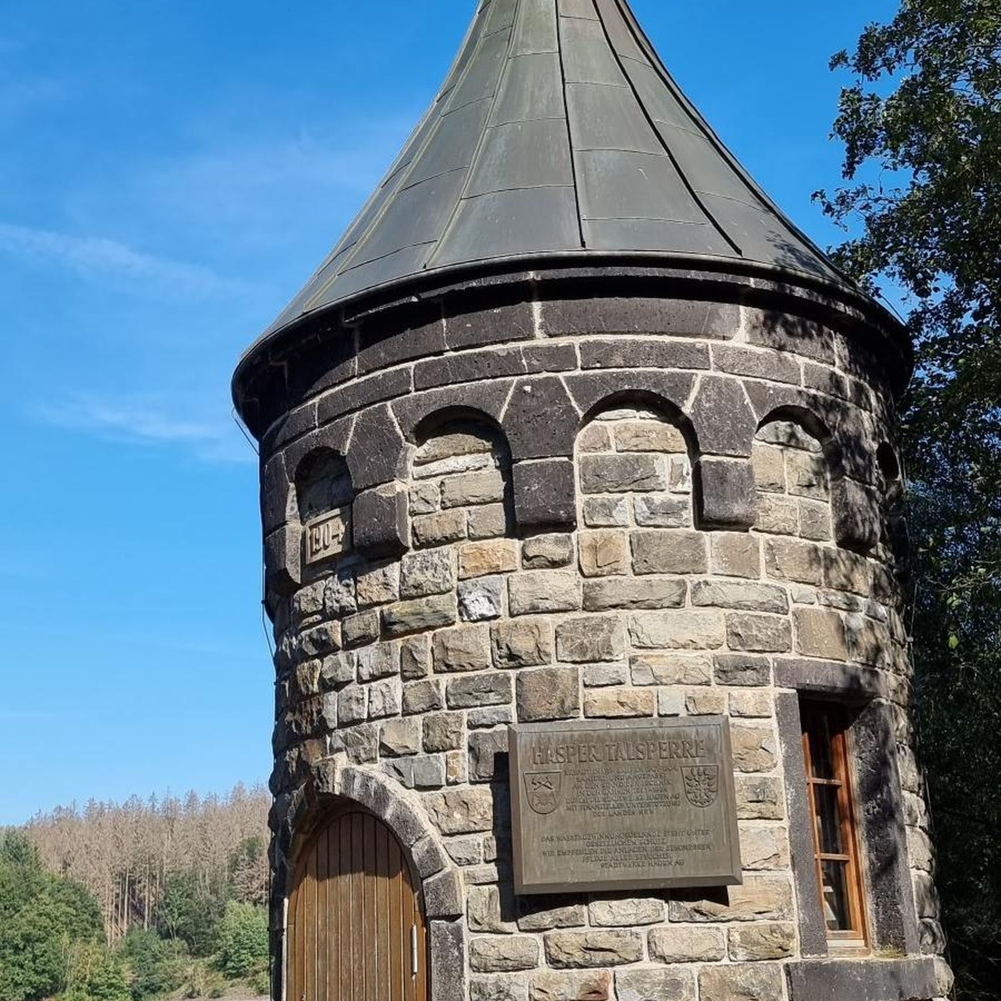
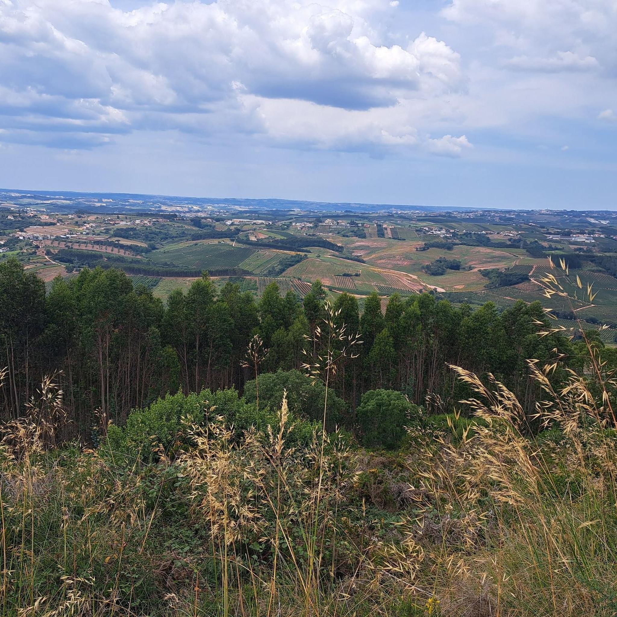
Tips from the Community

Salt is extracted from shallow, concrete or stone pans of varying sizes, where saltwater drawn from a well is conveyed through ditches. Currently, the water is pumped by a motor and distributed according to a system that is generally accepted and respected (not always) by all the owners. Drainpipes, threshing floors, and wooden salt storage houses complete the complex known as the Rio Maior Salt Pans. According to technicians, a large and deep rock salt mine, traversed by an underground stream that feeds a well, makes the extracted water salty, seven times saltier than seawater. The salt is obtained from its exposure to the sun and wind, and the resulting evaporation of the water. This salt is deposited at the bottom of the pans, which are then piled up in pyramid-shaped heaps to dry until harvest. The process is rudimentary and similar to that used in seaside salt mines. The only difference is the picturesque valley that surrounds them, the well, the unique style of the sailors (as the men who work in the salt mines are known), the wooden houses and the country air that you breathe.
0
0

Just three kilometres from Rio Maior, on the southern tip of the Serra dos Candeeiros, lie the only inland salt pans in Portugal, and the only ones still active in the whole of Europe. Surrounded by vineyards and cultivated fields, they are a true wonder of nature, as the sea is 30 kilometres away. Their history dates back to at least 1177, but it is said that rock salt has been mined since prehistoric times. The water, seven times saltier than that of the ocean, emerges from a well after passing through an underground deposit, leaving behind the pure vestige of an ancient sea.
1
0
The Rio Maior Salt Pans are located about 3 km from the city centre and are nestled in a valley at the foot of the Serra dos Candeeiros, in the heart of the Serras de Aire e Candeeiros Natural Park. Classified as a Property of Public Interest since December 1997, these are the only inland salt pans in Portugal, and the only ones in full operation in Europe. The first reference to their existence dates back to 1177, but it is thought that the use of rock salt was already being made in prehistoric times.
2
0

The Rio Maior Salt Pans are located about 3 km from the city center and nestled in a valley at the foot of the Serra dos Candeeiros, in the heart of the Serras de Aire e Candeeiros Natural Park. Classified as a Property of Public Interest since December 1997, these are the only inland salt pans in Portugal, and the only ones fully operational in Europe. The first reference to their existence dates back to 1177, but it is thought that rock salt mining has been practiced since prehistoric times. Surrounded by vineyards and farmland, they are considered a natural wonder, as the ocean is 30 km away. The salt is a vestige of the sea's presence in ancient times. The water, about seven times saltier than seawater, comes from a well after passing through a rock salt deposit. Visit the Salinas Tourist Office for information, maps, and guided tours. How to Get There: Latitude +39° 21' 52.57, Longitude -8° 56' 40.62
0
0

Frequently Asked Questions
What types of hiking trails can I expect around Landal?
Hiking around Landal offers a mix of trails through landscapes featuring historical sites, water features, and the unique salt pans of Rio Maior. The terrain generally includes gentle undulations, with some routes having moderate ascents. You'll find paths suitable for various ability levels, from easy family walks to more moderate routes.
Are there easy hiking options suitable for beginners or families in Landal?
Yes, Landal has several easy hiking options. For example, the Cineteatro de Rio Maior – Salinas de Rio Maior loop from Rio Maior is an easy 4.6-mile (7.4 km) path offering views of the unique salt pans. Another easy choice is the Parque do Rio – Roman Villa loop from Rio Maior, which is about 3.1 miles (5 km) long.
What is the typical length and duration of hikes in the Landal area?
Hikes in Landal vary in length and duration. You can find shorter routes like the Parque do Rio – Roman Villa loop from Rio Maior, which is about 3.1 miles (5 km) and takes under 1.5 hours. Longer options include the Salinas Rio Major – Salinas de Rio Maior loop from Rio Maior, a 7.8-mile (12.5 km) trail that typically takes around 3 hours 24 minutes.
Are there any circular walking routes in Landal?
Many of the trails around Landal are designed as circular routes, allowing you to start and end in the same location. Examples include the Old Water Mill – Abandoned Mill loop from Rio Maior and the Cineteatro de Rio Maior – Salinas de Rio Maior loop from Rio Maior, both offering convenient loop experiences.
What interesting landmarks or natural attractions can I see while hiking around Landal?
The region is rich in points of interest. You can explore the unique Rio Maior Salt Pans, which are featured on several routes. Other notable attractions include the Bocas Gorge, the Arnóia River, and the Top of the eastern side of Montejunto mountain for panoramic views. Historical sites like old mill structures are also common along trails.
What do other hikers enjoy most about the trails in Landal?
The trails in Landal are highly rated by the komoot community, with an average score of 4.75 stars. Hikers often praise the unique landscapes, especially the distinctive salt pans, and the opportunity to explore both natural beauty and historical sites like old water mills. The variety of easy and moderate routes also makes it appealing to a wide range of visitors.
Are there any challenging day hikes for experienced hikers in Landal?
While Landal's terrain is generally characterized by gentle undulations, some routes offer more moderate challenges. The Salinas Rio Major – Salinas de Rio Maior loop from Rio Maior, at 7.8 miles (12.5 km) with moderate elevation changes, provides a longer and more demanding option for those seeking a greater challenge.
Is it possible to find parking near the hiking trailheads in Landal?
Most hiking trails around Landal, especially those starting from towns like Rio Maior, typically have accessible parking nearby. It's advisable to check the specific tour details on komoot for information regarding starting points and potential parking facilities for each route.
Can I find trails that pass by water features or rivers in Landal?
Yes, the region's landscape includes water features. The Arnóia River is a notable natural monument in the area, and some trails incorporate riverine paths or pass by historical water mill structures, offering pleasant views and sounds of water.
Are there any hidden gem walking trails in Landal that are less frequented?
While specific 'hidden gems' are subjective, exploring the less-trafficked sections of trails that connect to the main attractions, or venturing slightly off the most popular loops, can reveal quieter paths. The region's network of paths through historical sites and natural areas often provides opportunities for peaceful exploration away from crowds.
What is the best time of year to go hiking in Landal?
The Landal region, like much of Portugal, generally offers pleasant hiking conditions during spring (March to May) and autumn (September to November) when temperatures are milder. Summers can be hot, making early mornings or late afternoons preferable for hiking. Winters are typically mild, but some paths might be muddy after rain.
Most popular routes around Landal
Most popular attractions around Landal

Get inspired with the komoot mobile app


Explore more
Browse the best Hikes in other regions.
