The best road cycling routes around São Bento
4.3
(17)
859
riders
105
rides
Road cycling around São Bento offers diverse terrain across its various locations, from the mountainous landscapes of the Mantiqueira Mountains in Brazil to the rugged massif of Peneda-Gerês National Park in Portugal. The region is characterized by significant elevation changes, winding roads, and scenic vistas. Cyclists can expect routes that traverse lush forests, open fields, and challenging climbs, providing a varied experience.
Best road cycling routes around São Bento
- The most popular road cycling route is Tribute to the cyclist…
Last updated: July 1, 2026
4.5
(2)
32
riders
59.4km
02:48
710m
700m
Moderate road ride. Good fitness required. Mostly well-paved surfaces and easy to ride.
28
riders
Moderate road ride. Good fitness required. Mostly well-paved surfaces and easy to ride.

Sign up for free
9
riders
80.8km
03:48
750m
750m
Moderate road ride. Good fitness required. Mostly well-paved surfaces and easy to ride.
8
riders
35.7km
01:53
520m
520m
Moderate road ride. Good fitness required. Mostly well-paved surfaces and easy to ride.
7
riders
81.0km
03:57
1,020m
1,020m
Hard road ride. Very good fitness required. Mostly well-paved surfaces and easy to ride.
Get access to more routes and recommendations from other explorers.
Sign up for free
Already have an account?
Our route recommendations are based on thousands of hikes, rides, and runs completed by other people on komoot.
Start today with a free account
Your next adventure awaits.
Login or Signup

Tips from the Community

Symbolism: According to its authors, the monument symbolizes the Holy Trinity, with the obelisk divided into three columns that join at the top. The figures at the base represent pilgrims with their belongings, in an attitude of devotion. Inauguration: The work was inaugurated on October 27, 1990, and blessed by D. Serafim de Sousa Ferreira e Silva. Strategic Location: The roundabout serves as a main gateway to the city and directs visitors to the main roads leading to the Sanctuary of Fatima, such as Avenida D. José Alves Correia da Silva, Rua Jacinta Marto and Avenida Beato Nuno.
1
1
The monument in the image is the Pilgrim Monument, located at the Pilgrims' Roundabout (also known as the North Roundabout) in Fátima, Portugal. This is the first major monument that most pilgrims coming from the A1, Leiria and Batalha motorways see upon entering the city, visually marking their arrival at their destination of faith.
2
1
The house where José Saramago was born is located in the village of Azinhaga, in the municipality of Golegã, district of Santarém, Portugal. The Azinhaga House Location: The house is located on Rua da Igreja, in Azinhaga, a typical village in Ribatejo, known for its landscape of fertile fields and its proximity to the Tagus River. Foundation: Currently, the childhood home houses the José Saramago Foundation Delegation in Azinhaga, a space of memory that recreates the environment of the writer's childhood and houses a library and an auditorium. Visits: The place is open to visitors who wish to learn about the roots of the only Nobel Prize winner in Literature in the Portuguese language. The Lanzarote House Although he was born in Azinhaga, the writer's most emblematic residence is "The House" in Tías, on the island of Lanzarote, Spain. It was there that he lived for much of his adult life, and where his vast personal library is located; today it functions as the José Saramago House-Museum and is open to the public.
2
0
Pombalinho is a town in the district of Santarém, Portugal, known for being frequently affected by floods. This reputation is due to its strategic location on the right bank of the Tagus River and near the Alviela stream, in a floodplain area. Why do floods occur? Proximity to the Tagus River: The main cause of the floods is the town's location near the Tagus Riverbed. During rainy winters, the river overflows and floods the surrounding areas, which are alluvial plains. Increased flow rates: Heavy rainfall in Portugal, along with discharges from upstream Spanish dams, cause a significant increase in water levels and flow rates of the Tagus, resulting in floods in the Lower Tagus. Affected communication routes: Floods frequently submerge local and national roads, such as the EN 365 at Ponte do Alviela, temporarily isolating Reguengo do Alviela and other neighboring towns. Impact and Local Resilience Historical Events: Pombalinho has a history of major floods, with notable events recorded in 1964 and 1979. Adaptation of Residents: Local residents accept, to some extent, these periodic floods as part of life in the region, although abnormally high floods cause damage and concern. Alert and Prevention: Civil protection authorities issue warnings to the population during critical periods, asking them to take the necessary actions to protect themselves, their families, and property.
2
0

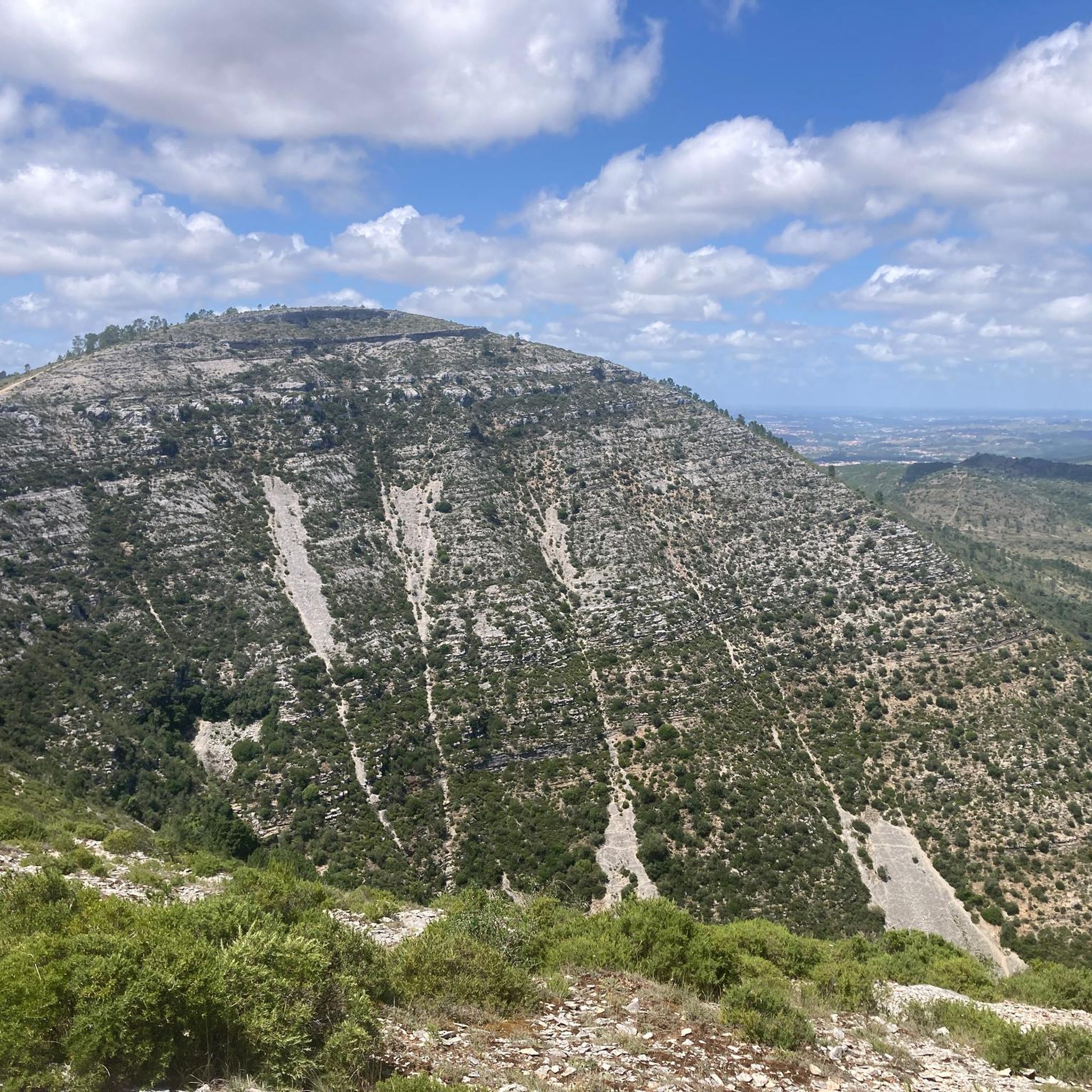
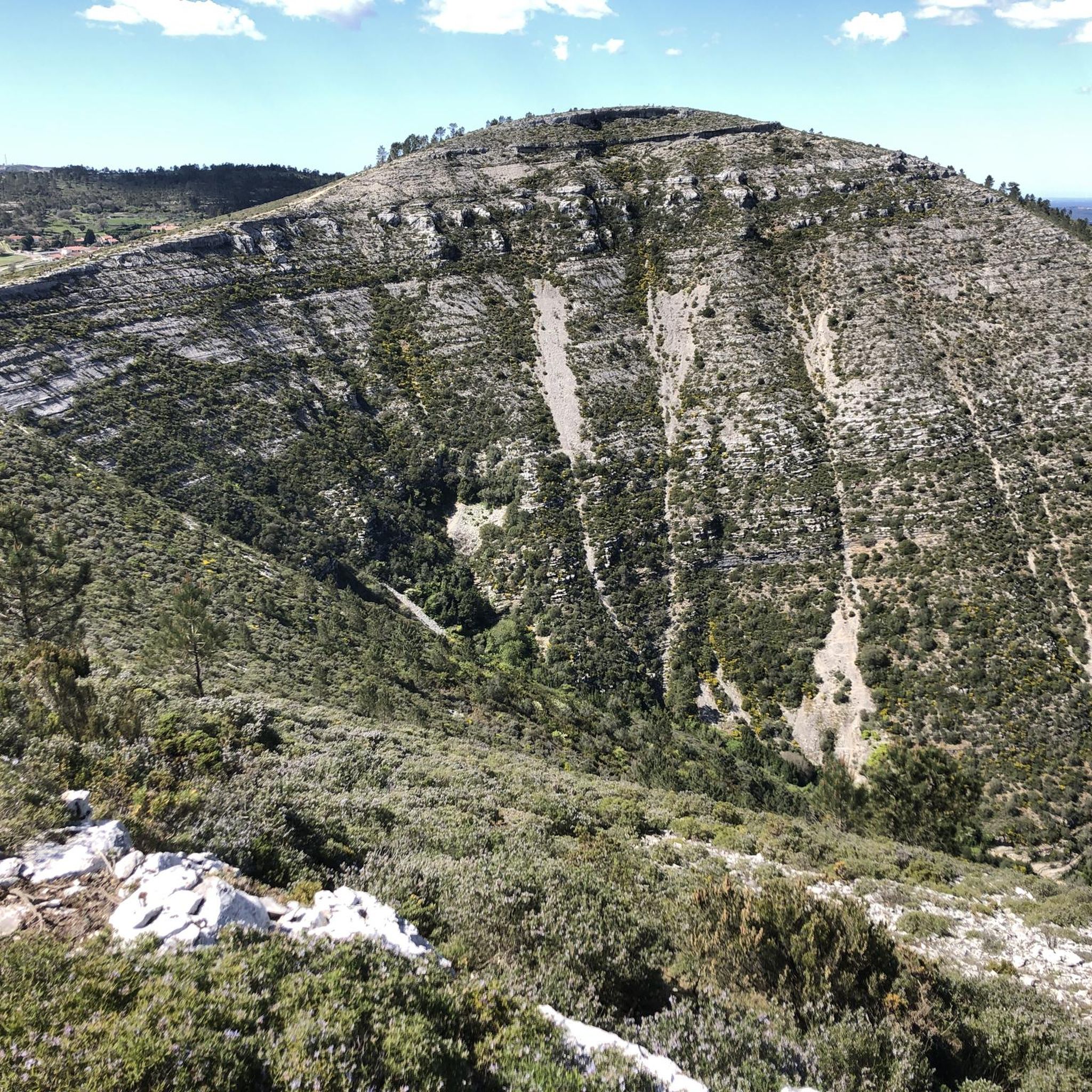
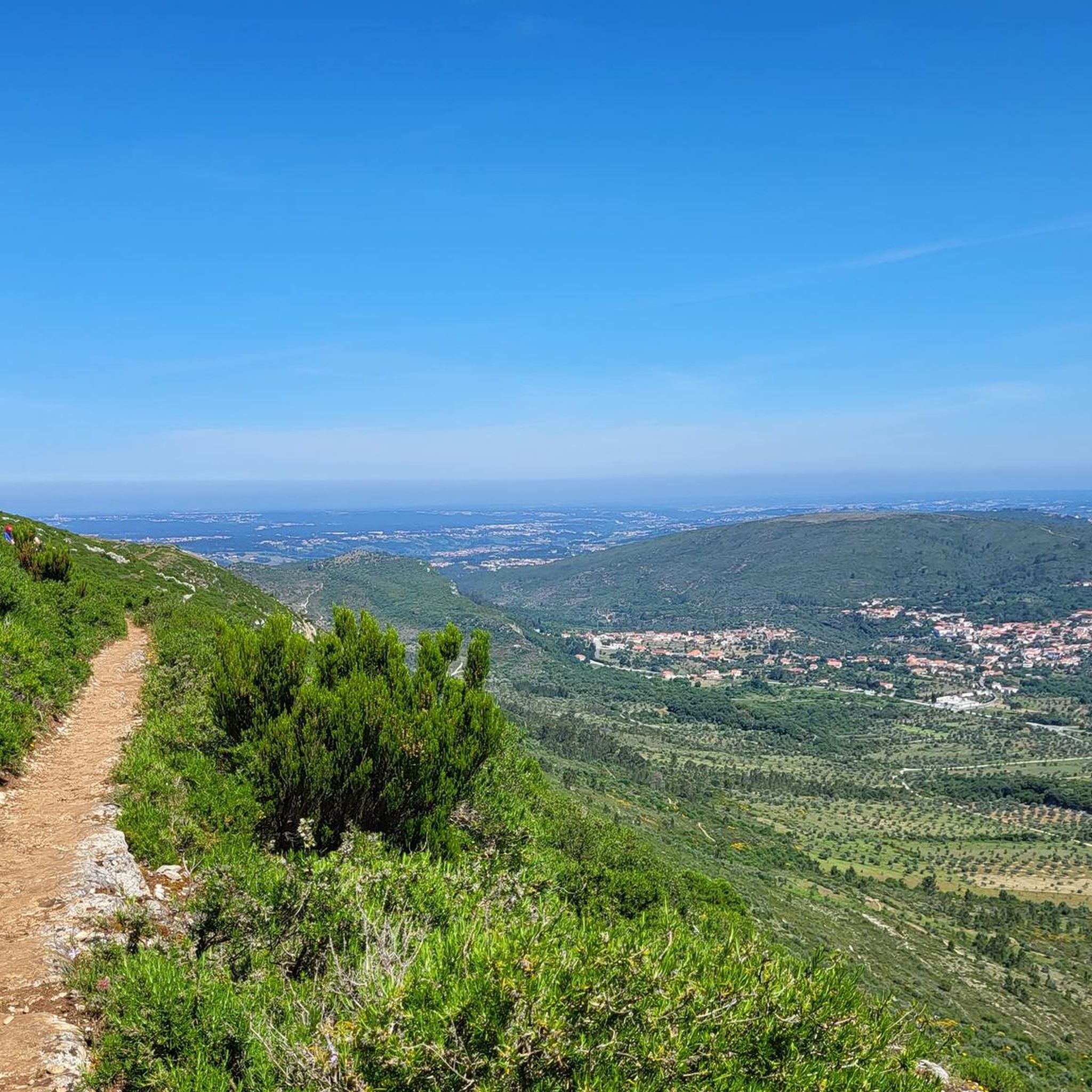
Gorgeous views! The climb to Alqueidão da Serra is tough for beginners.
1
0


In the village of Casais Robustas, along the road to Fatima, there's a very nice café filled with trophies from the pilgrims—flags, shirts, and other items. The staff is very friendly to the pilgrims.
0
0

The magnificent entrance portico of the Igreja de Santa Maria da Vitória is unique in the history of Portuguese art, a work by the Master Huguet (1402–1438). It features an elaborate iconographic ensemble comparable only to the great porticoes of European cathedrals: six apostles on each side, virgins, martyrs, popes, monks, angel figures, God, and the four evangelists...
1
0
Frequently Asked Questions
How many road cycling routes are available in São Bento?
São Bento offers a wide variety of road cycling routes, with over 100 options available. These routes cater to different skill levels, from moderate loops to more challenging ascents across its diverse regions.
What makes road cycling in São Bento unique?
Road cycling in São Bento is characterized by its incredibly diverse and often challenging terrain. Depending on the specific São Bento location, you can experience the mountainous landscapes of Brazil's Mantiqueira Mountains, the 'hilly Brazil' character of Santa Catarina, or the rugged massif of Portugal's Peneda-Gerês National Park. Expect significant elevation changes, winding roads, and scenic vistas through lush forests, open fields, and dramatic mountain passes.
What do other cyclists enjoy most about road cycling in São Bento?
The road cycling routes in São Bento are highly rated by the komoot community, with an average score of 4.1 stars from over 18 reviews. Cyclists frequently praise the varied terrain, the blend of climbs and descents, and the beautiful rural and natural landscapes encountered on routes like the Tribute to the cyclist Diamantino – Castelo De Torres Novas loop from Mira de Aire.
Are there road cycling routes suitable for beginners in São Bento?
Yes, São Bento offers several routes suitable for beginners. While many routes feature significant elevation, there are 8 easy routes available. These typically involve less demanding climbs and shorter distances, allowing new cyclists to enjoy the scenic beauty without excessive challenge. For example, the Ecopista of the Ramal de Mora in São Bento do Mato, Portugal, provides dedicated cycling infrastructure on a green path along an old railway line, offering a moderate and accessible experience.
What kind of challenges can advanced road cyclists expect in São Bento?
Advanced road cyclists will find plenty of challenges in São Bento, with 26 routes classified as difficult. The region's mountainous terrain, particularly in areas like São Bento do Sapucaí (Brazil) and Peneda-Gerês National Park (Portugal), offers significant elevation gains and demanding climbs. Routes can feature gradients like the Serra do Paiol climb, which spans over 12 kilometers with an average gradient of 8.2%, testing endurance and climbing prowess.
Are there any scenic viewpoints or natural attractions along the road cycling routes in São Bento?
Absolutely! São Bento is rich in natural beauty. In Brazil, areas like São Bento do Sapucaí offer panoramic views from iconic rock formations such as Pedra do Baú, while São Bento do Sul features viewpoints like O Vergel, perfect for sunset photography. In Portugal, Peneda-Gerês National Park boasts breathtaking lookout points. You might pass by highlights such as the Porto de Mós Castle or the Memory Arch.
Can I find routes that feature waterfalls in São Bento?
Yes, several regions around São Bento are known for their waterfalls. In São Bento do Sapucaí, Brazil, you can find tranquil settings and scenic spots like the Tobogã waterfall. São Bento do Sul, Brazil, features natural parks like Parque Natural do Braço Esquerdo with waterfalls. In Portugal's Peneda-Gerês National Park, you can discover stunning cascades like Cascada de Pincães and Poço Azul. The Fórnea Waterfall is also a notable highlight in the broader São Bento area.
Are there circular road cycling routes in São Bento?
Yes, many of the road cycling routes in São Bento are designed as loops, offering convenient circular journeys. Examples include the popular Malhou – Pilgrims' Café loop from Mira de Aire and the Ascent from Minde to the viewpoint – Porto de Mós Castle loop from Minde, allowing you to start and finish at the same point.
What is the best time of year for road cycling in São Bento?
The best time for road cycling in São Bento can vary by specific location. Generally, spring and autumn offer pleasant temperatures and stable weather conditions, ideal for tackling the region's varied terrain. In mountainous areas, summer can be warm but also provides lush scenery, while winter might bring cooler temperatures, especially at higher altitudes. Always check local weather forecasts for the specific São Bento region you plan to visit.
Are there options for family-friendly road cycling in São Bento?
While many routes in São Bento are geared towards moderate to advanced cyclists due to the mountainous terrain, there are family-friendly options, particularly among the easier routes. Look for routes with less elevation gain and dedicated cycling paths where available, such as the Ecopista of the Ramal de Mora in São Bento do Mato, Portugal, which offers a safer and more relaxed environment for cycling with children.
How long do road cycling routes in São Bento typically take?
The duration of road cycling routes in São Bento varies significantly based on distance, elevation, and your cycling pace. Moderate routes, such as the Fátima Cycle Route – Casa de Lúcia loop from Mira de Aire (35.7 km), can take around 1 hour 50 minutes. Longer and more challenging routes, like the Carlos Relvas House-Studio – Golegã loop from Minde (80.8 km), might require over 3 hours 45 minutes to complete.
Where can I find parking for road cycling routes in São Bento?
Parking availability will depend on the specific starting point of your chosen route. Many towns and villages that serve as common starting points for cycling routes, such as Mira de Aire or Minde, offer public parking facilities. It's advisable to check local maps or route descriptions for designated parking areas near trailheads or town centers before your ride.
Most popular routes around São Bento
Most popular attractions around São Bento

Get inspired with the komoot mobile app


Explore more
Browse the best Road cycling routes in other regions.
