The best cycling routes around Santo Quintino
5.0
(4)
179
riders
22
rides
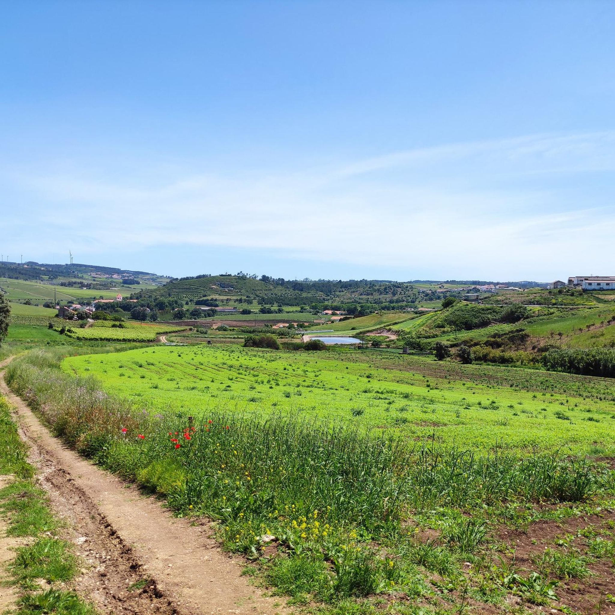
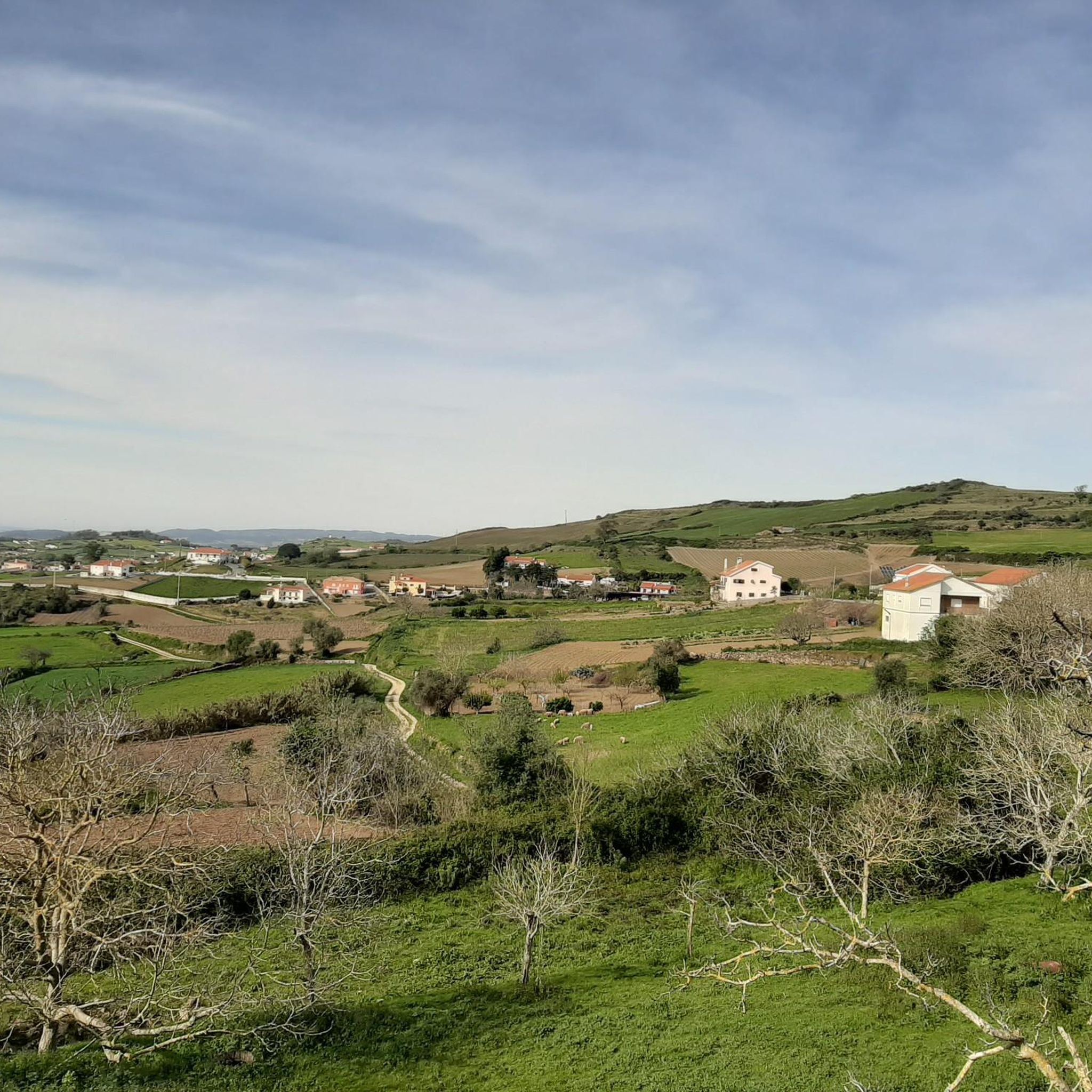
Touring cycling around Santo Quintino, located near Sobral de Monte Agraço in Portugal's Lisbon District, offers a diverse landscape for cyclists. The region is characterized by significant elevation changes, with numerous cycling climbs providing challenging routes. Varied terrain includes green areas, orchards, and olive groves, contributing to scenic views. This combination provides both physically engaging and aesthetically pleasing experiences for touring cyclists.
Best touring cycling routes around Santo Quintino
- The most popular touring cycling route is Praia do Sul (Ericeira)…
Last updated: August 18, 2026
4.5
(2)
19
riders
54.2km
03:35
780m
780m
Hard bike ride. Very good fitness required. Mostly paved surfaces. Suitable for all skill levels.
5.0
(1)
15
riders
53.6km
03:14
400m
400m
Moderate bike ride. Good fitness required. Mostly paved surfaces. Suitable for all skill levels.

Sign up for free
12
riders
55.3km
03:39
750m
750m
Hard bike ride. Very good fitness required. Mostly paved surfaces. Suitable for all skill levels.
6
riders
Moderate bike ride. Good fitness required. Mostly paved surfaces. Suitable for all skill levels.
3
riders
83.0km
05:38
840m
840m
Hard bike ride. Very good fitness required. Mostly paved surfaces. Suitable for all skill levels.
Get access to more routes and recommendations from other explorers.
Sign up for free
Already have an account?
Our route recommendations are based on thousands of hikes, rides, and runs completed by other people on komoot.
Start today with a free account
Your next adventure awaits.
Login or Signup

Tips from the Community

The National Palace of Mafra, located in the town of Mafra, Portugal, is a monumental complex that includes a palace, a convent, a basilica, and the Tapada de Mafra (hunting grounds). Construction began in 1717, commissioned by King John V of Portugal in fulfillment of a vow for the succession of his wife, and it is the most important monument of Portuguese Baroque. Since 2019, the Palace has been a UNESCO World Heritage Site.
2
0
The Alcabrichel River is a Portuguese river that flows into the sea at Porto Novo Beach, in the parish of Maceira, in the municipality of Torres Vedras. Maceira is a key location along the river's course, especially in its final stretch where the river meets the Atlantic Ocean. Characteristics and Highlights in the Maceira Area Mouth at Porto Novo Beach: The river flows into the sea at this beach, creating a picturesque setting where fresh water mixes with salt water. The mouth area is a point of natural and scenic interest, much photographed, especially at sunset. Landscape and Environment: The river's course in the Maceira area and its surroundings is characterized by a valley with low alluvial deposits and slopes with cliffs, providing rural landscapes and, near the coast, a coastal environment. Trails and Routes: The region is popular for outdoor activities. There are several hiking and cycling trails that follow the riverbanks or lead from Maceira to the mouth and Porto Novo Beach, some using wooden walkways in specific sections. Vimeiro Thermal Baths: The Alcabrichel River passes near Vimeiro, famous for its thermal baths and medicinal waters, which have attracted people seeking health treatments since the 19th century. Historical Heritage: The river mouth has historical relevance, as it was the landing site of British troops before the Battle of Vimeiro, during the French Invasions in 1808. The union of the parishes of A dos Cunhados and Maceira highlights the Alcabrichel River as one of its points of visit and environmental interest, being the object of efforts for its protection and environmental requalification.
2
0
Santa Cruz Beach is actually a collection of several beaches located in the municipality of Torres Vedras, in the western region of Portugal. It is a coastal area highly appreciated for its natural beauty, imposing cliffs, and excellent conditions for water sports such as surfing and bodyboarding. Main Characteristics Extensive Sandy Area: The Santa Cruz area has an extensive sandy area divided into several distinct beaches, some busier and others more wild. Cliffs and Landscape: The landscape is marked by cliffs and bluffs that provide stunning views of the Atlantic Ocean. Several viewpoints, such as the one at Praia do Mirante, offer privileged observation points, especially at sunset. Integrated Beaches: The beach complex includes: Azenha Beach: Located in the center of the village, it has an old watchtower and a natural pool that forms at low tide. Praia da Física, Praia do Pisão, Praia do Mirante and Praia da Vigia: Other beaches that make up the Santa Cruz coastline, each with its own specific characteristics. Praia Azul and Praia Formosa: Beaches that have been the target of coastal protection interventions and are also part of the complex. Surfing: The region is very popular among surfers and bodyboarders, due to the sea conditions and consistent waves. Infrastructure: The central area of Santa Cruz has good infrastructure, including parking, cafes, restaurants and, in some beaches, accessibility for people with reduced mobility. Activities and Attractions Beach Cycle Path: The beach is connected by a cycle path (part of the EuroVelo 1 route) that allows a pleasant ride between Porto Novo and Santa Cruz, with views of the dunes and cliffs. Sizandro Ecotrail: Santa Cruz Beach is close to the mouth of the Sizandro River, where the Sizandro Ecotrail begins, a popular route for walking and cycling towards Torres Vedras. Paragliding: The cliff area is known for being a suitable location for paragliding, especially at Santa Rita Beach. Events: The village of Santa Cruz and its beaches host events, including water sports championships and summer festivals. Santa Cruz Beach is a versatile destination, ideal for those seeking relaxation by the sea as well as those who prefer physical activities and contact with nature.
2
0
The Sizandro Ecotrail is a cycle and pedestrian path that connects the city of Torres Vedras to the Atlantic coast, following the course of the Sizandro River to its mouth. It is a very popular route for cyclists and walkers seeking to enjoy rural and coastal landscapes. Route and Characteristics Starting point: The ecotrail begins at the Regional Exhibition Park in the city of Torres Vedras. Destination: The main route continues to the mouth of the Sizandro River. Shortly before the mouth, there is a fork that connects to the Beach Cycle Path, which goes to Santa Cruz Beach and Porto Novo. Length: The route to the mouth is approximately 19 km. Connecting with other cycle paths can extend the total route to more than 44 km. Difficulty level: The ecotrail is quite flat, without major elevation changes, and uses wide and well-maintained roads, making it accessible to all fitness levels. What to see: The route passes through natural areas, with views of the river and agricultural fields, crossing some towns and villages, such as Ribeira de Pedrulhos, Ponte do Rol, Bordinheira and Aranha. Infrastructure: Along the way, there are rest areas and villages with cafes and other support points. The Sizandro Ecotrail is an excellent option for those who want to combine physical activity with exploring the beautiful landscapes of the interior and coast of the municipality of Torres Vedras.
1
0
Ericeira Beach doesn't refer to a single beach, but to several beaches located in the village of Ericeira, in the municipality of Mafra. The village is internationally recognized as the first World Surfing Reserve in Europe, with world-class waves and stunning landscapes. Featured Beaches Fishermen's Beach: Located in the bay of Santa Marta, it is one of the most sheltered beaches from the wind and with calmer waters, ideal for bathers and families. It is where local fishermen keep their boats. South Beach (Whale Beach): One of the most emblematic beaches in the village, perfect for photos. From the viewpoint, it is possible to see a natural pool protected by rocks. Ribeira d'Ilhas: Famous for its perfect waves for surfing, it hosts national and international surfing events. It has a Blue Flag and accessibility for people with reduced mobility. Foz do Lizandro: A wide and beautiful beach, ideal for those seeking more space and has good bars and restaurants. São Julião Beach: More secluded and with imposing cliffs, it attracts surfers and those seeking a wilder environment. São Sebastião Beach: Offers incredible views from the viewpoint. Matadouro Beach: Picturesque, with good conditions for surfing. Tips for visitors Surfing: Ericeira offers several beaches for all levels of surfers, from beginners to advanced. There are many surf schools in the region. Gastronomy: The village is famous for its fresh fish and seafood restaurants, which can be found on several beaches. Excursions: The beaches are connected by trails and walking paths, allowing you to explore the coast and viewpoints.
1
0
The Miradouro da Praia do Sul viewpoint, located in Ericeira, in the municipality of Mafra, Portugal, is a privileged observation point to admire the Atlantic coast. From there, it's possible to have a panoramic view over Praia do Sul (also known as Praia da Baleia), the village, and the Ericeira World Surfing Reserve. Features and what to see Praia do Sul: The beach, which is about 400 meters long, is visible from the viewpoint. Next to a nearby hotel, there is a natural pool protected by a rocky breakwater, offering calmer conditions for swimming. Ericeira Village: The viewpoint also provides views over the village of Ericeira, known for its fishing tradition and its importance as a surfing destination. Walking path: The beach is crossed by a walking path that connects the village to the viewpoint, making it an easily accessible place for walks. Sunset: The sunset view from the viewpoint is one of the highlights of the visit. Information about access Location: The viewpoint is located at the top of a cliff, at the end of a steep ramp leading to Praia do Sul (South Beach). Accessibility: Although access to the beach can be steep in some places, the viewpoint offers an accessible view. Trails: The region also offers trekking trails that may include the viewpoint and Praia do Sul.
2
0
Santa Rita Sul Beach is one of the most emblematic beaches in Torres Vedras, Portugal. Located on the Atlantic coast, it is known for its extensive sandy area and rough waters, ideal for water sports such as surfing and bodyboarding. Characteristics: - Sand: The beach has a wide and extensive sandy area, approximately 1.2 km long. - Sea: The sea is rough, with strong waves and currents, making it ideal for experienced surfers and bodyboarders. - Access: The beach is accessible via Avenida Dr. Joaquim Jacinto, next to the village of Santa Rita. - Infrastructure: The beach has a car park, wooden walkways, and support services such as umbrella and awning rentals. Activities: - Surfing and Bodyboarding: The beach is a popular spot for water sports, especially surfing and bodyboarding. - Walks: The beach is an ideal location for walks along the coast, with stunning views of the Atlantic Ocean. Awards: - Blue Flag: Santa Rita Sul Beach has received the Blue Flag, an award that recognizes the quality and safety of the beach. - Gold Quality: The beach has also received the Gold Quality Award, a prize that recognizes the beach's excellence in terms of water quality, safety, and infrastructure.
2
0
Fishermen's Beach! It's one of the most emblematic beaches in Lisbon, Portugal. Located in the Cascais area, it's known for its natural beauty and fishing tradition. The beach is surrounded by rocks and offers incredible views of the Atlantic Ocean. It's a popular spot for walks, relaxation, and enjoying the local culture.
3
0
Frequently Asked Questions
How many touring cycling routes are available in Santo Quintino?
There are over 20 touring cycling routes available around Santo Quintino. These routes cater to various skill levels, with a focus on moderate to difficult challenges.
What kind of terrain can I expect when touring cycling around Santo Quintino?
Santo Quintino is characterized by its hilly terrain, featuring numerous cycling climbs that offer a physically engaging experience. You'll encounter varied landscapes, including green areas, orchards, and olive groves, providing scenic views throughout your ride.
What do other cyclists say about touring cycling in Santo Quintino?
The komoot community highly rates the touring cycling experience in Santo Quintino, with an average score of 4.9 stars from over 5 reviews. More than 200 touring cyclists have already explored the area using komoot, often praising the challenging climbs and diverse scenery.
When is the best time of year to go touring cycling in Santo Quintino?
Given the region's climate, spring and autumn generally offer the most pleasant conditions for touring cycling in Santo Quintino, with milder temperatures and less extreme weather. Summer can be warm, while winter might bring more rain, though cycling is possible year-round.
Are there any family-friendly touring cycling routes in Santo Quintino?
While many routes in Santo Quintino feature significant elevation changes and are rated moderate to difficult, making them more suitable for experienced cyclists, some sections or shorter loops might be adaptable for families with older children. Always check the route's elevation profile and distance before setting out.
What landmarks or points of interest can I see along the touring cycling routes?
Cyclists can discover several interesting landmarks and historical sites. For instance, you might encounter the historical Manueline church of Santo Quintino. Other notable points of interest in the wider area include the Grandella Sanatorium Ruins, the Alenquer Wine Museum, and Forte da Archeira.
Are there any natural features to look out for on touring cycling routes in Santo Quintino?
Yes, the region boasts beautiful natural elements. You can find routes that pass through orchards and olive groves, offering a tranquil rural backdrop. For a unique natural experience, consider exploring the Shaded Trail with Waterfalls or visiting the Cabeço de Meca Quarry Lake.
Are there any viewpoints offering scenic views on the touring cycling routes?
Absolutely. The hilly nature of Santo Quintino provides many opportunities for panoramic views. A notable spot is the Swing at Cabeço de Montachique Viewpoint, which offers expansive vistas of the surrounding landscape.
Are there any longer touring cycling routes for experienced cyclists?
For experienced cyclists seeking a longer challenge, the Rio Alcabrichel 🌊 Maceira – The Alcabrichel Valley loop from Dois Portos is a difficult route spanning over 82 km with significant elevation gains, typically taking over 5 hours to complete.
Where can I find parking for touring cycling routes in Santo Quintino?
While specific parking areas for each route are not always designated, you can typically find parking in the towns and villages near the starting points of the routes, such as Sobral de Monte Agraço or Arruda dos Vinhos. Always check local signage for parking regulations.
Is public transport available to access touring cycling routes in Santo Quintino?
Public transport options to Santo Quintino and surrounding areas may include regional buses. However, direct access to specific trailheads might be limited, so planning your journey with a combination of transport and cycling is often recommended.
Are there places to eat or stay near the cycling routes in Santo Quintino?
Yes, the towns and villages in the Santo Quintino area, such as Sobral de Monte Agraço and Arruda dos Vinhos, offer various amenities including cafes, restaurants, and guesthouses where you can refuel and rest after your rides.
Can I find routes that feature a river or valley landscape?
Yes, for a route that explores a river valley, consider the challenging Rio Alcabrichel 🌊 Maceira – The Alcabrichel Valley loop from Dois Portos. This route follows the Alcabrichel Valley, offering a different natural perspective.
Most popular attractions around Santo Quintino

Get inspired with the komoot mobile app


Explore more
Browse the best Cycling routes in other regions.
