The best walks and hikes around Castanheira Do Ribatejo
4.3
(23)
102
hikers
9
hikes
Hiking trails around Castanheira Do Ribatejo are primarily shaped by the Tagus River and its extensive floodplains, offering flat landscapes ideal for nature walks and bird watching. The region, part of the wider Ribatejo area, features accessible green spaces and parks within the municipality of Vila Franca de Xira. Terrain varies from serene riverside paths to more undulating routes further inland, providing diverse options for outdoor exploration.
Best hiking trails in Castanheira Do Ribatejo
- The most popular hiking route is…
Last updated: May 11, 2026
5.0
(11)
74
hikers
9.76km
02:29
30m
30m
Moderate hike. Good fitness required. Easily-accessible paths. Suitable for all skill levels.
4.4
(5)
8
hikers
10.3km
03:03
310m
310m
Moderate hike. Good fitness required. Easily-accessible paths. Suitable for all skill levels.

Sign up for free
3.0
(1)
10
hikers
22.5km
05:42
50m
50m
Hard hike. Very good fitness required. Easily-accessible paths. Suitable for all skill levels.
4.7
(6)
4
hikers
5.51km
01:33
110m
110m
Easy hike. Great for any fitness level. Easily-accessible paths. Suitable for all skill levels.
3
hikers
11.8km
03:38
440m
440m
Moderate hike. Good fitness required. Easily-accessible paths. Suitable for all skill levels.
Get access to more routes and recommendations from other explorers.
Sign up for free
Already have an account?
Our route recommendations are based on thousands of hikes, rides, and runs completed by other people on komoot.
Start today with a free account
Your next adventure awaits.
Login or Signup

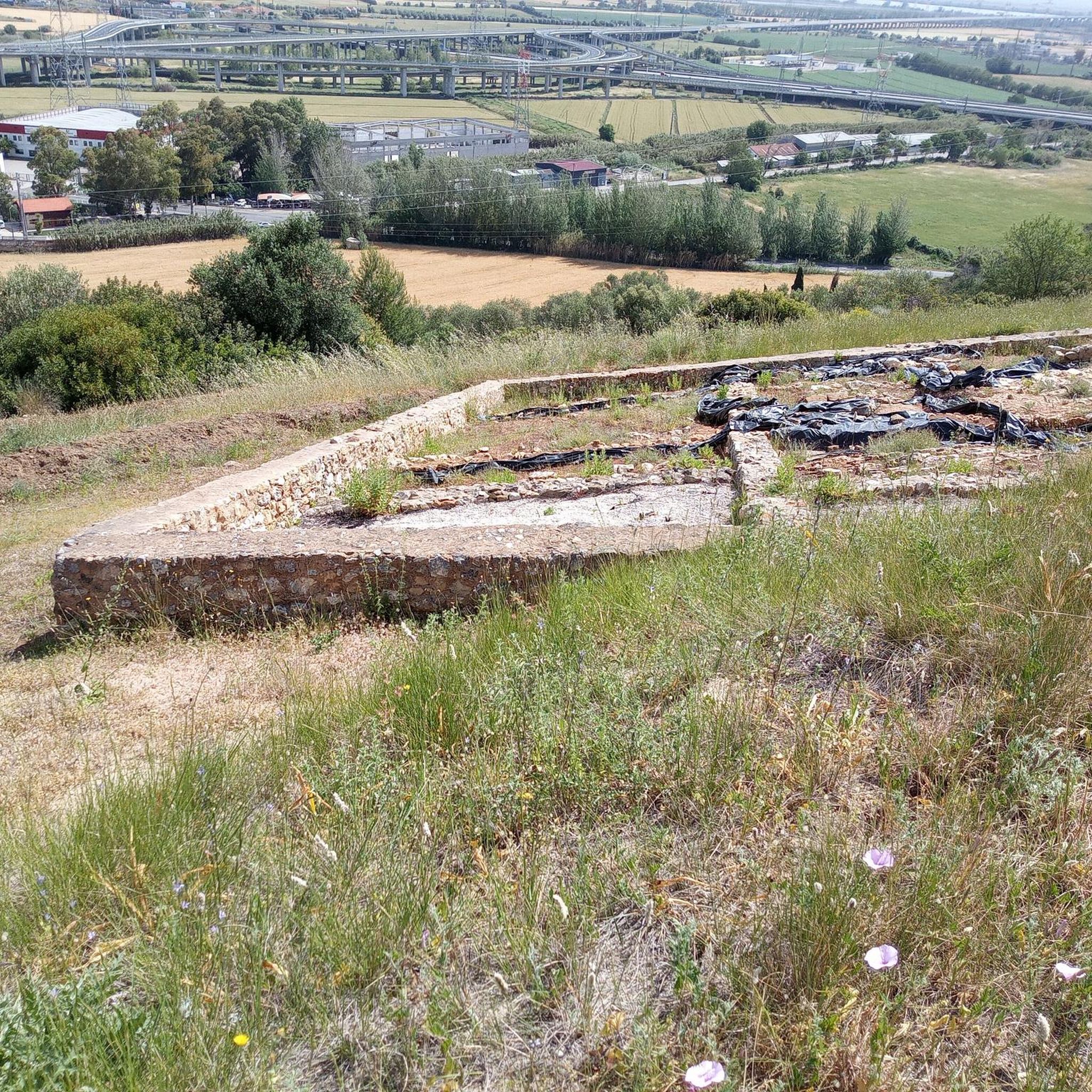
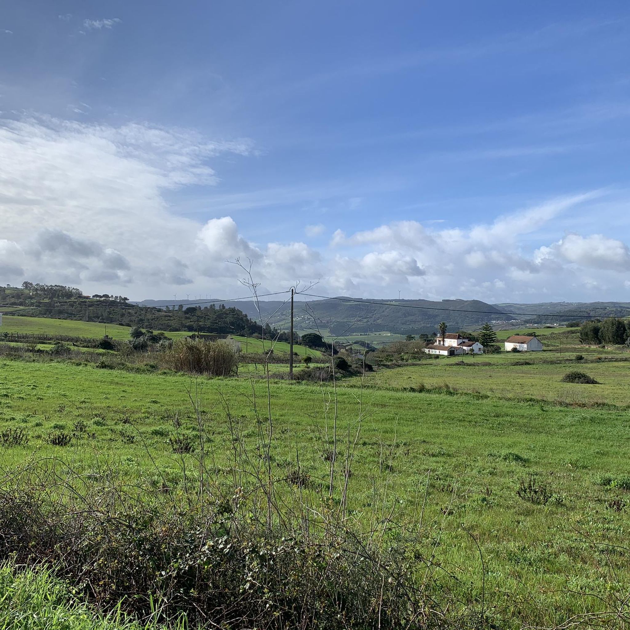

Tips from the Community

Constantino Palha Municipal Park is one of the main tourist attractions in Vila Franca de Xira, located next to the train station and the Tagus River. It occupies an area of 400 meters in front of the river and is considered the most charismatic garden in the city. Highlights: - Bandstand: a 19th-century bandstand is one of the park's main attractions, where cultural events frequently take place. - Lakes: the lakes are a characteristic element of the garden, adding a touch of serenity to the environment. - Playground: a fun area for children, making it a popular destination for families. - Cafeteria: offers a cozy place to relax and enjoy the river view. - Paths: the winding paths allow visitors to take pleasant walks through the garden, enjoying nature and the view of the Tagus River.
1
0


It is the seat of the municipality of Benavente[3] with an area of 521.38 km²[4] and 29,709 inhabitants (2021),[5][6] subdivided into 4 parishes.[3] The municipality is bordered to the north by the municipality of Azambuja, to the northeast by Salvaterra de Magos, to the east by Coruche, to the southeast by the secondary area (exclave) of Montijo, to the south by Palmela and Alcochete, to the southwest by the Tagus Estuary (marshy land officially assigned to the municipality of Alcochete) and to the northwest by Vila Franca de Xira.
2
0

Located next to the Constantino Palha Municipal Garden, a bronze sculpture was installed next to the pier, in the riverside area of Vila Franca de Xira, in honor of the jorna workers. The work of the sculptor João Duarte was inaugurated in July 2013. This sculpture saves the memory of the men and women who gathered on the pier looking for work (la jorna which means a day of work). The farmers or their foremen arrived by boat and hired a good part of the labor for the fields of Lezíria or for the factories of the municipality.
2
0

The Lines of Torres Vedras are 152 defensive fortifications, built between 1809 and 1812 near Lisbon, which prevented the French advance in the Peninsular War. The Forte do Moinho Branco (or Sinais) is one of these buildings.
0
0
Designed by Lieutenant Colonel Joaquim da Costa Cascaes and approved in 1874, the monument commemorates the Anglo-Portuguese victory over Napoleon and the construction of the Lines of Torres Vedras. Completed in 1883, it features a statue of Hercules, the work of the sculptor Simões de Almeida, with classical attributes.
1
0
Founded in 1558 by Cardinal D. Henrique, the main church was a majestic temple for the time. After a fire, it was completely rebuilt with simple, unadorned architecture. Its interior, however, houses a valuable collection of sacred art from the 17th and 18th centuries, including pieces from the original church and other churches in Lisbon.
0
0
The Constantino Palha Municipal Garden, the most charismatic in Vila Franca de Xira, is located next to the train station and stretches 400 meters along the river. Renovated in 2011, it stands out for its bandstand, lakes and terrace overlooking the river. Shaded by plane trees, ash trees and mulberry trees, it has a popular children's playground and is the stage for various events.
2
1
Frequently Asked Questions
What kind of terrain can I expect on hiking trails around Castanheira Do Ribatejo?
The hiking terrain around Castanheira Do Ribatejo is primarily defined by the Tagus River and its extensive floodplains, known as lezírias. This means you'll find many flat landscapes, ideal for nature walks and bird watching. However, the broader Ribatejo region also offers more varied landscapes, including some undulating routes further inland, such as the climb to Forte do Moinho Branco on the Forte do Moinho Branco from Alhandra — circular route.
Are there any easy or family-friendly hiking options in Castanheira Do Ribatejo?
Yes, Castanheira Do Ribatejo offers several easy and family-friendly hiking options. The flat riverside paths along the Tagus are generally suitable for all ages and fitness levels. An example of an easy route is the Stone Mill loop from Cardosas, which is 5.5 km long and takes about 1 hour 33 minutes to complete.
What natural features or landmarks can I see while hiking in the area?
While hiking around Castanheira Do Ribatejo, you can enjoy the picturesque views of the Tagus River and its floodplains, which are excellent for bird watching. Nearby, you can explore green spaces like the Constantino Palha Municipal Garden in Vila Franca de Xira, known for its winding paths and river views, or the Alhandra Picnic Park. Historical landmarks include the Cais da Jorna and Fishermen's Monument and the Marechal Carmona Bridge.
Are there any circular hiking routes available?
Yes, there are circular hiking routes in the area. A popular option is the Forte do Moinho Branco from Alhandra — circular route, which is a moderate 10.3 km path that includes a climb to Forte do Moinho Branco, offering views of the surrounding area. Another is the Serra da Adanaia – Forte do Moinho Branco loop from Alhandra, a longer moderate route with significant elevation.
What is the best time of year to go hiking in Castanheira Do Ribatejo?
The Ribatejo region, where Castanheira Do Ribatejo is located, experiences diverse weather. Spring and autumn generally offer the most pleasant conditions for hiking, with milder temperatures. Summer can be quite hot, especially in the open floodplains, while winter can bring cooler, wetter weather. For bird watching, the Tagus estuary is particularly important during migration seasons.
What do other hikers say about the trails in Castanheira Do Ribatejo?
The routes in Castanheira Do Ribatejo are highly rated by the komoot community, with an average score of 4.4 stars from over 20 reviews. Hikers often praise the serene riverside paths, the opportunities for bird watching, and the accessibility of the green spaces. Many appreciate the variety, from easy strolls to more challenging routes with elevation.
Are there any longer or more challenging hikes for experienced hikers?
Yes, for experienced hikers looking for a challenge, the Obelisk of Benavente loop from Samora Correia is a difficult 22.5 km trail. This route leads through the flat plains of the Ribatejo and typically takes about 5 hours 42 minutes to complete. Another moderate option with significant elevation is the Serra da Adanaia – Forte do Moinho Branco loop from Alhandra.
Can I reach hiking trails in Castanheira Do Ribatejo using public transport?
Castanheira Do Ribatejo is part of the municipality of Vila Franca de Xira, which is generally accessible by public transport from Lisbon. While specific trailheads might require local transport or a short walk, the region's focus on accessible green spaces and riverside paths suggests that many starting points are within reasonable reach of local public transport links. It's advisable to check local bus or train schedules for specific routes.
Are there places to eat or stay near the hiking trails?
Castanheira Do Ribatejo and the surrounding towns within the Vila Franca de Xira municipality offer various amenities. You can find cafes, restaurants, and accommodation options in these areas, particularly in the more populated centers. These establishments provide convenient spots for refreshments or overnight stays before or after your hikes.
How many hiking trails are there in Castanheira Do Ribatejo?
There are 8 hiking trails documented in Castanheira Do Ribatejo on komoot. These routes offer a range of difficulties, including 2 easy, 5 moderate, and 1 difficult option, catering to various preferences and fitness levels.
Where can I find more information about walking routes in the broader Ribatejo region?
For more information on walking routes across the wider Ribatejo region, which includes Castanheira Do Ribatejo, you can visit the official tourism website. The region promotes 8 short-distance hiking trails and 11 walking routes that explore its diverse natural beauty. You can find more details at visitribatejo.pt.
Most popular routes around Castanheira Do Ribatejo
Most popular attractions around Castanheira Do Ribatejo

Get inspired with the komoot mobile app


Explore more
Browse the best Hikes in other regions.
