Top 5 Mountain Passes around Serra De Água
Best mountain passes around Serra De Água, located in Madeira, are characterized by dramatic mountain scenery and a network of trails. The region features significant mountain passes that connect the island's northern and southern parts. These passes offer panoramic views and serve as access points to various hiking routes. The area's natural landscape includes dense forests and diverse flora, particularly along levada walks.
Best mountain passes around Serra De Água
- The most popular mountain passes is View of Boca do…
Last updated: June 26, 2026
Cabeça do Urso
Highlight • Trail
Translated by Google •
Tip by

Vereda da Encumeada
Highlight • Trail
Translated by Google •
Tip by

Sign up now to discover places like this
Get recommendations on the best single tracks, peaks, & plenty of other exciting outdoor places.
Sign up for free
Saddle
Highlight • Mountain Pass
Translated by Google •
Tip by

View of São Vicente and Ribeira Brava
Highlight • Viewpoint
Translated by Google •
Tip by
Boca das Torrinhas
Highlight • Mountain Pass
Translated by Google •
Tip by

Sign up for free to discover even more mountain passes around Serra De Água.
Sign up for free
Already have an account?
Start today with a free account
Your next adventure awaits.
Login or Signup

Other adventures around Serra De Água

Tips from the Community

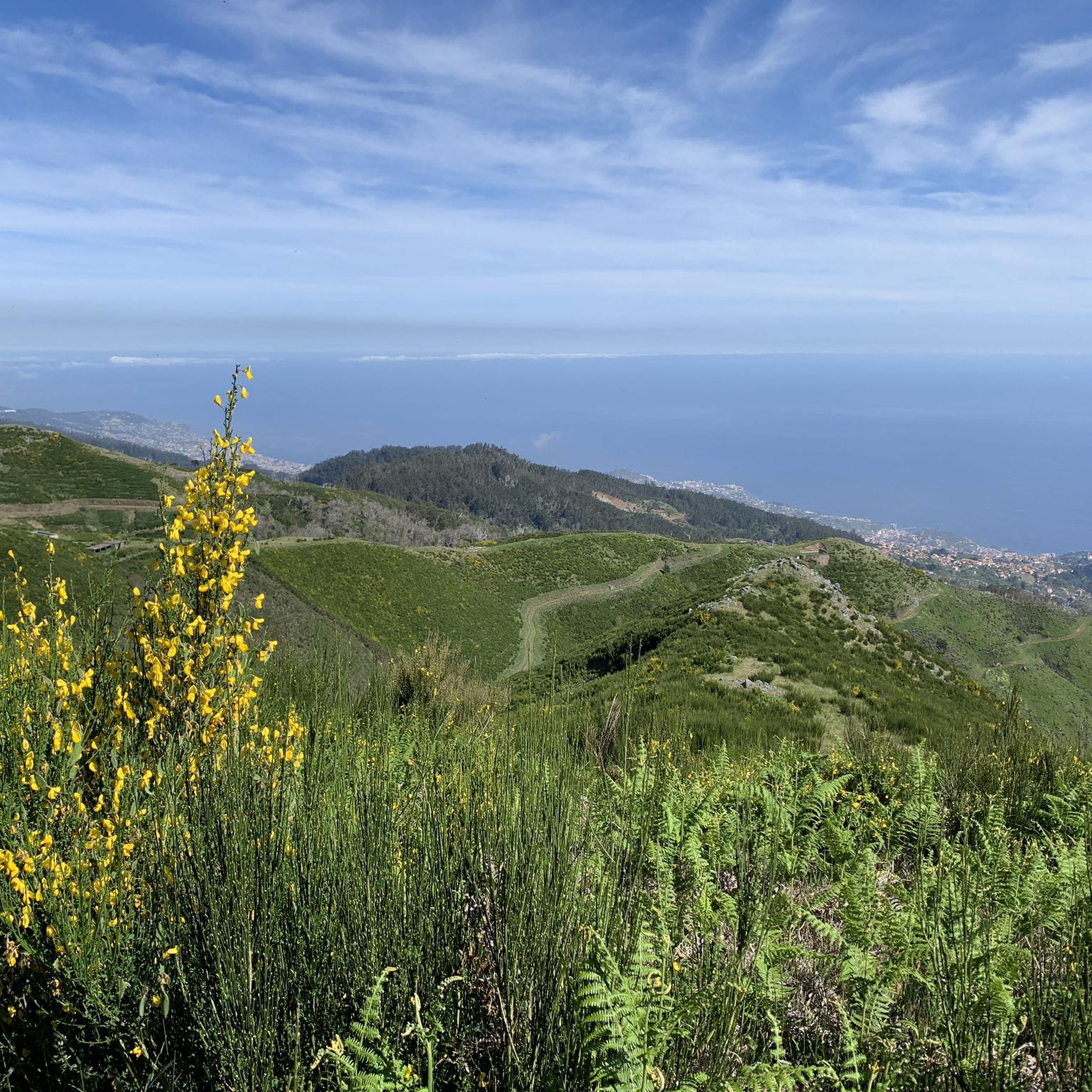
The Vereda da Encumeada trail offers scenic views along mountain ridges and slopes, repeatedly connecting deep valleys with vistas stretching all the way to the coast. The route alternates between narrow paths, some steeper sections, and quieter stretches through lush greenery – ideal if you're looking for a longer, varied hike. In wet conditions, hiking poles and sturdy shoes are invaluable, as the ground can be slippery in places.
4
0

The Pico do Arreeio summit is GIANT in the morning and worth every effort. Unfortunately, the hike to Pico Ruivo is closed shortly after the start – without any warning! The signs say you can go (September 2025), but suddenly you find yourself in front of an iron gate! On the way back, you're charged €3 per person, without any warning... The beautiful view at the beginning was worth it, but the overall impression is strange...
2
0

The route begins at the Pico Ruivo refuge at approximately 1,764 m and continues westward along the central ridge to the Encumeada Pass at 1,007 m. Along the way, you'll pass through two important ecosystems that are part of the Natura 2000 network: Laurisilva forest: An evergreen, humid laurel forest known for its biodiversity. Central mountain range: Characterized by volcanic escarpments and open heathlands. Along the trail are historic caves such as the Furna da Lapa da Cadela, which once served as shelters for heathland gatherers. Current Notice: Trail Closure (as of May 2025): Please note that the PR1.3 hiking trail is currently officially closed. The closure affects the section between kilometer point PK7+680 (Boca da Corrida) and Encumeada. It is strongly recommended to obtain up-to-date information from official bodies or local authorities before planning a hike.
5
0


Steep intermediate climb on the way from Pico do Arieiro via Pico das Torres to Pico Ruivo. One of the most beautiful hikes you can do on Madeira.
1
0

Frequently Asked Questions
What makes the mountain passes around Serra De Água unique?
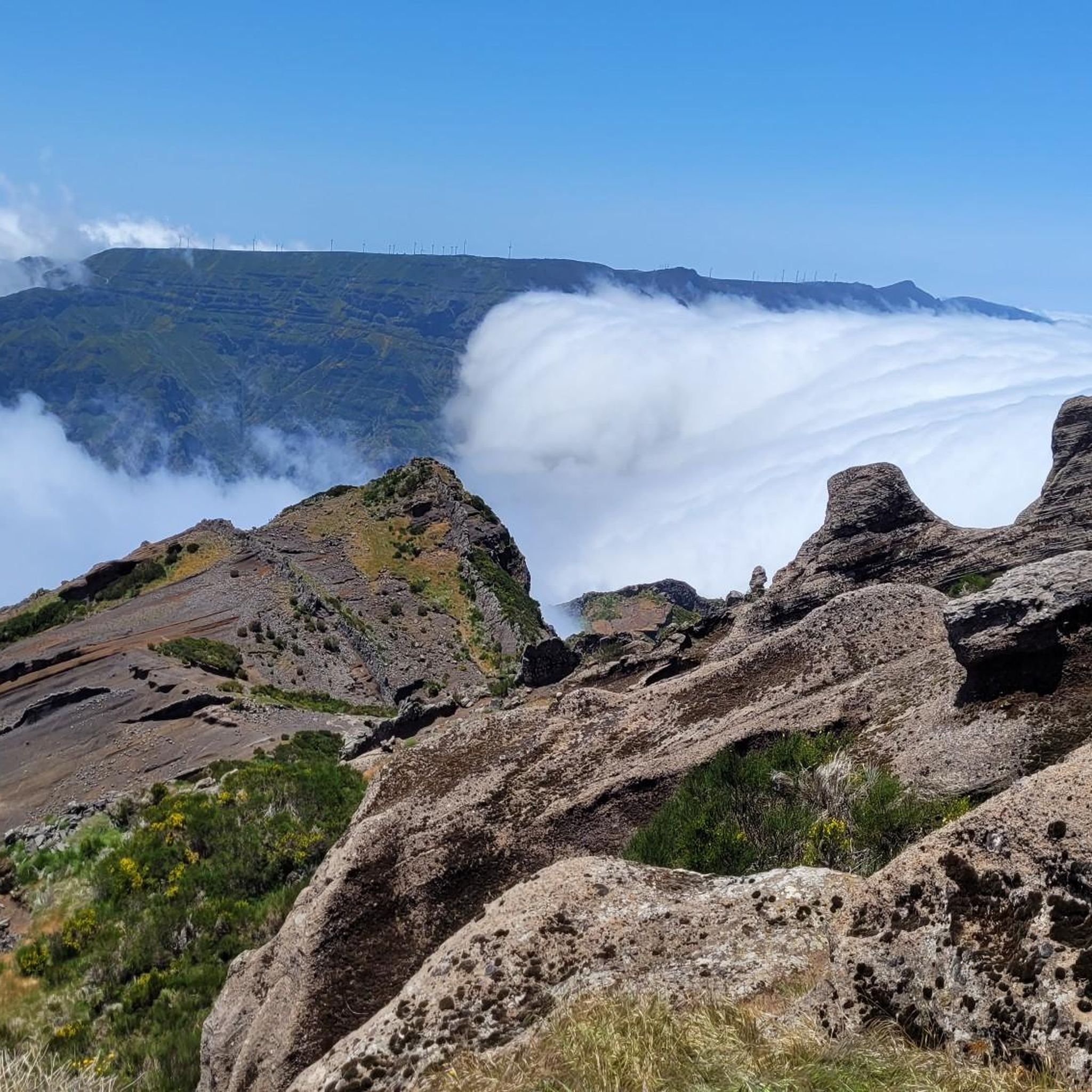
The mountain passes in Serra De Água, particularly the Encumeada Pass, are renowned for their dramatic scenery. On clear days, you can experience breathtaking panoramic views that allow you to see both the north and south coastlines of Madeira simultaneously. The region is also famous for the mesmerizing 'sea of clouds' phenomenon, which can be observed from higher elevations.
Which mountain pass is considered the most significant in Serra De Água?
The Encumeada Pass is the most significant and frequently highlighted mountain pass in Serra De Água. It serves as a crucial crossroads, connecting the northern and southern parts of the island, and offers unparalleled views.
Are there specific viewpoints to experience the panoramic views?
Yes, the View of Boca do Encumeada Pass is a popular spot offering a fantastic perspective of the Encumeada Pass and its surrounding landscape. From the Encumeada Pass itself, you can often see both coastlines of Madeira.
What kind of hiking trails can I find near the mountain passes?
The area around Serra De Água's mountain passes is a gateway to numerous hiking trails. You can find routes like Vereda da Encumeada, which offers scenic views along mountain ridges and slopes. Many trails, including those leading to Rabacal and the 25 Fontes waterfalls, start from or pass through this region. For more options, explore the Hiking around Serra De Água guide.
Are there challenging hiking routes for experienced trekkers?
Absolutely. For experienced hikers, there are demanding routes such as the climb to Saddle, a narrow pass between Pico Ruivo and Pico das Torres, which rewards with incredible views after a strenuous ascent. Another challenging option is Cabeça do Urso, part of a spectacular hike between Pico do Arieiro and Pico Ruivo. The Scenic path between Ruivo and Arieiro also offers an impressive and vertiginous experience.
Are there easier walks or family-friendly options near the passes?
Yes, while many trails are challenging, there are easier options available. The region features various levada walks, which are generally less strenuous. For specific easy routes, you can check the Easy hikes around Serra De Água guide, which includes routes like Vereda do Chão dos Louros.
What are Levada walks, and can I find them near the passes?
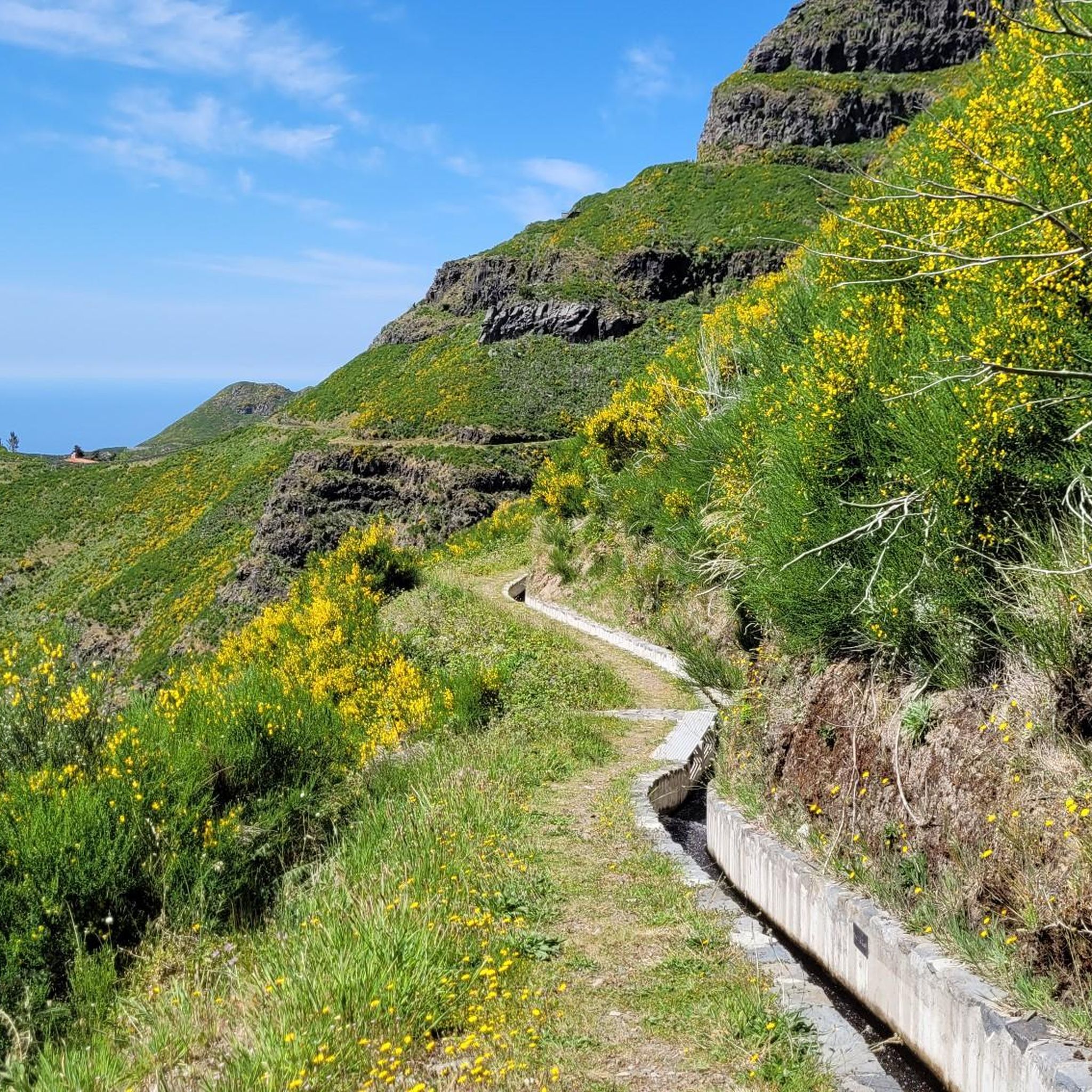
Levadas are unique irrigation channels found in Madeira, often accompanied by walking paths. The Levada do Norte, an extensive network, passes through the region near Encumeada Pass, offering scenic and relatively flat walks through lush landscapes. These are excellent for experiencing the island's natural beauty.
When is the best time to visit the mountain passes for clear views?
For the best chance of clear, unobstructed views, especially from Encumeada Pass, early morning visits are highly recommended. Clouds typically tend to roll in during the afternoon, potentially obscuring the panoramic vistas.
What kind of flora and fauna can I expect to see?
The area around Serra De Água, including the mountain passes, boasts a rich natural heritage. You'll encounter dense forests, particularly along the levada walks, and diverse flora and fauna. The Vereda da Encumeada trail, for instance, passes through two important ecosystems: the Laurisilva forest, known for its biodiversity, and the central mountain range with its volcanic escarpments and heathlands.
Do the mountain passes have any historical significance?
Yes, the Encumeada Pass has historical importance as a vital link across the island. Notably, Winston Churchill is recorded to have visited Encumeada Pass in the 1950s. Additionally, trails like Vereda da Encumeada feature historic caves such as Furna da Lapa da Cadela, which once served as shelters.
What do visitors enjoy most about the mountain passes in Serra De Água?
Visitors frequently praise the spectacular and unique panoramic views, especially the ability to see both coastlines from Encumeada Pass. The opportunity to witness the 'sea of clouds' is also a highlight. Hikers appreciate the variety of trails, from challenging ascents to scenic levada walks, and the rich natural environment. The komoot community has shown strong appreciation, with over 1000 upvotes and more than 300 photos shared for the mountain passes in the region.
Are there any trail closures I should be aware of?
It's always advisable to check current conditions before heading out. For example, as of May 2025, the PR1.3 hiking trail (Pico Ruivo e Boca da Encumeada) is officially closed between kilometer point PK7+680 (Boca da Corrida) and Encumeada. Always obtain up-to-date information from official bodies or local authorities before planning your hike.
Most popular routes around Serra De Água
Most popular attractions around Serra De Água

Get inspired with the komoot mobile app


Explore more
See even more epic mountain passes by checking out these guides around Serra De Água:
