The best mountain hikes around Arco De São Jorge
4.5
(20)
111
hikers
1
hike
Mountaineering routes around Arco De São Jorge are characterized by dramatic landscapes, significant mountain peaks, and a rugged coastline. The region features steep cliffs, deep valleys, and unique geological formations known as fajãs, which are flat coastal surfaces. Mountaineers can expect challenging ascents and panoramic views over the Atlantic Ocean and Madeira's central mountain range.
Best mountaineering routes around Arco De São Jorge
- The most popular mountaineering route is Pico Ruivo Summit – View of Pico do Areeiro loop from…
Last updated: August 13, 2026
4.7
(10)
70
hikers
2.32km
01:04
150m
160m
Hard mountaineering route. Great for any fitness level. Sure-footedness, sturdy shoes and alpine experience required.
4.7
(9)
38
hikers
19.1km
07:48
1,300m
1,280m
Hard mountaineering route. Very good fitness required. Mostly accessible paths. Sure-footedness required.

Sign up for free
4.0
(1)
3
hikers
Moderate mountaineering route. Good fitness required. Mostly accessible paths. Sure-footedness required.
Our route recommendations are based on thousands of hikes, rides, and runs completed by other people on komoot.
Start today with a free account
Your next adventure awaits.
Login or Signup
Popular around Arco De São Jorge
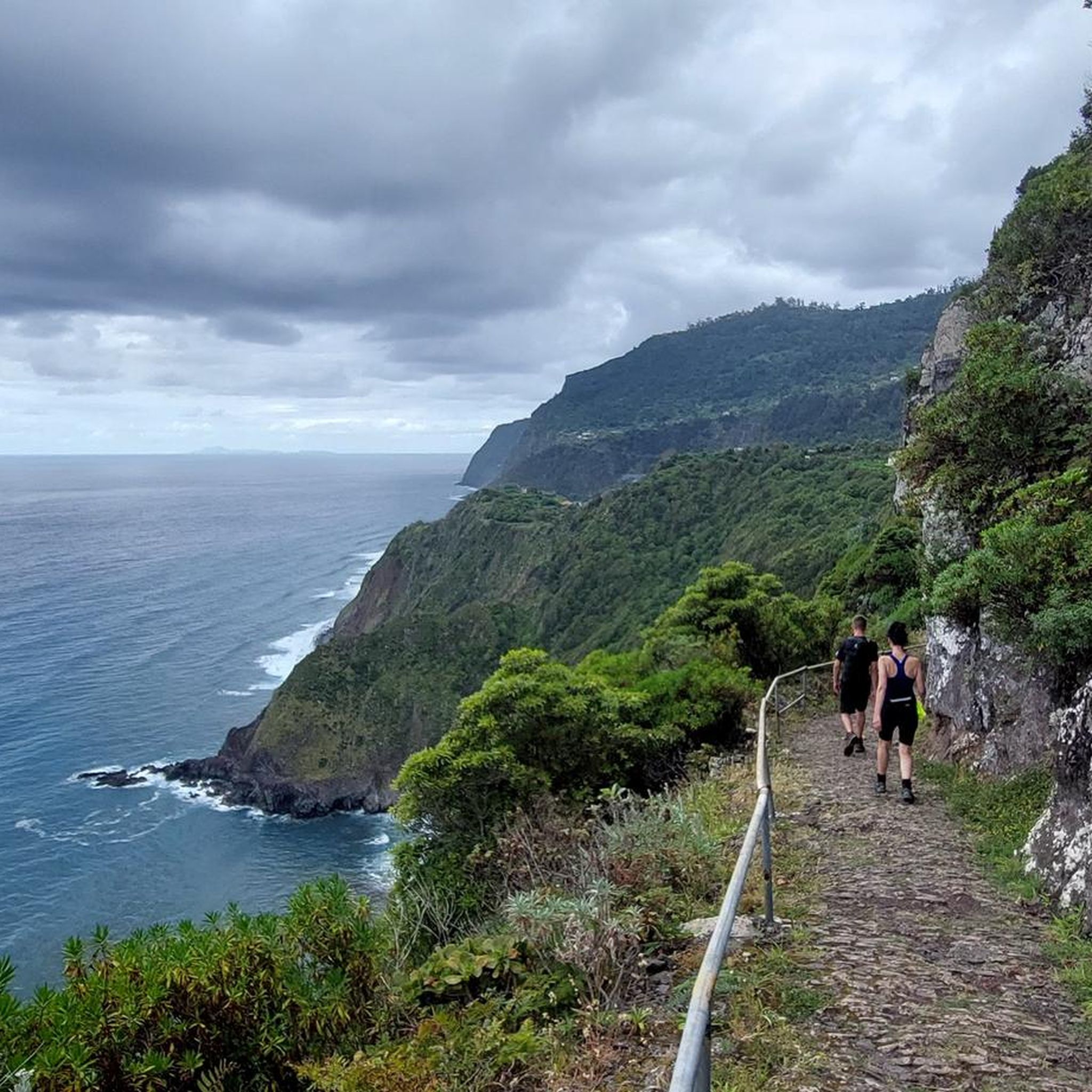
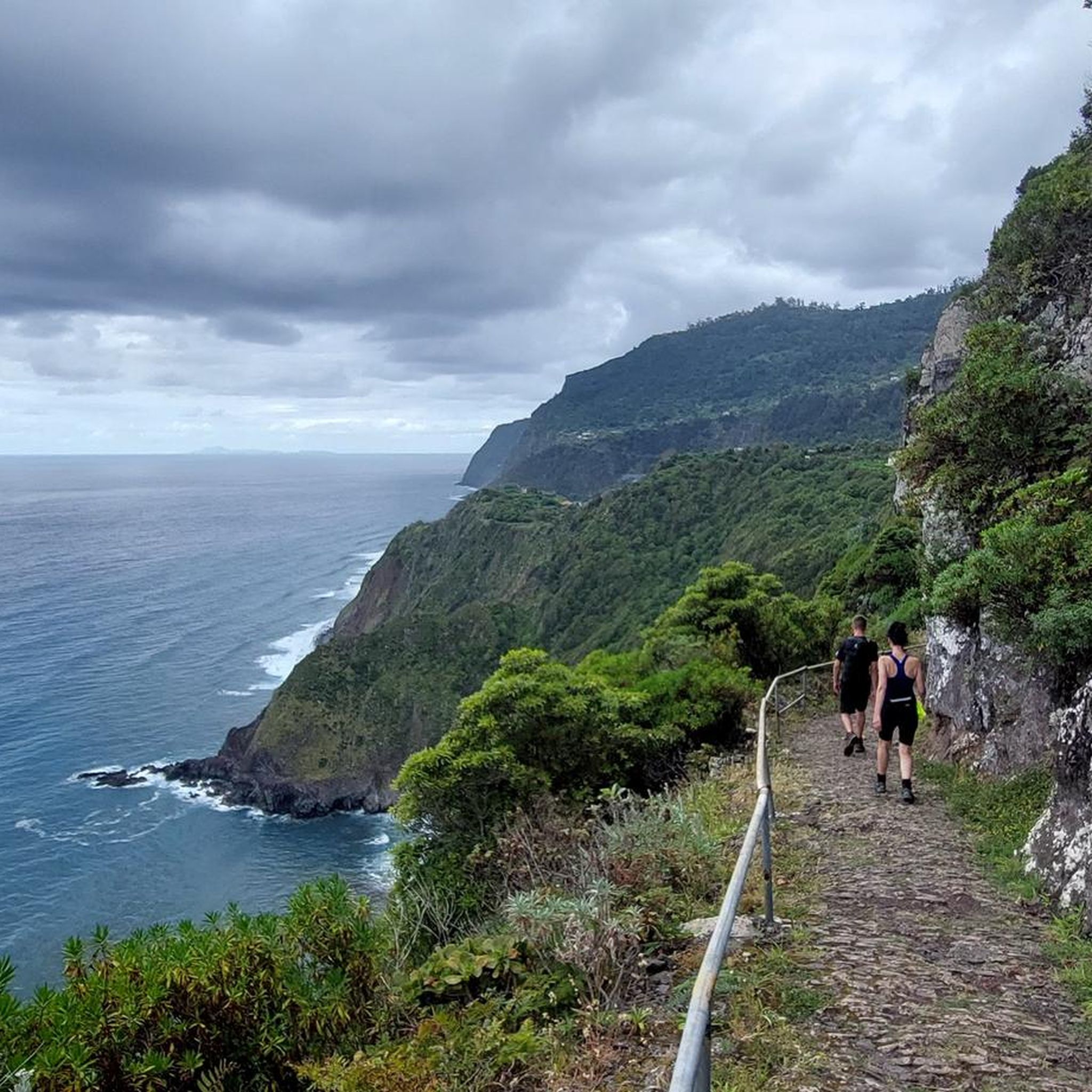
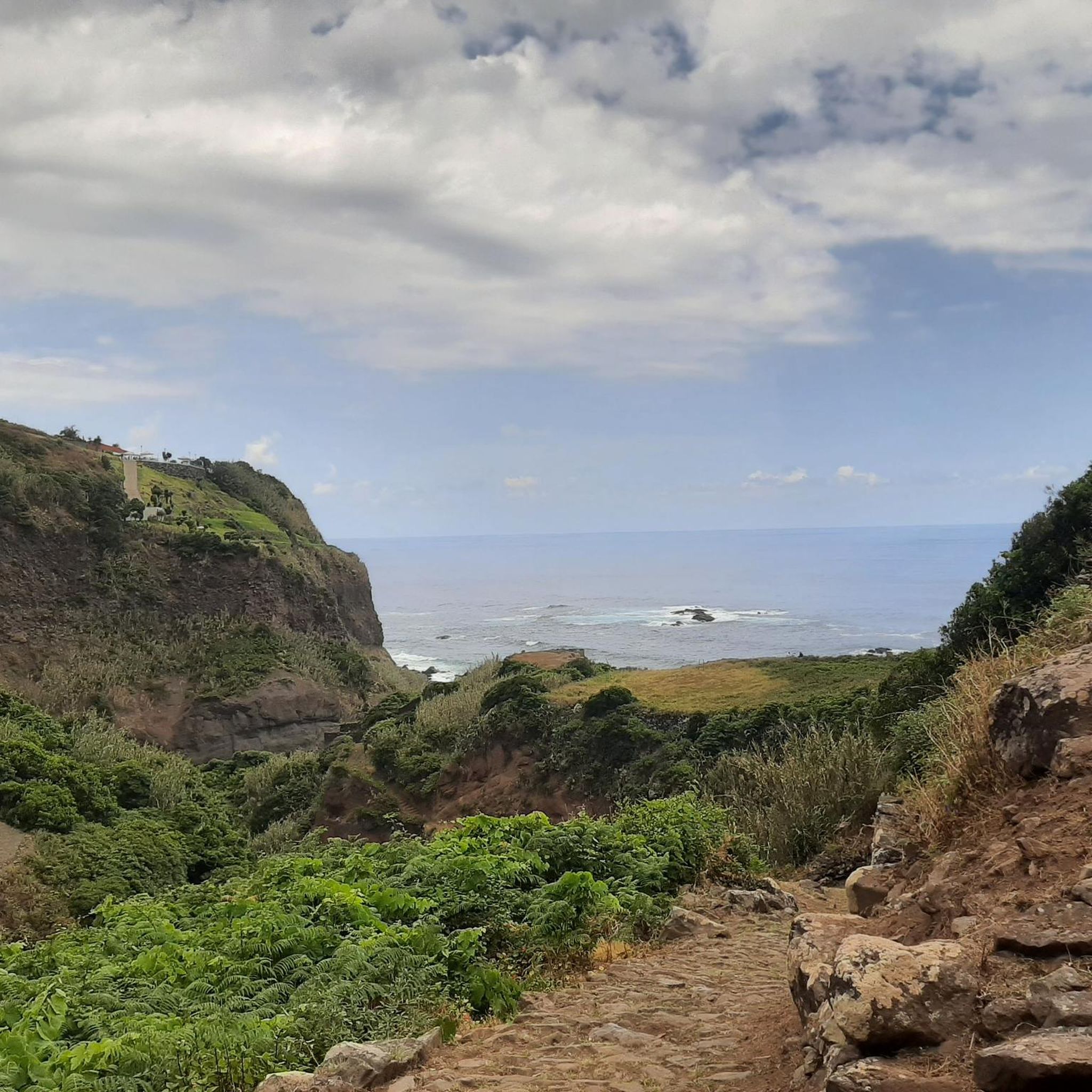
Tips from the Community

Not for people afraid of the dark and confined spaces. Light is very important! Best to bring a flashlight!
0
0

February 26, south entrance: 20cm ice cold water. Danger of life due to numb feet!
0
0

January 2026: The tunnel carries too much water and is impassable without rubber boots.
0
0

Breathtaking views from the hiking trail. Fortunately, ropes are attached to the boundary posts, which many hikers gladly use. Whether going uphill or downhill, they simply provide a sense of security.
7
0
This viewpoint is also worth seeing for sunrise. However, the path from the parking lot at Rio Arieiro to the start of the Ninho da Manta trail was completely icy when we were there. It only became passable once the sun thawed the ice.
5
0

From the viewpoint overlooking Boca da Encumeada, a panorama unfolds across the lush green mountain ridges and deep valleys of the island's interior. On a clear day, you can see the mountain pass, the surrounding peaks, and often even wisps of clouds drifting across the ridge. The spot is perfect for a short break with photos, deep breaths of fresh mountain air, and a first glimpse of the rugged beauty of the central massif.
3
0
In Madeira Natural Park, you'll encounter an impressive combination of levada tunnel and waterfall: First, you hike through the cool, dark tunnel system, accompanied only by the gentle murmur of the water. At the exit, you're greeted by the thunderous roar of the waterfall as it plunges over mossy rocks into a green pool. The stark contrast between the tranquil atmosphere of the tunnel and the vibrant power of the water makes this section a true highlight of the tour.
3
0
At the PR17 tunnel exit, you step out of the darkness and directly into the sound of rushing water cascading down the valley alongside the path. The cool spray, the echoing water, and the sudden view of the green slopes create a dramatic change of mood. A short break here is worthwhile to allow your eyes and ears to adjust to the bright light and the vibrant sounds of nature.
3
0
Frequently Asked Questions
What kind of mountaineering routes can I find around Arco De São Jorge?
Arco De São Jorge offers a variety of mountaineering routes, ranging from moderate to difficult. You'll find paths leading to significant mountain peaks like Pico Ruivo and Pico do Arieiro, as well as routes that traverse dramatic coastlines and deep valleys. The region is known for its challenging ascents and panoramic views over the Atlantic Ocean and Madeira's central mountain range.
Are there any moderate mountaineering routes suitable for those looking for a less strenuous climb?
Yes, there are moderate options available. For instance, the Pico Ruivo Summit – View of Pico do Areeiro loop from Achada do Teixeira is a moderate 3.5-mile (5.6 km) trail that takes about 2 hours 10 minutes, offering views towards Pico do Areeiro from Madeira's highest peak. Another moderate option is the Levada Tunnel – View of Boca da Encumeada loop from Madeira Natural Park, which is around 6.9 miles (11.1 km) long.
What are some challenging mountaineering routes in the area?
For those seeking a challenge, the Pico do Arieiro – Ninho da Manta Viewpoint loop from Areeiro is a difficult 1.5-mile (2.5 km) path providing access to extensive mountain vistas. Another demanding option is the Pico Ruivo Summit – View of Pico do Areeiro loop from Viveiro Florestal do Pico das Pedras, an 11.2-mile (18.0 km) trail through high mountain terrain, typically taking over 7 hours to complete.
Are there any circular mountaineering routes around Arco De São Jorge?
Yes, many of the mountaineering routes in Arco De São Jorge are designed as loops, allowing you to start and end at the same point. Examples include the Pico Ruivo Summit – View of Pico do Areeiro loop from Achada do Teixeira and the Pico do Arieiro – Ninho da Manta Viewpoint loop from Areeiro, both offering a circular experience.
What are the typical durations for mountaineering trails in Arco De São Jorge?
The durations vary significantly based on the route's length and difficulty. Shorter, more challenging routes like the Pico do Arieiro – Ninho da Manta Viewpoint loop can take around 1 hour 7 minutes, while longer, difficult trails such as the Pico Ruivo Summit loop from Viveiro Florestal do Pico das Pedras can extend to over 7 hours 20 minutes. Moderate routes typically fall in between, like the Pico Ruivo Summit loop from Achada do Teixeira, which takes about 2 hours 10 minutes.
What are some scenic viewpoints to look out for on mountaineering routes?
The region is rich in spectacular viewpoints. The View of São Jorge offers extensive vistas. The Ninho da Manta Viewpoint, accessible via the Pico do Arieiro – Ninho da Manta Viewpoint loop, is particularly known for its panoramic mountain views. Many trails also offer continuous ocean vistas along the dramatic coastline.
Are there any waterfalls to see along the mountaineering routes?
Yes, the area features magnificent waterfalls cascading down cliffs. Notable waterfalls include the Caldeirão Verde Waterfall and the Waterfall in Caldeirão do Inferno Gorge. You can also find the Waterfall on Levada do Rei and the Ribeiro Bonito Waterfall in the surrounding areas.
What do other mountaineers enjoy most about the routes in Arco De São Jorge?
The mountaineering routes in Arco De São Jorge are highly rated by the komoot community, with an average score of 4.5 stars from over 50 reviews. Mountaineers often praise the dramatic landscapes, the challenging ascents, and the breathtaking panoramic views over the Atlantic Ocean and Madeira's central mountain range. The unique geological features like the fajãs and the diverse flora also add to the experience.
What are the unique natural features I might encounter while mountaineering here?
Arco De São Jorge is characterized by its dramatic landscapes, including steep cliffs, deep valleys, and unique geological formations known as 'fajãs'—flat coastal surfaces formed by volcanic activity or landslides. You'll also encounter significant mountain peaks like Pico Ruivo and Pico do Arieiro, and patches of endemic vegetation, including dragon trees.
Are there any other interesting places to explore near the mountaineering trails?
Beyond the trails, you can explore the Quinta do Arco Rosarium garden, known for its extensive collection of roses. The region also features natural swimming pools like Poça Simão Dias, offering a refreshing experience after a hike. The nearby gorges also offer unique sights, such as the Levada do Caldeirão: Pathway Between Cliffs.
Is there a less-trafficked alternative to the more popular routes?
While routes like the Pico Ruivo Summit are popular, you might consider the Levada Tunnel – View of Boca da Encumeada loop from Madeira Natural Park. This 5.7-mile (9.1 km) moderate route offers a different perspective of the region's natural beauty, including tunnels and views of Boca da Encumeada, and might provide a quieter experience compared to the highest peaks.
Most popular attractions around Arco De São Jorge

Get inspired with the komoot mobile app


Explore more
Browse the best Mountain Hikes & Routes in other regions.
