The best mountain hikes around Boa Ventura
4.8
(64)
407
hikers
10
hikes
Mountaineering routes around Boa Ventura, a village on Madeira Island's northern coast, traverse a rugged and mountainous landscape. The region is characterized by imposing mountains, deep valleys, and a dramatic coastline. Situated in a valley at approximately 250-350 meters above sea level, Boa Ventura offers access to high-altitude trails and lush Laurisilva Forest, a UNESCO World Heritage site. The terrain includes challenging ascents and descents, providing diverse experiences for mountaineers.
Best mountaineering routes around Boa Ventura
- The most popular mountaineering…
Last updated: August 27, 2026
4.9
(18)
104
hikers
9.20km
04:42
750m
760m
Hard mountaineering route. Good fitness required. Sure-footedness, sturdy shoes and alpine experience required.
4.9
(14)
106
hikers
3.97km
01:39
250m
250m
Hard mountaineering route. Great for any fitness level. Sure-footedness, sturdy shoes and alpine experience required.

Sign up for free
4.7
(9)
38
hikers
19.1km
07:48
1,300m
1,280m
Hard mountaineering route. Very good fitness required. Mostly accessible paths. Sure-footedness required.
5
hikers
13.8km
07:25
1,240m
1,250m
Hard mountaineering route. Very good fitness required. Sure-footedness, sturdy shoes and alpine experience required.
4.8
(5)
24
hikers
Moderate mountaineering route. Good fitness required. Easily-accessible paths. Suitable for all skill levels.
Get access to more routes and recommendations from other explorers.
Sign up for free
Already have an account?
Our route recommendations are based on thousands of hikes, rides, and runs completed by other people on komoot.
Start today with a free account
Your next adventure awaits.
Login or Signup
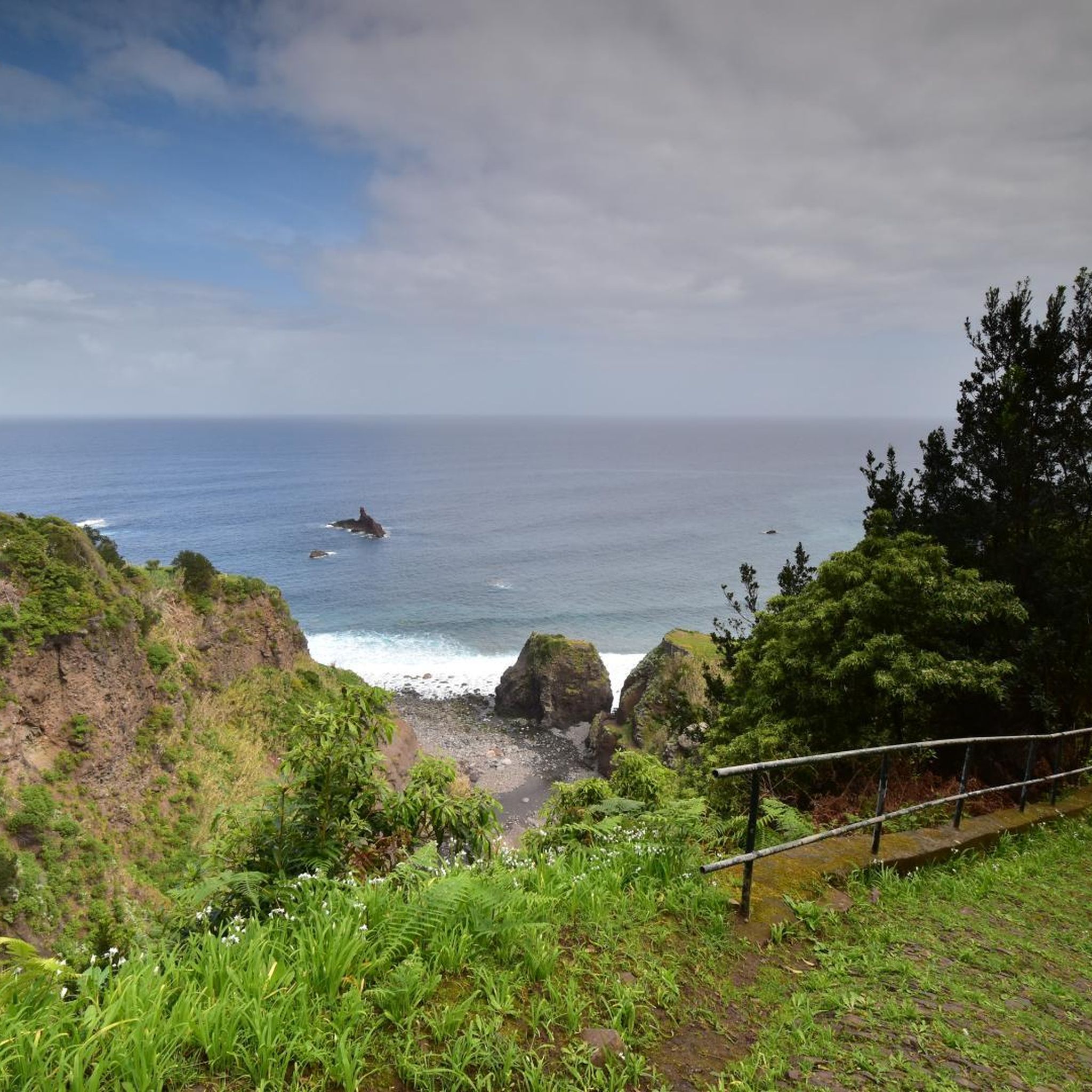
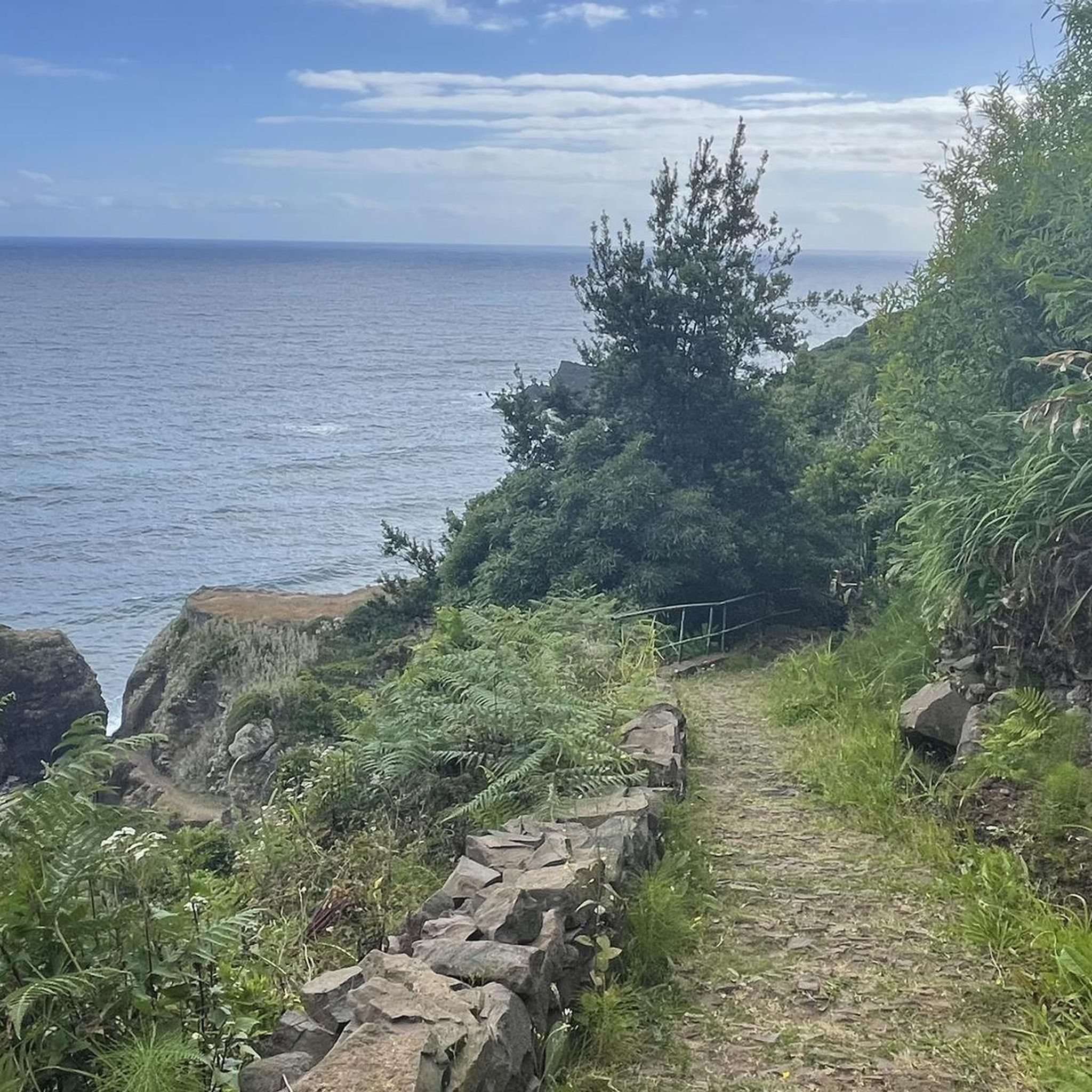
Other adventures around Boa Ventura

Tips from the Community

A good parking lot for hikes with still pleasant parking fees. You can also drive up to the summit, but there you can only park for 1 hour at double the parking fee compared
0
0

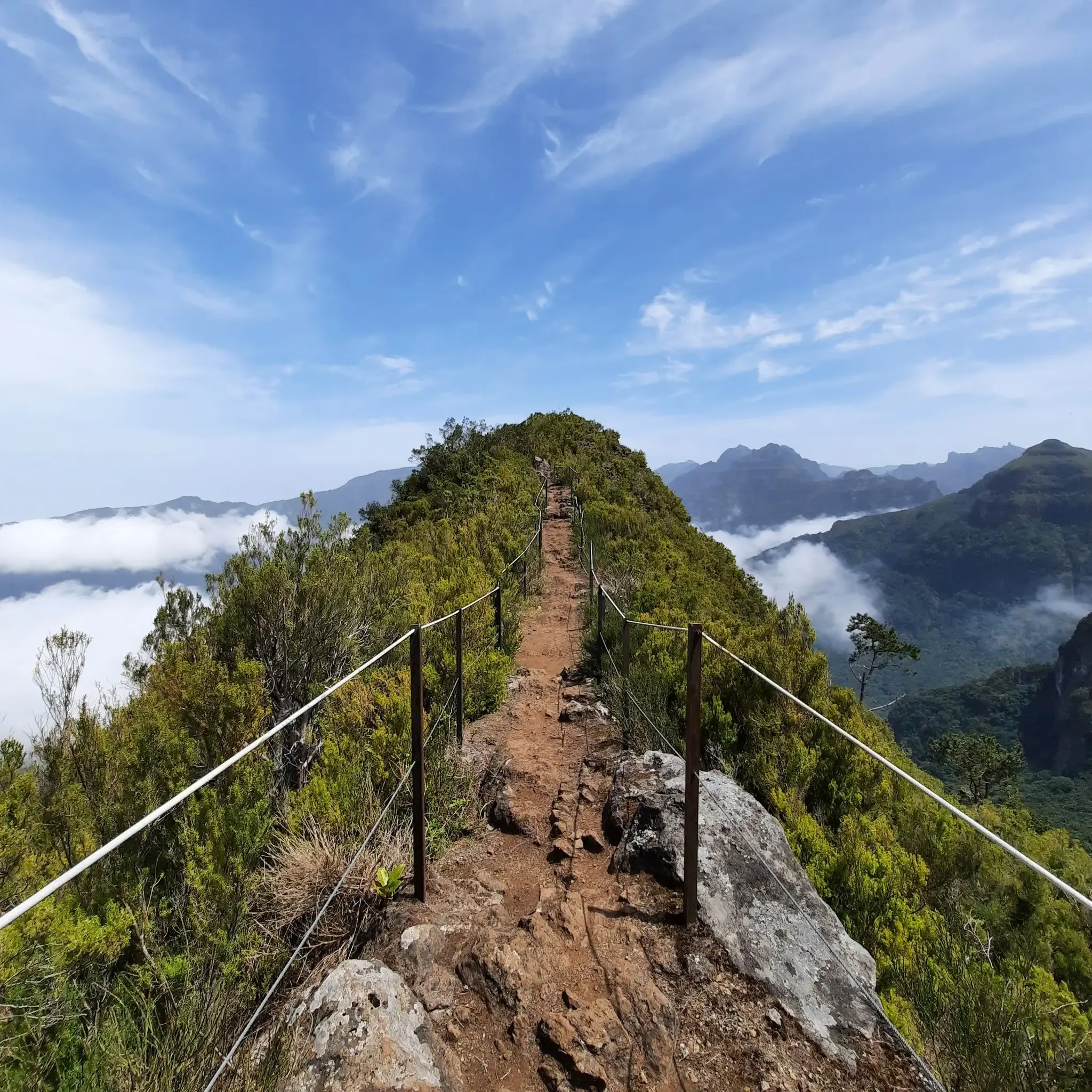
Breathtaking views from the hiking trail. Fortunately, ropes are attached to the boundary posts, which many hikers gladly use. Whether going uphill or downhill, they simply provide a sense of security.
7
0
This viewpoint is also worth seeing for sunrise. However, the path from the parking lot at Rio Arieiro to the start of the Ninho da Manta trail was completely icy when we were there. It only became passable once the sun thawed the ice.
5
0

The section of the Levada do Caldeirão trail between the cliffs leads you close to vertical walls, often offering spectacular views down into the valley. The gentle murmur of the levada accompanies you, while above you, rocks and vegetation form an almost tunnel-like effect – a true sense of adventure is guaranteed. Take care on the narrow, sometimes wet path and enjoy the unique photo opportunities along the way.
1
0
From the saddle in Madeira Natural Park, the view opens up far across rugged mountains, deep valleys, and, depending on the weather, all the way to the coast. Clouds often drift across the slopes, creating constantly changing light. It's the perfect spot for a breather, a few photos, and a long, expansive view before continuing on the trail.
1
0
The Pico Ruivo mountain hut lies just below the summit and is the perfect spot for a break in the thin mountain air. Here you can take shelter, have something to eat, refill your water bottles, and gather your strength for the final ascent. It's ideal for enjoying the view of the surrounding ridges before continuing on to Madeira's highest point.
1
0
From the viewpoint at Pico do Areeiro, you can gaze across jagged mountain ridges, deep valleys, and – on a clear day – all the way to the sea. Clouds often drift like cotton balls through the gorges below, creating dramatic lighting effects. It's the perfect spot for sunrise or sunset; be sure to pack warm layers and your camera.
4
0
From here you have a good view of the Pico do Areeiro parking lot – ideal for orientation before or after your hike. You can see exactly where the trails start and get a sense of how busy it is. It's the perfect spot to take a short break before heading back to the car or onto the trail.
1
0
Frequently Asked Questions
How many mountaineering routes are available around Boa Ventura?
There are over 10 mountaineering routes available around Boa Ventura, offering diverse experiences for different skill levels. The komoot community has explored these trails over 500 times, with routes ranging from moderate to difficult.
What kind of terrain can I expect on mountaineering routes in Boa Ventura?
Mountaineering routes in Boa Ventura traverse a rugged and mountainous landscape, characterized by imposing mountains, deep valleys, and a dramatic coastline. You can expect challenging ascents and descents, high-altitude trails, and paths through the lush Laurisilva Forest, a UNESCO World Heritage site.
Are there options for less experienced mountaineers or beginners?
While many routes are challenging, there are moderate options available. For instance, the Pico Ruivo Summit – View of Pico do Arieiro loop from Achada do Teixeira is rated as moderate and offers panoramic views from Madeira's highest peak, making it a great introduction to the region's mountaineering.
What are some of the more challenging mountaineering routes in the area?
For experienced mountaineers seeking a challenge, the Pico Ruivo Summit – View of Pico do Arieiro loop from Viveiro Florestal do Pico das Pedras is a difficult 18 km route with significant elevation gain. Another demanding option is the Pico Grande (1,654 m) – End of the Trail at Pico Grande loop from Nuns Valley, which involves sustained climbing through mountainous terrain.
Are there any routes that offer views of the dramatic coastline?
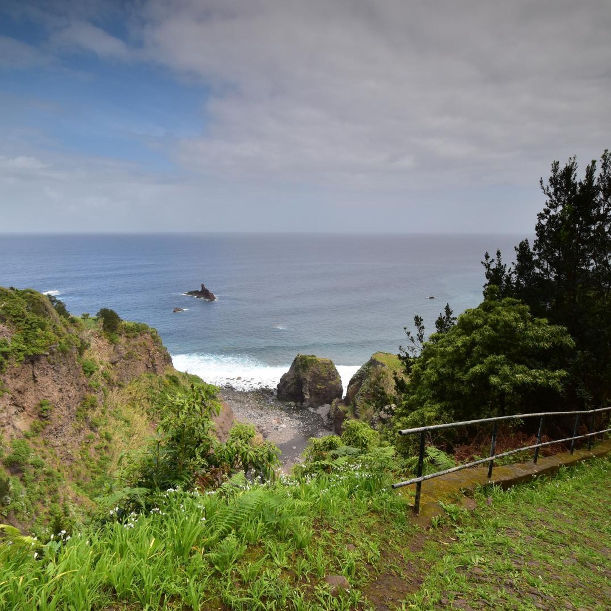
Yes, Boa Ventura is known for its spectacular cliff views and rugged north coast. While specific routes directly along the coastline aren't detailed, many high-altitude trails and viewpoints, such as Miradouro de São Cristóvão, offer breathtaking vistas over the sea and cliffs.
Can I find routes that pass through the Laurisilva Forest?
Absolutely. The Laurisilva Forest, a UNESCO World Heritage site, is a significant natural attraction in the region. Many trails, including various Levada walks, wind through this ancient, lush forest, providing a unique and immersive experience for nature lovers.
Are there any waterfalls along the mountaineering routes?
Yes, you can encounter waterfalls in the area. For example, the Waterfall on Levada Nova is a notable highlight that can be found along some of the region's trails, offering a refreshing sight amidst the natural beauty.
What are some notable viewpoints or landmarks to look out for?
The region is rich with stunning viewpoints and landmarks. You can aim for the Pico Ruivo Summit for panoramic views, or visit the Ninho da Manta Viewpoint. Other interesting features include Cabeça do Urso and the View of Boca do Encumeada Pass.
Are there any circular mountaineering routes in Boa Ventura?
Yes, there are several circular routes available. A popular choice is the difficult Mountaineering loop from Boca da Corrida, which covers 7.5 km. Another option is the Pico do Arieiro – Ninho da Manta Viewpoint loop from Areeiro, a 3.7 km difficult trail through high-altitude ridges.
What do other mountaineers enjoy the most about mountaineering in Boa Ventura?
The area is highly rated by the komoot community, with an average score of 4.8 stars from over 90 reviews. Mountaineers frequently praise the breathtaking views from Madeira's highest peaks, the challenging and diverse terrain, and the immersive experience of hiking through the ancient Laurisilva Forest.
What is the best season for mountaineering in Boa Ventura?
Madeira generally offers good hiking conditions year-round due to its mild climate. However, for mountaineering, spring and autumn often provide the most pleasant temperatures and stable weather. Winter can bring more challenging conditions at higher altitudes, including potential for rain or stronger winds, so always check local forecasts.
Are there any specific permits required for mountaineering in Boa Ventura?
Generally, no specific permits are required for most public hiking trails in Madeira, including those around Boa Ventura. However, it's always advisable to check for any local regulations or temporary closures, especially for protected areas or during adverse weather conditions.
Is parking available near the trailheads?
Parking availability varies by trailhead. Many popular starting points for routes, especially those leading to major peaks or levadas, typically have designated parking areas. It's recommended to research specific route starting points for detailed parking information before your trip.
Most popular attractions around Boa Ventura

Get inspired with the komoot mobile app


Explore more
Browse the best Mountain Hikes & Routes in other regions.
