The best running trails around Santa Maria De Marvão
4.5
(8)
124
runners
37
runs
Jogging routes around Santa Maria De Marvão are set within the Serra de São Mamede Natural Park, offering a diverse environment for runners. The region is characterized by its elevated position on a granite cliff, providing extensive views across the Alentejo. Trails vary from paths with minimal elevation gain to more challenging routes featuring significant ascents and varied terrain, including river valleys and historical sites.
Best jogging routes around Santa Maria De Marvão
- The most popular jogging route is 16th…
Last updated: August 21, 2026
15
runners
Hard run. Very good fitness required. Mostly paved surfaces. Suitable for all skill levels.
4.7
(3)
5
runners
7.27km
00:46
80m
80m
Moderate run. Good fitness required. Mostly paved surfaces. Suitable for all skill levels.

Sign up for free
5
runners
8.46km
00:59
200m
200m
Moderate run. Good fitness required. Mostly accessible paths. Some sure footedness required.
7
runners
Hard run. Very good fitness required. Mostly paved surfaces. Suitable for all skill levels.
3
runners
9.82km
01:04
160m
160m
Moderate run. Good fitness required. Mostly paved surfaces. Suitable for all skill levels.
Get access to more routes and recommendations from other explorers.
Sign up for free
Already have an account?
Our route recommendations are based on thousands of hikes, rides, and runs completed by other people on komoot.
Start today with a free account
Your next adventure awaits.
Login or Signup
Tips from the Community

The current pillory dates from the years immediately following the granting of the New Charter by King Manuel in 1512 and reflects his Manueline, albeit very rustic, style. The monument stands in front of the 16th-century district jail building and next to the clock tower, also from the 16th century, in the square that bears his name. It stands on a base with four octagonal steps and consists of an octagonal shaft set directly into the upper step, formed by five drums with mortar joints.
3
0
An old, stone-paved road leads from Portagem through cork oak forests up to Marvão. A strenuous journey in summer. The scenery is breathtaking.
1
0
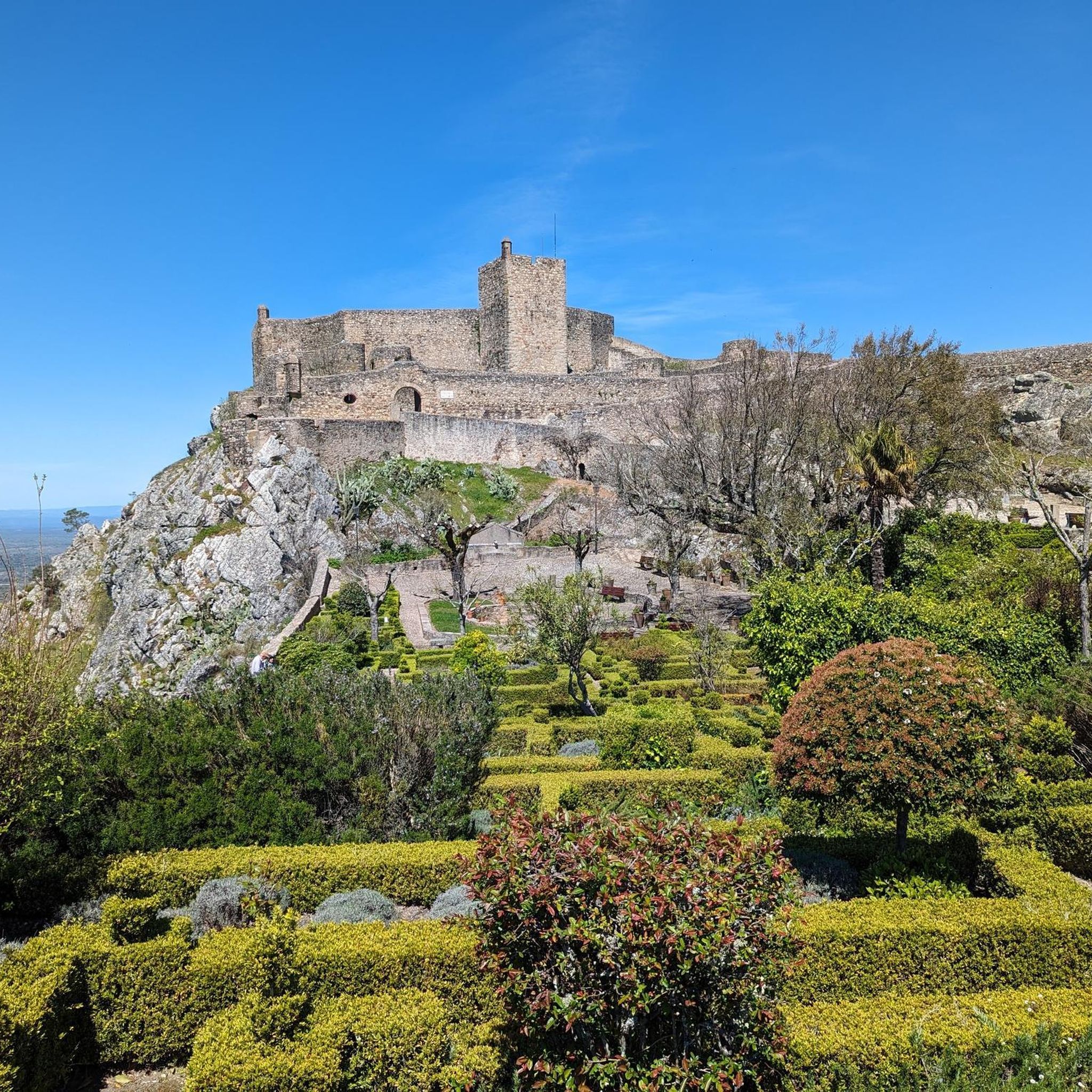
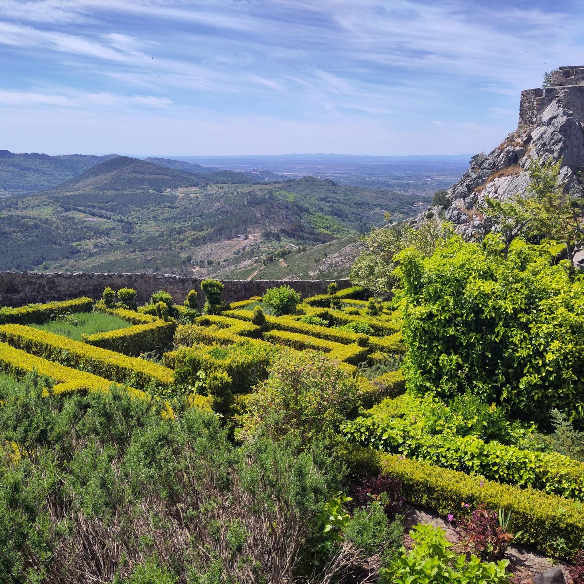
The fortified town of Marvão, 12 kilometers from Quinta do Pomarinho, is also known as the "Eagle's Nest." It boasts a spectacular location on a granite cliff, atop one of the peaks of the Serra de São de Mamede mountain range. Completely walled, Marvão is situated in the Alto Alentejo region, near the Spanish border, which was once controlled from the village. The town of Marvão owes its name to Ibn Maruane, an Arab military leader who sought refuge here in the 11th century. He hid on Mount Ammaia and built a castle there, in the most remote and inaccessible spot he could find. Years later, the castle was transformed into a medieval fortress. Its location made it a strategic defensive position, nestled among hills with slopes to the north, south, and west, accessible only on foot from the village. For many years, Marvão was a municipality heavily and significantly involved in numerous military conflicts in the region. Today, Marvão is a rather sleepy town, but one where you can enjoy wonderful walks. More information can be found here: https://www.feriasemportugal.com/marvao
3
0

Here, you cycle on a narrow path surrounded by vegetation, riding right along the riverbanks.
0
0

In Beirã you can find an old train station and railway and can experience the Rail Bike Marvão: info on https://www.railbikemarvao.com
0
0

Another century-old sidewalk around Marvão.
0
0

Roman footpath. Much uneven. Wear good walking shoes.
1
1
It's a hard climb up to Marvao and our route took us us v steep cobbles. Fine on mountain bike but hard on fully laden tandem. The main road will also get you there. Either way views from Marvao and the town itself are fabulous!
2
0
Frequently Asked Questions
How many running routes are available in Santa Maria De Marvão?
There are over 30 dedicated running routes around Santa Maria De Marvão, offering a diverse range of experiences within the Serra de São Mamede Natural Park. These routes cater to various fitness levels, from moderate loops to more challenging long-distance runs.
What kind of terrain and elevation can I expect on the running trails?
The terrain around Santa Maria De Marvão is quite varied. You'll encounter paths with minimal elevation gain, as well as more challenging routes featuring significant ascents. The region is characterized by its elevated position on a granite cliff, offering extensive views, and trails often pass through river valleys and past granite outcrops. For example, the 16th century bridge of Portagem – Marvão Walled Town and Castle loop includes a substantial elevation gain of over 700 meters.
Are there any family-friendly running routes in Santa Maria De Marvão?
While many routes offer a good workout, some are more suitable for families looking for a less strenuous run. Shorter, moderate loops like the Apartadura Reservoir loop from Serra de São Mamede Nature Park, which is about 5.8 km, provide a pleasant experience through the natural park without excessive difficulty. Always check the route details for distance and elevation to ensure it suits your family's needs.
Can I bring my dog on the running trails around Santa Maria De Marvão?
Many of the natural trails within the Serra de São Mamede Natural Park are generally dog-friendly, but it's always advisable to keep your dog on a leash, especially in areas with wildlife or near livestock. Ensure your dog is well-behaved and that you carry waste bags. Always check specific trail regulations if posted.
What historical landmarks or natural features can I see while running?
Running in Santa Maria De Marvão offers a blend of natural beauty and historical sites. You can pass by the well-preserved Marvão Castle, explore the Historic Village of Marvão with its medieval walls, or cross the 16th-century Bridge of Portagem. Natural features include the River Sever and the diverse landscapes of the Serra de São Mamede Natural Park, characterized by cork oaks, chestnut trees, and granite formations.
Are there circular running routes available?
Yes, many of the running routes in Santa Maria De Marvão are circular, allowing you to start and end at the same point. Popular options include the Rio Sever loop from Santa Maria de Marvão, a moderate 9.8 km path, and the Beirã loop from Bica, which is about 7.2 km.
What is the best time of year for running in Santa Maria De Marvão?
The region offers good running conditions for much of the year. Spring and autumn generally provide the most pleasant temperatures for outdoor activities. Summers can be hot, especially at midday, so early morning or late afternoon runs are recommended. Winters are milder but can be wet.
Where can I find parking near the running routes?
Parking is generally available in and around the main villages and starting points for many routes. For example, you can often find parking near the historic center of Marvão or in areas like Portagem, which serves as a starting point for longer loops. Specific parking details may vary by route, so it's good to check local signage.
Are there any easy running routes for beginners?
While there are no routes classified as 'easy' in the guide, several moderate routes are suitable for beginners with a reasonable fitness level. The Apartadura Reservoir loop from Serra de São Mamede Nature Park is one of the shorter moderate options, at just under 6 km, offering a good introduction to running in the area.
What do other runners enjoy most about jogging in Santa Maria De Marvão?
The running routes in Santa Maria De Marvão are highly rated by the komoot community, with an average score of 4.7 stars. Reviewers often praise the stunning panoramic views from the elevated village, the diverse natural landscapes of the Serra de São Mamede Natural Park, and the opportunity to combine a workout with exploring historical sites like Marvão Castle.
Can I access the running trails using public transport?
Public transport options to Santa Maria De Marvão and its surrounding areas can be limited, especially for reaching specific trailheads. It's often more convenient to have a car to access the various starting points for the running routes. However, some routes might be accessible from central points within villages that have bus connections.
Are there places to get refreshments or food near the running trails?
Yes, the historic village of Marvão itself offers several cafes and restaurants where you can refuel after your run. Additionally, towns like Portagem, often a starting point for longer routes, also have amenities. It's a good idea to carry water, especially on longer routes or during warmer months, as services might not be directly on the trails.
Most popular attractions around Santa Maria De Marvão

Get inspired with the komoot mobile app


Explore more
Browse the best Running Trails & Routes in other regions.
