The best MTB trails around Santo António Das Areias
5.0
(9)
85
riders
18
rides
Mountain biking around Santo António Das Areias offers diverse terrain within the Parque Natural da Serra de São Mamede. The region is characterized by rolling hills, dense woodlands, and open landscapes, providing varied conditions for mountain bikers. Trails often navigate through natural park environments, featuring a mix of ascents and descents. The area's geography supports a range of mountain bike trails suitable for different skill levels.
Best mountain bike trails around Santo António Das Areias
- The most popular mountain bike…
Last updated: July 7, 2026
5.0
(1)
3
riders
This moderate 15.8-mile (25.5 km) mountain bike loop from Santo António das Areias offers 1607 feet (490 metres) of elevation gain in Serra
73.7km
06:49
1,940m
1,940m
Hard mountain bike ride. Very good fitness required. Advanced riding skills necessary.

Sign up for free
95.6km
08:09
1,770m
1,770m
Hard mountain bike ride. Very good fitness required. Suitable for all skill levels.
29
riders
64.8km
06:02
1,470m
1,470m
Hard mountain bike ride. Very good fitness required. Suitable for all skill levels.
19
riders
83.6km
06:51
1,150m
1,150m
Hard mountain bike ride. Very good fitness required. Suitable for all skill levels.
Get access to more routes and recommendations from other explorers.
Sign up for free
Already have an account?
Our route recommendations are based on thousands of hikes, rides, and runs completed by other people on komoot.
Start today with a free account
Your next adventure awaits.
Login or Signup

Tips from the Community

Castelo de Vide is a charming Portuguese medieval village located in the district of Portalegre, in the Alentejo region, perched on the hills of the Serra de São Mamede Natural Park. Nicknamed the "Sintra of Alentejo" for its flowery alleys and lush landscapes, this town is famous for its healing thermal waters, its intact Gothic architecture, and one of the most important historical Jewish communities in the country.
0
0

Hiking to Serra de São Mamede (1027 m), the highest point in continental Portugal south of the Tagus, offers a unique experience that combines the hardness of quartzite with the freshness of lush vegetation in the Serra de São Mamede Natural Park. The ascent rewards hikers with panoramic views that extend to the Estrela and deep into Spanish territory. For a safe and rewarding hike on this peak in Portalegre, consider the following advice: Route Planning: There are several trails leading to the summit, with the Serra de São Mamede Walking Route (PR1 PTG) being one of the most popular. The path is often rocky and steep, requiring footwear with good traction and ankle support. Water and Energy Management: The physical exertion and sun exposure, especially in the higher, unprotected areas, require you to carry sufficient water (at least 1.5L) and energy snacks. There are no reliable supply points during the ascent. Pay Attention to the Weather: The weather in the mountains can change rapidly. Even if it is sunny in the city, the summit may be shrouded in fog or strong winds. Always check the local forecast before setting off and bring a windbreaker or warm clothing. Sun Protection: Due to the altitude and sparser vegetation on the summit, UV radiation is more intense. Use sunscreen and a hat, even on cloudy days.
0
0

A place to visit every month. It's wonderful.
2
0

Imposing building in which the Centro de Dia senior center is located
2
0
The current pillory dates from the years immediately following the granting of the New Charter by King Manuel in 1512 and reflects his Manueline, albeit very rustic, style. The monument stands in front of the 16th-century district jail building and next to the clock tower, also from the 16th century, in the square that bears his name. It stands on a base with four octagonal steps and consists of an octagonal shaft set directly into the upper step, formed by five drums with mortar joints.
2
0
The fortified town of Marvão, 12 kilometers from Quinta do Pomarinho, is also known as the "Eagle's Nest." It boasts a spectacular location on a granite cliff, atop one of the peaks of the Serra de São de Mamede mountain range. Completely walled, Marvão is situated in the Alto Alentejo region, near the Spanish border, which was once controlled from the village. The town of Marvão owes its name to Ibn Maruane, an Arab military leader who sought refuge here in the 11th century. He hid on Mount Ammaia and built a castle there, in the most remote and inaccessible spot he could find. Years later, the castle was transformed into a medieval fortress. Its location made it a strategic defensive position, nestled among hills with slopes to the north, south, and west, accessible only on foot from the village. For many years, Marvão was a municipality heavily and significantly involved in numerous military conflicts in the region. Today, Marvão is a rather sleepy town, but one where you can enjoy wonderful walks. More information can be found here: https://www.feriasemportugal.com/marvao
3
0

The chafurdão is a traditional dry-stone shelter with a false dome, typical of the region’s vernacular heritage. Though most surviving examples are recent (the oldest dated to 1733), they follow ancient construction techniques. Oriented toward sunrise, these structures include ventilation and lighting through wall openings. Built for temporary use by farmers and shepherds, they often have walled pens and a compact earth-covered roof stabilized by stone capping.
0
0

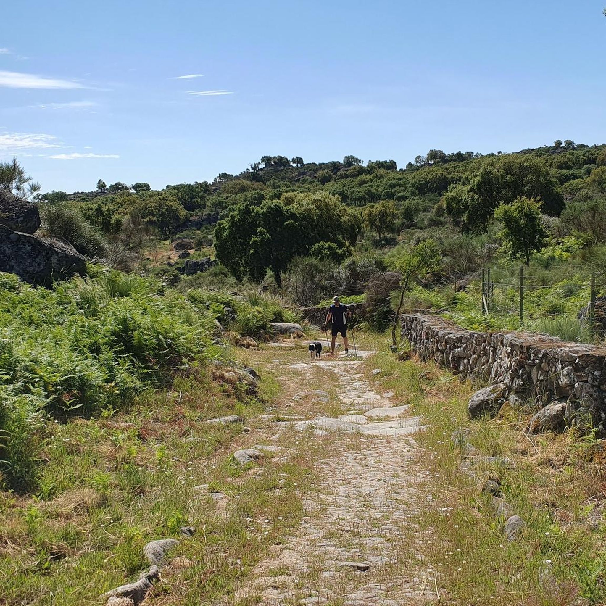
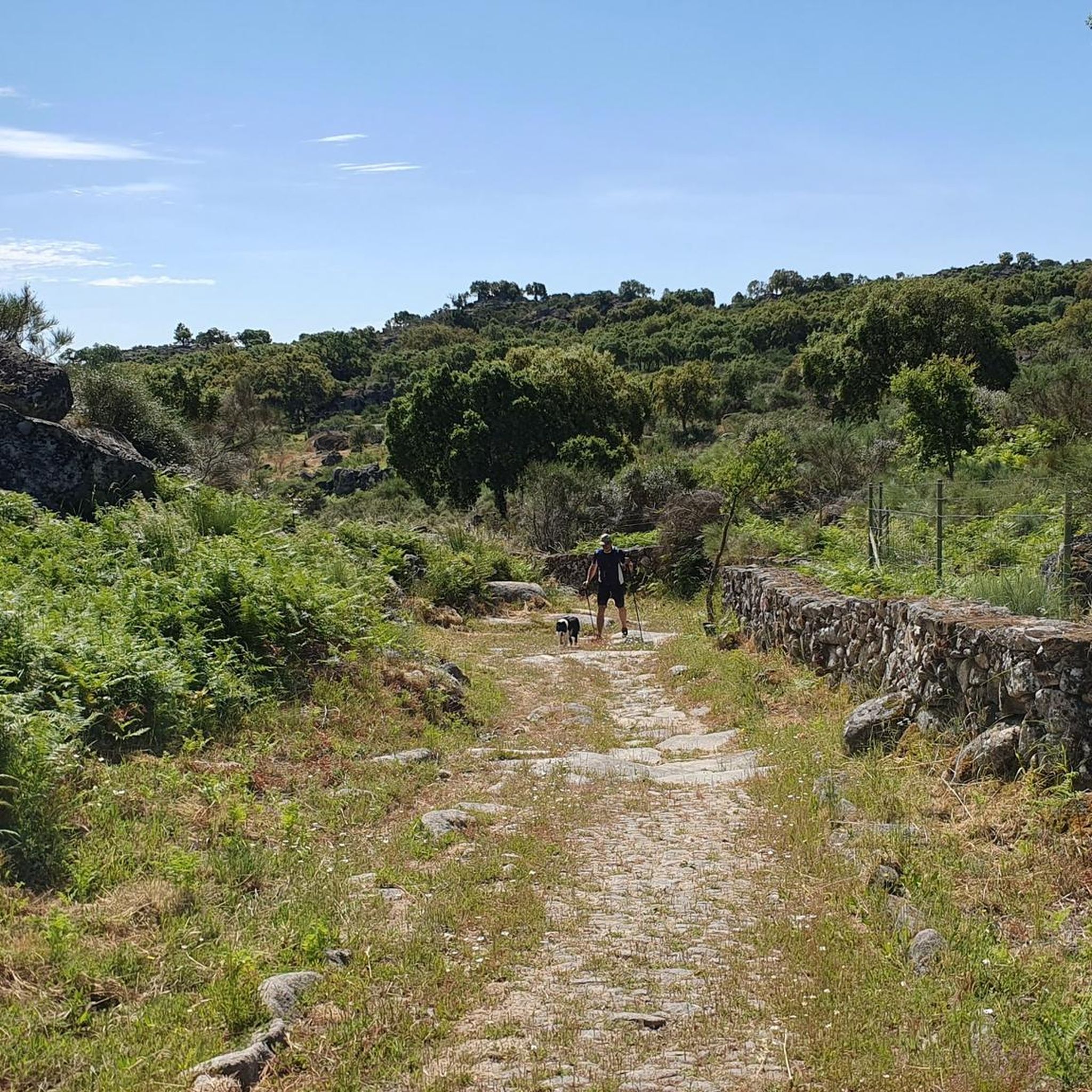
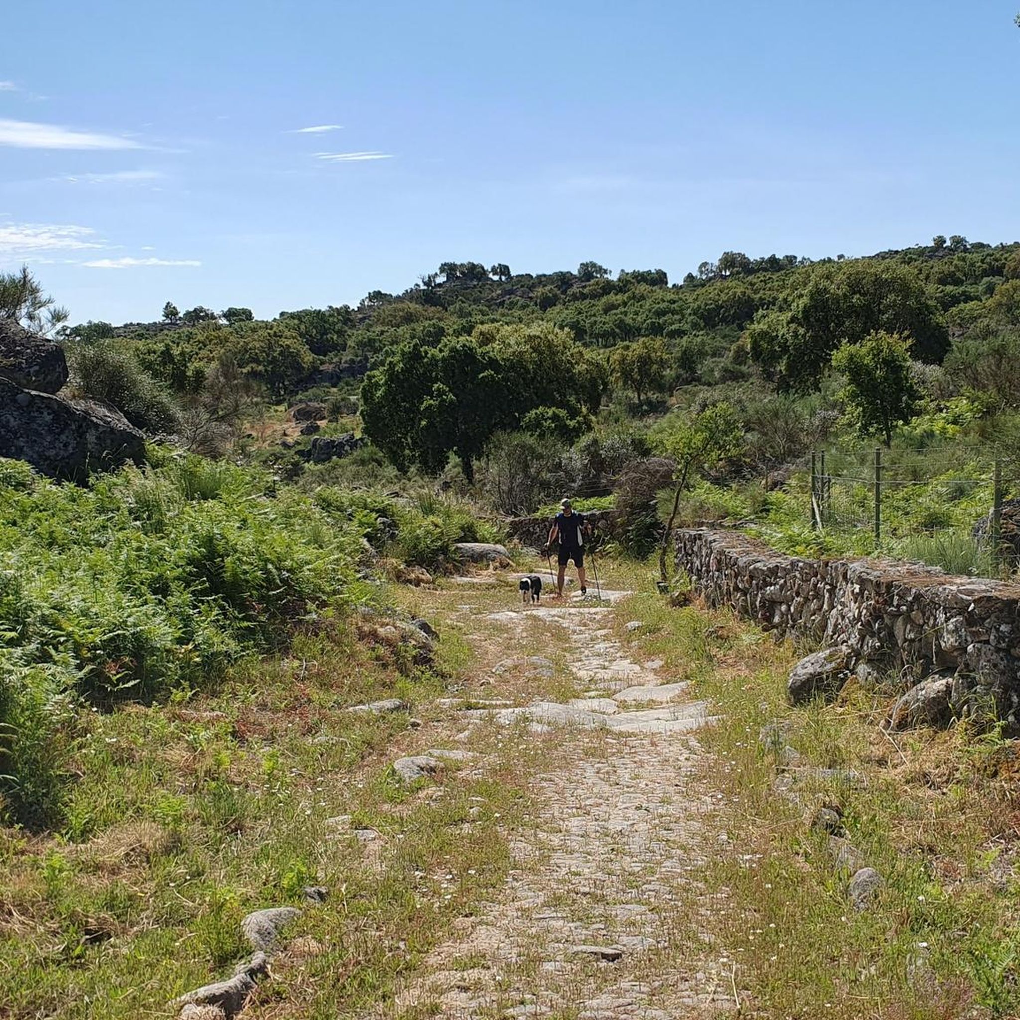
Here, you cycle on a cobbled road whose origins date back to the medieval era.
0
0
Frequently Asked Questions
How many mountain bike trails are there around Santo António Das Areias?
There are over a dozen mountain bike trails available around Santo António Das Areias, offering a variety of experiences within the Parque Natural da Serra de São Mamede.
Are there easy mountain bike trails suitable for beginners in Santo António Das Areias?
Yes, the region offers 5 easy mountain bike trails perfect for beginners or those looking for a more relaxed ride. These routes typically feature less challenging terrain and elevation changes.
What kind of terrain can I expect on mountain bike trails in Santo António Das Areias?
Mountain bike trails in Santo António Das Areias are characterized by diverse terrain, including rolling hills, dense woodlands, and open landscapes within the Parque Natural da Serra de São Mamede. You'll encounter a mix of ascents and descents.
Are there any advanced mountain bike routes for experienced riders?
Yes, for experienced riders seeking a challenge, there are 5 difficult mountain bike routes. One such route is the Santo António Viewpoint – São Mamede Spring loop from Castelo de Vide, which covers 42.1 miles (67.8 km) with significant elevation gain.
What do other mountain bikers enjoy most about the trails in Santo António Das Areias?
The area is highly rated by the komoot community, with an average score of 5.0 stars. Mountain bikers often praise the varied landscape, the challenging hilly terrain, and the opportunity to explore the natural park environments.
Are there circular mountain bike trails available?
Yes, many routes in the area are circular, allowing you to start and end in the same location. An example is the Loop tour from Santo António das Areias — Parque Natural da Serra de São Mamede, a 15.8-mile (25.5 km) route.
What is the best time of year for mountain biking in Santo António Das Areias?
The best times for mountain biking in Santo António Das Areias are typically spring (April-May) and autumn (September-October). During these seasons, the weather is generally mild and pleasant, avoiding the intense heat of summer and the potentially wetter, cooler conditions of winter.
What interesting landmarks or attractions can I see along the mountain bike trails?
While mountain biking, you can encounter several notable landmarks. Consider routes that pass near the historic Marvão Castle or the ancient Menir da Meada. The Alto de São Mamede Summit (1,025 m) also offers panoramic views.
Are there any routes that connect historic towns?
Yes, some routes connect historic towns, offering a blend of natural beauty and cultural exploration. The Loop from Castelo de Vide to Marvão — Parque Natural da Serra de São Mamede is a challenging 45.8-mile (73.7 km) path that links these two historic locations.
Can I find mountain bike trails that pass by water features?
Yes, you can find routes that include water features. For example, the Ring route from Castelo de Vide to Albufeira de Póvoa e Meadas — São Mamede leads through natural park landscapes and past the Albufeira de Póvoa e Meadas reservoir.
What is the typical duration for mountain bike trails in this area?
Trail durations vary significantly based on distance and difficulty. Easy routes might take a couple of hours, while more challenging and longer routes, such as the 59.4-mile (95.6 km) Ring route from Castelo de Vide to Albufeira de Póvoa e Meadas — São Mamede, can take around 8 hours 10 minutes to complete.
Most popular routes around Santo António Das Areias
Most popular attractions around Santo António Das Areias

Get inspired with the komoot mobile app


Explore more
Browse the best MTB trails in other regions.
