The best walks and hikes around Montalvão
4.7
(22)
74
hikers
4
hikes
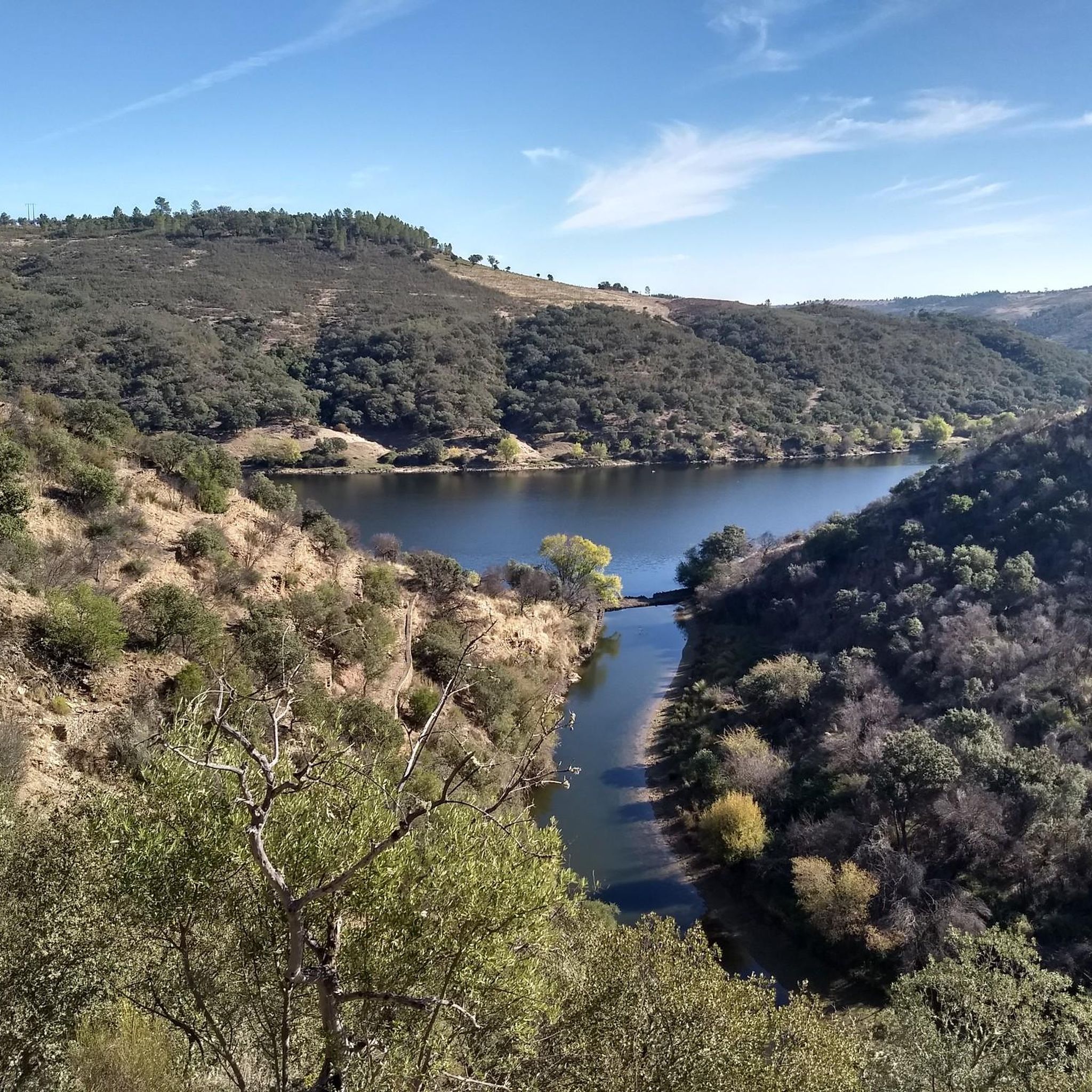
Hiking around Montalvão offers diverse landscapes and historical features. The region is characterized by rolling hills, pine and eucalyptus forests, and significant river valleys, including the Sever and Tagus. Trails often pass by remnants of Roman gold mines and historical structures like the Montalvão castle. This varied terrain provides a range of outdoor experiences for different fitness levels.
Best hiking trails around Montalvão
- The most popular hiking route is PR4 Conhal Trails, a moderate 6.8 miles (10.9 km) trail…
Last updated: August 18, 2026
4.5
(6)
13
hikers
10.9km
03:09
260m
250m
Moderate hike. Good fitness required. Easily-accessible paths. Suitable for all skill levels.
4.5
(11)
39
hikers
10.7km
03:14
360m
360m
Moderate hike. Good fitness required. Easily-accessible paths. Suitable for all skill levels.

Sign up for free
4.8
(4)
20
hikers
7.96km
02:16
170m
170m
Moderate hike. Good fitness required. Easily-accessible paths. Suitable for all skill levels.
3
hikers
4.21km
01:08
50m
50m
Easy hike. Great for any fitness level. Easily-accessible paths. Suitable for all skill levels.
Our route recommendations are based on thousands of hikes, rides, and runs completed by other people on komoot.
Start today with a free account
Your next adventure awaits.
Login or Signup
Popular around Montalvão

Tips from the Community

Many griffon vultures
0
0

The Conhal Interpretive Center is a fascinating place located in the Naturtejo Geopark, in the municipality of Nisa, in Portugal. Location: The Conhal Interpretive Center is located in the village of Arneiro, close to the Conhal Interpretive Center. The address is Rua da Escola Primária, 6050-452 Nisa. You can contact them by phone: +351 245 098 059 or by email: geral@cm-nisa.pt. Opening Hours: The center is temporarily closed due to the COVID-19 situation. When open, the hours are as follows: Wednesday to Friday: 9am to 1pm Saturdays and Sundays: from 9am to 12:30pm and from 2pm to 5:30pm The center is closed on Mondays and Tuesdays and also on the following holidays: 25/12, 01/01, Monday after Easter (Municipal Holiday) and 01/05. The Conhal Interpretive Center offers a unique opportunity to learn about the rich geological, cultural and natural history of the region.
3
0
The Serrinha geodesic landmark is located in Serra da Melriça, which is part of the Naturtejo Geopark, in the municipality of Nisa. It is one of the geodetic vertices that make up the National Geodetic Network in Continental Portugal.
3
0
Ilha do Cabecinho is located close to Foz da Ribeira do Vale and the Albufeira de Fratel reservoir. Pedestrian access via a suspension bridge.
3
0
Pego das Portas is a charming place located in the Naturtejo Geopark, in the municipality of Nisa, in Portugal, with a privileged view of the Portas de Ródão natural monument and an excellent place for birdwatching (griffins).
3
0
The Conhal do Arneiro Roman Gold Mine is a gigantic mine that resulted from the gravitational dismantling of sedimentary deposits in the Tagus Valley by hydraulic action.
1
0
Frequently Asked Questions
How many hiking trails are available around Montalvão?
There are currently 4 hiking routes documented around Montalvão on komoot, offering a variety of experiences from easy walks to moderate climbs. These trails are highly rated by the komoot community, with an average score of 4.8 stars.
Are there any easy hiking trails suitable for beginners in Montalvão?
Yes, there is at least one easy route available. The Hiking loop from Vila Velha de Ródão is an easy 4.3 km (2.7 miles) trail that takes approximately 1 hour 10 minutes to complete, featuring minimal elevation changes.
What kind of landscapes can I expect to see while hiking in Montalvão?
Hiking in Montalvão offers diverse landscapes, including rolling hills, dense pine and eucalyptus forests, and significant river valleys. You'll encounter views of the Sever River, which forms part of the border with Spain, and expansive vistas of the Tagus River Valley. The terrain often features easily accessible paths, though some routes include moderate elevation changes.
Are there any historical sites or landmarks along the hiking trails?
Yes, the region is rich in history. Trails like the PR4 Conhal Trails pass by remnants of Roman gold mines. You can also find historical structures such as the Montalvão castle and the remains of old water mills, hinting at the region's past agricultural life. Consider visiting the Conhal Interpretive Center for more insight into the area's mining history.
Are there any circular hiking routes in Montalvão?
Yes, many of the trails around Montalvão are designed as loops. For example, the Castelo de Ródão – View of the Tagus River Valley loop from Ródão and the Ilha do Cabecinho – Pego das Portas de Ródão loop from Santana are popular circular options that allow you to start and end at the same point.
What is the best time of year to go hiking in Montalvão?
Montalvão offers pleasant hiking conditions for much of the year. Spring (March to May) is ideal for enjoying wildflowers and milder temperatures. Autumn (September to November) also provides comfortable weather and beautiful scenery. Summers can be hot, so early morning or late afternoon hikes are recommended, while winters are generally mild but can be wet.
What are some notable natural attractions or viewpoints to look out for?
Hikers can enjoy expansive views of the Tagus River Valley, particularly from routes around Castelo de Ródão. The Sever River offers quiet, peaceful stretches. You might also spot various wildflowers, including different species of Cistus, and even storks in the village. The Pego das Portas de Ródão is a significant natural monument worth visiting.
Are the hiking trails in Montalvão suitable for families with children?
While specific family-friendly trails are not explicitly categorized, the region offers routes of varying difficulty. The easier trails, such as the Hiking loop from Vila Velha de Ródão, are generally suitable for families. Always check the distance and elevation gain to ensure it matches your family's fitness level.
What do other hikers enjoy most about hiking in Montalvão?
The area is highly rated by the komoot community, with an average score of 4.8 stars. Reviewers often praise the diverse landscapes, the blend of natural beauty with historical intrigue (like the Roman gold mine remnants), and the scenic views of the river valleys. The well-documented routes and varied terrain are also frequently highlighted.
Is there parking available at the trailheads in Montalvão?
While specific parking information for each trailhead is not detailed, Montalvão is a village with accessible points. It is generally advisable to check local signage or use navigation apps for designated parking areas near the start of your chosen route. Many trails begin near villages or accessible points where parking can typically be found.
Can I reach the hiking trails around Montalvão using public transport?
Montalvão is a remote hilltop village. While local bus services might connect to larger towns, direct public transport to specific trailheads can be limited. It's recommended to research local bus schedules to Montalvão or nearby towns like Ródão and plan your hike accordingly, considering the walk to the trailhead from the nearest stop.
Are there any facilities or places to eat near the hiking routes?
Montalvão and nearby villages offer local amenities. While specific cafes directly on every trail are unlikely, you can find facilities in the main village areas. The Conhal Interpretive Center might offer some facilities, and local establishments in Montalvão or Vila Velha de Ródão can provide refreshments before or after your hike.
Most popular routes around Montalvão
Most popular attractions around Montalvão

Get inspired with the komoot mobile app


Explore more
Browse the best Hikes in other regions.
