The best walks and hikes around Nossa Senhora Da Graça
4.8
(21)
72
hikers
3
hikes
Hiking around Nossa Senhora Da Graça features a landscape characterized by river valleys, hills, and historical mining areas. The terrain includes paths alongside the Tagus River and routes ascending local elevations. This region offers varied natural environments, from riverine paths to more open, elevated sections. The area provides opportunities for exploring diverse natural and historical features on foot.
Best hiking trails around Nossa Senhora Da Graça
- The most popular hiking route is PR4 Conhal Trails, a 6.7 miles (10.9…
Last updated: June 24, 2026
4.5
(6)
13
hikers
10.9km
03:09
260m
250m
Hike the moderate PR4 Conhal Trails for 6.8 miles (10.9 km) through diverse landscapes and Roman gold mine remnants in Portugal.
4.5
(11)
35
hikers
10.7km
03:14
360m
360m
Moderate hike. Good fitness required. Easily-accessible paths. Suitable for all skill levels.

Sign up for free
5.0
(3)
20
hikers
7.96km
02:16
170m
170m
Moderate hike. Good fitness required. Easily-accessible paths. Suitable for all skill levels.
5.0
(1)
4
hikers
4.32km
01:10
60m
60m
Easy hike. Great for any fitness level. Easily-accessible paths. Suitable for all skill levels.
Our route recommendations are based on thousands of hikes, rides, and runs completed by other people on komoot.
Start today with a free account
Your next adventure awaits.
Login or Signup
Tips from the Community

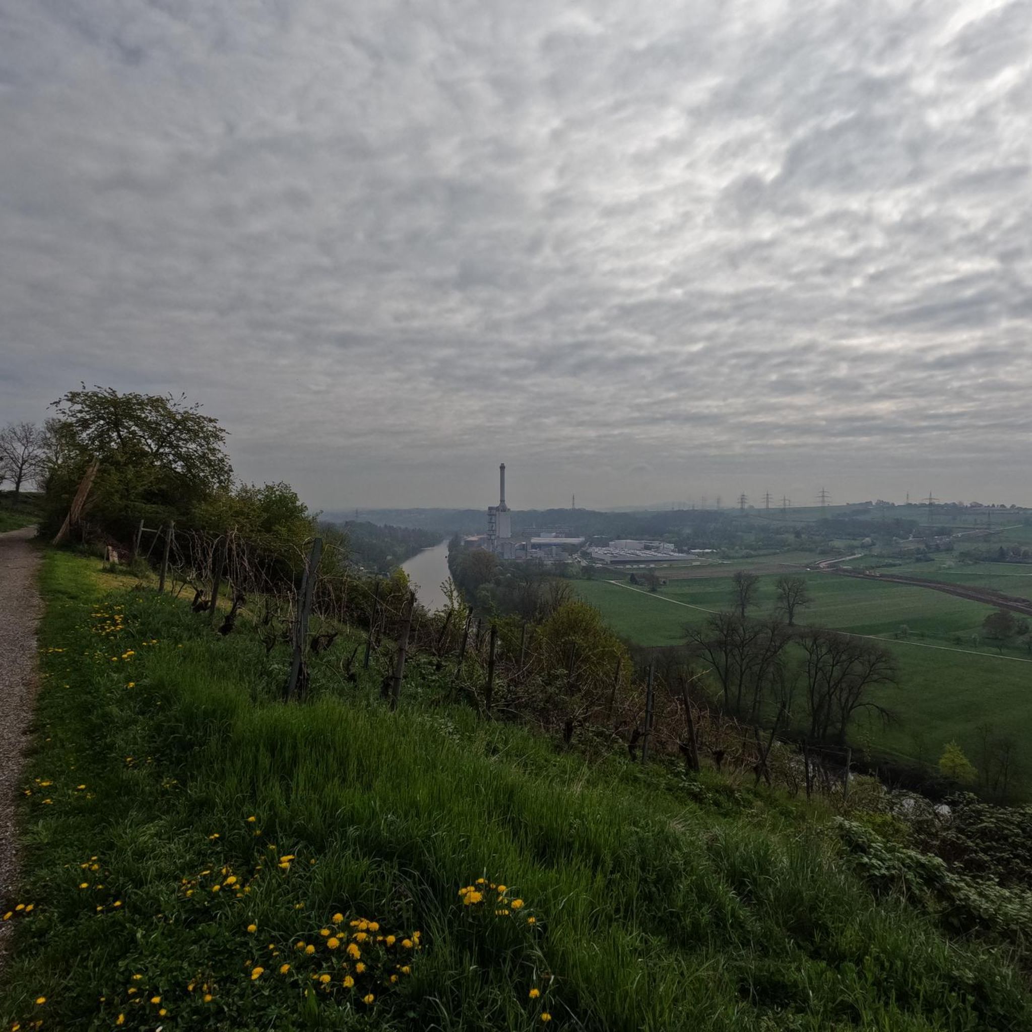
Many griffon vultures
0
0

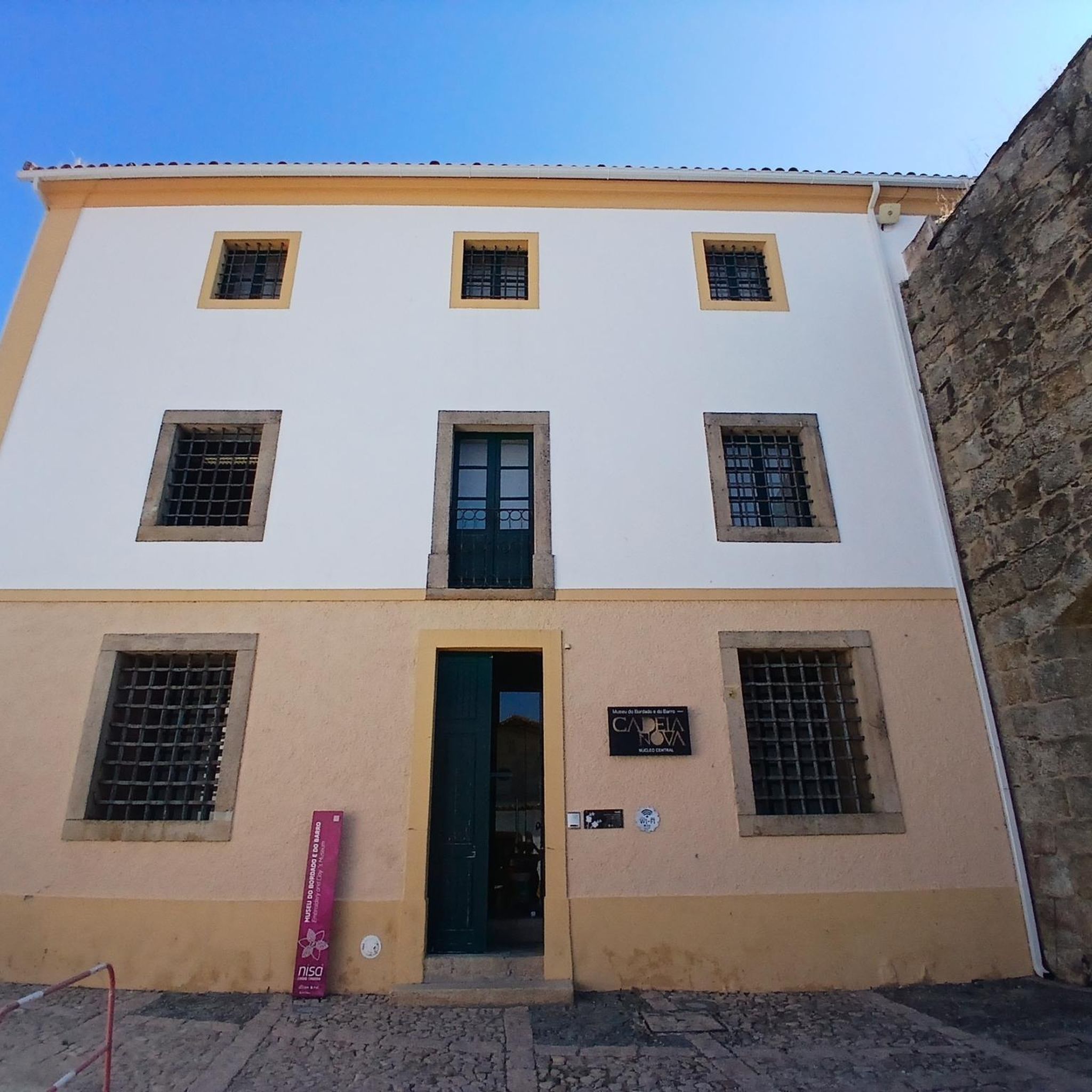
The Conhal Interpretive Center is a fascinating place located in the Naturtejo Geopark, in the municipality of Nisa, in Portugal. Location: The Conhal Interpretive Center is located in the village of Arneiro, close to the Conhal Interpretive Center. The address is Rua da Escola Primária, 6050-452 Nisa. You can contact them by phone: +351 245 098 059 or by email: geral@cm-nisa.pt. Opening Hours: The center is temporarily closed due to the COVID-19 situation. When open, the hours are as follows: Wednesday to Friday: 9am to 1pm Saturdays and Sundays: from 9am to 12:30pm and from 2pm to 5:30pm The center is closed on Mondays and Tuesdays and also on the following holidays: 25/12, 01/01, Monday after Easter (Municipal Holiday) and 01/05. The Conhal Interpretive Center offers a unique opportunity to learn about the rich geological, cultural and natural history of the region.
3
0
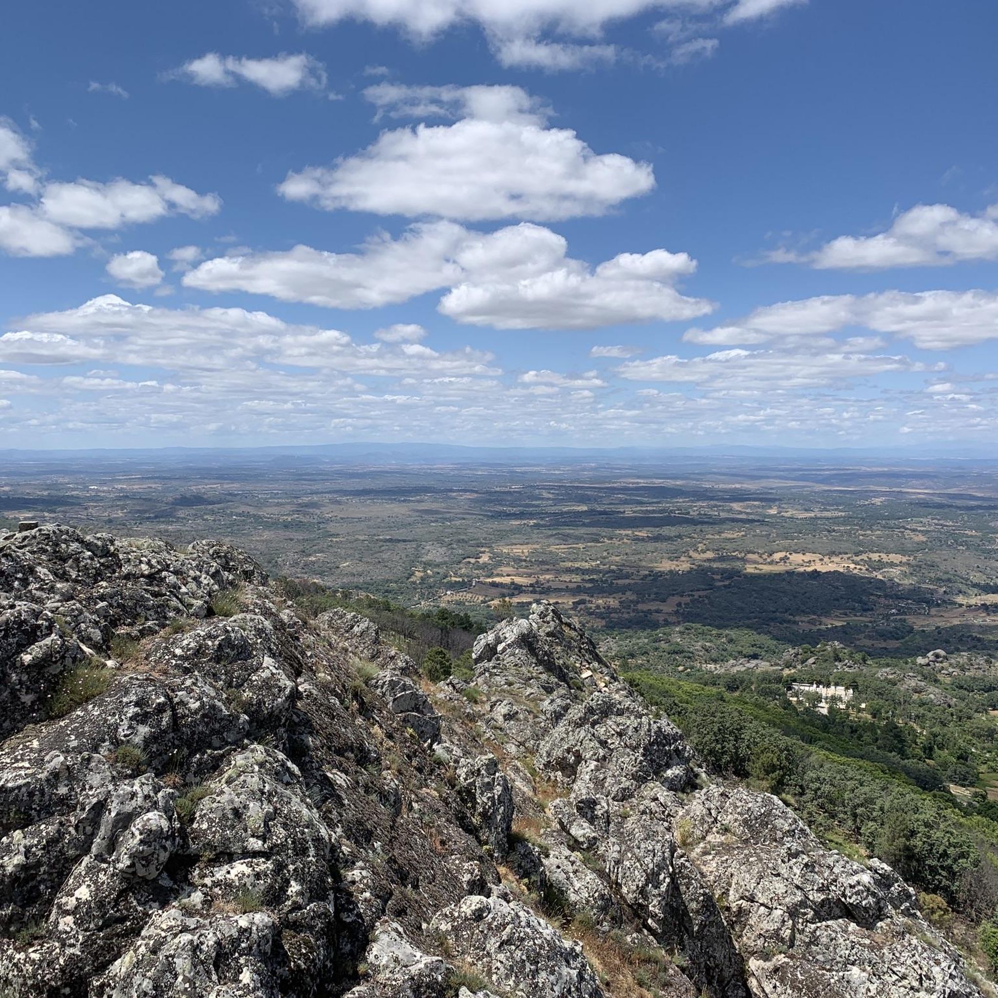
The Serrinha geodesic landmark is located in Serra da Melriça, which is part of the Naturtejo Geopark, in the municipality of Nisa. It is one of the geodetic vertices that make up the National Geodetic Network in Continental Portugal.
3
0
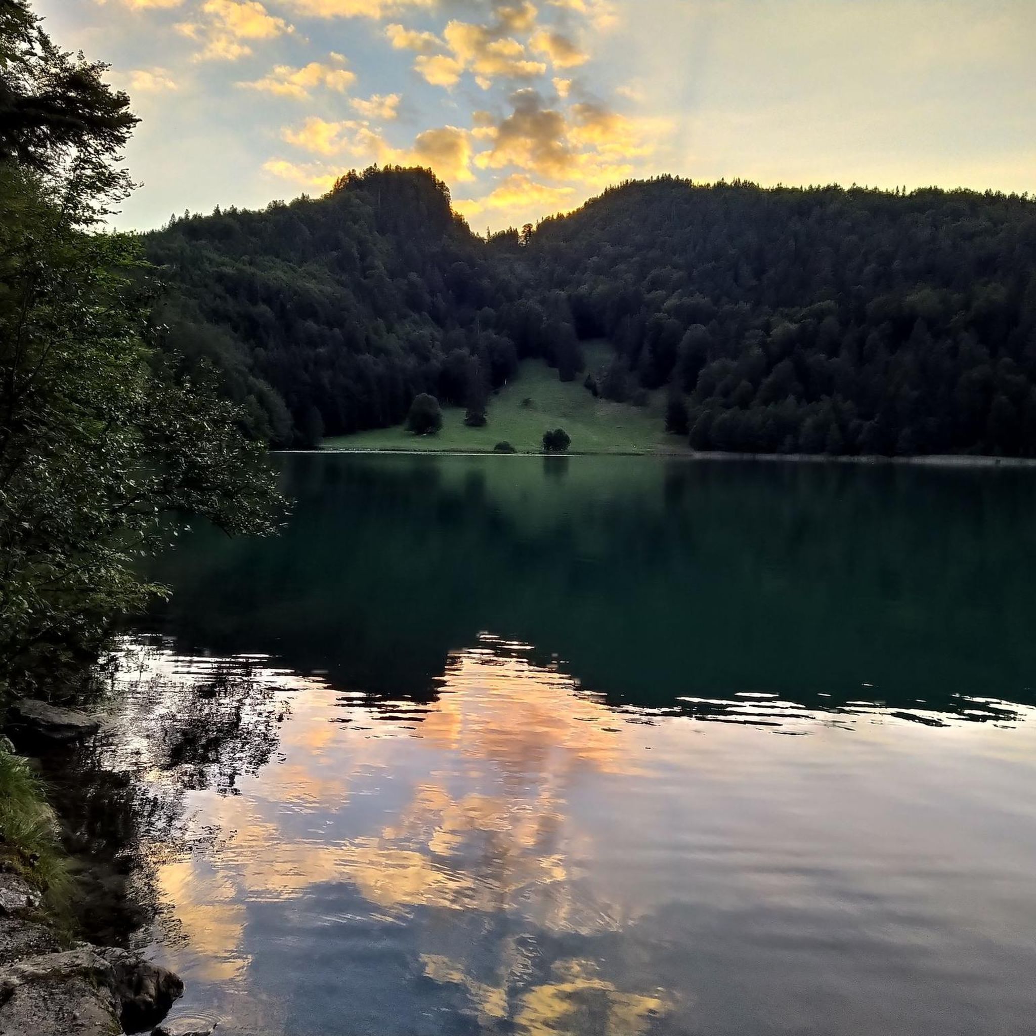
Ilha do Cabecinho is located close to Foz da Ribeira do Vale and the Albufeira de Fratel reservoir. Pedestrian access via a suspension bridge.
3
0
Pego das Portas is a charming place located in the Naturtejo Geopark, in the municipality of Nisa, in Portugal, with a privileged view of the Portas de Ródão natural monument and an excellent place for birdwatching (griffins).
3
0
The Conhal do Arneiro Roman Gold Mine is a gigantic mine that resulted from the gravitational dismantling of sedimentary deposits in the Tagus Valley by hydraulic action.
1
0
Frequently Asked Questions
What kind of terrain can I expect when hiking in Nossa Senhora Da Graça?
The hiking trails in Nossa Senhora Da Graça feature a diverse landscape, characterized by river valleys, rolling hills, and historical mining areas. You'll find paths winding alongside the Tagus River, as well as routes that ascend local elevations, offering varied natural environments from riverside strolls to more open, elevated sections.
How many hiking trails are available in Nossa Senhora Da Graça?
There are currently 4 hiking routes available in Nossa Senhora Da Graça, offering a range of experiences from easy riverside walks to moderate ascents through historical landscapes.
Are there any easy hiking options in Nossa Senhora Da Graça?
Yes, for those seeking an easier walk, the Hiking loop from Vila Velha de Ródão is an excellent choice. This route is 4.3 km long and takes approximately 1 hour 10 minutes to complete, with minimal elevation gain.
What interesting sights or landmarks can I see along the trails?
Hikers can explore several interesting landmarks. The Conhal Interpretive Center offers insights into the region's historical gold mining. You can also visit the natural monument Pego das Portas de Ródão, or discover the Nisa/Lage da Prata Plateau and Ancient Stone Structures. Some trails also feature unique man-made structures like the Suspended pedestrian bridge.
Are there any circular hiking routes in Nossa Senhora Da Graça?
Yes, many of the trails in Nossa Senhora Da Graça are designed as circular routes, allowing you to start and end at the same point. Examples include the Castelo de Ródão – View of the Tagus River Valley loop from Ródão and the Ilha do Cabecinho – Pego das Portas de Ródão loop from Santana.
What do other hikers say about the trails in Nossa Senhora Da Graça?
The routes in Nossa Senhora Da Graça are highly rated by the komoot community, with an average score of 4.8 stars from over 18 reviews. Hikers often praise the varied terrain, the historical insights, and the scenic views, especially along the Tagus River.
Are the hiking trails in Nossa Senhora Da Graça suitable for families?
Yes, some trails are suitable for families, particularly the easier routes that offer gentle paths and interesting sights. The Hiking loop from Vila Velha de Ródão is a good option for a family outing due to its shorter distance and lower difficulty.
Is there parking available near the trailheads?
While specific parking details for each trailhead are best checked on the individual route pages, most hiking areas in regions like Nossa Senhora Da Graça typically offer designated parking spots or roadside parking options near popular starting points. It's advisable to check the komoot tour details for specific parking recommendations.
What is the best time of year to go hiking in Nossa Senhora Da Graça?
The region's climate, characterized by river valleys and hills, generally makes spring and autumn ideal for hiking. During these seasons, temperatures are milder, and the natural scenery is particularly vibrant. Summer can be hot, especially in open areas, while winter might bring cooler, wetter conditions.
Are there any trails that explore the historical gold mining areas?
Absolutely. The PR4 Conhal Trails specifically explores historical gold mining landscapes, offering a unique glimpse into the region's past. This route is a moderate 10.9 km trail.
Can I find trails with views of the Tagus River Valley?
Yes, the region is known for its proximity to the Tagus River. The Castelo de Ródão – View of the Tagus River Valley loop from Ródão is an excellent choice, offering expansive views over the Tagus River Valley and the historic castle.
Most popular routes around Nossa Senhora Da Graça
Most popular attractions around Nossa Senhora Da Graça

Get inspired with the komoot mobile app


Explore more
Browse the best Hikes in other regions.
