The best road cycling routes around Candemil
5.0
(10)
591
riders
11
rides
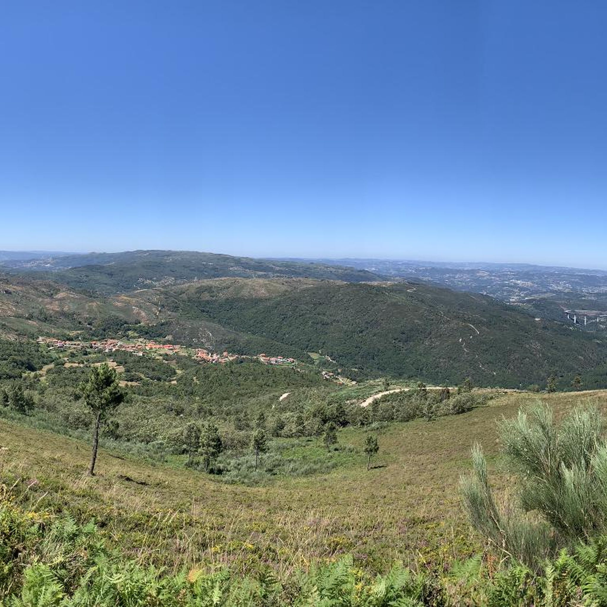
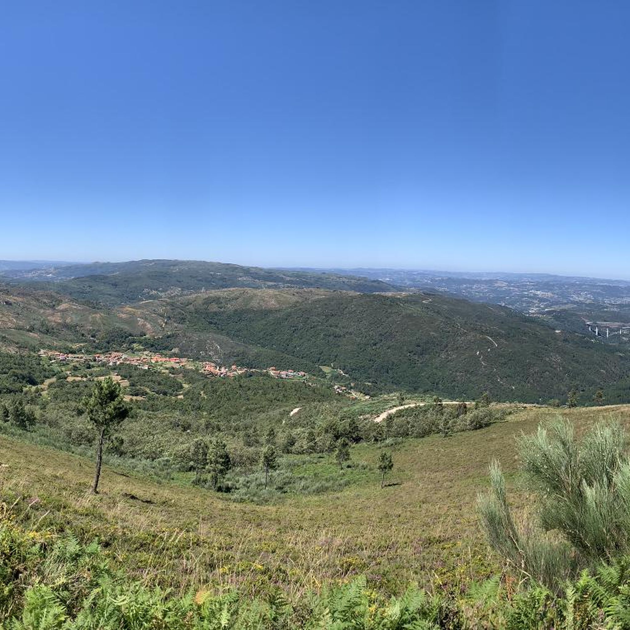
Road cycling routes around Candemil, located in Northern Portugal, traverse diverse landscapes characterized by gentle, rounded mountains and river valleys. The region features well-preserved oak forests and open pasture systems, offering varied terrain for road cyclists. Routes often follow the scenic Minho and Lima Rivers, providing both flat sections and challenging climbs. The area's topography includes significant elevation gains, making it suitable for experienced cyclists seeking demanding rides.
Best road cycling routes around Candemil
- The most popular road cycling route…
Last updated: July 1, 2026
5.0
(1)
67
riders
83.6km
04:45
1,790m
1,790m
Hard road ride. Very good fitness required. Some segments of this route may be unpaved and difficult to ride.
5.0
(2)
60
riders
81.7km
04:53
1,700m
1,700m
Hard road ride. Very good fitness required. Mostly well-paved surfaces and easy to ride.

Sign up for free
5.0
(1)
15
riders
54.0km
03:01
1,170m
1,170m
Hard road ride. Very good fitness required. Mostly well-paved surfaces and easy to ride.
15
riders
106km
05:56
2,320m
2,320m
Hard road ride. Very good fitness required. Mostly well-paved surfaces and easy to ride.
5.0
(1)
14
riders
90.5km
05:11
1,990m
1,990m
Hard road ride. Very good fitness required. Mostly well-paved surfaces and easy to ride.
Get access to more routes and recommendations from other explorers.
Sign up for free
Already have an account?
Our route recommendations are based on thousands of hikes, rides, and runs completed by other people on komoot.
Start today with a free account
Your next adventure awaits.
Login or Signup


Tips from the Community

The parking area for motorhomes directly on the Douro River
1
0

A worthwhile museum, which scores points despite/or because of its very minimalist presentation of the subject matter. At the end, enjoy a port wine on the terrace of the museum's café.
1
0
The bridge is really well-made. The view from the bridge is beautiful, even though there's still a lot that could be done with the buildings at the end.
2
0
The Duero rises in the Picos de Urbión Mountains in the northern Spanish province of Soria at an altitude of 2,080 meters. It flows through the autonomous community of Castile and León, passing through the cities of Soria, Almazán, Aranda de Duero, Tordesillas, and Zamora. For 112 km, it forms the Spanish-Portuguese border, with the river landscape on both sides located in protected natural parks: Arribes del Duero and Douro Internacional. From here, it flows 213 km into Portugal, passing through the cities of Miranda do Douro, Pinhão, and Peso da Régua, as well as the Alto Douro wine region. The Duero flows into the Atlantic near Porto and Vila Nova de Gaia.
3
0

The slopes of the Douro are truly spectacular. Stunning landscapes. 👍🥾
1
0
Thank you for sharing the spectacular photos.👍
0
0

A bridge with a horizontal deck over three unequal round arches, the central one being the largest. The pillars have triangular buttresses upstream and downstream. The parapet protecting the bridge deck rests on a carved tubular cornice. Crowning the buttresses, four semicircular balconies with stone benches open onto the deck. At each end, the bridge boasts two pairs of faceted Baroque spires resting on small spheres.
2
0

Frequently Asked Questions
What is the general difficulty level of road cycling routes around Candemil?
Road cycling routes around Candemil are generally challenging, with significant elevation gains. Out of 11 available routes, 10 are classified as difficult, and one is moderate. For example, the Régua Road Bridge – Régua Pedestrian Bridge loop from Loivos do Monte covers 82.5 km with over 1700 meters of elevation gain.
Are there any easy or beginner-friendly road cycling routes in Candemil?
While most routes around Candemil are challenging, there is one moderate route available. The region's topography, characterized by rounded mountains and river valleys, often includes substantial climbs. Cyclists new to the area should be prepared for varied terrain and elevation changes.
What kind of landscapes can I expect to see while road cycling in Candemil?
Candemil's road cycling routes traverse diverse landscapes, including gentle, rounded mountains, well-preserved oak forests, and open pasture systems. Many routes follow the scenic Minho and Lima Rivers, offering picturesque views of river valleys, vegetable gardens, and vineyards. The region also features areas like the Corno do Bico Protected Landscape, known for its natural beauty and granite formations.
What are some notable landmarks or points of interest along the road cycling routes?
Cyclists can encounter several historical and natural points of interest. The impressive Valença Fortress, a 17th-century star-shaped fortress, is a significant landmark. Routes often pass through charming towns like Ponte de Lima, Portugal's oldest town, known for its medieval bridge. You might also come across highlights such as the St. Gonçalo Bridge and the Church and Bridge of São Gonçalo in Amarante.
Are there any routes that incorporate converted railway lines or ecovías?
Yes, some routes in the region incorporate sections of converted railway lines, known as ecovías or greenways. For instance, the Tâmega Line Greenway – View of Ponte de São Gonçalo loop from Amarante utilizes parts of the Tâmega Line Greenway, offering a mix of surfaces and scenic river views. These sections often provide a different cycling experience compared to traditional country roads.
What do other road cyclists say about the routes in Candemil?
The road cycling routes around Candemil are highly regarded by the komoot community, holding an average rating of 5.0 stars from over 9 reviews. More than 558 road cyclists have used komoot to explore the varied terrain, often praising the challenging nature and scenic beauty of the rides.
Are there any circular road cycling routes available?
Yes, many of the road cycling routes around Candemil are designed as loops, allowing you to start and finish in the same location. An example is the Baião loop from Rede, which is a 54 km trail through varied landscapes.
What is the best time of year for road cycling in Candemil?
Northern Portugal generally offers pleasant cycling conditions outside of the peak summer heat. Spring (April-June) and Autumn (September-October) are often ideal, with milder temperatures and less rainfall, making them suitable for tackling the region's challenging routes and enjoying the scenic river valleys and protected landscapes.
Are there opportunities to see wildlife or protected natural areas while cycling?
Yes, the region is home to the Corno do Bico Protected Landscape, which features well-preserved oak forests and is a habitat for diverse wildlife, including the Iberian wolf, Pyrenean desman, and European otter. While cycling, you might traverse ancient rural paths and native woodlands within or near such protected areas, offering opportunities to experience the natural environment.
Are there any long-distance road cycling routes starting near Candemil?
Yes, the region offers options for longer journeys. For example, the A4 Bridge – Régua Road Bridge loop from Amarante is a difficult route spanning over 105 km with significant elevation gain, suitable for experienced cyclists looking for an extended ride.
Can I find cafes or places to stop for refreshments along the routes?
The region around Candemil, particularly in towns like Valença and Amarante, offers various cafes, restaurants, and shops. While specific amenities on every route section are not detailed, routes passing through or near these towns provide opportunities for refreshments and breaks. The Valença Fortress, for instance, houses a vibrant historical town with numerous options.
Most popular routes around Candemil
Most popular attractions around Candemil

Get inspired with the komoot mobile app


Explore more
Browse the best Road cycling routes in other regions.
