The best walks and hikes around Baião (Santa Leocádia)
4.4
(58)
228
hikers
6
hikes
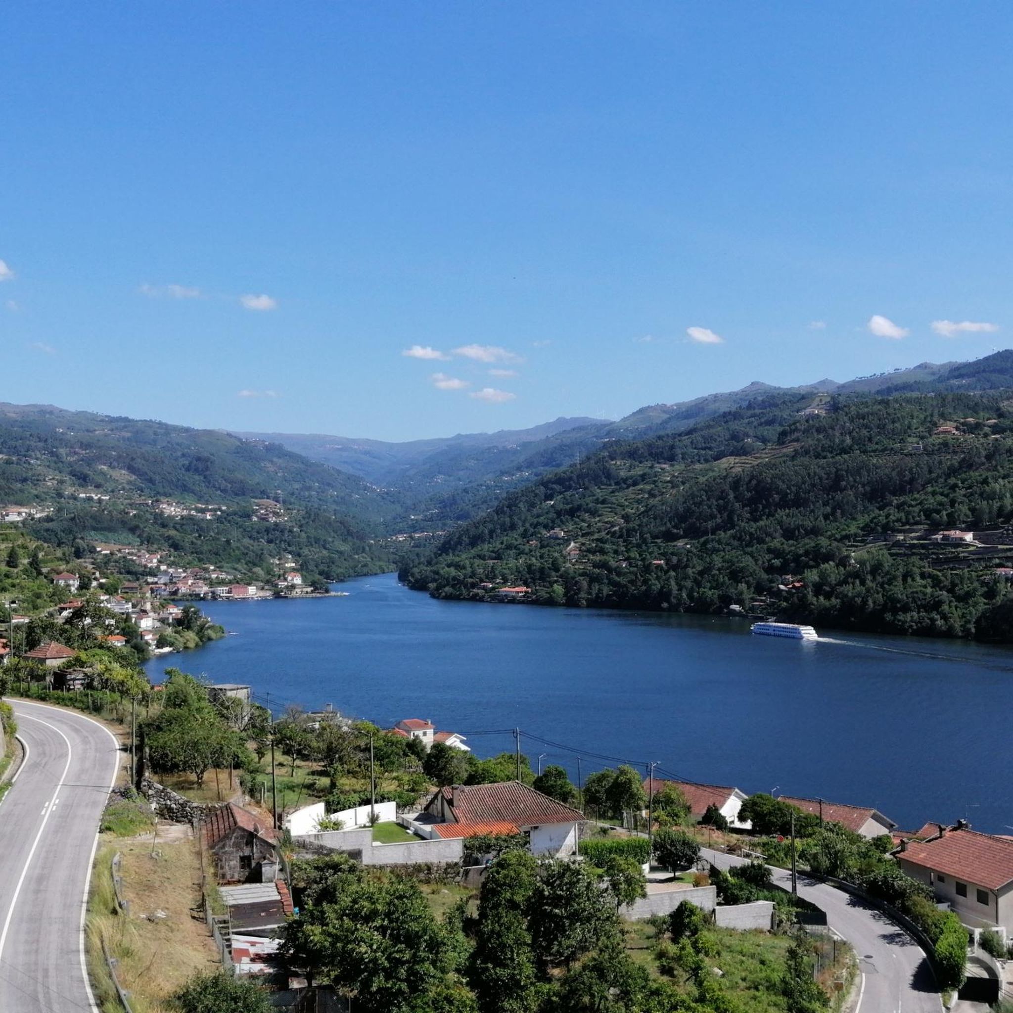
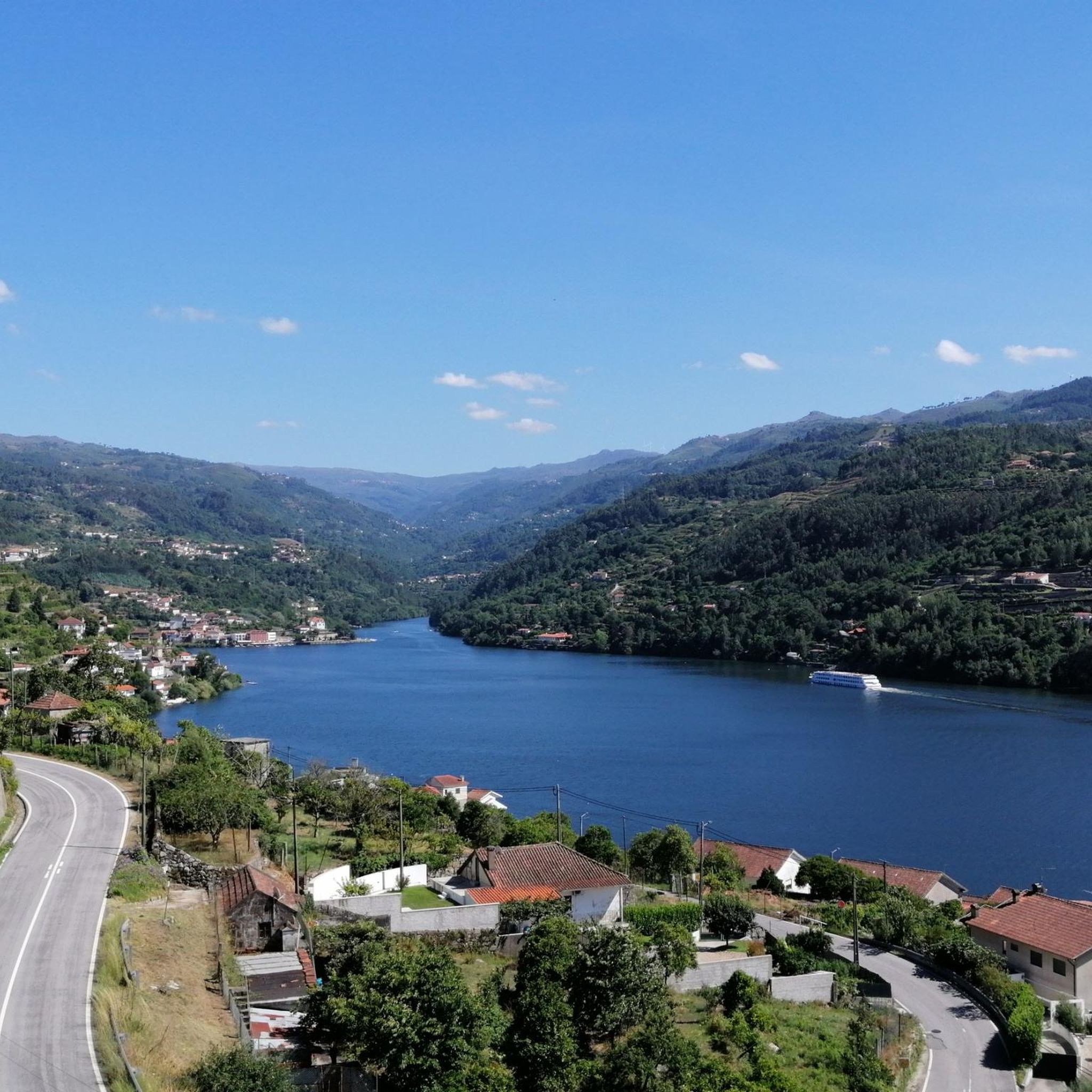
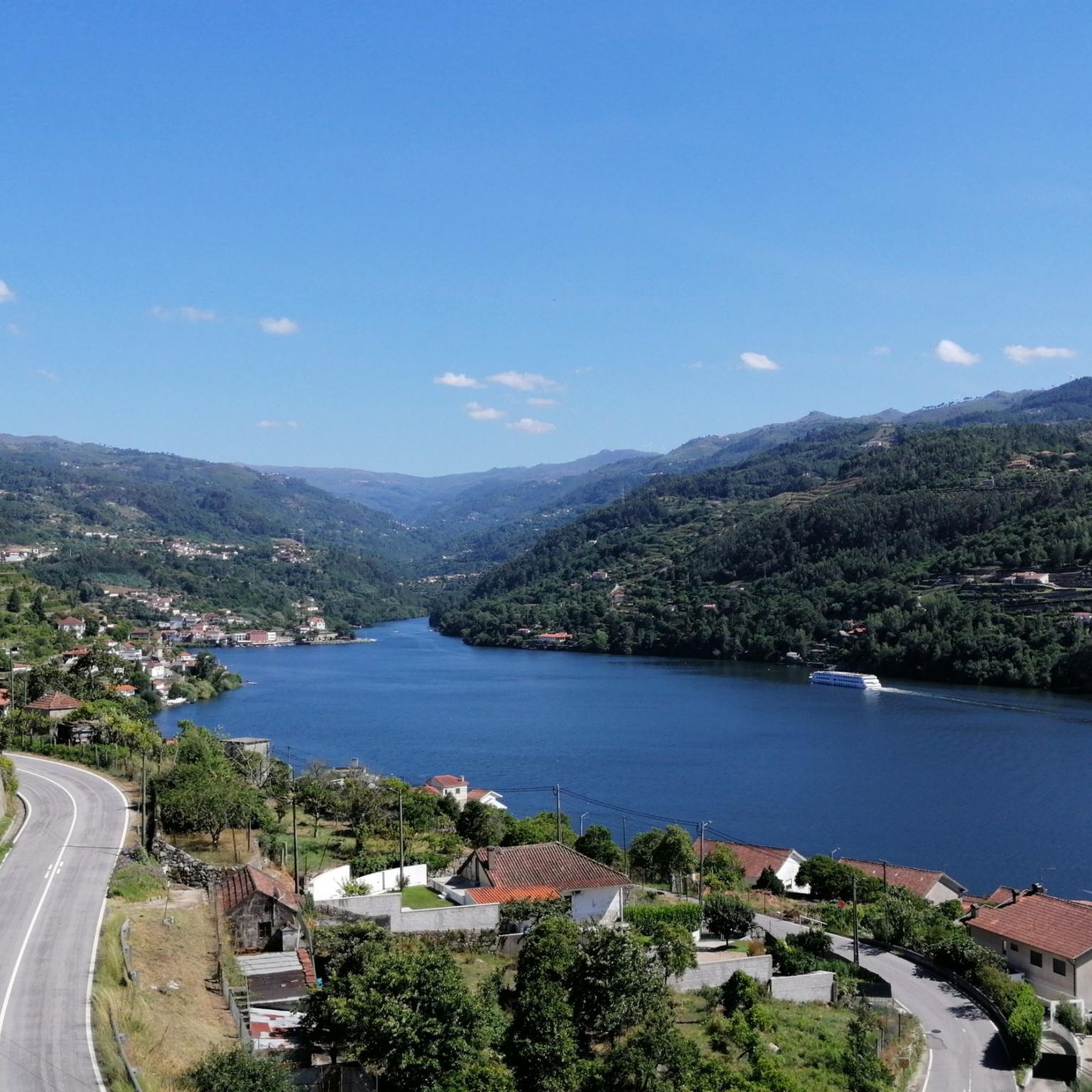
Hiking around Baião (Santa Leocádia) offers diverse natural landscapes characterized by prominent rivers such as the Bestança and Douro, and mountain ranges including Marão, Aboboreira, and Castelo. The region features extensive forest cover, contributing to its untouched feel. This area provides a blend of natural beauty and historical elements, with ancient bridges and viewpoints along its trails.
Best hiking trails in Baião (Santa Leocádia)
- The most popular hiking route is Bridge Over the Bestança River – Stream in Serra de Montemuro loop from Ferreiros de Tendais, a 6.2 miles (9.9 km) trail that takes 2 hours 58 minutes to complete. This moderate route explores the Bestança River valley and parts of the Serra de Montemuro.
- Another top favourite among local hikers is Tasquinha do Flimo loop from Soalhães, a moderate 8.9 miles (14.3 km) path. This route offers varied terrain and takes approximately 4 hours 19 minutes to complete.
- Local hikers also love the Tasquinha do Flimo loop from Baião, a 7.8 miles (12.5 km) trail leading through the region's green spaces, often completed in about 3 hours 34 minutes.
- Hiking around Baião (Santa Leocádia) is defined by its river valleys, mountain ranges, and extensive forests. The network offers options for different ability levels, from easy paths to more challenging routes.
- The routes in Baião (Santa Leocádia) are highly rated by the komoot community with an average score of 4.4 stars from over 50 reviews. More than 200 hikers have used komoot to explore Baião (Santa Leocádia)'s varied terrain.
Last updated: July 1, 2026
4.6
(25)
60
hikers
Moderate hike. Good fitness required. Easily-accessible paths. Suitable for all skill levels.
5.0
(4)
20
hikers
14.3km
04:20
480m
480m
Moderate hike. Good fitness required. Easily-accessible paths. Suitable for all skill levels.

Sign up for free
17
hikers
12.5km
03:34
300m
300m
Moderate hike. Good fitness required. Easily-accessible paths. Suitable for all skill levels.
3.0
(1)
9
hikers
4.70km
01:21
120m
110m
Easy hike. Great for any fitness level. Easily-accessible paths. Suitable for all skill levels.
3
hikers
4.86km
01:23
120m
120m
Easy hike. Great for any fitness level. Easily-accessible paths. Suitable for all skill levels.
Our route recommendations are based on thousands of hikes, rides, and runs completed by other people on komoot.
Start today with a free account
Your next adventure awaits.
Login or Signup
Popular around Baião (Santa Leocádia)
Tips from the Community

From here you can enjoy a beautiful panorama. The Miradouro da Nossa Senhora da Guia offers a splendid view of the surrounding mountains, especially suggestive at sunrise or sunset.
0
0

This is one of the many bridges that span the Bestança River, each inviting you to pause and take in the verdant serenity and the hypnotic murmur of the crystal-clear waters. Some, like the Soutela Bridge, date back to the Middle Ages, while others, more recent, blend harmoniously into the landscape. Whether ancient or modern, they all share one thing in common: breathtaking views.
1
0
This path descends through the valley of the River Bestança along one of the old roads that lead to the Prado area. The Bestança rises at Portas de Montemuro and flows into the Douro: 13.5 kilometres of crystal-clear water, it is one of the purest rivers in Europe. Its ecological balance sustains otters, trout and genets, while since ancient times, mills scattered throughout the valley have used its waters to grind cereals, especially corn, preserving a valuable rural heritage.
1
0

Great view over the Aboboreira mountains and the whole valley of the Serra do Castelo. The small chapel is used for pilgrimages in August
7
1
Incredibly original Tasquinha ... and sometimes the best when it comes to Alheira, this taste is simply heavenly. Reserving in English is not possible ... just drop by, if there are two of you you might find a place ...
9
1
Frequently Asked Questions
How many hiking trails are available in Baião (Santa Leocádia)?
Baião (Santa Leocádia) offers a selection of over 5 hiking trails, catering to various preferences. These routes have been explored by more than 200 hikers using komoot, showcasing the region's appeal for outdoor enthusiasts.
What do other hikers enjoy most about the trails in Baião (Santa Leocádia)?
The hiking trails in Baião (Santa Leocádia) are highly rated by the komoot community, with an average score of 4.4 stars from over 50 reviews. Hikers often praise the diverse natural landscapes, including prominent rivers and mountain ranges, and the blend of natural beauty with historical elements like ancient bridges.
Are there easy hiking trails suitable for beginners in Baião (Santa Leocádia)?
Yes, Baião (Santa Leocádia) features several easy hiking trails perfect for beginners or those seeking a relaxed walk. For instance, the Tasquinha do Flimo loop from Almofrela is an easy 4.7 km route with minimal elevation gain, taking just over an hour to complete. Another accessible option is the Tasquinha do Flimo loop from Pinhão, which is 4.9 km long and also rated as easy.
Are there any circular hiking routes in Baião (Santa Leocádia)?
Many of the trails in Baião (Santa Leocádia) are designed as circular routes, allowing you to start and end at the same point. Examples include the popular Bridge Over the Bestança River – Stream in Serra de Montemuro loop from Ferreiros de Tendais, a 9.9 km moderate trail, and the Tasquinha do Flimo loop from Soalhães, an 14.3 km moderate route.
Can I find hikes with viewpoints in Baião (Santa Leocádia)?
Yes, the region is known for its stunning natural lookouts. The Marão Mountain, for example, offers the Senhora da Serra do Marão Viewpoint at its highest point of 1416 meters. Additionally, the Mirador of Senhora da Guia on Serra da Aboboreira provides breathtaking vistas of the surrounding landscapes.
Are there any natural pools or waterfalls along the hiking trails?
Yes, the region is home to beautiful waterways and natural features. The Bestança River is a prominent feature, and the area boasts a specific Natural Pool and Waterfall Trail. You can also find the Cabrum Natural Pools, offering refreshing spots to cool down.
What historical attractions can I discover while hiking in Baião (Santa Leocádia)?
Baião (Santa Leocádia) is rich in historical traces. Hikers can encounter ancient bridges, such as the medieval Bridge Over the Bestança River, which offers picturesque views. The region also holds testimonies of a millennial human presence, including the Aboboreira Megalithic Complex, hinting at ancient history along the trails.
Are there any specific natural areas or forests to explore?
Absolutely. Baião (Santa Leocádia) is characterized by a vast forest covering 70% of its territory. A notable natural spot is the Carvalhal da Reixela, an autochthonous Oak Forest featuring Alvarinho Oak, providing a serene and untouched environment for hikers.
What are the main geographical features that define the hiking experience in Baião (Santa Leocádia)?
The hiking experience in Baião (Santa Leocádia) is defined by its diverse geography, including prominent rivers like the Bestança, Douro, and Ovil, and significant mountain ranges such as Marão, Aboboreira, and Castelo. These features create varied terrains and stunning natural backdrops for your hikes.
Is public transport available to reach the trailheads in Baião (Santa Leocádia)?
While specific public transport options directly to every trailhead can vary, Baião is generally accessible. For detailed information on local bus routes and schedules that might connect to areas near trailheads, it's advisable to consult the official Baião tourism website: visitbaiao.pt.
Are there places to park near the hiking trails?
Parking availability can vary by trailhead. Many routes, especially those starting from villages or popular points, often have designated or informal parking areas nearby. It's recommended to check the specific route details on komoot for information on starting points and potential parking options.
Most popular routes around Baião (Santa Leocádia)
Most popular attractions around Baião (Santa Leocádia)

Get inspired with the komoot mobile app


Explore more
Browse the best Hikes in other regions.
