The best road cycling routes around Gallneukirchen
4.7
(28)
646
riders
28
rides
Road cycling routes around Gallneukirchen traverse the diverse landscapes of the lower Mühlviertel region in Austria. The area features a mix of rolling hills and river valleys, including the Gusen River, offering varied terrain for cyclists. Many routes are characterized by well-paved surfaces, providing smooth riding conditions. Cyclists can expect varied elevation gains, from gentle climbs in the valleys to more challenging ascents in the hills.
Best road cycling routes around Gallneukirchen
- The most popular road cycling route is Wintersdorferstraße…
Last updated: July 8, 2026
5.0
(6)
109
riders
32.7km
01:37
490m
490m
Moderate road ride. Good fitness required. Mostly well-paved surfaces and easy to ride.
4.7
(3)
71
riders
48.3km
02:32
830m
830m
Moderate road ride. Good fitness required. Mostly well-paved surfaces and easy to ride.

Sign up for free
5.0
(3)
68
riders
Moderate road ride. Good fitness required. Mostly well-paved surfaces and easy to ride.
5.0
(1)
49
riders
46.2km
01:54
250m
250m
Easy road ride. Great for any fitness level. Mostly well-paved surfaces and easy to ride.
5.0
(1)
32
riders
34.5km
01:49
610m
610m
Moderate road ride. Good fitness required. Mostly well-paved surfaces and easy to ride.
Get access to more routes and recommendations from other explorers.
Sign up for free
Already have an account?
Our route recommendations are based on thousands of hikes, rides, and runs completed by other people on komoot.
Start today with a free account
Your next adventure awaits.
Login or Signup
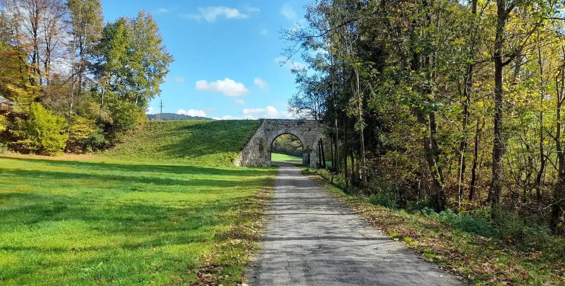
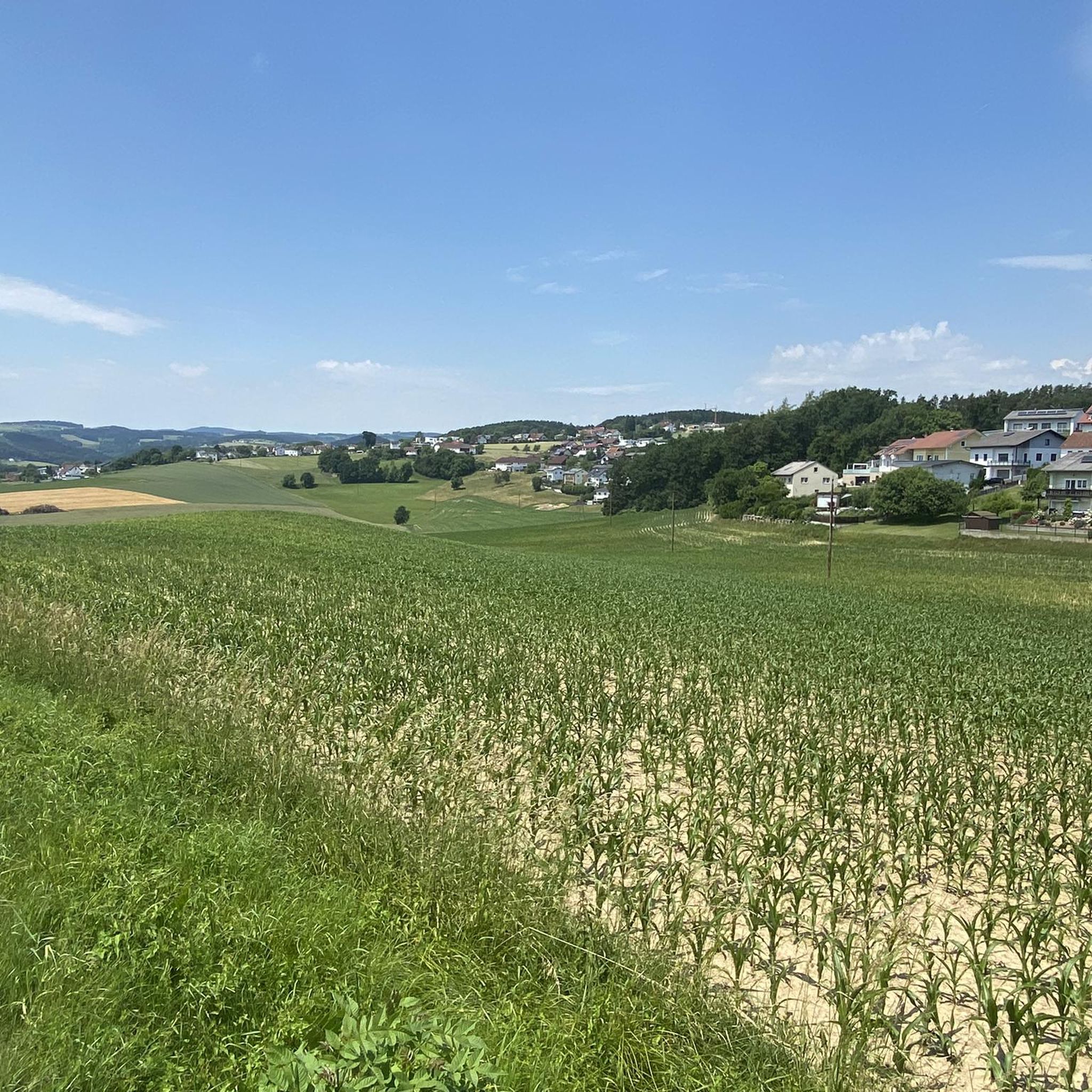
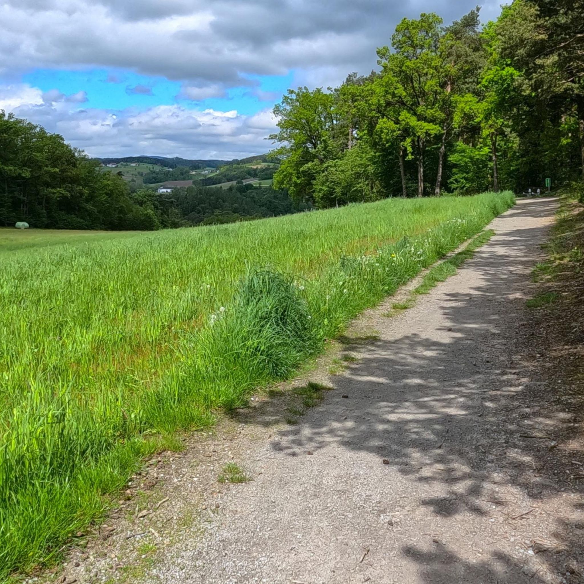
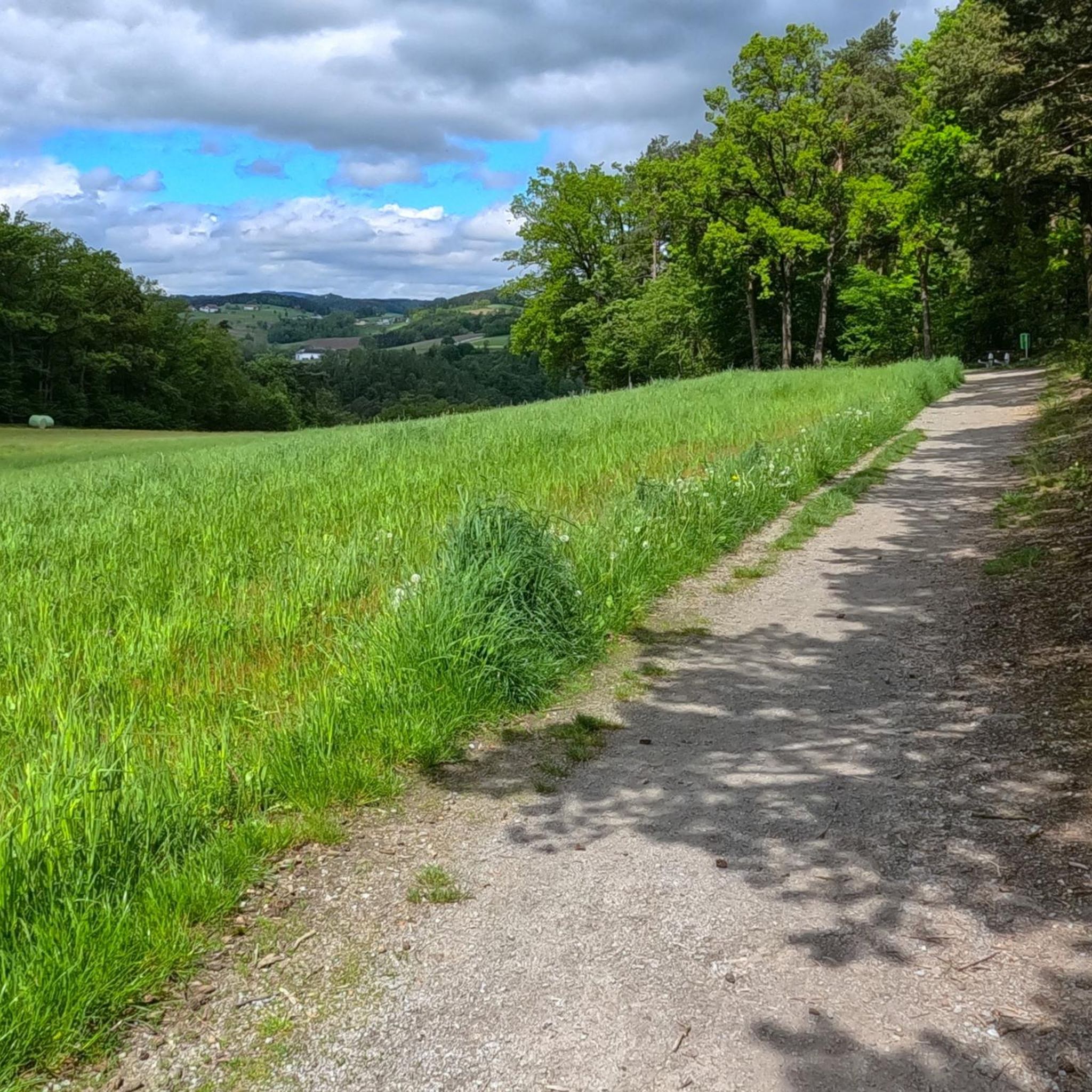

Other adventures around Gallneukirchen

Tips from the Community


The Ennsegg bicycle ferry connects the towns of Enns, St. Pantaleon-Erla, and Mauthausen across the Danube and is particularly popular with cyclists on the Danube Cycle Path. It operates daily from 9:00 a.m. to 6:00 p.m. from May to September, and until 7:00 p.m. from June to August. Crossings take place at short intervals of approximately five to ten minutes, and up to twelve people with their bicycles can be transported at one time. The ferry offers a weatherproof crossing and is also suitable for groups. This makes it a practical and scenic way to cross the Danube and connect the cycle paths on both banks.
2
0

Nice here, but very noisy due to the main road
1
0
The crossing is a nice change of pace during the tour and offers a great view. For those who usually only cycle over bridges, ferries are a very interesting option. The "Ennsegg" bike ferry connects the towns of Enns, St. Pantaleon-Erla, and Mauthausen across the Danube and is especially popular with cyclists on the Danube Cycle Path. It operates daily from 9:00 a.m. to 6:00 p.m. from May to September, and until 7:00 p.m. from June to August. Crossings take place at short intervals of about five to ten minutes, and up to twelve people and their bicycles can be transported at a time. The ferry offers a weatherproof crossing and is also suitable for groups. This makes it a practical and atmospheric way to cross the Danube and connect the cycle paths on both banks.
5
1

Quiet Mühlviertler Güterweg, very relaxed here.
1
0

Nice route along the Gusen. Unfortunately also some traffic. Attention: Don't miss the junction of the cycle route!
0
0

The former castle houses a pharmacy museum.
1
0
Frequently Asked Questions
How many road cycling routes are available around Gallneukirchen?
There are over 200 road cycling routes in and around Gallneukirchen. Our guide features 28 curated routes, offering a diverse range of options for cyclists.
What is the best time of year for road cycling in Gallneukirchen?
June and August are particularly popular months for road cycling in Gallneukirchen, offering favorable weather conditions to explore the region's routes.
What kind of terrain and elevation can I expect on road cycling routes in this region?
The region offers diverse terrain, from gentle climbs with less than 300 meters of elevation on easy rides to moderate routes with up to 900 meters. For experienced cyclists, some challenging rides climb over 900 meters, providing varied experiences across rolling hills and river valleys.
Are the road cycling routes around Gallneukirchen mostly paved?
Yes, many road cycling routes around Gallneukirchen are characterized by mostly well-paved surfaces, ensuring a smooth and enjoyable ride. For example, one route is noted for being 89% asphalt.
Are there easy road cycling routes suitable for beginners or families?
Yes, there are easy road cycling routes available. For instance, the Lower Gusental – Enns–Mauthausen Bicycle Ferry loop from Gallneukirchen is a 46.0 km trail with a gentle 248 meters of elevation, suitable for all fitness levels.
What natural attractions can I see along the road cycling routes?
You can encounter various natural features, including the Gusen River valley and landscape ponds like the Ottenschlag Landscape Pond. The Pfenningberg Summit Cross offers expansive views over Linz, and the region is close to the Mouth of the Traun-Danube.
Are there any cultural or historical sights accessible by road bike?
Yes, some routes combine cycling with cultural exploration. The Riedegg Castle – Ottenschlag Landscape Pond loop from Gallneukirchen passes by Riedegg Castle, allowing you to enjoy both physical activity and historical landmarks.
What do other road cyclists appreciate about the routes in Gallneukirchen?
The routes in Gallneukirchen are highly rated by the komoot community, with an average score of 4.9 stars from more than 20 reviews. Cyclists often praise the varied terrain, well-maintained surfaces, and the scenic beauty of the Mühlviertel region.
Are there options for longer, all-day road cycling tours?
Yes, for those seeking longer adventures, tours like the 'Culinary Hill World Tour from/to Hagenberg' invite cyclists on all-day excursions through the picturesque Mühlviertel.
How can I explore the Danube River area by road bike from Gallneukirchen?
Gallneukirchen's proximity to the Danube River allows access to the Danube Cycle Path near Linz. This offers a unique blend of natural scenery, industrial views, and urban development, providing a different cycling experience.
Are there challenging road cycling routes for experienced riders?
Yes, for experienced riders, there are routes with significant elevation gains, some climbing over 900 meters. These routes require good fitness and offer a rewarding challenge through the region's rolling hills.
Most popular routes around Gallneukirchen
Most popular attractions around Gallneukirchen

Get inspired with the komoot mobile app


Explore more
Browse the best Road cycling routes in other regions.
