The best road cycling routes around Galenberg
4.4
(141)
1,597
riders
71
rides
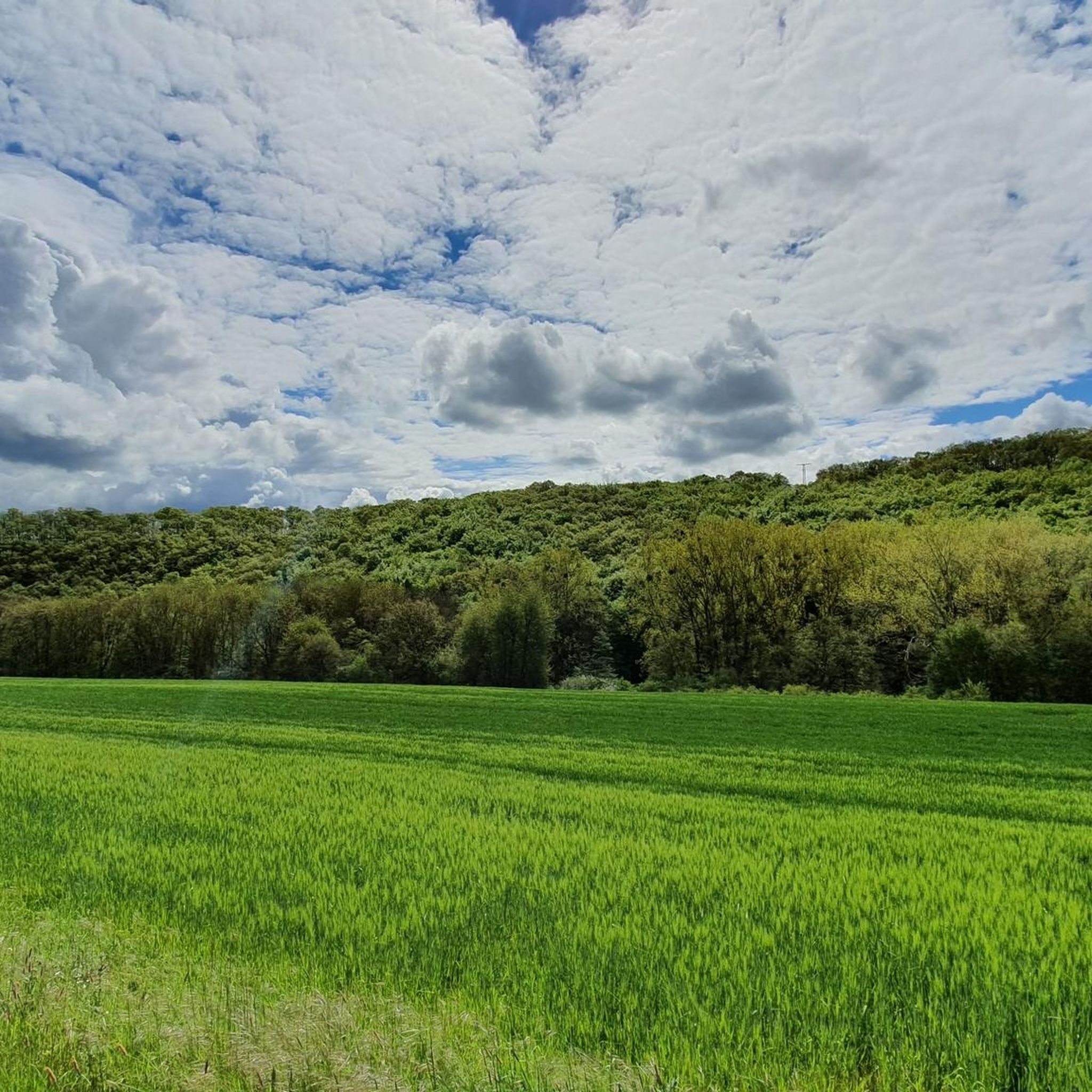
Road cycling routes around Galenberg are situated within the Eifel region, characterized by diverse topography including rolling hills, valleys, and volcanic cones. The landscape features extensive forests and river valleys, offering varied terrain for road cyclists. Many routes utilize former railway lines, providing paths with minimal gradients, while others present significant elevation gains through the Vulkaneifel sub-region. This area provides a mix of challenging climbs and quieter sections, catering to different cycling preferences.
Best road cycling routes around Galenberg
- The…
Last updated: June 26, 2026
5.0
(1)
87
riders
76.9km
03:39
1,030m
1,030m
Hard road ride. Very good fitness required. Mostly well-paved surfaces and easy to ride.
46
riders
50.4km
02:36
890m
890m
Moderate road ride. Good fitness required. Mostly well-paved surfaces and easy to ride.

Sign up for free
5.0
(2)
31
riders
33.1km
01:27
290m
290m
Easy road ride. Great for any fitness level. Mostly well-paved surfaces and easy to ride.
29
riders
33.6km
01:44
510m
510m
Moderate road ride. Good fitness required. Some segments of this route may be unpaved and difficult to ride.
3.0
(2)
41
riders
Moderate road ride. Good fitness required. Mostly well-paved surfaces and easy to ride.
Get access to more routes and recommendations from other explorers.
Sign up for free
Already have an account?
Our route recommendations are based on thousands of hikes, rides, and runs completed by other people on komoot.
Start today with a free account
Your next adventure awaits.
Login or Signup
Tips from the Community

At the moment the road to Altenahr is closed here
0
0

For me, it was the destination of the first stage of the Eifel Ladder. I was picked up by the innkeeper at my guesthouse.
0
0

Station of the Vulkanexpress from the Rhine (Brohl-Lützing) to the Eifel (Engeln)
5
0

The approximately 20-meter-high Obertor (Upper Gate) is one of Ahrweiler's four city gates dating back to the 13th century. The gate consists of a three-story tower, four corner towers, and a hipped roof and is located in the west of the town. The patron saint of the Obertor and the Oberhut (upper gate), which begins here, is Saint Ursula. The Obertor (Upper Gate) in Ahrweiler is a historic city gate that offers a fascinating insight into the rich history of this picturesque town. Ahrweiler, nestled in the heart of the Ahr Valley in Rhineland-Palatinate, is characterized by its well-preserved medieval architecture, and the Obertor (Upper Gate) is an outstanding example. The Obertor, also known as the Upper Gate, is the western city gate and forms a prominent entrance to Ahrweiler's old town. It dates back to the 13th century and is thus an impressive example of medieval architecture. The massive quarry stone tower and the tall, pointed-arched gate give the Obertor an imposing appearance, which
1
0

Directly after that the “ruin for eternity”
1
0

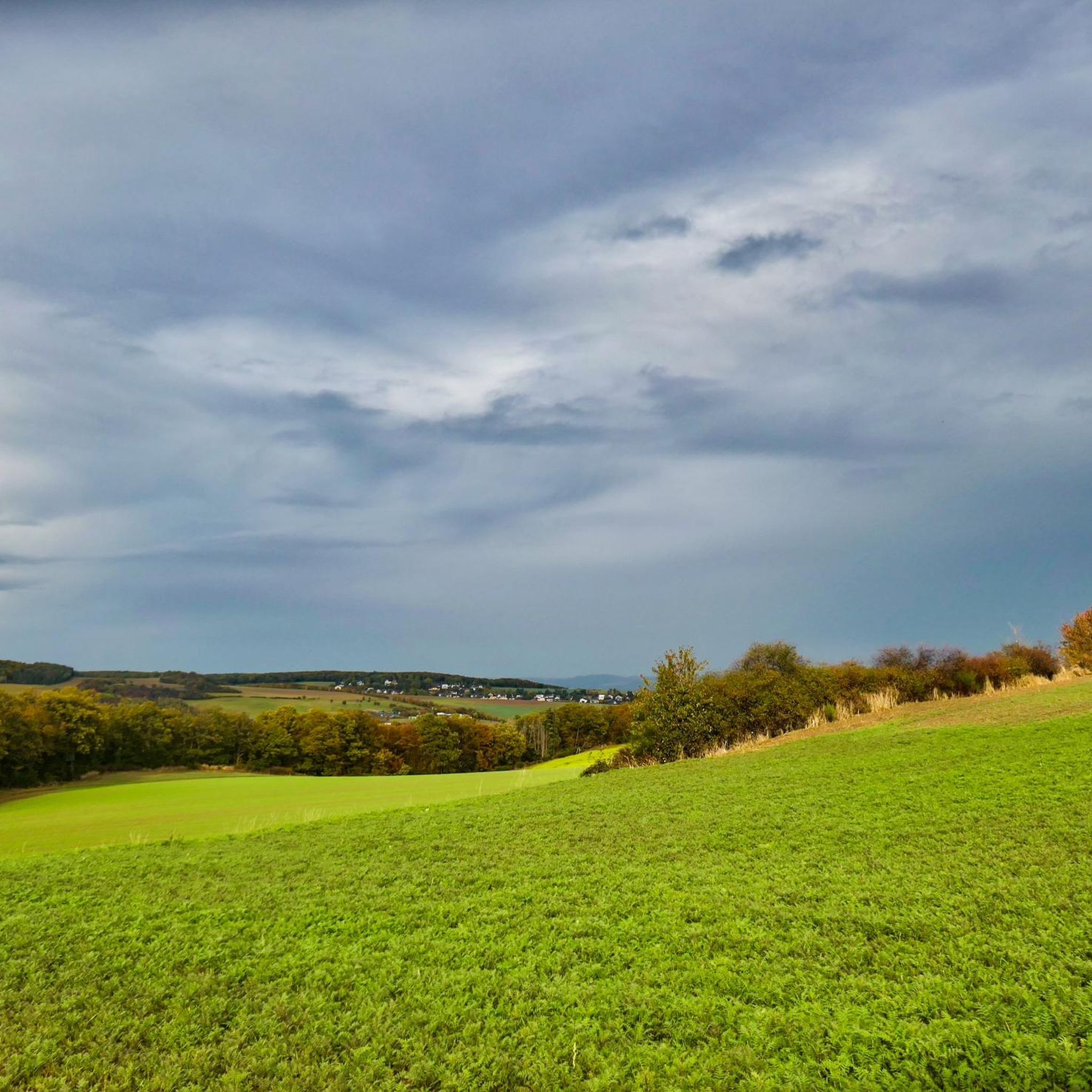
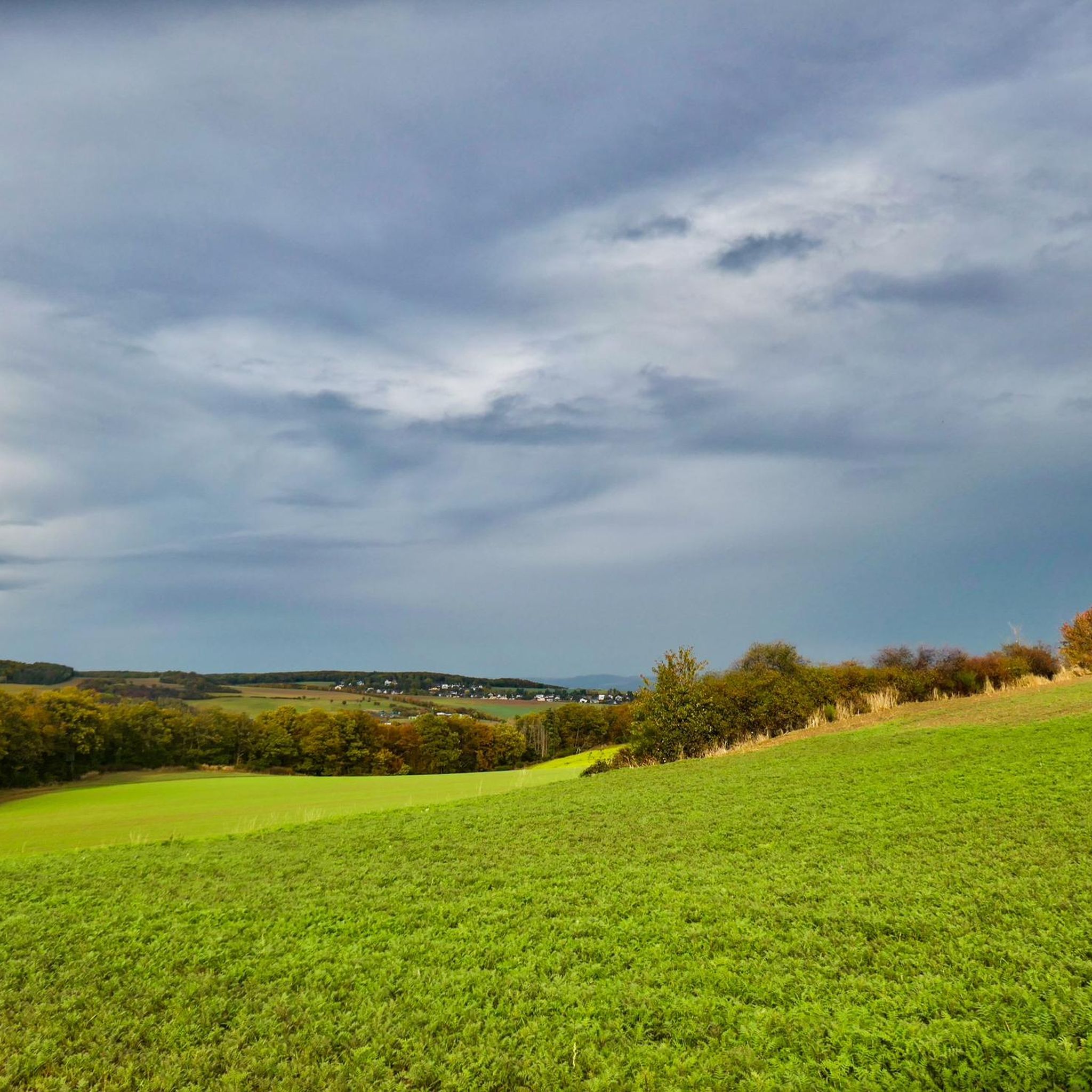
Great descent from Ramersbach towards Ahrbrück with beautiful views. The road is a bit bumpy in places. Next time I'll turn around and go up.
0
0

Absolute highlight, looks like a model railway
2
0

For railway nostalgics: the old railway fights its way through the Brohl valley on a narrow track.
3
0
Frequently Asked Questions
How many road cycling routes are available around Galenberg?
There are over 70 road cycling routes around Galenberg, offering a wide range of options for different skill levels. This includes 8 easy, 48 moderate, and 18 difficult routes.
What kind of terrain can I expect when road cycling around Galenberg?
The Eifel region around Galenberg features a diverse topography. You can expect rolling hills and valleys, with some routes offering significant elevation gains, especially in the Volcanic Eifel areas. There are also flatter sections along river valleys and paths built on former railway lines, providing varied experiences from challenging climbs to relaxed rides.
Are there any easy road cycling routes suitable for beginners or more relaxed rides?
Yes, Galenberg offers several easy road cycling routes. Many paths utilize disused railway lines, providing minimal gradients for comfortable cycling. An example is the Burgbrohl Train Station – Brohltalbahn Viaduct loop from Niederzissen, which is 20.5 miles (33.1 km) long and leads through the scenic Brohltal valley.
What are some scenic highlights or landmarks I can see along the road cycling routes?
Road cycling routes around Galenberg often pass through picturesque landscapes and near interesting landmarks. You can find routes with views of the Eifel landscape, such as the View of the Eifel – View of Ramersbach loop from Wehr. Other routes might lead you past historic castles like Arendtsville Castle or offer detours to natural features like the Laacher Lake or the Waterfall in the Wolfsschlucht.
Are there challenging road cycling routes for experienced cyclists?
Absolutely. The Vulkaneifel sub-region, in particular, is known for its intensive climbs and significant elevation gains, offering a challenge for road cyclists. A difficult route like the View of Burg Kreuzberg – Ahr loop near Mayschoss loop from Brohltal covers 46.5 miles (74.9 km) with over 1000 meters of elevation gain, providing a demanding experience.
What do other road cyclists enjoy most about road cycling in Galenberg?
The road cycling routes around Galenberg are highly rated by the komoot community, with an average score of 4.4 stars from over 140 reviews. Cyclists frequently praise the diverse terrain, from rolling hills and volcanic landscapes to quiet roads through forests and river valleys, as well as the well-maintained paths and scenic views.
Are there any road cycling routes that pass by lakes or water features?
Yes, some routes in the region incorporate beautiful water features. For instance, the Rieden Forest Lake – Riedener Waldsee loop from Niederzissen is a moderate 33.5 km route that takes you past the picturesque Riedener Waldsee.
Is it possible to find circular road cycling routes around Galenberg?
Many of the road cycling routes around Galenberg are designed as loops, allowing you to start and end at the same point. Examples include the View of Burg Kreuzberg – Ahr loop near Mayschoss loop from Brohltal and the View of the Eifel – View of Ramersbach loop from Wehr, offering convenient circular tours.
What is the best time of year for road cycling in Galenberg?
The Eifel region, including Galenberg, is generally pleasant for road cycling from spring through autumn. The mild temperatures and lush green landscapes make these seasons ideal. While specific conditions vary, the region's diverse scenery is enjoyable for much of the year, with autumn offering particularly vibrant colors.
Are there any routes that offer views of castles or historical sites?
Yes, the region is rich in history and offers routes with views of historical sites. For example, the View of Burg Kreuzberg – Ahr loop near Mayschoss loop from Brohltal provides views of Burg Kreuzberg. Additionally, the Niederzissen Railway Station – View of Burg Rheineck loop from Brohltal offers glimpses of Burg Rheineck, adding a historical dimension to your ride.
Are there cafes or places to stop for refreshments along the road cycling routes?
The Eifel region is dotted with charming villages and towns, especially along river valleys, which often feature cafes, pubs, and restaurants. While specific stops depend on your chosen route, you'll find opportunities for refreshments in places like Niederzissen or Brohltal, which serve as starting points or pass-throughs for many routes.
Most popular attractions around Galenberg

Get inspired with the komoot mobile app


Explore more
Browse the best Road cycling routes in other regions.
