The best walks and hikes around Serra De Santo António
4.5
(252)
912
hikers
40
hikes
Hiking around Serra De Santo António, located within the Serra de Aire e Candeeiros Nature Park, features a distinctive karstic landscape. This terrain is characterized by limestone ridges, dolines, and exposed rock formations, shaped by millions of years of geological activity. The region also displays human influence through dry stone walls, traditional olive groves, and diverse flora including wildflowers and fruit trees.
Best hiking trails around Serra De Santo António
- The most popular hiking route is Tour of the Friars (PR 5) — Serras de Aire e Candeeiros, a 6.9 miles (11.1 km) moderate trail that takes 3 hours 8 minutes to complete. This route offers insights into the region's karstic features and natural park environment.
- Another top favourite among local hikers is Fórnea Viewpoint – Fórnea Summit loop from Alvados e Alcaria, a moderate 9.3 miles (15.0 km) path. This trail provides panoramic views and passes near the Fórnea Waterfall.
- Local hikers also love the Hiking loop from Alvados e Alcaria, an 8.4 miles (13.5 km) trail leading through varied terrain, often completed in about 3 hours 57 minutes.
- Hiking around Serra De Santo António is defined by karstic landscapes, limestone ridges, and traditional dry stone walls. The network offers options for different ability levels, from moderate walks to more challenging routes.
- The routes in Serra De Santo António are highly rated by the komoot community with an average score of 4.5 stars from more than 200 reviews. More than 800 hikers have used komoot to explore Serra De Santo António's varied terrain.
Last updated: July 7, 2026
4.3
(6)
17
hikers
11.1km
03:08
240m
240m
Moderate hike. Good fitness required. Easily-accessible paths. Suitable for all skill levels.
4.9
(36)
127
hikers
15.0km
04:22
390m
390m
Moderate hike. Good fitness required. Easily-accessible paths. Suitable for all skill levels.

Sign up for free
4.7
(7)
26
hikers
13.5km
03:58
370m
370m
Moderate hike. Good fitness required. Easily-accessible paths. Suitable for all skill levels.
3.9
(7)
22
hikers
6.64km
02:12
300m
300m
Moderate hike. Good fitness required. Easily-accessible paths. Suitable for all skill levels.
4.8
(5)
15
hikers
10.2km
02:54
250m
240m
Moderate hike. Good fitness required. Easily-accessible paths. Suitable for all skill levels.
Get access to more routes and recommendations from other explorers.
Sign up for free
Already have an account?
Our route recommendations are based on thousands of hikes, rides, and runs completed by other people on komoot.
Start today with a free account
Your next adventure awaits.
Login or Signup
Tips from the Community

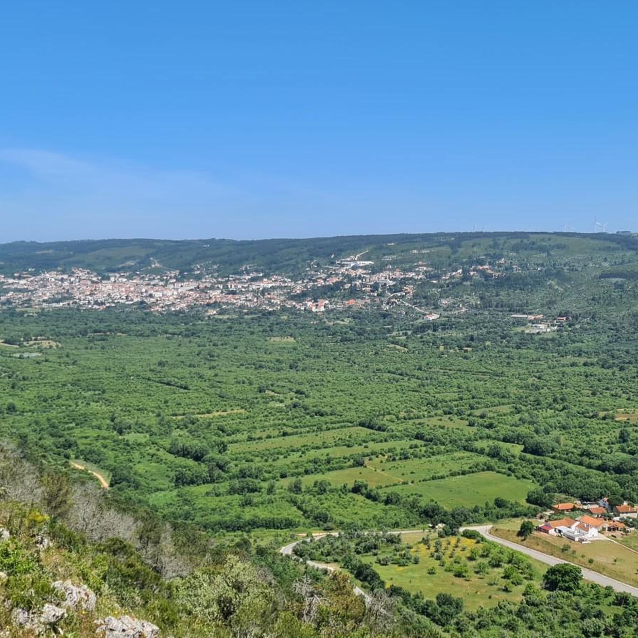
From the top of Cabeça Gorda, the view is breathtaking. The green mantle of the mountains stretches endlessly, undulating until it blends into the horizon. During rainy seasons, small lakes appear in Mira de Aire, reflecting the sky and adding brightness to the landscape.
1
0
From the top of the mountain, a breathtaking natural landscape opens up before you: the Polje de Minde, also known as the Minde Sea, stretches out in shades of green and water, a rare wetland nestled between hills. In the background, the São Mamede plateau and the undulating silhouette of the Serra d’Aire stand out.
1
0

Wide saddle where various paths intersect. It is the pass that connects the villages of Ribeira de cima to Alcaria.
0
0
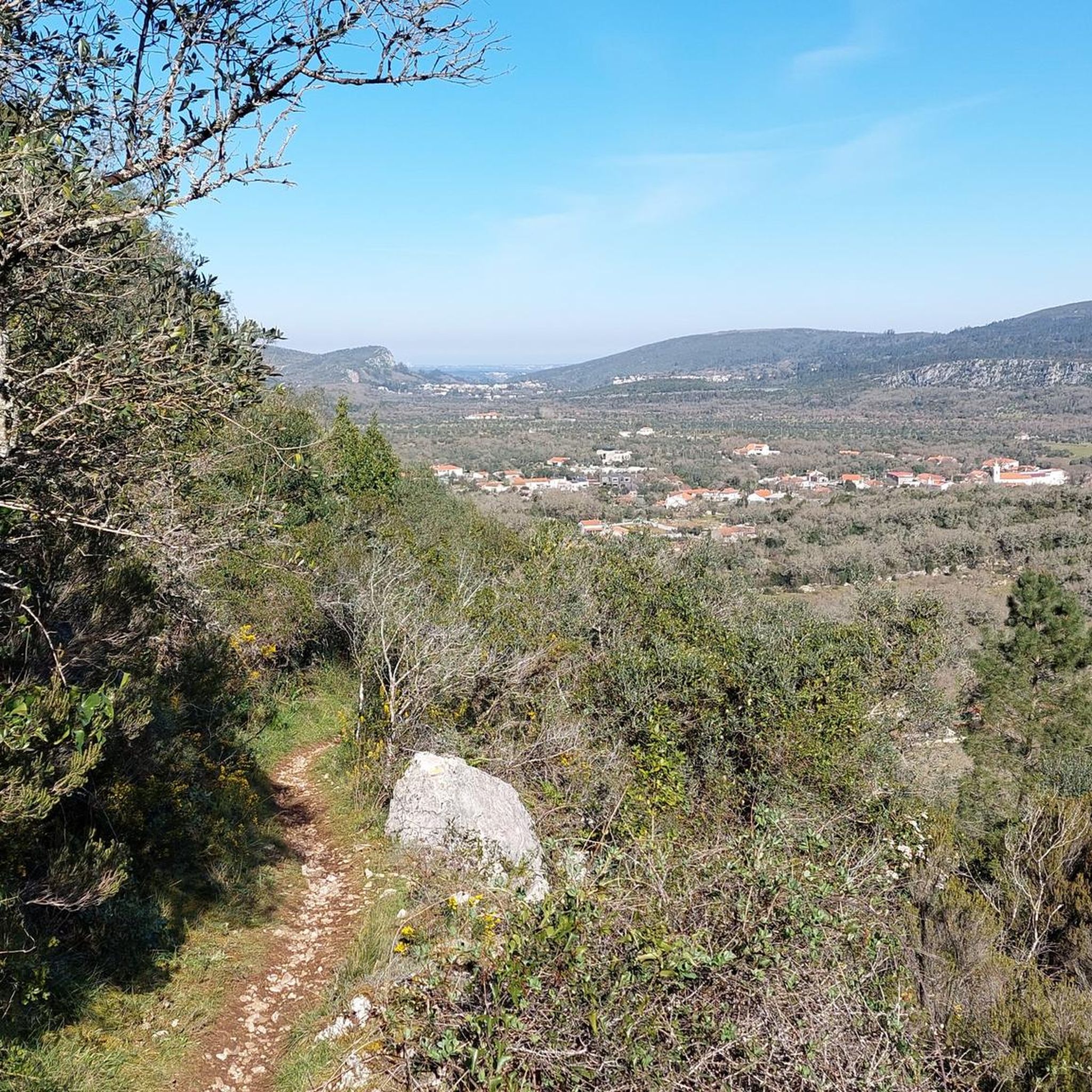
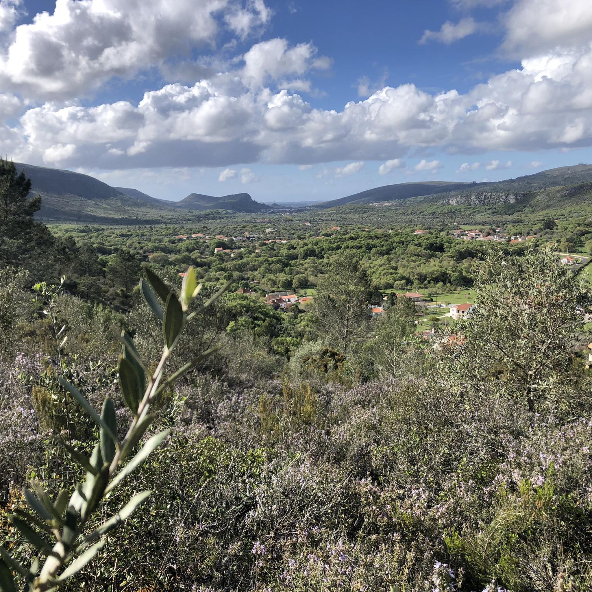
The view from here over Cabeço da Fórnea and its valley is simply breathtaking. The climb to the top is very accessible and definitely worth the effort.
2
0

The Fórnea Waterfall is located right in the heart of the Serras de Aire e Candeeiros Natural Park, and is fed by the Fórnea Stream, which in turn flows from the Cova da Velha cave.
2
0
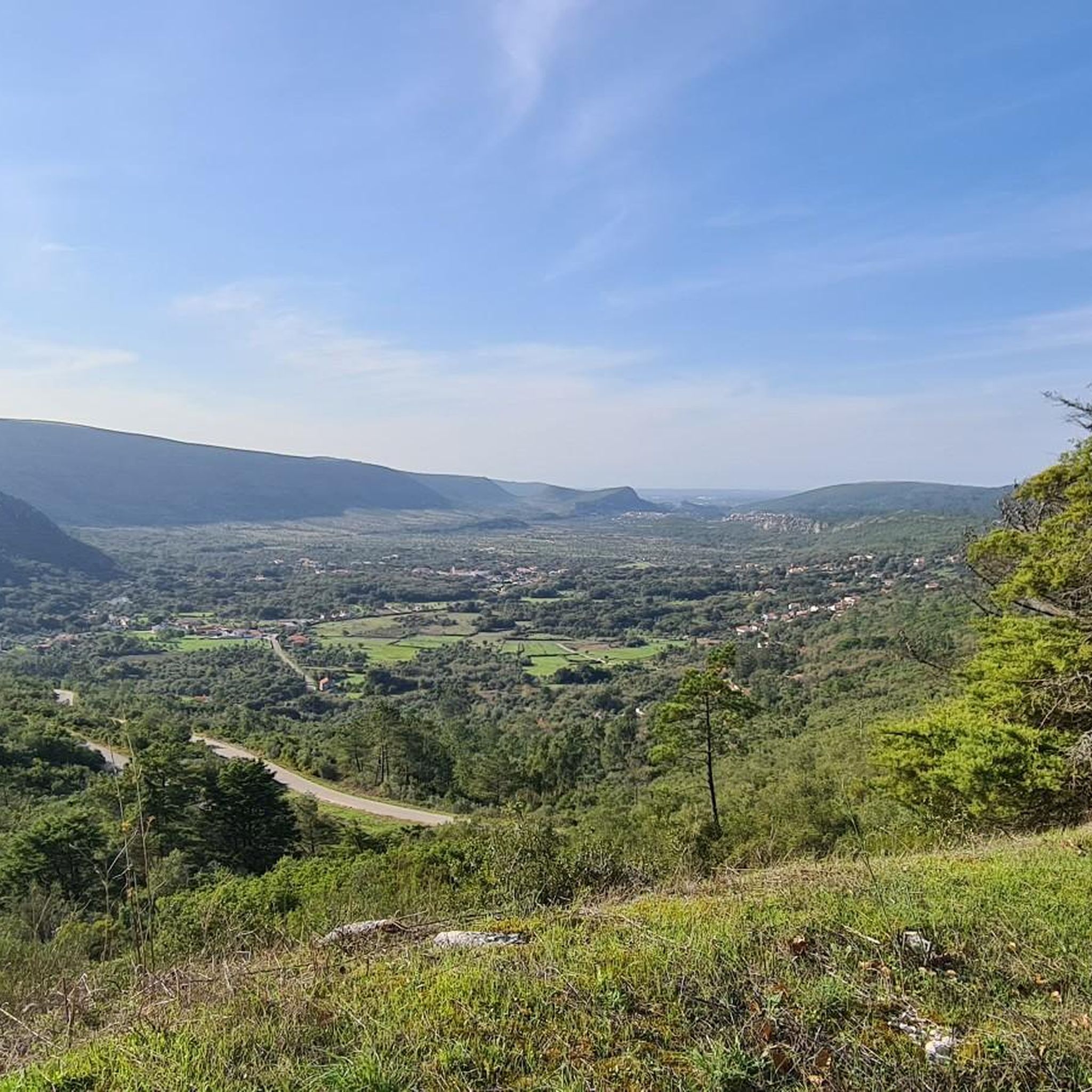
La Fórnea is one of the largest natural amphitheatres in Europe, measuring approximately 500 metres in diameter and 250 metres high. From the Alcaria viewpoint, you can admire this unique geological formation, which resembles a huge crater. The view is simply breathtaking.
1
0

Nice quiet route. No water at the waterfall, unfortunately. Because that would give a different experience, certainly worth it for the beautiful views
0
0

Frequently Asked Questions
How many hiking trails are available in Serra De Santo António?
Serra De Santo António offers a diverse network of over 40 hiking trails. These routes cater to various fitness levels, from easy walks to more challenging paths with significant elevation gains, all set within the unique karstic landscape of the Serra de Aire e Candeeiros Nature Park.
What kind of terrain should I expect on hikes in Serra De Santo António?
The terrain in Serra De Santo António is characterized by its distinctive karstic landscape. You'll encounter dramatic limestone ridges, dolines, and exposed rock formations. Many paths feature dry surfaces, and you'll see traditional dry stone walls, olive groves, and a variety of wildflowers. Some trails may also lead through eucalyptus forests.
Are there easy hiking trails suitable for beginners or families?
Yes, Serra De Santo António has 9 easy hiking trails, making it suitable for beginners or families looking for a more relaxed outdoor experience. These routes often provide pleasant areas for picnics and exploration, such as the Pia do Urso Sensory Ecopark.
Can I find circular hiking routes in Serra De Santo António?
Yes, many of the trails in Serra De Santo António are designed as loops. For example, the Fórnea Viewpoint – Fórnea Summit loop from Alvados e Alcaria is a popular moderate option, and the Hiking loop from Alvados e Alcaria also offers a varied circular experience.
What natural features or landmarks can I see along the hiking trails?
Hikers can discover a wealth of natural features and landmarks. The region is known for its impressive cave systems, such as the Gruta de Santo António. You can also visit the scenic Fórnea Waterfall, explore the unique rock formations at the Pia do Urso Sensory Ecopark, or enjoy panoramic views from limestone ridges that can extend to the Atlantic Ocean on clear days.
What do other hikers enjoy most about hiking in Serra De Santo António?
The area is highly rated by the komoot community, with an average score of 4.5 stars from over 200 reviews. Hikers frequently praise the unique karstic landscapes, the diverse natural features, and the well-marked trails that offer a blend of scenic beauty and geological exploration.
Is Serra De Santo António suitable for dog-friendly hiking?
The Serra de Aire e Candeeiros Nature Park, where Serra De Santo António is located, generally welcomes dogs. However, it's always recommended to keep your dog on a leash to protect local wildlife and ensure a pleasant experience for all hikers. Specific rules may apply in certain protected areas, so check local signage.
What is the best time of year to go hiking in Serra De Santo António?
The best time to hike in Serra De Santo António is typically during spring (March to May) and autumn (September to November). During these seasons, the weather is milder, and the natural landscape is vibrant with wildflowers or autumn colors. Summer can be very hot, making early morning or late afternoon hikes preferable, while winter can bring cooler temperatures and occasional rain.
Are there any specific permits required for hiking in Serra De Santo António?
Generally, no specific permits are required for hiking on the established trails within the Serra de Aire e Candeeiros Nature Park. However, it's always advisable to respect park regulations, stay on marked paths, and be mindful of any local restrictions, especially concerning fire or protected areas.
How can I access the hiking trails in Serra De Santo António by public transport or car?
Access to Serra De Santo António is primarily by car, with various trailheads offering parking facilities. While public transport options directly to specific trailheads might be limited, the municipality of Alcanena serves as a gateway to the region. For detailed information on public transport to the broader Serra de Aire e Candeeiros Natural Park, it's best to consult local transport authorities.
Are there places to eat or stay near the hiking trails?
Yes, you can find local cafes, pubs, and accommodation options in nearby towns and villages such as Alcanena and Minde. These establishments offer a chance to experience authentic rural Portuguese life and provide convenient amenities for hikers exploring Serra De Santo António.
Most popular attractions around Serra De Santo António

Get inspired with the komoot mobile app


Explore more
Browse the best Hikes in other regions.
