The best cycling routes around Fazendas De Almeirim
4.0
(2)
68
riders
5
rides
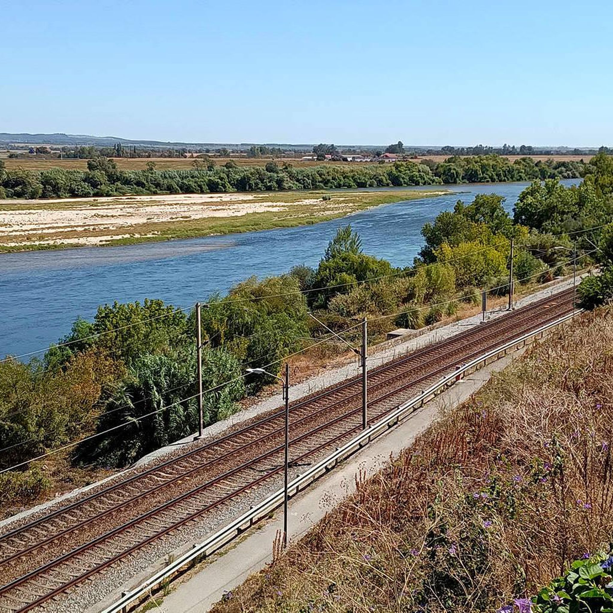
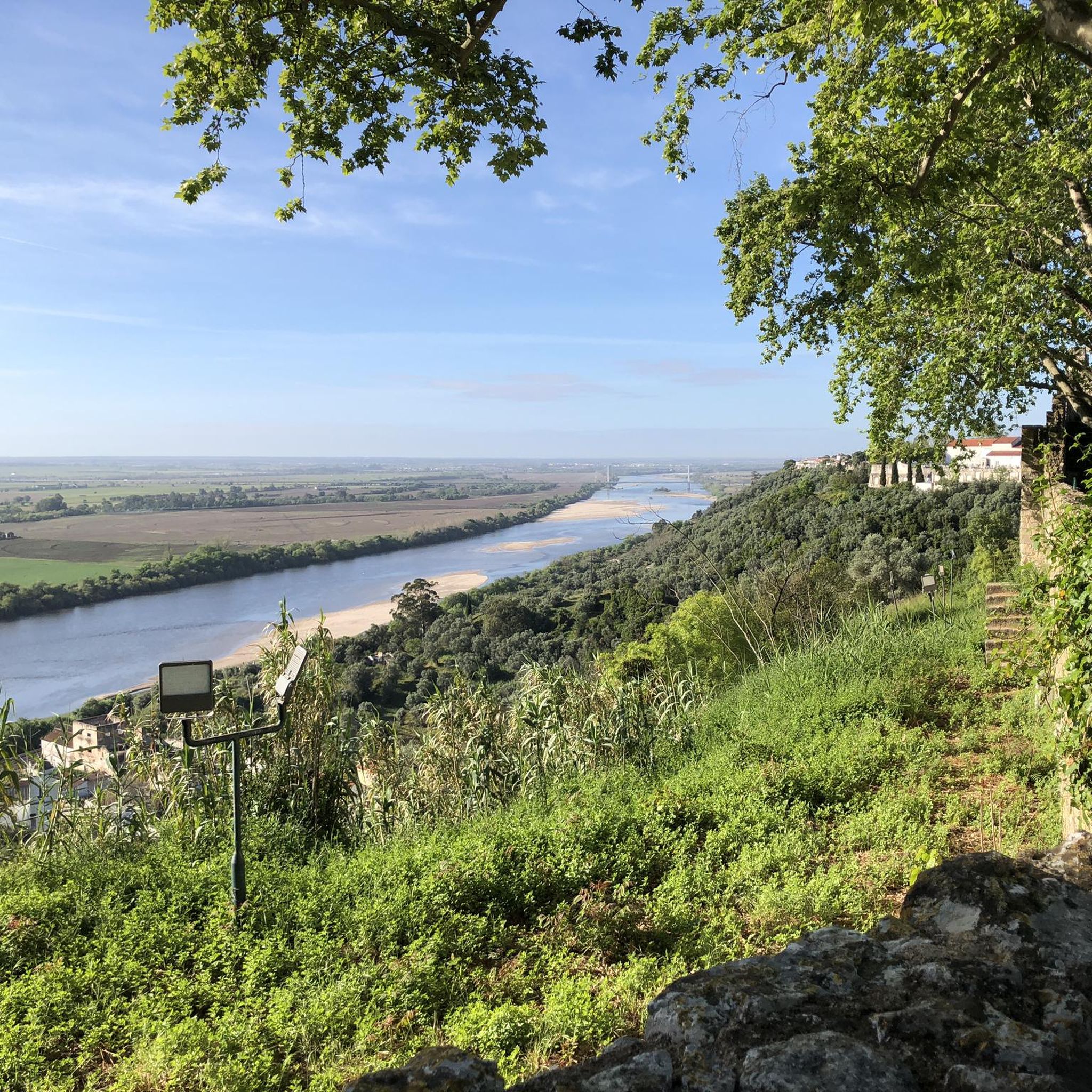
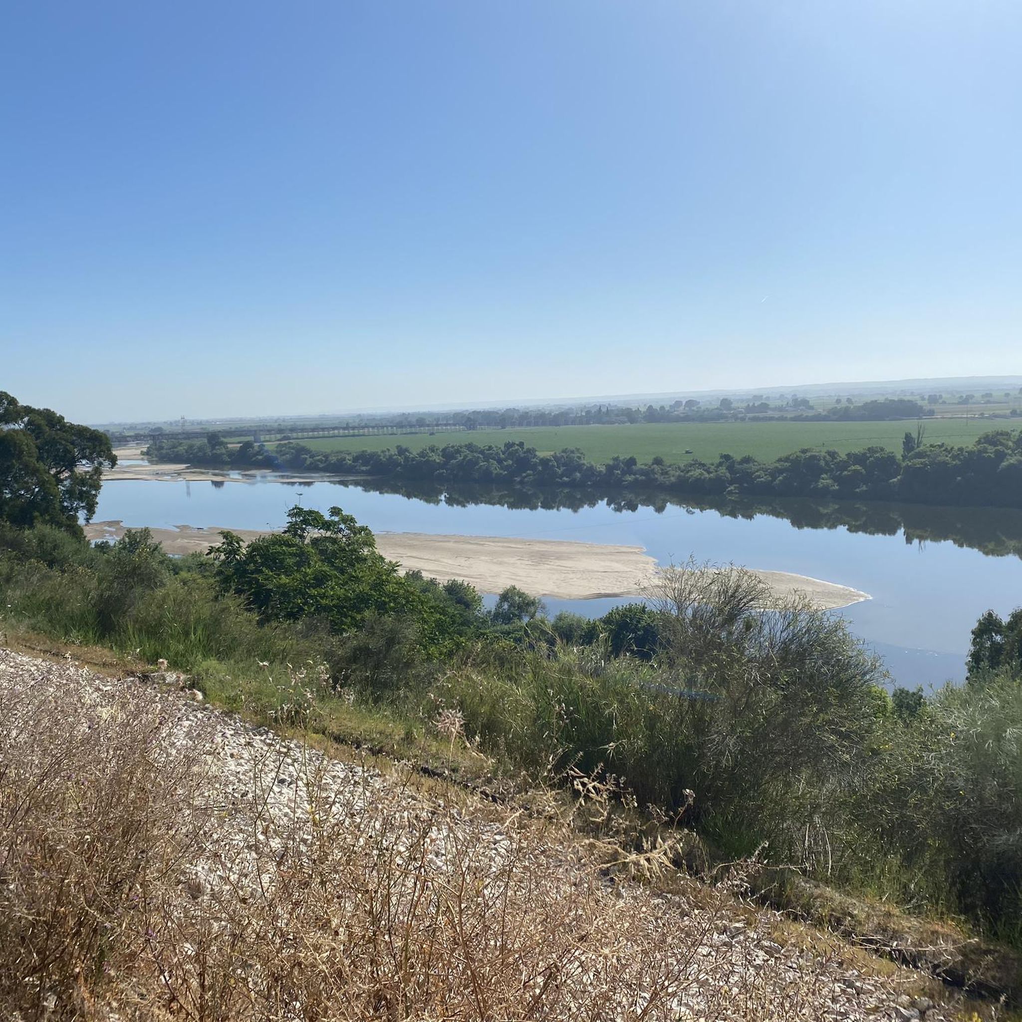
Touring cycling around Fazendas De Almeirim offers routes through the serene Ribatejo region of Portugal. The area is characterized by predominantly flat, fertile plains alongside the Tagus River, with an average altitude of 55 meters, making it well-suited for touring cycling. A developing cycling infrastructure, including dedicated bike paths, enhances the experience for cyclists exploring the rural environment. This tranquil setting provides an authentic experience of the region's natural landscapes.
Best touring cycling routes around Fazendas De Almeirim
- The most…
Last updated: July 8, 2026
16
riders
49.6km
03:50
280m
280m
Moderate bike ride. Good fitness required. Mostly paved surfaces. Suitable for all skill levels.
9
riders
39.9km
03:01
480m
480m
Hard bike ride. Very good fitness required. Mostly paved surfaces. Suitable for all skill levels.

Sign up for free
3.0
(1)
5
riders
44.1km
02:38
220m
220m
Moderate bike ride. Good fitness required. Mostly paved surfaces. Suitable for all skill levels.
9
riders
47.3km
03:53
710m
710m
Hard bike ride. Very good fitness required. Mostly paved surfaces. Suitable for all skill levels.
6
riders
Moderate bike ride. Good fitness required. Mostly paved surfaces. Suitable for all skill levels.
Our route recommendations are based on thousands of hikes, rides, and runs completed by other people on komoot.
Start today with a free account
Your next adventure awaits.
Login or Signup

Tips from the Community

Ride on the path dedicated for bikes. The road isn’t suitable for bikes, rough and slippery.
1
0


Watch out it can be slippery
1
0

The village of Valada is a Portuguese town, located in the municipality of Cartaxo, district of Santarém, Ribatejo region. Here is some information: General Data 1. Population (2021): 1,434 inhabitants. 2. Area: 11.2 km². 3. Population density: 128 inhabitants/km². 4. Altitude: 20-30 meters above sea level.
2
0
The village of Valada is a small Portuguese town, located in the municipality of Cartaxo, district of Santarém, in the Ribatejo region. Here is some information: Characteristics 1. Population: Around 1,500 inhabitants. 2. Area: 11.2 km². 3. Population density: 134 inhabitants/km². 4. Altitude: 20-30 meters above sea level. History 1. Origins: Possibly founded by the Romans. 2. 12th century: Part of the municipality of Cartaxo. 3. 15th century: Agricultural and livestock development. Points of interest 1. Igreja Matriz de Nossa Senhora da Conceição (18th century). 2. Capela de São Sebastião. 3. Fonte do Castelo (historical monument). 4. Praia Fluvial de Valada (river Tagus). 5. Walking and cycling trails. Activities 1. Agriculture (cereals, fruit and vegetables). 2. Livestock farming (cattle, pigs and poultry). 3. River fishing. 4. Rural tourism. 5. Cultural and religious events. Accessibility 1. Located 10 km from Cartaxo. 2. Access via the EN365 national road. 3. Public transport: buses. 4. Nearest train station: Cartaxo.
4
0

From here I went to Lisbon Oriente. Bicycles are taken free of charge. My slow train got quite full. The last picture shows the modern Lisbon Oriente train station.
1
0

This trail is also part of the Portuguese Way of Santiago, so it is common to find pilgrims walking it.
2
0

The most impressive building in the city and also the backdrop to the city's central square. This is where the community meets and there are cafes and a tavern.
25
2
Frequently Asked Questions
How many touring cycling routes are available around Fazendas De Almeirim?
There are currently 6 touring cycling routes listed on komoot for the Fazendas De Almeirim area. These routes offer a variety of experiences, from easy rides to more challenging excursions through the Ribatejo region.
What kind of terrain can I expect on touring cycling routes in Fazendas De Almeirim?
The terrain around Fazendas De Almeirim is predominantly flat, characterized by fertile plains alongside the Tagus River, with an average altitude of 55 meters. This makes it ideal for touring cycling, offering relatively gentle and scenic rides. While generally flat, some routes do include moderate elevation changes, such as the Santarém Train Station – View of the Tagus River loop from Santarém, which features over 690 meters of ascent.
Are there any family-friendly touring cycling routes in Fazendas De Almeirim?
Yes, the generally flat topography of Fazendas De Almeirim makes it suitable for family-friendly cycling. While specific 'easy' routes are fewer, the area's developing cycling infrastructure, including dedicated bike paths, provides a safer and more enjoyable experience for all ages. One easy route is available, and many moderate routes can be adapted for families depending on their experience.
What are some notable landmarks or viewpoints I can visit while cycling in the area?
Cyclists can discover several interesting landmarks and viewpoints. The historic Ponte D. Luís I of Santarém, an impressive iron bridge, is accessible or viewable on longer excursions. Within Santarém, you might also pass by the Cathedral of Santarém or enjoy views from Jardim das Portas do Sol. For a unique local experience, the Balanço dos Gagos (Gagos Swing) in Marianos offers a scenic viewpoint for contemplation.
Are there circular touring cycling routes available?
Yes, many of the touring cycling routes around Fazendas De Almeirim are designed as loops, allowing you to start and end at the same point. Examples include the popular Sá da Bandeira Square – Valada Village loop from Santarém and the Ponte Rainha D. Amélia – Ponte Rainha D. Amélia loop from Santarém, which explores the Tagus River landscape.
What is the best time of year to go touring cycling in Fazendas De Almeirim?
The Ribatejo region generally offers pleasant cycling conditions for much of the year. Spring and autumn are often ideal, with milder temperatures and beautiful scenery. Summers can be warm, so early morning or late afternoon rides are recommended during peak season. Winters are typically mild, making cycling possible, though occasional rain may occur.
What do other touring cyclists say about the routes in Fazendas De Almeirim?
The touring cycling routes in Fazendas De Almeirim are highly rated by the komoot community, with an average score of 4.0 stars. Cyclists often appreciate the peaceful rural settings, the authentic experience of the Ribatejo region, and the developing network of bike paths that enhance the riding experience.
Are there any challenging routes for experienced touring cyclists?
Yes, for those seeking a more challenging ride, there are difficult-grade routes available. The View of Almeirim Landscape – Azoia de Cima Viewpoint loop from Santarém, for instance, covers nearly 40 km with significant elevation gain, offering a robust workout and rewarding views.
Is there a dedicated cycling infrastructure in Fazendas De Almeirim?
Fazendas De Almeirim is actively developing its cycling infrastructure. The first bike path in Almeirim connects Almeirim to Fazendas De Almeirim, and there are plans to link it to other municipal bike paths, including Urban Circular routes. This ongoing development aims to create a more comprehensive and cyclist-friendly network.
Can I find routes that pass through or near towns and villages?
Many routes in the area connect or pass near local towns and villages, offering opportunities to experience the rural charm of the Ribatejo region. For example, the "Estou no trabalho" cafe ("I'm at work" cafe!) – Gravosfera loop from Almeirim starts from Almeirim, providing access to local amenities.
What is the longest touring cycling route available in this guide?
The longest touring cycling route featured in this guide is the "Estou no trabalho" cafe ("I'm at work" cafe!) – Gravosfera loop from Almeirim, which spans approximately 54.1 kilometers (33.6 miles) and is typically completed in about 3 hours and 23 minutes.
Are there routes suitable for beginners?
Yes, there is at least one easy-grade touring cycling route available, making the area accessible for beginners or those preferring a relaxed ride. The generally flat landscape of the Tagus River plains is well-suited for less experienced cyclists.
Most popular routes around Fazendas De Almeirim
Most popular attractions around Fazendas De Almeirim

Get inspired with the komoot mobile app


Explore more
Browse the best Cycling routes in other regions.
