The best walks and hikes around Samora Correia
4.3
(37)
295
hikers
7
hikes
Hiking around Samora Correia offers diverse landscapes within the municipality of Benavente. The region is characterized by its proximity to the Tagus Estuary Nature Reserve, featuring extensive wetlands, sandbanks, and cork oak forests. The terrain is generally flat, with minimal elevation changes, and includes areas of Montado landscapes. The Sorraia River also contributes to the natural features of the area.
Best hiking trails around Samora Correia
- The most popular hiking route is Viewpoint Over the Lagoon loop from Centro de…
Last updated: June 27, 2026
5.0
(2)
18
hikers
Easy hike. Great for any fitness level. Easily-accessible paths. Suitable for all skill levels.
16
hikers
4.03km
01:01
0m
0m
Easy hike. Great for any fitness level. Easily-accessible paths. Suitable for all skill levels.

Sign up for free
5.0
(4)
9
hikers
8.70km
02:14
40m
40m
Moderate hike. Good fitness required. Easily-accessible paths. Suitable for all skill levels.
3.0
(1)
10
hikers
22.5km
05:42
50m
50m
Hard hike. Very good fitness required. Easily-accessible paths. Suitable for all skill levels.
3.0
(1)
10
hikers
23.1km
05:52
50m
50m
Hard hike. Very good fitness required. Easily-accessible paths. Suitable for all skill levels.
Get access to more routes and recommendations from other explorers.
Sign up for free
Already have an account?
Our route recommendations are based on thousands of hikes, rides, and runs completed by other people on komoot.
Start today with a free account
Your next adventure awaits.
Login or Signup
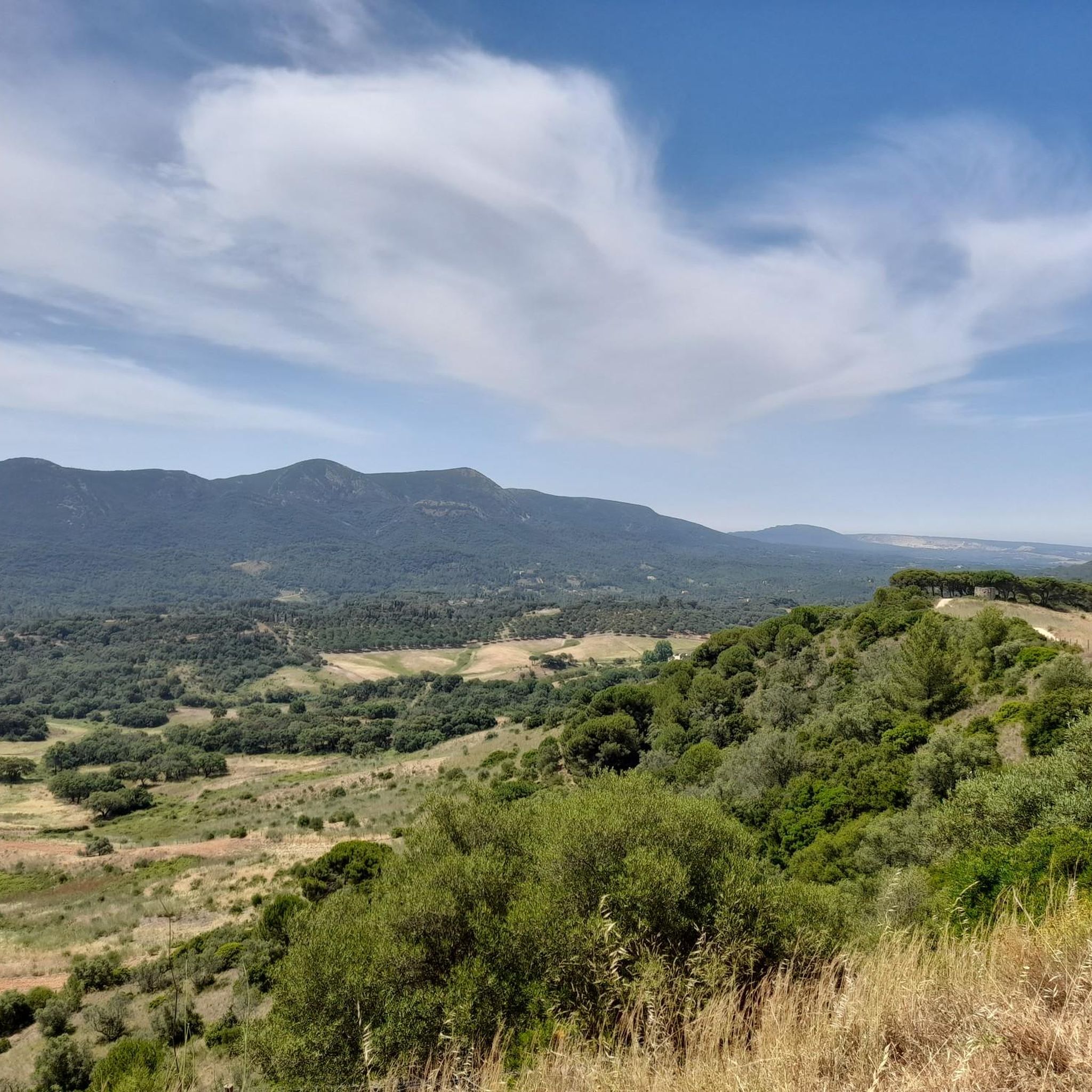
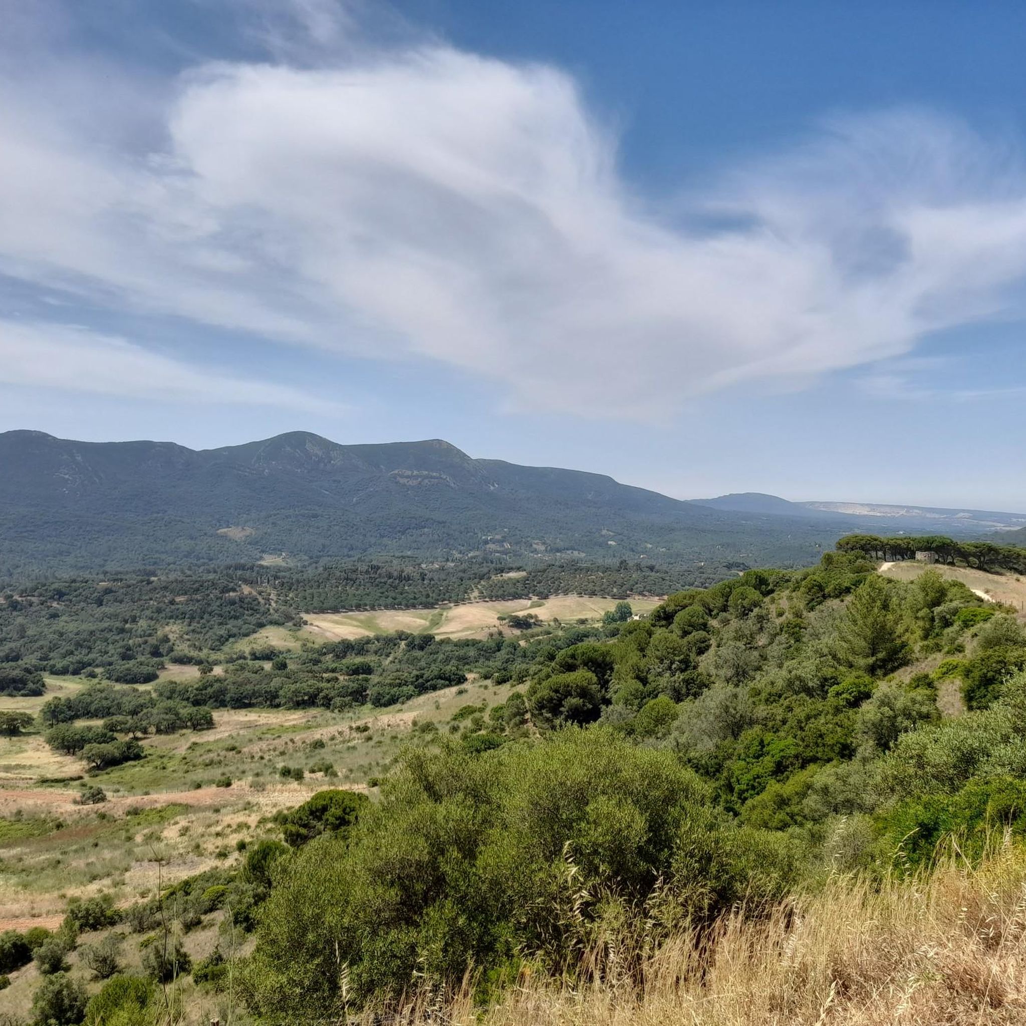
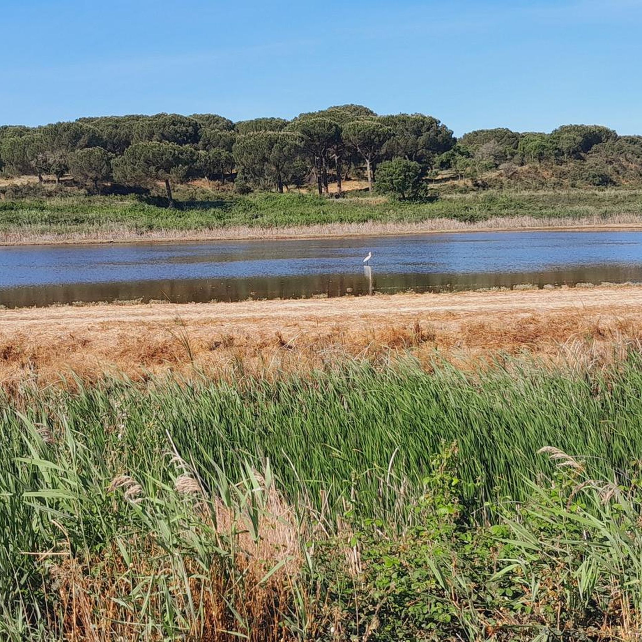
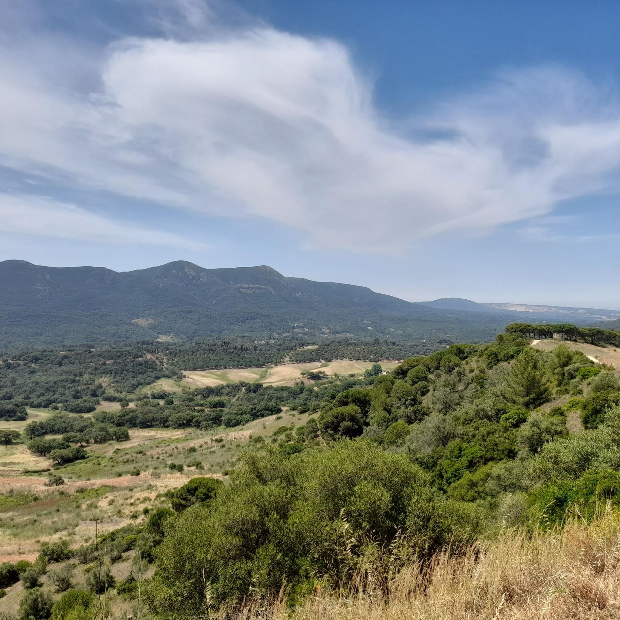
Tips from the Community

Manuel I, the Fortunate (1469-1521), was King of Portugal and the Algarves between 1495 and 1521, a period of great voyages and discoveries, including the arrival of India and Brazil. Manuel, known as the Fortunate, was born in Alcochete, Portugal, on May 31, 1469. Son of Ferdinand, Duke of Beja, and Beatriz, he was the grandson of King Duarte I, who reigned from 1433 to 1438. On October 25, 1495, Manuel became the fifth king of the Aviz dynasty and the fourteenth king of Portugal, succeeding King John II, who, after the death of his son, Afonso, named Manuel, brother of his wife, Leonor of Lancaster, as his successor.
2
0
The three cod drying areas of Alcochete have been closed and abandoned for over four decades. With one exception, the land was sold to companies whose activities have nothing to do with curing or selling the "faithful friend." Since the municipality was interested in the added value of future businesses, the local Master Plan (PDM) began in 1997 to allow these spaces to be used for tourism and leisure activities. There are already plans to build hotels.
10
0
This was a former cod factory founded in the 1950s, ‘Seca do Bacalhau’ meaning ‘Dry of Cod’ in Portuguese. It’s a large site with a lighthouse, water tower, fish farming area, and living quarters for the workers. There was a documentary made of the women workers who worked there, mostly in slave like conditions (As raparigas da Murtosa e a seca do bacalhau). It’s quite a sad site really knowing the history. The site was heavily vandalised and open to explore, I didn’t dare to go up the inside of the lighthouse though. It’s the scale, history and setting which make this site interesting.
10
0
A pleasant restaurant specializing in fish, where you can enjoy dishes made with fresh fish fresh from the fish market. It has a terrace overlooking the Tagus River, which, on sunny days, is a plus for its customers. Closed on Mondays. This restaurant's terrace is located on a viewpoint called "Amália," in honor of our famous fado singer.
10
0
The Samouco Salt Pans, located near Alcochete, are a natural treasure teeming with biodiversity and history. This unique ecosystem is essential for the preservation of several migratory bird species, such as the iconic flamingos, which visit the salt pans during their migration. The salt pans also play a crucial role in salt production, a traditional art dating back to Roman times. Palácio dos Pinheirinhos, Complexo das Salinas do Samouco 2890-532 Alcochete GPS Coordinates: 38°44'39.41"N; 8°58'50.80"W HOURS Monday to Sunday 8:00 AM - 5:00 PM Exceptions on Saturdays and Sundays: From October to February, the salt pans are closed for lunch from 12:30 PM to 1:30 PM. From March to September it opens 10:00-19:00 and is closed for lunch 13:30-14:30.
9
0
The municipality of Alcochete is located on the southern bank of the Tagus Estuary and is part of the Lisbon Metropolitan Area, benefiting from privileged access to the capital via the Vasco da Gama Bridge, as well as access to the North Motorway, IC 32 and the connection to the A2. The name Alcochete derives from the Arabic word “Alcaxete”, which means “oven”, an allusion to the riches resulting from the combustion of the wood abundant in the pine forests of this region. Human presence dates back to prehistoric times to ancient times, a fact proven by the archaeological remains found. Economic activity linked to fishing, river navigation and salt production was, at one time, the main driving force behind the municipality’s economic development. With the decreasing development, from the mid-20th century onwards, of road connections and the loss of economic importance of the River Tagus as a means of communication, these activities began to decline. Its proximity to the Tagus Estuary Nature Reserve, considered one of the most important wintering areas in Europe for several species of water birds, makes it an important place to visit and is, in itself, an attraction for nature lovers. In addition to its rich landscape, Alcochete has a fascinating cultural heritage. The Festa do Barrete Verde and das Salinas, held annually in August, is one of its highlights, as it pays tribute to the forcado, the campino and the salineiro, illustrious figures who make up the identity of the municipality.
12
0
he delightful old town of Alcochete is located on the south bank of the River Tagus, in close proximity to the Tagus Estuary Nature Reserve. The ideal day-trip destination for visitors staying in Lisbon, its foundation dates right back to the 7th century after the Moors conquered Lisbon and its name derives from the Arabic word for kiln, as several have been found in the local area. The journey across the river is a delightful one, running past some of the older parts of the capital such as the Alfama before heading off into the great Tagus river basin. The ferry arrives in Montijo, followed by a 5-kilometre bus or taxi ride north to Alcochete. Evidence of human occupation in Alcochete and its environs dates back to the lower Paleolithic period, while the Roman presence in the area mostly extended along the banks of Ribeira das Enguias where traces of several ancient potteries exist, most notably at Porto dos Cacos in Herdade de Rio Frio where the production of amphorae (ceramic containers used to pack and transport fish preserves) have been unearthed. Alcochete was an important royal retreat, with both King João I and King João II spending long periods here for rest and relaxation. More importantly, King Manuel I (creator of the Manueline architectural style) was born here and in 1515 (twenty years into his reign) he granted Alcochete its town charter at a time when Lisbon and was beginning to prosper during Portugal’s great Age of Discovery. Founded in the mid-16th century, the Church of the Misericórdia was part of the palace where King Manuel I was born on the 1st of June 1469. Today, it houses the Museum of Sacred Art whose collection includes many old paintings and some rare archaeological finds.
11
0

It is the seat of the municipality of Benavente[3] with an area of 521.38 km²[4] and 29,709 inhabitants (2021),[5][6] subdivided into 4 parishes.[3] The municipality is bordered to the north by the municipality of Azambuja, to the northeast by Salvaterra de Magos, to the east by Coruche, to the southeast by the secondary area (exclave) of Montijo, to the south by Palmela and Alcochete, to the southwest by the Tagus Estuary (marshy land officially assigned to the municipality of Alcochete) and to the northwest by Vila Franca de Xira.
2
0
Frequently Asked Questions
What kind of landscapes can I expect to see on hikes around Samora Correia?
Hiking in Samora Correia offers a diverse range of natural settings. You'll encounter the extensive wetlands and sandbanks of the Tagus Estuary Nature Reserve, Portugal's largest. The region also features unique Montado landscapes with cork and holm oak trees, riverfront paths along the Sorraia River, and pleasant trails alongside irrigation canals. The terrain is generally flat, providing accessible and scenic walks.
Are there easy hiking trails suitable for beginners or casual walkers in Samora Correia?
Yes, Samora Correia has several easy hiking options. For instance, the Viewpoint Over the Lagoon loop from Centro de Interpretação do EVOA is an easy 3.5-mile trail offering views over the Tagus Estuary. Another gentle option is the Picnic Area loop from Alcochete, a 2.5-mile path through green spaces near the Tagus River.
What are the best times of year to go hiking in Samora Correia?
The region's generally mild climate makes hiking enjoyable for much of the year. Spring and autumn offer pleasant temperatures and vibrant natural scenery. Even winter can be suitable, as the terrain is mostly flat with minimal elevation changes, making it less prone to challenging conditions. Summers can be warm, so early morning or late afternoon hikes are recommended during that season.
Are there any circular hiking routes available in Samora Correia?
Yes, many of the trails in Samora Correia are designed as loops. Examples include the Viewpoint Over the Lagoon loop from Centro de Interpretação do EVOA and the Picnic Area loop from Alcochete. For a longer challenge, consider the Obelisk of Benavente loop from Samora Correia, which takes you through the rural landscape.
What attractions or points of interest can I find near the hiking trails?
While hiking, you can explore various points of interest. The Tagus Estuary itself is a major natural highlight, known for its biodiversity. You might also encounter the Alhandra Picnic Park, offering green spaces and views of the Tagus River, or the Cais da Jorna and Fishermen's Monument, providing a glimpse into local culture.
Are the hiking trails in Samora Correia suitable for families with children?
Many trails in Samora Correia are well-suited for families due to their generally flat terrain and minimal elevation changes. The parks and riverfront areas, such as those near the Tagus Estuary, offer pleasant and safe environments for walks with children. Shorter, easy loops like the Picnic Area loop from Alcochete are particularly good options.
What do other hikers enjoy most about the trails in Samora Correia?
The trails in Samora Correia are highly rated by the komoot community, with an average score of 4.3 stars from over 30 reviews. Hikers often praise the region's diverse natural settings, including the peaceful riverfront paths, the unique Montado landscapes, and the scenic views over the Tagus Estuary. The accessibility and variety of routes, from easy strolls to longer excursions, are also frequently highlighted.
Is there parking available near the trailheads in Samora Correia?
While specific parking details vary by trailhead, Samora Correia is generally accessible, and parking is typically available near popular starting points for trails and parks. For example, areas like the Centro de Interpretação do EVOA or local parks often provide designated parking facilities for visitors.
Can I bring my dog on the hiking trails in Samora Correia?
Generally, dogs are welcome on many of the outdoor trails in Samora Correia, especially in the more natural and rural areas. However, it's always advisable to keep your dog on a leash and ensure you clean up after them to respect the local environment and other hikers. Specific rules might apply in protected areas like the Tagus Estuary Nature Reserve, so check local signage.
How many hiking trails are there in Samora Correia?
There are at least 7 distinct hiking trails available around Samora Correia. These include 2 easy routes, 3 moderate routes, and 2 more challenging options, offering a good variety for different fitness levels and preferences.
Are there any longer or more challenging hikes for experienced hikers?
Yes, for those seeking a longer challenge, routes like the Obelisk of Benavente loop from Samora Correia offer a more extensive experience. This trail covers about 14 miles (22.5 km) and typically takes around 5 hours 42 minutes to complete, leading through the rural landscape with slightly more elevation gain compared to the easier routes.
Most popular attractions around Samora Correia

Get inspired with the komoot mobile app


Explore more
Browse the best Hikes in other regions.
