The best walks and hikes around São Sebastião
4.5
(23)
87
hikers
12
hikes
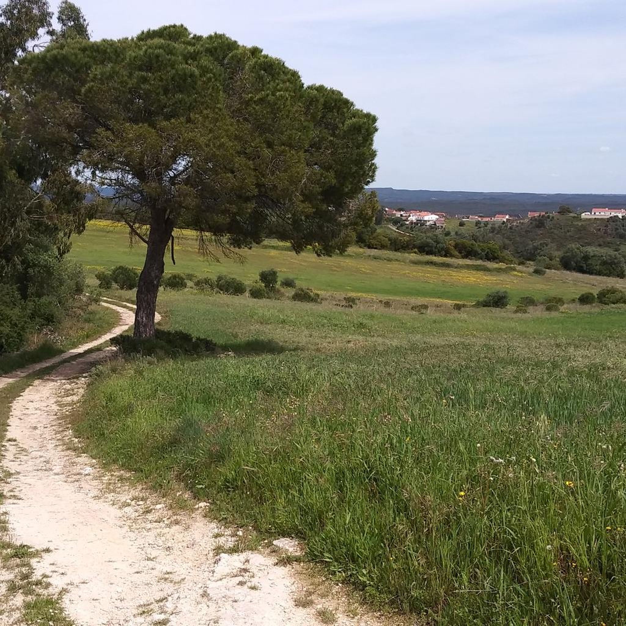
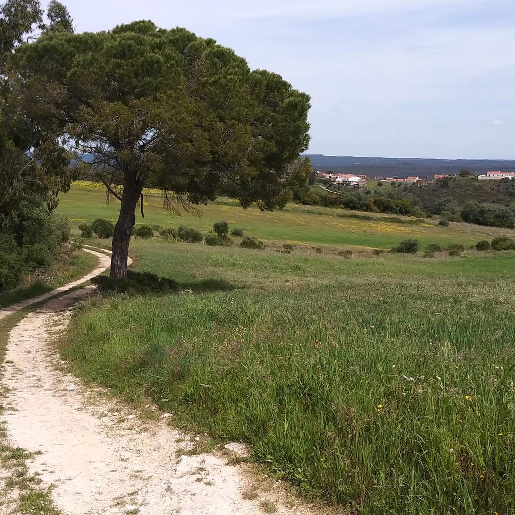
Hiking around São Sebastião offers a network of trails through varied terrain. The region features rolling hills with elevations up to 370 meters, alongside areas characterized by agricultural landscapes and natural formations. These routes often include paths near historical water mills and salt pans, providing diverse scenery for hikers. The area provides options for both moderate and more challenging hikes.
Best hiking trails around São Sebastião
- The most popular hiking route is Olho de Água de Alcobertas loop from Alcobertas…
Last updated: June 24, 2026
4.7
(3)
12
hikers
13.5km
03:58
370m
370m
Moderate hike. Good fitness required. Easily-accessible paths. Suitable for all skill levels.
4.0
(1)
11
hikers
7.92km
02:22
220m
220m
Moderate hike. Good fitness required. Mostly accessible paths. Sure-footedness required.

Sign up for free
4.0
(3)
7
hikers
7.81km
02:11
150m
150m
Moderate hike. Good fitness required. Easily-accessible paths. Suitable for all skill levels.
4.0
(2)
11
hikers
6.79km
01:45
30m
30m
Easy hike. Great for any fitness level. Easily-accessible paths. Suitable for all skill levels.
5.0
(1)
6
hikers
Moderate hike. Good fitness required. Easily-accessible paths. Suitable for all skill levels.
Get access to more routes and recommendations from other explorers.
Sign up for free
Already have an account?
Our route recommendations are based on thousands of hikes, rides, and runs completed by other people on komoot.
Start today with a free account
Your next adventure awaits.
Login or Signup
Tips from the Community

Salt is extracted from shallow, concrete or stone pans of varying sizes, where saltwater drawn from a well is conveyed through ditches. Currently, the water is pumped by a motor and distributed according to a system that is generally accepted and respected (not always) by all the owners. Drainpipes, threshing floors, and wooden salt storage houses complete the complex known as the Rio Maior Salt Pans. According to technicians, a large and deep rock salt mine, traversed by an underground stream that feeds a well, makes the extracted water salty, seven times saltier than seawater. The salt is obtained from its exposure to the sun and wind, and the resulting evaporation of the water. This salt is deposited at the bottom of the pans, which are then piled up in pyramid-shaped heaps to dry until harvest. The process is rudimentary and similar to that used in seaside salt mines. The only difference is the picturesque valley that surrounds them, the well, the unique style of the sailors (as the men who work in the salt mines are known), the wooden houses and the country air that you breathe.
0
0

Just three kilometres from Rio Maior, on the southern tip of the Serra dos Candeeiros, lie the only inland salt pans in Portugal, and the only ones still active in the whole of Europe. Surrounded by vineyards and cultivated fields, they are a true wonder of nature, as the sea is 30 kilometres away. Their history dates back to at least 1177, but it is said that rock salt has been mined since prehistoric times. The water, seven times saltier than that of the ocean, emerges from a well after passing through an underground deposit, leaving behind the pure vestige of an ancient sea.
1
0
The Rio Maior Salt Pans are located about 3 km from the city centre and are nestled in a valley at the foot of the Serra dos Candeeiros, in the heart of the Serras de Aire e Candeeiros Natural Park. Classified as a Property of Public Interest since December 1997, these are the only inland salt pans in Portugal, and the only ones in full operation in Europe. The first reference to their existence dates back to 1177, but it is thought that the use of rock salt was already being made in prehistoric times.
2
0

The Rio Maior Salt Pans are located about 3 km from the city center and nestled in a valley at the foot of the Serra dos Candeeiros, in the heart of the Serras de Aire e Candeeiros Natural Park. Classified as a Property of Public Interest since December 1997, these are the only inland salt pans in Portugal, and the only ones fully operational in Europe. The first reference to their existence dates back to 1177, but it is thought that rock salt mining has been practiced since prehistoric times. Surrounded by vineyards and farmland, they are considered a natural wonder, as the ocean is 30 km away. The salt is a vestige of the sea's presence in ancient times. The water, about seven times saltier than seawater, comes from a well after passing through a rock salt deposit. Visit the Salinas Tourist Office for information, maps, and guided tours. How to Get There: Latitude +39° 21' 52.57, Longitude -8° 56' 40.62
0
0
Frequently Asked Questions
How many hiking trails are available in São Sebastião?
There are over 10 hiking trails around São Sebastião, offering a variety of experiences through rolling hills, agricultural areas, and historical sites.
Are there easy hiking trails suitable for beginners in São Sebastião?
Yes, São Sebastião offers 3 easy hiking routes. These trails are generally shorter and have less elevation gain, making them ideal for those new to hiking or looking for a relaxed walk.
What kind of terrain can I expect on hikes around São Sebastião?
The terrain around São Sebastião is characterized by rolling hills, with elevations reaching up to 370 meters. You'll encounter agricultural landscapes, paths near historical water mills, and natural formations, providing diverse scenery.
Are there any challenging hikes in São Sebastião?
Yes, for those seeking a more demanding experience, there is 1 difficult hiking route available. An example is the Alcobertas Cave – Chãos Cave loop from Alcobertas, which covers 4.7 km with significant elevation changes.
Are there circular hiking routes in São Sebastião?
Many of the trails in São Sebastião are circular, allowing you to start and end at the same point. For instance, the Olho de Água de Alcobertas loop from Alcobertas is a popular circular route.
What are some interesting landmarks or attractions I can see near the hiking trails?
While hiking, you can explore several interesting sites. Consider visiting the Rio Maior Salt Pans, the historic Assentiz Roman Bridge, or the impressive Serra dos Candeeiros Wind Farm. The Alcanede Castle is also a notable nearby attraction.
What do other hikers enjoy most about hiking in São Sebastião?
The hiking trails in São Sebastião are highly rated by the komoot community, with an average score of 4.6 stars. Hikers often praise the varied terrain, the presence of historical sites like old water mills, and the natural beauty of the agricultural landscapes.
Are there any routes that pass by historical water mills?
Yes, the region is known for its historical water mills. The Old Water Mill – Abandoned Mill loop from Rio Maior is a specific trail that leads through areas featuring these historical structures.
What is the best time of year to go hiking in São Sebastião?
The best time for hiking in São Sebastião is typically during the spring (April-May) and autumn (September-October) months. The weather is generally milder and more pleasant for outdoor activities, avoiding the heat of summer and potential winter rains.
Are there any trails that offer views of the Rio Maior Salt Pans?
Yes, the Cineteatro de Rio Maior – Salinas de Rio Maior loop from Rio Maior is a moderate trail that explores the surroundings of Rio Maior, including areas near the famous Rio Maior Salt Pans.
What kind of flora and fauna can I expect to see on the trails?
The agricultural landscapes and natural formations around São Sebastião support diverse flora and fauna. You can expect to see typical Mediterranean vegetation, various bird species, and small mammals, especially in the less disturbed areas.
Most popular attractions around São Sebastião

Get inspired with the komoot mobile app


Explore more
Browse the best Hikes in other regions.
