The best cycling routes around Salvaterra De Magos
4.5
(58)
132
riders
31
rides
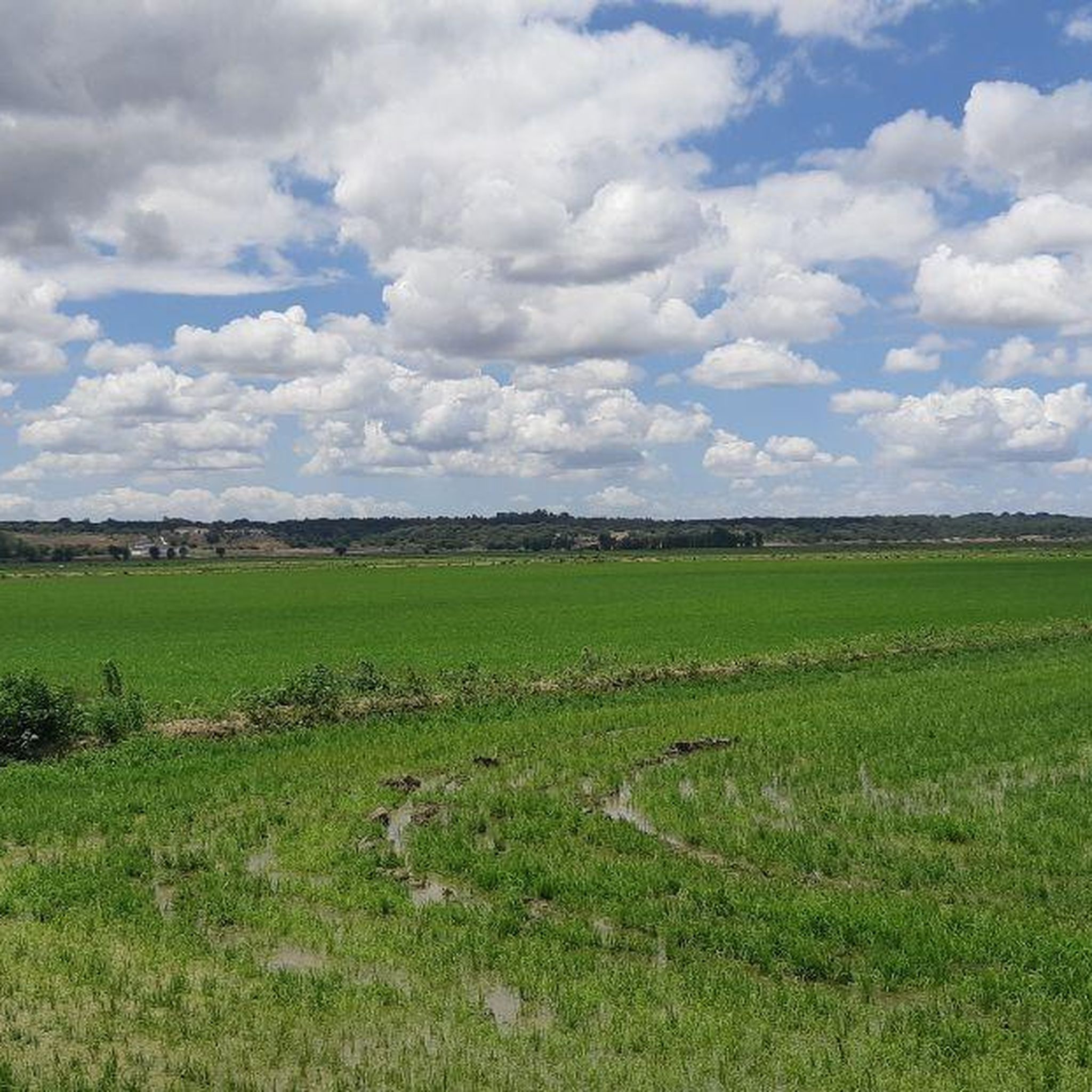
Touring cycling routes around Salvaterra De Magos are characterized by a predominantly flat landscape, shaped by the Tagus River and its tributaries, such as the Sorraia. The region features extensive agricultural plains, riverine areas, and small villages connected by a network of roads suitable for cycling. Elevation changes are minimal, making it an accessible area for various cycling abilities.
Best touring cycling routes around Salvaterra De Magos
- The most popular touring cycling route is Valada Village – River Beach of…
Last updated: September 1, 2026
4.7
(3)
10
riders
26.2km
01:31
100m
100m
Easy bike ride. Great for any fitness level. Mostly paved surfaces. Suitable for all skill levels.
3.8
(13)
10
riders
34.3km
02:20
80m
80m
Moderate bike ride. Good fitness required. Mostly paved surfaces. Suitable for all skill levels.

Sign up for free
3.0
(1)
10
riders
46.5km
03:02
90m
90m
Moderate bike ride. Good fitness required. Mostly paved surfaces. Suitable for all skill levels.
5.0
(1)
6
riders
33.4km
02:12
140m
140m
Moderate bike ride. Good fitness required. Mostly paved surfaces. Suitable for all skill levels.
3.8
(13)
4
riders
20.6km
01:41
40m
40m
Easy bike ride. Great for any fitness level. Mostly paved surfaces. Suitable for all skill levels.
Get access to more routes and recommendations from other explorers.
Sign up for free
Already have an account?
Our route recommendations are based on thousands of hikes, rides, and runs completed by other people on komoot.
Start today with a free account
Your next adventure awaits.
Login or Signup
Popular around Salvaterra De Magos

Tips from the Community

Ride on the path dedicated for bikes. The road isn’t suitable for bikes, rough and slippery.
1
0

A very pleasant route, always along the banks of the Sorraia Canal. It's generally popular with cyclists, but it's still peaceful and uncrowded.
0
0


Watch out it can be slippery
1
0


The village of Valada is a Portuguese town, located in the municipality of Cartaxo, district of Santarém, Ribatejo region. Here is some information: General Data 1. Population (2021): 1,434 inhabitants. 2. Area: 11.2 km². 3. Population density: 128 inhabitants/km². 4. Altitude: 20-30 meters above sea level.
2
0
The village of Valada is a small Portuguese town, located in the municipality of Cartaxo, district of Santarém, in the Ribatejo region. Here is some information: Characteristics 1. Population: Around 1,500 inhabitants. 2. Area: 11.2 km². 3. Population density: 134 inhabitants/km². 4. Altitude: 20-30 meters above sea level. History 1. Origins: Possibly founded by the Romans. 2. 12th century: Part of the municipality of Cartaxo. 3. 15th century: Agricultural and livestock development. Points of interest 1. Igreja Matriz de Nossa Senhora da Conceição (18th century). 2. Capela de São Sebastião. 3. Fonte do Castelo (historical monument). 4. Praia Fluvial de Valada (river Tagus). 5. Walking and cycling trails. Activities 1. Agriculture (cereals, fruit and vegetables). 2. Livestock farming (cattle, pigs and poultry). 3. River fishing. 4. Rural tourism. 5. Cultural and religious events. Accessibility 1. Located 10 km from Cartaxo. 2. Access via the EN365 national road. 3. Public transport: buses. 4. Nearest train station: Cartaxo.
4
0
Escaroupim is a typical fishing village, formed in the mid-1930s by fishermen from Praia da Vieira (Marinha Grande), who came to the Tagus every season to fish in the winter, especially for shad, seeking sustenance for their large families in the Tagus, a Tagus rich in fish, returning to Praia da Vieira in the summer. Many of these fishermen stayed on the banks of the river, no longer going to Praia da Vieira, and thus formed small fishing villages. In these villages, the houses are made of wood, painted in bright colours and supported by stilts, so as to be protected from frequent floods. Source: Municipality of Salvaterra de Magos
1
0
Frequently Asked Questions
What kind of terrain can I expect when touring cycling around Salvaterra De Magos?
The region of Salvaterra De Magos is characterized by a predominantly flat landscape, shaped by the Tagus River and its tributaries. You'll find extensive agricultural plains, riverine areas, and small villages connected by a network of roads. Elevation changes are minimal, making it an accessible area for various cycling abilities.
How many touring cycling routes are available in Salvaterra De Magos?
There are over 30 touring cycling routes in Salvaterra De Magos, offering a diverse range of experiences for cyclists of all levels.
Are there any easy or beginner-friendly touring cycling routes?
Yes, Salvaterra De Magos offers several easy routes perfect for beginners or those seeking a relaxed ride. One such route is the River Beach of Valada – Valada and the river loop from Valada, which is 16.4 miles (26.4 km) long and takes about 1 hour 32 minutes to complete.
What are some of the longer touring cycling routes in the area?
For those looking for a longer ride, the Ponte Rainha D. Amélia – Ponte Rainha D. Amélia loop from Reguengo - Vale da Pedra - Pontével is a moderate 35.2 miles (56.7 km) path that explores the area around the historic bridge and surrounding countryside.
What can I see along the touring cycling routes in Salvaterra De Magos?
Many routes offer views of the Tagus and Sorraia rivers, agricultural fields, and charming villages. Notable landmarks include the historic Ponte Rainha D. Amélia and the picturesque Valada Village. You might also encounter the Roman Bridge of Muge or the unique Beira Tejo Boat in Valada.
Are there any circular touring cycling routes?
Yes, many routes in Salvaterra De Magos are designed as loops, allowing you to start and end at the same point. An example is the Rio Sorraia loop from Adega da Rosa, which offers a moderate 32.5 km ride along the river.
What is the best season for touring cycling in Salvaterra De Magos?
Given the region's flat terrain and riverine environment, spring and autumn generally offer the most pleasant cycling conditions with milder temperatures. Summer can be hot, but early mornings or late afternoons are still enjoyable. The minimal elevation changes make it suitable for cycling year-round, weather permitting.
Are there family-friendly touring cycling options?
Absolutely. The predominantly flat landscape and numerous easy routes make Salvaterra De Magos ideal for family cycling. Routes like the River Beach of Valada – Valada and the river loop from Valada are great choices for families looking for a relaxed outing.
What do other touring cyclists enjoy most about the routes here?
The touring cycling routes in Salvaterra De Magos are highly rated by the komoot community, with an average score of 4.5 stars. Cyclists often praise the quiet agricultural plains, the scenic river views, and the well-maintained paths connecting charming local villages.
Where can I find parking for my bike tour?
Many of the routes start from or pass through villages and towns where public parking is available. For specific starting points, it's advisable to check the individual route details on komoot, as they often include information about nearby parking facilities.
Are there any routes that connect different villages or points of interest?
Yes, the network of routes is designed to connect various villages and points of interest. For instance, the Ponte Rainha D. Amélia – Valada Village loop from Grupo Sugal connects the historic bridge with Valada Village, offering a journey through diverse landscapes.
Most popular routes around Salvaterra De Magos
Most popular attractions around Salvaterra De Magos

Get inspired with the komoot mobile app


Explore more
Browse the best Cycling routes in other regions.
