Top 10 Running Trails around Amiais De Baixo
4.0
(2)
269
runners
25
runs
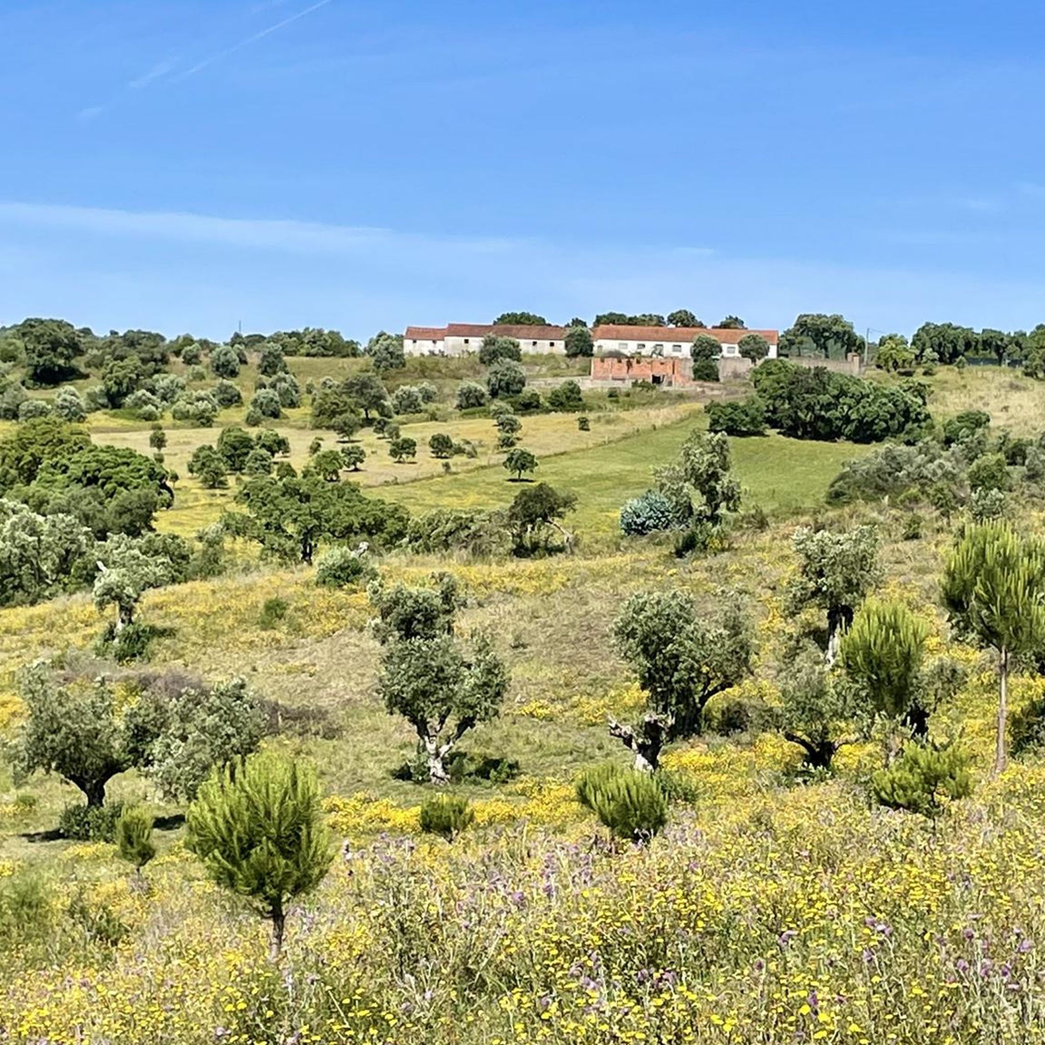
Jogging around Amiais De Baixo offers a diverse landscape for runners. The region features flatlands with gentle undulations, providing both comfortable stretches and slight challenges. Joggers can explore lush greenery and follow a network of rivers and streams, including the Alviela River. The area is characterized by an extensive trail network that caters to various outdoor activities.
Best jogging routes around Amiais De Baixo
- The most popular jogging route is Cabeça Gorda Viewpoint – Vale Garcia Ascent loop from Minde…
Last updated: June 24, 2026
29
runners
56.4km
08:07
2,470m
2,470m
Hard run. Very good fitness required. Mostly paved surfaces. Suitable for all skill levels.
25
runners
16.4km
02:14
590m
590m
Hard run. Very good fitness required. Mostly paved surfaces. Suitable for all skill levels.

Sign up for free
15
runners
18.4km
02:16
240m
240m
Hard run. Very good fitness required. Mostly accessible paths. Some sure footedness required.
13
runners
12.2km
01:36
400m
400m
Hard run. Very good fitness required. Mostly paved surfaces. Suitable for all skill levels.
8
runners
14.5km
01:47
240m
240m
Moderate run. Good fitness required. Mostly paved surfaces. Suitable for all skill levels.
Get access to more routes and recommendations from other explorers.
Sign up for free
Already have an account?
Our route recommendations are based on thousands of hikes, rides, and runs completed by other people on komoot.
Start today with a free account
Your next adventure awaits.
Login or Signup

Tips from the Community

Near the top of Cabeça Gorda, this viewpoint overlooks the Mira de Aire lagoons and the small town below. Here, a picnic area invites you to take a break: whether to stretch your legs in the sun or take shelter in the shade, depending on your body and the moment.
1
0
The Serra de Aire stands as the highest point of the Estremenho Limestone Massif, crowning its 678 metres at the geodesic vertex. Up here, the horizon opens up generously: to the south stretches the Tertiary Tagus Basin, lowered by the Arrife thrust and marked by ochre tones of sand and clay; to the west and southwest rise the Santo António plateau and the Serra dos Candeeiros. And if the sky cooperates, the view also reaches Montejunto, the sea in the distance and, to the north, the highlands of São Mamede up to Ourém and Fátima.
1
0
The Garcia Valley hides a narrow and wild trail, where the bush almost blocks the path, but that is precisely what makes it special for runners. The classic climb is a real test for the legs: 200 meters of elevation gain in just one kilometer. Short, tough and full of charm.
1
1
Frequently Asked Questions
How many running routes are available in Amiais De Baixo?
Amiais De Baixo offers a comprehensive network of over 25 running routes. These include 9 moderate and 16 difficult trails, providing options for various fitness levels and preferences.
When is the best time of year for running in Amiais De Baixo?
The best time to visit Amiais De Baixo for outdoor activities like running is during the spring and summer months, typically from April to September. The warm weather during this period is most conducive to exploring the region's natural beauty.
Are there circular running routes in Amiais De Baixo?
Yes, many of the running routes in Amiais De Baixo are circular, allowing you to start and end at the same point. Examples include the Cabeça Gorda Viewpoint – Vale Garcia Ascent loop from Minde, the Cabeço Morto – Lapa do Picareiro loop from Minde, and the Lagoa de Minde – Lagoa Larga loop from Minde.
What kind of terrain and difficulty levels can I expect on the running trails?
The terrain in Amiais De Baixo is characterized by rolling hills and gentle undulations, offering both comfortable stretches and slight challenges. While there are no easy routes listed, you'll find 9 moderate and 16 difficult trails, with varied elevations suitable for different fitness levels. The region's extensive trail network caters to both casual jogs and more rugged trail running.
Can I find running routes along water bodies or rivers?
Absolutely. Many trails in Amiais De Baixo lead through or alongside serene water bodies, rivers, and streams. The Alviela River is a significant natural asset, offering opportunities for running along its banks and enjoying its river beaches. You can also explore routes around the Minde lagoons, such as the Lagoa de Minde – Lagoa Larga loop from Minde.
What natural attractions or landmarks can I see while running?
The region is rich in natural beauty. You can encounter landmarks like the Ponte da Ferreira, the Source of the Alviela River (Olhos de Água), and the Peão Fountain - Monsanto. The imposing Cabeço de Santa Marta also offers panoramic views, making it an inspiring spot for a scenic run.
Are there options for longer distance running or trail running?
Yes, Amiais De Baixo is well-suited for longer distance and trail running, particularly with its 16 difficult routes. The longest route, Cabeça Gorda Viewpoint – Vale Garcia Ascent loop from Minde, spans 35.0 miles (56.4 km) with significant elevation gain, offering a challenging experience for experienced runners. The Alcanena MTB Center's circuits can also be utilized for more rugged trail running.
What do other runners say about the trails in Amiais De Baixo?
The running routes in Amiais De Baixo are highly rated by the komoot community, with an average score of 4.0 stars from over 2 reviews. More than 200 runners have used komoot to explore the varied terrain, often praising the lush greenery, diverse landscapes, and the extensive network of trails that cater to different abilities.
Are the running trails in Amiais De Baixo suitable for families or beginners?
While the guide primarily lists moderate and difficult routes, the region's topography includes flatlands with gentle undulations, which can be suitable for beginners or families looking for less strenuous activities. It's advisable to check individual route descriptions for specific details on elevation and surface to find the most appropriate path.
Is parking available near the running trails in Amiais De Baixo?
As a village nestled in a natural setting, parking is generally available in and around Amiais De Baixo, especially near popular trailheads or village centers. It is recommended to check local signage or specific route starting points for designated parking areas.
Are there any viewpoints along the running routes?
Yes, the region offers several scenic viewpoints. The Cabeça Gorda Viewpoint – Vale Garcia Ascent loop from Minde explicitly features a viewpoint. Additionally, Cabeço de Santa Marta is an imposing natural viewpoint that provides panoramic views, making it a rewarding destination or part of a running route.
Can I explore the Alviela River springs on a running route?
Yes, the Alviela River is a prominent feature, and its springs are a significant natural attraction. The Source of the Alviela River (Olhos de Água) is a well-maintained spot perfect for nature walks that can be incorporated into a running routine, allowing you to enjoy this serene water body.
Most popular routes around Amiais De Baixo
Most popular attractions around Amiais De Baixo

Get inspired with the komoot mobile app


Explore more
Browse the best Running Trails & Routes in other regions.
