The best road cycling routes around Gançaria
4.9
(10)
872
riders
108
rides
Road cycling routes around Gançaria traverse a landscape characterized by rolling hills, agricultural areas, and proximity to historic towns and natural features. The region offers varied terrain, from gentle gradients through vineyards to more challenging ascents in the surrounding hills. Road surfaces are generally suitable for cycling, connecting rural areas with cultural landmarks.
Best road cycling routes around Gançaria
- The most popular road cycling route is View of Vineyards and Hills loop from Rio Maior, a 28.8 miles (46.4…
Last updated: May 20, 2026
25
riders
46.4km
02:06
490m
490m
Moderate road ride. Good fitness required. Mostly well-paved surfaces and easy to ride.
13
riders
48.7km
02:15
550m
550m
Moderate road ride. Good fitness required. Mostly well-paved surfaces and easy to ride.

Sign up for free
10
riders
47.7km
02:15
540m
540m
Moderate road ride. Good fitness required. Mostly well-paved surfaces and easy to ride.
11
riders
80.3km
03:42
860m
860m
Moderate road ride. Good fitness required. Mostly well-paved surfaces and easy to ride.
8
riders
36.6km
01:36
310m
300m
Moderate road ride. Good fitness required. Mostly well-paved surfaces and easy to ride.
Get access to more routes and recommendations from other explorers.
Sign up for free
Already have an account?
Our route recommendations are based on thousands of hikes, rides, and runs completed by other people on komoot.
Start today with a free account
Your next adventure awaits.
Login or Signup
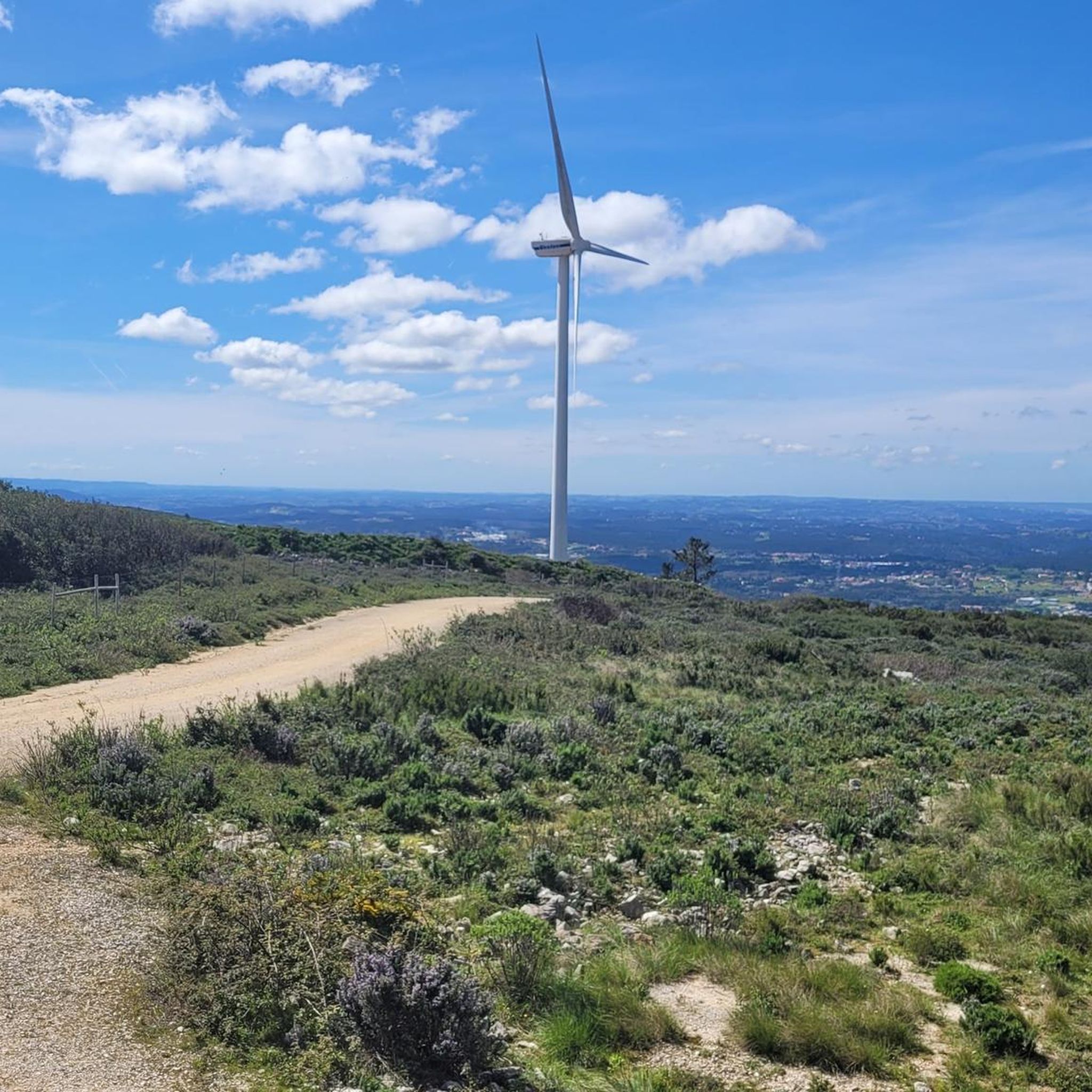
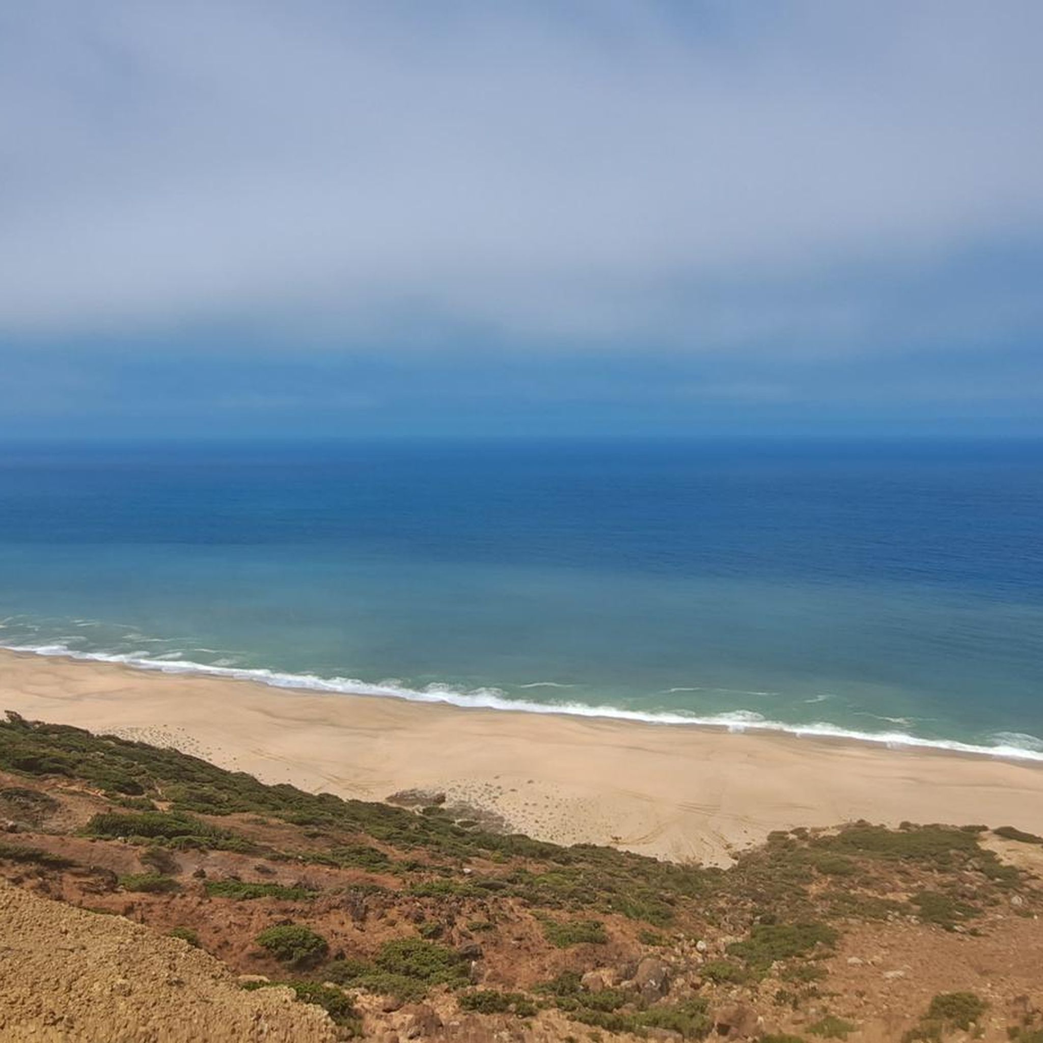
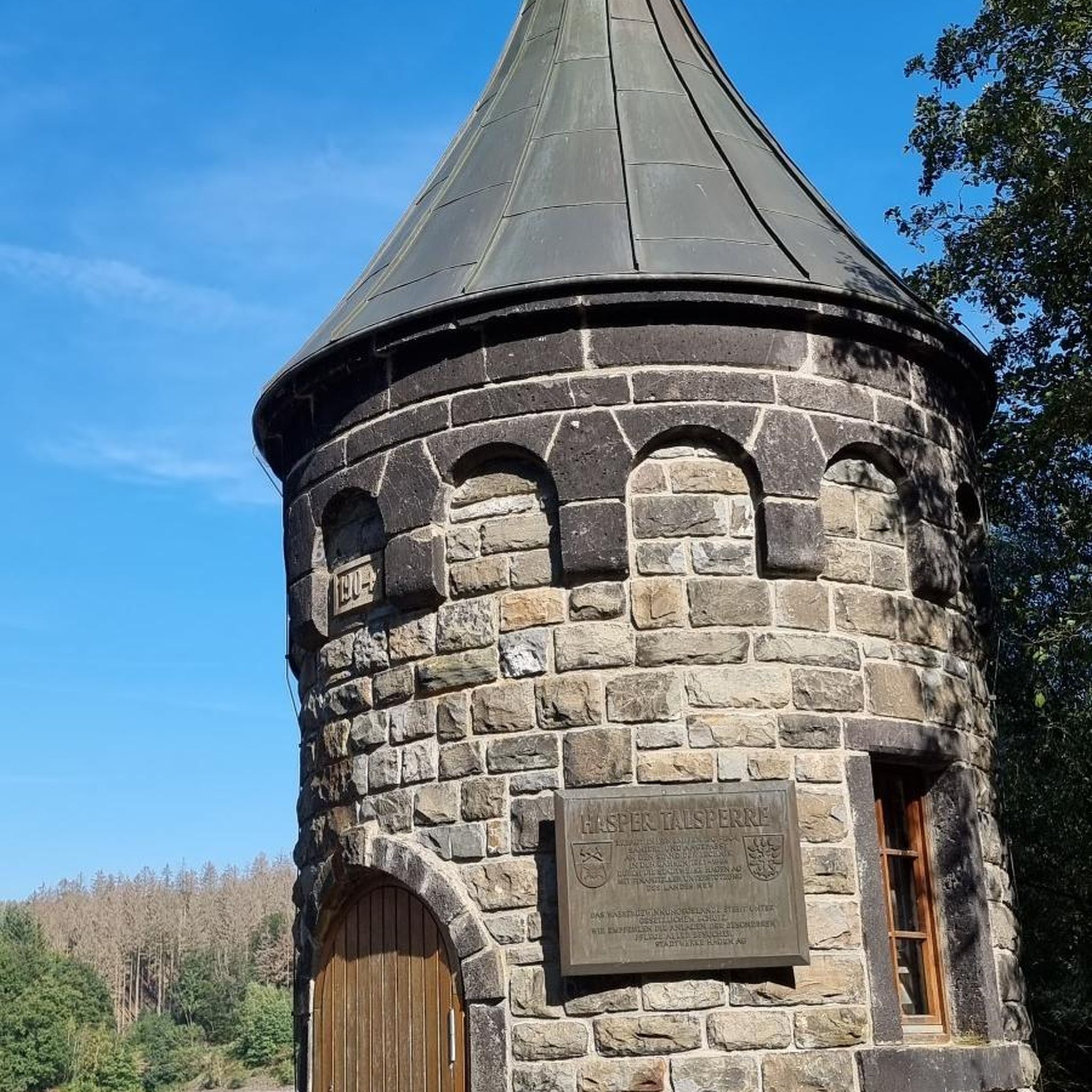
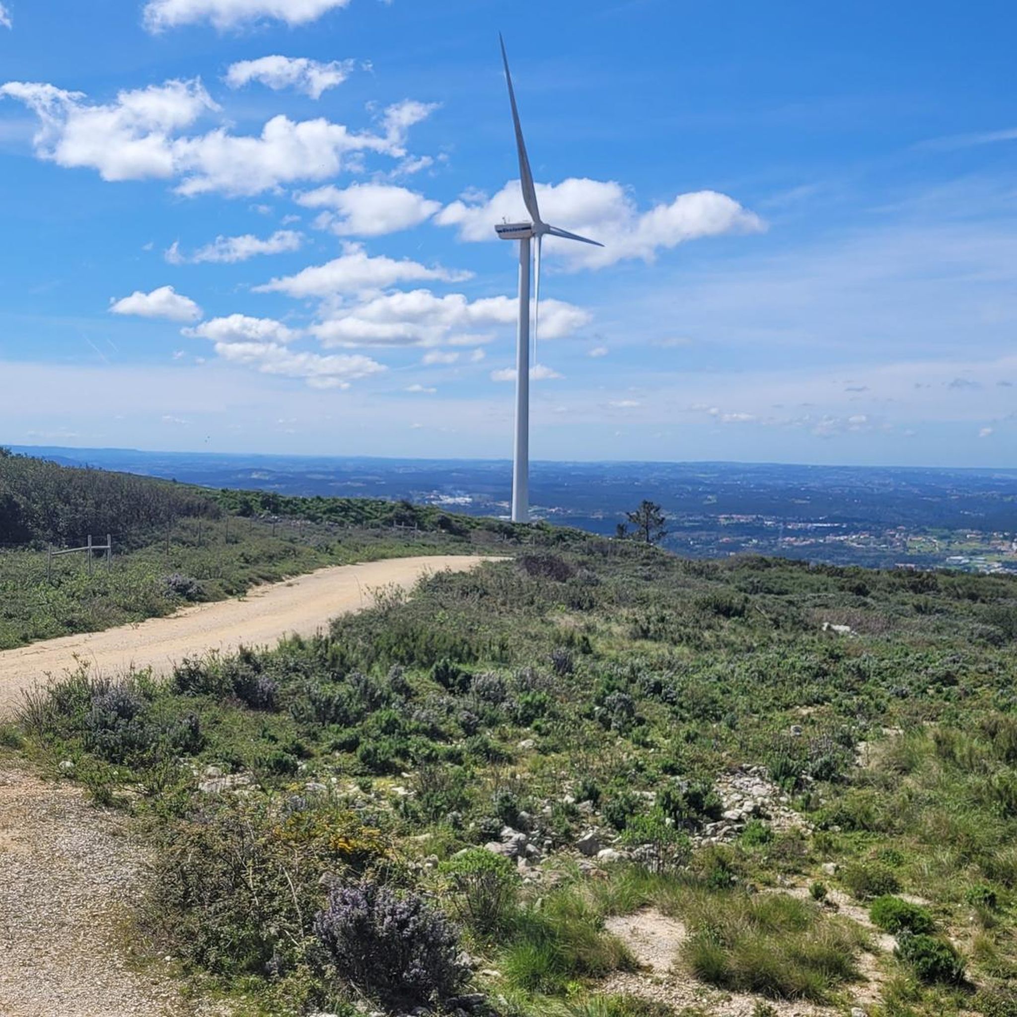
Tips from the Community

Salt is extracted from shallow, concrete or stone pans of varying sizes, where saltwater drawn from a well is conveyed through ditches. Currently, the water is pumped by a motor and distributed according to a system that is generally accepted and respected (not always) by all the owners. Drainpipes, threshing floors, and wooden salt storage houses complete the complex known as the Rio Maior Salt Pans. According to technicians, a large and deep rock salt mine, traversed by an underground stream that feeds a well, makes the extracted water salty, seven times saltier than seawater. The salt is obtained from its exposure to the sun and wind, and the resulting evaporation of the water. This salt is deposited at the bottom of the pans, which are then piled up in pyramid-shaped heaps to dry until harvest. The process is rudimentary and similar to that used in seaside salt mines. The only difference is the picturesque valley that surrounds them, the well, the unique style of the sailors (as the men who work in the salt mines are known), the wooden houses and the country air that you breathe.
0
0

From the chapter house on the ground floor, a staircase leads up to the dormitory. This staircase was rediscovered during renovations beginning in 1930. Located on the first floor, the dormitory extends 66.5 meters in length and 21.5 to 17.5 meters in width along the entire east side of the medieval part of the abbey, thus covering an area of almost 1,300 square meters. In its current form, restored through renovation, it presents itself in its original medieval state. At the southern end, the dormitory opens with a large round-arched doorway to the northern transept of the church. A staircase formerly led down from there, as the Cistercian rule required two separate entrances to the communal sleeping quarters. At the northern end of the dormitory were the latrines, which—again according to a general rule of the order—had to be separated from the sleeping quarters by a separate room. The wastewater flowed into the abbey's garden on the north side. The monks slept together in the dormitory, fully clothed, separated from their neighbors only by a movable partition. The abbot alone had his own cell, located on the south side facing the church. This arrangement is typical of most Cistercian monasteries of this period. A narrow door in the center of the western side leads to a narrow spiral staircase, which today provides access to the kitchen, but in the Middle Ages led to the calefactory (warming room, see below). This staircase also provided access to the upper cloister. https://de.wikipedia.org/wiki/Kloster_Alcoba%C3%A7a
2
0
The entrance to the chapter house features a particularly striking facade with staggered columns. The chapter house served as the meeting place for the monks and was, after the church, the most important room in the monastery. It bears this name because the chapters of the Rule of St. Benedict were read aloud there daily. Elections and similar communal ceremonies of the monks also took place there. In the entrance area to the chapter house is the gravestone of an abbot whose identity is no longer known. The floor of the chapter house was formerly completely covered with such gravestones, as a Cistercian rule from 1180 stipulated that abbots had to be buried in the chapter house, meaning that the monks made their decisions on the graves of their deceased abbots. This type of burial was a significant exception to the general Cistercian rule, which forbade the burial of monks within the monastery. That's why you'll find a door leading south in the southern transept called the Porta da Morte (Door of Death), because deceased monks were carried out through it for burial. https://de.wikipedia.org/wiki/Kloster_Alcoba%C3%A7a
1
0
To the west of the new kitchen lies the refectory, the dining hall for the monks, a three-aisled hall measuring approximately 620 square meters (29 x 21.5 meters). Above its entrance, in medieval Latin, is the difficult-to-interpret inscription: "respicte quia peccata populi comeditis," meaning: "Remember that you are eating the sins of the people." The room impresses with its beautiful proportions. It has windows facing north and east, overlooking the new kitchen. On the west side, a stone staircase leads to the pulpit of the lector, who read from monastic texts during meals. The monks sat facing the walls and ate their meals in silence. The abbot sat with his back to the north wall, observing the proceedings. At the southern end of the west side, the refectory opens into the former medieval kitchen, now a side room leading to the cloister of the Cathedral of Afonso VI. A few meters further along, another opening can be found in the same wall, two meters high and 32 cm wide. It leads to the aforementioned side room, and there is no scientifically sound explanation for it. A long-standing legend claims that this opening served to monitor the monks' weight. They were supposed to pass through this door once a month, which is only possible by leaning sideways. If they were too heavy, they were put on a diet. The damage caused by the conversion of the refectory into a theater in 1840 (with 301 seats, 120 of which were in the galleries, and 5 boxes) was largely repaired during the restoration. https://de.wikipedia.org/wiki/Kloster_Alcoba%C3%A7a
1
0
The exact date of the monastery kitchen's reconstruction is disputed, despite a date of 1712 inscribed within the kitchen. However, it is assumed that the new kitchen was completed before the construction of King Afonso VI's cloister, thus likely towards the end of the 17th century. In the center of the kitchen, a chimney was built over a base of approximately 3 x 8 meters and reached a height of about 25 meters. Two flanking chimneys of the same height flanked the kitchen, forming the highest point in the monastery's roofscape after the church and its nave. Such structures existed in Portugal only at the Convent of Christ in Tomar and the Royal National Palace in Sintra. The hearth of the main chimney is recessed to hold the embers, so that these facilities—after centuries of abstaining from meat—were now suitable for grilling and roasting whole cattle. A ditch of the levada, the artificial side channel of the Alcoa River, flows beneath the kitchen floor. On the west side of the kitchen are seven large stone basins, each with two spouts depicting mythical faces or grotesque masks. Water flowed into these tub-sized basins, fed by a channel running inside the wall. In 1762, the kitchen received its current tiles, which cover both the walls and ceiling. https://de.wikipedia.org/wiki/Kloster_Alcoba%C3%A7a
2
0
The first cloister was probably completed around 1240, along with the church, but it may have collapsed. It was replaced around 1308–1311 by the present-day Claustro de Dom Dinis, also known as the Claustro de Silencio (Cloister of Silence, because speaking was forbidden there). It has a circumference of 203 meters and an average height of 5 meters on the ground floor. At the beginning of the 16th century, a second story was added to the cloister by order of King Manuel I (1469–1521), giving it two levels. Access to the upper level of the cloister is via a spiral staircase in the northeast corner, which also connects the kitchen to the dormitory. https://de.wikipedia.org/wiki/Kloster_Alcoba%C3%A7a
2
0

It's easier to ride a bike outside of rush hour.
0
0

Just three kilometres from Rio Maior, on the southern tip of the Serra dos Candeeiros, lie the only inland salt pans in Portugal, and the only ones still active in the whole of Europe. Surrounded by vineyards and cultivated fields, they are a true wonder of nature, as the sea is 30 kilometres away. Their history dates back to at least 1177, but it is said that rock salt has been mined since prehistoric times. The water, seven times saltier than that of the ocean, emerges from a well after passing through an underground deposit, leaving behind the pure vestige of an ancient sea.
1
0
Frequently Asked Questions
How many road cycling routes are available around Gançaria?
There are over 110 road cycling routes available around Gançaria, offering a wide range of options for different skill levels and preferences.
What kind of terrain can I expect when road cycling near Gançaria?
The region around Gançaria features a diverse landscape with rolling hills, agricultural areas, and vineyards. You'll encounter varied terrain, from gentle gradients suitable for leisurely rides to more challenging ascents in the surrounding hills. Road surfaces are generally suitable for cycling, connecting rural areas with cultural landmarks.
What are the difficulty levels of road cycling routes in the Gançaria area?
Road cycling routes around Gançaria cater to various abilities. There are 7 easy routes, 80 moderate routes, and 25 difficult routes, ensuring options for beginners to experienced cyclists.
What do other road cyclists say about the routes in Gançaria?
The routes in Gançaria are highly rated by the komoot community, with an average score of 4.9 stars from 10 reviews. Over 800 road cyclists have used komoot to explore the varied terrain, often praising the scenic views of vineyards and historic towns.
Are there any historical landmarks or points of interest along the road cycling routes near Gançaria?
Yes, several routes pass by or are near significant landmarks. For example, the Alcobaça Town Hall – Alcobaça Monastery loop from Frei João leads through historic towns and past the notable Alcobaça Monastery. Other attractions in the broader region include the historic Óbidos Village and the Alcanede Castle.
Can I find scenic viewpoints on road cycling routes in Gançaria?
Absolutely. The region's rolling hills naturally offer many scenic vistas. The View of Vineyards and Hills loop from Rio Maior is specifically known for its scenic views. Additionally, the Portela do Pereiro Viewpoint is a notable spot in the area for panoramic views.
Are there any natural features to explore while road cycling around Gançaria?
Beyond the vineyards and hills, you can explore natural features such as the Rio Maior Salt Pans, which are a unique geological and historical site. The broader region also features the Mira de Aire Cave, offering a different natural experience.
Are there family-friendly road cycling routes in Gançaria?
While many routes involve rolling hills, there are 7 easy routes available that could be suitable for families or those looking for a less strenuous ride. These routes typically feature gentler gradients through agricultural areas.
What is the best time of year for road cycling in Gançaria?
The region generally offers favorable weather for cycling for much of the year. Spring and autumn typically provide pleasant temperatures and less extreme weather, making them ideal for road cycling. Summers can be warm, while winters are generally mild but may have more rainfall.
Are there circular road cycling routes available in Gançaria?
Yes, many of the road cycling routes around Gançaria are designed as loops, allowing you to start and end your ride in the same location. Examples include the João Almeida Monument loop from Rio Maior and the Salinas Rio Major – Salinas de Rio Maior loop from Rio Maior.
Where can I find longer distance road cycling routes near Gançaria?
For longer rides, consider routes like the Salinas de Rio Maior – Chafariz das Cinco Bicas loop from Rio Maior, which covers over 77 kilometers. The network around Gançaria offers various moderate and difficult routes that can be combined or extended for longer distances.
Are there specific routes that pass by the Rio Maior Salt Pans?
Yes, the Salinas de Rio Maior – Chafariz das Cinco Bicas loop from Rio Maior and the Salinas Rio Major – Salinas de Rio Maior loop from Rio Maior are excellent options for cyclists wishing to visit the unique Rio Maior Salt Pans during their ride.
Most popular routes around Gançaria
Most popular attractions around Gançaria

Get inspired with the komoot mobile app


Explore more
Browse the best Road cycling routes in other regions.
