The best walks and hikes around Alcorochel
4.9
(10)
35
hikers
21
hikes
Hiking around Alcorochel, Portugal, offers a variety of trails through its rural landscape. The region is characterized by rolling hills and agricultural areas, with routes often passing through small villages and forested sections. Elevation changes are generally moderate, providing accessible paths for various fitness levels. The terrain typically consists of well-maintained paths and tracks suitable for walking.
Best hiking trails around Alcorochel
- The most popular hiking route is Rota dos Ferreiros (PR 4) — circular route, a 6.4 miles…
Last updated: August 18, 2026
5.0
(4)
7
hikers
10.2km
02:44
110m
110m
Moderate hike. Good fitness required. Easily-accessible paths. Suitable for all skill levels.
5.0
(1)
5
hikers
10.7km
02:54
150m
150m
Moderate hike. Good fitness required. Easily-accessible paths. Suitable for all skill levels.

Sign up for free
4.7
(3)
5
hikers
8.26km
02:18
150m
150m
Moderate hike. Good fitness required. Easily-accessible paths. Suitable for all skill levels.
5
hikers
11.0km
03:03
190m
190m
Moderate hike. Good fitness required. Easily-accessible paths. Suitable for all skill levels.
3
hikers
25.4km
07:39
740m
740m
Hard hike. Very good fitness required. Easily-accessible paths. Suitable for all skill levels.
Get access to more routes and recommendations from other explorers.
Sign up for free
Already have an account?
Our route recommendations are based on thousands of hikes, rides, and runs completed by other people on komoot.
Start today with a free account
Your next adventure awaits.
Login or Signup

Tips from the Community

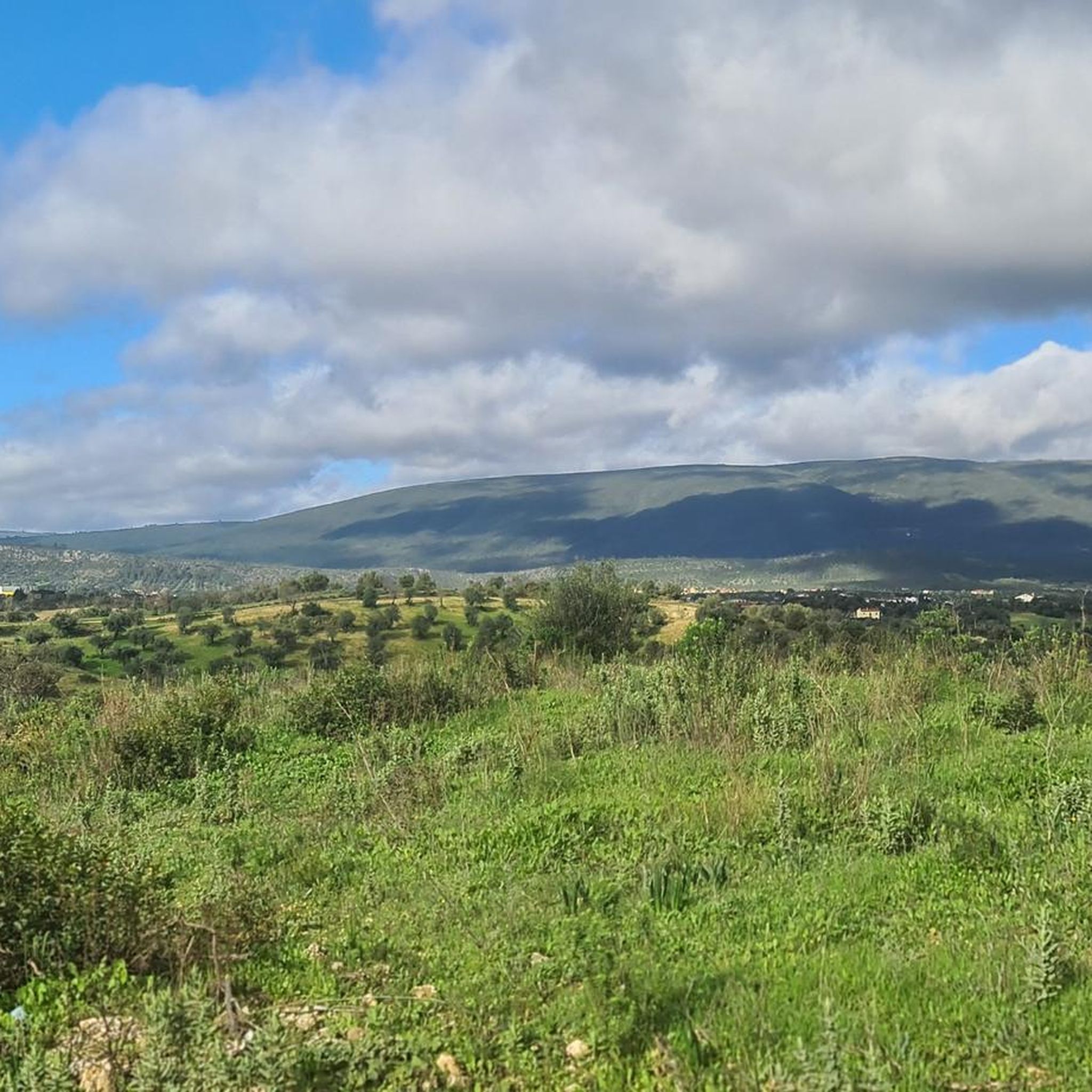
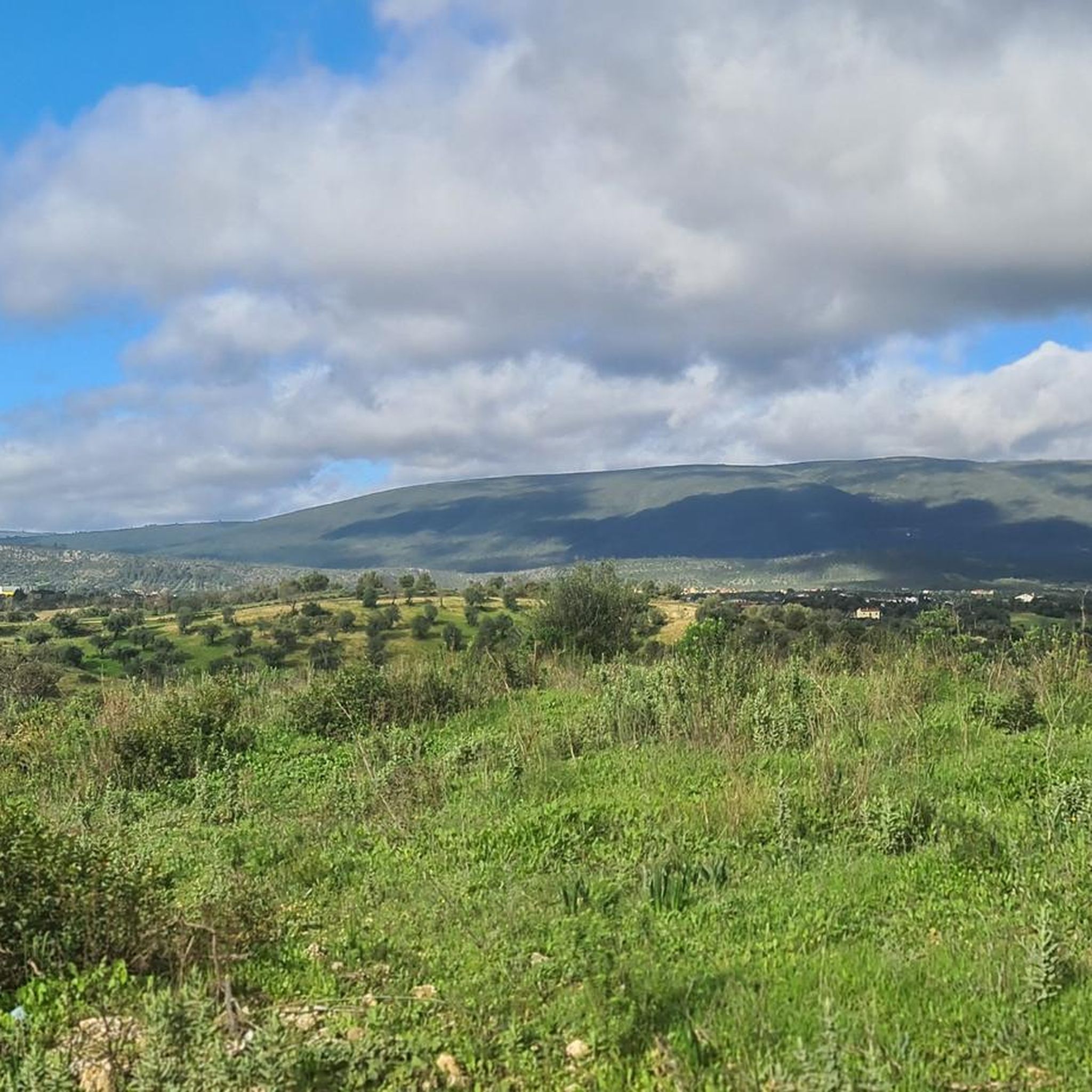
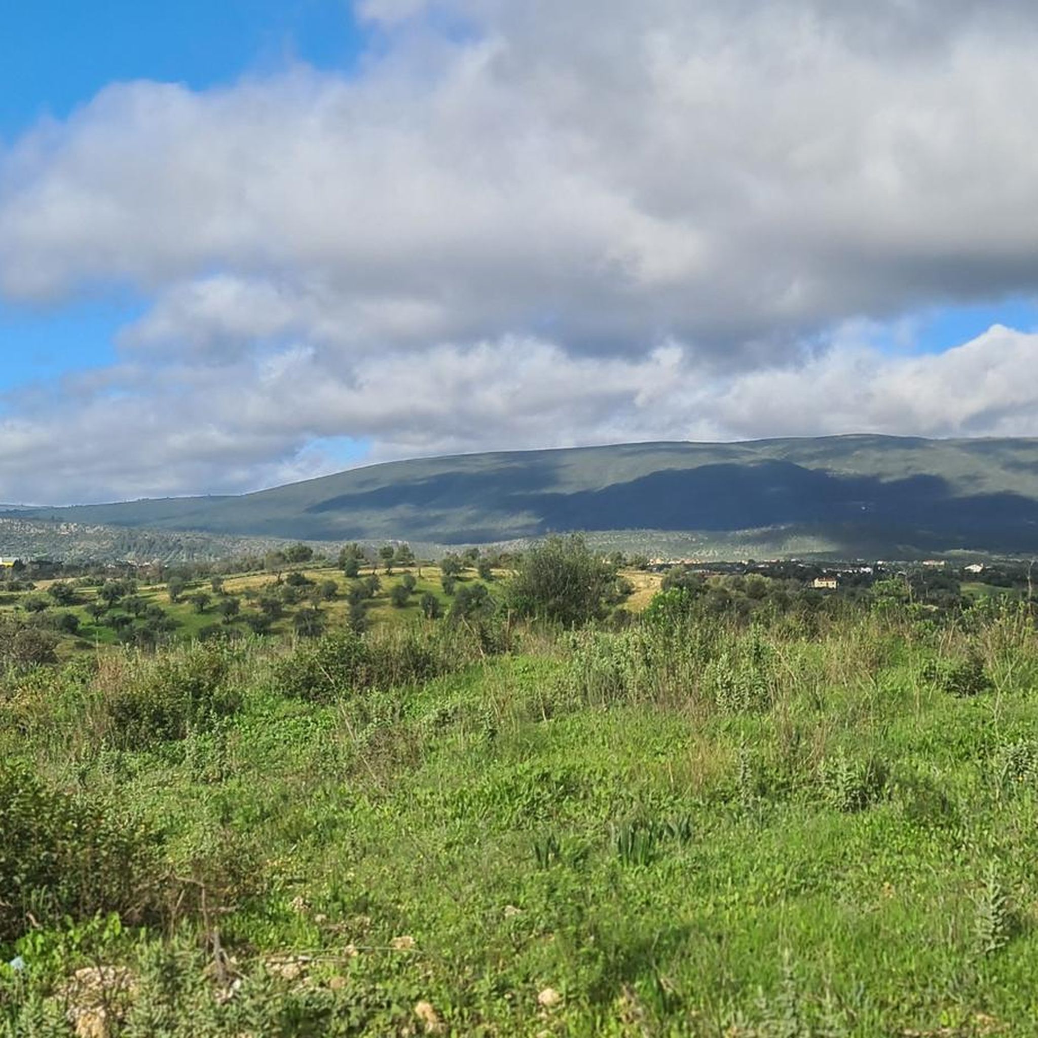
The Silvas Mill is one of many that dot these fields, recalling times when the wind moved everyday life. The view is stunning, even more so on sunny days, when the landscape lights up.
2
0
Malhou owes its name to the rhythmic sound of hammers and the shine of forges: in times past, this parish was famous for the talent of its blacksmiths, masters in the art of shaping iron with skill and strength. It was this craft that marked the identity of the land and gave it its name.
1
0
The Silvas Mill is one of many that dot these fields, recalling times when the wind moved everyday life. The view is stunning, even more so on sunny days, when the landscape lights up. The dirt road invites you to run without rushing or worrying, just look up and enjoy the scenery.
2
0
The Serra de Aire stands as the highest point of the Estremenho Limestone Massif, crowning its 678 metres at the geodesic vertex. Up here, the horizon opens up generously: to the south stretches the Tertiary Tagus Basin, lowered by the Arrife thrust and marked by ochre tones of sand and clay; to the west and southwest rise the Santo António plateau and the Serra dos Candeeiros. And if the sky cooperates, the view also reaches Montejunto, the sea in the distance and, to the north, the highlands of São Mamede up to Ourém and Fátima.
1
0
The Garcia Valley hides a narrow and wild trail, where the bush almost blocks the path, but that is precisely what makes it special for runners. The classic climb is a real test for the legs: 200 meters of elevation gain in just one kilometer. Short, tough and full of charm.
1
1


Nice part of the route over the old stone water pipe. It is a narrow path (25 cm wide) with some small, but quite steep slopes. I did it with 2 children (4 and 7 years old) and it went well. The route also continues on the other side of the bridge, which we have not walked yet. I seem to be such a narrow path
0
0
Frequently Asked Questions
Are there easy hiking trails suitable for beginners in Alcorochel?
Yes, Alcorochel offers several easy hiking options. For instance, the Grutas de Lapas loop from Torres Novas is an easy 3.1-mile (5 km) path that takes about 1 hour 21 minutes to complete, perfect for those new to hiking or looking for a relaxed walk.
What is the typical duration for hikes around Alcorochel?
Hikes in Alcorochel generally range from 1.5 to 3 hours. For example, the popular Rota dos Ferreiros (PR 4) — circular route is about 6.4 miles (10.2 km) and typically takes around 2 hours 44 minutes. Shorter, easier options are also available.
Can I bring my dog on the hiking trails in Alcorochel?
Generally, dogs are welcome on hiking trails in rural Portugal, including Alcorochel. It's always best to keep your dog on a leash, especially when passing through agricultural areas or near livestock, and to carry water for them. Please ensure you clean up after your pet.
What is the best time of year to go hiking in Alcorochel?
The best time for hiking in Alcorochel is typically during spring (March to May) and autumn (September to November). During these seasons, the weather is mild and pleasant, and the landscape is vibrant. Summers can be very hot, making early morning or late afternoon hikes preferable, while winters are generally mild but can be rainy.
Are there any circular walking routes in Alcorochel?
Yes, Alcorochel features several circular routes. A great option is the Hiking loop from Louriceira, which is 5.1 miles (8.3 km) long and offers a pleasant journey through the rural landscapes, usually completed in about 2 hours 18 minutes.
Are there any notable viewpoints or scenic spots along the trails?
While Alcorochel is characterized by rolling hills and agricultural areas rather than dramatic mountain vistas, many trails offer charming views of the countryside and pass through traditional villages. The region's beauty lies in its serene rural landscapes and the occasional glimpse of historical structures.
What can I see along the hiking trails around Alcorochel?
The trails often lead through agricultural fields, olive groves, and small forested sections. You might encounter local landmarks such as the Ponte João Joaquim Isidro dos Reis or the Ponte da Ferreira. Some routes also pass near the Source of the Alviela River (Olhos de Água), offering a natural point of interest.
Is parking available near the trailheads in Alcorochel?
As Alcorochel is a rural area with small villages, parking is generally available in or near the starting points of many trails, often in village squares or designated roadside areas. It's usually free, but always check local signage.
What do other hikers enjoy the most about hiking in Alcorochel?
The area is highly rated by the komoot community, with an average score of 4.9 stars. Reviewers often praise the quiet, well-maintained paths, the peaceful rural atmosphere, and the opportunity to experience authentic Portuguese countryside away from more crowded tourist spots.
Are there any attractions or points of interest nearby that I can visit after a hike?
Yes, after your hike, you could explore nearby attractions such as the Alcanena MTB Center – Alviela Spring, which is a significant natural site. The charming settlement of Moitas Venda also offers a glimpse into local life.
How many hiking trails are available in Alcorochel?
There are over 20 hiking routes available around Alcorochel, catering to various fitness levels. This includes 2 easy trails, 16 moderate trails, and 4 more challenging options, ensuring there's something for everyone.
Most popular routes around Alcorochel
Most popular attractions around Alcorochel

Get inspired with the komoot mobile app


Explore more
Browse the best Hikes in other regions.
