The best walks and hikes around Alhos Vedros
4.8
(214)
796
hikers
23
hikes
Hiking around Alhos Vedros offers a network of trails through varied landscapes. The region features gentle elevations, with routes often traversing rural areas and offering views towards the Tagus estuary. Hikers can expect a mix of open paths and sections passing through local vegetation. The terrain is generally accessible, providing options for different activity levels.
Best hiking trails around Alhos Vedros
- The most popular hiking route is Alcaria of Alto da Queimada – Descent of the Cows loop from Quinta…
Last updated: August 18, 2026
4.8
(10)
47
hikers
Moderate hike. Good fitness required. Easily-accessible paths. Suitable for all skill levels.
5.0
(3)
29
hikers
15.1km
04:10
250m
250m
Moderate hike. Good fitness required. Easily-accessible paths. Suitable for all skill levels.

Sign up for free
4.7
(11)
10
hikers
9.43km
02:27
60m
60m
Moderate hike. Good fitness required. Easily-accessible paths. Suitable for all skill levels.
4.8
(4)
13
hikers
6.38km
01:46
110m
110m
Easy hike. Great for any fitness level. Easily-accessible paths. Suitable for all skill levels.
7
hikers
3.72km
00:57
20m
20m
Easy hike. Great for any fitness level. Easily-accessible paths. Suitable for all skill levels.
Get access to more routes and recommendations from other explorers.
Sign up for free
Already have an account?
Our route recommendations are based on thousands of hikes, rides, and runs completed by other people on komoot.
Start today with a free account
Your next adventure awaits.
Login or Signup

Tips from the Community

You don't necessarily expect tourists in Seixal. Guidebooks always recommend only the route to Almada out of the three possible ferry crossings. Accordingly, the place appears sleepy. A detour is still worthwhile. Everything is much quieter here. A walk along the beach promenade and through the small alleys of the suburb is worthwhile. The view from the town's small wood is stunning. You have to search for open restaurants around lunchtime. In the ship restaurant Lisboa a Vista, you can get solid food while gently rocking on the water. The city park was created from the remains of a cork oak plantation that belonged to a cork factory. Some old cork oaks and other old trees invite you to linger. On the other side of Seixal, you can supposedly observe flamingos. A great contrast to bustling Lisbon.
0
0
Beautiful restaurant on a 100-year-old ship with a view over the bay towards Almada. It rocks a bit while eating. Good cuisine - mid-range prices.
0
0

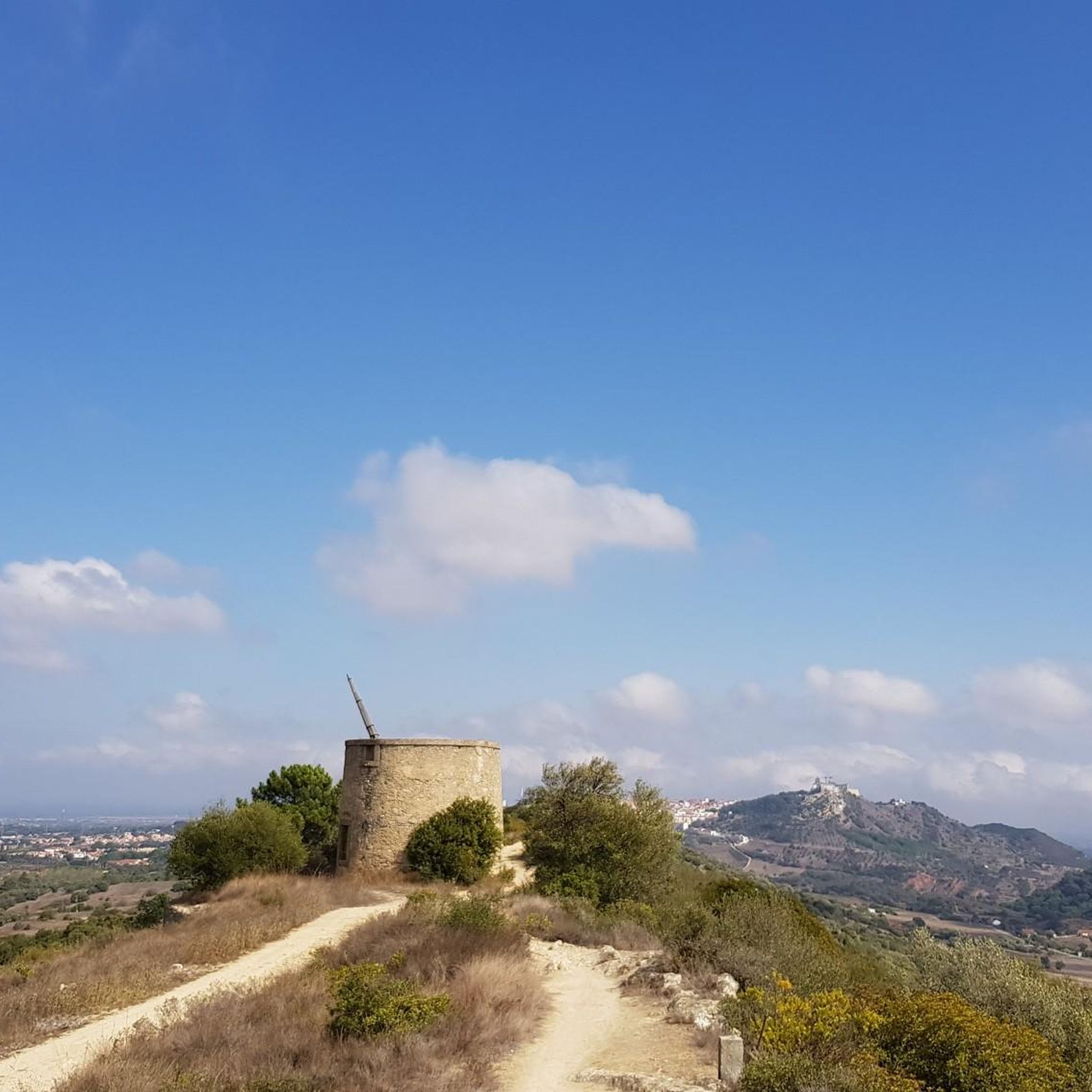
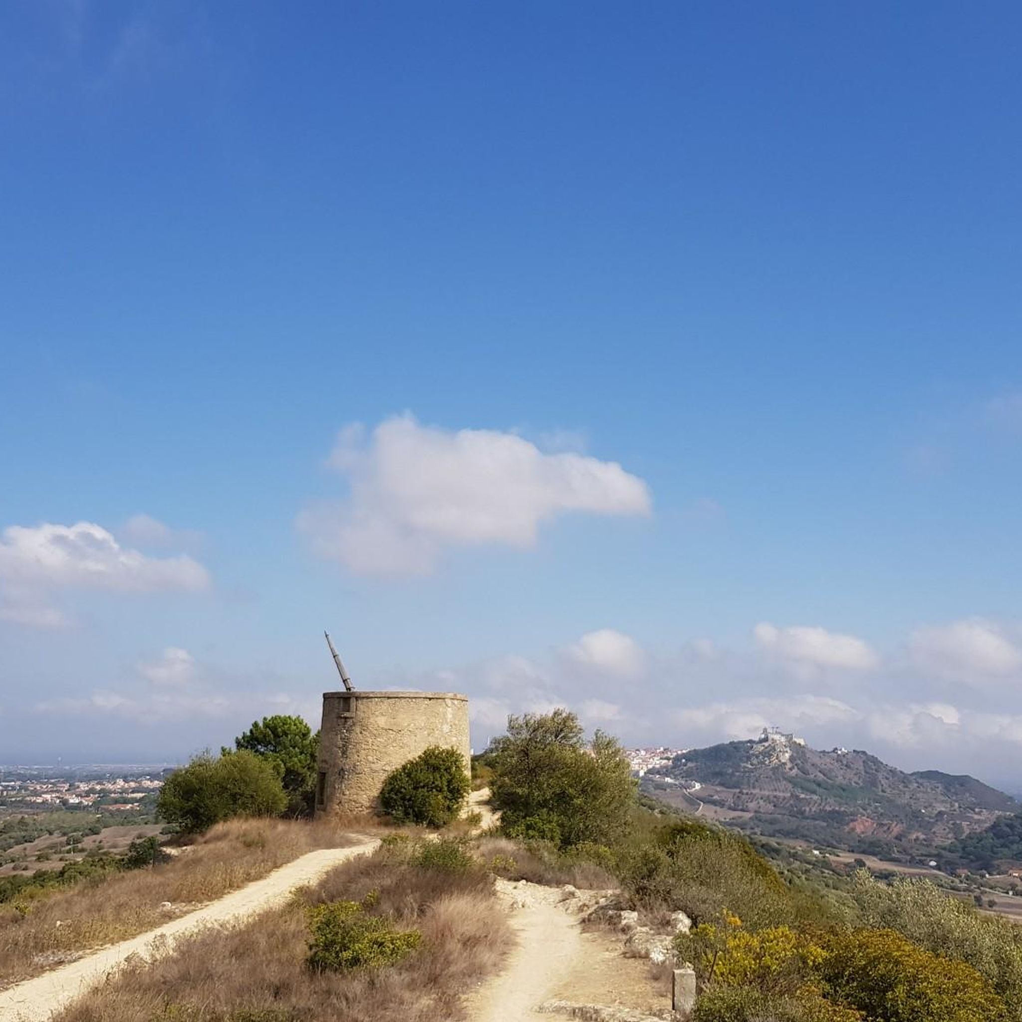
These were the "mills" of old, moved by the wind, heavy granite millstones, transformed wheat seeds into flour from which delicious bread was made, which "satisfied" the hunger of those who had little to eat.
1
0


The Portuguese oak can be considered an intermediate species between the oaks of the north of the country and those of the south, that is, between the black oak and the oak, and the cork oak and holm oak. This tree grows slowly and inhabits habitats that are generally limiting for most other trees. Like the holm oak, the acorns of this oak are also used in the feed of the wild pig.
5
0
The rural Islamic site of Alto da Queimada, which we identified as a hilltop, was subjected to archaeological intervention between 1996 and 2005. The village shows signs of previous occupation, from the Roman and pre-Islamic periods, with continuity of settlement being recognised, attributable to the great fertility of the region and the good location and defence conditions. The peasant population that, in the Islamic period, structured and inhabited the hilltop from the Emiral period until the beginning of the 11th century, maintained undeniable fiscal and cultural links to the castle of Palmela. The hilltop is defined in a west-east direction, with rectangular houses, with rough stonework associated with walls obtained from the local rock and roofs made of perishable materials. Spaces with functions linked to daily agricultural and pastoral life are defined, namely storage areas, but also others of a religious nature. The signs of a predominantly agricultural economy are evident in the collection of instruments and various utensils, but other activities are also documented, such as fishing, justified by the proximity of the Sado Estuary.
3
0
The Arrábida region holds valuable treasures and a variety of information about the geological evolution of the territory and its occupation since the Neolithic period. It is possible to discover and interpret all these signs in a simple and educational way along the Serra do Louro and Quinta do Anjo mountain range, where you can see beds of fossilized oysters and corals and a large number of archaeological remains in the form of engravings, settlements, hill forts and tombs excavated in the rock. It is also a privileged location for the global observation of all the orography related to the formation of the Serra da Arrábida. The geodetic marker marks the highest point of the Serra do Louro. At an altitude of 224 m, you can see, to the south, the Serra de São Luís (398 m), the Serra dos Gaiteiros (229 m) and the Vale dos Barris. In this location, you can also see a bed of fossilized oysters. The oldest lands in Arrábida date back to around 200 million years ago, at the beginning of the Jurassic, with the oyster beds being one of the testimonies of other geological times.
5
0
Frequently Asked Questions
How many hiking trails are available around Alhos Vedros?
Alhos Vedros offers a selection of over 20 hiking trails. These routes traverse varied landscapes, including rural paths and areas with views towards the Tagus estuary, providing options for different preferences.
Are there easy hiking trails suitable for beginners in Alhos Vedros?
Yes, Alhos Vedros has 8 easy hiking trails perfect for beginners or those seeking a relaxed walk. An excellent option is the Portuguese oak loop from Quinta do Anjo, which is 4 miles (6.4 km) long and features gentle elevations.
What kind of terrain can I expect on hikes around Alhos Vedros?
The terrain around Alhos Vedros is generally accessible, characterized by rural paths, gentle hills, and open sections. You'll encounter local vegetation and often enjoy views of the Tagus estuary, making for a pleasant and varied hiking experience.
Are there any circular hiking routes in Alhos Vedros?
Many of the trails around Alhos Vedros are designed as circular routes, allowing you to start and end at the same point. For example, the Cai de Costas Trail – Portuguese oak loop from São Gonçalo (En 379 10) is a moderate 9.5 miles (15.3 km) loop that explores areas with Portuguese oak trees.
What can I see along the hiking trails in Alhos Vedros?
Beyond the natural landscapes, you can discover interesting landmarks and natural features. Consider visiting the Salinas do Samouco, a significant natural area, or the Windmills of Serra do Louro for a glimpse into local history and scenic views.
Are there any viewpoints or scenic spots on the trails?
Yes, several trails offer scenic viewpoints. The Viewpoint loop from Barreiro is an easy 2.3 miles (3.7 km) route specifically designed to take you to a scenic spot. You can also find the São Luís Lookout, which provides expansive views.
What do other hikers enjoy most about hiking in Alhos Vedros?
The komoot community highly rates the hiking experience in Alhos Vedros, with an average score of 4.7 stars from over 180 reviews. Hikers frequently praise the accessible terrain, the rural charm, and the pleasant views of the Tagus estuary.
Are there any longer or more challenging hikes for experienced hikers?
While there are no difficult-rated trails, Alhos Vedros offers 15 moderate routes that provide a good challenge. The Alcaria of Alto da Queimada – Descent of the Cows loop from Quinta do Anjo is a moderate 6.5 miles (10.5 km) trail with varied elevations, taking nearly 3 hours to complete.
Is Alhos Vedros suitable for family-friendly hikes?
Yes, the generally accessible terrain and numerous easy routes make Alhos Vedros suitable for family outings. Many trails feature gentle elevations and open paths, providing a pleasant environment for hikers of all ages.
What is the best time of year to go hiking in Alhos Vedros?
The mild climate of the region makes hiking enjoyable for much of the year. Spring and autumn offer particularly pleasant temperatures, while winter can also be suitable for hiking, though some paths might be muddier after rain. Summers can be hot, so early morning or late afternoon hikes are recommended.
Are there any trails that offer views of the Tagus estuary?
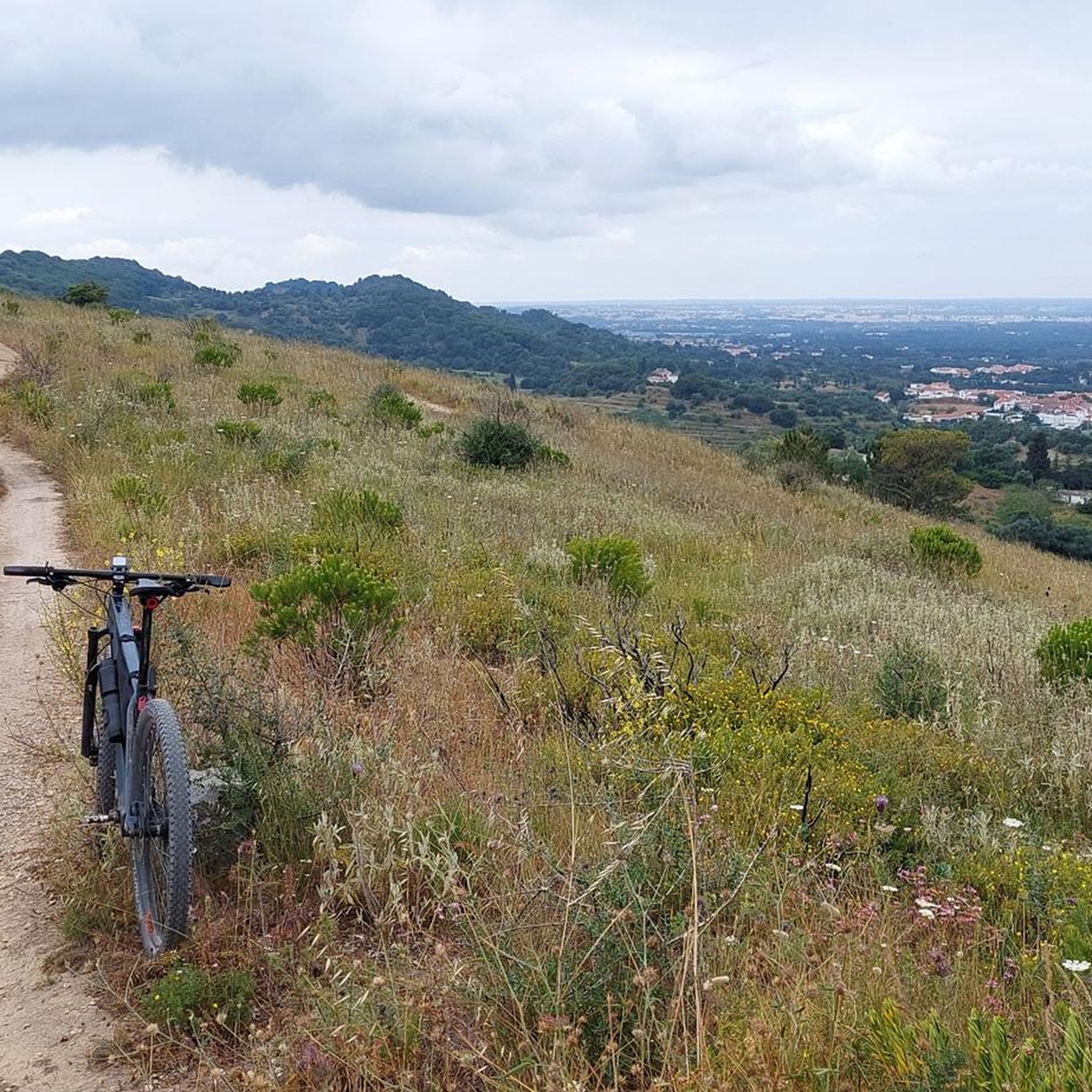
Many routes in Alhos Vedros provide scenic views towards the Tagus estuary. The Panoramic swing – Seixal Bay loop from Seixal, for instance, is a 5.8 miles (9.3 km) trail that leads through areas near Seixal Bay, offering beautiful waterside vistas.
Can I find trails that pass through specific natural features like forests?
Yes, some trails highlight specific natural features. You can explore areas characterized by Portuguese oak trees, such as those found on the Cai de Costas Trail – Portuguese oak loop from São Gonçalo (En 379 10). Additionally, the Fernão Ferro Forest Trail is a notable highlight in the vicinity.
Most popular attractions around Alhos Vedros

Get inspired with the komoot mobile app


Explore more
Browse the best Hikes in other regions.
