The best walks and hikes around Prozelo
4.6
(62)
267
hikers
9
hikes
Hiking around Prozelo features trails primarily along river valleys and through agricultural landscapes, often incorporating historic bridges and designated ecotrails. The terrain is generally gentle, with modest elevation changes, making it accessible for various fitness levels. The region is characterized by its waterways, such as the Vez River, and offers a blend of natural scenery and cultural points of interest.
Best hiking trails around Prozelo
- The most popular hiking route is Ponte da Barca Bridge – Ponte de Santar loop…
Last updated: August 13, 2026
4.3
(4)
28
hikers
15.7km
04:10
160m
160m
Moderate hike. Good fitness required. Easily-accessible paths. Suitable for all skill levels.
4.5
(2)
26
hikers
9.38km
02:24
40m
40m
Moderate hike. Good fitness required. Easily-accessible paths. Suitable for all skill levels.

Sign up for free
4.3
(4)
21
hikers
19.7km
05:04
90m
90m
Hard hike. Very good fitness required. Easily-accessible paths. Suitable for all skill levels.
4.6
(8)
20
hikers
Hard hike. Very good fitness required. Easily-accessible paths. Suitable for all skill levels.
4.6
(7)
16
hikers
21.5km
05:41
190m
190m
Hard hike. Very good fitness required. Easily-accessible paths. Suitable for all skill levels.
Get access to more routes and recommendations from other explorers.
Sign up for free
Already have an account?
Our route recommendations are based on thousands of hikes, rides, and runs completed by other people on komoot.
Start today with a free account
Your next adventure awaits.
Login or Signup

Tips from the Community


The Church of Misericórdia de Arcos de Valdevez, classified as an Immovable of Public Interest since 1996, is one of the main landmarks of the town's historic center. Its history is closely linked to the foundation of the respective Confraternity and the evolution of Baroque and Neoclassical styles in the region. 👍🥾 Source: wikipedia
0
0
The Igreja Matriz de Ponte da Barca, dedicated to São João Baptista, is one of the most emblematic monuments in Alto Minho, classified as a National Monument since 1910. Its history is marked by reconstructions that transformed a 16th-century temple into a jewel of 18th-century baroque. Source: wikipedia
0
0
Fantastic area for cycling or walking
1
0

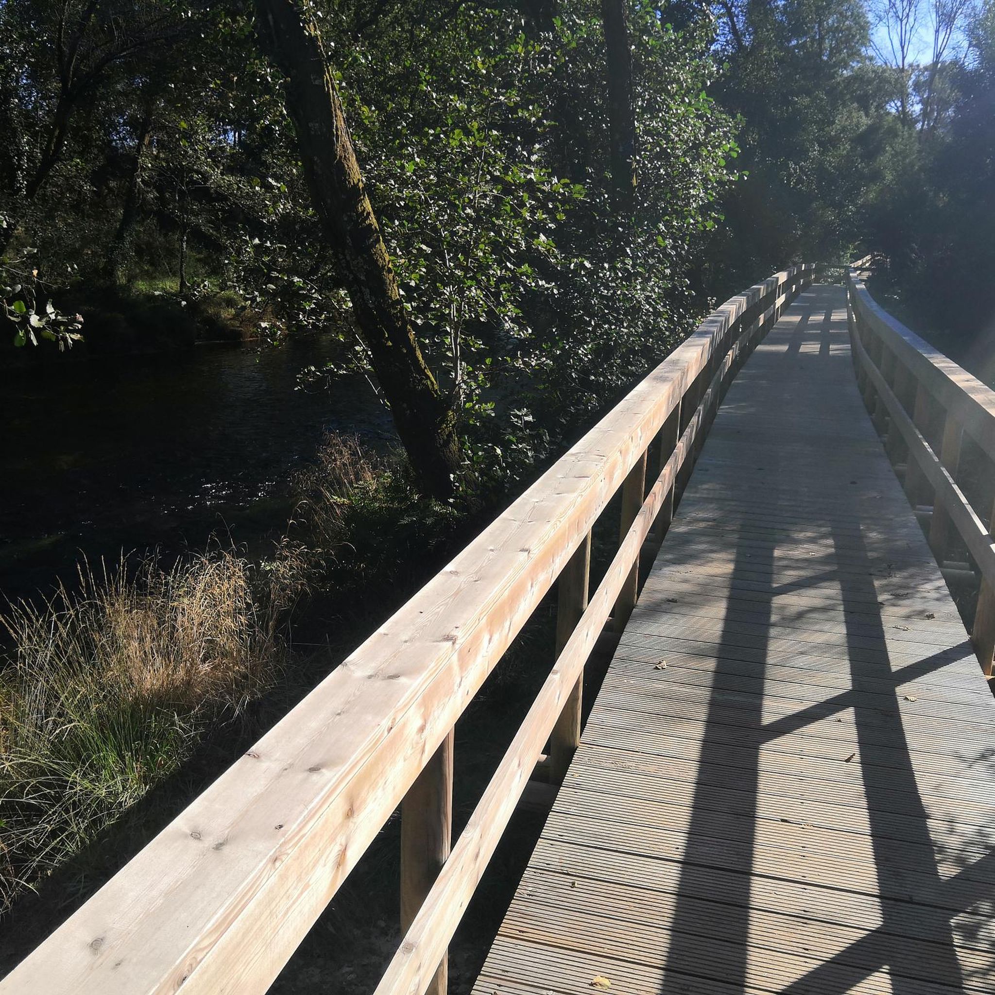
Ecovia on the banks of the Lima River
1
0


There is a large park to walk around, it is a peaceful place. I had never crossed the bridge, I waited until nightfall to see it. The bridge's lighting is missing.
1
0

The Medieval Bridge of Vilela crosses the Vez River and is said to have already existed in 1258 (23rd century). It has 2 arches, one of them broken, of unequal size.
1
0
Frequently Asked Questions
How many hiking trails are available around Prozelo?
There are over 9 hiking routes in the Prozelo area, offering a variety of experiences. These include 1 easy, 5 moderate, and 3 difficult trails, catering to different fitness levels.
Are there any easy hiking trails suitable for beginners in Prozelo?
Yes, Prozelo offers at least one easy hiking trail. The terrain in the region is generally gentle, with modest elevation changes, making many routes accessible for beginners. Look for trails primarily along river valleys and designated ecotrails for a smoother experience.
What kind of landscapes can I expect to see on hikes around Prozelo?
Hiking around Prozelo primarily features trails along river valleys, through agricultural landscapes, and often incorporates historic bridges and designated ecotrails. The region is characterized by its waterways, such as the Vez River, offering a blend of natural scenery and cultural points of interest.
Are there any circular walks in Prozelo?
Many of the trails around Prozelo are designed as loops. For example, the Nora de Guilhadeses – Ecovia Hiking Trail loop from Arcos de Valdevez is a moderate 5.8 miles (9.4 km) path that navigates along a dedicated ecovia, providing a smooth circular experience.
What are some interesting landmarks or attractions I can see while hiking?
Along the trails, you can discover several points of interest. The Vilarinho Medieval Bridge loop from Arcos de Valdevez passes a significant medieval bridge. You might also encounter the Vez River, which is a prominent feature of the landscape, and various ecovias like the Lima Ecotrail.
Are there any longer or more challenging hikes for experienced hikers?
Yes, for experienced hikers, there are more challenging options. The Ponte de Santar – Mouth of the Vez River loop from Arcos de Valdevez is a difficult 21.6 km (13.4 miles) trail. Another difficult option is the Ponte da Barca Bridge – Ponte de Santar loop from Padreiro (Salvador), covering 21.5 km (13.4 miles).
What do other hikers enjoy most about the trails in Prozelo?
The hiking trails in Prozelo are highly rated by the komoot community, with an average score of 4.6 stars from over 50 reviews. Hikers often praise the scenic river views, the historical bridges, and the well-maintained ecotrails that make for an enjoyable experience.
Is Prozelo a good destination for family-friendly hikes?
Given the generally gentle terrain and the presence of designated ecotrails, Prozelo can be suitable for family-friendly hikes. Look for the easier routes that follow river valleys, as these tend to have less elevation gain and offer pleasant scenery for all ages.
Are there any opportunities for wild swimming near the hiking trails?
The region is characterized by its waterways, particularly the Vez River. While specific wild swimming spots are not detailed, the presence of the river suggests potential opportunities for a refreshing dip, especially during warmer months. Always exercise caution and check local regulations.
What is the best time of year to go hiking in Prozelo?
The best time to hike in Prozelo generally depends on personal preference. Spring and autumn offer pleasant temperatures and vibrant natural colors, ideal for exploring the river valleys and agricultural landscapes. Summer can be warm, making river-side trails particularly appealing, while winter offers a quieter experience, though some paths might be wetter.
How long do the hikes in Prozelo typically take?
The duration of hikes in Prozelo varies significantly. Shorter, moderate trails like the Nora de Guilhadeses – Ecovia Hiking Trail loop from Arcos de Valdevez can take around 2 hours 24 minutes. Longer, more difficult routes, such as the Ponte da Barca Bridge – Ponte de Santar loop from Ponte da Barca, may require about 4 hours 4 minutes to complete.
Most popular routes around Prozelo
Most popular attractions around Prozelo

Get inspired with the komoot mobile app


Explore more
Browse the best Hikes in other regions.
