The best road cycling routes around Cubalhão
4.0
(2)
336
riders
20
rides
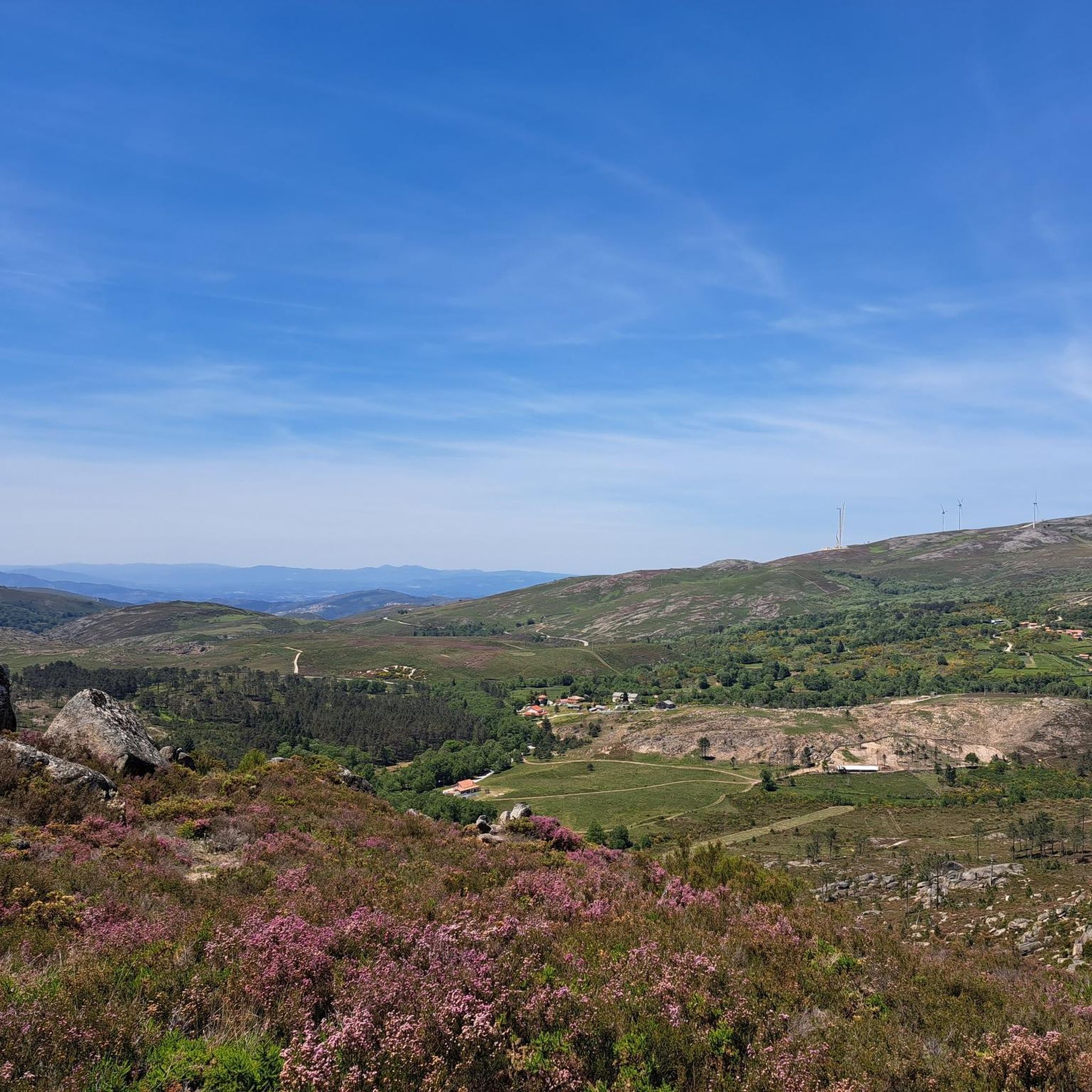
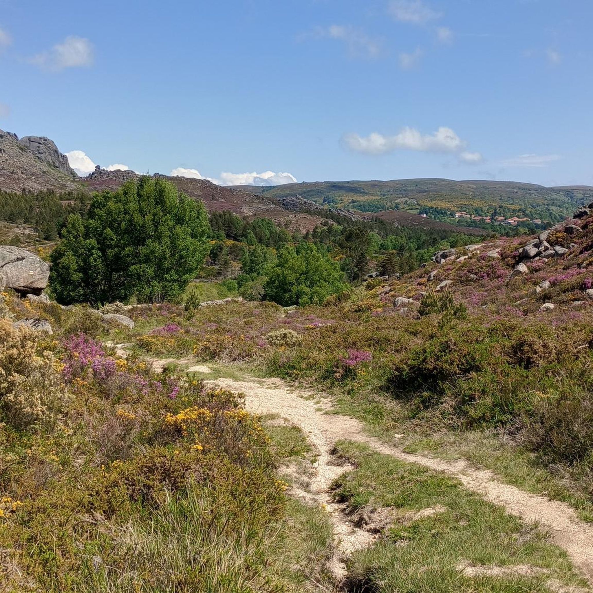
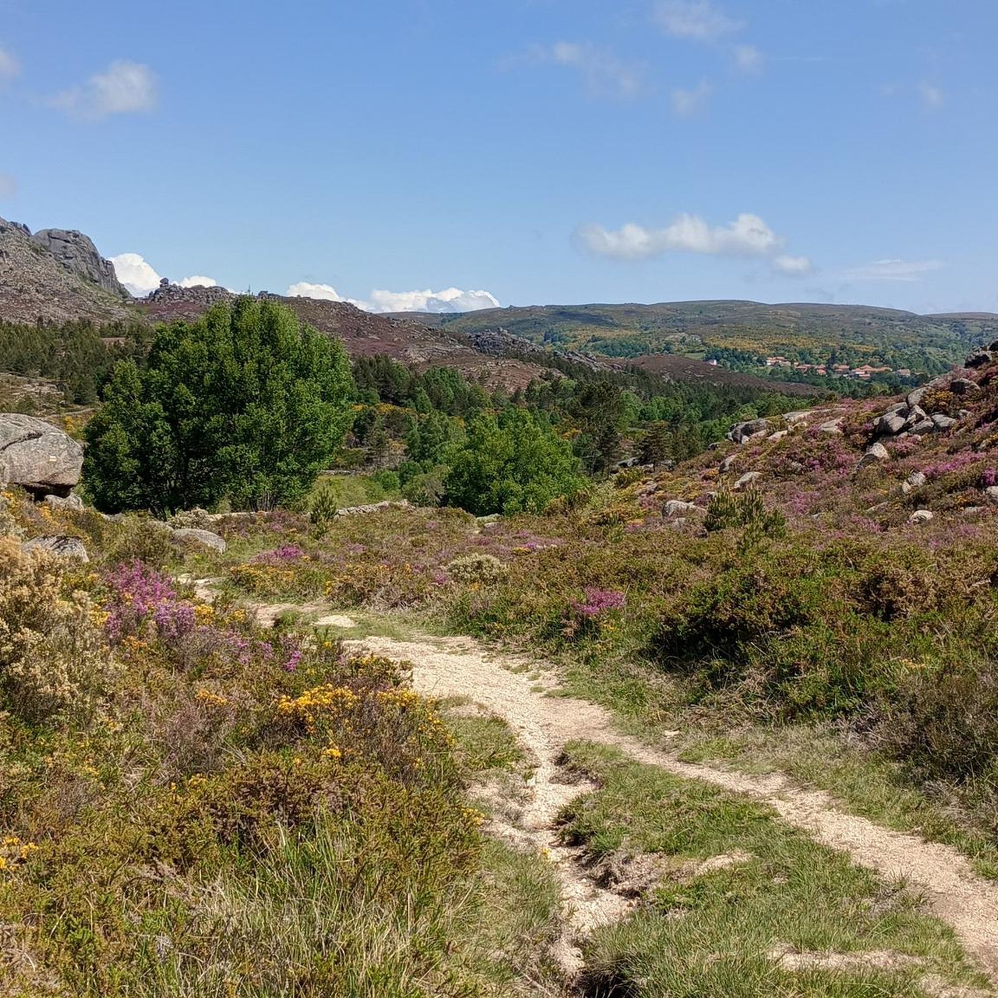
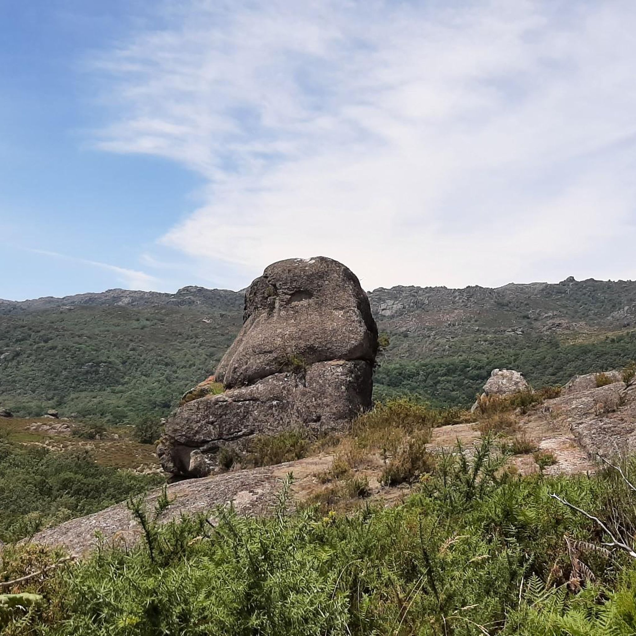
Road cycling routes around Cubalhão are situated within a hilly to mountainous region of Portugal, characterized by an average elevation of 809 meters and peaks reaching 1,211 meters. This geographical setting provides challenging terrain for cyclists, with steep roads and significant elevation changes. The area is close to the Peneda-Gerês National Park, offering rugged mountains and lush green hillsides, as well as the granite mountain range of Serra de Arga. River valleys, such as the Minho River, also provide varied…
Last updated: June 28, 2026
83
riders
97.8km
05:02
1,640m
1,640m
Hard road ride. Very good fitness required. Some segments of this route may be unpaved and difficult to ride.
55
riders
68.2km
03:19
880m
880m
Moderate road ride. Good fitness required. Mostly well-paved surfaces and easy to ride.

Sign up for free
28
riders
109km
06:11
2,260m
2,260m
Hard road ride. Very good fitness required. Mostly well-paved surfaces and easy to ride.
13
riders
49.0km
02:57
1,160m
1,160m
Hard road ride. Very good fitness required. Mostly well-paved surfaces and easy to ride.
19
riders
56.8km
02:34
560m
560m
Moderate road ride. Good fitness required. Mostly well-paved surfaces and easy to ride.
Get access to more routes and recommendations from other explorers.
Sign up for free
Already have an account?
Our route recommendations are based on thousands of hikes, rides, and runs completed by other people on komoot.
Start today with a free account
Your next adventure awaits.
Login or Signup
Tips from the Community

The wooden walkways stretch along the city walls of Monção and the banks of the Minho River to the stunning Parque das Caldas, always with views of neighboring Galicia. Inaugurated in 2021, they are a great way to reach Fortaleza de Monção.
1
0

The railway section that connected Monção to Valença was deactivated several years ago, suffering progressive degradation due to the lack of use. The Municipalities of Monção and Valença signed protocols with REFER so that, in that section, an Ecopista could be built, intended for cycling and walking. Opened on November 14, 2004, the Ecopista do Rio Minho is a route of more than 20 km, next to the river, which deserves great praise and applause from most people. Along the route, between the historic centers of Monção and Valença, there are plenty of points of interest, making this ecological route the first in Portugal to take advantage of deactivated railway lines.
1
0

In the 12th century it was the main border defense of Alto Minho, forming the northernmost guard post in Portugal on the section where the Minho River begins its border function and monitoring the crossing into Galicia (WIKIPEDIA). Today just a ruin. There is a small museum in the preserved keep.
0
0

Visiting hours: M-D: 10:00-17:00. L: closed
0
0
Starting point of the Monção-Melgaço Gran Fondo 2023.
0
0

Very flat and easy ecopath, about 20 km and then in MonÇao you can continue upstream
2
0
Starting point of the Monçao-Melgaço Gran Fondo, which takes place in September.
0
0

Very pleasant route on the banks of the Miño
1
0
Frequently Asked Questions
What is the general difficulty level of road cycling routes around Cubalhão?
The road cycling routes around Cubalhão are primarily characterized by challenging terrain. The region is hilly to mountainous, with an average elevation of 809 meters and peaks reaching 1,211 meters. You'll find a mix of moderate and difficult routes, with 9 out of 16 routes currently listed as difficult, offering significant elevation changes and steep climbs.
How many road cycling routes are available in the Cubalhão area?
There are 16 road cycling routes available around Cubalhão on komoot. These routes cater to various fitness levels, predominantly offering moderate to difficult challenges due to the region's mountainous topography.
What kind of terrain can I expect on road cycling routes near Cubalhão?
You can expect a diverse range of terrain. The area is known for its hilly to mountainous landscapes, with steep roads and significant elevation changes, especially near the Peneda-Gerês National Park and Serra de Arga. However, river valleys like the Minho also offer flatter sections, providing a varied cycling experience that contrasts with the demanding climbs.
What landmarks or points of interest can I see along road cycling routes near Cubalhão?
While cycling near Cubalhão, you can encounter several notable landmarks. These include the historic Sanctuary of Nossa Senhora da Peneda, the ancient Castro Laboreiro Castle, and the picturesque Old Bridge of Castro Laboreiro. Many routes also pass through traditional villages, offering glimpses into local culture and architecture.
Are there any natural features to explore while cycling in the Cubalhão region?
Absolutely. The Cubalhão region is rich in natural beauty. You'll find yourself cycling through rugged mountains and lush green hillsides, especially when routes venture close to the Peneda-Gerês National Park. Other natural highlights include the Bico do Patelo and the serene Meadinha Lagoon, offering stunning views and immersive experiences in nature.
Are there road cycling routes that form a loop around Cubalhão?
Yes, many road cycling routes in the area are designed as loops, allowing you to start and end at the same point. An example is the Adega Sabino – Castle of Melgaço loop from Arbo, which is a challenging 49 km ride. These loops are ideal for exploring the diverse landscapes without needing to retrace your path.
What is the best time of year for road cycling in Cubalhão?
The best time for road cycling in Cubalhão is generally during the spring and autumn months. These seasons offer milder temperatures and more stable weather conditions, making the challenging climbs and descents more enjoyable. Summer can be quite warm, especially in the valleys, while winter may bring colder temperatures and increased precipitation in the mountainous areas.
Is parking available for road cyclists in Cubalhão or nearby?
While specific parking details for Cubalhão are not extensively documented, the broader Melgaço area, which Cubalhão is part of, is developing its cycling infrastructure. Cyclists often find parking available in the main towns or villages that serve as starting points for routes. For routes originating from Arbo, for example, you can typically find parking options in or around the town center.
Can I find places to eat or stay near the cycling routes in Cubalhão?
Yes, the wider Melgaço region, including areas accessible from Cubalhão, offers various options for accommodation and dining. You'll find traditional villages along many routes where you can stop for local gastronomy or find guesthouses. Melgaço itself provides a blend of nature, culture, and culinary experiences, making it a good base for exploring the area.
What do other road cyclists say about the routes in Cubalhão?
The road cycling routes around Cubalhão are highly rated by the komoot community, with an average score of 5.0 stars. Cyclists often praise the challenging climbs, the stunning views of the mountainous terrain, and the immersive experience of cycling through the Peneda-Gerês National Park and traditional villages.
Are there any moderate road cycling routes suitable for those looking for a less intense challenge?
Yes, while many routes are difficult, there are also moderate options available. For instance, the Sistelo loop from Arbo is a 68 km trail with varied terrain, often completed in about 3 hours 17 minutes, offering a substantial ride without the extreme elevation of some other routes.
Can you recommend a challenging road cycling route with significant elevation gain?
For a truly challenging experience, consider the Veloz Cycle Cafe – Horses Near Santo António loop from Arbo. This difficult 108 km path includes substantial climbing, with over 2,200 meters of elevation gain, and typically takes around 6 hours 9 minutes to complete, offering a demanding test for experienced cyclists.
Most popular routes around Cubalhão
Most popular attractions around Cubalhão

Get inspired with the komoot mobile app


Explore more
Browse the best Road cycling routes in other regions.
