The best walks and hikes around Lapela
4.4
(182)
1,250
hikers
32
hikes
Hiking around Lapela offers a network of trails primarily characterized by riverine landscapes, recreational areas, and historical points of interest. The terrain generally features low elevation changes, making many routes accessible. Paths often follow riverbanks, connecting parks and local landmarks.
Best hiking trails around Lapela
- The most popular hiking route is Parque da Canuda Playground – Lovers' Viewpoint loop from Monção, a 3.7 miles (6.0 km) trail that takes 1 hour 35 minutes to complete. This easy loop connects…
Last updated: October 7, 2026
4.6
(5)
19
hikers
Easy hike. Great for any fitness level. Easily-accessible paths. Suitable for all skill levels.
4.3
(3)
16
hikers
Easy hike. Great for any fitness level. Easily-accessible paths. Suitable for all skill levels.

4.5
(8)
18
hikers
Moderate hike. Good fitness required. Easily-accessible paths. Suitable for all skill levels.
4.3
(4)
13
hikers
Moderate hike. Good fitness required. Easily-accessible paths. Suitable for all skill levels.
1.0
(1)
1
hikers
10.5km
02:49
130m
130m
Moderate hike. Good fitness required. Easily-accessible paths. Suitable for all skill levels.
Get access to more routes and recommendations from other explorers.
Already have an account?
Our route recommendations are based on thousands of hikes, rides, and runs completed by other people on komoot.
Start today with a free account
Your next adventure awaits.

Tips from the Community

medieval bridge that crosses the river Tea in the vicinity of the canuda park
2
0

It is possible to rent a bicycle for free (at the entrance to the Canuda park).
0
0

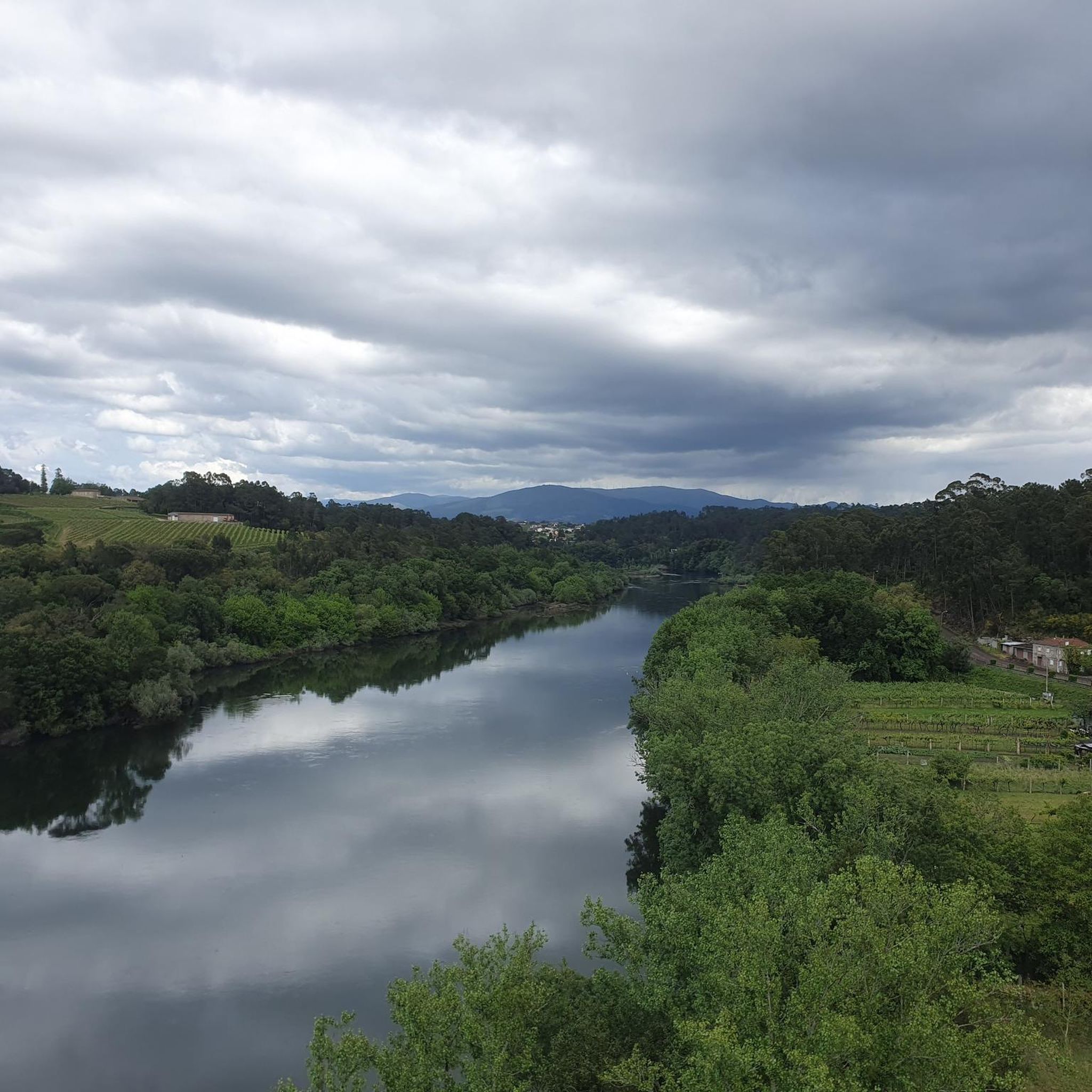
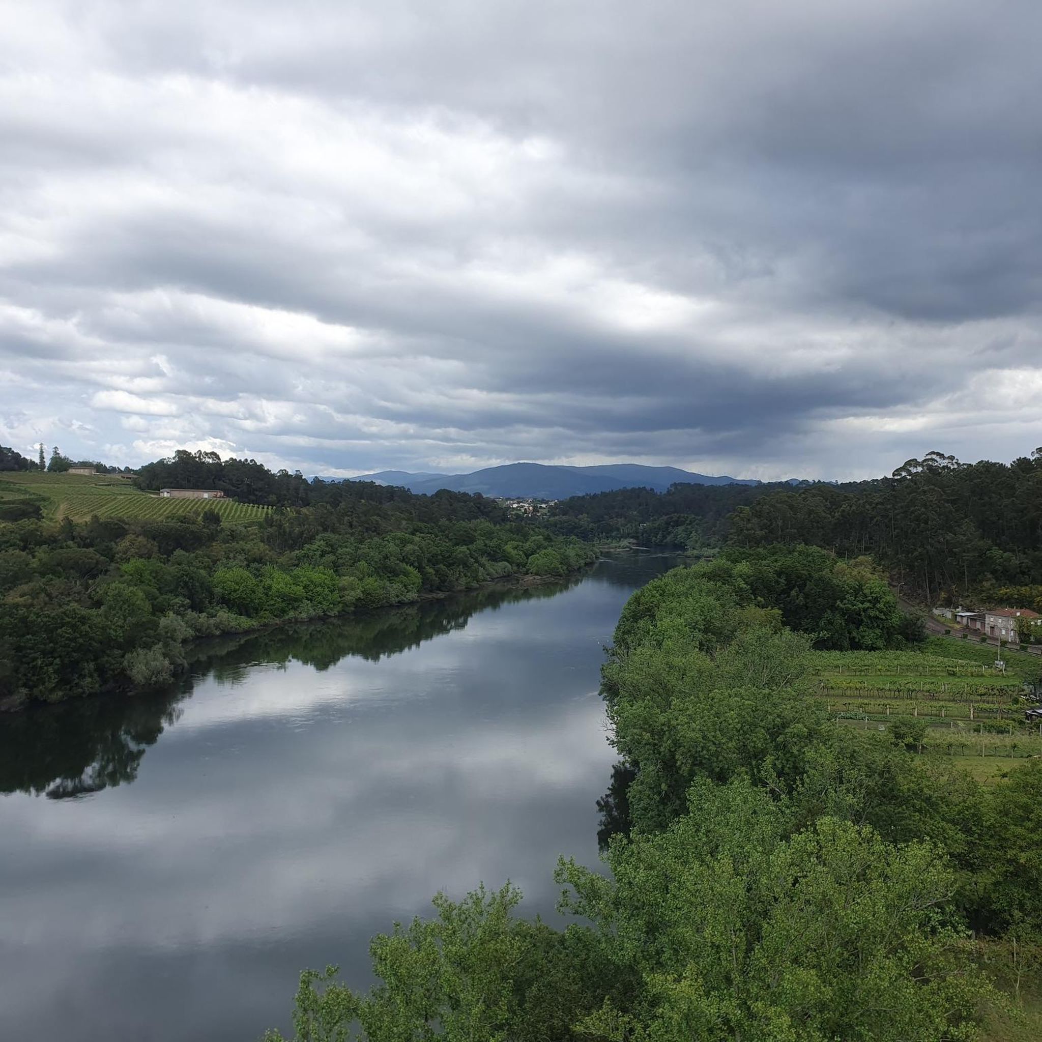
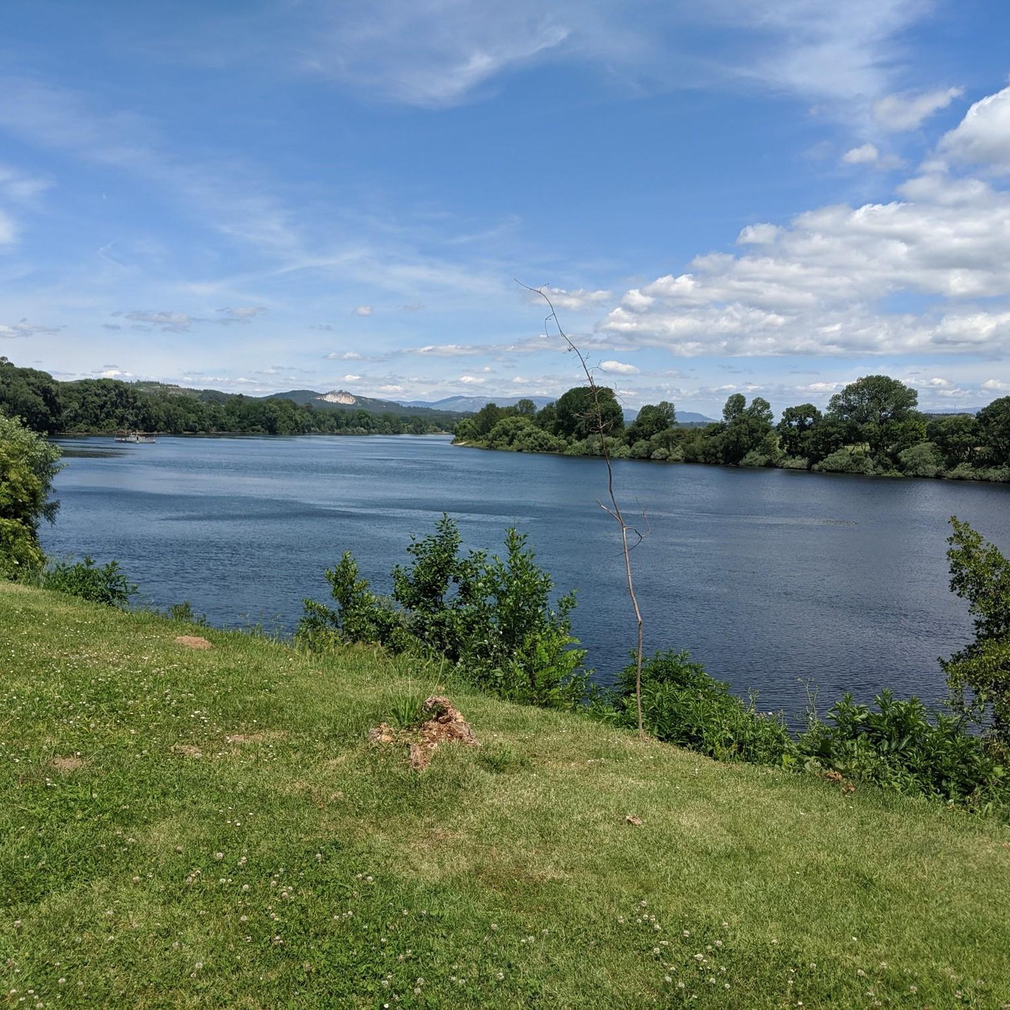
Huge park on the Miño, with a playground, pond, botanical garden, and much more
1
0
We continue with spectacular sites on this flat and easy route.
0
0
Very easy route and highly recommended
0
0

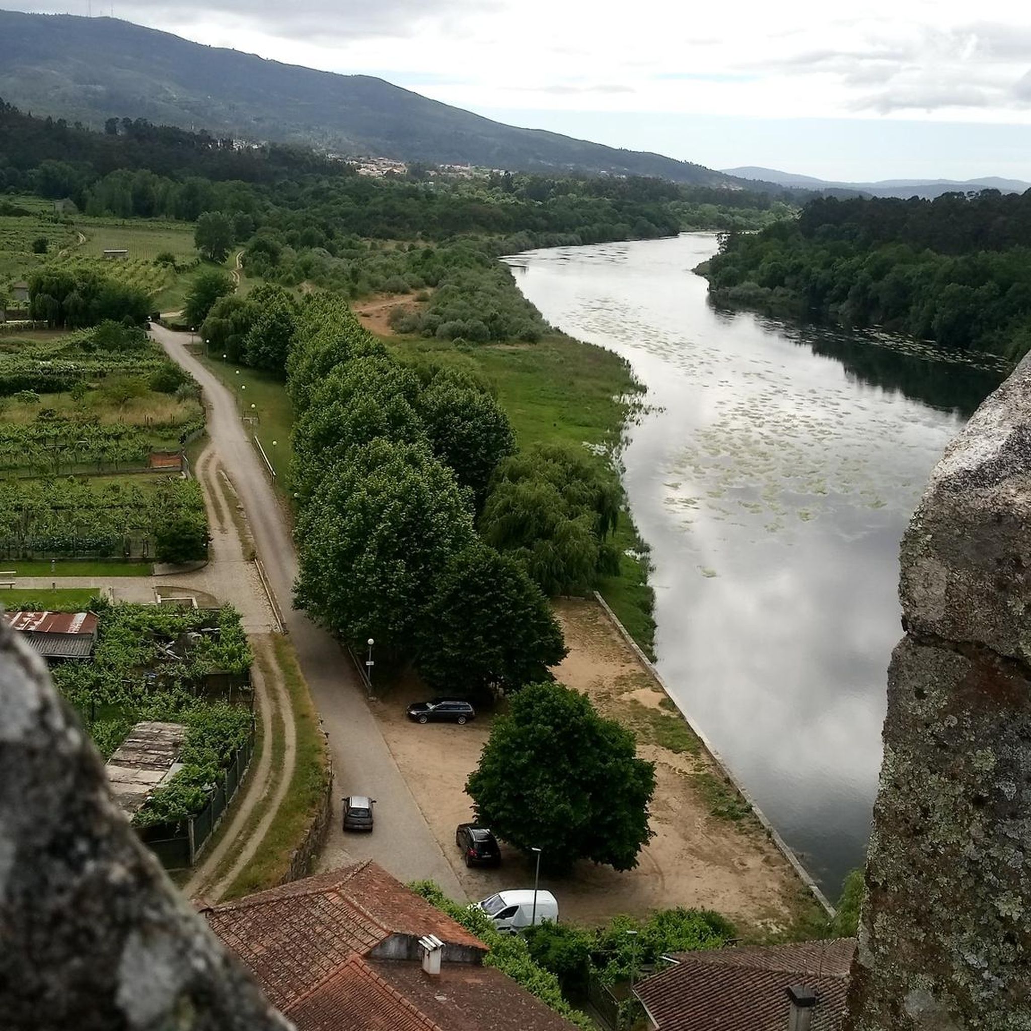
The original fortress was built almost a thousand years ago, back in the 10th or perhaps the 11th. The original wall that surrounds the castle dates from the 12th century and its main purpose was to defend the town from the constant attacks of the then Lusitanians (An Indo-European people living in the west of the Iberian Peninsula prior to its conquest by the Roman Republic and the subsequent incorporation of the territory into the Roman province of Lusitania.). In the 17th century, in the conflict of the Portuguese war of independence, it was completely renovated giving it its current appearance, although many defensive structures have disappeared over time. The plan of the fortress is rectangular and has no more and no less than 9,700 m2. Very few years ago, the only way to cross the river and go to the neighboring country was by using the ferry that joined the two banks aided by a large metallic cable that made sure that the barge was not dragged by the waters of the river. The docks and the old border customs are still preserved. A Good Reference: https://www.galiciamaxica.eu/galicia/pontevedra/comarca-do-condado/salvaterra-do-mino/fortaleza-de-salvaterra/
1
0
The Romans left their mark on the area as this was an important road that linked the region with Tui. A magnificent bridge whose first stones were placed on the riverbed by the great Roman architects. The bridge underwent great modifications, in the 15th and especially the 17h century due to the conflicts and wars with Portugal. The bridge was modified to monitor the passage to the lands of Tudenses (Tui). This is evident by the various fortifications on both sides of the bridge, which today are mostly demolished and covered by vegetation. But the most remarkable thing about this area was the location of a fortress that was part of a military network made up of fortified buildings along the Miño River. The rearmaments of its foundations are hidden under hundreds of square meters of nearby vineyards.
2
0
Frequently Asked Questions
How many hiking trails are available around Lapela?
There are over 20 hiking trails documented on komoot around Lapela, offering a variety of experiences from easy strolls to more moderate excursions. The region is known for its riverine landscapes and historical points of interest.
What kind of terrain can I expect on hikes around Lapela?
Hikes around Lapela primarily feature riverine landscapes, recreational areas, and historical sites. The terrain generally has low elevation changes, making many routes accessible. Paths often follow riverbanks, connecting parks and local landmarks.
Are there easy hiking trails suitable for beginners or families in Lapela?
Yes, Lapela offers 11 easy hiking trails perfect for beginners or families. One excellent option is the Ponte de Fillaboa – Parque da Canuda Playground loop from Salvaterra de Miño, which is 4.1 miles (6.6 km) long and features minimal elevation gain.
What are some longer hiking options for more experienced hikers in Lapela?
For those seeking a longer challenge, the Caldas Recreational Area – Bridge Over the Ameal River loop from Salvaterra de Miño is a moderate 8.0 miles (12.9 km) path that explores a recreational area and follows the Ameal River. Another good option is the Castelo de Salvaterra – Old Monção Ferry Ramp loop from Salvaterra de Miño, which is 7.7 miles (12.4 km) and leads through historical sites.
Are there any circular walks available in Lapela?
Many of the trails around Lapela are circular, allowing you to start and end at the same point. An example is the Parque da Canuda Playground – Lovers' Viewpoint loop from Monção, an easy 3.7 miles (6.0 km) route connecting a park with a scenic viewpoint.
What interesting landmarks or attractions can I see along the hiking trails in Lapela?
Hiking around Lapela allows you to discover several historical and architectural landmarks. You might encounter structures like the Roman Bridge of Orbenlle or the impressive Fortress of Valença. The Tui-Valencia International Bridge is also a notable sight.
What do other hikers enjoy most about hiking in Lapela?
The area is highly rated by the komoot community, with an average score of 4.2 stars from over 500 reviews. Hikers often praise the accessible river paths, the pleasant recreational parks, and the historical landmarks encountered along the routes.
Is there parking available near the hiking trailheads in Lapela?
Given the region's focus on recreational areas and local landmarks, parking is generally available near popular trailheads and points of interest, especially in and around towns like Monção and Salvaterra de Miño. It's advisable to check specific route details for precise parking information.
Can I reach hiking trails in Lapela using public transport?
Lapela is situated near the border, and while local bus services connect some towns, direct public transport to every trailhead might be limited. Major towns like Monção and Salvaterra de Miño are more accessible by public transport, and trails often start from or pass through these areas. Planning your route in advance and checking local transport schedules is recommended.
Are there any dog-friendly walking routes in Lapela?
Many of the natural and recreational paths around Lapela are suitable for walking with dogs, provided they are kept on a leash and you adhere to local regulations. The riverbanks and park areas offer pleasant environments for pets. Always ensure to carry water for your dog and clean up after them.
What is the best time of year to go hiking in Lapela?
The region around Lapela generally experiences a mild climate, making hiking enjoyable for much of the year. Spring and autumn offer pleasant temperatures and lush scenery, ideal for exploring. Summer can be warm, so early morning or late afternoon hikes are recommended, while winter is typically mild but can be wet.
Most popular attractions around Lapela

Get inspired with the komoot mobile app


Explore more
Browse the best Hikes in other regions.
