The best road cycling routes around Trute
4.2
(9)
1,202
riders
76
rides
Road cycling routes around Trute traverse a landscape characterized by varied elevations, including significant climbs and descents. The region features historical sites such as castles and fortresses, often situated on elevated terrain. Road cyclists can expect routes that navigate through areas with notable elevation changes, offering diverse challenges.
Best road cycling routes around Trute
- The most popular road cycling route is Castle of Melgaço – Castelo de Salvaterra loop from Salvaterra de Miño, a 60.2 miles (96.9 km) trail…
Last updated: August 22, 2026
135
riders
95.0km
05:17
1,880m
1,880m
Hard road ride. Very good fitness required. Mostly well-paved surfaces and easy to ride.
5.0
(1)
73
riders
68.9km
03:15
700m
700m
Moderate road ride. Good fitness required. Some segments of this route may be unpaved and difficult to ride.

Sign up for free
69
riders
83.4km
04:15
480m
480m
Moderate road ride. Good fitness required. Some segments of this route may be unpaved and difficult to ride.
51
riders
99.8km
04:43
1,030m
1,030m
Hard road ride. Very good fitness required. Some segments of this route may be unpaved and difficult to ride.
39
riders
87.0km
04:20
1,250m
1,250m
Hard road ride. Very good fitness required. Mostly well-paved surfaces and easy to ride.
Get access to more routes and recommendations from other explorers.
Sign up for free
Already have an account?
Our route recommendations are based on thousands of hikes, rides, and runs completed by other people on komoot.
Start today with a free account
Your next adventure awaits.
Login or Signup


Tips from the Community

Not only is the view beautiful, a quiet visit to the Fortress should be a must-do.
0
0


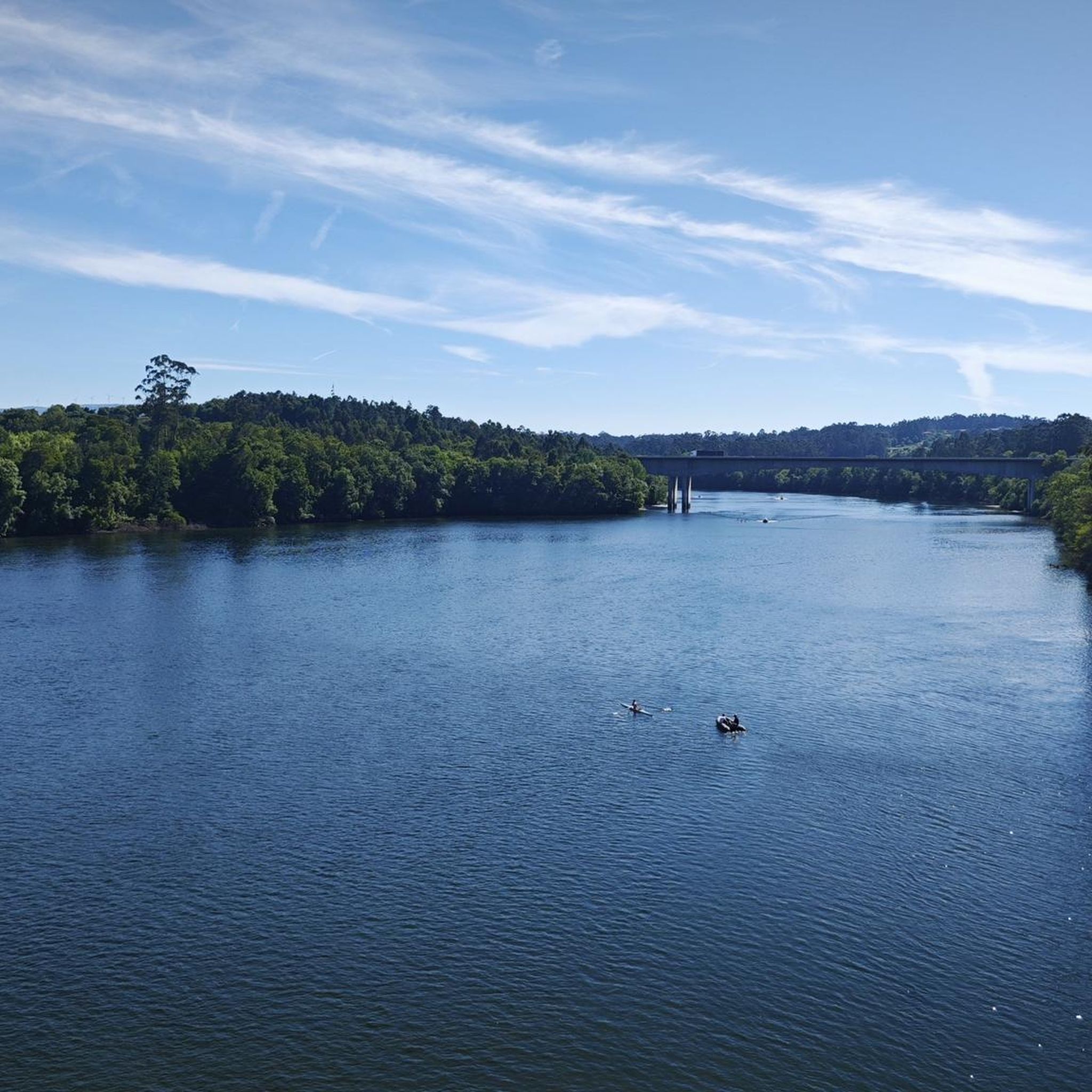
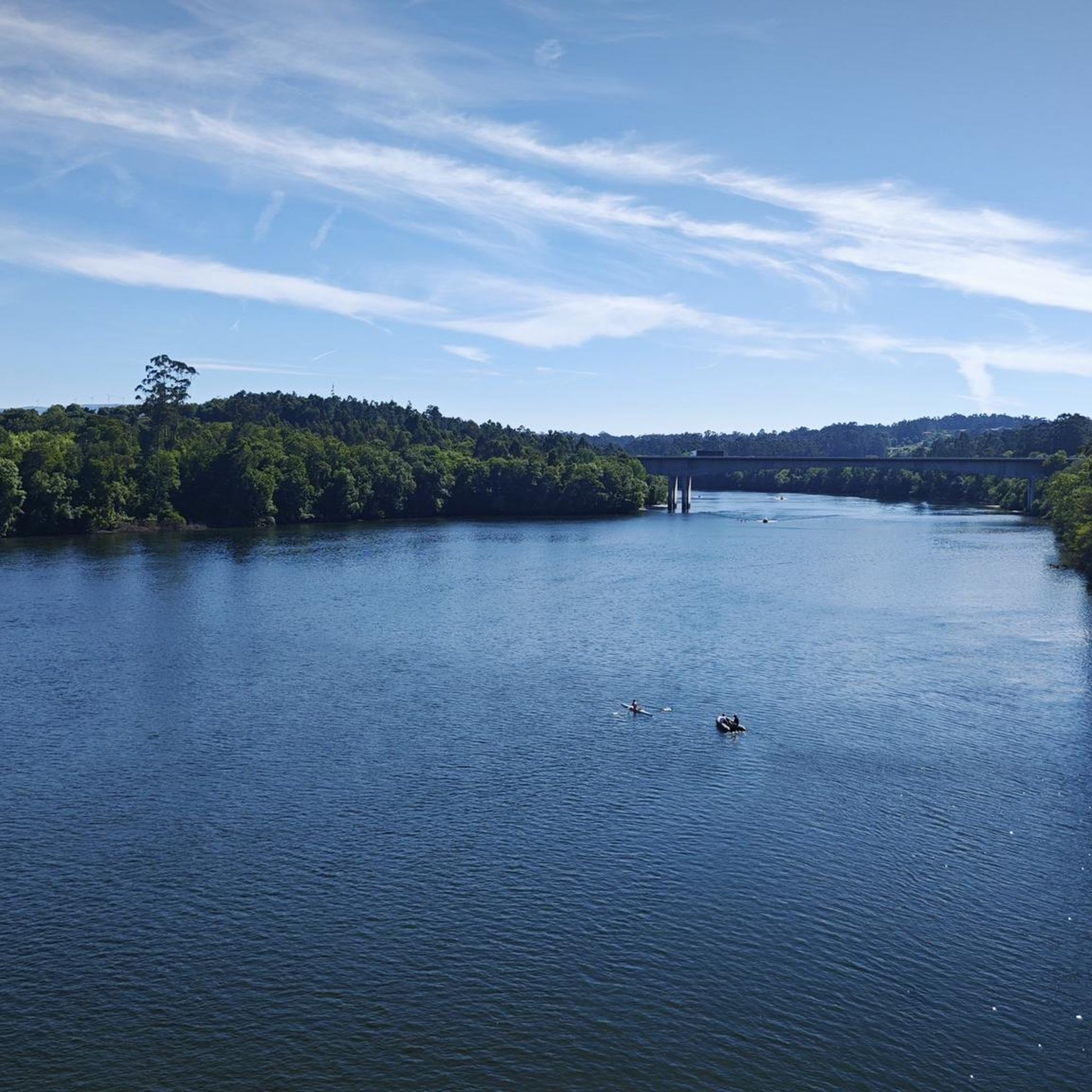
The Tui International Bridge is a landmark on the border between Portugal and Spain, connecting the Galician city of Tui to Valença, Portugal, across the Minho River. This historic metal truss bridge serves as a crossing for cars, trains, and pedestrians. It is also part of the Camino de Santiago route, offering views of the river and both cities.
1
0

the river is impeccable, it has very clean water, shade and river beaches
2
0

I recommend bringing a swimsuit. There are areas that deserve a dip ☺️
2
0

The Vez River is a mountain river located at the foot of the Serra do Soajo in the Peneda-Gerês National Park, Portugal. This river flows through the land of Arcos de Valdevez.
2
0

Bridge that connects Spain with Portugal, from the town of Tuy to Valença. As a tip, be careful, as it is narrow and the traffic passes quite close.
0
0
It is the seat of the municipality of Arcos de Valdevez, with a total area of 447.60 km2, 20,718 inhabitants in 2021 and a population density of 46 inhabitants per km2, subdivided into 36 parishes. The municipality is bordered to the north by the municipality of Monção, to the northeast by Melgaço, to the east by the Spanish region of Galicia, to the south by Ponte da Barca, to the southwest and west by Ponte de Lima and to the west by Paredes de Coura. The so-called Tournament of Arcos de Valdevez, also known as the "Recontro de Valdevez", was an important and decisive episode in the History of Portugal linked to the early days of the nation, and was the precedent for the celebration of the Treaty of Zamora in 1143. In 1662, during the Restoration War, the town was burned down by the general governor of arms of Castile, D. Baltazar Rojas Pantoja, who established his headquarters in the Paço de Giela, in an energetic offensive on the Minho. The highest point in the municipality is located in Pedrada, at an altitude of 1,416 metres, in the Serra de Soajo.
1
0
Frequently Asked Questions
How many road cycling routes are available around Trute?
There are over 60 road cycling routes around Trute, offering a wide range of options for different skill levels. The komoot community has contributed to mapping these diverse trails.
What kind of terrain can I expect on road cycling routes in Trute?
Road cycling routes around Trute are characterized by varied elevations, including significant climbs and descents. You'll find diverse terrain that offers both challenging ascents and rewarding downhill sections, often passing through areas with historical sites.
Are there routes suitable for beginners or less experienced road cyclists in Trute?
Yes, Trute offers a few routes suitable for beginners. While many routes feature significant elevation changes, there are 2 easy and 21 moderate routes available, providing options for those looking for a less strenuous ride.
What are some of the more challenging road cycling routes in Trute?
For experienced road cyclists seeking a challenge, Trute has 40 difficult routes. One such route is the Castle of Melgaço – Castelo de Salvaterra loop from Salvaterra de Miño, a 60.2-mile (96.9 km) trail with substantial elevation gain, passing between historical castles.
What historical landmarks can I see along the road cycling routes in Trute?
Many routes in Trute pass by historical sites. You can explore landmarks such as the Lapela Tower and the Salvaterra de Miño Fortress. The region's routes often connect these elevated historical points, offering scenic views.
Are there any natural features or viewpoints to enjoy while cycling in Trute?
Yes, Trute's varied terrain includes natural features and viewpoints. You might encounter the Castelo das Furnas or the unique Terraced Fields of the Vez Valley, which offer picturesque landscapes during your ride.
What do other road cyclists say about the routes in Trute?
The road cycling routes in Trute are highly rated by the komoot community, with an average score of 4.7 stars from over 9 reviews. Cyclists often praise the diverse challenges, notable elevation changes, and the opportunity to connect historical sites.
Are there any circular road cycling routes in Trute?
Yes, many of the routes in Trute are designed as loops. For example, the Castle of Melgaço – Mosteiro de San Paio de Albeos loop from Salvaterra de Miño is a difficult 47.9-mile (77.1 km) path that connects historical sites in a circular fashion.
What is a good moderate-difficulty route for road cycling in Trute?
A popular moderate route is the O Porriño Town Center – Ponte da Veiga loop from As Neves. This 42.5-mile (68.4 km) trail leads through varied terrain and is often completed in about 3 hours and 10 minutes.
Can I find routes that combine historical sites with scenic views?
Absolutely. Routes like the Valença Fortress – Castelo de Salvaterra loop from Salvaterra de Miño offer a blend of historical exploration and scenic cycling, connecting significant fortresses with varied landscapes.
Are there any long-distance road cycling routes in Trute?
For those looking for longer rides, Trute offers several options. The Adega Sabino – Melgaço Castle loop from Monção is a challenging 89.9-mile (144.7 km) route with significant elevation gain, perfect for an extended day out.
Most popular routes around Trute
Most popular attractions around Trute

Get inspired with the komoot mobile app


Explore more
Browse the best Road cycling routes in other regions.
