The best walks and hikes around Gachenbach
4.6
(511)
1,437
hikers
43
hikes
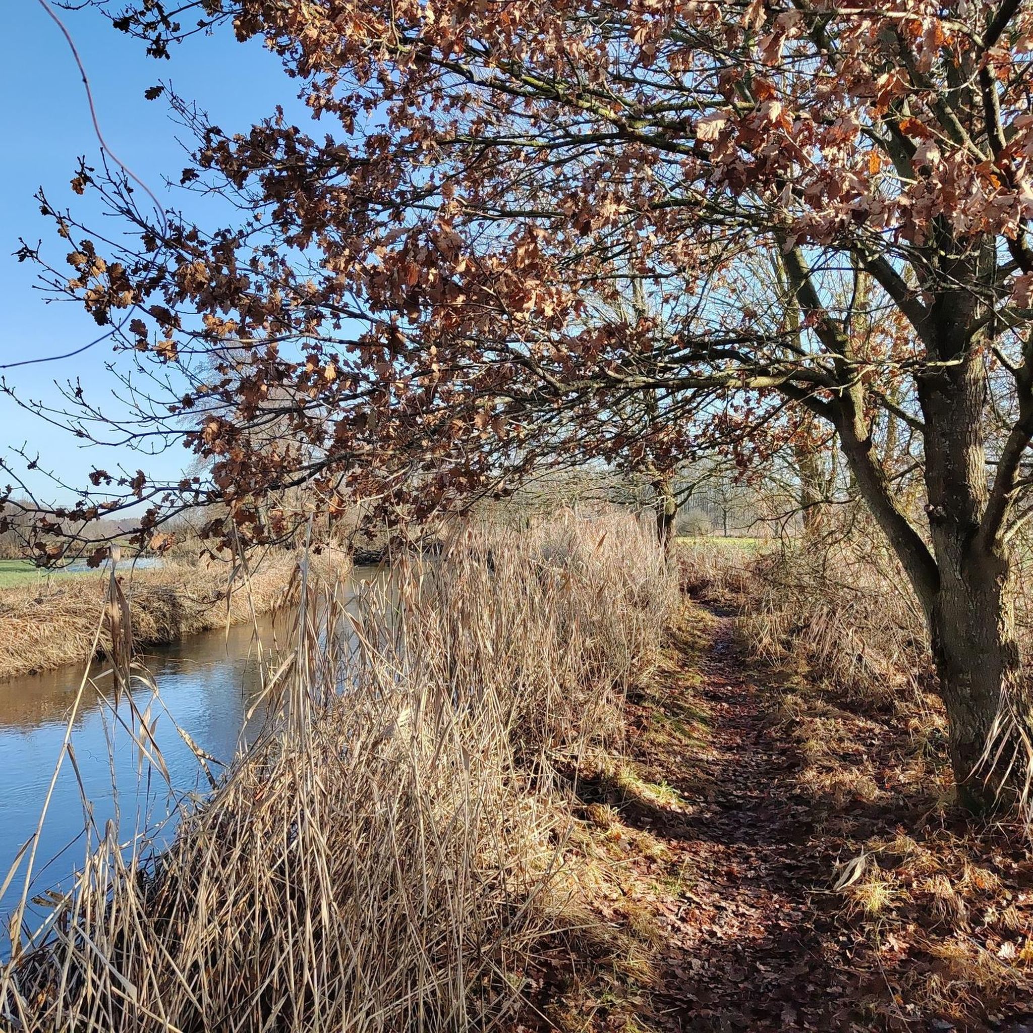
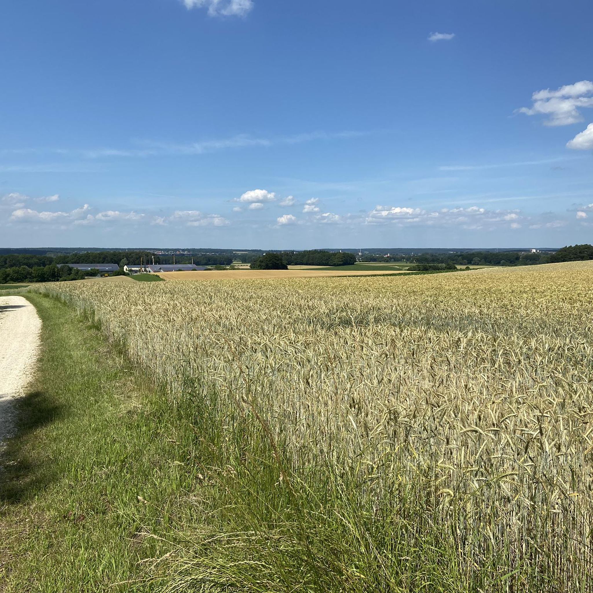
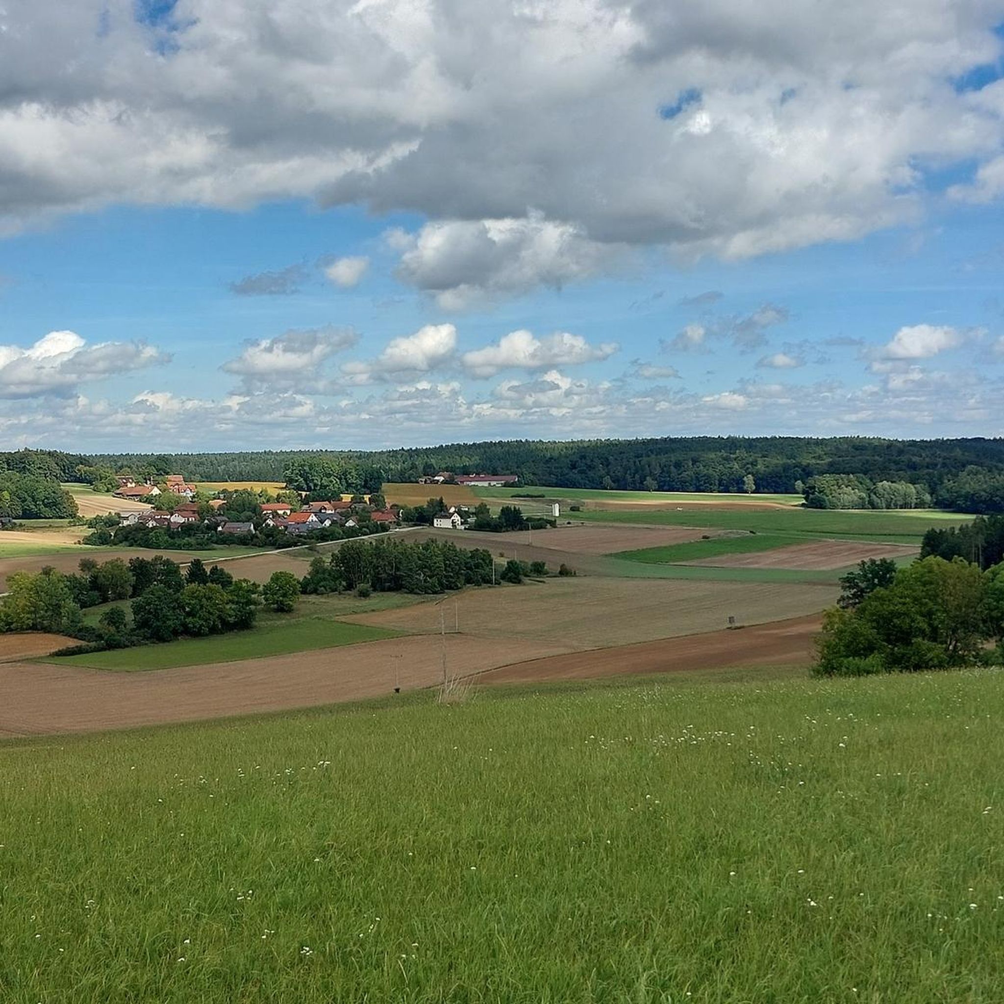
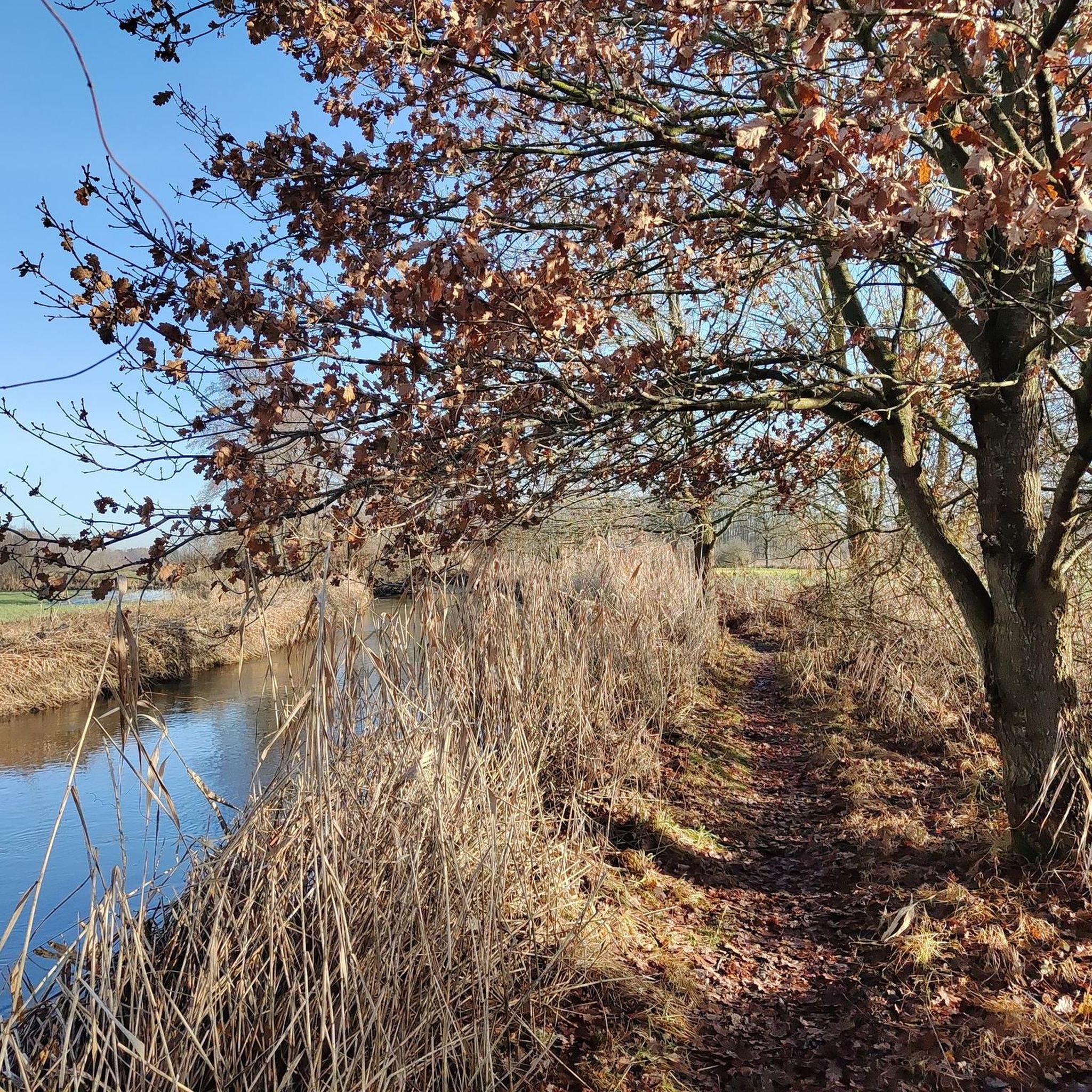
Hiking around Gachenbach offers diverse trails through a landscape characterized by forests, fish ponds, and open areas. The region provides a network of paths suitable for various preferences, from easy strolls to more challenging routes. Panoramic viewpoints are present, offering expansive views of the surrounding countryside. The terrain generally features gentle elevation changes, making it accessible for different hiking abilities.
Best hiking trails in Gachenbach
- The most popular hiking route is Chapel Near Kemnat – Ruppertszell Chapel loop from Weilach…
Last updated: August 28, 2026
8
hikers
7.96km
02:12
140m
140m
Moderate hike. Good fitness required. Easily-accessible paths. Suitable for all skill levels.
5.0
(1)
5
hikers
11.3km
03:00
110m
110m
Moderate hike. Good fitness required. Easily-accessible paths. Suitable for all skill levels.

Sign up for free
5.0
(1)
7
hikers
Easy hike. Great for any fitness level. Easily-accessible paths. Suitable for all skill levels.
5.0
(1)
5
hikers
8.37km
02:14
90m
90m
Moderate hike. Good fitness required. Easily-accessible paths. Suitable for all skill levels.
5.0
(1)
9
hikers
5.24km
01:20
20m
20m
Easy hike. Great for any fitness level. Easily-accessible paths. Suitable for all skill levels.
Get access to more routes and recommendations from other explorers.
Sign up for free
Already have an account?
Our route recommendations are based on thousands of hikes, rides, and runs completed by other people on komoot.
Start today with a free account
Your next adventure awaits.
Login or Signup
Tips from the Community


A big compliment and thank you to the Ruppertszell hiking friends, they have a wonderful hiking trail that is also very well signposted, but the rest area by the chapel is also quite unique and was donated by the hiking friends, we would like to see something like this more often!
0
0
The depiction of the Holy Family is such a beautiful point on the hiking trail and the surrounding design is also very appealing.
0
0

The mushrooms are so cute, but there's also a picnic table and benches. Someone left a couple brushes nearby to clean them off.
2
0


The door is closed but not locked, but you can get in.
0
0

Very nice place to rest and reflect..Orchards for snacking..
0
0
Frequently Asked Questions
How many hiking trails are available in Gachenbach?
Gachenbach offers a comprehensive network of over 40 hiking trails. These routes cater to various preferences, from leisurely strolls to more moderate excursions, ensuring there's something for every hiker.
What kind of landscapes can I expect to see while hiking around Gachenbach?
The region around Gachenbach is characterized by diverse natural landscapes. You'll find picturesque mixed forests, tranquil wet meadows, and serene floodplain forests, especially within the nearby Paarauen landscape protection area. Many paths also follow the peaceful Paar river and wind through expansive open plains and gentle rolling hills.
What is the best time of year to go hiking in Gachenbach?
Spring and autumn are highly recommended for hiking in Gachenbach. In spring, you'll experience blooming flora, while autumn transforms the landscape with vibrant, colorful foliage, offering a particularly scenic experience.
Are there easy hiking trails suitable for beginners in Gachenbach?
Yes, Gachenbach has plenty of easy trails. More than half of the routes, specifically 26 out of 43, are classified as easy. An example is the Hofberg Open-Air Stage Schiltberg – Lechnermühle loop from Weilach, which is an easy 4.3 miles (6.9 km) trail.
Are there circular hiking routes available in Gachenbach?
Yes, many of the hiking routes in Gachenbach are designed as circular walks, allowing you to start and end at the same point. For instance, the popular Chapel Near Kemnat – Ruppertszell Chapel loop from Weilach is a moderate 5.0 miles (8.0 km) circular trail.
What interesting landmarks or natural features can I discover on hikes near Gachenbach?
You can explore a variety of landmarks and natural features. The Altoquelle Shrine and Silberbrünnel Spring are notable natural monuments. For historical sites, consider visiting the Ancient Burial Mounds or the impressive Sandizell Water Castle.
Are there any viewpoints offering panoramic views in the Gachenbach area?
Yes, a popular route leads to the "Panoramablick" vantage point, which rewards hikers with breathtaking panoramic views of the entire surrounding region. Additionally, the Pilgrimage Church of Maria Beinberg, perched atop a freestanding hill, offers splendid vistas of the landscape.
Are the hiking trails in Gachenbach suitable for families with children?
Absolutely. The well-developed trail system in Gachenbach is family-friendly, often featuring playgrounds and designated rest areas. The gentle elevation changes and numerous easy routes make it accessible for younger adventurers.
Can I bring my dog on the hiking trails in Gachenbach?
Many trails in Gachenbach are suitable for dogs, offering open spaces and forest paths for them to enjoy. It's always a good idea to keep your dog on a leash, especially in nature protection areas like the Paarauen, and to respect local regulations.
Are there options for refreshments or places to eat along the hiking routes?
Yes, there are opportunities for refreshments. The Blumenthal Castle Beer Garden is one option for a break. The region also has various local establishments where you can stop for a meal or a drink after your hike.
How accessible are the hiking trails in Gachenbach by public transport?
While Gachenbach is primarily accessed by car, some trailheads may be reachable via local bus services. It's advisable to check local public transport schedules for specific routes and connections to the starting points of your chosen hikes.
Is parking available near the trailheads in Gachenbach?
Yes, parking is generally available near the trailheads and popular starting points for hikes in Gachenbach. Many routes, such as those starting from Weilach, offer convenient parking options for hikers.
What do other hikers enjoy most about the trails in Gachenbach?
The hiking experience in Gachenbach is highly rated by the komoot community, with an average score of 4.6 stars from over 400 reviews. Hikers often praise the diverse trails, the tranquility of the forests and ponds, and the well-maintained paths that offer varied experiences for all ability levels.
Most popular routes around Gachenbach
Most popular attractions around Gachenbach

Get inspired with the komoot mobile app


Explore more
Browse the best Hikes in other regions.
