The best road cycling routes in Gabrovo Region
32
riders
4
rides
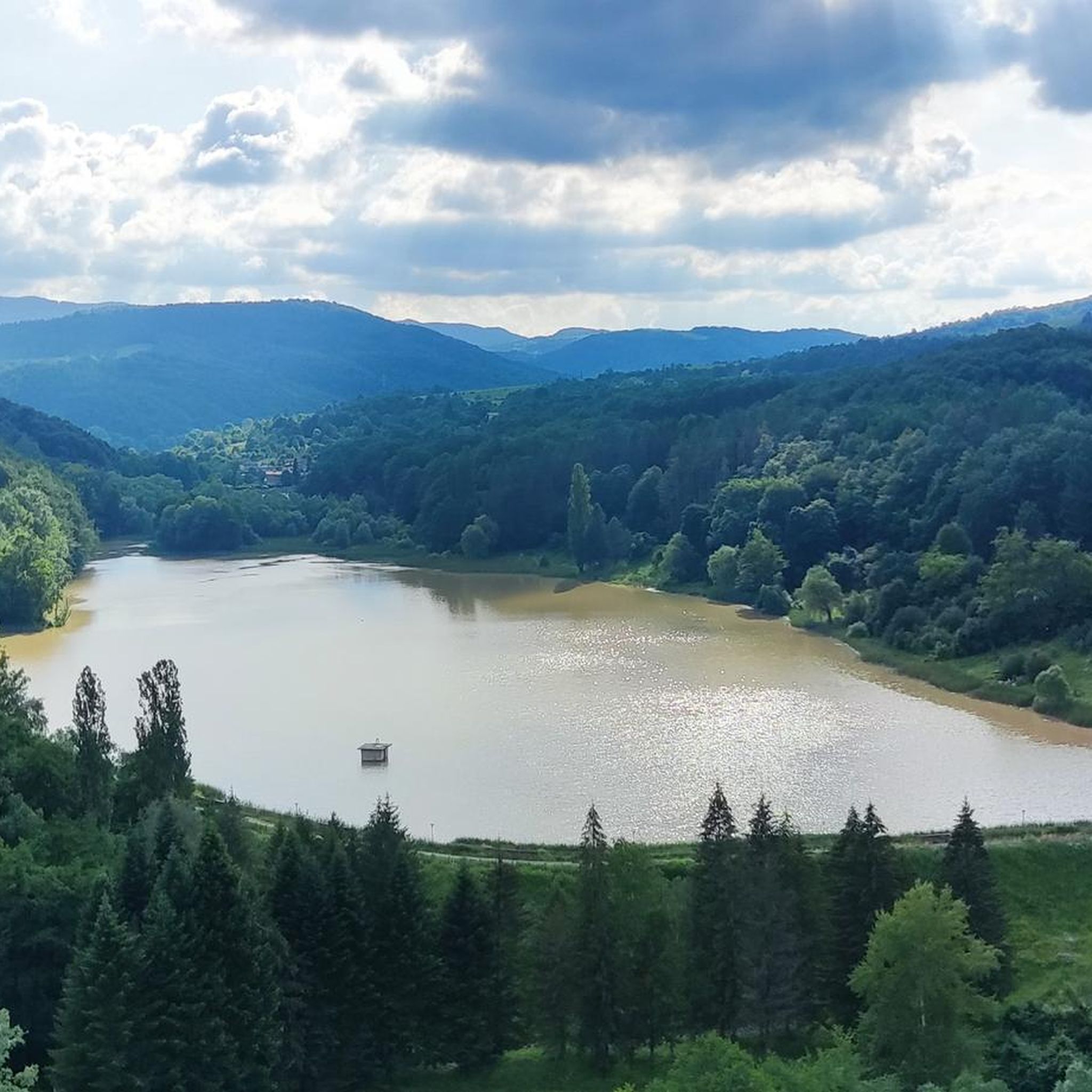
Road cycling routes in Gabrovo Region are situated on the northern slopes of the Balkan Mountains (Stara Planina), offering diverse landscapes for cyclists. The terrain features verdant valleys, rolling hills, and significant elevation gains, with routes often traversing well-paved surfaces. The region is characterized by a mosaic of coniferous and deciduous forests, mountain pastures, and rivers like the Yantra, providing varied cycling environments.
Best road cycling routes in Gabrovo Region
- The most popular road cycling route is EKO Petrol Station, Dunavtsi – Shipchenski Prohod loop from Kran, a 43.6 miles (70.1 km) trail that takes 3 hours 28 minutes to complete. This route features a challenging ascent with significant elevation gain.
- Another top favourite among local road cyclists is Яз. Горна Росица – Калето loop from ж.к. Димитър Благоев, a moderate 58.8 miles (94.6 km) path. This route offers extensive riding through varied landscapes, including views of the Balkan Mountains.
- Local road cyclists also love the Лесопарка loop from Велико Търново, a 35.6 miles (57.3 km) trail leading through forested areas and hills, often completed in about 3 hours 11 minutes.
- Road cycling in Gabrovo Region is defined by mountain passes, forested hills, and river valleys. The network offers options for different ability levels, from moderate rides to routes with significant elevation gains.
- The routes in Gabrovo Region are highly rated by the komoot community. More than 30 road cyclists have used komoot to explore Gabrovo Region's varied terrain.
Last updated: August 18, 2026
14
riders
70.2km
03:33
920m
920m
Hard road ride. Very good fitness required. Mostly well-paved surfaces and easy to ride.
7
riders
94.6km
04:28
890m
890m
Moderate road ride. Good fitness required. Some segments of this route may be unpaved and difficult to ride.

Sign up for free
5
riders
56.6km
03:02
770m
770m
Moderate road ride. Good fitness required. Mostly well-paved surfaces and easy to ride.
4
riders
27.7km
01:36
670m
670m
Moderate road ride. Good fitness required. Mostly well-paved surfaces and easy to ride.
3
riders
35.2km
01:32
320m
320m
Moderate road ride. Good fitness required. Some segments of this route may be unpaved and difficult to ride.
Our route recommendations are based on thousands of hikes, rides, and runs completed by other people on komoot.
Start today with a free account
Your next adventure awaits.
Login or Signup
Tips from the Community

The cycle path around Kazanlak is safe and comfortable to ride.
0
0
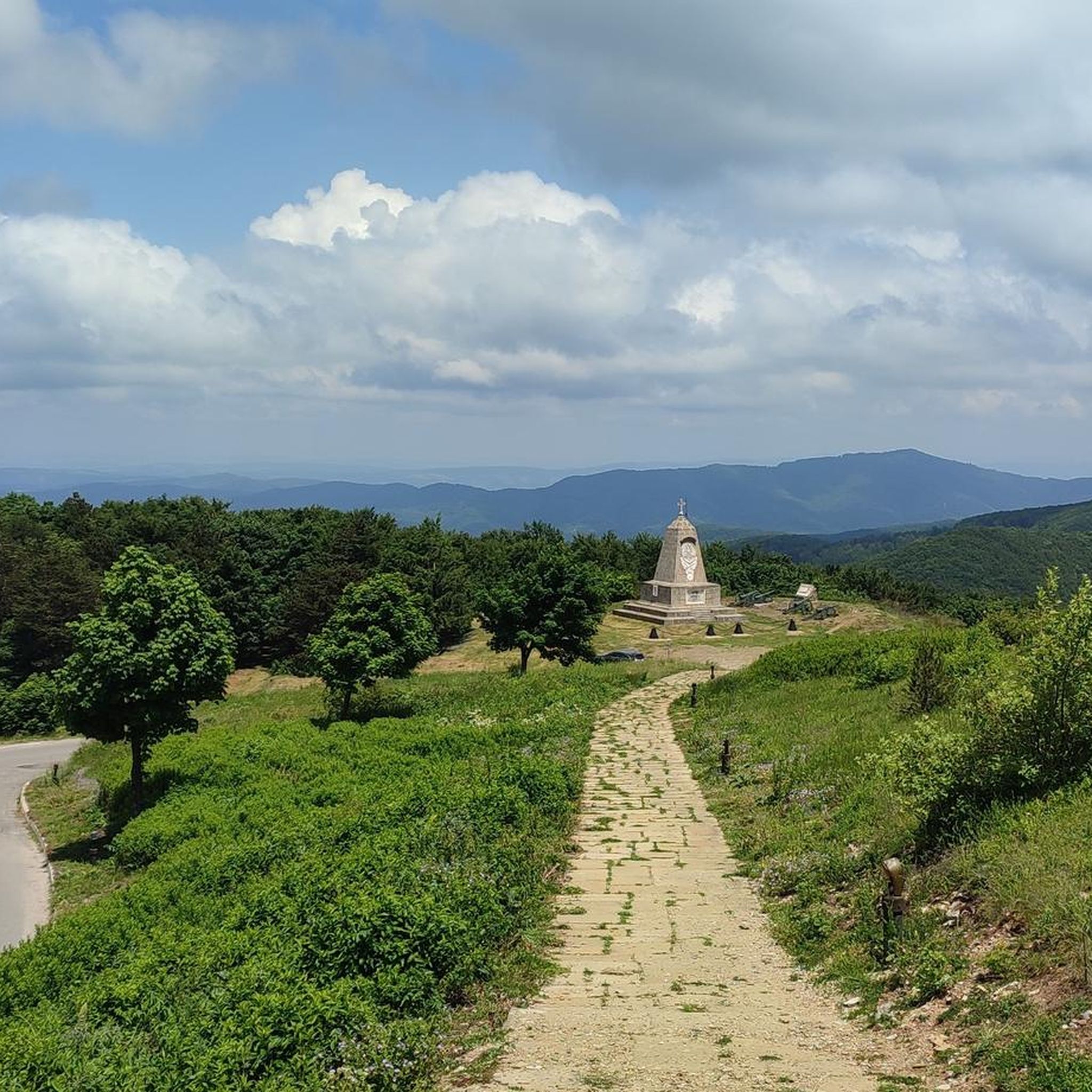
The summit of the Shipka Pass. There is a tower that is a few meters higher. Nearby is the Buzludja Monument (at 1400m). Here at the parking lot there is a restaurant and a souvenir shop.
0
0
Frequently Asked Questions
What kind of terrain can I expect on road cycling routes in Gabrovo Region?
Road cycling in Gabrovo Region offers a diverse landscape, primarily situated on the northern slopes of the Balkan Mountains (Stara Planina). You'll encounter verdant valleys, rolling hills, and routes with significant elevation gains, often on well-paved surfaces. The region features a mosaic of coniferous and deciduous forests, mountain pastures, and river valleys, providing varied cycling environments.
Are there routes suitable for beginners or those seeking an easier ride?
While many routes in the Gabrovo Region involve significant elevation, there are options for moderate rides. For example, the route Язовир Лопушница loop from Гайдари is a moderate 35.2 km path with a manageable elevation gain of around 321 meters, making it suitable for those looking for a less strenuous experience.
Are there challenging routes for experienced road cyclists?
Yes, the Gabrovo Region offers challenging routes with substantial elevation gains. The EKO Petrol Station, Dunavtsi – Shipchenski Prohod loop from Kran is a demanding 70.1 km route with an ascent of over 900 meters, featuring a challenging climb to Bogoi Pass (1185m a.s.l.).
What historical or cultural sites can I visit along road cycling routes?
The region is rich in cultural heritage. You can incorporate visits to sites like the Etar Ethnographic Open-Air Museum, which showcases traditional Bulgarian life. Other notable sites include Sokolski Monastery and Dryanovo Monastery, offering a blend of history and nature, or the architectural reserve of Bozhentsi Village.
Are there any scenic viewpoints or natural features to see while cycling?
Absolutely. The Balkan Mountains provide a backdrop of unspoiled natural beauty. You can find scenic spots like the Panoramic Viewpoint, Central Balkan National Park. The region also features Bulgarka Nature Park with its dense forests, the mild mountain landscape of the Uzana Area, and rivers like the Yantra, offering picturesque views.
What is the best time of year for road cycling in Gabrovo Region?
The Gabrovo Region is ideal for road cycling from spring through autumn. The Uzana Area, known as the geographical center of Bulgaria, is particularly pleasant in summer, offering a mild mountain climate to escape the heat. Spring and autumn provide comfortable temperatures and vibrant scenery.
Are there any loop routes available for road cycling?
Yes, several loop routes are available. For instance, the Яз. Горна Росица – Калето loop from ж.к. Димитър Благоев is a moderate 94.6 km loop offering extensive riding through varied landscapes. Another option is the Лесопарка loop from Велико Търново, a 57.3 km trail through forested areas and hills.
Is there parking available near the road cycling trailheads?
While specific parking details for each trailhead are best checked locally, many routes in the Gabrovo Region start from towns or villages like Kran, Gabrovo, or Велико Търново, where public parking options are generally available. It's advisable to research parking facilities for your chosen starting point in advance.
Can I find cafes or places to rest along the routes?
The Gabrovo Region has various towns and villages along its cycling routes, such as Gabrovo, Tryavna, and Sevlievo, where you can find cafes, restaurants, and shops for refreshments and rest. Smaller villages may have limited options, so planning your stops, especially on longer routes, is recommended.
Are there any routes that feature waterfalls or rivers?
Yes, the region is home to rivers like the Yantra, which offers flat, peaceful routes. The Gabrovo waterfalls (Gabrovo Waterfall I, II, and III) are also scenic spots, though some may require a short detour or hike from road cycling paths. These natural features add to the region's beauty.
What are the typical elevation gains on routes in the Gabrovo Region?
Road cycling routes in the Gabrovo Region often feature significant elevation gains due to its mountainous terrain. For example, the EKO Petrol Station, Dunavtsi – Shipchenski Prohod loop from Kran has an elevation gain of over 900 meters, while the Шипченски проход loop from Shipka involves an ascent of over 770 meters.
Are there long-distance road cycling routes in the region?
The Gabrovo Region offers routes that can be combined for longer distances, with tracked routes up to 233.5 km. An example of a substantial single route is the Яз. Горна Росица – Калето loop from ж.к. Димитър Благоев, which covers 94.6 km, providing an extensive ride through varied landscapes.
Most popular routes in Gabrovo Region
Most popular attractions in Gabrovo Region

Get inspired with the komoot mobile app


Didn’t find what you were looking for?
Check out more Road cycling routes throughout Gabrovo Region below and find the perfect route in your destination.
Explore more
Browse the best Road cycling routes in other regions.
