The best walks and hikes around Gablingen
4.5
(106)
512
hikers
87
hikes
Hiking around Gablingen offers diverse natural landscapes, shaped by the Schmutter River and its surrounding floodplains. The region features gentle river valleys, the tranquil Gablinger Baggersee, and extends towards the forested areas of the Naturpark Augsburg Westliche Wälder. Trails often include views of local landmarks and provide access to varied terrain, from riverside paths to more elevated sections.
Best hiking trails around Gablingen
- The most popular hiking route is Forest Adventure Trail Hub – Lürzelburg Water Tower loop from Gablingen…
Last updated: October 7, 2026
4.7
(13)
33
hikers
11.3km
03:02
130m
130m
Moderate hike. Good fitness required. Easily-accessible paths. Suitable for all skill levels.
4.5
(6)
29
hikers
12.0km
03:18
200m
200m
Moderate hike. Good fitness required. Easily-accessible paths. Suitable for all skill levels.

4.4
(7)
34
hikers
Easy hike. Great for any fitness level. Easily-accessible paths. Suitable for all skill levels.
4.3
(6)
23
hikers
Easy hike. Great for any fitness level. Easily-accessible paths. Suitable for all skill levels.
4.0
(2)
18
hikers
4.45km
01:11
40m
40m
Easy hike. Great for any fitness level. Easily-accessible paths. Suitable for all skill levels.
Get access to more routes and recommendations from other explorers.
Already have an account?
Our route recommendations are based on thousands of hikes, rides, and runs completed by other people on komoot.
Start today with a free account
Your next adventure awaits.

Other adventures around Gablingen

Tips from the Community

Currently no donkey, but goats and this, unfortunately private, resting place
0
0

The Schmutter is a 96-kilometer-long river in the Bavarian administrative district of Swabia, which flows through the Achsheim district of the municipality of Langweid am Lech. In this section, the Schmutter offers a wide range of opportunities for nature lovers and anglers. Fishing on the Schmutter near Achsheim: The Schmutter near Achsheim is a popular fishing water with a rich fish population. Anglers can catch brown trout, rainbow trout, carp and perch, among other things. The stretch is managed by the 1st Augsburg Anglers Club and the Augsburg Fishing Association. Guest cards are available; further information can be found on the Augsburg Fishing Association website. Leisure activities: In addition to fishing, the area around the Schmutter near Achsheim is ideal for walks and bike rides. The natural landscape offers rest and relaxation away from the hustle and bustle of the city.
1
0
The Schmutter is a 96-kilometer-long river in the Bavarian administrative district of Swabia that flows past Gablingen. It rises in the Stauden, about three kilometers west of Siebnach, and flows into the Danube from the right opposite Donauwörth. In Gablingen, the Schmutter shapes the landscape and offers a wide range of leisure opportunities. Cycling and hiking trails run along the river, inviting you to explore the surrounding nature. The section with a view of Gablingen Castle is particularly attractive and is ideal for walks and bike rides. In June 2024, Gablingen experienced a flood event in which the Schmutter overflowed its banks and flooded parts of the town. Some streets were affected and water penetrated basements and living areas. The Schmutter is not only a scenic highlight, but also an important habitat for numerous animal and plant species. It contributes significantly to the region's biodiversity and is a popular destination for nature lovers.
1
0
The Schmutter is a 96-kilometer-long river in the Bavarian administrative district of Swabia that flows past Gablingen. It rises in the Stauden, about three kilometers west of Siebnach, and flows into the Danube from the right opposite Donauwörth. In Gablingen, the Schmutter shapes the landscape and offers a wide range of leisure opportunities. Cycling and hiking trails run along the river, inviting you to explore the surrounding nature. The section with a view of Gablingen Castle is particularly attractive and is ideal for walks and bike rides. In June 2024, Gablingen experienced a flood event in which the Schmutter overflowed its banks and flooded parts of the town. Some streets were affected and water penetrated basements and living areas. The Schmutter is not only a scenic highlight, but also an important habitat for numerous animal and plant species. It contributes significantly to the region's biodiversity and is a popular destination for nature lovers.
1
0
The Schmutter is a 96-kilometer-long river in the Bavarian administrative district of Swabia that flows past Gablingen. It rises in the Stauden, about three kilometers west of Siebnach, and flows into the Danube from the right opposite Donauwörth. In Gablingen, the Schmutter shapes the landscape and offers a wide range of leisure opportunities. Cycling and hiking trails run along the river, inviting you to explore the surrounding nature. The section with a view of Gablingen Castle is particularly attractive and is ideal for walks and bike rides. In June 2024, Gablingen experienced a flood event in which the Schmutter overflowed its banks and flooded parts of the town. Some streets were affected and water entered basements and living areas. The municipality provided information about this on its official website. The Schmutter is not only a scenic highlight, but also an important habitat for numerous animal and plant species. It contributes significantly to the biodiversity in the region and is a popular destination for nature lovers.
2
0


At this point you cross the Schmutter. In summer, its banks are bursting with lush greenery.
2
0

Stands beautifully in the forest.
0
0
Frequently Asked Questions
How many hiking trails are available in Gablingen?
Gablingen offers a wide selection of hiking opportunities, with over 80 trails available for exploration. These routes cater to various preferences, ranging from easy strolls to more moderate excursions.
Are there easy hiking trails suitable for beginners or families in Gablingen?
Yes, Gablingen has numerous easy trails perfect for beginners or families. Over 50 routes are classified as easy, often following the gentle paths along the Schmutter River or around the Gablinger Baggersee. A good option for a relaxed walk is the View of the Schmutter River – Bridge Over the Schmutter loop from Gablingen, which is about 3.5 miles (5.6 km) long.
Can I find circular hiking routes around Gablingen?
Many of the hiking routes in Gablingen are designed as circular trails, allowing you to start and end at the same point. For example, the popular Forest Adventure Trail Hub – Lürzelburg Water Tower loop from Gablingen offers a varied circular experience through local forests.
Are Gablingen's hiking trails dog-friendly?
Most trails in Gablingen are suitable for dogs, especially those through natural landscapes like the Schmutter River valley and the surrounding forests. Always ensure your dog is on a leash where required and be mindful of local wildlife and other hikers. The Schloss Gablingen loop from Gablingen is a pleasant, shorter option for a walk with your dog.
What natural features or landmarks can I expect to see while hiking in Gablingen?
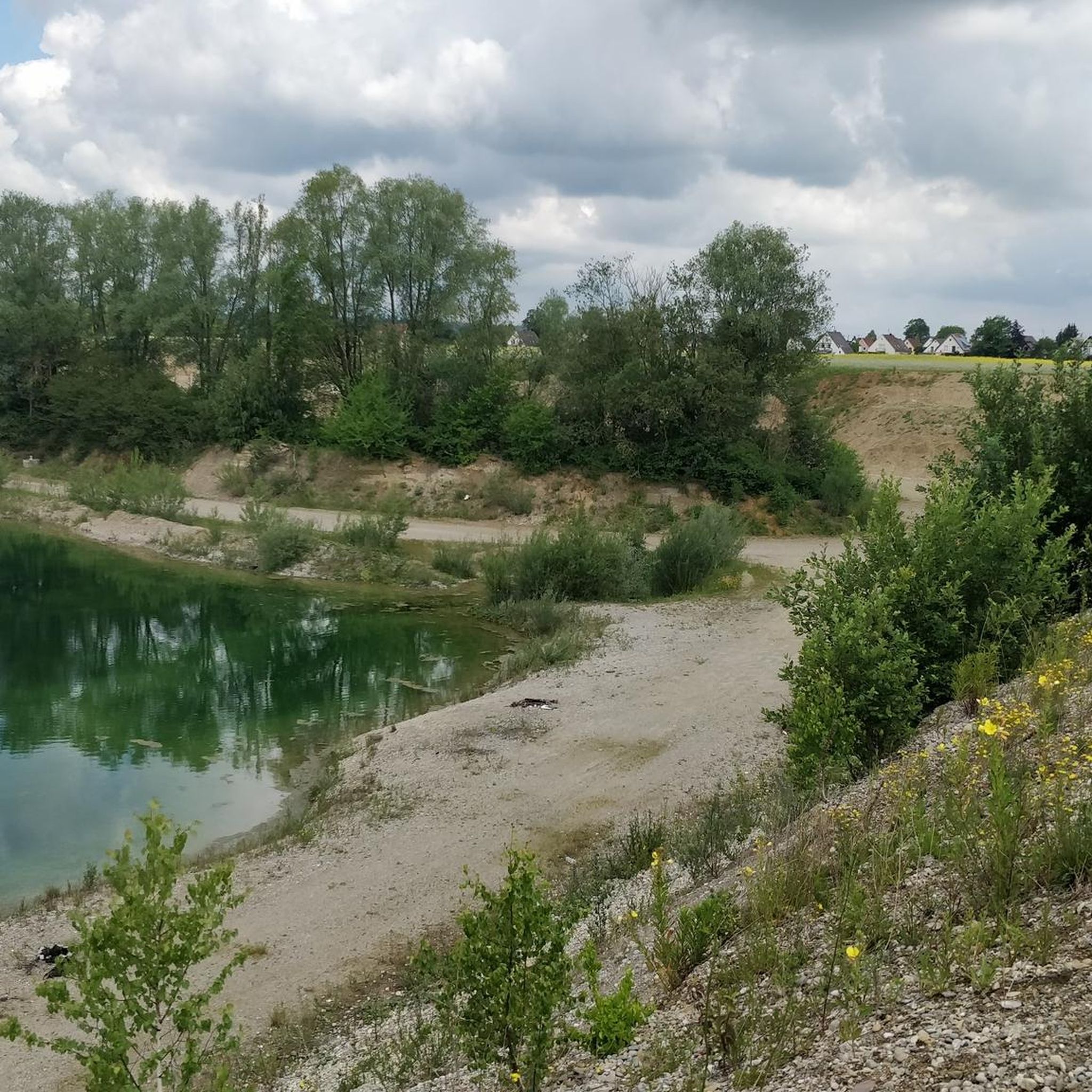
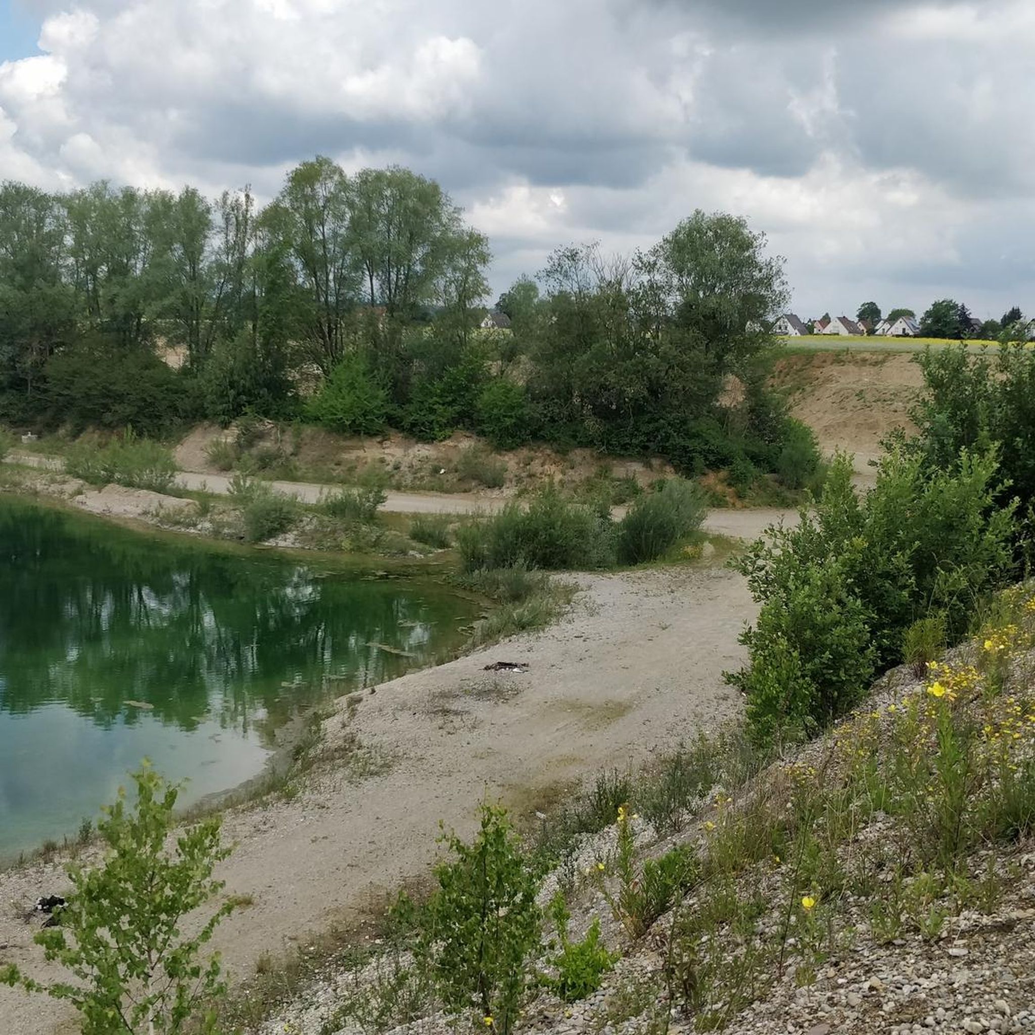
Gablingen's hiking trails showcase diverse natural features. You'll frequently encounter the scenic Schmutter River, which shapes the landscape, and the tranquil Gablinger Baggersee, a popular lake for relaxation. The region is also near the Naturpark Augsburg Westliche Wälder, offering expansive forested areas. Keep an eye out for the striking steep slopes of the Hühnerberg natural monument along the Schmutter.
Are there any specific attractions or points of interest along the hiking routes?
Yes, several routes offer views of local landmarks. You can often catch a glimpse of Gablingen Castle during riverside walks. Additionally, the Covered bridge over the Schmutter River is a charming highlight along some paths. For a refreshing stop, the Gablinger Baggersee is a great spot for swimming and picnicking; you can find more information about it on augsburg-tourismus.de.
What is the best time of year to go hiking in Gablingen?
Gablingen offers enjoyable hiking experiences throughout the year. Spring brings blooming nature, while summer is ideal for combining hikes with a swim in the Gablinger Baggersee. Autumn provides beautiful foliage, and even winter hikes can be peaceful, especially along the Schmutter River, though some paths might be muddy or icy.
How can I get to the hiking trails in Gablingen using public transport?
Gablingen is integrated into regional public transport networks, making it accessible. Specific bus routes connect Gablingen with Augsburg and surrounding areas, allowing you to reach various trailheads. It's advisable to check local bus schedules for the most current information on routes and stops that align with your chosen hiking starting point.
Is parking available near the trailheads in Gablingen?
Yes, parking is generally available near popular trailheads and points of interest in Gablingen. Many routes start from easily accessible locations within the municipality or at the edge of natural areas, where designated parking spots can be found. Always look for local signage regarding parking regulations.
What do other hikers say about their experience in Gablingen?
The hiking trails in Gablingen are highly regarded by the komoot community, boasting an average rating of 4.5 stars from over 80 reviews. Hikers frequently praise the varied terrain, the peaceful atmosphere along the Schmutter River, and the well-maintained paths that lead through both open landscapes and wooded sections.
Are there any longer or more challenging hikes for experienced hikers?
While Gablingen is known for its accessible trails, there are options for more experienced hikers seeking longer distances or slightly more elevation. The region's proximity to the Naturpark Augsburg Westliche Wälder provides opportunities for extended walks. One moderate option is the Curious Donkeys – St. Nicholas Chapel loop from Gablingen, which covers about 7.4 miles (11.9 km) and includes varied landscapes.
Can I combine hiking with other activities like swimming in Gablingen?
Absolutely! The Gablinger Baggersee is a perfect spot to combine hiking with swimming and relaxation. Its spacious green areas are ideal for sunbathing or picnicking, and the shallow shores make it family-friendly. Paths around the lake also offer pleasant, leisurely strolls.
Most popular routes around Gablingen
Most popular attractions around Gablingen

Get inspired with the komoot mobile app


Explore more
Browse the best Hikes in other regions.
