The best walks and hikes around Vila De Punhe
4.3
(228)
1,554
hikers
63
hikes
Hiking trails around Vila De Punhe traverse a landscape shaped by the Neiva River, offering routes that follow its course and explore the surrounding rural areas. The region features gentle elevations, with some trails leading to scenic viewpoints. The terrain primarily consists of riverine paths, agricultural lands, and small village connections, providing a mix of natural and cultural exploration.
Best hiking trails around Vila De Punhe
- The most popular hiking route is Neiva River Trail – Casa da Azenha Branca…
Last updated: November 3, 2026
4.1
(10)
44
hikers
12.4km
03:22
190m
180m
Moderate hike. Good fitness required. Easily walkable paths.
4.1
(7)
44
hikers
8.97km
02:18
40m
40m
Moderate hike. Good fitness required. Easily walkable paths.

4.5
(2)
7
hikers
Moderate hike. Good fitness required. Easily walkable paths.
5.0
(1)
8
hikers
8.35km
02:22
190m
190m
Moderate hike. Good fitness required. Easily walkable paths.
4.0
(1)
2
hikers
8.47km
02:17
110m
110m
Moderate hike. Good fitness required. Easily walkable paths.
Get access to more routes and recommendations from other explorers.
Already have an account?
Our route recommendations are based on thousands of hikes, rides, and runs completed by other people on komoot.
Start today with a free account
Your next adventure awaits.
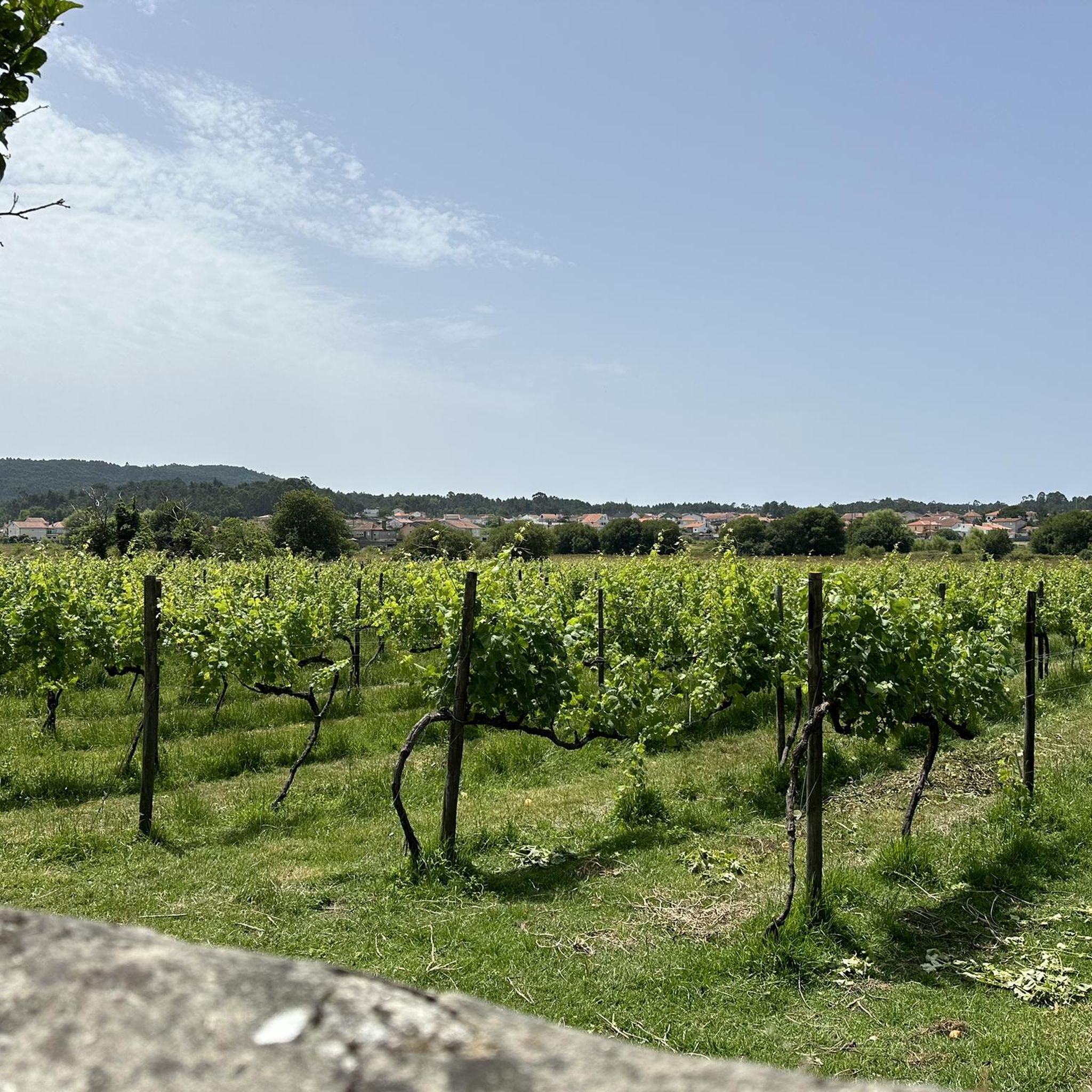
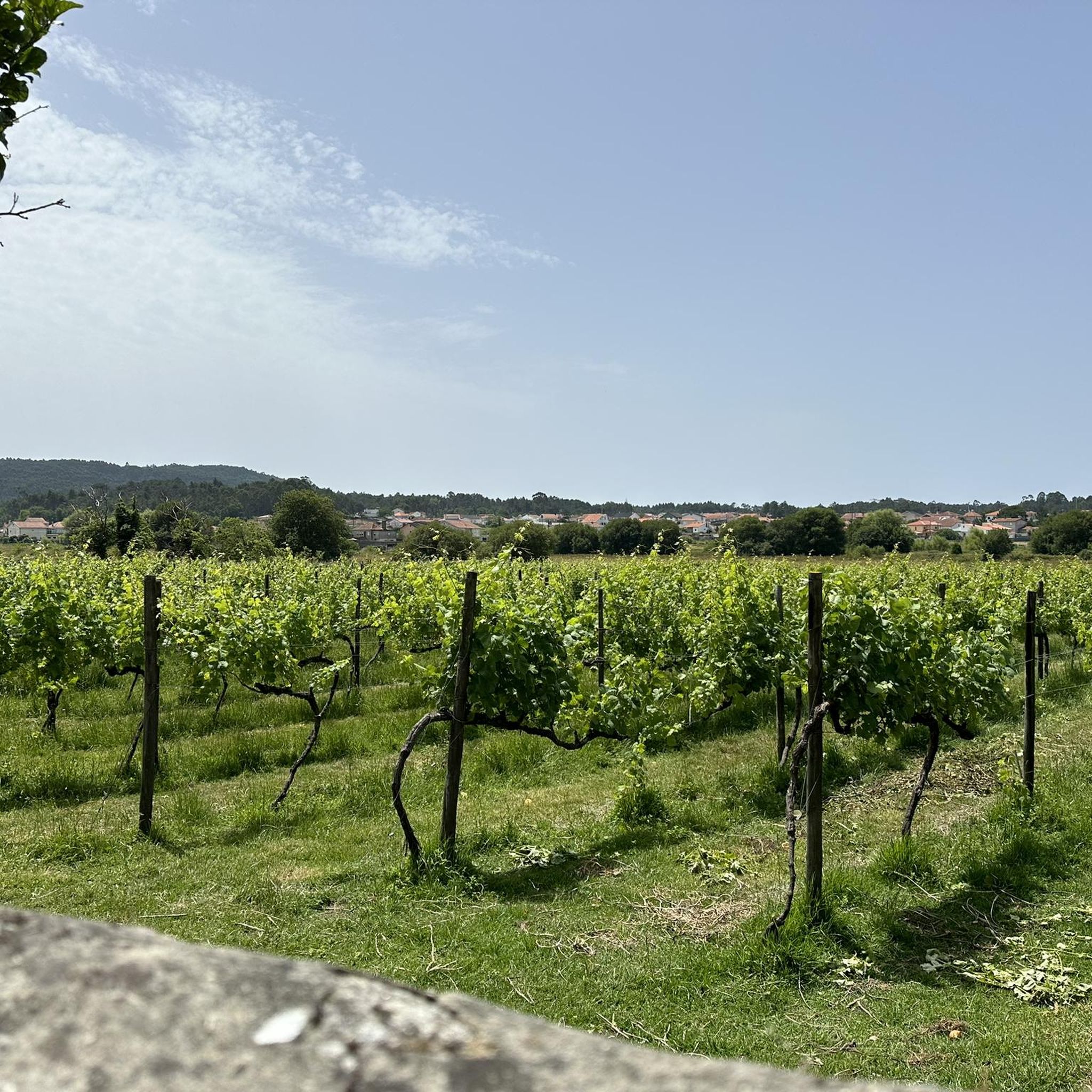

Tips from the Community

A wonderfull nature walk reminding me of walks in Newcastle, NSW Australia
0
0

Key Information Location: Neiva River, on the border of the municipalities of Esposende and Viana do Castelo, Portugal. History: The original bridge was built in 1930 at the behest of the owner of a watermill and a fishing lodge that existed on the site at that time. Renovation: Over time, the bridge suffered damage due to the impact of fallen trees during storms. In 2020, the reconstruction of the bridge was announced, in a project financed in equal parts by the two neighboring municipalities. North Coast Ecovia: The stone bridge (reconstructed or restored) is part of a set of green infrastructures that make up the North Coast Ecovia, a pedestrian and cycle path that enhances the Neiva River estuary and connects the two municipalities, offering a bucolic and tranquil environment for walks. The bridge is a picturesque spot, frequently visited by those traveling along the ecovia, inviting a peaceful stroll and observation of the surrounding nature.
2
0
The Stone Bridge over the Neiva River, also known as Sebastião's Bridge, is a historic bridge that connects the banks of the Neiva River, serving as a border between the municipalities of Esposende (Antas parish) and Viana do Castelo (Castelo do Neiva parish), in Portugal.
2
0
Other Bridges Cávado Bridge (Planned): There is a project underway by the municipality of Esposende to build a pedestrian and cycle bridge over the Cávado River, which will connect the Cávado Ecovia to the North Coast Ecovia.
2
0
The Bridge over the Neiva River Location: The bridge is located in the parish of Antas, in the municipality of Esposende, near the mouth of the Neiva River. Characteristics: It is a pedestrian and cycle bridge with a modern design and remarkable architecture, inaugurated in 2019, which integrates perfectly into the bucolic environment of the riverbanks. Access and Use: The bridge is a crossing point on the North Coast Ecovia, accessible 24 hours a day, and invites leisurely walks or bike rides along the river. The site is wheelchair accessible and has accessible parking.
2
0
The North Coast Ecovia features a remarkable pedestrian and cycle bridge over the Neiva River, which is one of the highlights of the route. The municipality of Esposende also has plans for a new bridge on the Cávado Ecovia to connect with the North Coast Ecovia.
2
0

A very beautiful area on the banks of the Neiva River with a wooded area ideal for a picnic.
1
0

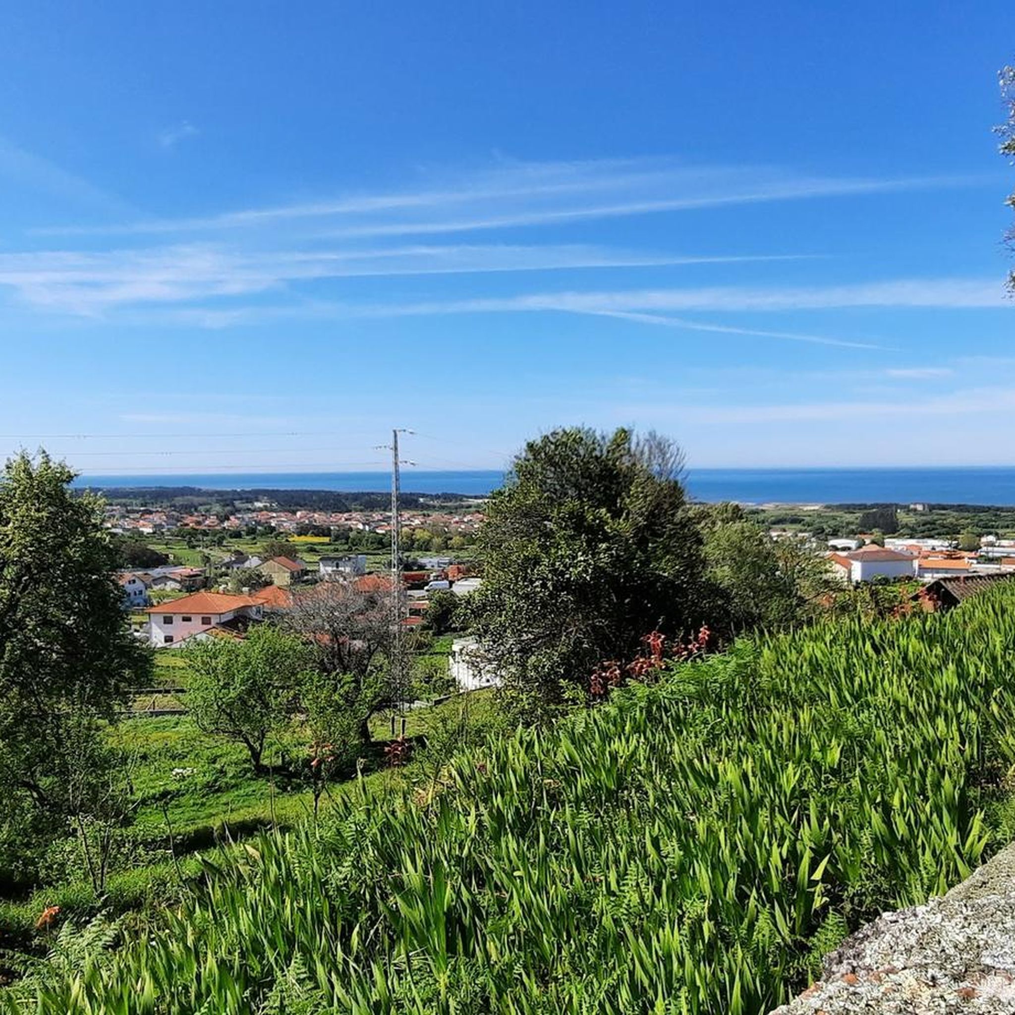
A beautiful view of the ocean with the mouth of the Rio Neiva. Very invigorating.
0
1
Frequently Asked Questions
What types of hiking trails can I expect around Vila De Punhe?
The hiking trails around Vila De Punhe primarily follow the course of the Neiva River, traversing riverine paths, agricultural lands, and connecting small villages. You'll find a mix of natural exploration and cultural insights, often with gentle elevations leading to scenic viewpoints.
Are there easy hiking trails suitable for beginners or families in Vila De Punhe?
Yes, Vila De Punhe offers a good selection of easy trails. Out of the 63 available routes, 28 are classified as easy, making them suitable for beginners or families looking for a relaxed stroll. These often feature gentle terrain along the river.
What is the typical duration for hikes around Vila De Punhe?
Hikes in Vila De Punhe vary in length, but many popular routes can be completed within a few hours. For example, the Neiva River Boardwalk – Rio Neiva Estuary loop from Castelo do Neiva is about 5.7 miles (9.2 km) and typically takes around 2 hours 24 minutes.
Are there any challenging hiking routes for experienced hikers?
While the region is known for its gentle terrain, there are a few routes that offer a more challenging experience. The area features 2 difficult trails out of the total 63. These might include steeper ascents or longer distances compared to the moderate options.
Are dogs allowed on the hiking trails in Vila De Punhe?
Generally, dogs are welcome on most hiking trails in rural areas like Vila De Punhe, especially on river paths and through agricultural lands. However, it's always recommended to keep them on a leash, especially when passing through villages or near livestock, and to clean up after them.
Are there circular hiking routes available in Vila De Punhe?
Yes, many of the trails in Vila De Punhe are designed as circular routes, allowing you to start and end at the same point. An example is the Viewpoint loop from Mujães, which offers scenic views and brings you back to your starting location.
What kind of scenic viewpoints can I find along the trails?
The trails often lead to scenic viewpoints overlooking the Neiva River valley and the surrounding rural landscape. The Viewpoint loop from Mujães is specifically designed to showcase these panoramic vistas.
What interesting landmarks or attractions can I see near the hiking trails?
Along and near the hiking trails, you can discover several points of interest. These include the historic Stone Bridge over the Neiva River, the Rio Neiva Estuary, and the Pilgrims' Drinking Fountain. Further afield, you might visit the impressive Sanctuary of Santa Luzia.
Is parking available at the trailheads in Vila De Punhe?
Given the rural nature of Vila De Punhe and its surrounding villages, parking is generally available near common starting points for trails, often in village centers or designated areas. It's advisable to check local signage.
What do other hikers enjoy most about hiking in Vila De Punhe?
The hiking routes in Vila De Punhe are highly rated by the komoot community, with an average score of 4.3 stars from over 190 reviews. Hikers often praise the peaceful river paths, the charming rural landscapes, and the accessibility of the trails for various fitness levels.
Are there any routes that connect to local eateries or cafes?
Yes, some routes are designed to pass by or connect local establishments. The Restaurante Pedra Alta – Taberna da Laurinda loop from Castelo do Neiva is a great example, offering a chance to experience local cuisine during your hike.
Can I hike near the Casa da Azenha Branca Bridge?
Absolutely. The Casa da Azenha Branca Bridge loop from Forjães is a popular moderate route that specifically features this notable bridge, offering a pleasant walk along the river.
Most popular attractions around Vila De Punhe

Get inspired with the komoot mobile app


Explore more
Browse the best Hikes in other regions.
