The best walks and hikes around Lobrigos (São Miguel)
4.3
(147)
727
hikers
14
hikes
Hiking around Lobrigos (São Miguel) offers a diverse landscape, though the specific trails listed are situated near the Douro River in mainland Portugal. The region features varied terrain, including riverside paths and elevated viewpoints. These routes provide opportunities to explore both natural and developed areas. The trails are generally well-defined, catering to different hiking preferences.
Best hiking trails around Lobrigos (São Miguel)
- The most popular hiking route is Régua and the Douro River – Régua Pedestrian Bridge loop from Godim…
Last updated: June 26, 2026
4.6
(40)
181
hikers
7.77km
02:35
360m
370m
Moderate hike. Good fitness required. Easily-accessible paths. Suitable for all skill levels.
3.4
(13)
103
hikers
Easy hike. Great for any fitness level. Easily-accessible paths. Suitable for all skill levels.

Sign up for free
3.8
(5)
32
hikers
10.7km
03:23
400m
400m
Moderate hike. Good fitness required. Easily-accessible paths. Suitable for all skill levels.
4.3
(7)
36
hikers
Easy hike. Great for any fitness level. Easily-accessible paths. Suitable for all skill levels.
4.6
(7)
21
hikers
7.44km
02:14
210m
210m
Moderate hike. Good fitness required. Mostly accessible paths. Sure-footedness required.
Get access to more routes and recommendations from other explorers.
Sign up for free
Already have an account?
Our route recommendations are based on thousands of hikes, rides, and runs completed by other people on komoot.
Start today with a free account
Your next adventure awaits.
Login or Signup
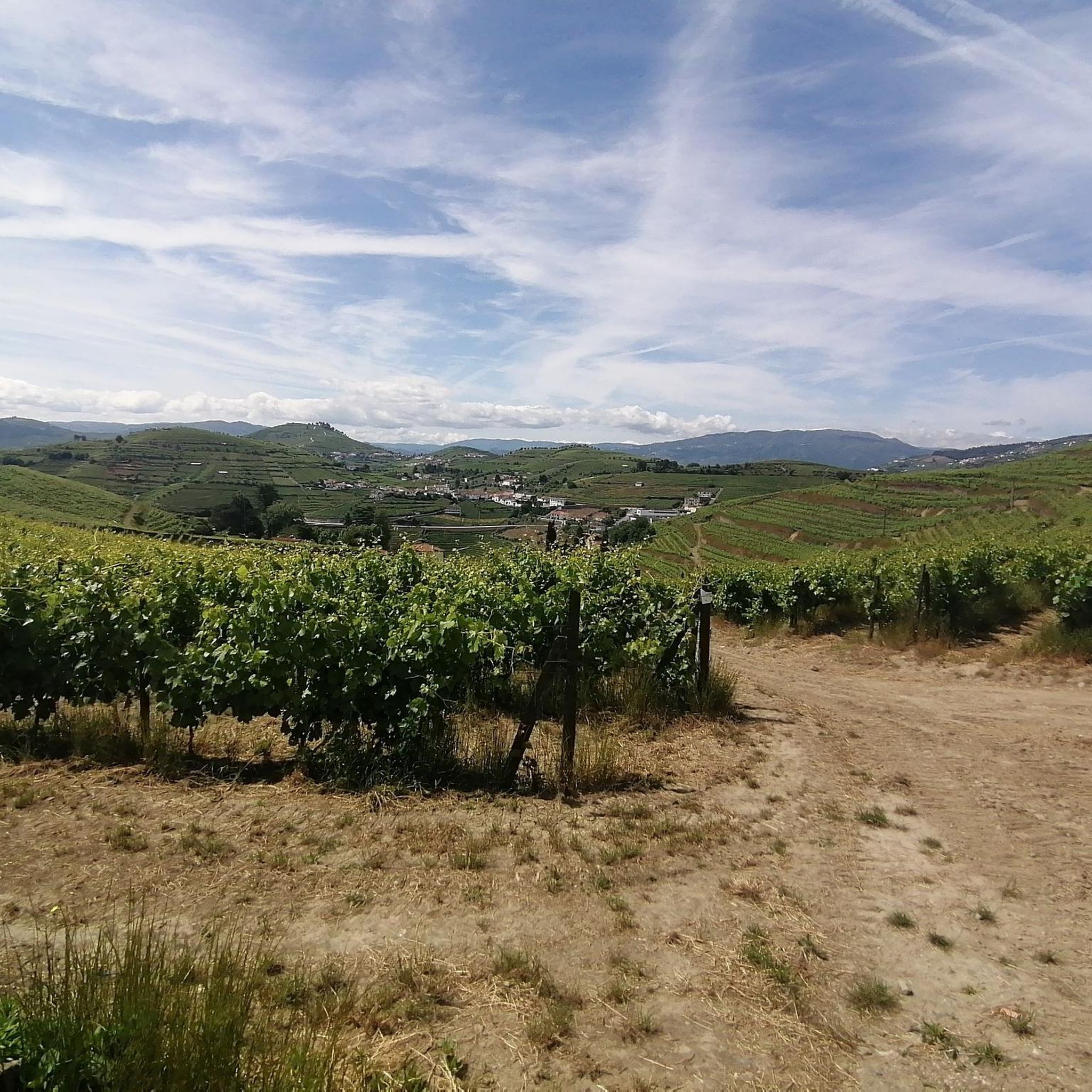
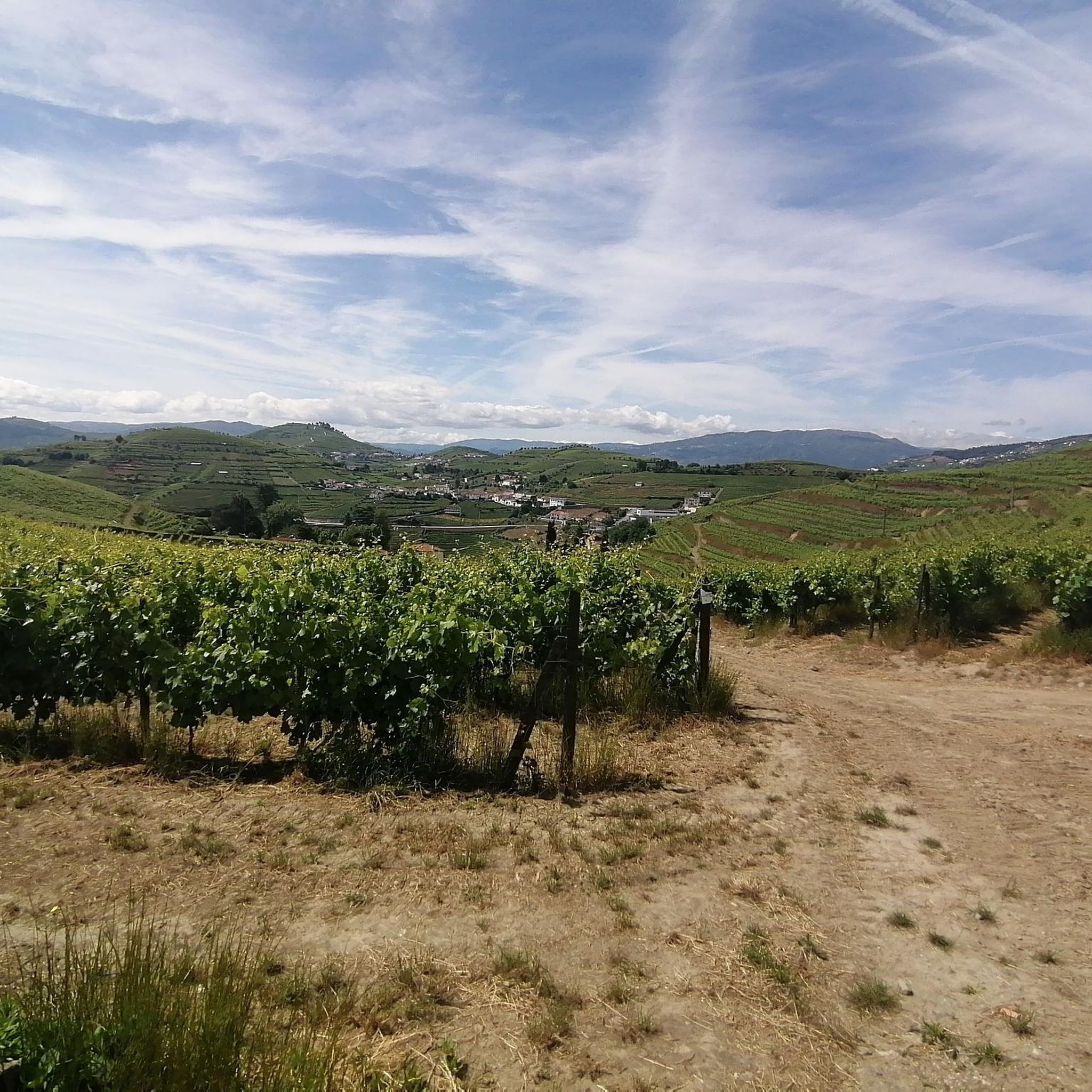
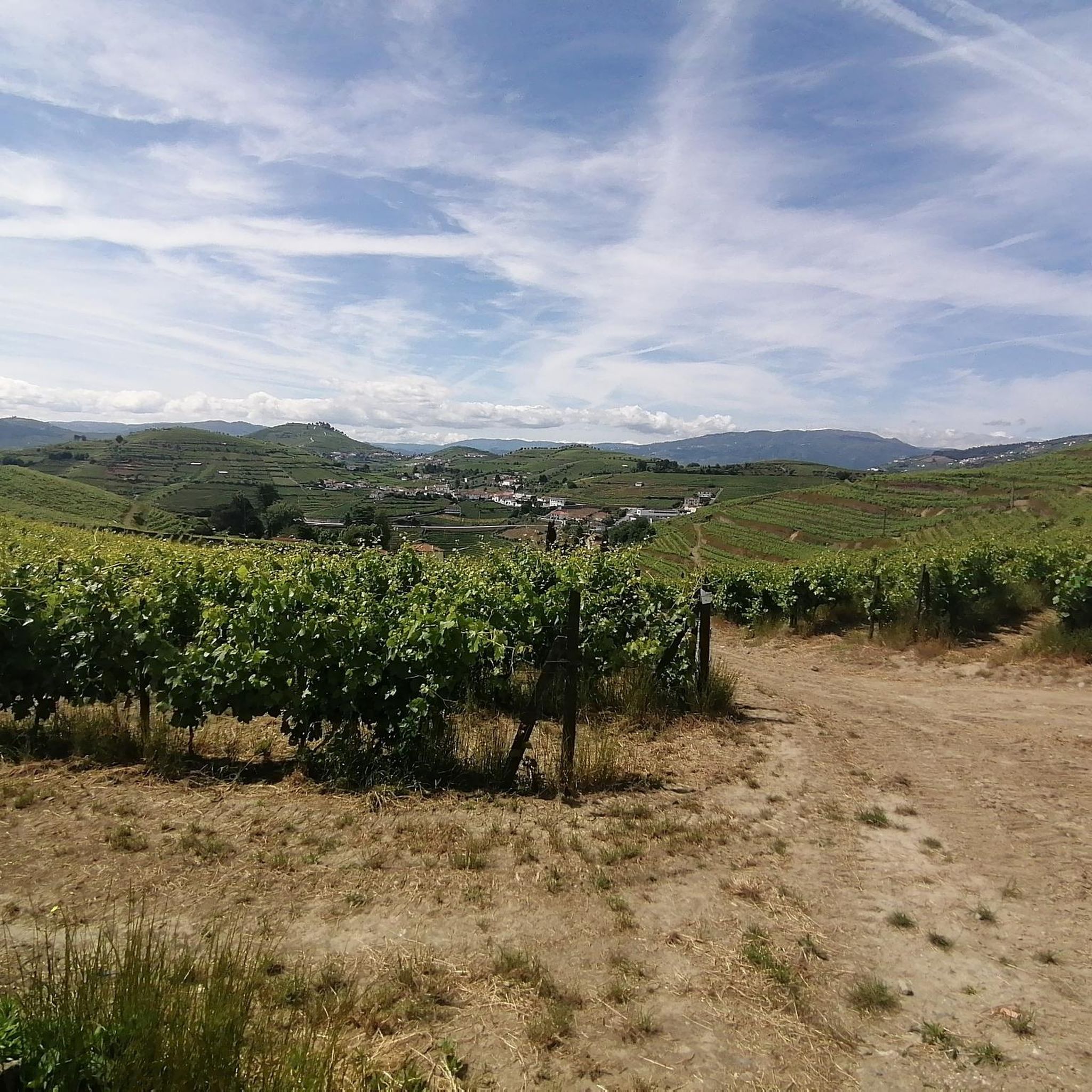

Tips from the Community

Beautiful view of the other side of the river.
0
0

The São Leonardo de Galafura viewpoint is one of the most emblematic and beautiful observation points in the Douro Valley, Portugal. Located at the highest point of Monte de São Leonardo, in the parish of Galafura, it offers an unparalleled view over the Douro landscape, classified as a World Heritage Site by UNESCO. Highlights and Information Panoramic View: From the viewpoint, it is possible to see the confluence of the Pêgo River with the Douro River in a curve that resembles a comma, a beautiful spot and perfect for watching an unforgettable sunset. Poetic Inspiration: The place served as inspiration for the Portuguese writer Miguel Torga, who described it poetically, highlighting the "excess of nature" in the landscape. Chapel: At the highest point of the viewpoint is the Chapel of São Leonardo, which complements the natural and historical scenery of the place. Activities: The area is suitable for hiking, and there are trails nearby that can be explored, such as those listed on Wikiloc. Location Address: Estrada São Leonardo - Galafura, Peso da Régua, 5050-044 Portugal. Access: Access is by road, and the viewpoint is a common stopping point on tours and excursions through the Douro region. For more details about the region and other attractions, you can consult the Douro Itinerary.
2
0
The parking area for motorhomes directly on the Douro River
1
0

The building was built in 1910. It was designed by the architect José Marques da Silva. The building is in the Portuguese Modern style, with Neo-Renaissance influences. It is known for its decorative tiles and elaborately designed façade.
0
0

This highlight is located in Peso da Régua and NOT in Lisbon. Please don't be confused by the misleading comment below. The same goes for the numerous photos, none of which belong here.
2
0

The station is so run-down that it's almost in working order again. Old railway vehicles (burned-out steam locomotives and old wagons) are scattered around the large grounds. There are also many disused tracks, including turntables. At the end of the station, the former storage sheds have been converted into wine shops and restaurants.
2
0
A worthwhile museum, which scores points despite/or because of its very minimalist presentation of the subject matter. At the end, enjoy a port wine on the terrace of the museum's café.
1
0
The bridge is really well-made. The view from the bridge is beautiful, even though there's still a lot that could be done with the buildings at the end.
2
0
Frequently Asked Questions
How many hiking trails are available around Lobrigos (São Miguel)?
There are over 15 hiking trails around Lobrigos (São Miguel), offering a variety of experiences. These routes are generally well-defined and cater to different preferences, with options ranging from easy riverside strolls to more challenging paths with significant elevation gain.
What kind of terrain can I expect on hikes around Lobrigos (São Miguel)?
The hiking terrain around Lobrigos (São Miguel) is characterized by riverside paths, gentle ascents, and elevated viewpoints. While the guide's specific routes are situated near the Douro River in mainland Portugal, the broader region of São Miguel is known for its lush volcanic landscapes, including crater lakes and diverse forests.
Are there any easy, family-friendly hikes in the area?
Yes, there are several easy routes suitable for families. For instance, the Régua Riverside Promenade loop from Peso da Régua is a 2.2-mile (3.5 km) trail that follows riverside promenades, often completed in under an hour. Another easy option is the Régua Pedestrian Bridge loop from Godim, which is 3.7 miles (6.0 km) long and takes about 1 hour 35 minutes.
What are some notable landmarks or viewpoints I can see on a hike?
While hiking around Lobrigos, you can encounter several interesting landmarks and enjoy panoramic views. The Douro view loop from Régua offers significant elevation gain, providing breathtaking views over the Douro River. You might also pass by the Régua Pedestrian Bridge or enjoy a View of the Douro Valley. For a unique natural feature, consider visiting the Mafómedes Waterfall.
Are there any circular hiking routes available?
Yes, many of the routes in this area are circular, allowing you to start and end at the same point. Examples include the Régua Pedestrian Bridge loop from Godim, the Douro view loop from Régua, and the Régua Riverside Promenade loop from Peso da Régua.
What do other hikers enjoy most about hiking in Lobrigos (São Miguel)?
The area is highly rated by the komoot community, with an average score of 4.3 stars from over 130 reviews. Hikers often praise the diverse terrain, the scenic riverside paths, and the panoramic views, especially those overlooking the Douro River.
Are there any challenging hikes for experienced trekkers?
While there are no routes explicitly graded as 'difficult' in this guide, several moderate trails offer a good challenge. The Régua and the Douro River – Douro view loop from Régua, for example, is a 6.5-mile (10.5 km) path with significant elevation gain, providing a more strenuous experience and rewarding views.
Can I find places to eat or stay near the hiking trails?
The region around the Douro River, where these specific trails are located, offers various amenities. Peso da Régua, a common starting point for many routes, is a town with restaurants, cafes, and accommodation options. You can find places to refuel and relax after your hike.
What is the best time of year to go hiking in this region?
While specific seasonal conditions for Lobrigos (São Miguel) are not detailed, the broader São Miguel island generally offers good hiking conditions year-round due to its mild climate. However, for the Douro River area, spring and autumn often provide the most pleasant temperatures for hiking, avoiding the peak heat of summer and potential winter rains.
Are there any trails that feature waterfalls?
Yes, the region offers natural features like waterfalls. The Mafómedes Waterfall is a notable highlight that can be explored in the vicinity of these hiking trails.
Is there parking available at the trailheads?
Many popular trailheads and starting points, especially in towns like Peso da Régua, typically offer parking facilities. It's advisable to check specific route details on komoot for information regarding parking availability at your chosen starting point.
Are there any trails that offer views of the Douro River?
Absolutely. The Douro River is a central feature of many hikes in this area. Routes like the Douro view loop from Régua are specifically designed to provide panoramic vistas of the river and its surrounding vineyards. The Régua Pedestrian Bridge loop from Godim also follows the river, offering continuous views.
Most popular attractions around Lobrigos (São Miguel)

Get inspired with the komoot mobile app


Explore more
Browse the best Hikes in other regions.
