The best road cycling routes around Ramires
4.7
(3)
105
riders
10
rides
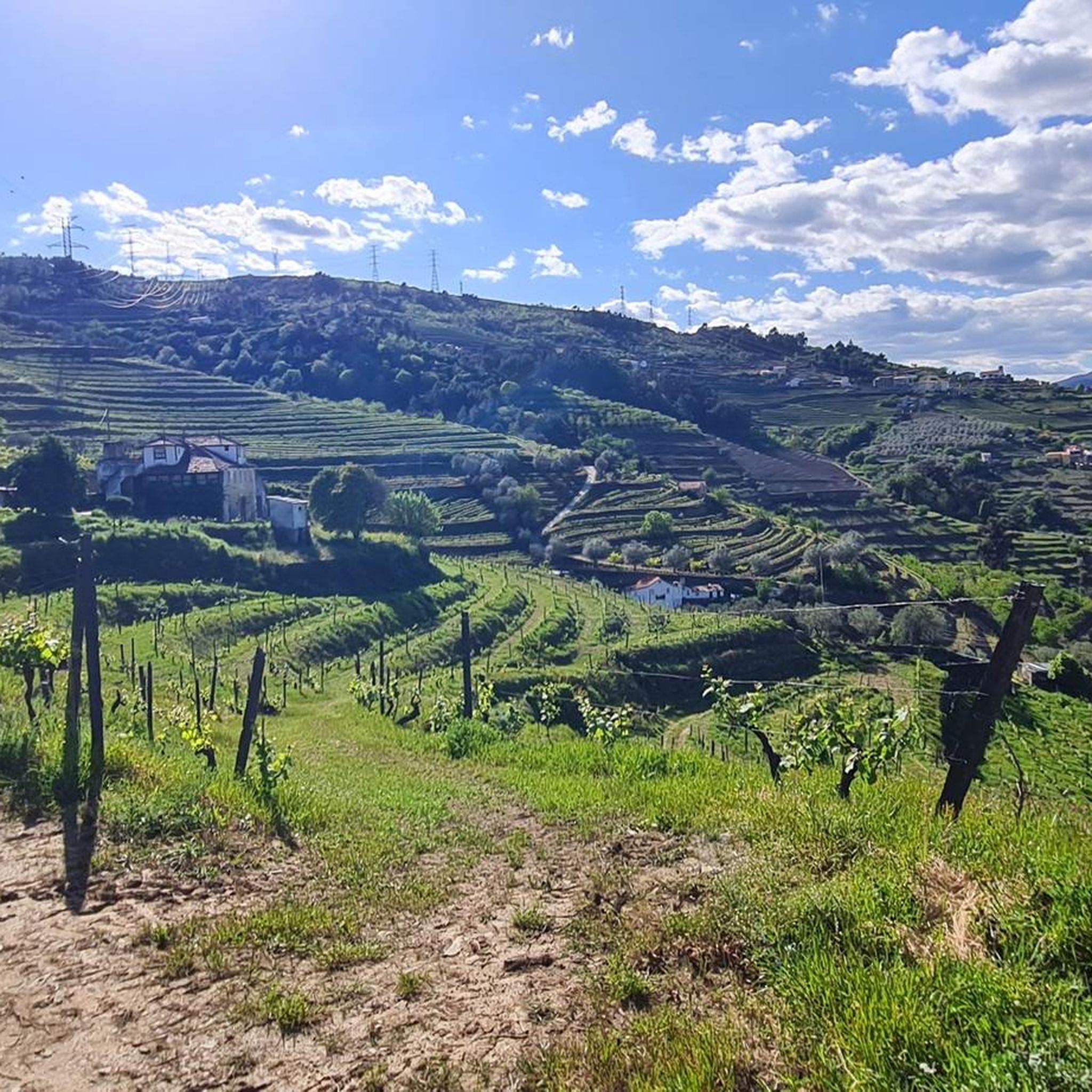
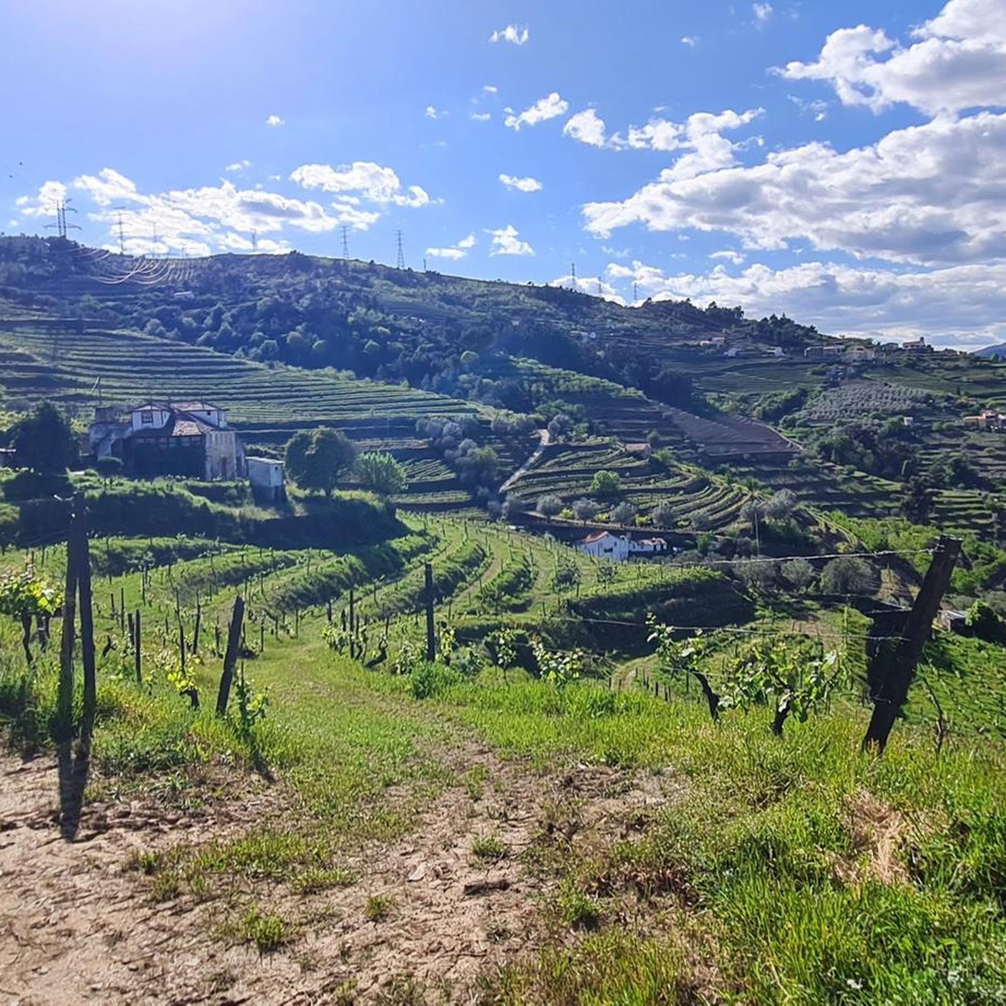
Road cycling routes around Ramires traverse a landscape characterized by significant elevation changes, river valleys, and mountainous terrain. The region features challenging climbs and descents, with routes often following the contours of the land and offering views of natural features like the Douro River. This area provides varied road surfaces suitable for experienced road cyclists.
Best road cycling routes around Ramires
- The most popular road cycling route is Portas de Montemuro – Serra de Montemuro loop from Mosteirô, a…
Last updated: June 26, 2026
18
riders
136km
08:01
3,300m
3,300m
Hard road ride. Very good fitness required. Mostly well-paved surfaces and easy to ride.
5.0
(1)
13
riders
57.1km
03:28
1,440m
1,440m
Hard road ride. Very good fitness required. Mostly well-paved surfaces and easy to ride.

Sign up for free
12
riders
47.4km
02:36
950m
950m
Hard road ride. Very good fitness required. Mostly well-paved surfaces and easy to ride.
9
riders
91.4km
05:15
1,960m
1,960m
Hard road ride. Very good fitness required. Mostly well-paved surfaces and easy to ride.
11
riders
41.9km
02:27
990m
990m
Hard road ride. Very good fitness required. Mostly well-paved surfaces and easy to ride.
Get access to more routes and recommendations from other explorers.
Sign up for free
Already have an account?
Our route recommendations are based on thousands of hikes, rides, and runs completed by other people on komoot.
Start today with a free account
Your next adventure awaits.
Login or Signup
Popular around Ramires
Tips from the Community

There is, I don't know if it corresponds to the highest point
0
0

A worthwhile museum, which scores points despite/or because of its very minimalist presentation of the subject matter. At the end, enjoy a port wine on the terrace of the museum's café.
1
0
The bridge is really well-made. The view from the bridge is beautiful, even though there's still a lot that could be done with the buildings at the end.
2
0

It is the iconic view in Lamego.
1
0

At Portas de Montemuro, the landscape stretches out without limits. Here, tables and benches invite you to take a break and enjoy the view, while the national road 321, popular with cyclists, marks the 1,215 metres of altitude. The highest peak of the Montemuro mountain range, at 1,381 metres, is nearby, to the east. Nearby, the ruins of the Wall of Portas de Montemuro preserve echoes of a distant past. Mentioned in the Inquiries of 1258, they reveal traces of an ancient fortified settlement from the Iron Age, possibly linked to the Castro culture. Later, the site was reused by the Romans and, at the time of the Reconquista, by D. Afonso Henriques, the first king of Portugal.
0
0

Baião is famous for its green and hilly landscapes that extend to the Douro River. It is located in a predominantly rural region, known for the production of Vinho Verde and citrus fruits. It offers an authentic experience of traditional Portugal, with a rich natural and cultural heritage and exquisite local gastronomy.
0
0

quiet and very beautiful
0
0

Frequently Asked Questions
What kind of terrain can I expect when road cycling around Ramires?
Road cycling routes around Ramires are characterized by significant elevation changes, river valleys, and mountainous terrain. You will encounter challenging climbs and descents, with routes often following the contours of the land and offering views of natural features like the Douro River and the Serra de Montemuro mountains. The area provides varied road surfaces, primarily suitable for experienced road cyclists.
How many road cycling routes are available in the Ramires region?
There are 10 road cycling routes documented in the Ramires region, offering a range of challenging experiences for cyclists.
Are there any beginner-friendly road cycling routes in Ramires?
The routes in Ramires are generally designed for experienced cyclists seeking challenging terrain. There are 4 routes rated as moderate, but none are classified as easy. For example, the Mosteirô Railway Station – Caldas de Aregos Ferry loop from Mosteirô is a moderate option, covering 41.9 km with significant elevation gain.
What are some of the most scenic viewpoints or natural features along the road cycling routes?
Many routes offer stunning views, particularly of the Douro River and the Serra de Montemuro mountains. You can find highlights like Portas de Montemuro, a mountain pass, or explore the Natural Pool and Waterfall Trail. The Baião – View of the Douro River loop from Aregos is specifically noted for its scenic views of the river and surrounding valleys.
What do other road cyclists say about the routes in Ramires?
The road cycling routes in Ramires are highly rated by the komoot community, with an average score of 4.7 stars from over 3 reviews. Cyclists often praise the challenging mountainous ascents, the beautiful river valleys, and the winding roads that define the region's cycling experience.
Are there any circular road cycling routes available?
Yes, many of the routes are designed as loops. Examples include the extensive Portas de Montemuro – Serra de Montemuro loop from Mosteirô, the scenic Baião – View of the Douro River loop from Aregos, and the Caldas de Aregos Ferry loop from Resende.
What is the longest road cycling route in Ramires?
The longest road cycling route is the Portas de Montemuro – Serra de Montemuro loop from Mosteirô, which spans 135.1 km and features substantial elevation gain through the Serra de Montemuro mountains.
Are there any routes that incorporate river crossings or ferries?
Yes, the Caldas de Aregos Ferry loop from Resende is a 47.4 km trail that leads through riverine landscapes and local villages, and as its name suggests, it involves a ferry crossing.
What are some notable landmarks or points of interest near the cycling routes?
Beyond the natural beauty, you can find interesting structures like the Bridge Over the Bestança River or the Wooden Bridge over the Waterfall. For historical interest, the Menhir of Marco da Jogada is also nearby.
What is the average duration for road cycling routes in Ramires?
The duration varies significantly depending on the route's length and difficulty. For instance, the Caldas de Aregos Ferry loop from Resende typically takes around 2 hours 35 minutes, while the longer Portas de Montemuro – Serra de Montemuro loop from Mosteirô can take nearly 8 hours.
Are there any routes that offer views of specific rivers?
Many routes in the region offer views of the Douro River. The Baião – View of the Douro River loop from Aregos is a prime example, specifically highlighting its scenic views of the Douro.
Most popular routes around Ramires
Most popular attractions around Ramires

Get inspired with the komoot mobile app


Explore more
Browse the best Road cycling routes in other regions.
