The best cycling routes around Várzea De Tavares
4.1
(11)
66
riders
1
ride
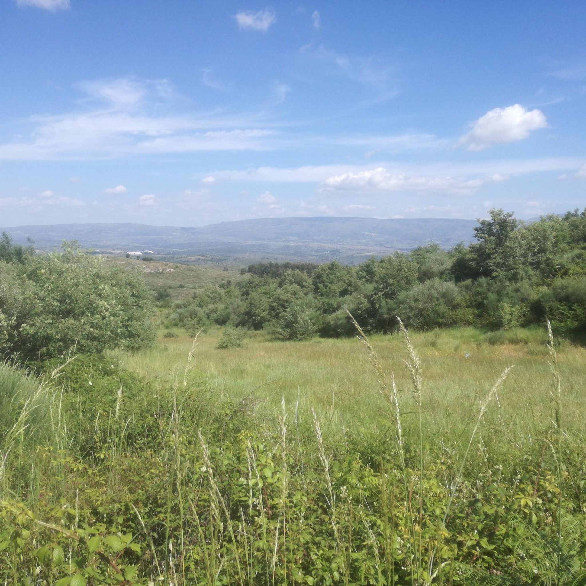
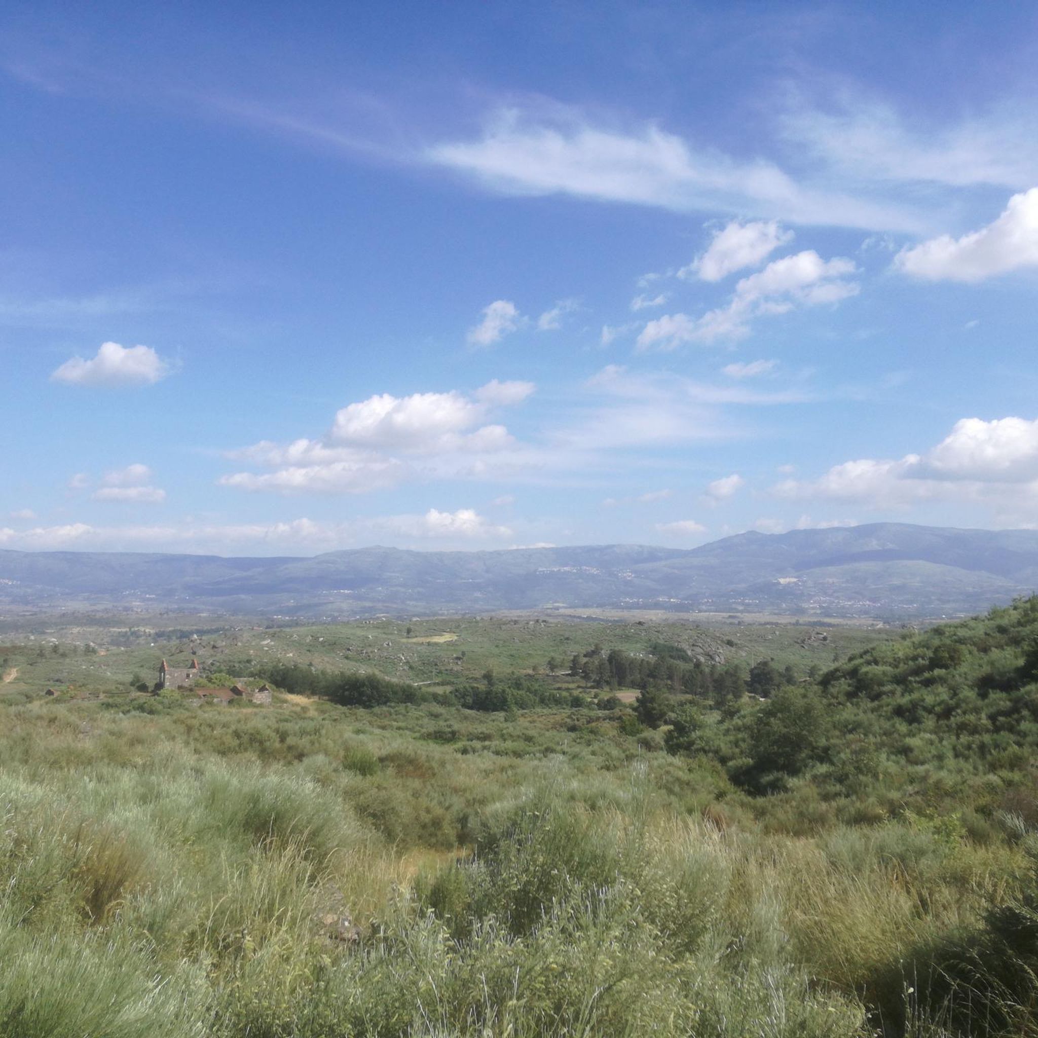
Touring cycling routes around Várzea De Tavares are set within a region of varied topography, characterized by a hilly landscape with elevations ranging from 311 to 762 meters. The area features undulating terrain, agricultural plains, and green scenery, offering diverse cycling experiences. Rural roads and tracks with low traffic provide a peaceful environment for exploring the natural beauty of this part of Portugal.
Best touring cycling routes around Várzea De Tavares
- The most popular touring cycling route is Folgosinho –…
Last updated: June 26, 2026
4.8
(4)
16
riders
31.2km
02:11
580m
580m
Hard bike ride. Very good fitness required. Mostly paved surfaces. Suitable for all skill levels.
3.0
(2)
8
riders
15.9km
01:14
410m
410m
Moderate bike ride. Good fitness required. Mostly paved surfaces. Suitable for all skill levels.

Sign up for free
6
riders
91.0km
06:50
2,260m
2,260m
Hard bike ride. Very good fitness required. Mostly paved surfaces. Suitable for all skill levels.
4
riders
39.7km
02:54
820m
820m
Hard bike ride. Very good fitness required. Mostly paved surfaces. Suitable for all skill levels.
3
riders
41.5km
02:50
700m
700m
Hard bike ride. Very good fitness required. Mostly paved surfaces. Suitable for all skill levels.
Our route recommendations are based on thousands of hikes, rides, and runs completed by other people on komoot.
Start today with a free account
Your next adventure awaits.
Login or Signup
Popular around Várzea De Tavares

Tips from the Community


A historic village of undeniable beauty. Thank you for sharing the photos.👍🥾🚲
0
0

Linhares da Beira is steeped in centuries of history. Founded, apparently, in the 6th century BC by the Turduli, it saw the passage of the Lusitanians, Romans, and Visigoths, who made it the seat of their diocese. It was the scene of Moorish legends, recovered by the kings of León and later by Afonso Henriques, who granted it a charter in 1169 and integrated it into the region's defensive line. Over time, it welcomed Jews, resisted invasions, and lost its municipality in 1842, but never its soul. Today, it is proud to be one of the 12 Historic Villages of Portugal, where every stone tells a piece of the past.
3
0

The Serra da Estrela Natural Park is something truly special. This 1,000-square-kilometer park, spread across six municipalities, was the first and currently the largest protected natural park in Portugal. It is home to the highest point on the Portuguese mainland, the country's only ski slope, the source of two important rivers, and a fascinating, alpine-like landscape formed by glaciers.
5
1

The other side is actually private property, so no transposing
0
0
At exactly 1993 meters above sea level, Torre is the highest point in mainland Portugal, where the only ski resort is located. The landscape on the upper plateau of the Serra da Estrela is like a sprinkling of granite rocks over low scrub and patches of snow and ice, which the sun threatens to melt soon in the summer and which always returns the following winter. In winter, it sometimes becomes inaccessible.
6
0

Characterized by a serene and rural atmosphere, Freixo da Serra offers a taste of traditional Portuguese mountain life. Its stone houses, narrow streets and surrounding environment of cultivated fields and forests make it an ideal place for those seeking peace and contact with nature. Its strategic location allows easy access to some of the trails and points of interest of Serra da Estrela, while maintaining the tranquility of a less touristy settlement.
0
0
Gouveia is a picturesque Portuguese town and municipality located in the district of Guarda, on the northern edge of the Serra da Estrela Natural Park. With an elevated position that provides it with a mountain climate and picturesque views, Gouveia is considered one of the "gateways" to the highest mountain range in mainland Portugal. The town stands out for its rich historical and architectural heritage, with a charming old town characterized by narrow cobbled streets, traditional houses and monuments such as the Mother Church of São Pedro and the Paços do Concelho (Town Hall). Gouveia is also renowned for the production of the famous Queijo Serra da Estrela, a DOP sheep's cheese, and for its tradition of the Cão da Serra da Estrela dog breed. Its proximity to the Natural Park makes it an excellent base for exploring the natural beauty of the Serra.
0
0
Frequently Asked Questions
What is the general terrain like for touring cycling around Várzea De Tavares?
The region around Várzea De Tavares features a varied and undulating topography, with elevations ranging from 311 to 762 meters. Cyclists can expect a mix of hilly landscapes, agricultural plains, and green scenery. The routes often utilize rural and secondary roads with low traffic, providing a peaceful experience.
Are there any easy touring cycling routes suitable for beginners in Várzea De Tavares?
While many routes in the area are rated as difficult, there is a moderate option available. The Folgosinho – Folgosinho loop from Melo is a 9.8 miles (15.9 km) trail that leads through rural settings and is often completed in about 1 hour 14 minutes, making it a good choice for those seeking a less strenuous ride.
What are some challenging touring cycling routes in the area?
For experienced touring cyclists seeking a challenge, the Casa das Obras Fountain – Serra da Estrela loop from Parque Nossa Senhora dos Verdes is a demanding option. This route spans 91.4 km and involves a significant elevation gain of over 2250 meters. Another difficult route is the Folgosinho – Folgosinho loop from Rio Torto, covering nearly 40 km with over 820 meters of ascent.
What is the best time of year to go touring cycling in Várzea De Tavares?
The months of July and August generally have the least rain, making them suitable for outdoor activities. However, August can be quite warm, with average high temperatures nearing 30°C. Spring and autumn offer a pleasant climate with more humidity and occasional morning fog, providing comfortable conditions for cycling.
Are there any circular touring cycling routes available?
Yes, several routes in the area are designed as loops. For example, the Folgosinho – Folgosinho loop from Melo e Nabais is a 27.5 km circular trail. Another popular loop is the Freixo da Serra – Castelo de Linhares loop from Melo, which offers varied scenery over 31.2 km.
What kind of landmarks or points of interest can I expect to see along the routes?
While specific named attractions directly on the routes are not detailed, the wider region of Northern Portugal is known for its historic villages and monuments. Cycling through the area, you may encounter churches, traditional architecture, and cobbled streets, offering a glimpse into local culture and history.
What do other touring cyclists say about the routes in Várzea De Tavares?
The touring cycling routes around Várzea De Tavares are highly rated by the komoot community, with an average score of 4.1 stars from over 11 reviews. Cyclists often praise the varied terrain, the peaceful rural roads, and the green landscapes that define the area.
Is Várzea De Tavares well-suited for family-friendly touring cycling?
The region offers a mix of difficulties. While many routes feature significant elevation gain, the presence of moderate trails like the Folgosinho – Folgosinho loop from Melo suggests that families with some cycling experience could find suitable options. It's advisable to check the difficulty and elevation profiles of specific routes to match your family's ability.
Are there options for accommodation or places to eat near the cycling routes?
The interior of Portugal, including the Mangualde area where Várzea De Tavares is located, is known for its local hospitality. Cycling through these areas provides opportunities to find local establishments offering regional dishes and potentially accommodation in historic villages. Specific cafes, pubs, or hotels directly on the routes are not listed, but they can be found in nearby towns and villages.
What are the typical distances and elevation gains for touring cycling routes in Várzea De Tavares?
The routes vary significantly. Distances can range from around 15.9 km for moderate rides to over 91 km for more challenging tours. Correspondingly, elevation gains can range from approximately 410 meters for shorter, moderate loops to over 2250 meters for the most difficult routes, indicating a hilly and often demanding cycling environment.
How many touring cycling routes are available in Várzea De Tavares?
There are multiple touring cycling routes available around Várzea De Tavares, offering diverse experiences for cyclists. Komoot lists several options, with varying distances and difficulty levels to suit different preferences.
Most popular routes around Várzea De Tavares

Get inspired with the komoot mobile app


Explore more
Browse the best Cycling routes in other regions.
