The best road cycling routes around Žarnovica
4.6
(7)
466
riders
50
rides
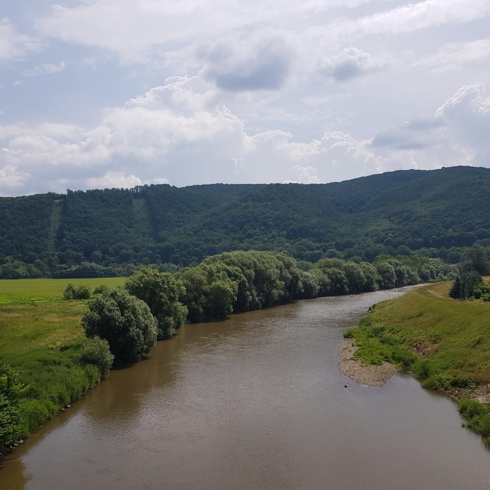
Road cycling routes around Žarnovica navigate a landscape characterized by rolling, forested hills and the scenic Hron river valley in central Slovakia. The region features the Štiavnické vrchy mountains, offering varied terrain with significant ascents and winding descents, alongside the Vtáčnik mountain range. Cyclists encounter a mix of asphalted roads, forest tracks, and quiet rural roads, providing diverse riding conditions. This area is suitable for road cyclists seeking both challenging climbs and more leisurely rides through natural surroundings.
Best road cycling routes around Žarnovica
- The most popular road cycling route is Roadbike loop from Župkov, a 21.2 miles (34.1 km) trail that takes 1 hour 32 minutes to complete. This moderate route offers a balanced ride through the local landscape.
- Another top favourite among local road cyclists is Močiar Information Board – Banská Štiavnica loop from Štiavnické Bane, a difficult 44.0 miles (70.8 km) path. This route features substantial elevation gain, leading through the Štiavnické vrchy mountains towards the historic town of Banská Štiavnica.
- Local road cyclists also love the Tajch Červená studňa loop from Hrabičov, a 33.9 miles (54.6 km) trail leading through forested hills and past historic mining lakes, often completed in about 2 hours 48 minutes.
- Road cycling around Žarnovica is defined by rolling, forested hills, the Hron river valley, and the Štiavnické vrchy mountains. The network offers options for various ability levels, from easy rides to challenging climbs.
- The routes in Žarnovica are highly rated by the komoot community with an average score of 4.5 stars from 6 reviews. More than 450 road cyclists have used komoot to explore Žarnovica's varied terrain.
Last updated: July 1, 2026
5.0
(2)
33
riders
34.1km
01:32
360m
360m
Moderate road ride. Good fitness required. Mostly well-paved surfaces and easy to ride.
25
riders
70.8km
03:52
1,410m
1,410m
Hard road ride. Very good fitness required. Mostly well-paved surfaces and easy to ride.

Sign up for free
5.0
(1)
9
riders
54.6km
02:48
850m
850m
Moderate road ride. Good fitness required. Some segments of this route may be unpaved and difficult to ride.
6
riders
62.8km
03:16
680m
680m
Moderate road ride. Good fitness required. Some segments of this route may be unpaved and difficult to ride.
7
riders
61.1km
03:23
1,170m
1,170m
Hard road ride. Very good fitness required. Mostly well-paved surfaces and easy to ride.
3
riders
108km
05:14
1,350m
1,350m
Hard road ride. Very good fitness required. Some segments of this route may be unpaved and difficult to ride.
6
riders
39.5km
01:40
250m
250m
Easy road ride. Great for any fitness level. Mostly well-paved surfaces and easy to ride.
5
riders
65.4km
03:42
1,410m
1,420m
Hard road ride. Very good fitness required. Some segments of this route may be unpaved and difficult to ride.
4
riders
106km
05:24
1,610m
1,610m
Hard road ride. Very good fitness required. Mostly well-paved surfaces and easy to ride.
5
riders
34.3km
01:33
200m
200m
Moderate road ride. Great for any fitness level. Some segments of this route may be unpaved and difficult to ride.
Get access to more routes and recommendations from other explorers.
Sign up for free
Already have an account?
Our route recommendations are based on thousands of hikes, rides, and runs completed by other people on komoot.
Start today with a free account
Your next adventure awaits.
Login or Signup
Tips from the Community

ERB Brewery & Restaurant operates in the historic building of the former mining school in the center of Banská Štiavnica. The venue combines a restaurant with a craft brewery that brews its own beers on site. The name „ERB” comes from the German word „Erbe”, meaning heritage, which refers to the city's mining history. The cellars of the building have preserved vaults and elements of the old architecture related to the Austro-Hungarian period.
1
0
LevaLáska operates in the historic center of Banská Štiavnica as a café and meeting place inspired by the city's artistic character. The interior combines elements of a café, a gallery, and a cultural space, and the venue regularly hosts concerts, exhibitions, and intimate artistic events. The name “LevaLáska” refers to the Slovak word “láska” meaning love. The café is known for its unusual decor using old furniture, vintage decorations, and handmade elements.
1
0
The Andrej Kmeť High School and monument commemorate Andrej Kmeť – one of the most important Slovak scientists and national activists of the late 19th and early 20th centuries. Kmeť was involved in archaeology, botany, and documenting folk culture, and also co-founded the Slovak Museum Society. The monument stands in front of the historic high school building in the center of Banská Štiavnica. The sculpture depicts Kmeť with a book and scientific materials, highlighting his research and educational activities. The high school building itself was one of the important schools in the city's mining region.
1
0
The Piarg Gate is the only preserved gate of the former defense system of Banská Štiavnica. It was built in the 16th century during the threat of Turkish raids, when mining towns in Central Europe began to strengthen their fortifications. The gate led towards the former settlement of Piarg, the present-day part of Štiavnické Bane, from which it derives its name. Elements of Renaissance architecture and former defensive openings have been preserved above the passage. For centuries, it was one of the main entrances to the city and part of the walls protecting the rich silver and gold mining center.
1
0
Námestie Svätej Trojice is the main square of Banská Štiavnica and the historical center of the former mining town. It is surrounded by Renaissance and Baroque townhouses that once belonged to wealthy merchants and officials associated with silver and gold mining. The square was laid out in the Middle Ages, when Banská Štiavnica was one of the most important mining centers in the Kingdom of Hungary. The most characteristic feature is the Baroque Plague Column from the 18th century, erected after a plague epidemic. To this day, the square has retained its historical layout and is part of the city inscribed on the UNESCO list in 1993.
0
0


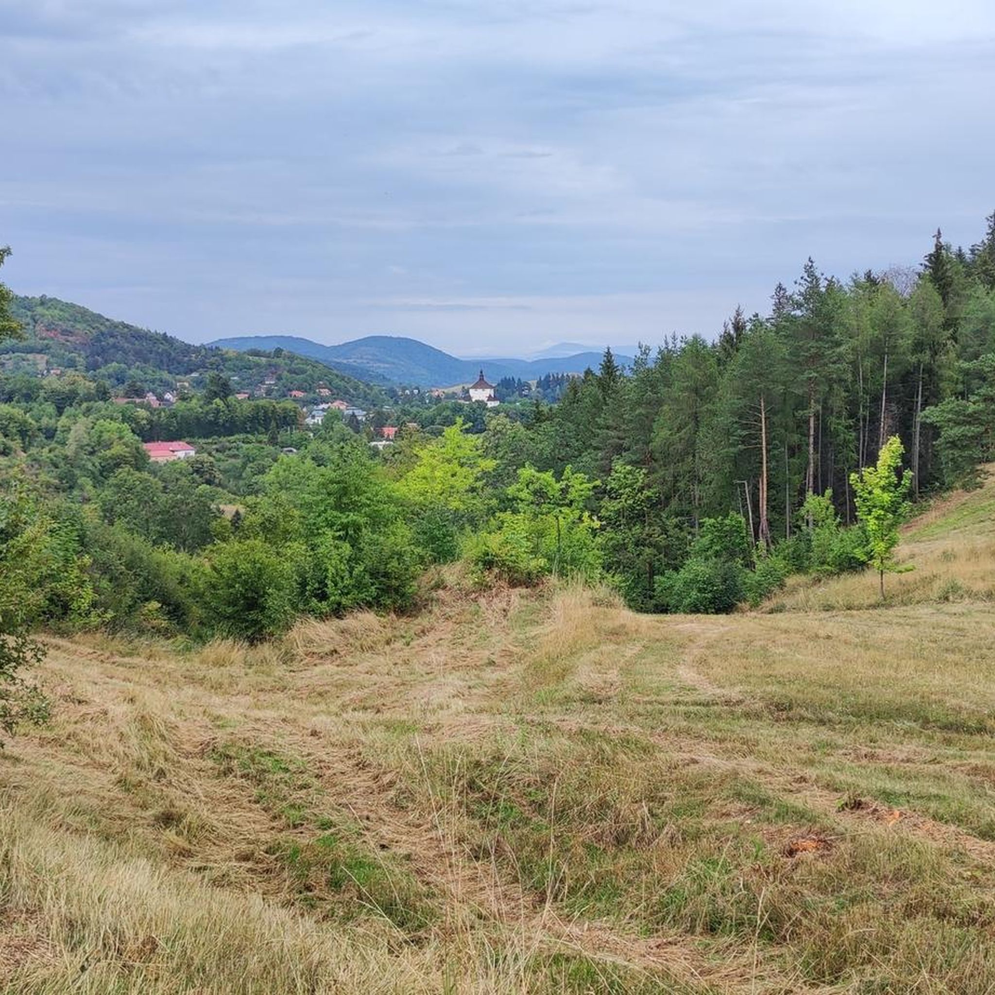
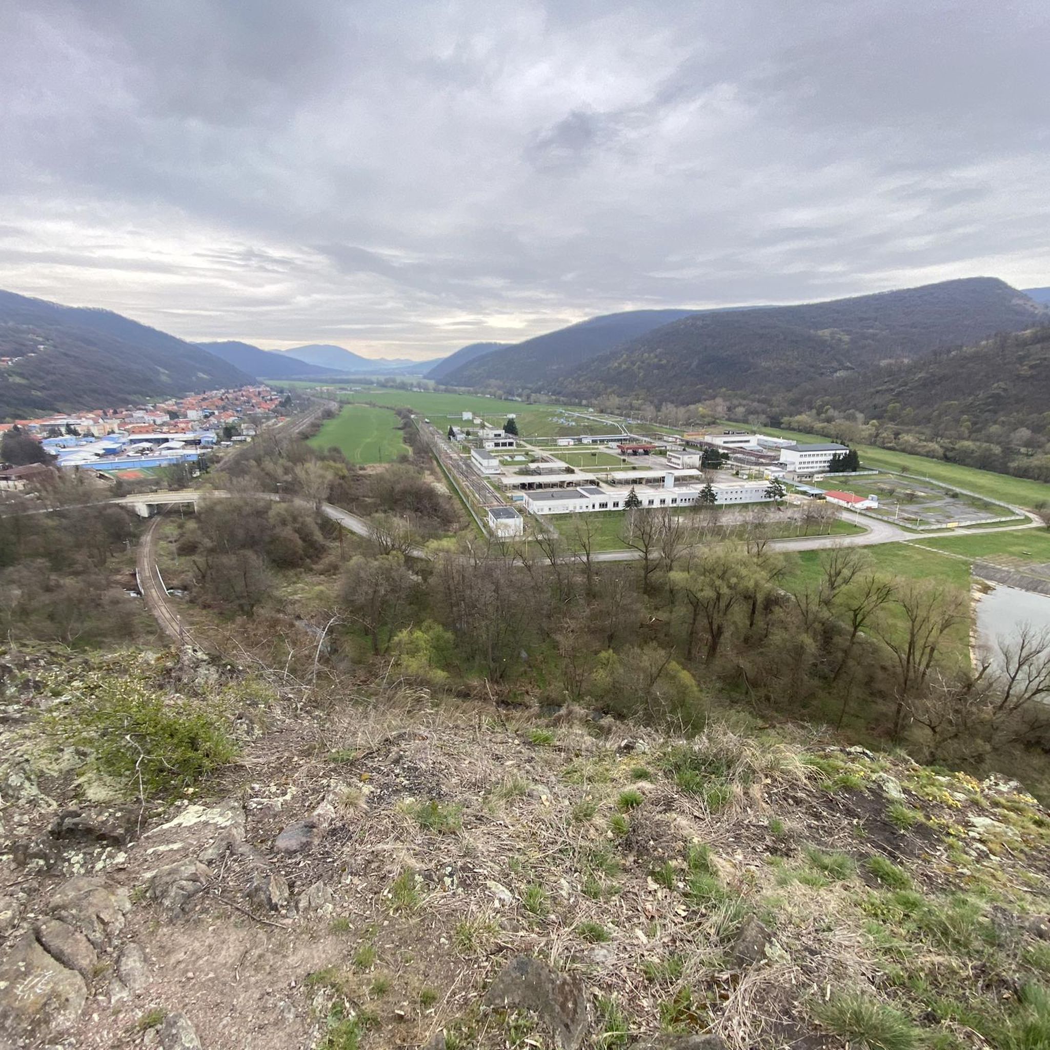
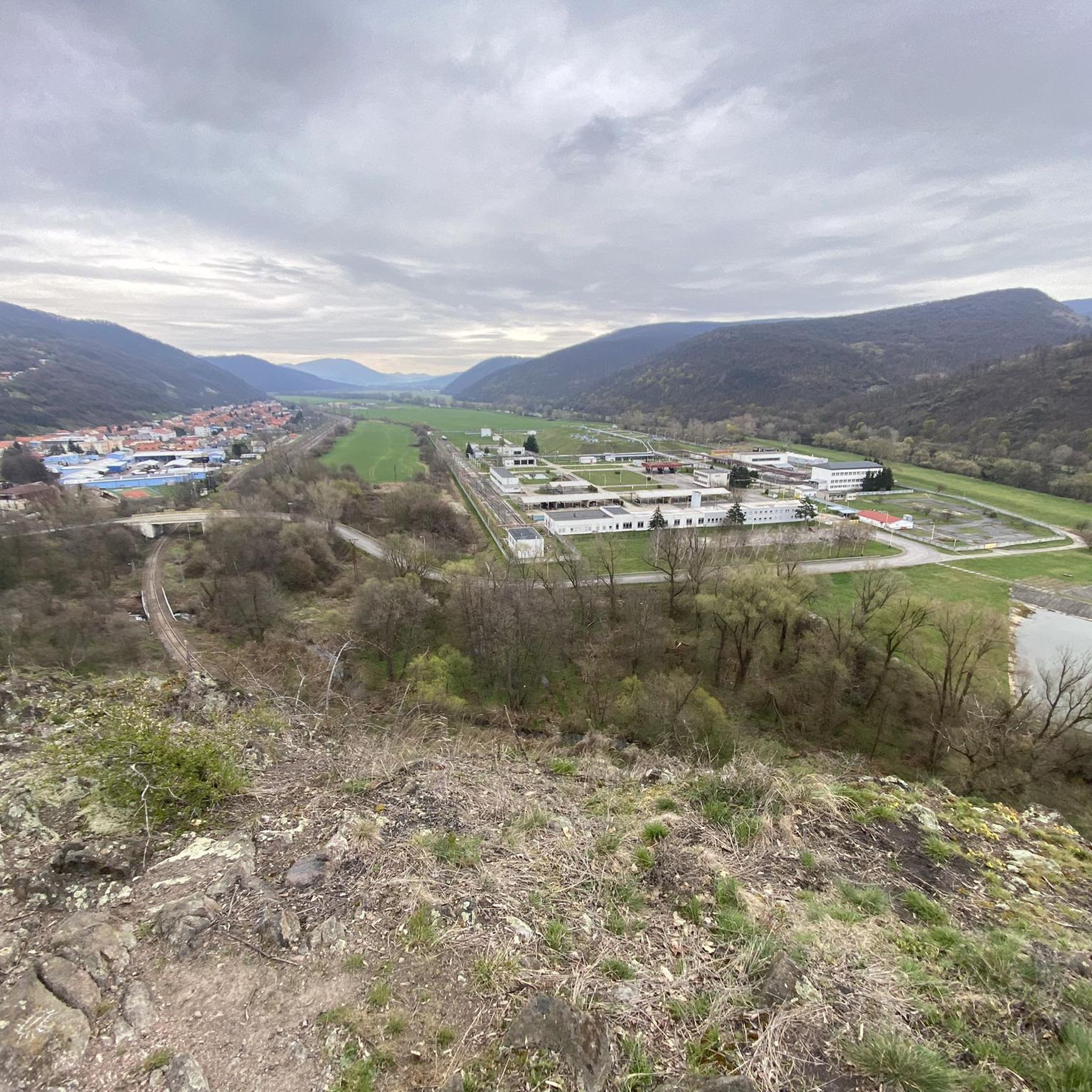
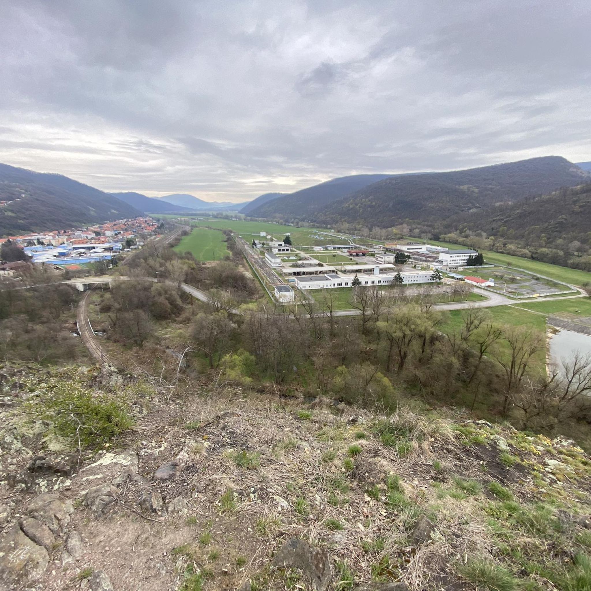
A nice fresh spring in the Rudňanská valley, about 10m from it there is a seating area. The spring is next to the road, right behind the stream, you have to walk to it on a bench.
0
0
There are nice steps leading to the swing from two directions on the asphalt, and a single track between them.
0
0
Frequently Asked Questions
How many road cycling routes are available around Žarnovica?
Žarnovica offers a wide selection of road cycling routes, with over 50 options available. These routes cater to various skill levels, from easy rides to challenging climbs through the Štiavnické vrchy mountains.
Are there road cycling routes suitable for families in Žarnovica?
Yes, Žarnovica provides family-friendly road cycling options. For instance, routes through the scenic Pokutská valley are mostly asphalted and suitable for less strenuous rides, making them ideal for families with children.
What kind of terrain can I expect on road cycling routes in Žarnovica?
The terrain around Žarnovica is diverse, featuring rolling, forested hills and the scenic Hron river valley. You'll encounter a mix of asphalted roads, forest tracks, and quiet rural roads. The Štiavnické vrchy and Vtáčnik mountain ranges offer significant ascents and long, winding descents, providing varied challenges for cyclists.
What are some scenic highlights or attractions along the road cycling routes?
Many routes offer stunning views and pass by notable attractions. You can cycle through forested hills with panoramic vistas, explore historic tajchy (artificial mining lakes), or visit the UNESCO World Heritage site of Banská Štiavnica. Routes also lead to points like Vtáčnik Summit, offering rewarding views.
Are there challenging road cycling routes for experienced riders?
Absolutely. The region is known for its demanding climbs, especially in the Štiavnické vrchy and Vtáčnik mountain ranges. Routes like the difficult Starý Tajch Spring – Počúvadlo Lake loop from Rudno nad Hronom feature substantial elevation gain, exceeding 1,100 meters, providing a significant challenge for advanced cyclists.
Can I find loop routes for road cycling in Žarnovica?
Yes, many road cycling routes around Žarnovica are designed as loops, allowing you to start and end in the same location. An example is the moderate Roadbike loop from Župkov, which offers a balanced ride through the local landscape.
What is the best time of year for road cycling in Žarnovica?
While specific seasonal conditions vary, the diverse terrain and natural beauty of Žarnovica are generally best enjoyed during spring, summer, and early autumn. These seasons typically offer pleasant weather for exploring the forested hills and scenic valleys.
Where can I find parking for road cycling routes in Žarnovica?
Parking availability varies by trailhead. Many routes start from towns or villages like Župkov, Štiavnické Bane, or Hrabičov, where you can often find designated parking areas. It's advisable to check specific route details for recommended starting points and parking options.
Are there easy road cycling routes for beginners in Žarnovica?
Yes, beginners can find suitable routes. For example, the Roadbike loop from Nová Baňa is classified as easy, with a manageable elevation gain of around 250 meters, making it a good option for those new to road cycling or seeking a relaxed ride.
What do other road cyclists enjoy most about road cycling in Žarnovica?
The area is highly rated by the komoot community, with an average score of 4.5 stars from 6 reviews. Cyclists often praise the varied terrain, the stunning natural beauty of the Štiavnické vrchy, and the mix of challenging climbs and scenic descents that the region offers.
Are there any routes that connect Žarnovica with the historic town of Banská Štiavnica?
Yes, several routes connect Žarnovica with the UNESCO World Heritage site of Banská Štiavnica. A challenging option is the Močiar Information Board – Banská Štiavnica loop from Štiavnické Bane, which takes you through the Štiavnické vrchy mountains to this historic town, allowing for cultural exploration alongside your ride.
Can I find routes that pass by the famous tajchy (mining lakes)?
Certainly. The Štiavnické vrchy mountains are home to historic tajchy, and some road cycling routes are designed to pass by them. The Tajch Červená studňa loop from Hrabičov is a great example, leading through forested hills and past these picturesque mining lakes.
Most popular routes around Žarnovica
Most popular attractions around Žarnovica

Get inspired with the komoot mobile app


Didn’t find what you were looking for?
Check out more Road cycling routes throughout Žarnovica below and find the perfect route in your destination.
Explore more
Browse the best Road cycling routes in other regions.
