The best running trails around okres Žiar nad Hronom
5.0
(1)
184
runners
23
runs
Jogging around okres Žiar nad Hronom offers a variety of routes through a landscape characterized by significant elevation changes and forested areas. The region features prominent hills and summits, such as Vtáčnik, providing challenging climbs and expansive views. Many running routes explore the natural terrain, including paths leading to rock formations like Kláštorská Skala. The area's diverse topography caters to runners seeking both moderate and difficult trails.
Best jogging routes around okres Žiar nad Hronom
- The most popular jogging route…
Last updated: October 5, 2026
10
runners
22.2km
03:07
980m
980m
Hard run. Very good fitness required. Sure-footedness, sturdy shoes and alpine experience required.
9
runners
11.7km
02:20
860m
860m
Hard run. Very good fitness required. Sure-footedness, sturdy shoes and alpine experience required.

6
runners
4.83km
00:32
120m
120m
Moderate run. Good fitness required. Mostly paved surfaces. Suitable for all skill levels.
5.0
(1)
5
runners
14.9km
01:44
380m
380m
Hard run. Very good fitness required. Mostly paved surfaces. Suitable for all skill levels.
8
runners
8.06km
00:55
200m
200m
Moderate run. Good fitness required. Mostly paved surfaces. Suitable for all skill levels.
4
runners
6.08km
00:40
90m
90m
Moderate run. Good fitness required. Mostly paved surfaces. Suitable for all skill levels.
3
runners
11.1km
01:39
570m
570m
Hard run. Very good fitness required. Mostly paved surfaces. Suitable for all skill levels.
4
runners
18.3km
02:53
940m
940m
Hard run. Very good fitness required. Sure-footedness, sturdy shoes and alpine experience required.
Get access to more routes and recommendations from other explorers.
Already have an account?
Our route recommendations are based on thousands of hikes, rides, and runs completed by other people on komoot.
Start today with a free account
Your next adventure awaits.
Tips from the Community


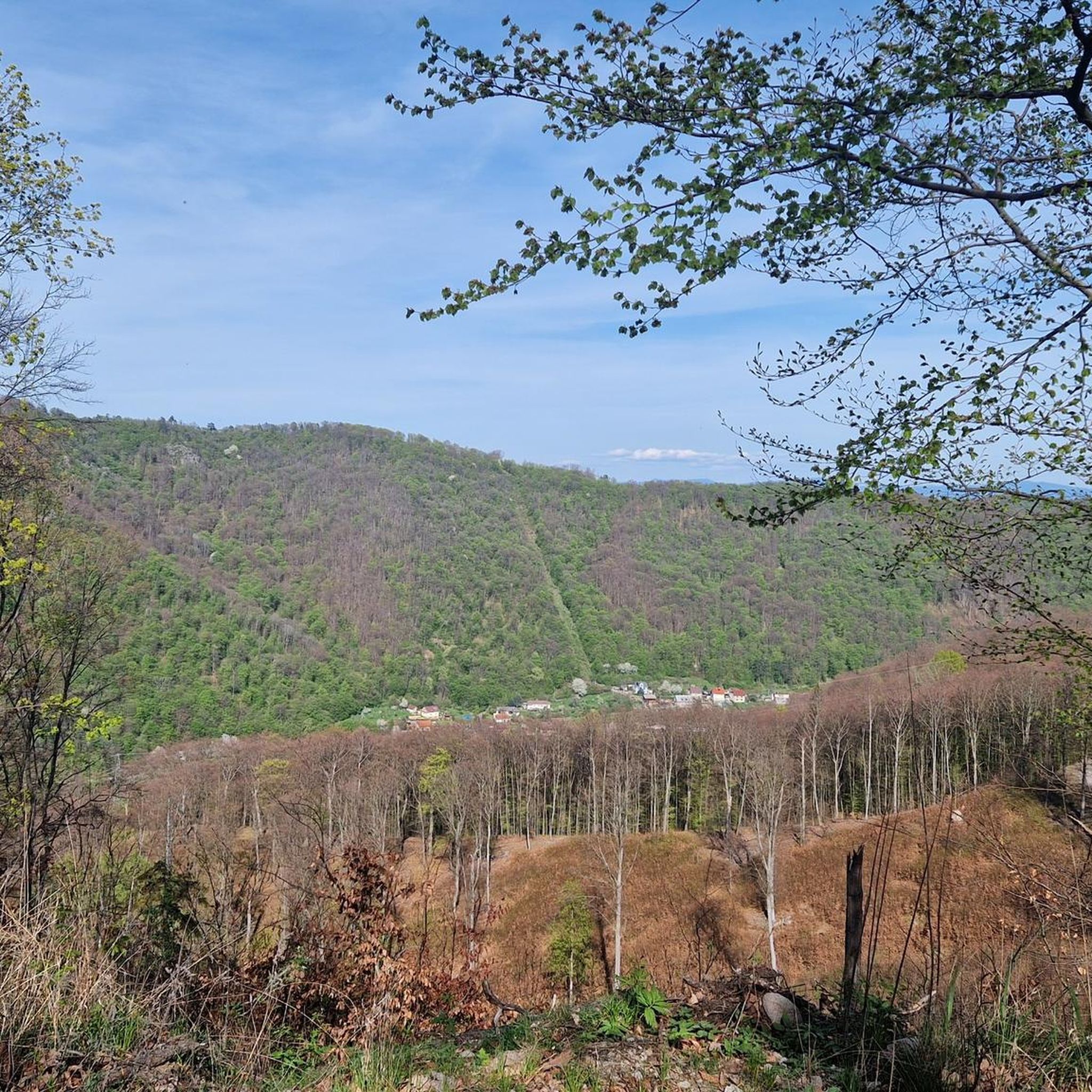
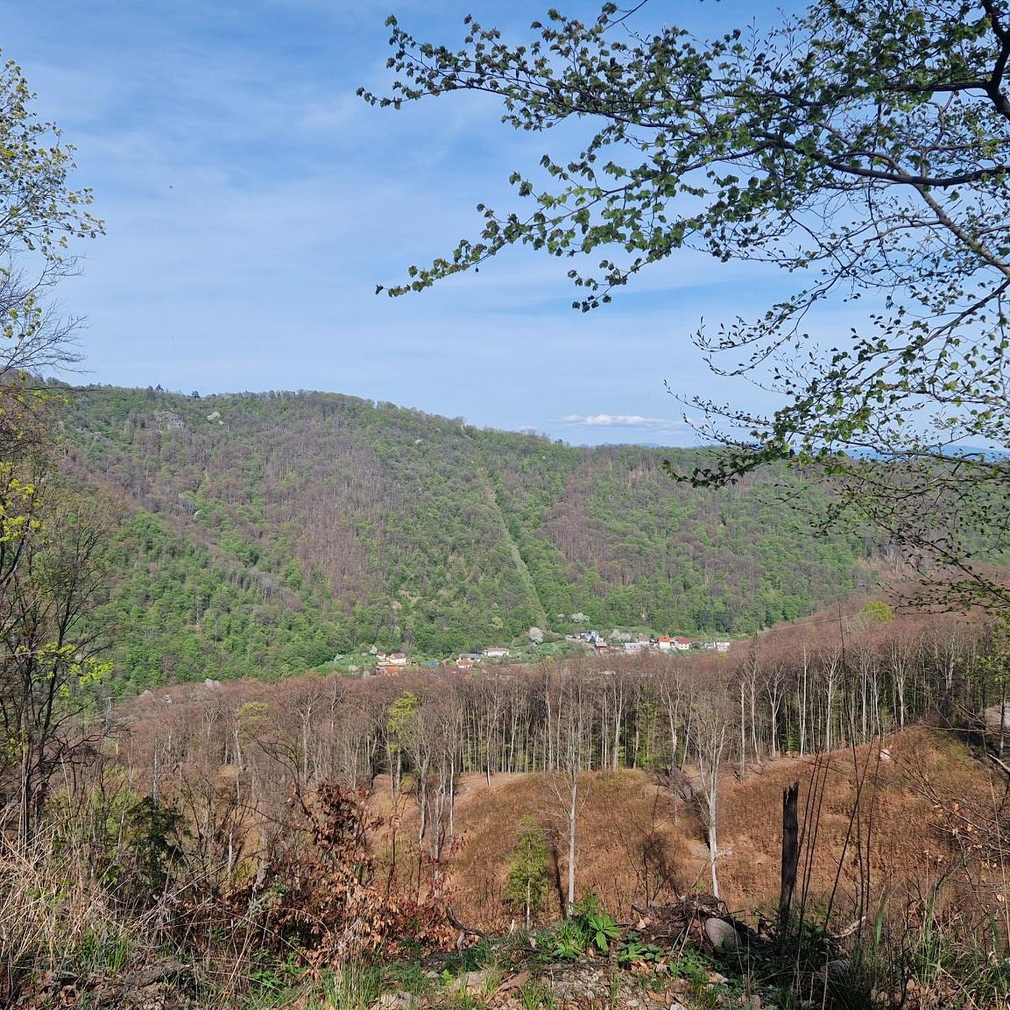
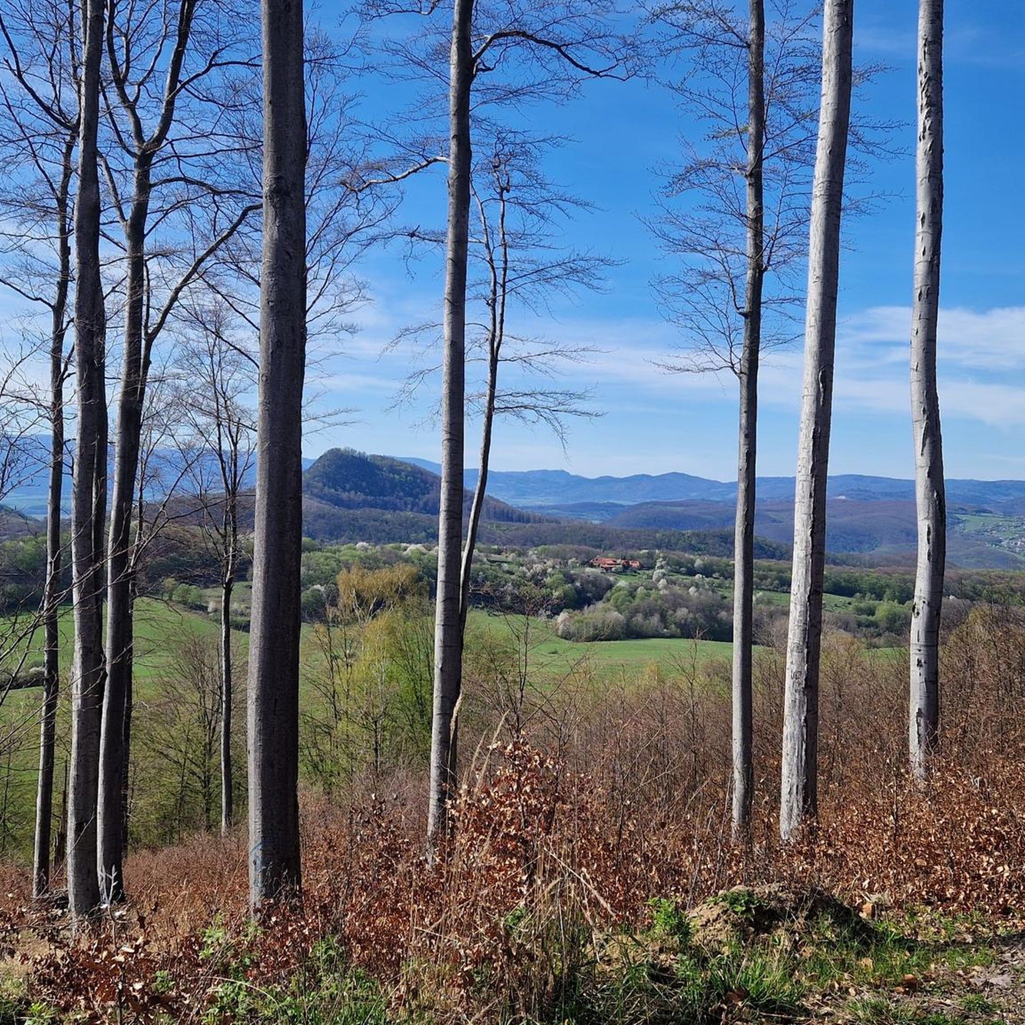
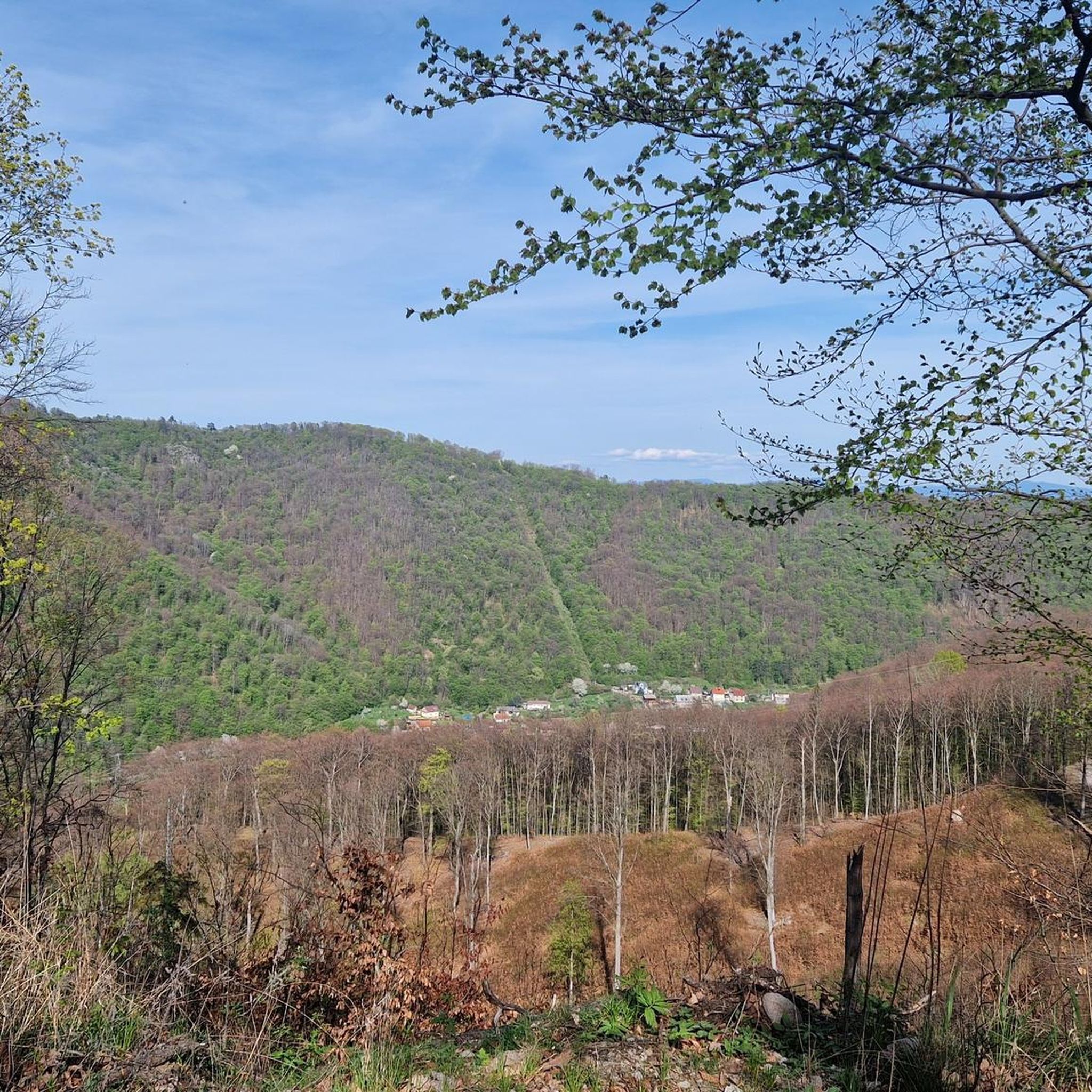
Great rocky formation with a 360 ° view
0
0

To the attractions of the hill, but also to the entire mountain range created in ancient times by volcanic activity, there are beautiful andesite rock formations. The Vtáčnik Hill and its surroundings are part of the same national nature reserve, characterized by old forest stands of places of forest-like character.
4
0

Several marked hiking trails lead to Vtáčnik. The starting points of the tours can be Kľak, Lehota pod Vtáčnikom, Kamenec pod Vtáčnikom or Bystričany. The top is covered with dense mixed forests, but the top decorated with an iron cross is partially deforested and offers great views of the Kremnické, Štiavnické and Strážovské Hills, Veľký and Malá Fatra and the whole area of Nitra.
4
1
Frequently Asked Questions
How many running routes are available in okres Žiar nad Hronom?
There are over 20 running routes documented on komoot for okres Žiar nad Hronom. These routes primarily feature moderate to difficult terrain, reflecting the region's mountainous landscape.
Are there any easy running routes for beginners in okres Žiar nad Hronom?
While the region is known for its challenging terrain, there are several moderate running routes suitable for those looking for a less strenuous experience. For example, the Running loop from Technická univerzita Zvolen is a moderate 4.8 km trail, and the Running loop from Kováčová offers a moderate 6 km run.
What kind of terrain can I expect on running trails in okres Žiar nad Hronom?
Running in okres Žiar nad Hronom is characterized by mountainous terrain, dense woodlands, and challenging ascents. You'll encounter significant elevation changes and forested areas, with paths leading to prominent hills and rock formations like Kláštorská Skala. The routes offer a mix of natural trails and some paved sections, catering to both moderate and difficult ability levels.
Are there circular running routes in okres Žiar nad Hronom?
Yes, many of the running routes in the region are circular, allowing you to start and finish at the same point. Popular options include the challenging Vtáčnik Summit loop from Končitá and the moderate Running loop from Budča.
What are some scenic running routes in the region?
The entire region offers scenic views due to its mountainous and forested landscape. Routes like the Kláštorská Skala – Vtáčnik Summit loop from Končitá provide expansive vistas from the summits and traverse varied terrain including rocky sections and forested slopes. The Skalka – Kremnická skala loop from Králiky also offers beautiful mountain scenery.
What can I see along the running routes in okres Žiar nad Hronom?
Many routes offer opportunities to explore the region's natural beauty and historical sites. You might encounter landmarks such as the Revište Castle Ruins, the Pedestrian Bridge Over the Hron, or natural features like the Mineral Springs of Sklené Teplice. Some trails also pass near the Parenica Cave Bath.
Are there running routes with good parking facilities?
Many routes in okres Žiar nad Hronom start from towns or villages where parking is generally available, such as Končitá for the Vtáčnik loops, or from locations like Zvolen, Banská Štiavnica, Budča, and Kováčová, which typically offer parking options near the trailheads.
How can I access running trails using public transport?
Several running routes are accessible from towns and larger villages within okres Žiar nad Hronom that are served by public transport. For instance, routes starting from Zvolen or Banská Štiavnica are often reachable by bus or train, making them convenient for those relying on public transit.
What is the best time of year for running in okres Žiar nad Hronom?
The best time for running in okres Žiar nad Hronom is typically from spring through autumn, when the weather is milder and the trails are clear. Summer offers lush green landscapes, but be prepared for warmer temperatures. Autumn provides stunning fall foliage, making for particularly scenic runs.
Are there options for running in winter?
Running in winter is possible, but requires caution due to snow and ice, especially on higher elevations and forested trails. Lower elevation routes might be more accessible, but always check local weather conditions and trail reports. Proper winter running gear, including traction devices, is recommended for safety.
What do other runners say about the trails in okres Žiar nad Hronom?
The running trails in okres Žiar nad Hronom are highly regarded by the komoot community, with over 100 runners having explored the varied terrain. Users often praise the challenging ascents, the dense woodlands, and the rewarding views from the summits, highlighting the region's natural beauty and the sense of accomplishment after completing a difficult route.
Most popular routes around okres Žiar nad Hronom
Most popular attractions around okres Žiar nad Hronom

Get inspired with the komoot mobile app


Explore more
Browse the best Running Trails & Routes in other regions.
