The best walks and hikes around Full-Reuenthal
4.5
(2995)
13,710
hikers
992
hikes
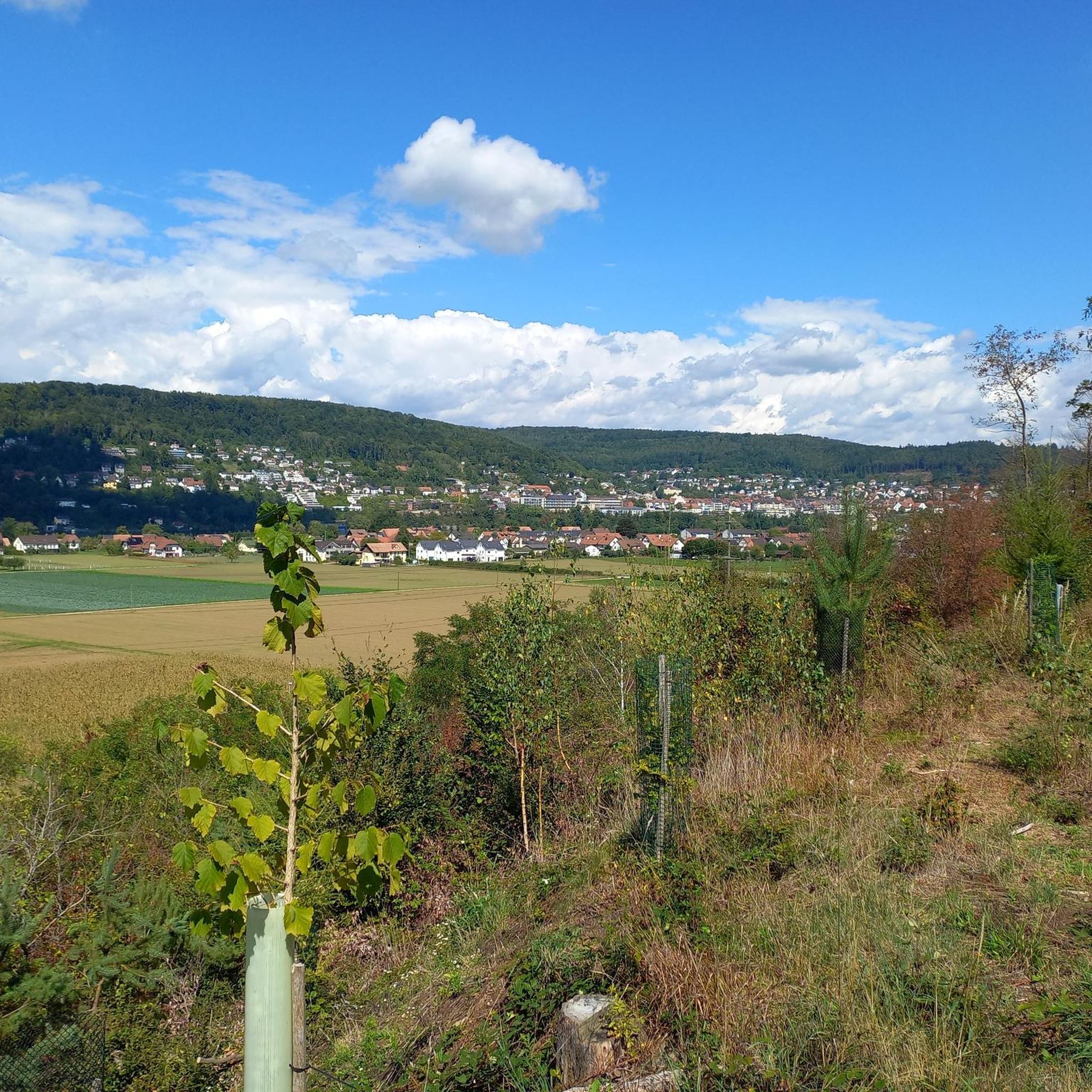
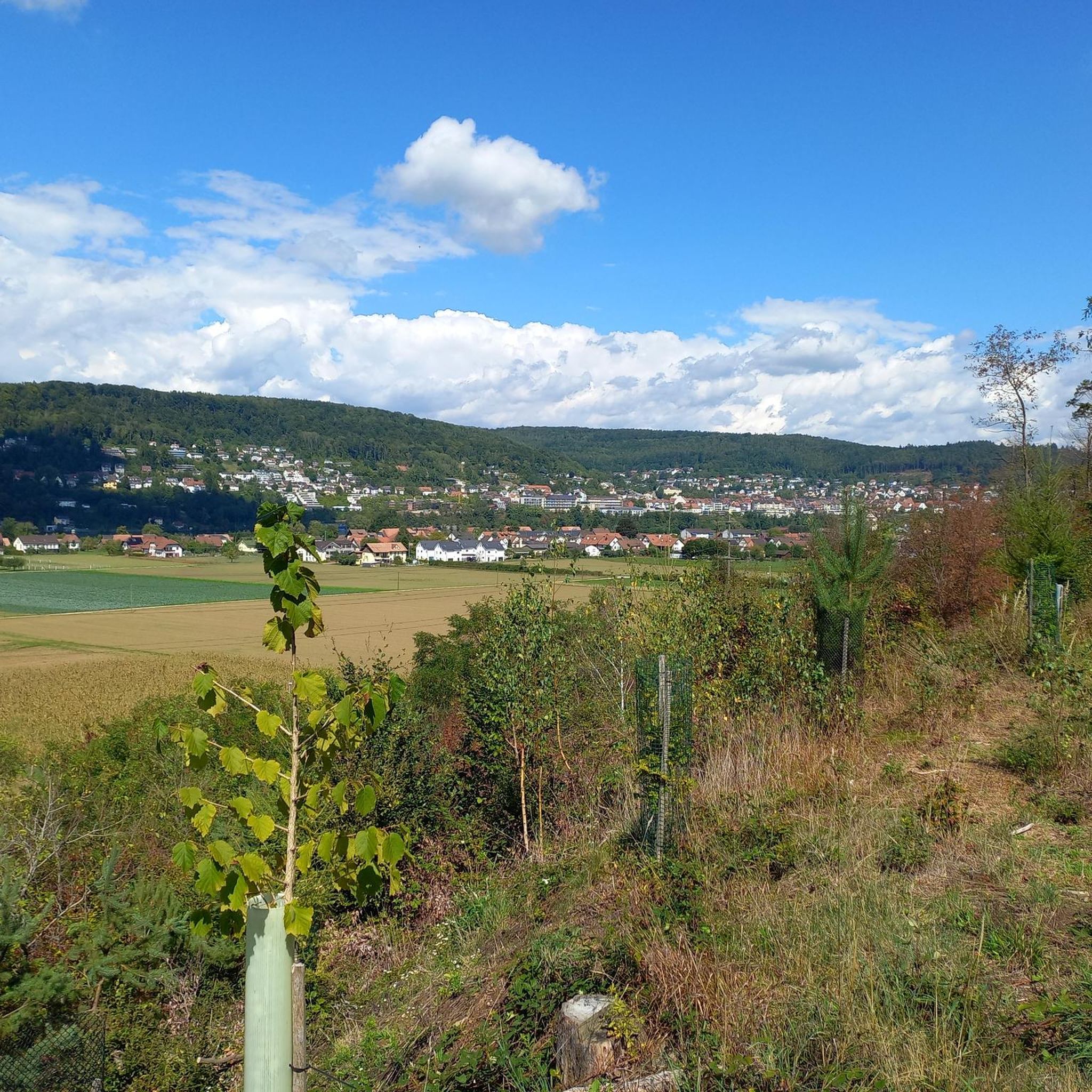
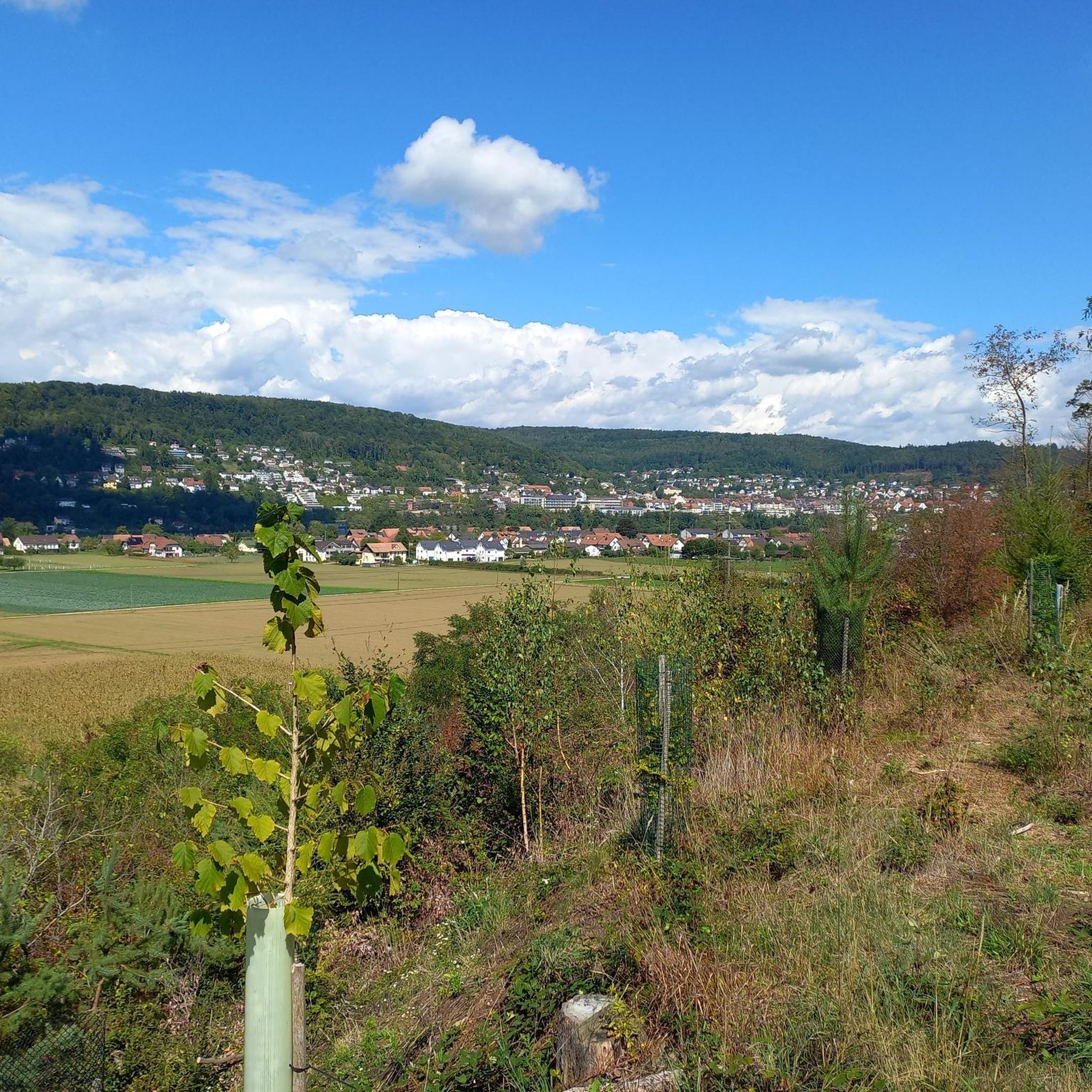
Hiking around Full-Reuenthal offers diverse landscapes characterized by its location at the confluence of the Aare and Rhine rivers. The region features agricultural areas, forests, and riverine paths, providing varied terrain for exploration. Hikers can find routes along the Rhine, through woodlands, and near the Klingnau Reservoir, a significant nature reserve. The elevation changes are generally gentle, with some routes offering panoramic views over the river valleys.
Best hiking trails around Full-Reuenthal
- The most popular hiking route is Stadt. Wald. Fluss (City. Forest. River.) – route double pack in Waldshut-Tiengen, a 14.6 miles (23.5 km) trail that takes 6 hours 44 minutes to complete. This difficult route explores urban, forest, and river landscapes.
- Another top favourite among local hikers is Swans on the Rhine – Waldshut Old Town loop from Waldshut-Tiengen, an easy 3.6 miles (5.8 km) path. This route offers an easy walk along the Rhine, passing through Waldshut's old town.
- Local hikers also love the Heilig Kreuz Chapel – View from the Haspelhäuschen loop from Waldshut, a 5.6 miles (9.0 km) trail leading through varied terrain, often completed in about 2 hours 41 minutes.
- Hiking around Full-Reuenthal is defined by river paths along the Rhine and Aare, forested sections, and views over the Klingnau Reservoir. The network offers options for different ability levels, from easy riverside strolls to more challenging forest trails.
- The routes in Full-Reuenthal are highly rated by the komoot community with an average score of 4.6 stars from more than 2600 reviews. More than 13000 hikers have used komoot to explore Full-Reuenthal's varied terrain.
Last updated: October 2, 2026
3.3
(3)
8
hikers
Hard hike. Very good fitness required. Mostly accessible paths. Sure-footedness required.
4.5
(15)
119
hikers
5.76km
01:32
60m
60m
Easy hike. Great for any fitness level. Easily-accessible paths. Suitable for all skill levels.

4.3
(13)
35
hikers
8.99km
02:42
280m
280m
Moderate hike. Good fitness required. Easily-accessible paths. Suitable for all skill levels.
4.3
(3)
39
hikers
23.2km
05:54
70m
70m
Hard hike. Very good fitness required. Easily-accessible paths. Suitable for all skill levels.
4.6
(5)
21
hikers
27.1km
06:58
130m
130m
Hard hike. Very good fitness required. Easily-accessible paths. Suitable for all skill levels.
Get access to more routes and recommendations from other explorers.
Already have an account?
Our route recommendations are based on thousands of hikes, rides, and runs completed by other people on komoot.
Start today with a free account
Your next adventure awaits.
Tips from the Community

Popular connection between two countries, very popular with pedestrians and bikers. Especially busy on weekends and holidays.
0
0
Stop, linger. A beautiful place to be, for yourself and with yourself. Shady spot on the bench.
0
0
The Waldshut old town with its famous Kaiserstrasse! Very well-preserved and restored houses, many cafes and restaurants, a shopping street with many small shops, invites you to stop, to linger, to have an ice cream or cake with coffee, or simply to be here. Very busy during the day, and peace returns after 10 p.m. Even more pleasant for bikers.
0
0

Narrow bridge, partly many pedestrians
0
0

The Nachtigall-Strand is a quiet spot directly on the Rhine and perfect for a short break on the tour. With a view of the water, birdsong, and a relaxed atmosphere, the small beach invites you to linger, especially on warm days.
0
0
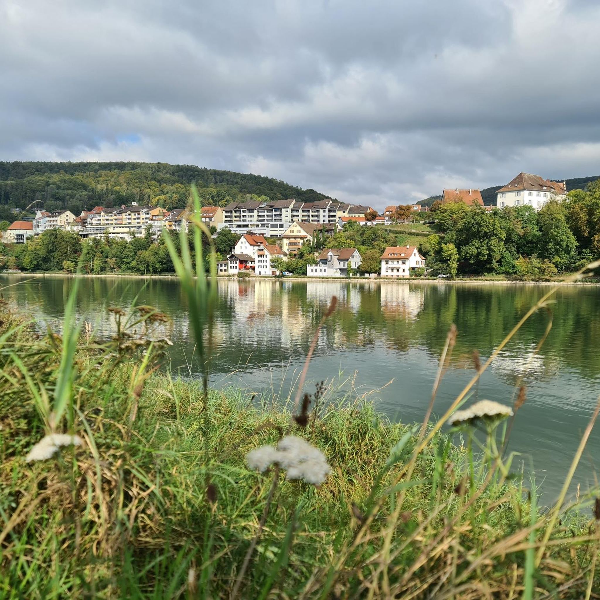
On the banks of the Rhine near Waldshut, I stopped for a moment because the swans were gliding very calmly on the water here. Together with the view across the Rhine, this creates a beautiful, peaceful spot to catch your breath – ideal for a short break on the tour.
0
0

A small wooden house - on stilts - allows a view down onto the Rhine
0
0
With a mountain bike, a short detour to the Unteres Tor, also known as Basler Tor, in Waldshut-Tiengen is worthwhile. I found it nice to slow down here briefly and soak in the historic old town atmosphere. The old city gate is a striking point on the tour and is perfect for a short stop or a photo.
0
0
Frequently Asked Questions
How many hiking trails are available around Full-Reuenthal?
There are over 1000 hiking routes in the Full-Reuenthal area, catering to various preferences and skill levels. You'll find everything from easy riverside strolls to more challenging forest trails.
What kind of terrain can I expect on hikes in Full-Reuenthal?
Hiking in Full-Reuenthal offers a diverse landscape. You can expect paths along the scenic Rhine and Aare rivers, through agricultural areas, and into forests. Some routes also provide views over the Klingnau Reservoir. The elevation changes are generally gentle, though some trails offer more significant climbs for panoramic views.
Are there any family-friendly hiking options in Full-Reuenthal?
Yes, Full-Reuenthal has many easy routes suitable for families. For instance, the Swans on the Rhine – Waldshut Old Town loop from Waldshut-Tiengen is an easy 3.6-mile path perfect for a relaxed outing along the Rhine.
Can I bring my dog on the hiking trails in Full-Reuenthal?
Many trails in Full-Reuenthal are dog-friendly, offering plenty of opportunities for you and your canine companion to explore the natural beauty of the region. Always ensure your dog is under control and check for any specific local regulations regarding pets on trails.
What natural features or landmarks can I see while hiking in Full-Reuenthal?
The region is rich in natural beauty. You can hike along the Rhine and Aare rivers, visit the confluence of the Aare and Rhine near Koblenz, or observe birdlife at the Klingnau Reservoir nature reserve. For a dramatic sight, explore the Great Höllbach Waterfall. Don't miss the Serpentine Pass Near Hottwil or the Bührersteiger Pass Summit Bunker for unique points of interest.
Are there any circular walks available in Full-Reuenthal?
Yes, many of the hiking routes in Full-Reuenthal are designed as circular walks, allowing you to start and end at the same point. An example is the Swans on the Rhine – Waldshut Old Town loop from Waldshut-Tiengen, which offers an easy loop along the river.
What is the best time of year to go hiking in Full-Reuenthal?
Full-Reuenthal is enjoyable for hiking throughout much of the year. Spring and autumn offer pleasant temperatures and beautiful scenery, with vibrant foliage or blooming flora. Summer is also popular, especially for riverside walks, though it can be warmer. Winter hiking is possible, but some paths might be slippery or require appropriate gear.
Where can I find panoramic views in Full-Reuenthal?
For breathtaking panoramic views, head to the "Aussichtspunkt Ried / Chrützli Reuenthal." From here, you can enjoy expansive vistas of Full, Germany, the Rhine, and across the Aare valley, with glimpses of the Alps on clear days.
How do other hikers rate the trails in Full-Reuenthal?
The hiking trails in Full-Reuenthal are highly regarded by the komoot community, with an average rating of 4.6 stars from over 2600 reviews. Hikers often praise the diverse landscapes, well-maintained paths, and the scenic beauty of the river valleys.
Are there any unique transport options or activities near the hiking trails?
Yes, a unique feature is the Rhine Ferry service, which connects Full across the Rhine to Waldshut, Germany, offering a charming way to extend your exploration. Additionally, you can enjoy boat tours on the Rhine, or visit the local public swimming pool, Badi Full, during the summer months.
Are there any longer, more challenging hikes in the area?
For those seeking a more challenging experience, routes like Stadt. Wald. Fluss (City. Forest. River.) – route double pack in Waldshut-Tiengen offer a difficult 14.6-mile journey through urban, forest, and river landscapes, taking around 6 hours and 44 minutes to complete.
What is the Klingnau Reservoir and can I hike near it?
The Klingnau Reservoir is an artificially dammed lake on the lower reaches of the Aare, just before its confluence with the Rhine. It's a recognized nature reserve and a vital habitat for many bird species. You can certainly find hiking paths that offer views of and access to this beautiful area, such as the View of the Aare – View of Klingnau Reservoir loop from Koblenz.
Most popular routes around Full-Reuenthal
Most popular attractions around Full-Reuenthal

Get inspired with the komoot mobile app


Explore more
Browse the best Hikes in other regions.
