The best walks and hikes around Črna Na Koroškem
4.4
(1026)
8,168
hikers
165
hikes
Hiking around Črna Na Koroškem is defined by its dramatic mountain landscapes and pristine alpine valleys. The region is situated within the Karavanke Mountains and the Kamnik-Savinja Alps, featuring prominent peaks like Peca and Uršlja gora. Extensive forests, such as those in the Mežica Valley, and notable alpine valleys like Topla and Bistra, characterize the terrain. This area offers a diverse range of natural attractions for outdoor exploration.
Best hiking trails around Črna Na Koroškem
- The most popular hiking route is Kordesch Kopf – Kordeževa Glava Summit loop from Riška gora, a 6.6 miles (10.7 km) trail that takes 5 hours 20 minutes to complete. This difficult route ascends to the Kordeževa Glava summit, offering expansive views.
- Another top favourite among local hikers is Plešivec Hut, Mount St. Ursula loop from Uršlja gora, a moderate 5.6 miles (9.0 km) path. This trail leads through forested slopes to the Plešivec Hut and Mount St. Ursula.
- Local hikers also love the Kordeževa Glava Summit – Knieps (Königov Vrh) – 2109 m loop from Rudnik Topla, a 9.9 miles (16.0 km) trail leading through the high peaks of the Karavanke, often completed in about 7 hours 34 minutes.
- Hiking around Črna Na Koroškem is defined by its majestic mountain ranges, serene alpine valleys, and extensive forests. The network offers options for various ability levels, from leisurely walks to challenging climbs.
- The routes in Črna Na Koroškem are highly rated by the komoot community with an average score of 4.4 stars from over 900 reviews. More than 7,800 hikers have used komoot to explore Črna Na Koroškem's varied terrain.
Last updated: July 5, 2026
4.4
(11)
127
hikers
10.6km
05:18
1,060m
1,060m
Hard hike. Very good fitness required. Mostly accessible paths. Sure-footedness required.
4.5
(10)
52
hikers
8.96km
03:36
620m
620m
Moderate hike. Good fitness required. Mostly accessible paths. Sure-footedness required.

Sign up for free
5.0
(4)
71
hikers
15.6km
07:27
1,230m
1,230m
Hard hike. Very good fitness required. Mostly accessible paths. Sure-footedness required.
3.7
(3)
25
hikers
19.3km
07:07
990m
1,000m
Hard hike. Very good fitness required. Sure-footedness, sturdy shoes and alpine experience required.
4.5
(4)
33
hikers
15.6km
05:39
860m
860m
Hard hike. Very good fitness required. Mostly accessible paths. Sure-footedness required.
4.3
(3)
18
hikers
3.86km
01:13
150m
150m
Easy hike. Great for any fitness level. Easily-accessible paths. Suitable for all skill levels.
3.0
(1)
17
hikers
4.98km
02:42
520m
520m
Moderate hike. Good fitness required. Mostly accessible paths. Sure-footedness required.
20
hikers
6.46km
02:59
580m
580m
Moderate hike. Good fitness required. Mostly accessible paths. Sure-footedness required.
4.0
(1)
10
hikers
10.5km
03:32
470m
470m
Moderate hike. Good fitness required. Mostly accessible paths. Sure-footedness required.
5.0
(1)
10
hikers
5.19km
02:18
470m
470m
Moderate hike. Good fitness required. Mostly accessible paths. Sure-footedness required.
Get access to more routes and recommendations from other explorers.
Sign up for free
Already have an account?
Our route recommendations are based on thousands of hikes, rides, and runs completed by other people on komoot.
Start today with a free account
Your next adventure awaits.
Login or Signup
Popular around Črna Na Koroškem
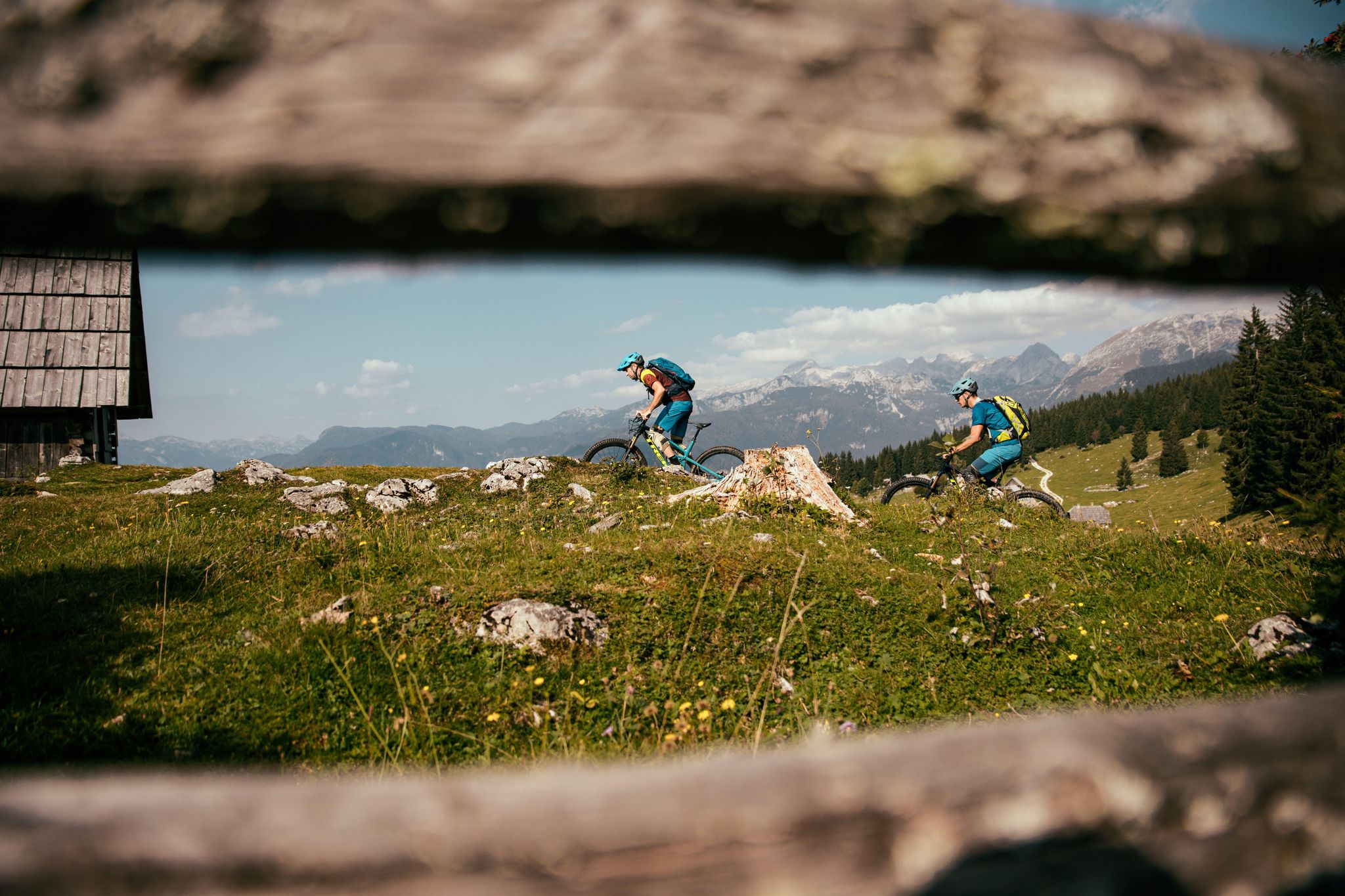
A 1,800 km MTB adventure – the Slovenian mountainbike route (STKP)
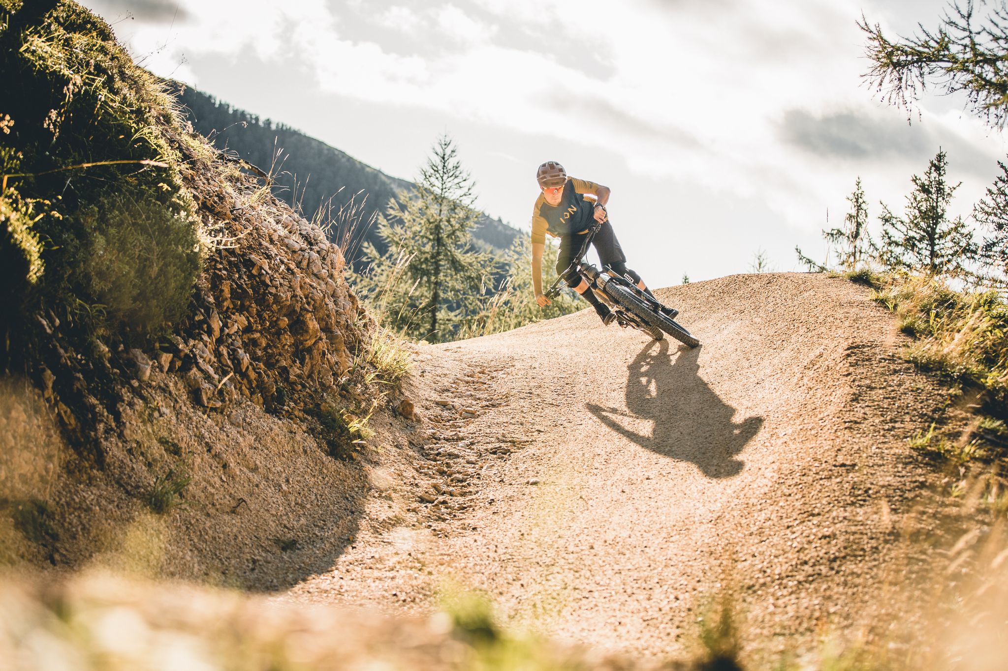
In the border area – trails between Slovenia and Austria
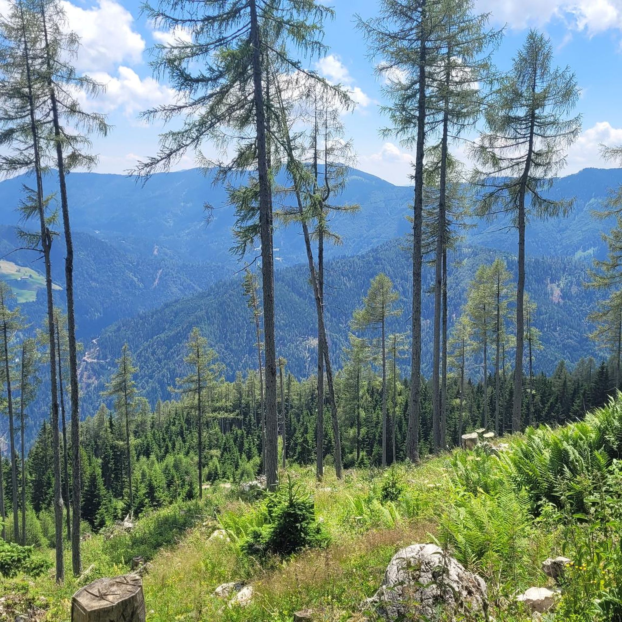
MTB Trails around Črna Na Koroškem
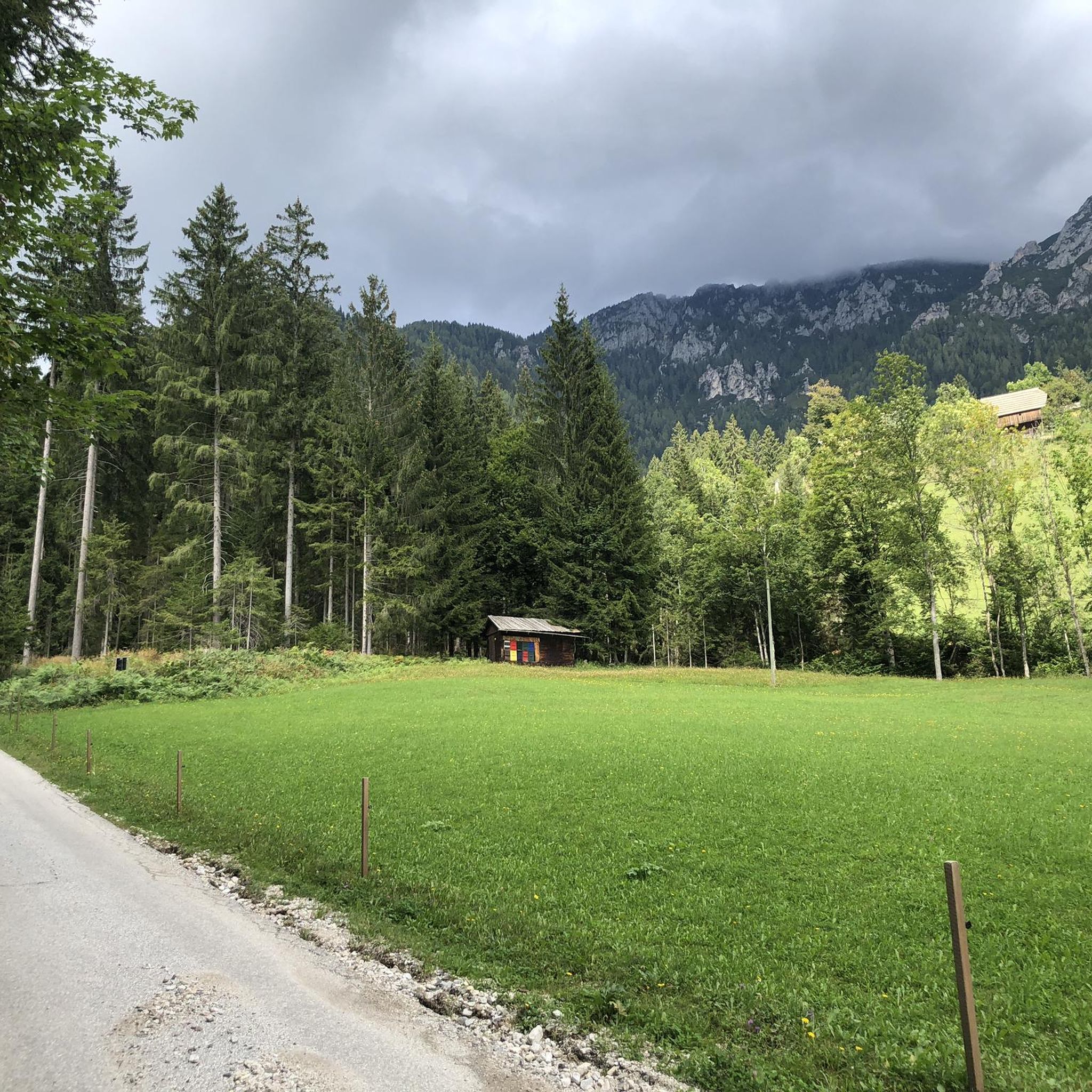
Road Cycling Routes around Črna Na Koroškem
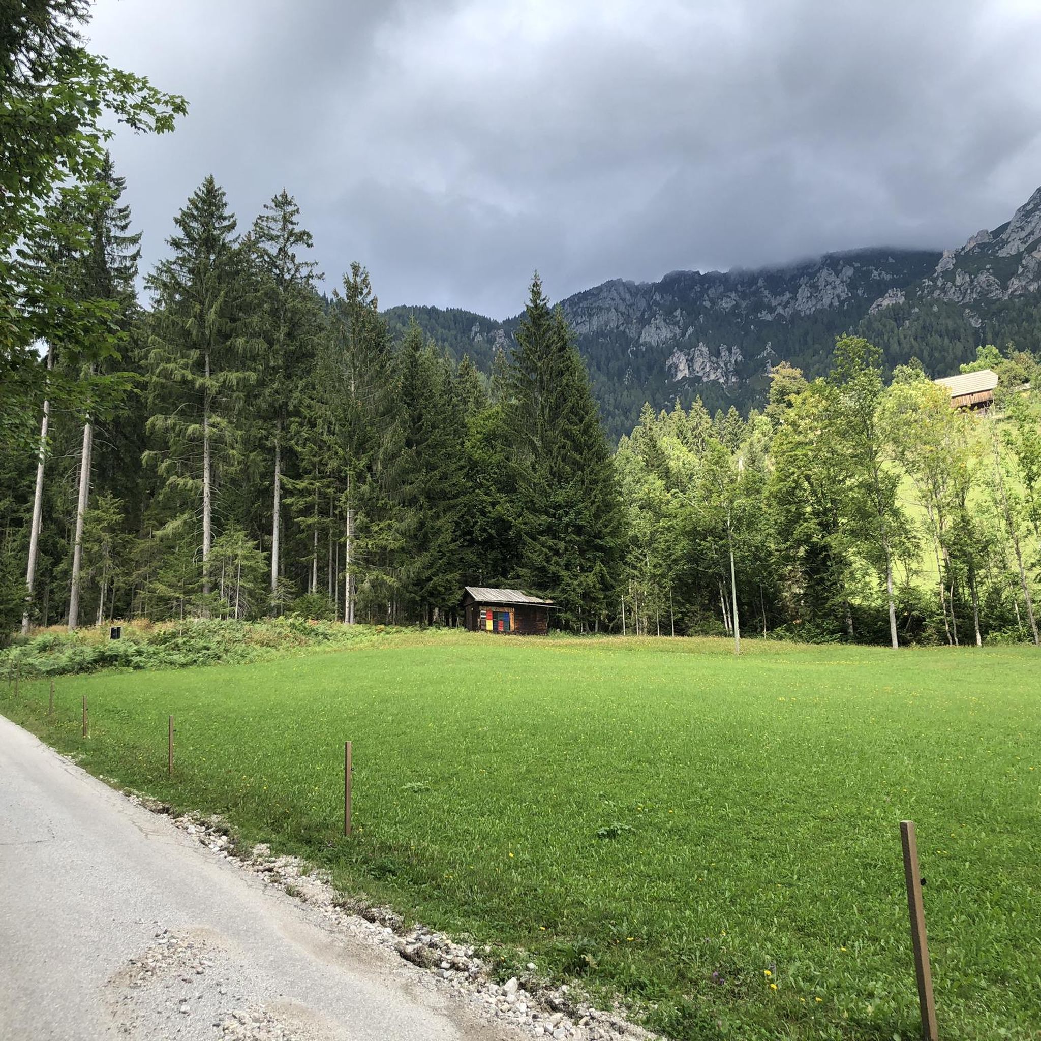
Cycling around Črna Na Koroškem
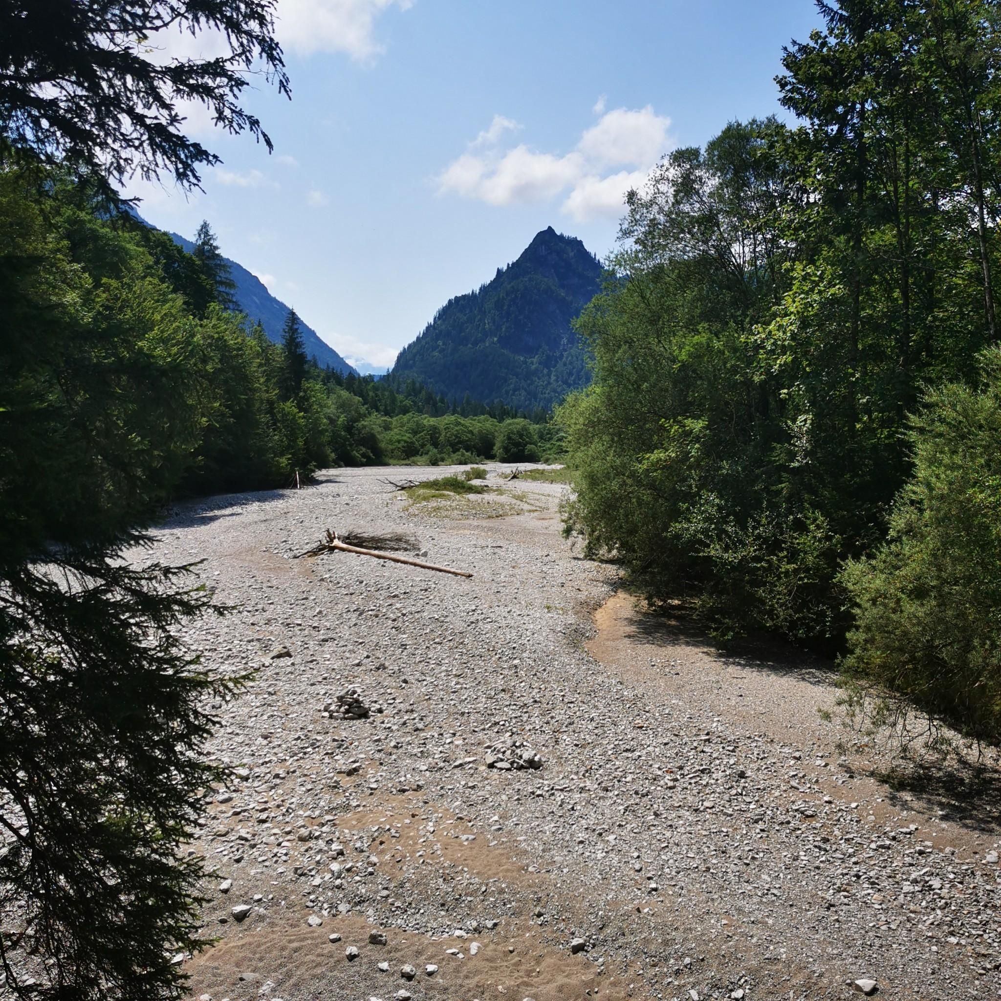
Mountain Hikes around Črna Na Koroškem
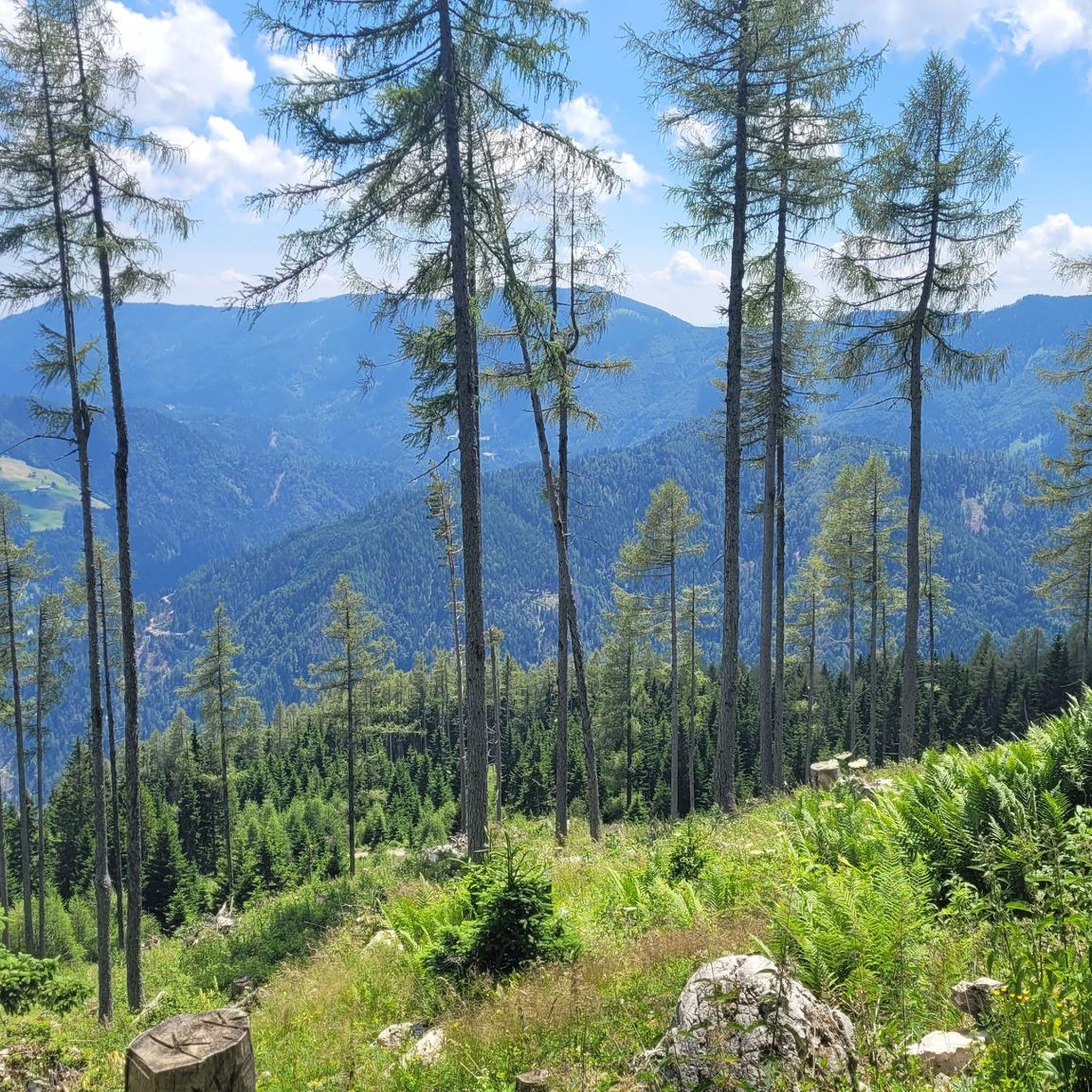
Running Trails around Črna Na Koroškem
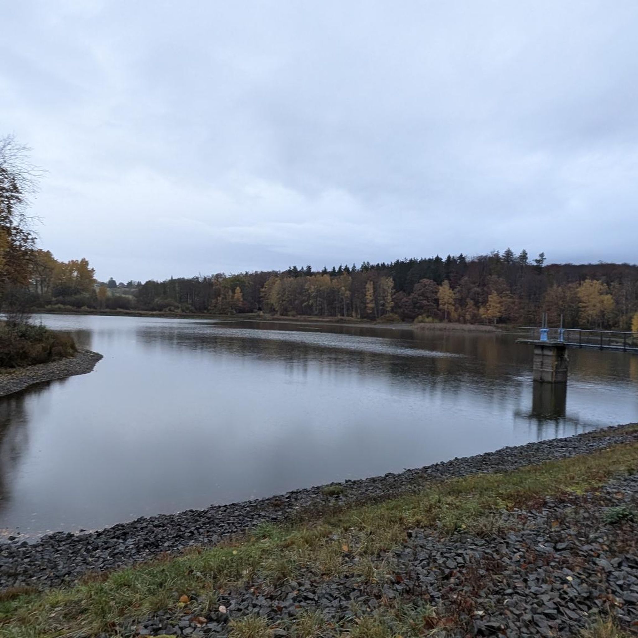
Gravel biking around Črna Na Koroškem


Tips from the Community

beautiful view of the Karawanken
0
0
wonderful natural spectacle to marvel at!
0
0
wonderful view into the Steiner Alps
0
0

Just stop and soak up the fantastic Alpine panorama – it doesn't get much better than this!
0
0

There is a great view of the surrounding mountains here.
2
0
It is written on the tablet: "I have been here since time immemorial, licking and smoothing the rocks beneath me."
2
0

Not a very difficult climb, rewarded with an extremely beautiful view.
0
0
Frequently Asked Questions
How many hiking trails are there in Črna Na Koroškem?
Črna Na Koroškem offers a wide variety of hiking opportunities, with over 170 routes available. These trails cater to all levels, from leisurely strolls to challenging mountain ascents.
Are there easy hiking trails suitable for beginners or families?
Yes, Črna Na Koroškem has over 35 easy hiking trails. For a gentle walk, consider the Grohatu Hut loop from Bukovnik, which is just under 4 km long with minimal elevation gain, perfect for a relaxed outing.
What kind of challenging hikes can I find in the region?
For experienced hikers, Črna Na Koroškem offers over 45 difficult routes. The Kordesch Kopf – Kordeževa Glava Summit loop from Riška gora is a demanding 10.7 km trail ascending to the iconic Kordeževa Glava summit on Peca, offering expansive panoramic views. Another challenging option is the Govca – Potočka Zijalka Cave loop from Bukovnik, which covers over 19 km with significant elevation changes.
Which hikes offer the best panoramic views in Črna Na Koroškem?
Many trails in Črna Na Koroškem provide stunning vistas. Hikes to Peca Mountain, particularly to its highest point, Kordeževa Glava Summit, offer breathtaking 360-degree views. Similarly, the peak of Olševa Mountain, Govca, provides stunning views of Peca, Raduha, and the sharp silhouette of Ojstrica in the Grintovci range. The Smrekovec Summit loop also provides expansive views of the Celje basin and the forested Golte region.
Are there any hikes that feature waterfalls?
Yes, the landscape around Črna Na Koroškem is dotted with picturesque waterfalls. You can find easily accessible trails leading to delightful spots like Božič's Waterfall and Rezman Waterfall, which are perfect for excursions and offer captivating natural beauty.
What unique natural landmarks or attractions can I explore while hiking?
Beyond mountain peaks, you can discover several unique natural landmarks. The ancient and revered Najevska Linden Tree, often called the 'mother of all lime trees in Slovenia,' is a significant natural landmark. The region is also part of the Geopark Karavanke, where you can explore the King Matjaž Cave, home to a bronze statue of the legendary sleeping king, or even the Peca Underground in Mežica for a unique mine exploration experience.
Are there circular hiking routes available?
Yes, many of the trails in Črna Na Koroškem are designed as circular routes, allowing you to start and end at the same point. Examples include the Plešivec Hut, Mount St. Ursula loop from Uršlja gora and the Hiking loop from Cerkev svete Uršule, providing convenient options for exploration.
What do other hikers enjoy most about hiking in Črna Na Koroškem?
The hiking trails in Črna Na Koroškem are highly rated by the komoot community, with an average score of 4.4 stars from over 900 reviews. Hikers often praise the dramatic mountain landscapes, pristine alpine valleys, and the diverse range of well-maintained trails that cater to various skill levels.
When is the best time of year to go hiking in Črna Na Koroškem?
The best time for hiking in Črna Na Koroškem is generally from late spring to early autumn (May to October), when the weather is mild, and the trails are clear of snow. This period allows for comfortable exploration of the mountain peaks, alpine valleys, and forests, with vibrant flora and fauna.
Is Črna Na Koroškem suitable for dog-friendly hiking?
Many trails in Črna Na Koroškem are suitable for hiking with dogs, especially those through the extensive forests and alpine valleys. It's always advisable to keep dogs on a leash, especially in areas with livestock or protected wildlife, and to carry enough water for both yourself and your pet.
Are there any themed hiking routes in the area?
Yes, the region offers engaging themed routes that combine natural beauty with cultural insights. A notable example is the 'Route of King Matjaž,' which leads to ethnographical and mining collections, an info point for the Geopark Karavanke, and the legendary King Matjaž Cave.
Are there places to stay or huts along the hiking trails?
Yes, for hikers looking to extend their adventures or find refreshment, there are several huts in the region. You can find places like the Pikovo Mountain Hut and the Plešivec Hut, which are often integrated into popular hiking routes, providing rest stops and sometimes overnight accommodation.
Most popular routes around Črna Na Koroškem
Most popular attractions around Črna Na Koroškem

Get inspired with the komoot mobile app


Explore more
Browse the best Hikes in other regions.
