The best mountain hikes around Prevalje
4.9
(7)
130
hikers
10
hikes
Mountaineering routes around Prevalje are situated within Slovenia's Mežica Valley, surrounded by the Pohorje Mountains. This region features a diverse mountainous terrain with picturesque forests and expansive meadows. Notable peaks include Mount St. Ursula (Uršlja Gora) at 1,699 meters, the easternmost peak of the Karawank Alps, and scenic vistas of Petzen Mountain. The area offers a well-developed network of trails for various skill levels.
Best mountaineering routes around Prevalje
- The most popular mountaineering route is Valley station Petzen cable car – Customs hut loop from Feistritz ob Bleiburg, a 9.8 miles (15.8 km) trail that takes 5 hours 52 minutes to complete. This difficult route offers significant elevation gain through mountainous terrain.
- Another top favourite among local mountaineers is Kniepssattel (2012 m) – Krischahütte Jht. (1578 m) loop from Panoramarestaurant oben, a moderate 4.6 miles (7.5 km) path. This route traverses alpine landscapes, connecting two prominent mountain points.
- Local mountaineers also love the Valley station Petzen cable car – Krischahütte Jht. (1578 m) loop from Feistritz ob Bleiburg, a 7.5 miles (12.0 km) trail leading through varied mountain scenery, often completed in about 6 hours 12 minutes.
- Mountaineering around Prevalje is defined by the Pohorje Mountains, the Mežica Valley, and significant peaks like Mount St. Ursula. The network offers options for different ability levels, from moderate ascents to more challenging routes.
- The routes in Prevalje are highly rated by the komoot community with an average score of 4.8 stars from over 7 reviews. More than 160 mountaineers have used komoot to explore Prevalje's varied terrain.
Last updated: June 26, 2026
5.0
(3)
27
hikers
Moderate mountaineering route. Good fitness required. Mostly accessible paths. Sure-footedness required.
20
hikers
Moderate mountaineering route. Good fitness required. Mostly accessible paths. Sure-footedness required.

Sign up for free
18
hikers
12.0km
06:12
1,060m
1,060m
Hard mountaineering route. Very good fitness required. Sure-footedness, sturdy shoes and alpine experience required.
17
hikers
6.53km
02:41
450m
450m
Moderate mountaineering route. Good fitness required. Mostly accessible paths. Sure-footedness required.
11
hikers
20.4km
09:28
1,560m
1,560m
Hard mountaineering route. Very good fitness required. Mostly accessible paths. Sure-footedness required.
5.0
(1)
7
hikers
2.49km
01:31
240m
240m
Hard mountaineering route. Great for any fitness level. Sure-footedness, sturdy shoes and alpine experience required.
4.5
(2)
10
hikers
8.18km
04:04
730m
730m
Hard mountaineering route. Good fitness required. Sure-footedness, sturdy shoes and alpine experience required.
5.0
(1)
9
hikers
Moderate mountaineering route. Good fitness required. Mostly accessible paths. Sure-footedness required.
5
hikers
22.1km
08:50
1,530m
1,530m
Hard mountaineering route. Very good fitness required. Mostly accessible paths. Sure-footedness required.
Our route recommendations are based on thousands of hikes, rides, and runs completed by other people on komoot.
Start today with a free account
Your next adventure awaits.
Login or Signup
Popular around Prevalje
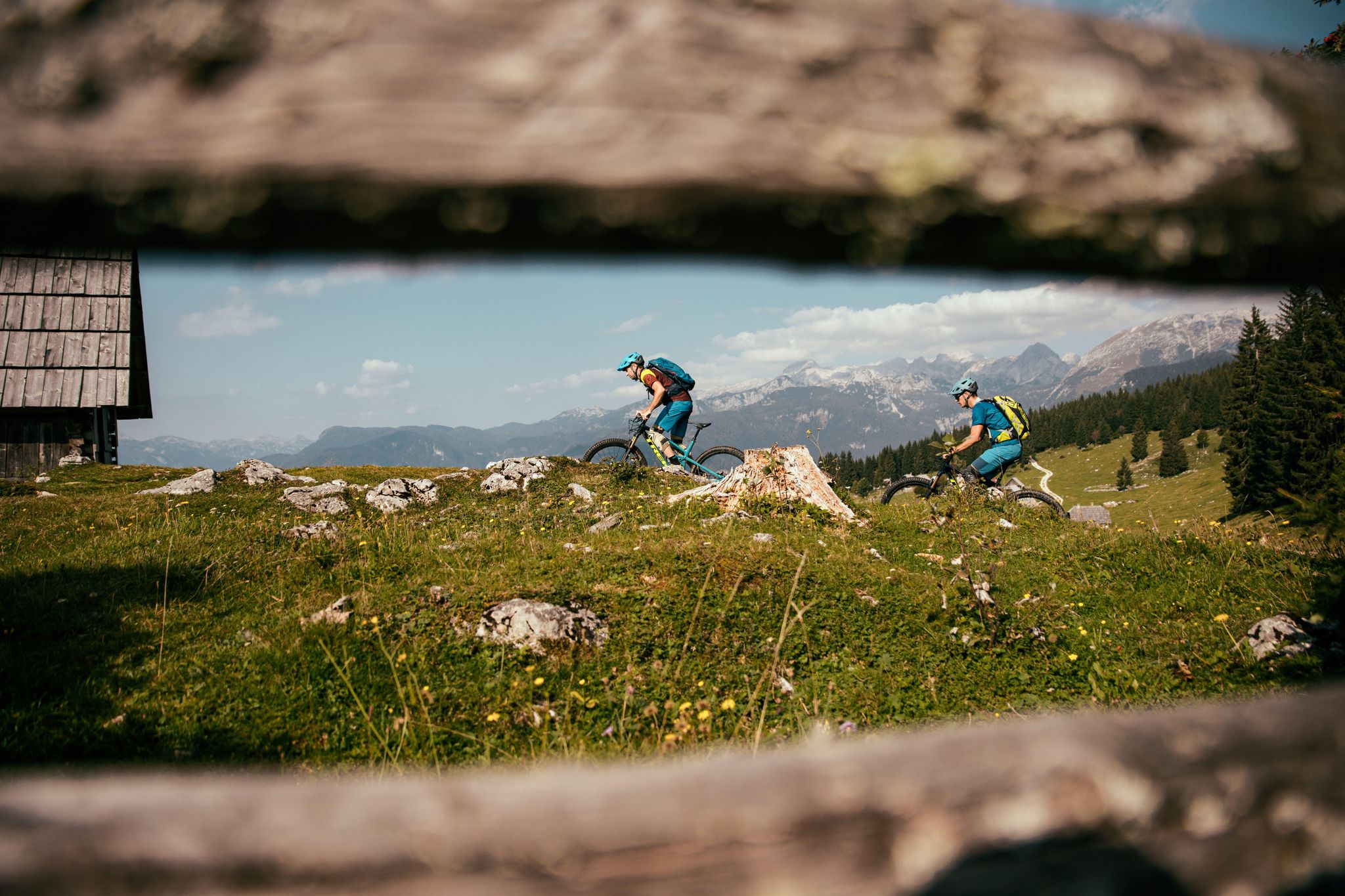
A 1,800 km MTB adventure – the Slovenian mountainbike route (STKP)
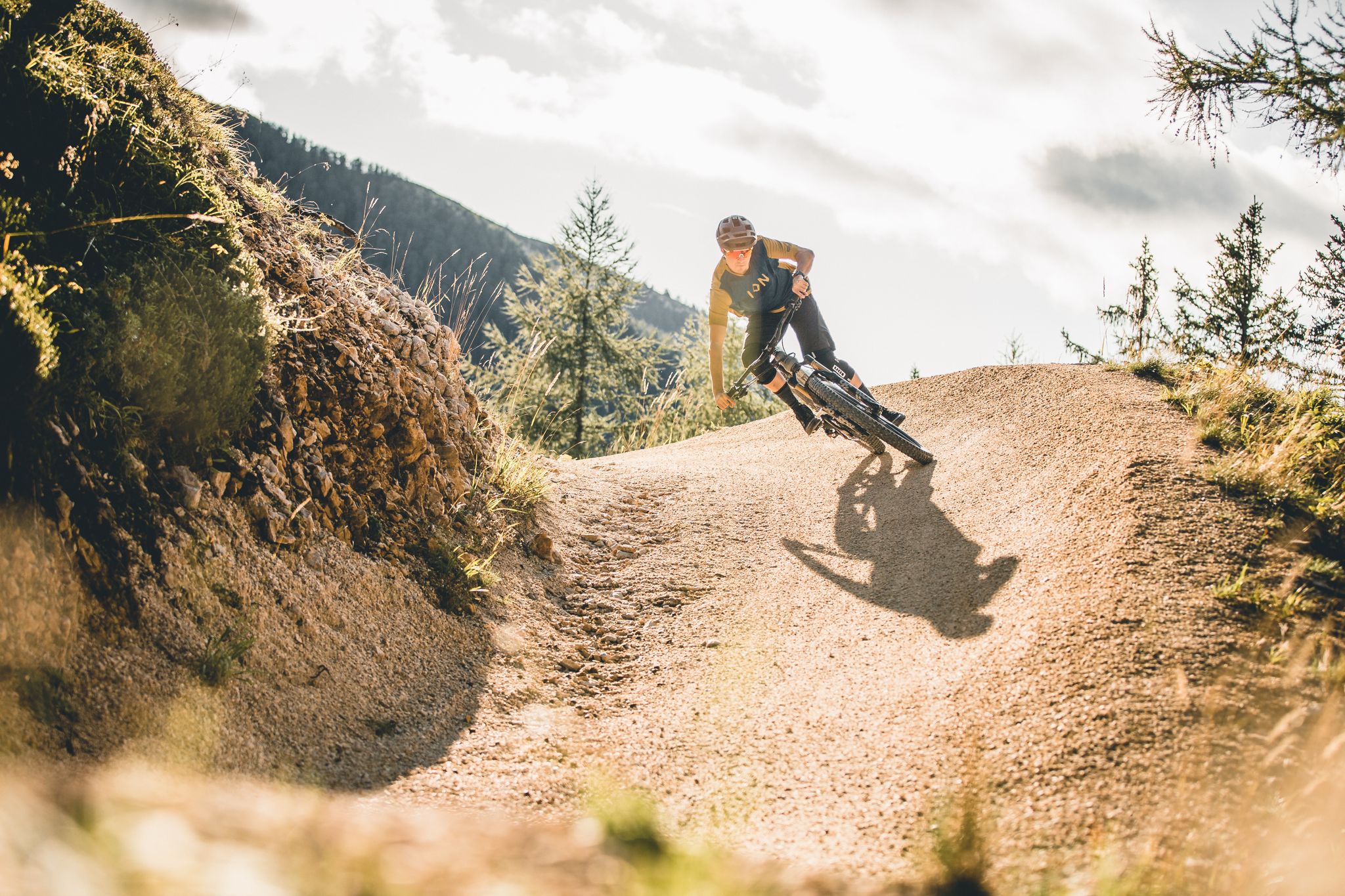
In the border area – trails between Slovenia and Austria
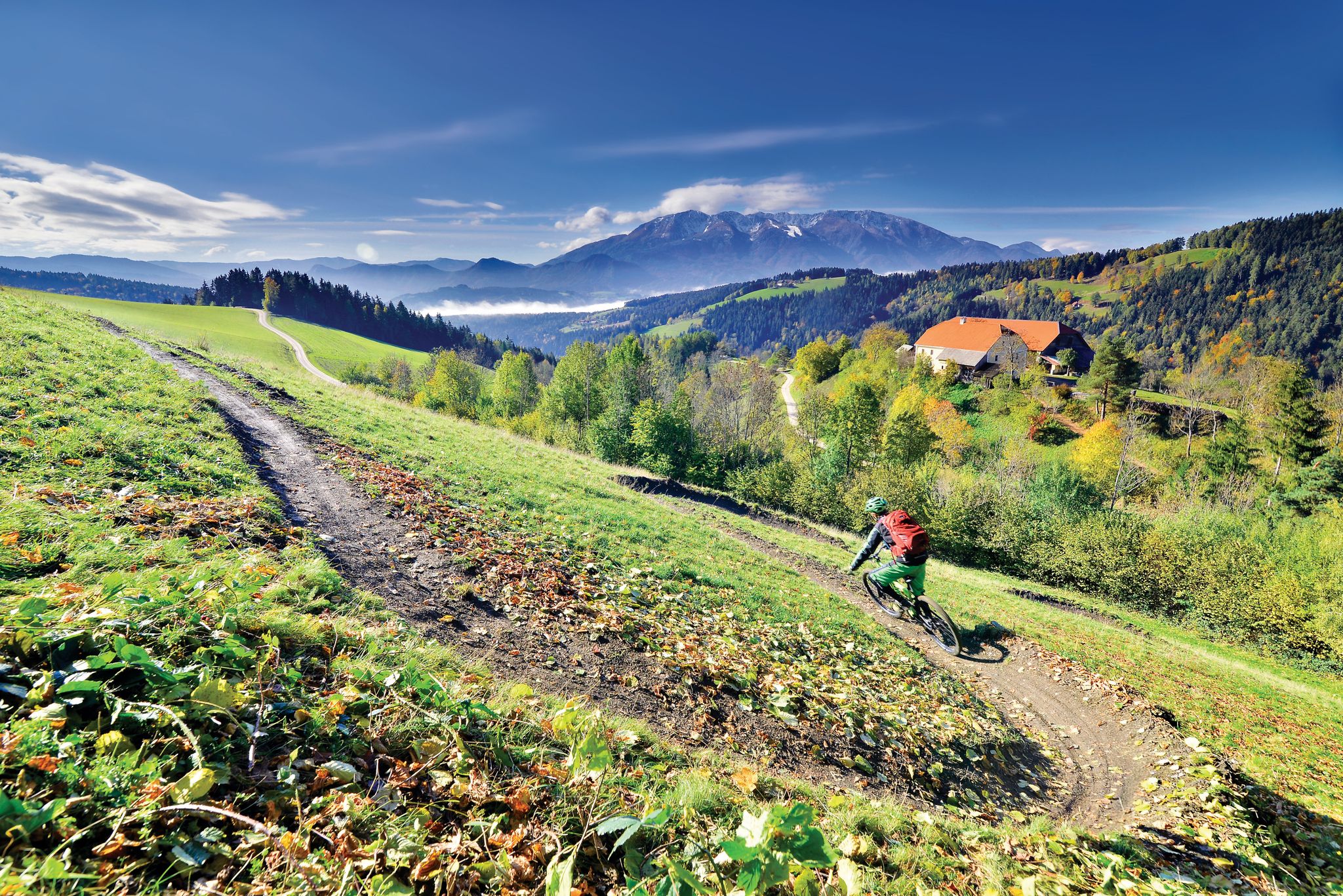
Deep below ground and close to the sky - mountain biking in Koroška
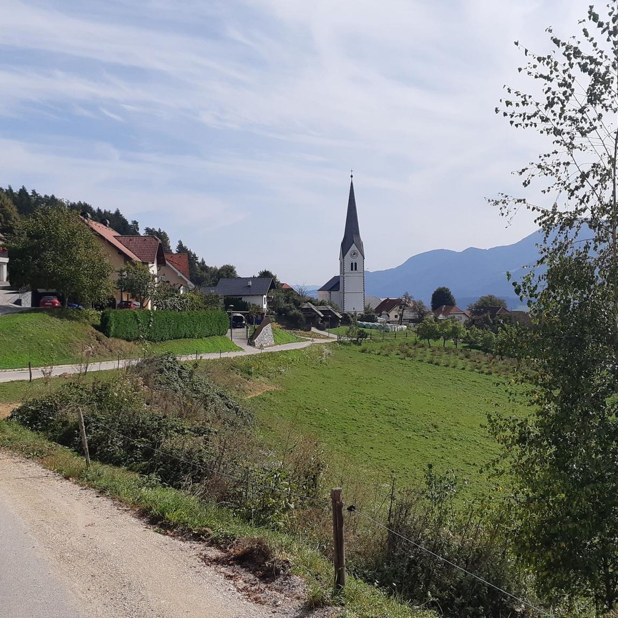
MTB Trails around Prevalje
Cycling around Prevalje
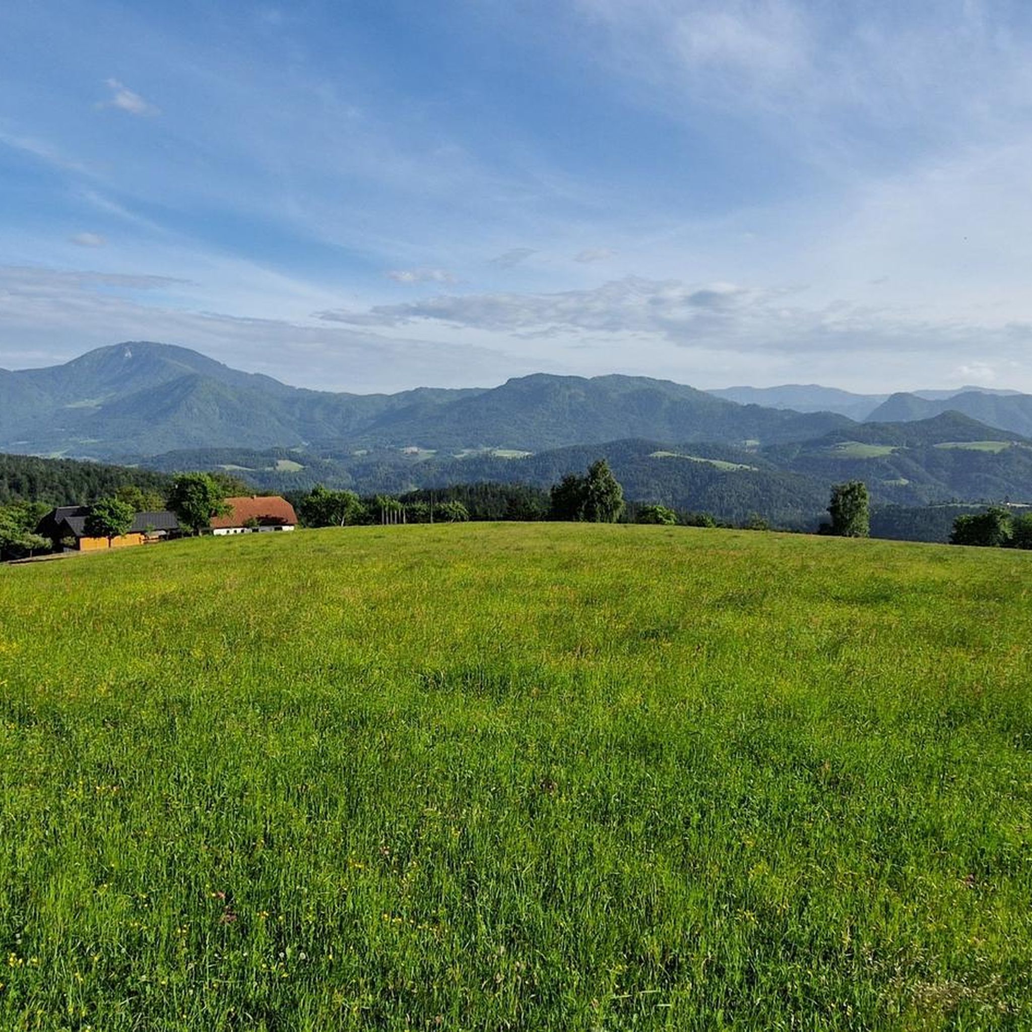
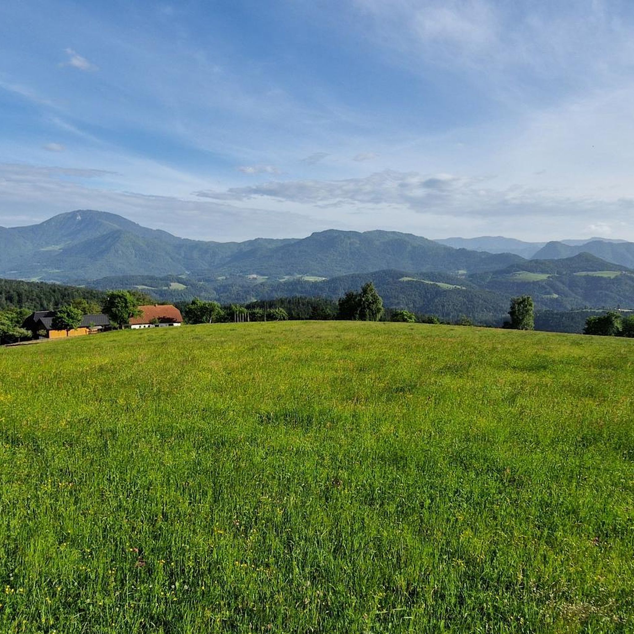
Hiking around Prevalje
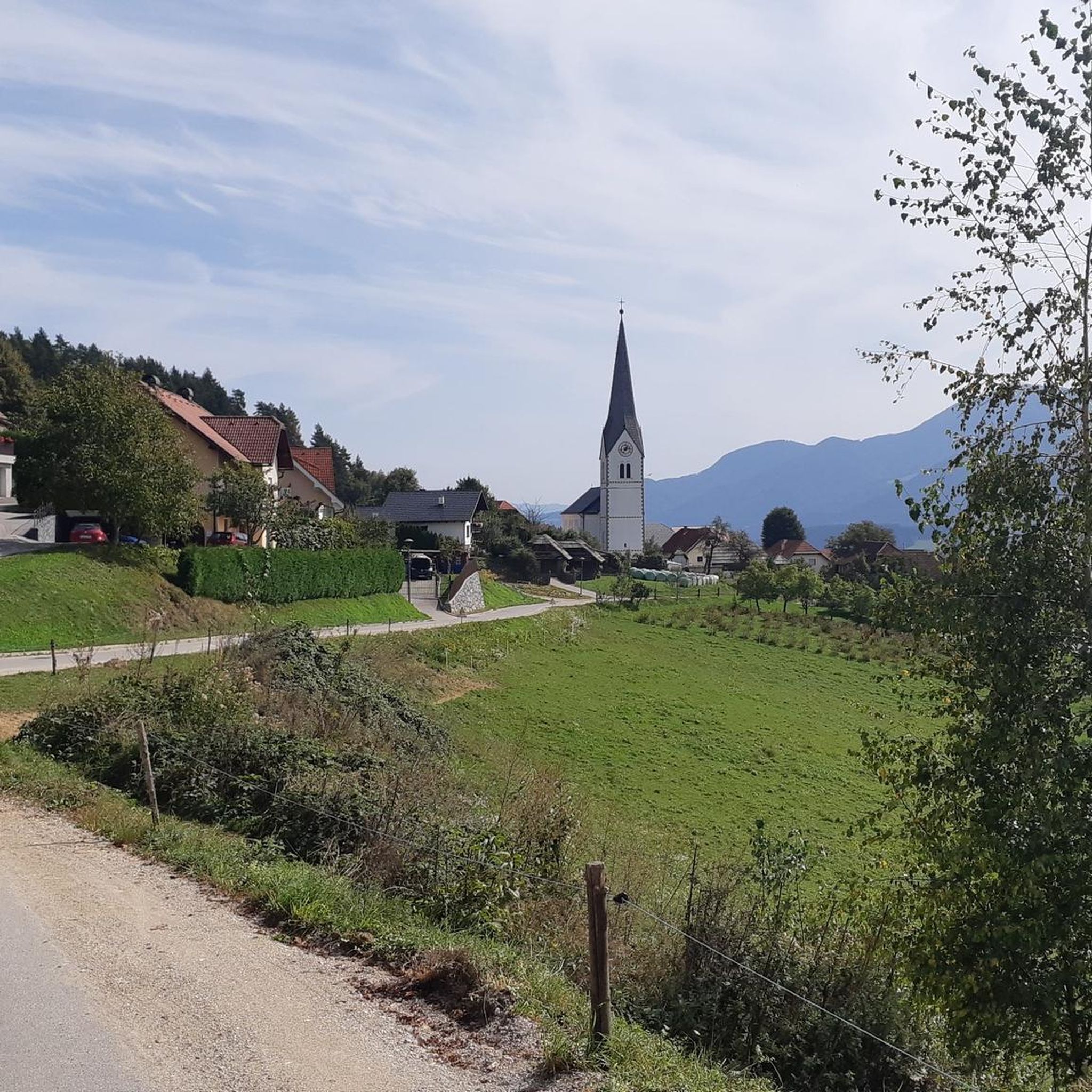
Running Trails around Prevalje
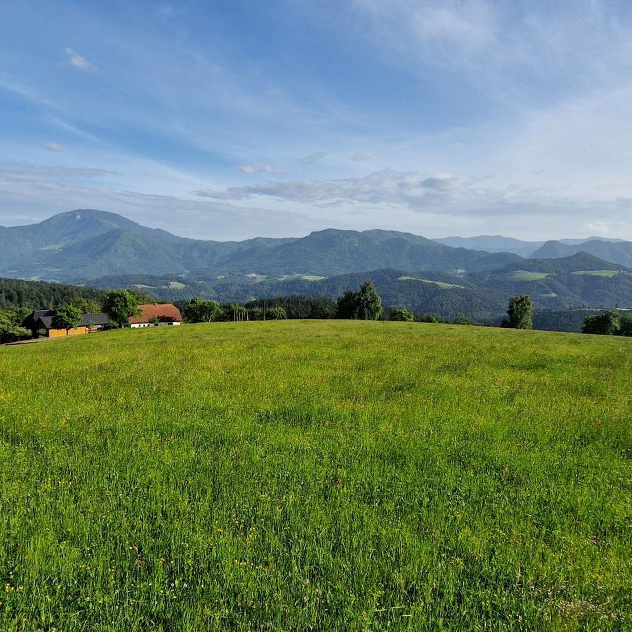
Road Cycling Routes around Prevalje
Gravel biking around Prevalje
Other adventures around Prevalje


Tips from the Community

Petzen Bike Park is an absolute must for young and old! Anyone who loves mountain biking will get their money's worth here, whether they're an expert or a beginner!
0
0

Not a very difficult climb, rewarded with an extremely beautiful view.
0
0

Along the path around Uršlja Gora or to Gora
1
0

Great views! Simply wonderful!
0
0

This route is via ferata. technical knowledge needed. there is also an alternative easy route
0
0

A nice spot with great views in all directions
0
0

Very nice installation and a little highlight for the children on a family bike trip.
0
0

Beautiful summit with a first-class panoramic view. You could even drive to the Wackersdorfer Hütte by car. The path first leads along a gravel path, then over beautiful alpine pastures to the summit! 🤩
1
0
Frequently Asked Questions
How many mountaineering routes are available around Prevalje?
Prevalje offers a selection of 11 mountaineering routes. These trails traverse the diverse mountainous terrain of the Mežica Valley and Pohorje Mountains, providing options for various skill levels.
What are the difficulty levels of mountaineering routes in Prevalje?
The mountaineering routes around Prevalje cater to a range of experiences. You'll find 4 moderate routes and 7 difficult routes, ensuring options for both those with some experience and seasoned mountaineers seeking a challenge.
Are there any moderate mountaineering routes suitable for those with some experience?
Yes, there are several moderate routes. For example, the Kniepssattel (2012 m) – Krischahütte Jht. (1578 m) loop from Panoramarestaurant oben is a popular choice, traversing alpine landscapes. Another good option is the Kniepssattel (2012 m) loop from Panoramarestaurant oben, which offers a rewarding experience without extreme difficulty.
Can you recommend a challenging mountaineering route for experienced hikers?
For experienced mountaineers, the Valley station Petzen cable car – Customs hut loop from Feistritz ob Bleiburg is a difficult 9.8-mile (15.8 km) trail with significant elevation gain. Another demanding option is the Krischahütte Jht. (1578 m) – Kniepssattel (2012 m) loop from Feistritz ob Bleiburg, which covers over 21 km and involves substantial ascent.
What natural features and viewpoints can I expect to see on mountaineering routes near Prevalje?
Mountaineering routes in Prevalje offer stunning views of the Pohorje Mountains and the Mežica Valley. A prominent feature is Mount St. Ursula (Uršlja Gora) at 1,699 meters, which provides exceptional panoramic views across Carinthia to Kozjak and the Kamnik-Savinja Alps. You'll also enjoy scenic vistas of Petzen Mountain and picturesque forests and expansive meadows throughout the region.
Are there any circular mountaineering routes in the Prevalje area?
Yes, many of the mountaineering routes around Prevalje are designed as loops. For instance, the Valley station Petzen cable car – Krischahütte Jht. (1578 m) loop from Feistritz ob Bleiburg is a popular circular trail. Another option is the View from Uršlja Gora – Dobratsch Transmitter loop from Uršlja gora, offering a circular journey from the prominent Mount St. Ursula.
What is the best time of year for mountaineering in Prevalje?
The warmer months, typically from late spring to early autumn, are generally the best time for mountaineering in Prevalje. During this period, trails are usually clear of snow, and the weather is more stable, offering ideal conditions for exploring the mountainous terrain and enjoying the panoramic views.
Are there options for family-friendly mountaineering near Prevalje?
While many routes are moderate to difficult, families with older children or those accustomed to hiking can find suitable options. The region's extensive trail network includes paths that, depending on the specific starting point and chosen segment, can be adapted for varying fitness levels. Always check the route details for elevation and duration to ensure it matches your family's capabilities.
What do other mountaineers say about the routes around Prevalje?
The mountaineering routes around Prevalje are highly rated by the komoot community, with an average score of 4.8 stars from over 7 reviews. Mountaineers often praise the varied terrain, the stunning views from peaks like Mount St. Ursula, and the well-developed network of trails that offer diverse experiences.
Is parking available at the trailheads for mountaineering routes in Prevalje?
Yes, parking is generally available near the starting points of many mountaineering routes. For routes originating from areas like Feistritz ob Bleiburg or Panoramarestaurant oben, you can typically find designated parking areas. It's always advisable to check specific route details for precise parking information before your trip.
How long do mountaineering routes around Prevalje typically take to complete?
The duration of mountaineering routes in Prevalje varies significantly based on difficulty and distance. Moderate routes, such as the Kniepssattel (2012 m) – Krischahütte Jht. (1578 m) loop, can take around 3.5 hours. More difficult and longer trails, like the Valley station Petzen cable car – Customs hut loop, can require over 5 to 6 hours to complete.
Are there any nearby attractions or points of interest to explore after a mountaineering trip?
Absolutely! After your mountaineering adventure, you can explore several interesting spots. Consider visiting Šentanel village for a glimpse into local life, or delve into the broader Koroška region for its natural beauty. For those interested in mountain biking, the Single Trail Park Jamnica is also nearby.
What should I know about winter mountaineering conditions in Prevalje?
Winter mountaineering in Prevalje, particularly in the Pohorje Mountains and around Mount St. Ursula, can be challenging due to snow and ice. While beautiful, these conditions require specialized gear, experience, and careful planning. It's crucial to check local weather forecasts and avalanche warnings, and some trails may be inaccessible or require snowshoes or skis.
Most popular routes around Prevalje
Most popular attractions around Prevalje

Get inspired with the komoot mobile app


Explore more
Browse the best Mountain Hikes & Routes in other regions.
