The best running trails around Ribnica Na Pohorju
45
runners
8
runs
Jogging around Ribnica Na Pohorju offers diverse terrain within the Pohorje mountains, characterized by extensive forests, high-lying peat bogs, and numerous streams. The region features a mountain range extending from 715 m to 1543 m above sea level, providing varied elevation for running. Trails often lead through dense woodlands and past natural landmarks like Ribniško Lake, which is the highest-lying peat bog in Central Europe. The area's natural features include peaks like Črni Vrh and Velika Kopa, offering panoramic views.
…Last updated: September 29, 2026
18
runners
8.63km
01:27
660m
660m
Hard run. Very good fitness required. Mostly paved surfaces. Suitable for all skill levels.
5
runners
10.2km
01:35
640m
640m
Hard run. Very good fitness required. Mostly paved surfaces. Suitable for all skill levels.

4
runners
15.3km
02:11
740m
740m
Hard run. Very good fitness required. Mostly paved surfaces. Suitable for all skill levels.
4
runners
6.96km
00:44
60m
60m
Moderate run. Good fitness required. Mostly paved surfaces. Suitable for all skill levels.
3
runners
5.98km
00:37
20m
20m
Moderate run. Good fitness required. Mostly paved surfaces. Suitable for all skill levels.
Get access to more routes and recommendations from other explorers.
Already have an account?
Our route recommendations are based on thousands of hikes, rides, and runs completed by other people on komoot.
Start today with a free account
Your next adventure awaits.
Popular around Ribnica Na Pohorju
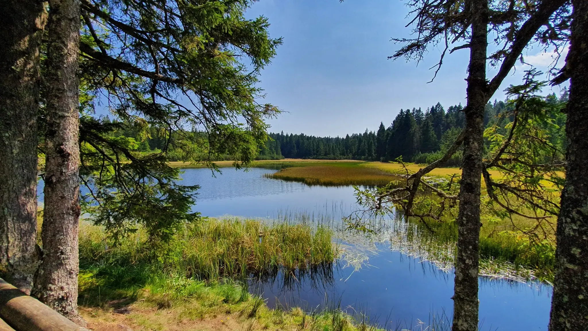
A superb Slovenian hiking adventure: Pohorje–Kozjak Trail
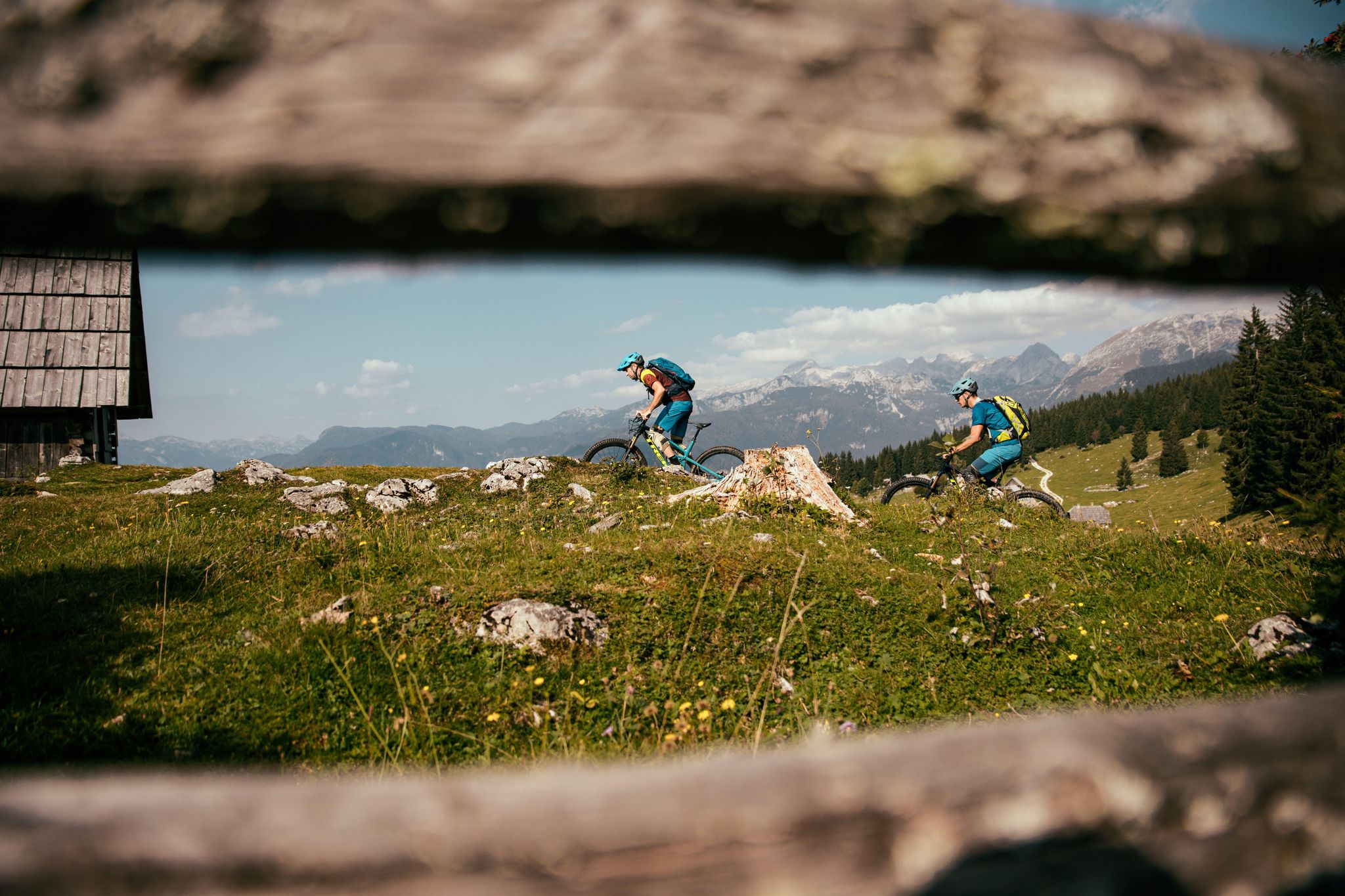
A 1,800 km MTB adventure – the Slovenian mountainbike route (STKP)
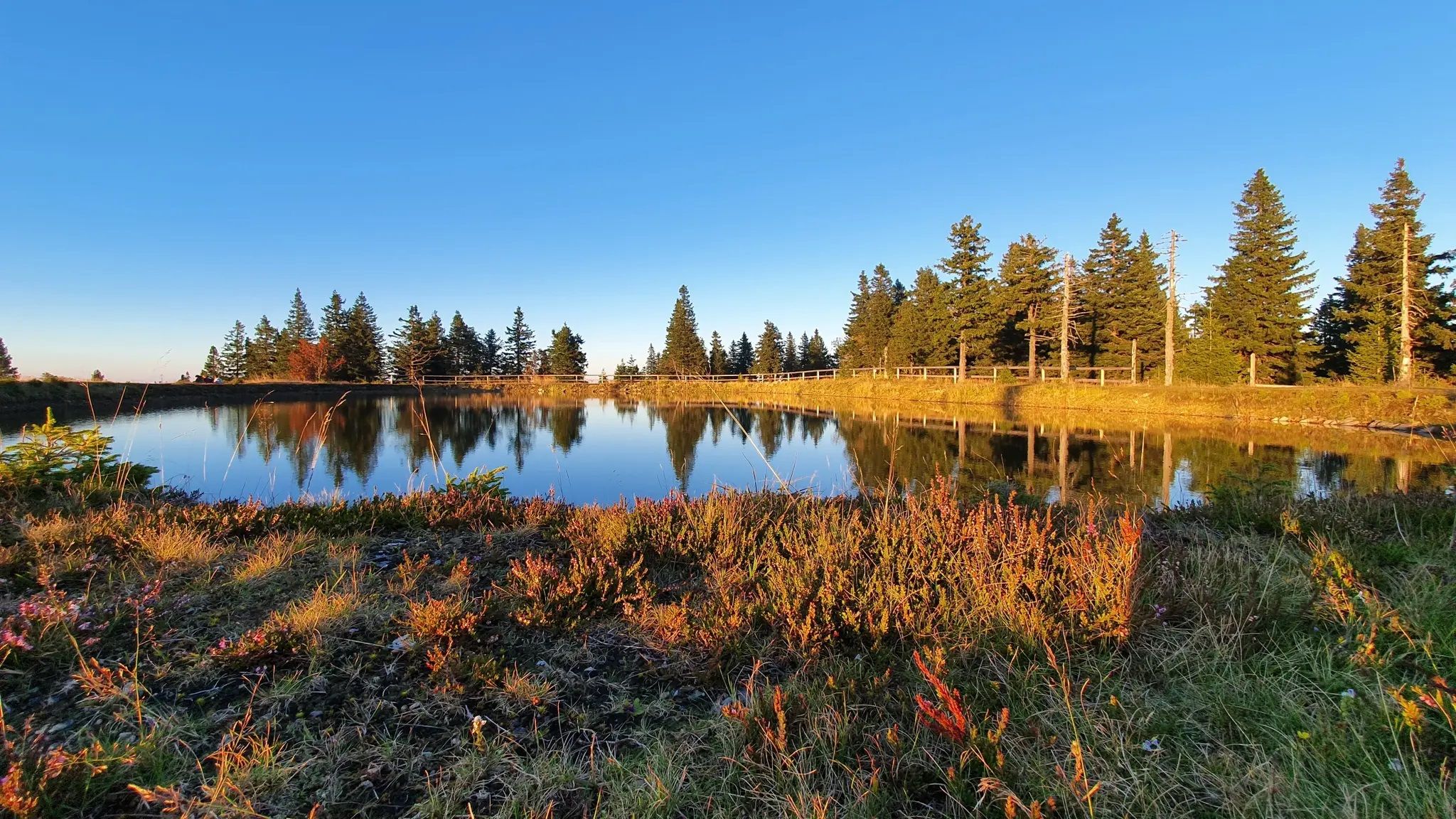
Pure nature – on the Slovenian Mountain Trail
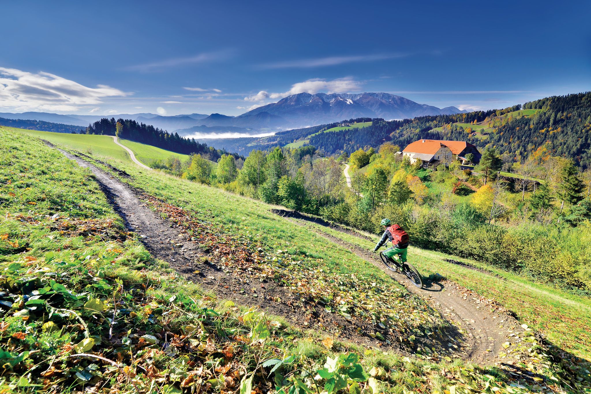
Deep below ground and close to the sky - mountain biking in Koroška
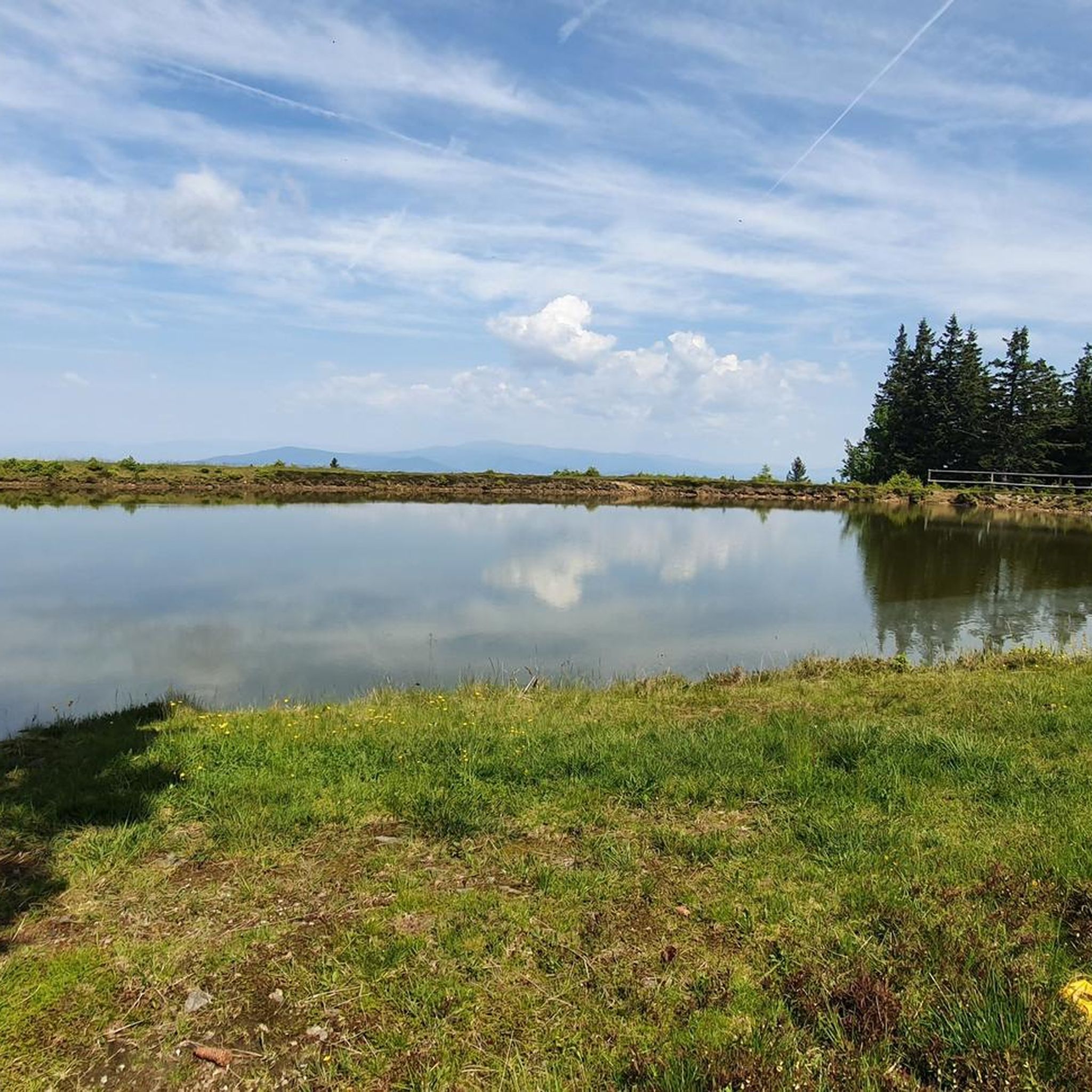
Hiking around Ribnica Na Pohorju
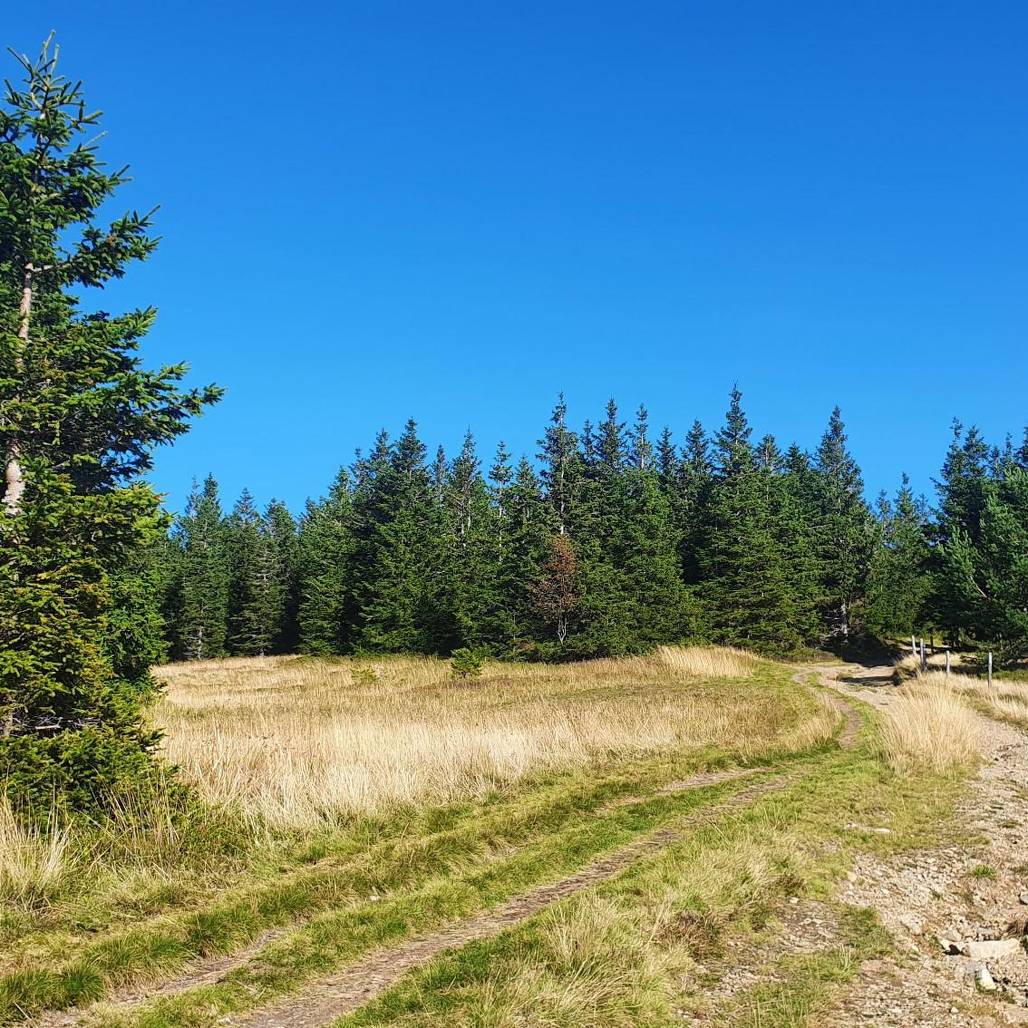
Road Cycling Routes around Ribnica Na Pohorju
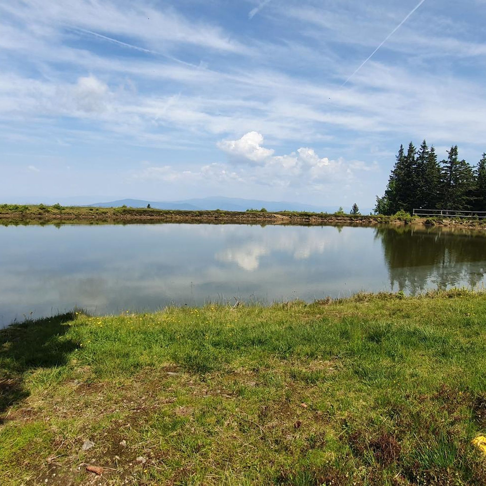
Cycling around Ribnica Na Pohorju
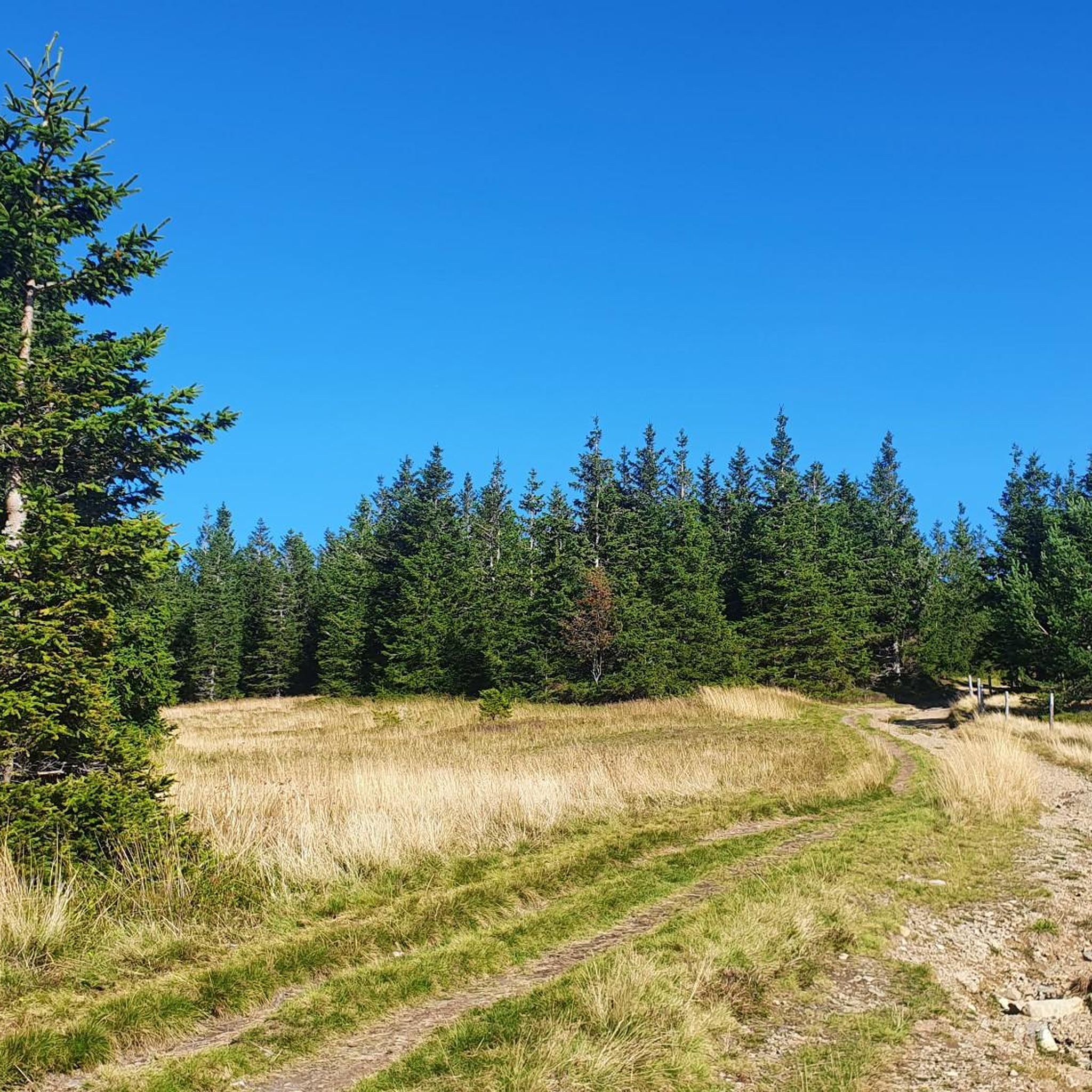
MTB Trails around Ribnica Na Pohorju
Gravel biking around Ribnica Na Pohorju
Other adventures around Ribnica Na Pohorju


Tips from the Community

At the chapel you can ring two bells.
0
0
Delicious strudel and charging stations for e-bikes.
0
0

A mountain hut with excellent strudel
0
0

The mountain hut is located at an altitude of 1,102 meters on the southwestern side of Kremžarjev vrh. It is the westernmost mountain hut in the Pohorje Mountains. Very close to the hut you will find a clearing from which you can enjoy wide views of the Košenjak mountain range. The hut awaits you with regional cuisine and sleeping places. You can find all the information here: https://www.koroska.si/de/bergh252tte-unter-der-bergspitze-krem%C5%BEarjev-vrh
1
0
The town of Slovenj Gradec (German: Windischgrätz) is located in the lower valley of the Mislinja. It is the end and starting point of the Slovenian Mountain Trail. Accordingly, you will find everything you need before or after a multi-day tour in the town.
0
0

The hut is located on the southwest side of Kremžarjev vrh (1164 m). It is the westernmost mountain outpost in Pohorje. The first hut was built by the Mislinj branch of the SPD in Slovenj Gradac a little higher than the current one on Kernikov vrh and opened on December 8, 1934. The hut was burned down on March 8, 1944 by fighters of the Zidanško brigade, so that it would not be used by the German occupier. After the liberation, PD Slovenj Gradec built a new cottage and opened it on July 4, 1948. View: Towards the east, the forested Kremžarjev vrh obscures the view; on the south and west sides, below us is the Mislinjska dolina with Slovenj Gradec; in the south you can see Paški Kozjak, Graška gora, Posavsko hribovje, Smrekovec, Golte, Menina planina and Savinjske Alps; to the west are Uršlja gora, Raduha, Peca, Strojna and Svinška planina, and in the vicinity above the lower Mislinjska dolina Selovec; to the north we see the lower ridge of Pohorje, which descends towards the Drava Valley, and behind it Košenjak and Golica.
0
0
Slovenj Gradec is the seat of the only municipality in the statistical region of Carinthia and the legal, economic, banking, educational, informational, health, care and transport center of Mislinjska dolina and the wider area of the statistical region of Carinthia. The ancient town in the valley between Pohorje and Uršlja Gora is also a Slovenian synonym for a cultural center, where the rich traditions of the past join hands with a modern pulse. Slovenj Gradac was spared the excessive and, in the sense of being embedded in the old-world landscape image, disproportionate industrial development, such as characterized most Slovenian cities in the 19th and 20th centuries. The rapid development of economic and service opportunities in recent years has therefore happily joined hands with the ancient spiritual tradition and natural resources in the immediate vicinity of the urban center. Historical monuments connect us with the past at every step and easily lull us into a feeling of romantic nostalgia, while at the same time reminding us that we are only the humble but proud successors of a story that began in the distant past. A living connection with the past and the wealth of cultural heritage is the foundation of cultural development and a central feature of local identity even in the times we live in. It is unfolded amid the muted echo of the most famous episode of medieval history, which is embodied in the art treasures of the city's parish church, dedicated in 1251 as the first in the world to the Hungarian princess and Thuringian duchess St. Elizabeth, the protector of the poor and beggars, and a respectful memory of the world-famous composer Hugo Wolf, an unsurpassed master of late romantic soliloquy, who was born in 1860 in a house on the central square of Slovenegra. The artistic tradition of medieval carvers and baroque masters has flowed into the internationally resounding activity of the Gallery of Fine Arts, which in the last four decades, especially with events under the auspices of the United Nations, has established Slovenj Gradec far beyond the borders of its homeland and permanently marked it as a place of peace and international communication. The crown of these efforts is the document with which in 1989 the Secretary General of the World Organization Perez de Cuellar included Slovenj Gradec among the honorary holders of the title of Herald of Peace. But the venerable urban tradition and cosmopolitan openness to the world are only part of the landscape and spiritual atmosphere of the world by Mislinja. The rural hinterland here has preserved its archaic originality and a large part of its ancient primeval beauty. At any time of the year, the alluring and almost unspoiled nature is immersed in a soft, relaxed landscape with forests of overgrown hills, which is only here and there crossed by torrential water from the many sources on the surfaces of Pohorje and Uršlja gora, cutting deep and narrow ravines where the mists creep in until noon, when the sun already warms the meadows and fields in the valley.
1
0
Frequently Asked Questions
How many running routes are available in Ribnica Na Pohorju?
There are 9 dedicated running routes around Ribnica Na Pohorju listed on komoot, offering a variety of experiences from moderate to difficult. These trails allow you to explore the diverse terrain of the Pohorje mountains.
Are there any easy jogging routes suitable for beginners in Ribnica Na Pohorju?
While there are no routes specifically marked as 'easy' in this guide, you can find 3 moderate running routes. The Running loop from Radlje ob Dravi is a moderate 3.7-mile (5.9 km) trail with minimal elevation gain, making it a good option for a relaxed run or for those new to the area.
What kind of natural features or landmarks can I expect to see while running in Ribnica Na Pohorju?
Jogging in Ribnica Na Pohorju offers stunning natural scenery. You'll encounter vast Pohorje forests, high-lying peat bogs, and mountain peaks. Notable landmarks include Črni Vrh (1,543 m), the highest peak of Pohorje, and Velika Kopa (1,542 m), which offer panoramic views. The region is also home to the captivating Ribniško Lake, Central Europe's highest-lying peat bog, accessible via a short trail.
Are there any circular running trails in the Ribnica Na Pohorju area?
Yes, many of the running routes in Ribnica Na Pohorju are circular, allowing you to start and finish at the same point. For example, the Running loop from Radlje ob Dravi is a popular circular option. Another challenging circular route is the Koča pod Kremžarjevim vrhom loop from Vinišnik, which takes you through the dense Pohorje forests.
What is the best time of year to go jogging in Ribnica Na Pohorju?
Ribnica Na Pohorju is suitable for outdoor activities for much of the year. The fresh, clean air and shaded forests make it pleasant during warmer months. For winter running, some trails may be accessible, but conditions can vary, so it's always best to check local weather and trail reports. The region's diverse terrain ensures a refreshing experience in most seasons.
Are there any family-friendly running routes in Ribnica Na Pohorju?
Many trails in Ribniško Pohorje are generally gentle and well-maintained, making them accessible for various fitness levels. While specific 'family-friendly' designations aren't provided, routes with minimal elevation gain, like the Running loop from Radlje ob Dravi, could be suitable for families looking for a relaxed jog. The region's extensive network of paths offers options for different paces and abilities.
What do other runners enjoy most about jogging in Ribnica Na Pohorju?
Runners frequently praise the pristine natural environment, characterized by extensive forests, picturesque lakes, and mountain peaks offering breathtaking views. The abundance of well-maintained and varied trails ensures that joggers can find routes suited to their preferences and fitness levels, promising both physical activity and immersion in nature. The peaceful atmosphere and clean air are also highly valued.
Where can I find parking or public transport access for running trails in Ribnica Na Pohorju?
While specific parking details for each route are not provided in this guide, many trails are accessible from Ribnica itself or nearby villages. The region is generally user-friendly, with well-marked trails. For more detailed information on local transport and parking options, it's advisable to consult local tourism resources like visitribnica.com before your visit.
Are there any challenging running routes for experienced runners?
Yes, Ribnica Na Pohorju offers several challenging routes for experienced runners. For instance, the Kremžarjev vrh – Koča pod Kremžarjevim vrhom loop from Slovenj Gradec is a difficult 5.4-mile (8.6 km) path with significant elevation changes through forested areas. Another demanding option is the Kremžarjev vrh – Koča pod Kremžarjevim vrhom loop from Šmartno pri Slovenj Gradcu, which covers over 9 miles (15 km) with substantial climbs.
Can I find places to rest or get refreshments along the running routes?
The region's trails often feature amenities like benches for resting. For refreshments, mountain huts such as Grmovškov Dom below Velika Kopa and Ribniška Koča are located along or near some routes, providing opportunities for a break and a meal. These huts are popular stops for hikers and runners alike.
Are dogs allowed on the running trails in Ribnica Na Pohorju?
The Pohorje mountains and the Ribnica Na Pohorju area are generally welcoming to dogs, as it's a natural environment with many hiking and running trails. However, it's always recommended to keep dogs on a leash, especially in protected areas like the Natura 2000 reserve, and to be mindful of other trail users and wildlife. Always clean up after your pet.
Most popular routes around Ribnica Na Pohorju
Most popular attractions around Ribnica Na Pohorju

Get inspired with the komoot mobile app


Explore more
Browse the best Running Trails & Routes in other regions.
