The best running trails around Vitanje
43
runners
4
runs
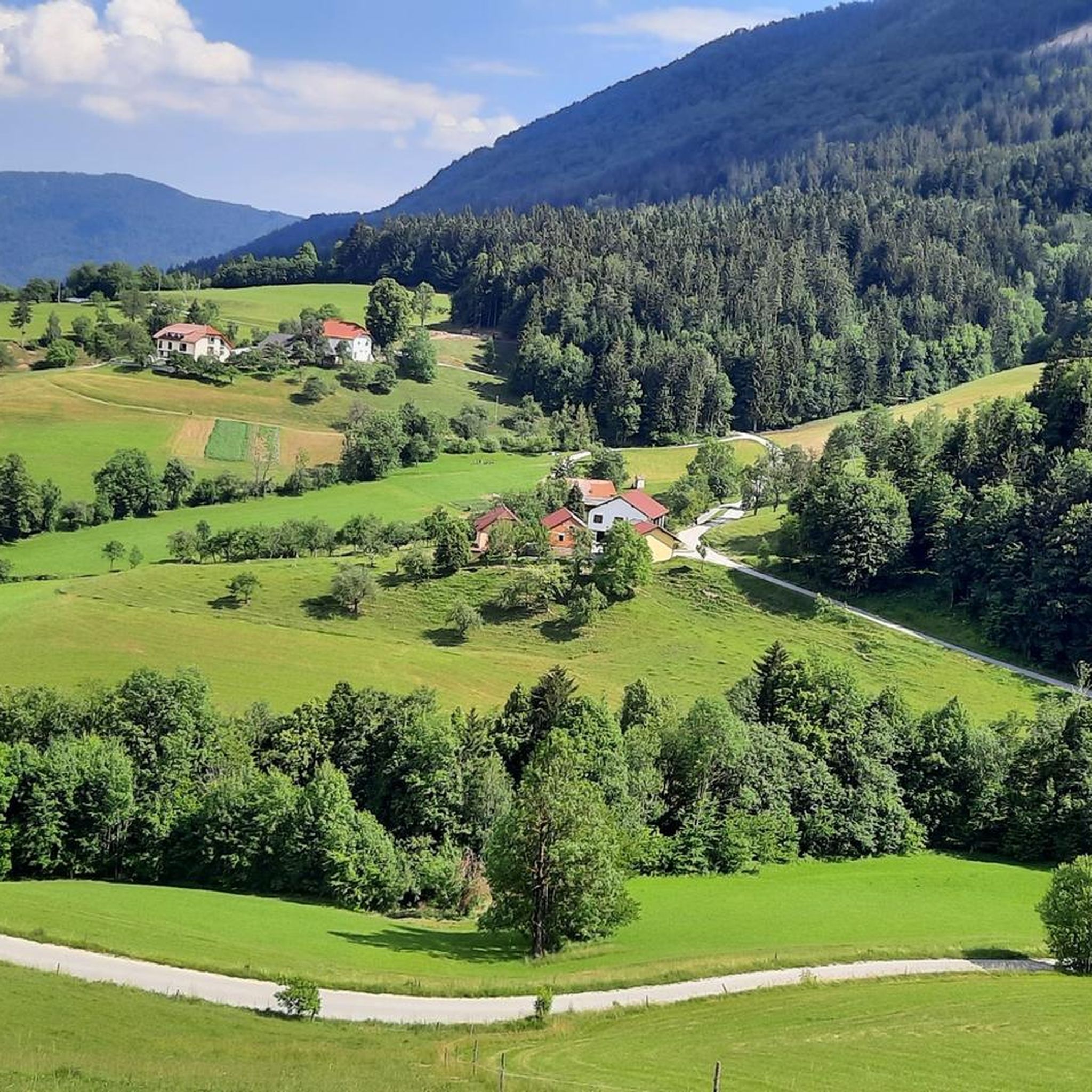
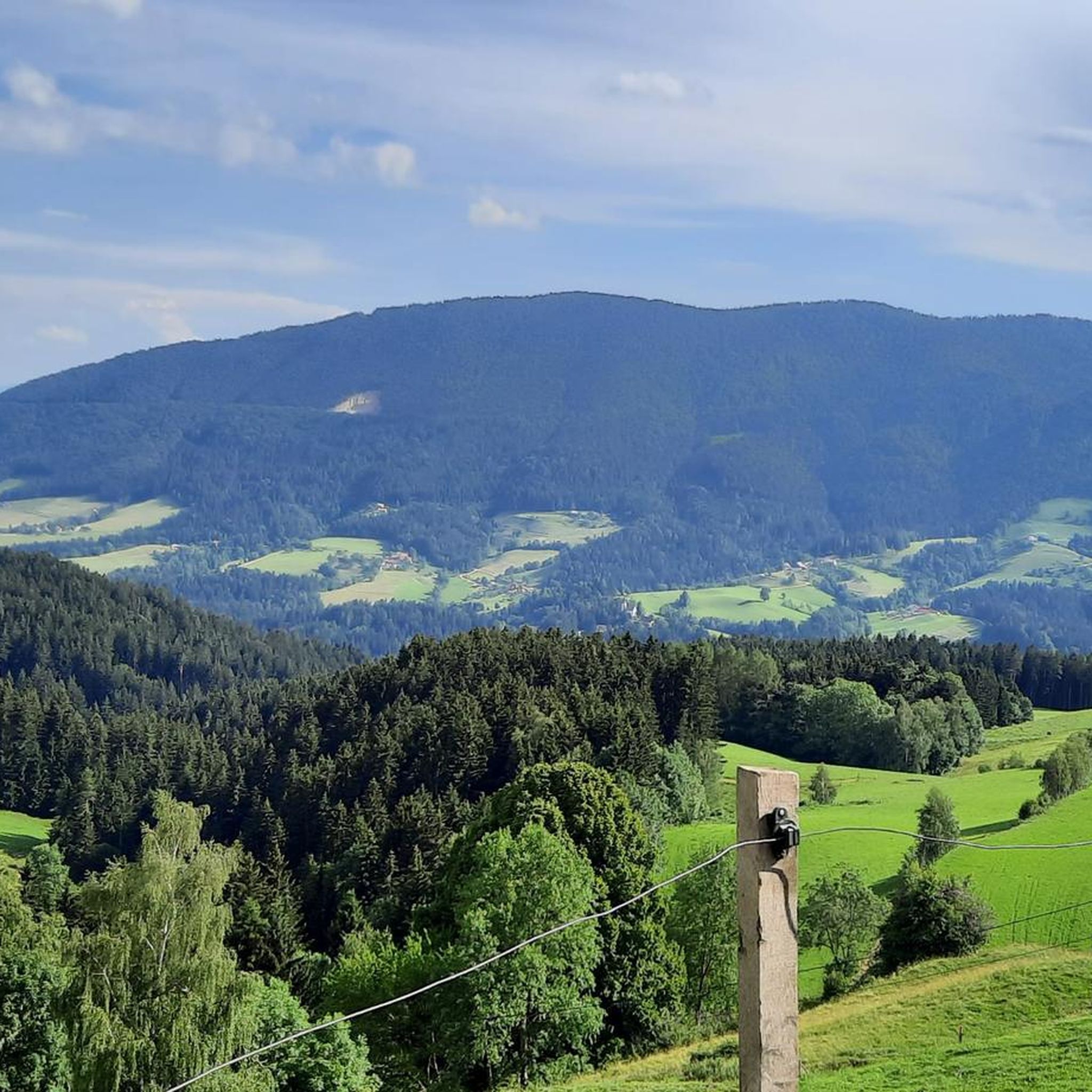
Jogging around Vitanje offers a variety of routes across diverse terrain. The region features a mix of valley paths, trails around lakes, and routes that ascend into the surrounding hills, providing options for different fitness levels. Runners can expect varied landscapes, from open areas to more forested sections, with some routes including notable elevation changes.
Best jogging routes around Vitanje
- The most popular jogging route is Running loop from Vojnik, a 3.0 miles (4.8 km) trail that takes about…
Last updated: July 5, 2026
19
runners
4.89km
00:31
20m
20m
Easy run. Great for any fitness level. Mostly paved surfaces. Suitable for all skill levels.
7
runners
8.44km
00:55
120m
120m
Moderate run. Good fitness required. Mostly paved surfaces. Suitable for all skill levels.

Sign up for free
8
runners
14.7km
02:04
570m
570m
Hard run. Very good fitness required. Mostly paved surfaces. Suitable for all skill levels.
6
runners
26.5km
03:53
1,460m
1,460m
Hard run. Very good fitness required. Mostly paved surfaces. Suitable for all skill levels.
2
runners
10.8km
01:35
580m
580m
Hard run. Very good fitness required. Mostly paved surfaces. Suitable for all skill levels.
1
runners
6.48km
00:59
320m
320m
Hard run. Very good fitness required. Mostly paved surfaces. Suitable for all skill levels.
Our route recommendations are based on thousands of hikes, rides, and runs completed by other people on komoot.
Start today with a free account
Your next adventure awaits.
Login or Signup
Tips from the Community

A very steep and rocky hiking trail leads to the top. In some areas it is necessary to push the bike.
0
0

Stolpnik - the highest peak of many, which stretches along the entire length of the Konjiška gora in the direction from east to west. Top accessible from different sides - a southern approach from the Črešnjica settlement (512m) is described by the municipality Vojnik nad Frankolovim. Start a marked path to the church, to the forest edge, then all the way through the forest, and to the top of approx. 1 hour and 15 minutes walk. At the top, after the ascent to a 25-meter high tower, depending on the weather opens a magnificent view over most of Slovenia with Triglav in the background. Short and beautiful.
1
0
Frequently Asked Questions
How many running routes are available around Vitanje?
Komoot features several running routes in the Vitanje area, offering a variety of experiences. Currently, there are 7 distinct routes documented, ranging from easy jogs to more challenging trails with significant elevation.
Are there any easy running routes suitable for beginners in Vitanje?
Yes, Vitanje offers easy running routes perfect for beginners or those looking for a relaxed jog. A great option is the Running loop from Vojnik, which is 4.8 km (3.0 miles) long and takes about 30 minutes to complete with minimal elevation gain.
What are some moderate running trails around Vitanje?
For runners seeking a moderate challenge, the Velenje loop from Velenje is a popular choice. This 8.4 km (5.2 miles) path includes some elevation gain and explores the area around Velenje. Another good option is the Škalsko jezero loop from Velenje, which is 7.4 km (4.6 miles) long.
Are there any challenging running routes for experienced runners near Vitanje?
Absolutely. Experienced runners can tackle more demanding trails with significant ascents. The Radoje Trail – Ramšakov Vrh loop from Velenje is a challenging 14.7 km (9.1 miles) route with substantial elevation. For an even greater endurance test, consider the Stolpniki Observation Tower loop from Kladenjska gora, which spans over 26 km (16 miles) and features considerable climbing.
Are there circular running routes available in the Vitanje region?
Yes, many of the running routes around Vitanje are designed as loops, allowing you to start and finish at the same point. Examples include the easy Running loop from Vojnik, the moderate Velenje loop from Velenje, and the challenging Stolpniki Observation Tower loop from Brdce.
What kind of terrain can I expect on running trails around Vitanje?
The Vitanje region offers diverse terrain for running. You can expect a mix of valley paths, trails around lakes like Škalsko jezero, and routes that ascend into the surrounding hills. This variety means you'll encounter open areas, forested sections, and paths with notable elevation changes, catering to different preferences.
What do other runners say about the trails in Vitanje?
The running trails around Vitanje are well-regarded by the komoot community. Over 40 runners have used komoot to explore the varied terrain, often praising the mix of landscapes, from serene valley paths to more challenging hill climbs, which provide options for all fitness levels.
Are there any running routes that offer good viewpoints in the Vitanje area?
While specific viewpoints are not detailed for every route, trails that ascend into the surrounding hills, such as the Radoje Trail – Ramšakov Vrh loop from Velenje or the routes leading to the Stolpniki Observation Tower, are likely to offer scenic vistas of the Vitanje landscape and beyond due to their significant elevation gains.
Can I find running routes near Vitanje that are suitable for families?
For families looking for a gentle run or walk, the easier, flatter routes are most suitable. The Running loop from Vojnik, at just under 5 km with minimal elevation, would be a good option for a family outing, allowing everyone to enjoy the outdoors at a comfortable pace.
Are the running trails around Vitanje generally dog-friendly?
Most natural trails in the Vitanje region are generally dog-friendly, but it's always recommended to keep dogs on a leash, especially in agricultural areas or near wildlife. Ensure your dog is fit enough for the chosen route, particularly on longer or more challenging trails with elevation, and always carry water for both yourself and your pet.
What is the best time of year for jogging in Vitanje?
Spring and autumn generally offer the most pleasant conditions for jogging in Vitanje, with milder temperatures and beautiful scenery. Summer can be warm, so early morning or late evening runs are advisable. Winter running is possible, but some higher elevation trails might be affected by snow or ice, requiring appropriate gear.
Are there any running routes that pass by lakes or water features?
Yes, the Vitanje area includes routes that incorporate water features. The Škalsko jezero loop from Velenje is a great example, offering a pleasant run around the lake, providing scenic views and a refreshing environment.
Most popular routes around Vitanje

Get inspired with the komoot mobile app


Explore more
Browse the best Running Trails & Routes in other regions.
