The best walks and hikes around Fuchshofen
4.6
(4912)
19,725
hikers
757
hikes
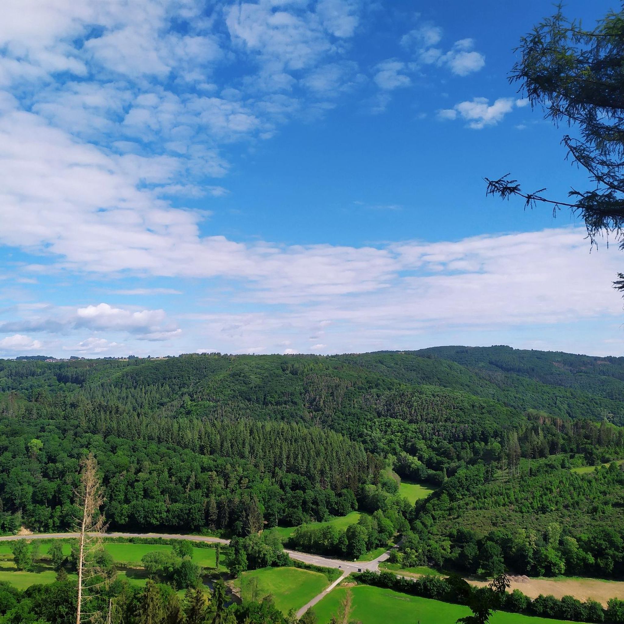
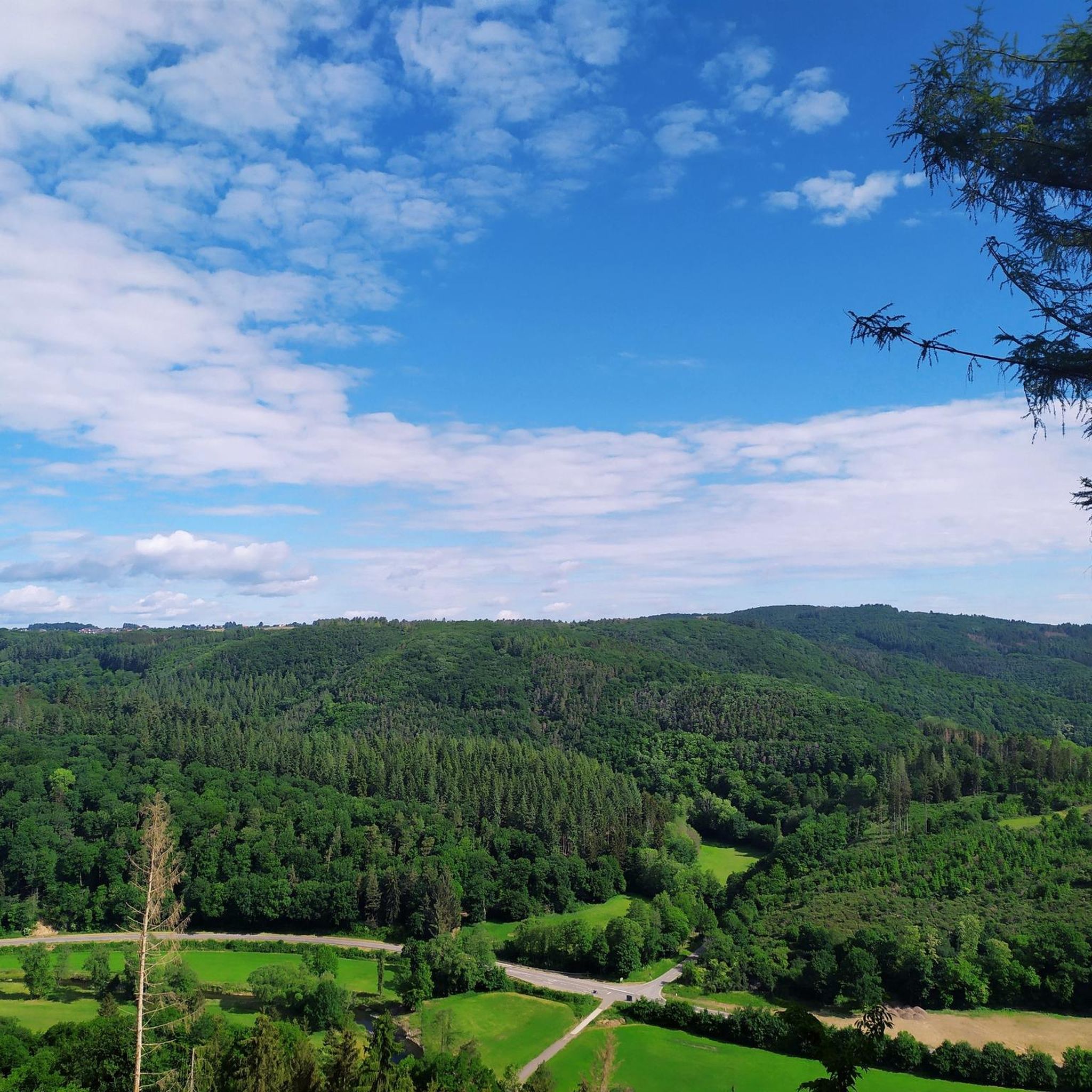
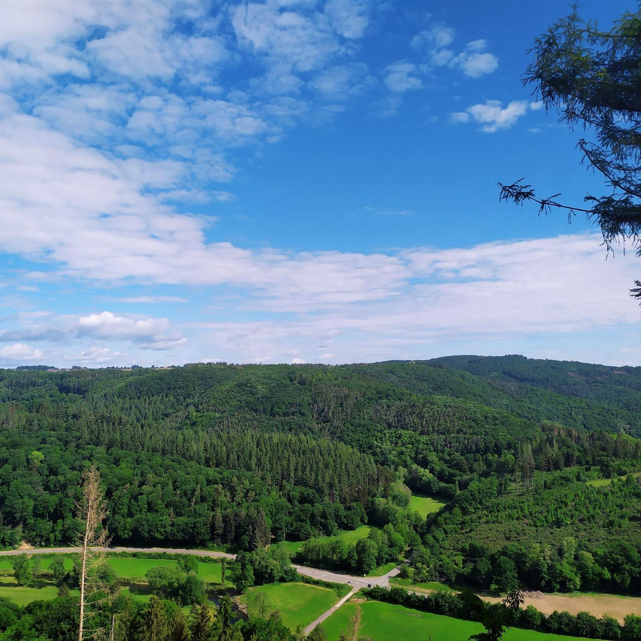
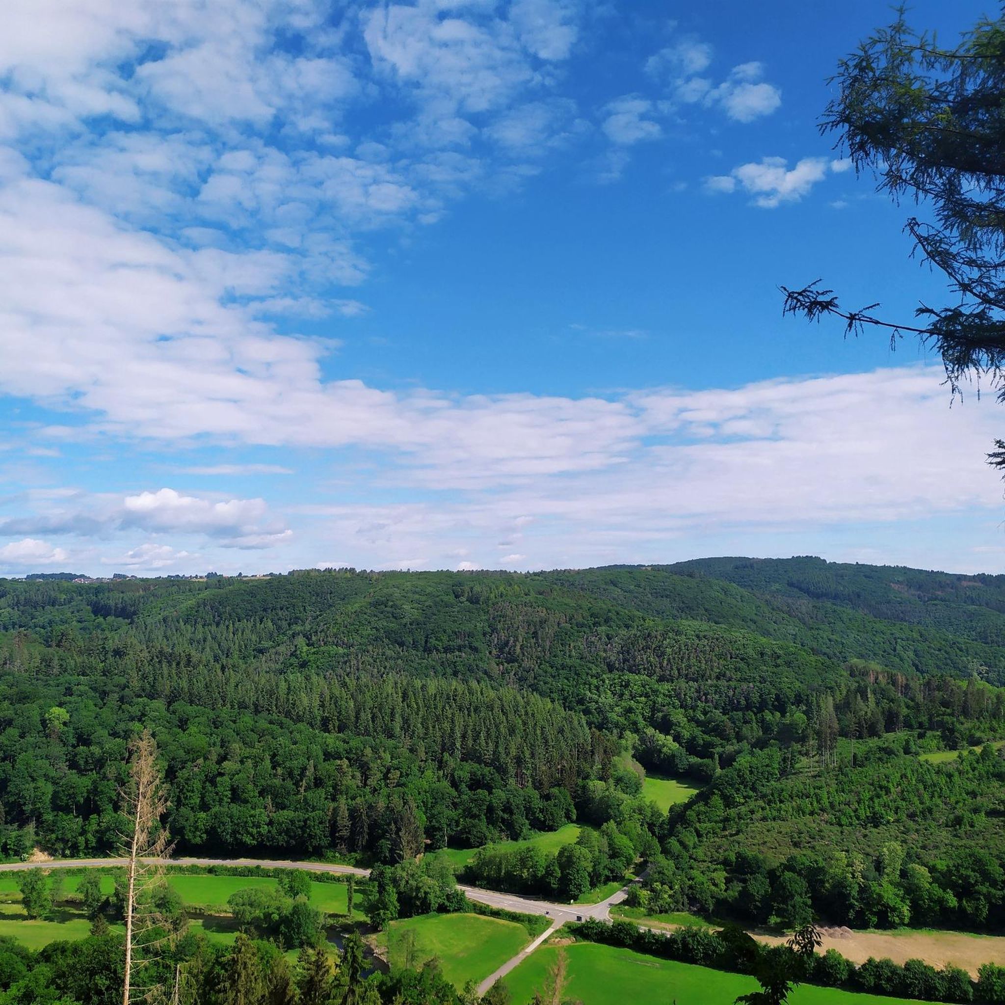
Hiking trails around Fuchshofen are situated within the Eifel region's Upper Ahr Valley, directly on the Ahr River. The landscape is characterized by the Ahr Valley, which features both hillside and riverside paths, and is surrounded by the Eifel mountains. Local routes often lead through forests and ascend to elevated areas, providing views of the valley and surrounding peaks.
Best hiking trails around Fuchshofen
- The most popular hiking route is Mountain trail over the Spicherley – Schorn Chapel, Schuld loop…
Last updated: June 28, 2026
4.6
(32)
107
hikers
Hard hike. Very good fitness required. Sure-footedness, sturdy shoes and alpine experience required.
4.8
(26)
86
hikers
6.79km
01:53
130m
130m
Easy hike. Great for any fitness level. Easily-accessible paths. Suitable for all skill levels.

Sign up for free
5.0
(5)
39
hikers
12.0km
03:56
450m
450m
Hard hike. Good fitness required. Sure-footedness, sturdy shoes and alpine experience required.
4.7
(29)
98
hikers
13.7km
03:56
330m
330m
Moderate hike. Good fitness required. Easily-accessible paths. Suitable for all skill levels.
4.6
(15)
55
hikers
6.97km
01:58
150m
150m
Easy hike. Great for any fitness level. Easily-accessible paths. Suitable for all skill levels.
Get access to more routes and recommendations from other explorers.
Sign up for free
Already have an account?
Our route recommendations are based on thousands of hikes, rides, and runs completed by other people on komoot.
Start today with a free account
Your next adventure awaits.
Login or Signup
Tips from the Community

Nice tour and trade for practicing some altitude meters
0
0

A beautiful, relatively new metal resting set invites us to take a short break. The beautiful view comes free of charge.
2
0
Up here, there is a beautiful panoramic path that repeatedly offers us wonderful views of the surrounding Eifel hills.
2
0
The two benches offer us a beautiful view of the surrounding heights of the Ahreifel.
2
0
It's hard to imagine a more beautiful spot for a lounger. Just pause for a few minutes and enjoy the magnificent panorama.
1
0
You should really take a few minutes here to enjoy the magnificent panoramic view.
0
0
Just take a seat and enjoy the wonderful view.
0
0
From here you have a beautiful view of the village of Fuchshofen in the Ahr Valley.
0
0
Frequently Asked Questions
How many hiking trails are available around Fuchshofen?
There are over 700 hiking trails around Fuchshofen, offering a wide variety of options for all skill levels. The komoot community has explored more than 18,000 of these routes.
Are there easy hiking trails suitable for beginners in Fuchshofen?
Yes, Fuchshofen offers numerous easy hiking trails. For a scenic and less strenuous option, consider the View of the Hürstnück Ridge – Scenic spots loop from Winnerath, an easy 4.2-mile (6.8 km) path that provides beautiful views from the Hürstnück Ridge.
What are the options for more challenging hikes in Fuchshofen?
For experienced hikers seeking a challenge, Fuchshofen has several difficult routes. The Mountain trail over the Spicherley – Schorn Chapel, Schuld loop from Winnerath is a difficult 11.2-mile (18.1 km) trail featuring mountain views and a chapel visit. Another demanding option is the View of Schuld – Mountain trail over the Spicherley loop from Fuchshofen, a 7.5-mile (12.0 km) route through mountain terrain with views of Schuld.
Are there any family-friendly hiking routes in Fuchshofen?
While specific 'family-friendly' routes are not detailed, the region's numerous easy and moderate trails, especially the local circular routes that lead through forests and to elevated areas, can be suitable for families. The diverse landscape of the Ahr Valley offers engaging scenery for children.
Can I bring my dog on the hiking trails in Fuchshofen?
The hiking trails around Fuchshofen, particularly those through forests and along the Ahr River, are generally dog-friendly. Always ensure your dog is under control and check for any local regulations regarding leashes or protected areas.
Are there circular hiking routes available in Fuchshofen?
Yes, Fuchshofen is an excellent starting point for circular hikes. The village itself offers several marked circular routes, ranging from 4 to 8 km, that explore the local forests and elevated areas, providing expansive views of the Ahr Valley and surrounding mountains.
What kind of views or natural attractions can I expect on hikes around Fuchshofen?
Hikes around Fuchshofen offer diverse views, from the picturesque Ahr Valley to the surrounding Eifel mountains. You can enjoy expansive vistas from elevated points. Notable natural attractions include Lake Freilinger, a beautiful oasis for relaxation, and the Teufelsley Quartzite Formation. Many routes also feature viewpoints like the Peace Cross Hühnerberg.
Are there any historical or cultural landmarks to see while hiking?
Yes, the region around Fuchshofen offers several interesting landmarks. You might encounter the St Michael's Chapel on the Michelsberg, a mountain of volcanic origin, or the historic Nürburg Castle. The Kottenborner Chapel – View of Nürburg and Hohe Acht loop from Fuchshofen is a moderate route that offers views of Nürburg.
What is the best time of year to go hiking in Fuchshofen?
Fuchshofen offers hiking opportunities throughout the year. While summer provides pleasant weather for exploring the Ahr Valley and forests, the region's landscapes, including Lake Freilinger, are also described as beautiful in winter, suggesting year-round appeal for outdoor activities.
Is public transport available to reach hiking trailheads in Fuchshofen?
Fuchshofen is nestled in the Upper Ahr Valley. While specific public transport connections to individual trailheads are not detailed, the village's integration into the wider Eifel and Ahr Valley networks suggests that regional bus services might connect to Fuchshofen or nearby communities like Winnerath, where some popular routes begin.
Where can I park my car when hiking in Fuchshofen?
As a starting point for numerous marked hiking trails, Fuchshofen and surrounding communities like Winnerath typically offer designated parking areas for hikers. Look for signs in the village centers or near popular trailheads.
What do other hikers enjoy most about hiking in Fuchshofen?
The area is highly rated by the komoot community, with an average score of 4.6 stars from over 4,400 reviews. Hikers often praise the diverse landscape, including the Ahr Valley's hillside and riverside paths, the surrounding Eifel mountains, and the extensive forests that define the region's routes.
Most popular routes around Fuchshofen
Most popular attractions around Fuchshofen

Get inspired with the komoot mobile app


Explore more
Browse the best Hikes in other regions.
