The 20 Most Amazing Peaks around Sankt Margarethen im Lungau
Mountain peaks around Sankt Margarethen im Lungau are nestled within the mountainous Lungau region of Austria. This area provides access to a variety of impressive peaks, catering to different outdoor activity preferences. The landscape offers panoramic viewpoints, challenging ascents, and family-friendly excursions. It is a destination known for its natural beauty and varied terrain.
Best mountain peaks around Sankt Margarethen im Lungau
- The most popular mountain peaks is Speiereck Summit (2,411 m), a summit known for its fantastic panoramic…
Last updated: July 7, 2026
Speiereck Summit (2,411 m)
Highlight • Summit
Translated by Google •
Tip by

Aineck Reservoir
Highlight • Lake
Translated by Google •
Tip by

Sign up now to discover places like this
Get recommendations on the best single tracks, peaks, & plenty of other exciting outdoor places.
Sign up for free
Kareck Summit Cross
Highlight • Summit
Translated by Google •
Tip by

Blutige Alm Hut
Highlight • Mountain Hut
Translated by Google •
Tip by
Samsonbahn Fanningberg
Highlight • Rest Area
Translated by Google •
Tip by
Sign up for free to discover even more peaks around Sankt Margarethen im Lungau.
Sign up for free
Already have an account?
Start today with a free account
Your next adventure awaits.
Login or Signup
Popular around Sankt Margarethen im Lungau
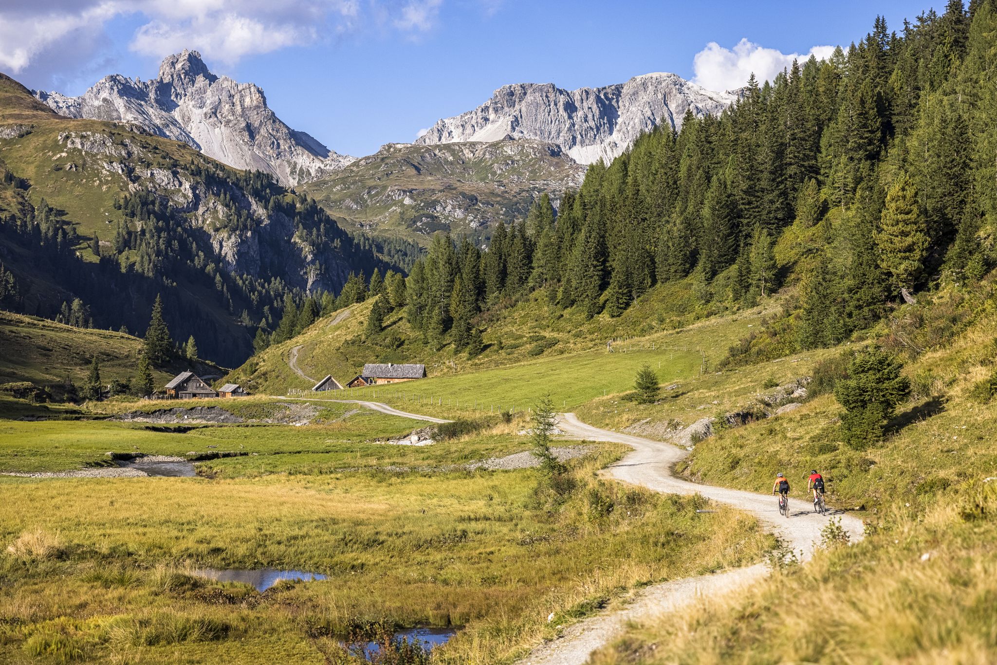
Epic biking – the best MTB routes in Salzburg's Lungau region
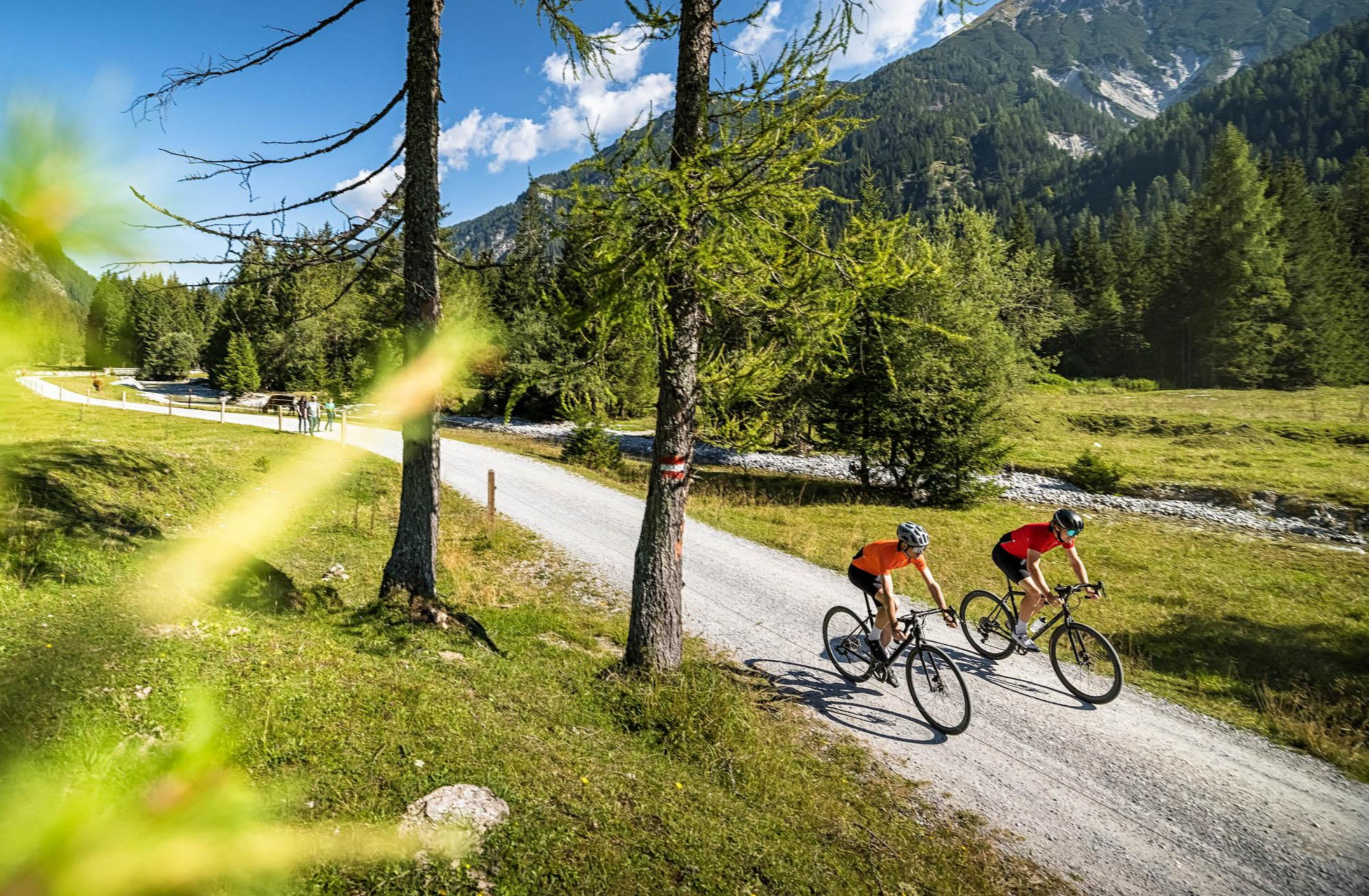
Gravel in mountain and valley — Salzburg Lungau & Flachau
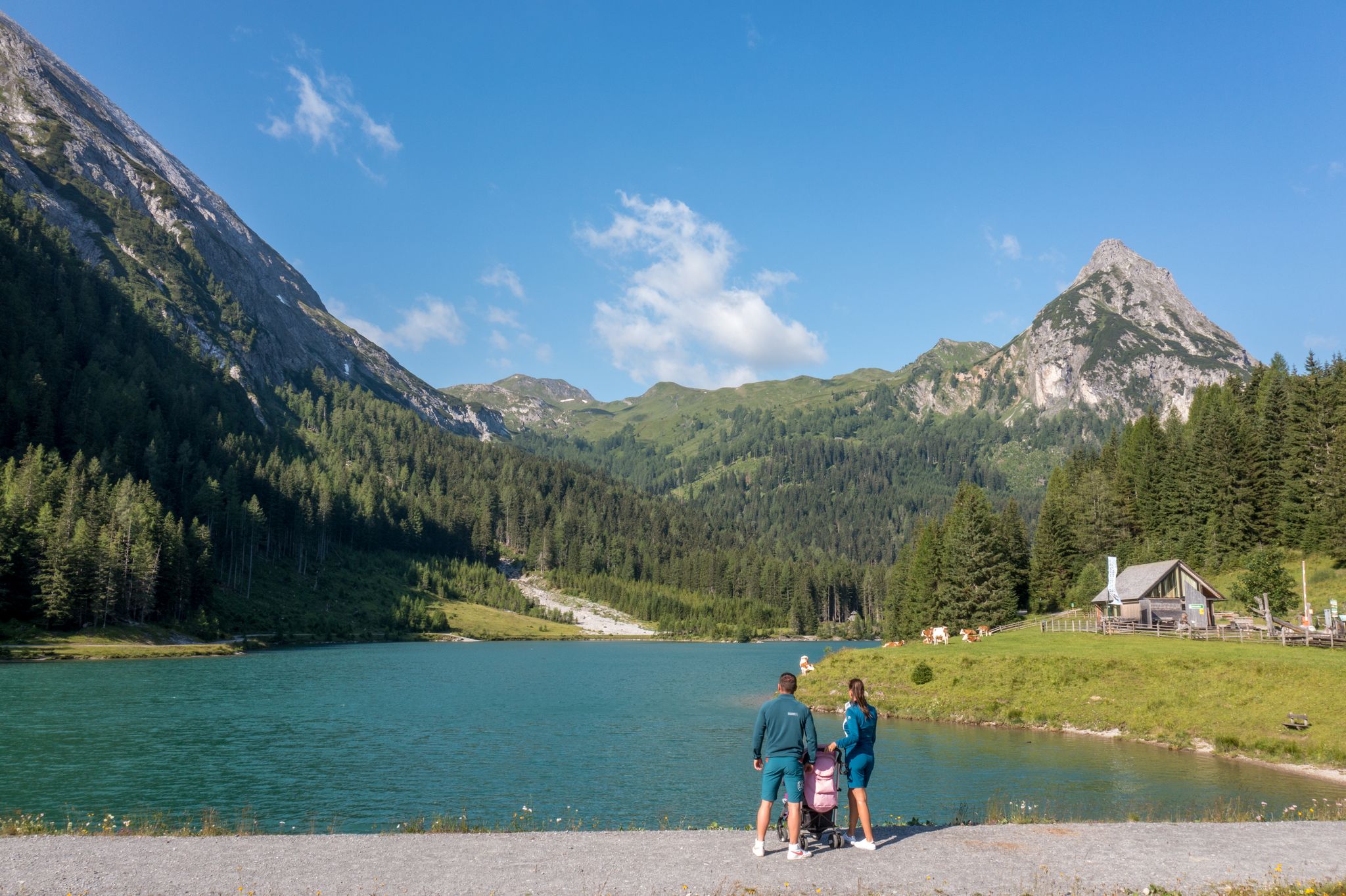
Erlebnisreich wandern - Die 11 schönsten Themenwege im Salzburger Lungau
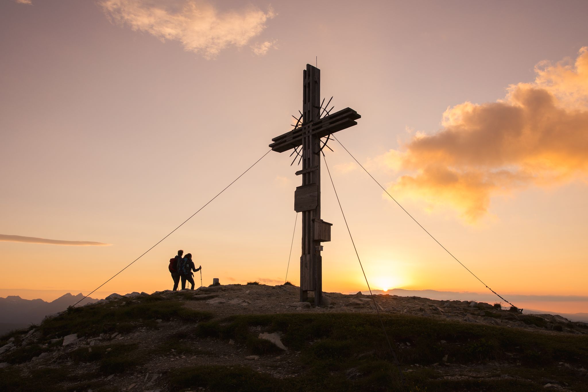
Zwischen Himmel und Erde - Gipfelstürmen im Salzburger Lungau
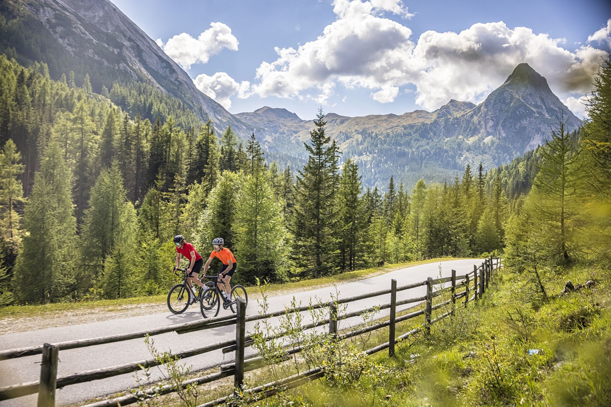
Abenteuer auf zwei Rädern - mit dem Gravelbike durch den Salzburger Lungau
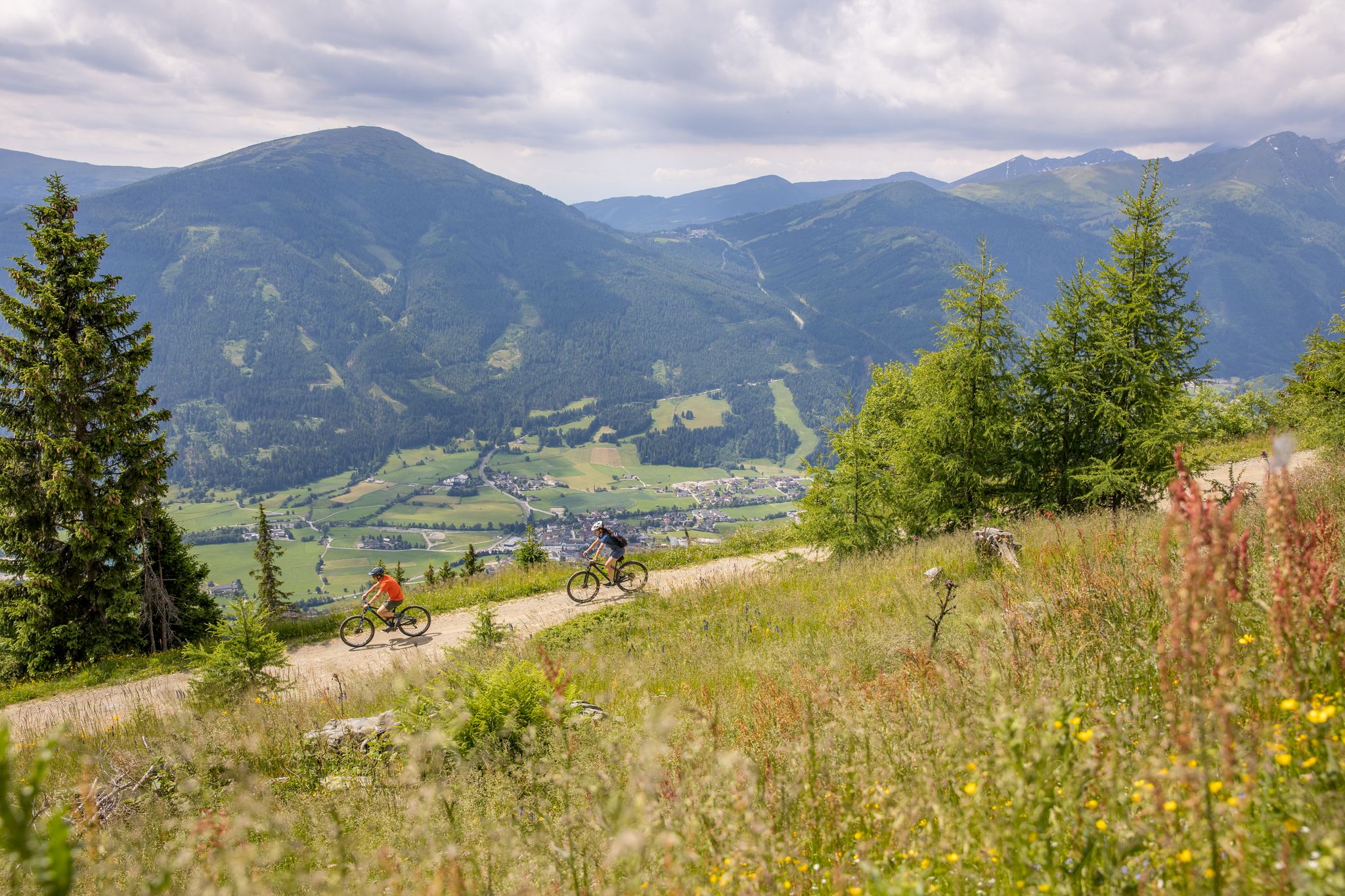
Durch Wälder und Berge - Mit dem Mountainbike durch den Salzburger Lungau
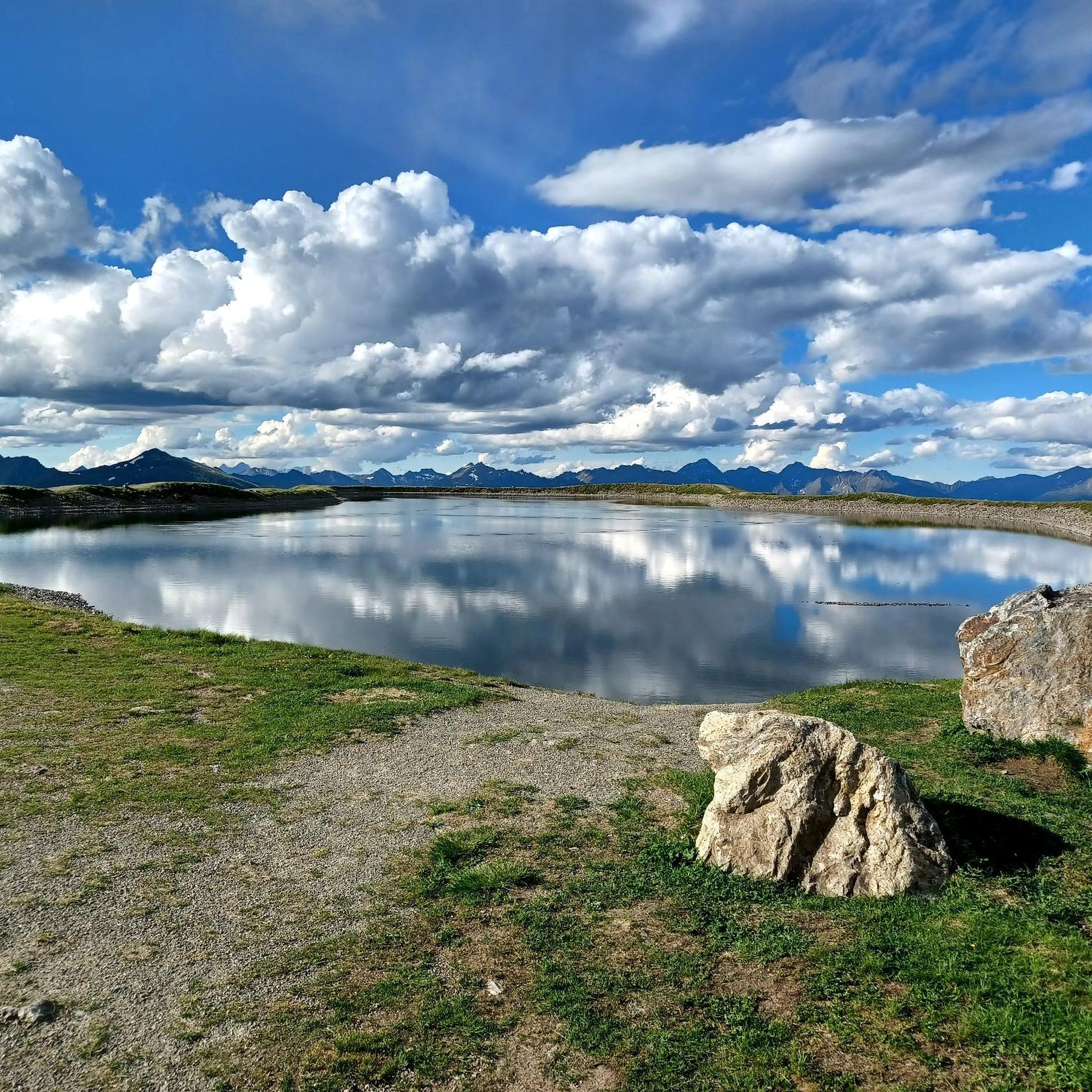
Road Cycling Routes around Sankt Margarethen im Lungau
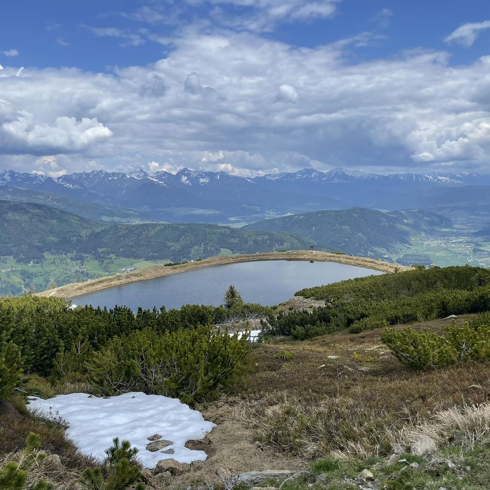
Hiking around Sankt Margarethen im Lungau
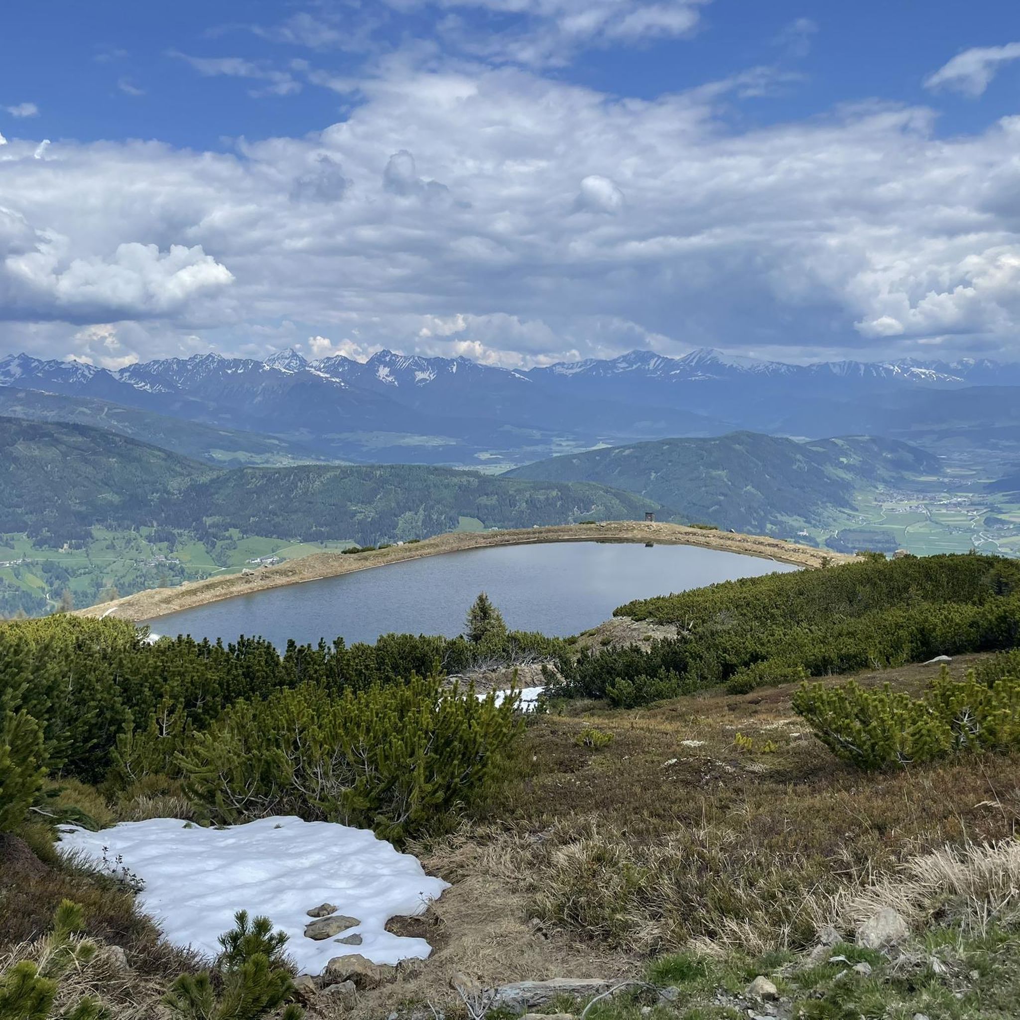
MTB Trails around Sankt Margarethen im Lungau
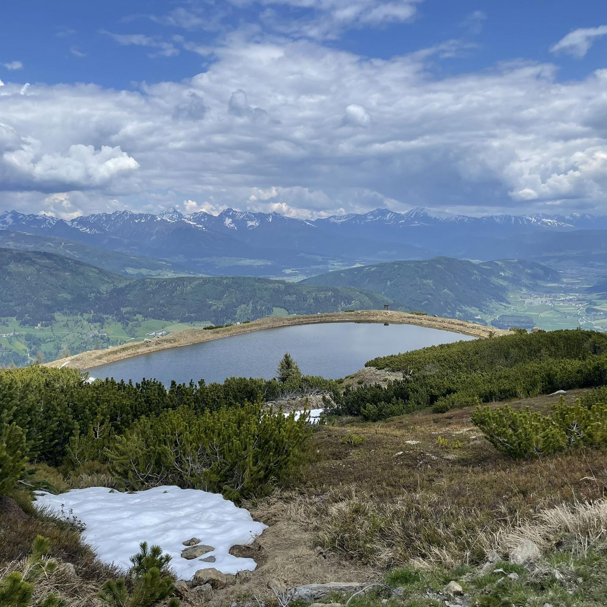
Cycling around Sankt Margarethen im Lungau
Other adventures around Sankt Margarethen im Lungau


Tips from the Community

More information is available here: https://www.lungau.at/de/sommer/sommerbergbahnen/samsonbahn-am-fanningberg
4
0

They are currently under construction, so you can't go to the lake. :(
0
0

Now privately owned with video surveillance, unfortunately there is no longer any hope of a restaurant here
3
0

...a beautiful and promising hike from Katschberg 🥾👀
1
0
...a beautiful hiking area with wonderful views! 🥾👀
2
0

Unfortunately, the bloody alpine hut no longer exists in this form. Shortly before arrival you are faced with a barbed wire fence and a sign that it is privately owned. Nevertheless, a nice tour with a great view!
4
0

Climb from the gondola mountain station over the Großeck and the ridge up to the summit cross. Runs wonderfully. Think about a jacket, because it whistles quite a bit over the ridge. I didn't really like the descent via the ski slope, so I would prefer the descent on skis in winter. We then walked to Mauterndorf along the Naturpur-Weg (old Trogalmweg). Combined with the descent over the ski slope, my calves and thighs burned subtly in the evening🙈
3
0

The Speiereck is a 2411 m high peak. Reachable from the mountain station in about 15 minutes.
3
0
Frequently Asked Questions
Which mountain peaks offer the best panoramic views around Sankt Margarethen im Lungau?
For exceptional panoramic views, the Speiereck Summit (2,411 m) is highly recommended, offering top all-round visibility. Another excellent spot is the Kareck Summit Cross, which provides stunning vistas of the surrounding 3,000-meter peaks. Gstoder (2,140 m) also stands out for its wide, unobstructed views due to its isolated location.
Are there family-friendly mountain hikes available near Sankt Margarethen im Lungau?
Yes, several peaks offer family-friendly options. The Kareck Summit Cross is known for routes through alpine meadows and flower-filled areas that are manageable for families. Even the Speiereck Summit, despite its height, has family-friendly routes. Gstoder is also described as a beautiful and family-friendly alpine tour.
What are the most challenging mountain peaks for experienced hikers in the Lungau region?
For experienced mountaineers, Großer Hafner (3,076 m) is the highest mountain in the Lungau region and requires alpine experience and surefootedness due to its rugged formations and glacial cirques. Hochgolling (2,862 m), the highest peak of the Lower Tauern range, also offers an alpine trail with some easy climbing sections secured with iron clamps, suitable for experienced individuals.
Can I access any mountain peaks via gondola or lift for an easier ascent?
Yes, the Speiereck Summit (2,411 m) is part of a popular ski area and can be accessed via gondola, providing a more convenient way to reach higher elevations and enjoy the views without a full ascent. The Aineck mountain is also part of a ski area with lift access.
What natural features can I expect to see on mountain hikes around Sankt Margarethen im Lungau?
You can encounter diverse natural features, from coniferous forests and alpine meadows with wildflowers on Großer Hafner to the Aineck Reservoir, a lake that serves as a starting point for various hikes. Many routes feature scenic alpine meadows with cows and flower-filled areas, especially on the way to the Kareck Summit Cross.
What outdoor activities are available near these mountain peaks, besides hiking?
Beyond hiking, the region offers a variety of outdoor activities. In winter, Speiereck and Aineck are popular for skiing, freeriding, snowboarding, snowshoe hikes, and moonlight ski tours. You can also find cycling routes, such as those detailed in the Cycling around Sankt Margarethen im Lungau guide, and various mountain hikes in the Mountain Hikes around Sankt Margarethen im Lungau guide.
Are there any huts or places for refreshments on the mountain trails?
Yes, along some routes, you can find managed huts. For example, on the hike to Gstoder, the Dorferhütte offers a place to rest and refresh. The Speiereck area also has numerous huts for refreshments, especially during the winter season.
What is the best time to visit Sankt Margarethen im Lungau for mountain hiking?
The Lungau region is a year-round destination, with each season offering a unique perspective. Spring brings vibrant blooms in alpine meadows, while summer is ideal for hiking. Autumn provides beautiful colors, and winter transforms the landscape for ski touring and snowshoeing. The best time depends on your preferred activity and conditions.
Are there easy hiking trails around the mountain peaks for beginners?
Yes, there are easy hiking options. For instance, the Easy hikes around Sankt Margarethen im Lungau guide lists routes like the Aineck Reservoir – Teuerlnock Summit loop, which is rated as easy. These trails are suitable for those looking for less strenuous walks.
What do visitors particularly enjoy about the mountain peaks in this region?
Visitors frequently praise the fantastic panoramic views, especially from spots like Speiereck Summit and Kareck Summit Cross. The diverse experiences, from challenging alpine ascents to family-friendly walks through flower-filled alpine meadows, are also highly appreciated. The region's natural beauty and varied terrain receive many positive comments.
Are there any specific routes recommended for a moderate hike with good views?
For a moderate hike with panoramic views, consider the Aineck Summit loop. This route offers scenic vistas and is described as a moderate path. Another moderate option is the Aineck Summit loop from Katschberg, which is approximately 6.6 km long.
What should I pack for hiking in the Lungau Alps?
Even in midsummer, it's advisable to carry a jacket due to changing mountain weather. Always bring enough water, especially for longer hikes. Depending on the difficulty and terrain, sturdy hiking boots, appropriate layers, sun protection, and navigation tools are essential. For challenging alpine routes, ensure you have suitable alpine gear.
Most popular routes around Sankt Margarethen im Lungau
Most popular attractions around Sankt Margarethen im Lungau

Get inspired with the komoot mobile app


Explore more
See even more amazing summits around Sankt Margarethen im Lungau with these guides:
