The best walks and hikes around Fronhausen
4.6
(6731)
24,085
hikers
55
hikes
Hiking around Fronhausen is characterized by the scenic Lahn Valley, featuring riverbanks and rolling hills, alongside expansive green meadows. The nearby Burgwald Forest provides varied terrain and panoramic views across the Lahn valley. The region also includes the tranquil Salzbödetal and Mittlau valley, offering a mix of leisurely strolls and more challenging routes.
Best hiking trails around Fronhausen
- The most popular hiking route is Café Schönemühle – Weir of the Salzböde loop from Fronhausen, a 6.0 miles (9.6 km)…
Last updated: July 5, 2026
4.8
(9)
69
hikers
9.59km
02:42
200m
200m
Moderate hike. Good fitness required. Easily-accessible paths. Suitable for all skill levels.
5.0
(8)
21
hikers
2.66km
00:43
30m
30m
Easy hike. Great for any fitness level. Easily-accessible paths. Suitable for all skill levels.

Sign up for free
4.7
(26)
51
hikers
8.08km
02:06
50m
50m
Moderate hike. Good fitness required. Easily-accessible paths. Suitable for all skill levels.
4.9
(14)
29
hikers
13.9km
03:44
180m
180m
Moderate hike. Good fitness required. Easily-accessible paths. Suitable for all skill levels.
4.6
(8)
28
hikers
10.5km
02:51
160m
160m
Moderate hike. Good fitness required. Easily-accessible paths. Suitable for all skill levels.
Get access to more routes and recommendations from other explorers.
Sign up for free
Already have an account?
Our route recommendations are based on thousands of hikes, rides, and runs completed by other people on komoot.
Start today with a free account
Your next adventure awaits.
Login or Signup

Other adventures around Fronhausen

Tips from the Community

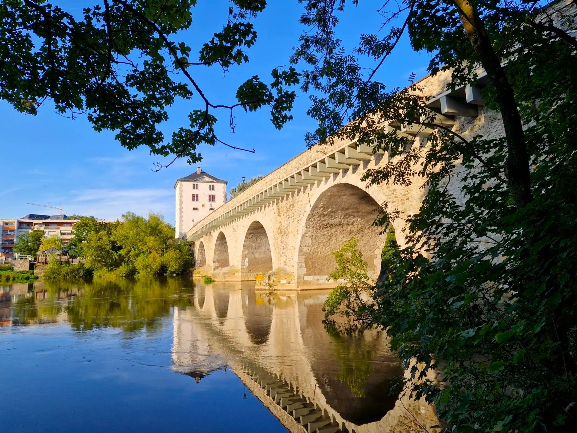
The Torturm was part of the city wall built around 1400. The tower features not only a clockwork mechanism but also four protected bells from the 15th and 16th centuries, thus serving not only as a city gate but also as a bell tower. https://www.giessener-lahntaeler.de/entdecken-erleben/orte-regionen/staufenberg/pois/RPT/c8b6e8f1-052e-4c61-82ab-0042cc6dae54/torturm-der-stadtbefestigung-staufenberg Torturm der Stadtbefestigung Staufenberg
3
0

Great route, scenically magnificent.
0
0
You can also see the church from the meadow path
1
0
Beautiful old two-arch bridge over the Salzböde
1
0
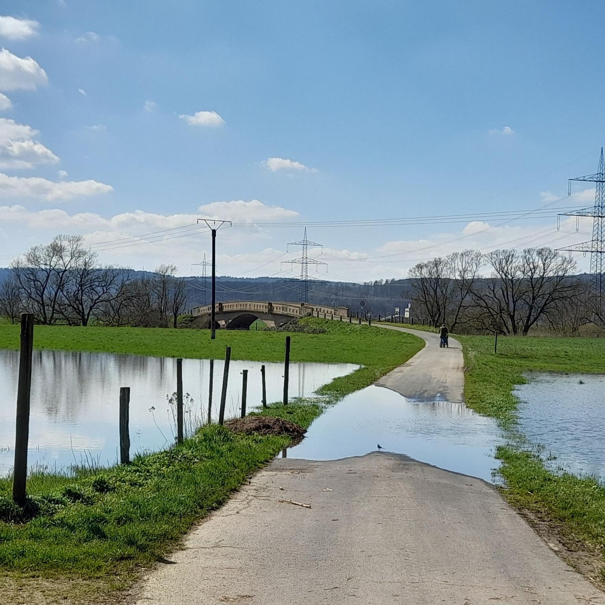
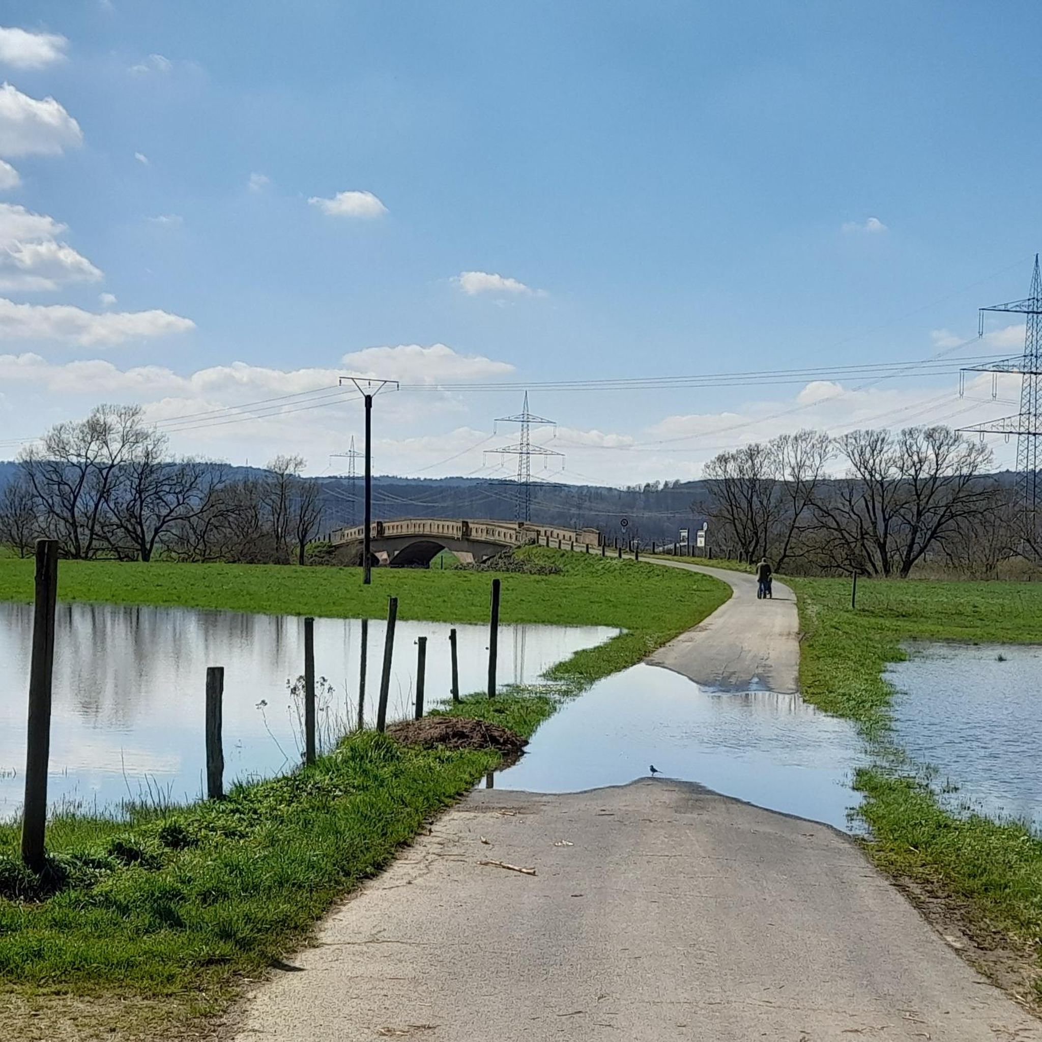
An interesting spot at slightly higher water levels
1
0
Small pond with a bench, not far from the edge of town.
1
0

Beautiful cycle path in a quiet, atmospheric forest.
0
0
Frequently Asked Questions
What types of landscapes can I expect to see while hiking around Fronhausen?
Hiking around Fronhausen offers a diverse range of landscapes. You'll primarily experience the picturesque Lahn Valley with its riverbanks, rolling hills, and expansive green meadows. The nearby Burgwald Forest provides varied terrain and breathtaking panoramic views, sometimes extending as far as Marburg. Trails often feature historic half-timbered houses and opportunities to spot local wildlife and wildflowers.
How many hiking trails are available in the Fronhausen area?
There are over 60 hiking routes available around Fronhausen. These trails cater to various skill levels, with approximately 40 easy routes, 19 moderate routes, and a few more challenging options.
Are there family-friendly hiking options in Fronhausen?
Yes, Fronhausen offers several family-friendly hiking options. Many of the easy routes, particularly those along the Lahn riverbanks or around places like the Silbersee (Silver Lake), are suitable for families. The Silbersee itself is a bathing lake nestled between meadows and forests, offering a relaxing environment for walks and play. An easy option is the 1.6-mile (2.6 km) Friedelhausen Castle – Friedelhausen Castle loop from Odenhausen, which takes about 40 minutes to complete.
What are the best seasons for hiking in Fronhausen?
The best seasons for hiking in Fronhausen are spring and autumn. During these times, the landscape is particularly vibrant, with delicate greens in spring and bright reds, oranges, and yellows in autumn. The weather is generally pleasant, making for ideal hiking conditions.
Are there any circular hiking routes in Fronhausen?
Yes, many of the trails around Fronhausen are circular routes, allowing you to start and end at the same point. For example, the Cafe Schönemühle – Weir of the Salzböde loop from Salzböden is a moderate 6.0-mile (9.6 km) trail, and the View from Staufenberg Castle – Friedelhausen Castle loop from Fronhausen is a longer moderate 8.6-mile (13.9 km) option offering scenic views.
What interesting sights or landmarks can I explore along the hiking trails?
Along the hiking trails, you can discover various interesting sights. You might encounter historic half-timbered houses in the villages, or explore the Frauenberg Castle Ruins. For panoramic views, consider visiting the Lahnorama viewing platform. Nature lovers can also seek out the Hinterländer Switzerland – Rock Formations or the Wieseckaue Nature Reserve.
What do other hikers say about the trails in Fronhausen?
The routes in Fronhausen are highly rated by the komoot community, with an average score of 4.7 stars from over 150 reviews. Hikers often praise the varied terrain, from easy riverside paths to moderate climbs, and the beautiful natural scenery of the Lahn Valley and Burgwald Forest.
Are there any trails that offer views of castles or historical sites?
Yes, several trails offer views of castles and historical sites. The View from Staufenberg Castle – Friedelhausen Castle loop from Fronhausen provides excellent views from Staufenberg Castle across meadows and forests. You can also find trails that pass by the Frauenberg Castle Ruins or historical elements like the site of the Post Robbery at the Subach.
Can I find trails that follow the Lahn River?
Absolutely. Fronhausen is a key point along the Lahnwanderweg (Lahn Hiking Trail), a long-distance route. Many local trails offer leisurely strolls along the Lahn riverbanks, providing scenic views of the water and surrounding landscapes. These paths are generally easy and suitable for a relaxed walk.
Are there any lakes or water features accessible via hiking trails?
Yes, the region around Fronhausen features several lakes and water features. The Silbersee (Silver Lake) is a popular bathing lake nestled between meadows and forests, ideal for walks. Other nearby lakes include the Aquapark at Niederweimarer See, Bütteich Pond, and Elmensee (Elm Lake), which can be points of interest on longer hikes.
What is the longest moderate hike available in Fronhausen?
One of the longer moderate hikes is the View from Staufenberg Castle – Friedelhausen Castle loop from Fronhausen. This route spans 8.6 miles (13.9 km) and offers expansive views across meadows and forests, typically taking around 3 hours and 45 minutes to complete.
Most popular routes around Fronhausen
Most popular attractions around Fronhausen

Get inspired with the komoot mobile app


Explore more
Browse the best Hikes in other regions.
