The best road cycling routes around Friolzheim
4.5
(710)
9,472
riders
198
rides
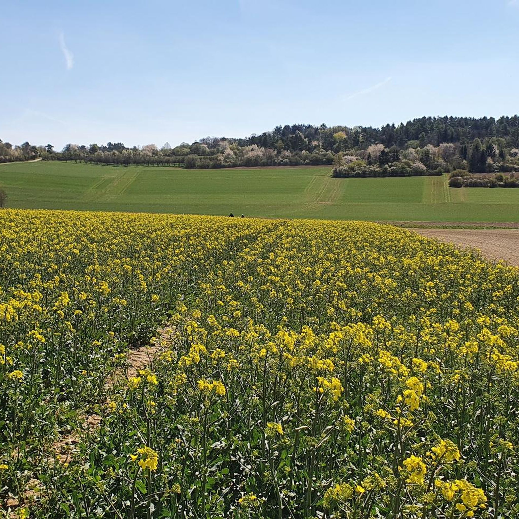
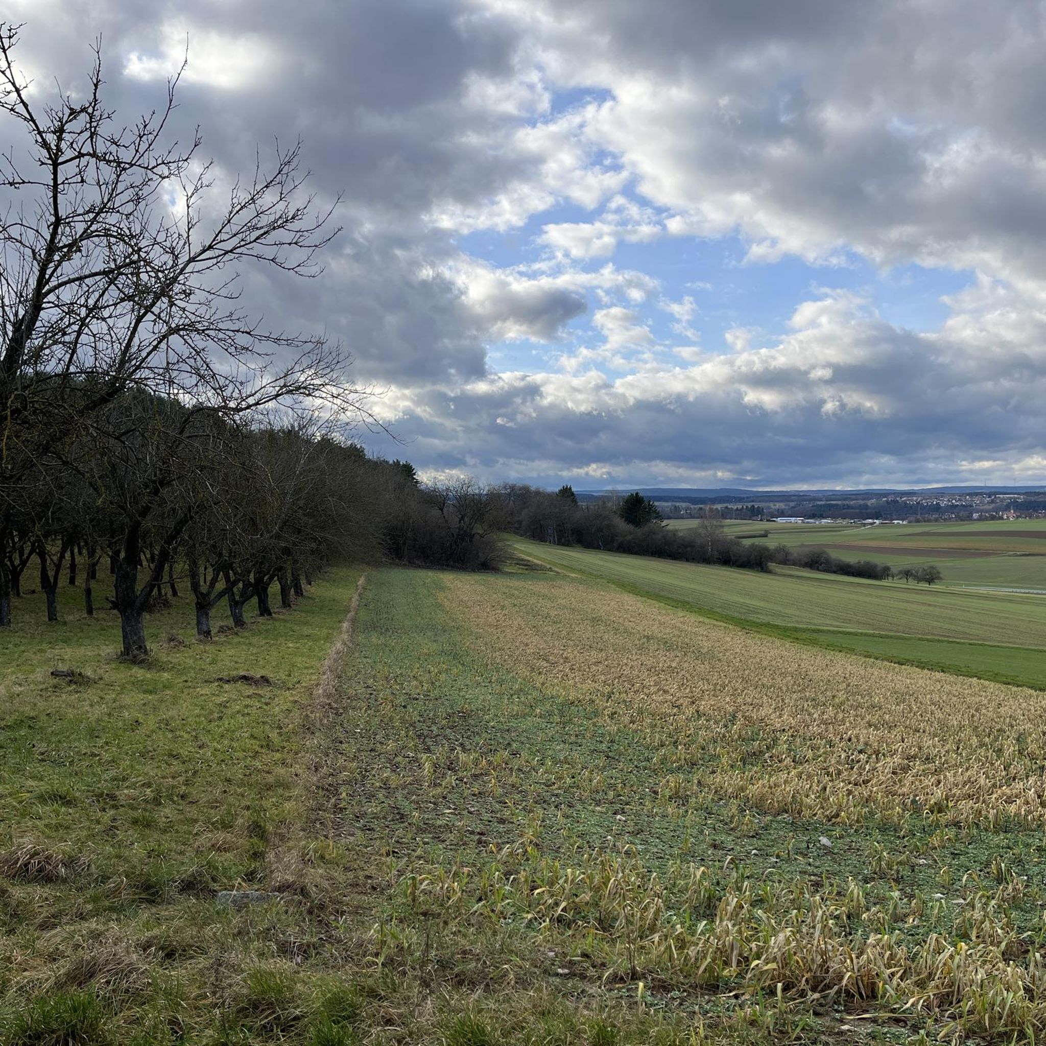
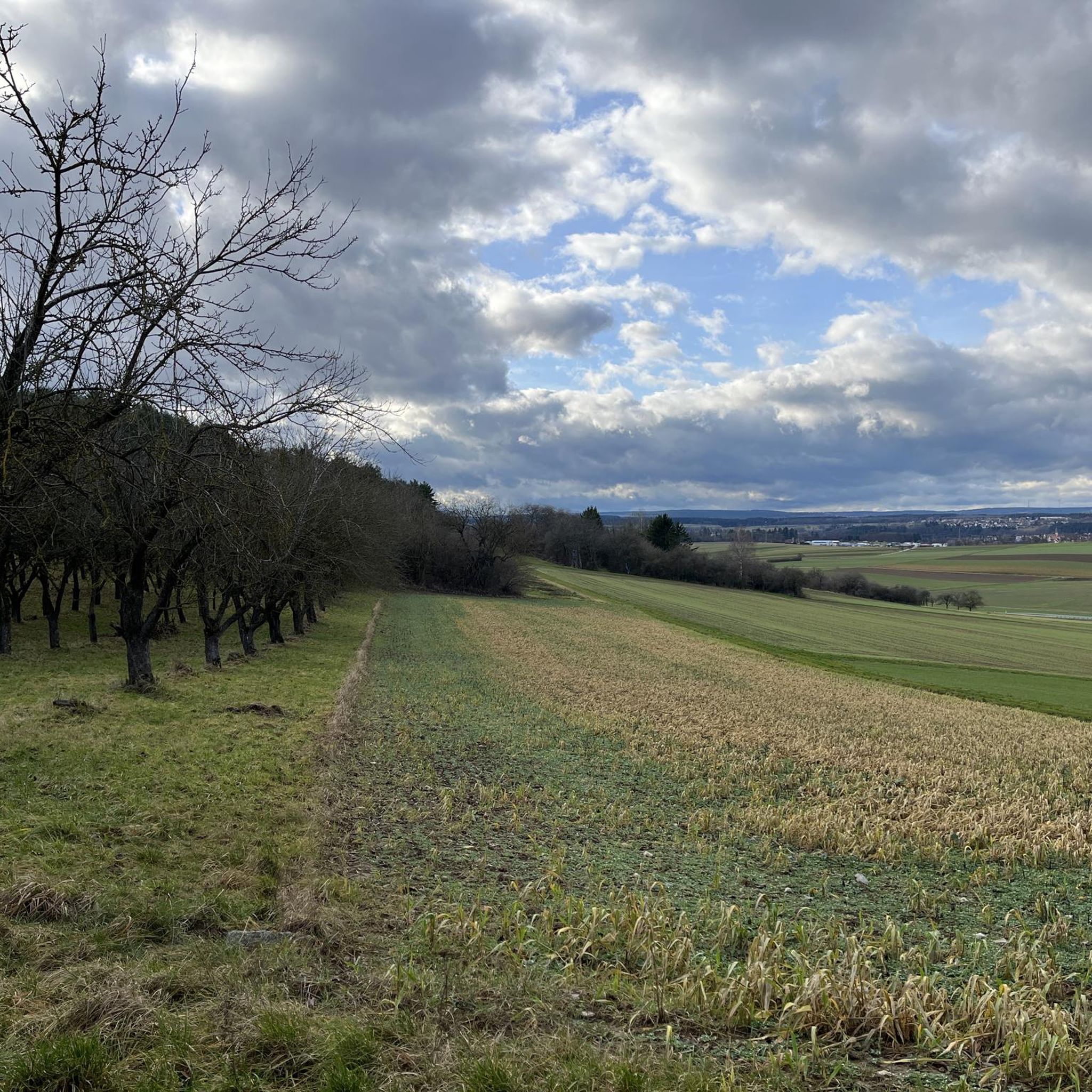
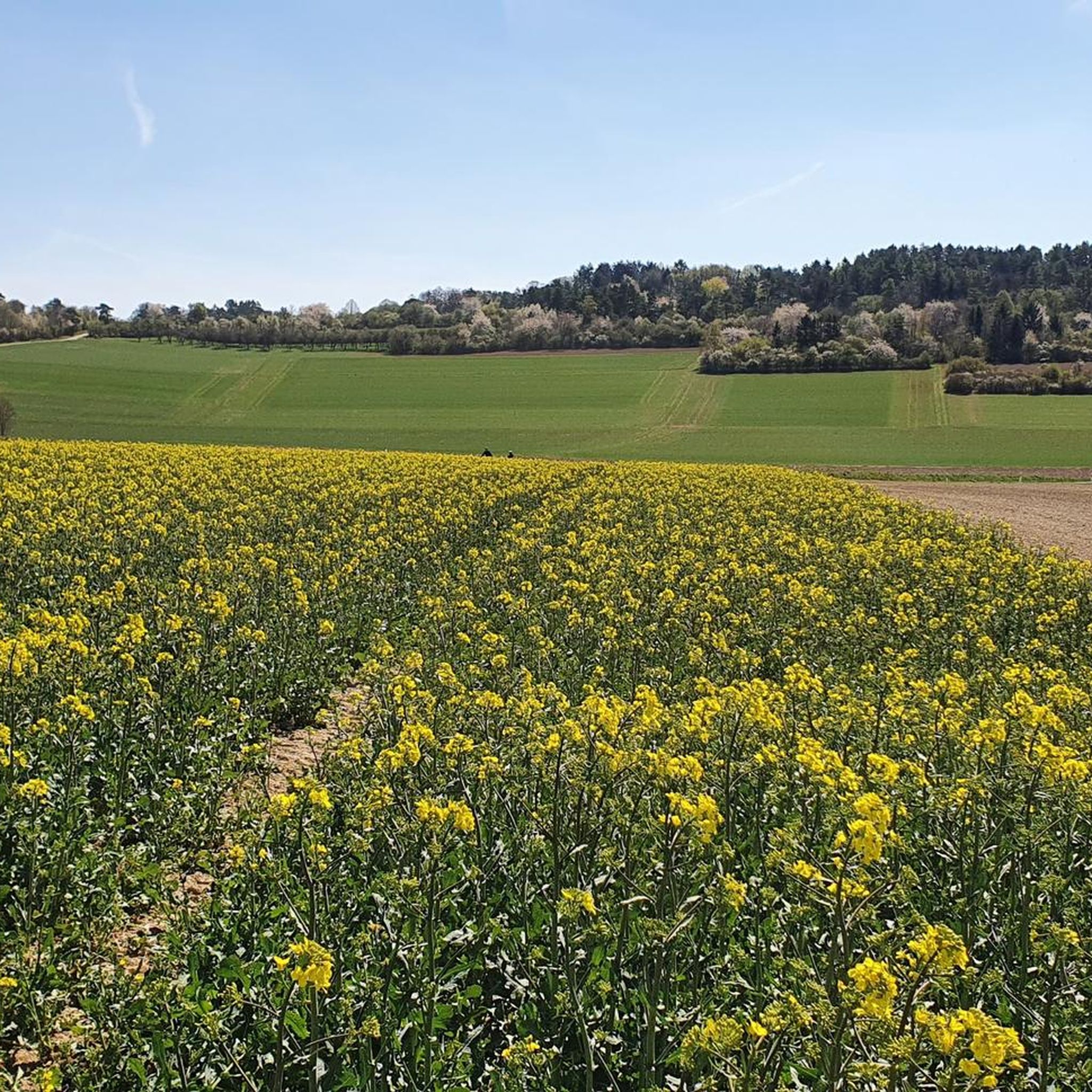
Road cycling routes around Friolzheim are characterized by diverse landscapes, including rolling hills and the foothills of the Northern Black Forest, offering varied terrain. The region features well-maintained, often well-paved roads that traverse green meadows and agricultural areas. Cyclists can experience both challenging climbs and exhilarating descents, with scenic views of the Gäu region and nearby vineyards. The area's natural features, such as the Monbach Valley and river routes, contribute to a dynamic riding experience.
Best road cycling routes around…
Last updated: July 8, 2026
5.0
(3)
91
riders
41.6km
01:54
460m
460m
Moderate road ride. Good fitness required. Mostly well-paved surfaces and easy to ride.
4.7
(3)
45
riders
70.5km
03:12
770m
770m
Moderate road ride. Good fitness required. Mostly well-paved surfaces and easy to ride.

Sign up for free
4.4
(14)
72
riders
39.4km
01:49
410m
410m
Moderate road ride. Good fitness required. Mostly well-paved surfaces and easy to ride.
5.0
(3)
55
riders
55.9km
02:59
1,070m
1,070m
Hard road ride. Very good fitness required. Mostly well-paved surfaces and easy to ride.
5.0
(1)
55
riders
30.1km
01:20
280m
280m
Easy road ride. Great for any fitness level. Mostly well-paved surfaces and easy to ride.
Get access to more routes and recommendations from other explorers.
Sign up for free
Already have an account?
Our route recommendations are based on thousands of hikes, rides, and runs completed by other people on komoot.
Start today with a free account
Your next adventure awaits.
Login or Signup

Tips from the Community

Without "shade" 😅 I don't have to pay for this "refreshment" 🤔!
0
0

A great steep section, uphill as well as downhill.
0
0
Experienced it as a descent. Great too
0
0
Initially extremely steep - and long - a challenge.
0
0

The Protestant church in Mühlhausen.
0
0

The Lengenbach, a tributary of the Nagold River, is dammed to create the Stadtsee (City Lake). A footpath encircles the lake, measuring just 300 meters. The walk is worthwhile, as the path offers a variety of scenic views. An information panel on the lake's shore explains that the Stadtsee was originally a reservoir for powering the waterwheel of the former Lower Mill. It also served as a trout pond, providing sustenance for the local fish. It remains unclear whether the dam was commissioned by Hirsau Abbey or by the local lords of the castle. Since 2013, a sandstone statue has stood on the lake's shore. It depicts the legendary giant "Erkinger," who once ruled Liebenzell Castle. As of 2021, the mill site located between the Stadtsee and St. Blasius Church awaits development. In this context, the Lengenbach stream is to flow above ground again from the city lake to the Nagold river. Housing and public parking are planned for the area.
1
0
One of many here in the Biet.
1
0

The town lake in Bad Liebenzell is located on the orographic left slope of the Nagold Valley, approximately 200 meters west of the Nagold River. The Lengenbach, a tributary of the Nagold River, is dammed in the town lake by a small dam. A footpath can be used to circumnavigate the town lake. The circular path is just about 300 meters long. Walking around the small lake is worthwhile, as new views continually open up along the way.
3
0
Frequently Asked Questions
How many road cycling routes are available around Friolzheim?
Friolzheim offers a wide selection of road cycling routes, with over 200 different tours to explore. These routes cater to various skill levels, including easy, moderate, and difficult options.
What kind of terrain can I expect on road cycling routes in Friolzheim?
The region around Friolzheim is characterized by diverse landscapes, including rolling hills and the foothills of the Northern Black Forest. You'll encounter varied terrain with both challenging climbs and exhilarating descents, often on well-maintained, paved roads that traverse green meadows and agricultural areas. Scenic views of the Gäu region and nearby vineyards are common.
When is the best time of year for road cycling in Friolzheim?
Spring and autumn are generally considered the best seasons for road cycling in Friolzheim. In spring, nature is in full bloom, offering vibrant scenery, while autumn provides a magnificent play of colors across the vineyards and landscapes, enhancing the riding experience.
Are there easy road cycling routes suitable for beginners in Friolzheim?
Yes, Friolzheim offers a good selection of routes suitable for beginners, with 43 easy road cycling tours available. An example of an easy route is the Ark Bridge Near Würm – Ascent to Steinegg loop from Friolzheim, which covers about 30 kilometers with moderate elevation gain.
Are there challenging road cycling routes for experienced cyclists?
Absolutely. For experienced cyclists seeking a challenge, there are 61 difficult road cycling routes around Friolzheim. A demanding option is the Wendelinus Chapel – Nagold Valley Cycle Path loop from Heimsheim, which is over 56 kilometers long and features significant elevation changes.
Can I find circular road cycling routes in Friolzheim?
Yes, Friolzheim is known for its numerous circular cycling routes that allow you to start and end in the same location. Many routes, like the popular Würmtal Scenic Road – Mönsheim Historic Town Centre loop from Mönsheim, are designed as loops, traversing varied landscapes and offering stunning views.
What scenic viewpoints can I find along road cycling routes in Friolzheim?
Road cycling routes in Friolzheim often provide expansive views, especially from higher elevation sections like those found along the Dachteler Höhenstraße. You can also enjoy picturesque scenery through the Monbach Valley, along river routes, and through charming agricultural landscapes and vineyards, particularly those near the Baden-Württemberg Wine Route.
Are there any historical landmarks or castles to see while road cycling?
Yes, the region around Friolzheim features several historical landmarks and castles. While cycling, you might pass by areas offering views of structures like Liebenzell Castle or Steinegg Castle. The area also includes the ruins of Liebeneck Castle and Kräheneck Castle.
Are there road cycling routes suitable for families in Friolzheim?
While specific 'family-friendly' road cycling routes are not explicitly categorized, many of the easy and moderate circular routes on well-paved roads could be suitable for families with older children or those comfortable with road cycling. The varied terrain ensures there are options for different fitness levels.
What do other road cyclists enjoy most about the routes in Friolzheim?
The road cycling routes in Friolzheim are highly rated by the komoot community, with an average score of 4.5 stars from over 600 reviews. Cyclists often praise the diverse landscapes, the mix of challenging climbs and exhilarating descents, and the well-maintained roads that offer scenic views of the Gäu region and vineyards.
Where can I find parking for road cycling trails in Friolzheim?
While specific parking areas for each trailhead are not detailed, many routes start from towns or villages like Mönsheim, Tiefenbronn, or Wimsheim, where public parking facilities are typically available. It's advisable to check local parking options in your chosen starting location.
Is public transport available to reach road cycling trailheads?
Friolzheim and its surrounding towns are generally accessible by local public transport, which can help you reach various starting points for road cycling routes. However, specific information on bike transport on public services should be verified with local transport providers.
Most popular routes around Friolzheim
Most popular attractions around Friolzheim

Get inspired with the komoot mobile app


Explore more
Browse the best Road cycling routes in other regions.
