The best walks and hikes around Friesoythe
4.6
(1740)
5,455
hikers
168
hikes
Hiking trails around Friesoythe offer access to diverse natural landscapes within Lower Saxony, Germany. The region is characterized by its location on the edge of the Wildeshauser Geest Nature Park, featuring an alternating tapestry of forests, heath, and moorlands. A central feature is the Thülsfelder Talsperre, a reservoir surrounded by expansive forests, heathlands, and sand dunes. The area also includes significant forest areas like the Eleonorenwald and is traversed by the River Soeste.
Best hiking trails around Friesoythe
- The most…
Last updated: August 25, 2026
4.8
(1435)
4,205
hikers
11.2km
02:50
20m
20m
Moderate hike. Good fitness required. Easily-accessible paths. Suitable for all skill levels.
4.3
(8)
21
hikers
Moderate hike. Good fitness required. Easily-accessible paths. Suitable for all skill levels.

Sign up for free
4.6
(30)
238
hikers
Easy hike. Great for any fitness level. Easily-accessible paths. Suitable for all skill levels.
3.7
(7)
36
hikers
Moderate hike. Good fitness required. Easily-accessible paths. Suitable for all skill levels.
4.8
(5)
24
hikers
Moderate hike. Good fitness required. Easily-accessible paths. Suitable for all skill levels.
Get access to more routes and recommendations from other explorers.
Sign up for free
Already have an account?
Our route recommendations are based on thousands of hikes, rides, and runs completed by other people on komoot.
Start today with a free account
Your next adventure awaits.
Login or Signup
Popular around Friesoythe
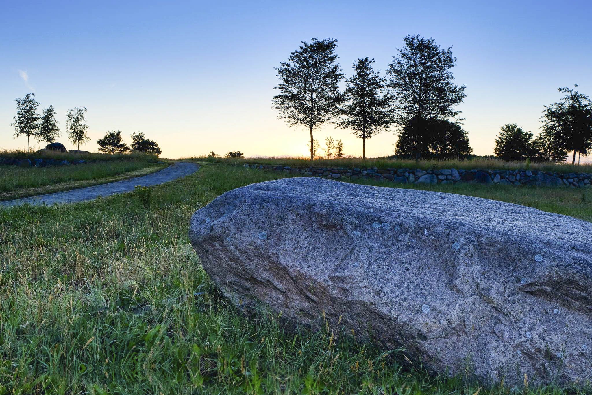
Burial mounds, silence and a lot of space – hiking Germany’s Geestweg
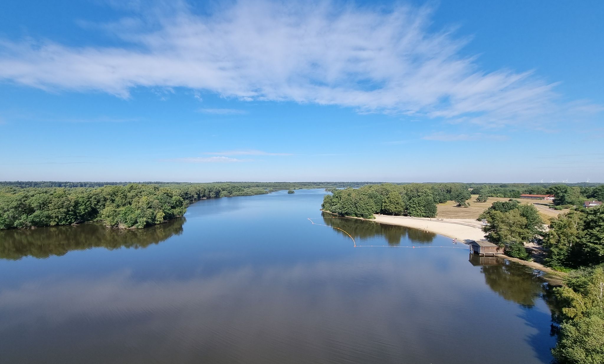
Rauf auf's Rad – Themenradtouren im Erholungsgebiet Thülsfelder Talsperre
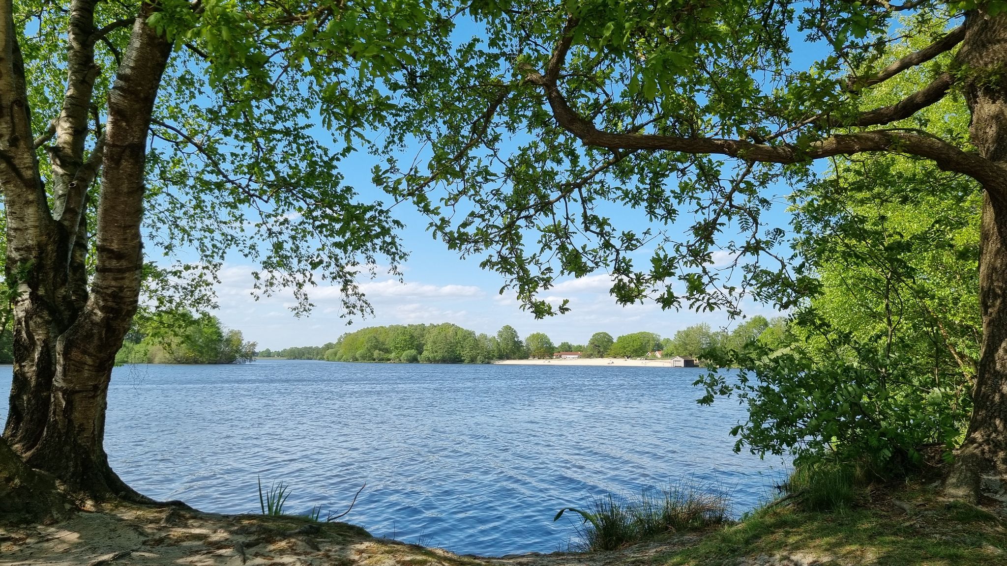
Radeln nach Zahlen - Knotenpunkttouren im Erholungsgebiet Thülsfelder Talsperre
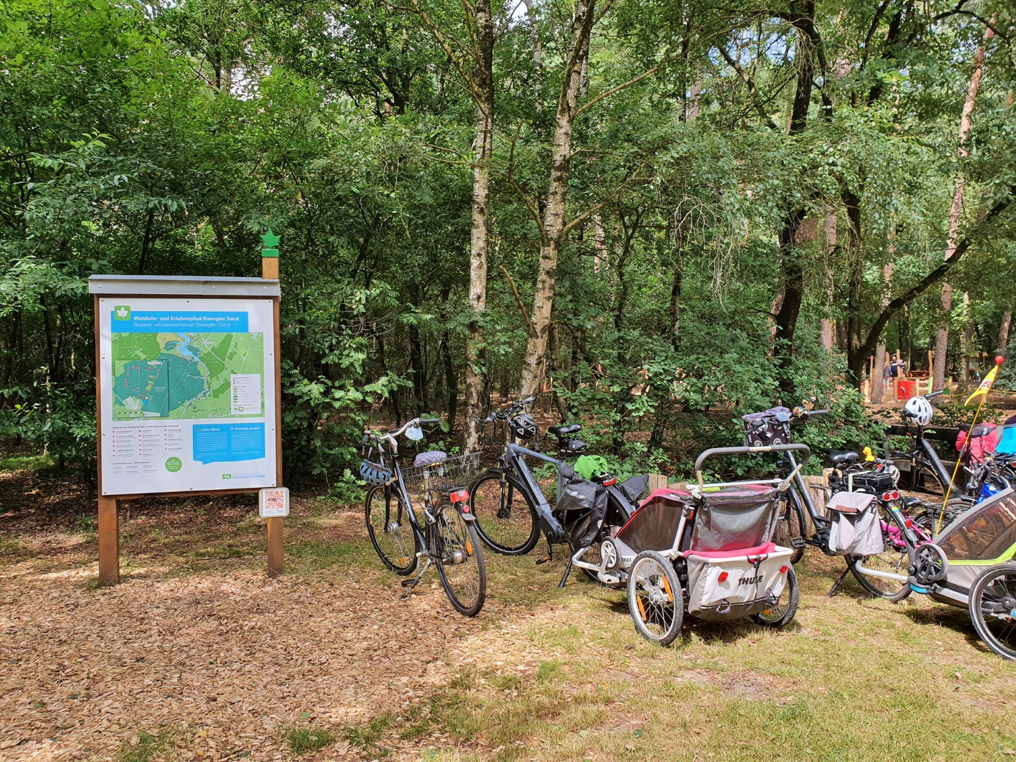
Rallyespaß – Familienradtouren im Erholungsgebiet Thülsfelder Talsperre
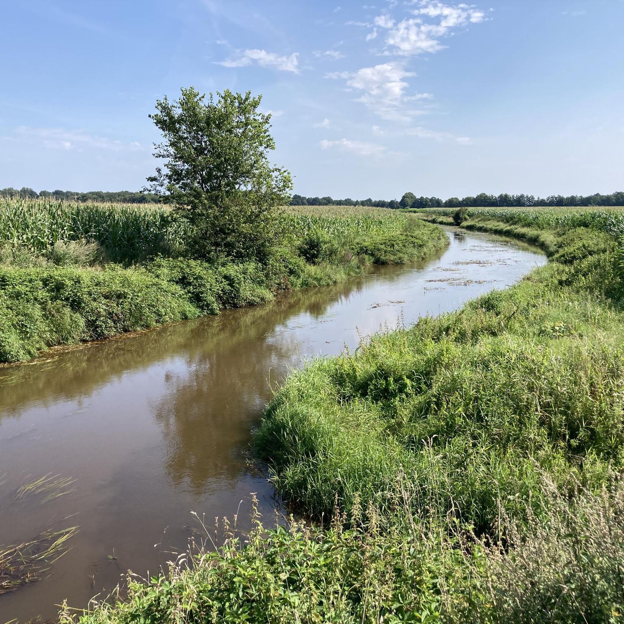
Cycling around Friesoythe
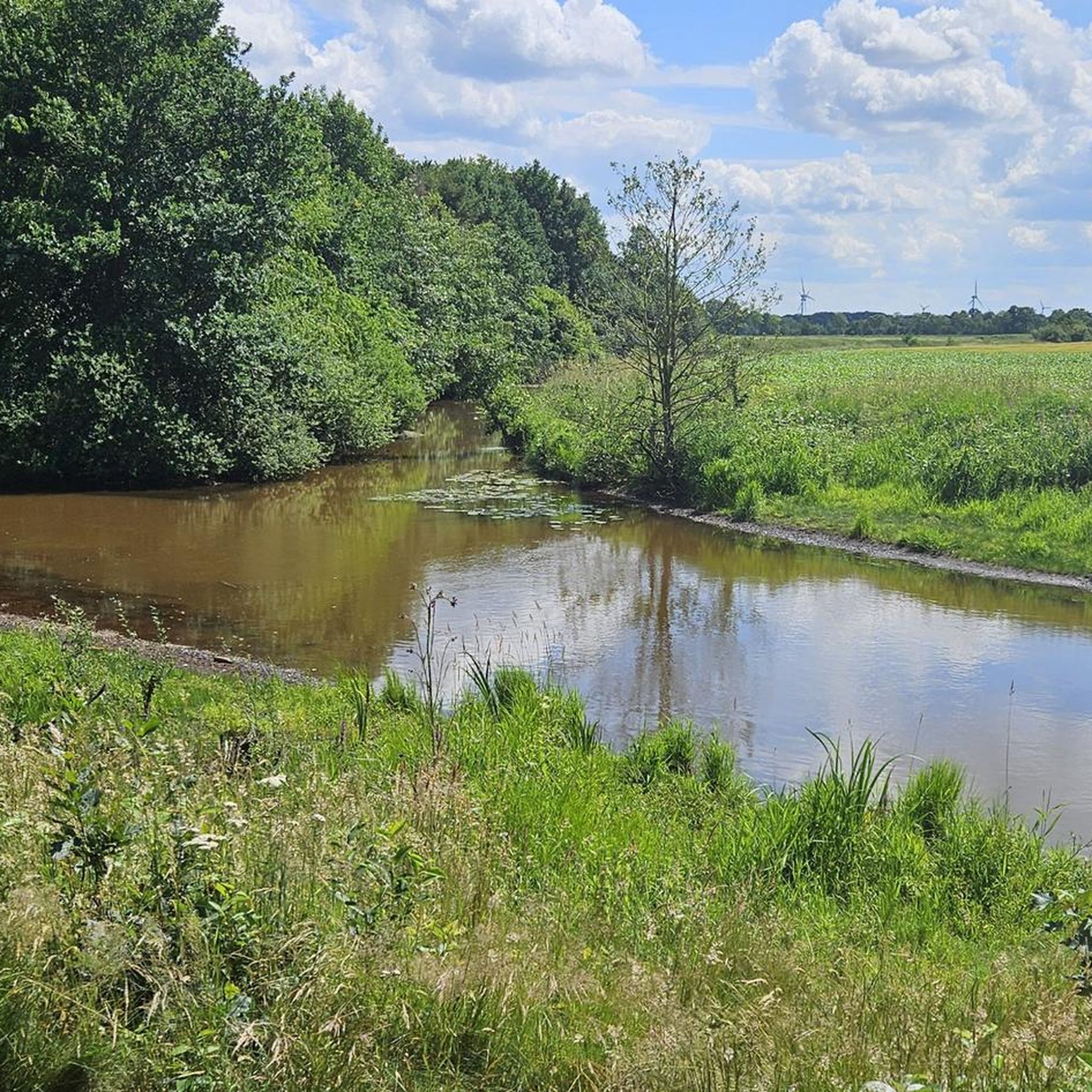
Running Trails around Friesoythe
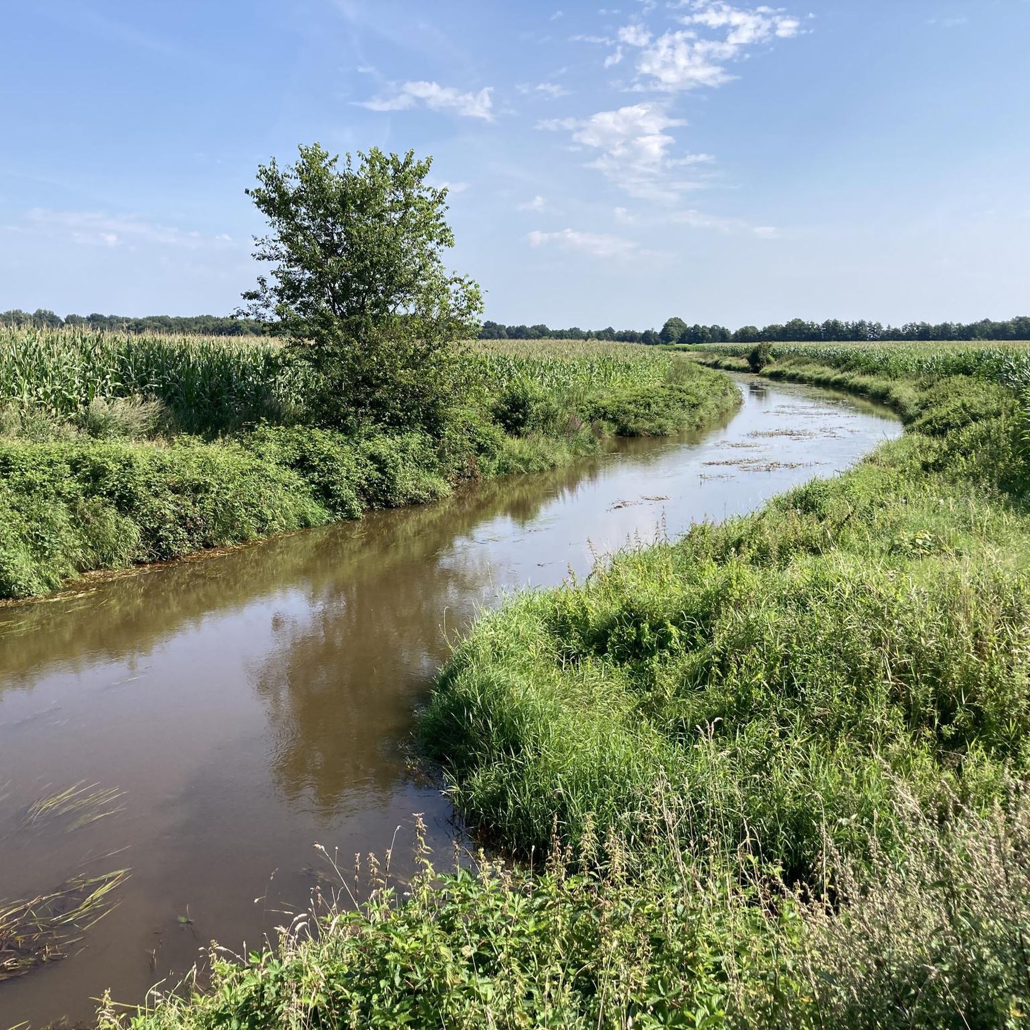
Road Cycling Routes around Friesoythe
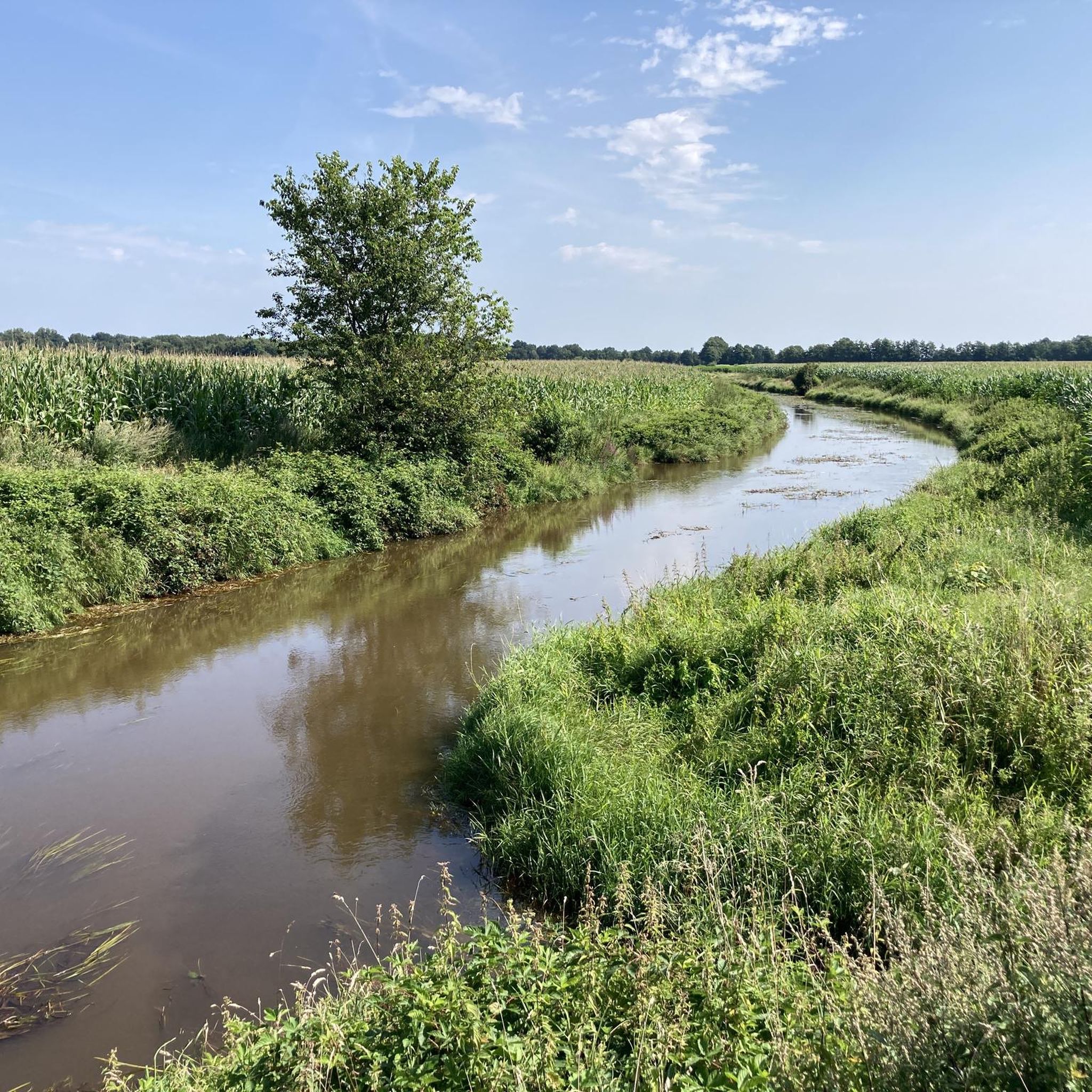
MTB Trails around Friesoythe

Gravel biking around Friesoythe
Other adventures around Friesoythe


Tips from the Community

In this protected area there is a lot to discover, during the day many walkers are out and about. Very quiet in the evening
0
0

A nice area to spend a holiday.
2
0
A beautiful area to spend a holiday.
2
0
Recreation area Thülsfeder Talsperre, offers varied paths through moor and heathland, over small dunes as well as past picturesque bays and bathing beaches. Good terrain for cycling or walking. Circuit approx. 10 km
0
0

Numerous species of animals and plants worthy of protection characterize the heathlands around the Thülsfelder Talsperre.
1
0
Nord bathing spot with approx. 2,100 m² of bathing area.
1
0
Use of the bathing areas is at your own risk. There is no water supervision. During the bathing season from May 15 to September 15, the DLRG provides voluntary and unpaid water rescue service on weekends and during the summer holidays when the weather is good, from 10:00 AM to 6:00 PM at the "Großer Strand" and "Kleiner Strand" bathing areas. During the water rescue service, a flag with the DLRG emblem is flown at the DLRG watch station. Source: https://www.thuelsfelder-talsperre.de/str%C3%A4nde-an-der-th%C3%BClsfelder-talsperre/96981
1
0

The carved stone shows a deep plough. Because a large part of the Eleonorenwald is not that old at all, but only originated in the very late 1880s - 1950s, partly to quickly gain growing wood for mining. The most original part of the forest covers about 50 hectares and is called "Langelt". Since the Arrenberger people wanted to use the forest economically, they bought up large areas of land and broke up the heathland with huge deep ploughs so that coniferous trees could be planted. You can find such a deep plough in front of the museum village in Cloppenburg. You should definitely take a look at it - and you don't have to go INTO the museum for that, it's standing outside.
0
0
Frequently Asked Questions
How many hiking trails are available around Friesoythe?
Friesoythe offers a wide selection of hiking opportunities, with over 180 trails to explore. The majority of these are suitable for casual walkers, with 125 easy routes and 59 moderate options, ensuring there's something for every fitness level.
What kind of landscapes can I expect to see while hiking in Friesoythe?
The region around Friesoythe is characterized by diverse natural landscapes. You'll encounter expansive forests, heathlands, and unique moorlands. A central feature is the Thülsfelder Talsperre, a reservoir surrounded by lush vegetation, sand dunes, and swamp areas, offering varied scenery for your hikes.
Are there any family-friendly hiking routes in Friesoythe?
Yes, Friesoythe is well-suited for family outings. Many of the 125 easy routes are perfect for families. For example, the Pier at Hotel Seeblick – Beach at the Thülsfelder Reservoir loop from Parkplatz Kletterwald Nord is an easy 7.1 km path that follows the banks of the Thülsfelder Reservoir, providing scenic water views and a pleasant walk for all ages.
Can I bring my dog on the hiking trails in Friesoythe?
Many trails in the Friesoythe region are dog-friendly, allowing you to enjoy the natural beauty with your canine companion. It's always recommended to keep dogs on a leash, especially in nature reserve areas like around the Thülsfelder Talsperre, to protect local wildlife. Look for trails that pass through forests and open landscapes, which are generally suitable for dogs.
Are there circular hiking routes available?
Yes, many of the trails around Friesoythe are designed as circular routes, making them convenient for day trips. A popular moderate option is the Lake View – Heathland Landscape loop from Ferienhaussiedlung "Am Stausee", which is 11.2 km long and offers beautiful views of the reservoir and heathland.
What are some notable landmarks or attractions to see along the hiking trails?
While hiking, you can discover several interesting points. Around the Thülsfelder Talsperre, you might encounter the Beach at the Thülsfelder Reservoir or the Thülsfelder Reservoir North Shore and Spillway. The Eleonorenwald also features the Eleonorenwald Rest Area, providing a peaceful spot to pause.
What is the best time of year to go hiking in Friesoythe?
The mild temperatures in spring and autumn make these seasons particularly ideal for outdoor activities in Friesoythe. Spring brings blooming nature, while autumn offers vibrant foliage, enhancing the scenic beauty of the forests and heathlands. Summer is also pleasant, though it can be warmer.
Are there options for parking near the trailheads?
Yes, many popular hiking areas, especially around the Thülsfelder Talsperre and within the Eleonorenwald, offer designated parking facilities. For instance, the easy Hiking loop from Wanderparkplatz Talsperre-Nord starts directly from a parking area, making access convenient.
What do other hikers say about the trails in Friesoythe?
The hiking trails in Friesoythe are highly regarded by the komoot community, boasting an average rating of 4.6 stars from over 1500 reviews. Hikers often praise the well-maintained paths, the diverse natural scenery, and the peaceful atmosphere, especially around the Thülsfelder Talsperre and within the Eleonorenwald.
Are there any longer, more challenging routes for experienced hikers?
While most routes are easy to moderate, there are longer options for those seeking more extensive hikes. The Eleonorenhöhe Carved Stone – Eleonorenwald and Marka Valley loop from Markatal is a moderate 16.4 km trail that takes about 4 hours to complete, leading through significant forest areas and valleys.
Can I find places to eat or drink near the hiking trails?
Yes, especially around popular areas like the Thülsfelder Talsperre, you can find cafes and restaurants. Friesoythe itself also offers various dining options. Some routes might pass by facilities, or you can plan your hike to end near the town or a specific establishment for refreshments.
What is the Eleonorenwald and what kind of hiking does it offer?
The Eleonorenwald is a significant forest area near Friesoythe, providing excellent opportunities for woodland hikes. It features dense tree cover and tranquil paths, ideal for nature immersion. The Eleonorenwald and Marka Valley – Schleefeld Pond loop from Markhausen is a moderate 11.6 km route that showcases this beautiful forest.
Most popular routes around Friesoythe
Most popular attractions around Friesoythe

Get inspired with the komoot mobile app


Explore more
Browse the best Hikes in other regions.
