The best walks and hikes around Friesenried
4.7
(121)
465
hikers
56
hikes
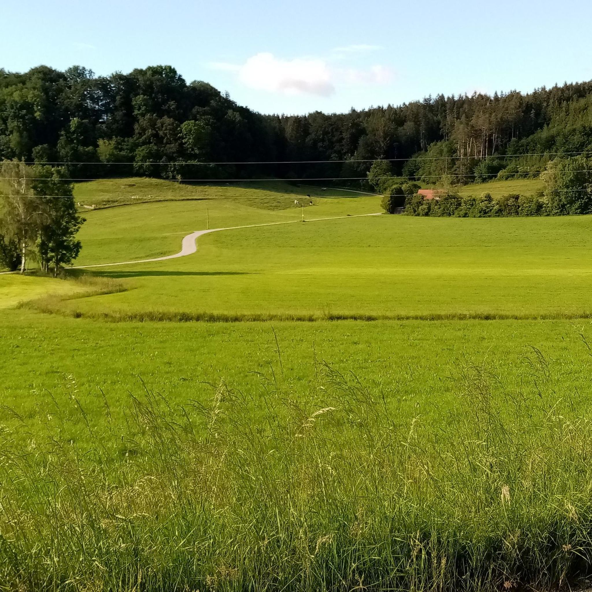
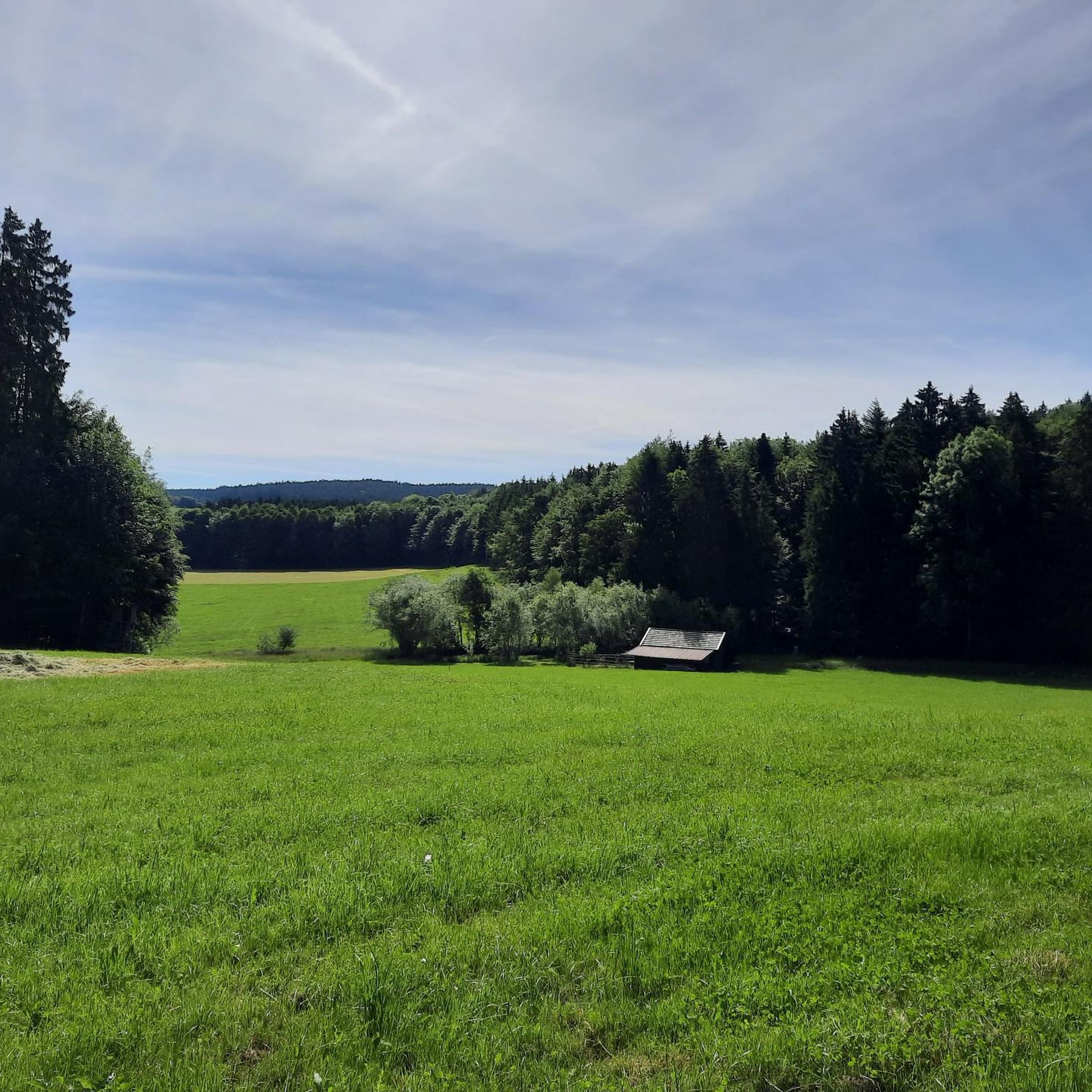
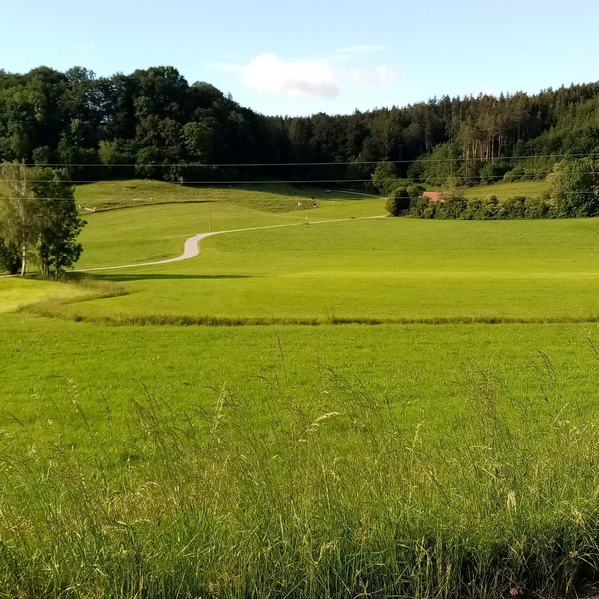
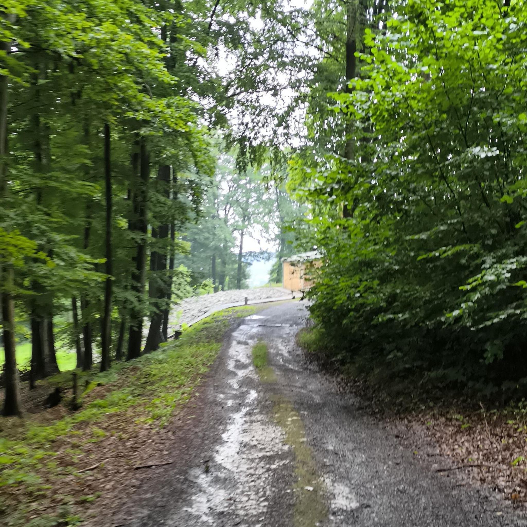
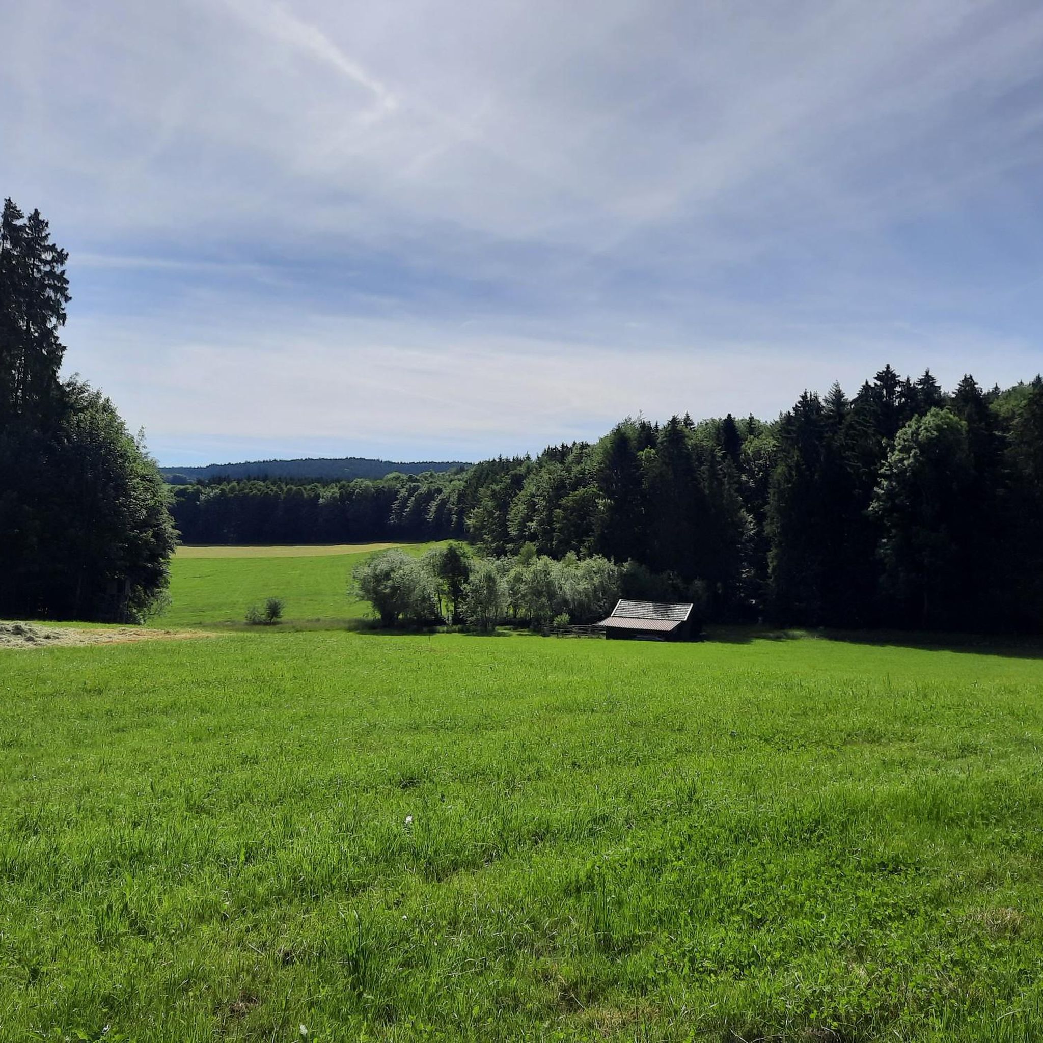
Hiking around Friesenried offers diverse landscapes in the Ostallgäu region at the foot of the Alps. The area features rolling hills, expansive green meadows, and dense forests, providing varied terrain for outdoor activities. Hikers can explore paths along the picturesque Wertach River and through the Mühlbach and Mindeltal valleys. This region provides a mix of trails suitable for various fitness levels, set against a backdrop of the Alpine foothills.
Best hiking trails around Friesenried
- The most popular hiking route is…
Last updated: July 9, 2026
4.8
(13)
74
hikers
3.70km
01:00
50m
50m
Easy hike. Great for any fitness level. Easily-accessible paths. Suitable for all skill levels.
4.4
(11)
21
hikers
13.4km
03:40
200m
200m
Moderate hike. Good fitness required. Easily-accessible paths. Suitable for all skill levels.

Sign up for free
4.7
(9)
23
hikers
10.8km
02:59
180m
180m
Moderate hike. Good fitness required. Easily-accessible paths. Suitable for all skill levels.
4.4
(5)
27
hikers
Easy hike. Great for any fitness level. Easily-accessible paths. Suitable for all skill levels.
4.7
(7)
23
hikers
12.0km
03:13
140m
140m
Moderate hike. Good fitness required. Easily-accessible paths. Suitable for all skill levels.
Get access to more routes and recommendations from other explorers.
Sign up for free
Already have an account?
Our route recommendations are based on thousands of hikes, rides, and runs completed by other people on komoot.
Start today with a free account
Your next adventure awaits.
Login or Signup
Tips from the Community

multigenerational house
0
0

A really nice idea on the bird trail is the insect hotel with the bee display case.
0
0

lots of information and lots to see, nice place for a break
0
0
Interesting station, in summer with a glimpse into a beehive
1
0
A beautiful swimming lake. Unfortunately, the adjacent restaurant no longer offers the quality it was once known for. But it's still a decent place to stop for a break while cycling.
0
0
500 years ago, on October 29, 1508, this prominently located church, between Friesenried and Salenwang, was consecrated by the Augsburg Auxiliary Bishop Heinrich in honor of St. Bartholomew and the Martyr Cyriacus. One of the bells dates back to 1488, suggesting that the church was built 20 years earlier. An older bell, dating back to the 14th century, presumably originates from a much smaller predecessor church or chapel, is located in the tower. The choir and nave of St. Bartholomew's are late Gothic. The originally Gothic windows were altered in the early Baroque period around 1690. The church tower is late Gothic, and the current furnishings are late Baroque. The choir altarpiece depicts St. Bartholomew and the Martyr Cyriacus and dates from 1654. The ground floor of the church tower houses the sacristy with a reticulated vault. In the church, including the porch added in the 19th century, there are war memorial plaques from the Napoleonic Wars and the Franco-Prussian War of 1870/71. Source: Geocaching.com -> Friesenried Chapel Trail
0
0

bee display case and lizard castle
1
0
Frequently Asked Questions
How many hiking trails are available in Friesenried?
Friesenried offers a diverse selection of over 50 hiking trails. This includes 26 easy routes perfect for a leisurely stroll, 27 moderate trails for those seeking a bit more challenge, and 2 more demanding paths for experienced hikers.
Are there easy hiking trails suitable for beginners or casual walkers?
Yes, Friesenried has 26 easy hiking trails. A great option is the Vogelnest Pavilion – Green Classroom Allgäu loop from Aschthal, which is 3.7 km long and takes about an hour, making it ideal for all fitness levels. Another accessible choice is the View of the Allgäu Mountains – Lichterweg Friesenried loop from Friesenried, a 5.6 km route offering scenic views.
What are the best times of year to go hiking in Friesenried?
The best seasons for hiking in Friesenried are spring and autumn. During these times, temperatures are mild and pleasant, typically ranging between 15°C and 20°C. Spring brings blooming meadows, while autumn transforms the landscape with vibrant fall foliage, offering beautiful scenery for your walks.
Are there any family-friendly hiking trails in Friesenried?
Absolutely! Friesenried offers several family-friendly options. The 'Fuchsweg' Nature Trail is a playful way for children to learn about local flora and fauna. Additionally, the Forest Bird Nature Trail, an easy 5 km loop near Friesenried, features 20 stations with information on 30 native bird species, and is suitable for strollers and even wheelchair users.
Are there circular hiking routes available in Friesenried?
Many of the trails in Friesenried are designed as loops, offering convenient circular routes. Examples include the Vogelnest Pavilion – Green Classroom Allgäu loop, the Oggenrieder Pond – Wildlife Enclosure in Allgäu loop, and the Marien-Seelen Chapel loop. These allow you to start and end your hike in the same location.
What kind of natural landscapes can I expect to see while hiking in Friesenried?
Friesenried's landscape is incredibly diverse. You'll encounter rolling hills, expansive green meadows, and dense forests. The region is set against the stunning backdrop of the Alpine foothills, with the picturesque Wertach River flowing through, and trails winding through the Mühlbach and Mindeltal valleys. You can also find beautiful lakes like Hopfensee and Grüntensee nearby.
What do other hikers enjoy most about hiking in Friesenried?
The komoot community highly rates the hiking experience in Friesenried, with an average score of 4.7 stars from over 100 reviews. Hikers often praise the varied terrain, from serene river paths to forest trails, and the stunning views of the Alpine foothills. The well-maintained paths and diverse options for all skill levels are frequently highlighted.
Are there any notable attractions or landmarks to see near the hiking trails?
Yes, there are several interesting places to explore. You can visit the Boardwalks through the reed belt at Elbsee or enjoy the tranquility of Lake Elb. For a cultural stop, the Irsee Monastery Brewery offers a unique experience, and the historic Kaufbeuren Old Town is also within reach.
Are there any trails that offer views of the Allgäu Mountains?
Yes, several trails provide excellent views of the surrounding Allgäu Mountains. The View of the Allgäu Mountains – Lichterweg Friesenried loop from Friesenried is specifically named for its scenic vistas. The region's location in the Alpine foothills means many routes will offer glimpses of the majestic peaks, especially on clear days.
Can I find trails that pass by water features like rivers or lakes?
Certainly. The picturesque Wertach River flows through the region, offering pleasant routes for walks along its banks. Additionally, trails around nearby lakes like Hopfensee and Grüntensee provide impressive panoramic views of the glistening water and the surrounding natural beauty. The Oggenrieder Pond – Wildlife Enclosure in Allgäu loop also features a lovely pond.
Are there any longer, more challenging hikes for experienced hikers?
While Friesenried is known for its accessible trails, there are a couple of more demanding routes for those seeking a challenge. The region's proximity to the Alps means that some trails, particularly those venturing into the higher foothills, can require good fitness and sure-footedness. For a moderate challenge, consider the Gfällmühle loop from Röhrwang, which covers 12 km with notable elevation changes.
Most popular routes around Friesenried
Most popular attractions around Friesenried

Get inspired with the komoot mobile app


Explore more
Browse the best Hikes in other regions.
