The best walks and hikes around Frenkendorf
4.6
(57)
445
hikers
56
hikes
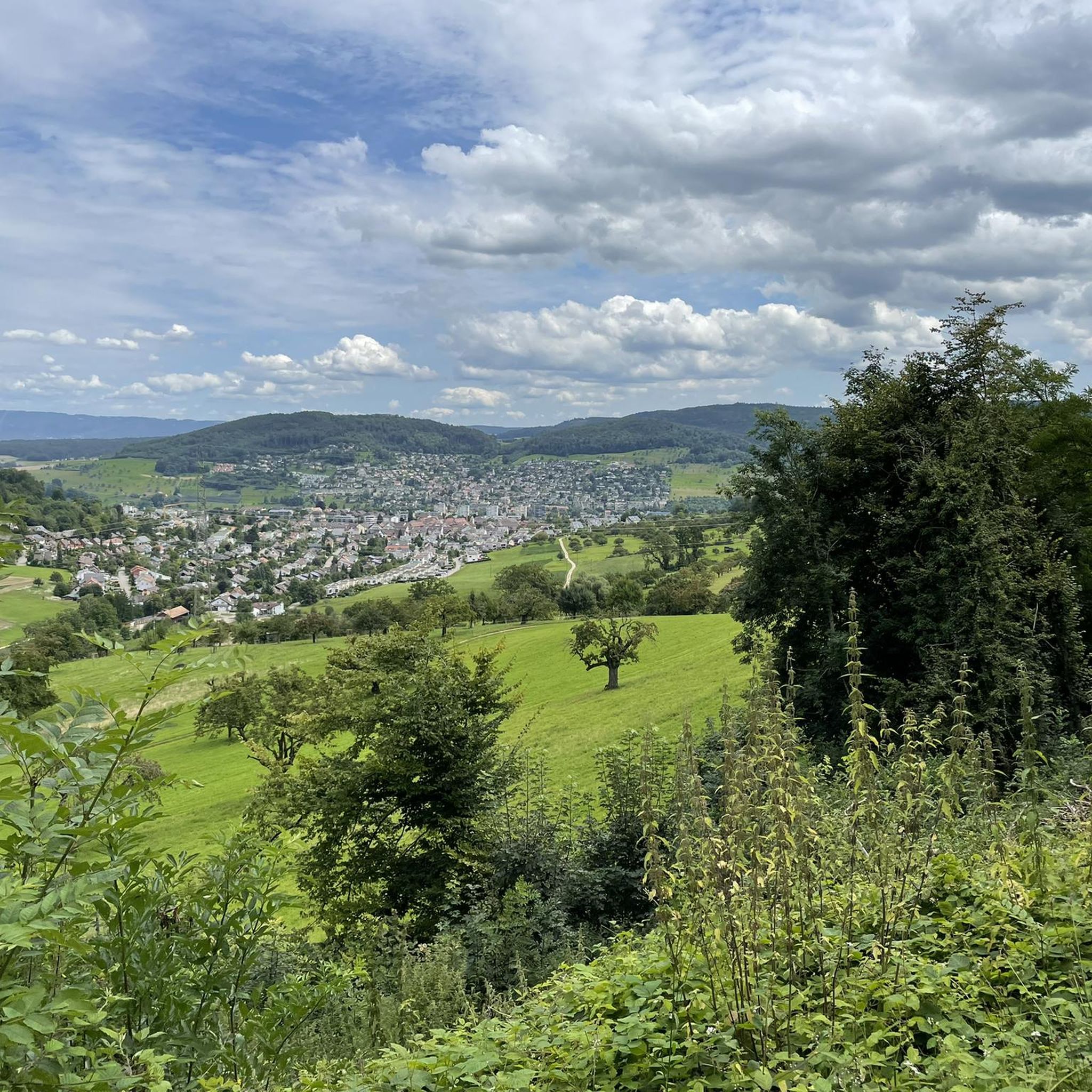
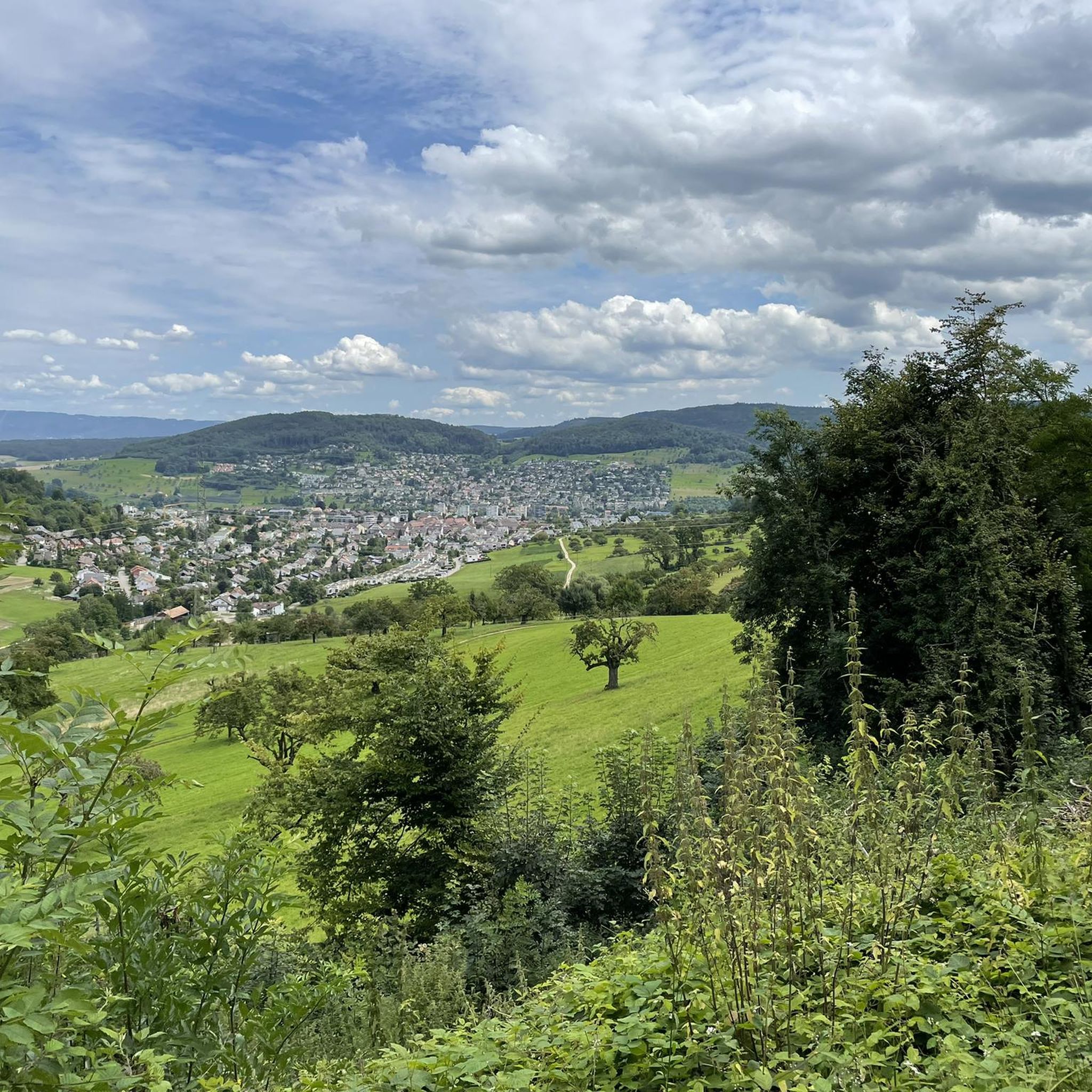
Hiking around Frenkendorf offers diverse landscapes within the Basel-Landschaft Tafeljura, characterized by lush forests and rolling hills. The region features the Ergolz Valley and provides views towards the Jura Mountains. Historical ruins and natural reserves like Chriesiberg add to the varied terrain.
Best hiking trails around Frenkendorf
- The most popular hiking route is Schauenburgflue Rock Face – Ruins of Alte Schauenburg loop from Frenkendorf, an 8.0 miles (12.9 km) trail that takes 3 hours 55 minutes to complete, passing…
Last updated: July 1, 2026
5.0
(5)
26
hikers
12.6km
03:52
430m
430m
Moderate hike. Good fitness required. Easily-accessible paths. Suitable for all skill levels.
4.3
(3)
24
hikers
10.6km
03:16
380m
380m
Moderate hike. Good fitness required. Easily-accessible paths. Suitable for all skill levels.

Sign up for free
4.3
(4)
21
hikers
Easy hike. Great for any fitness level. Easily-accessible paths. Suitable for all skill levels.
4.0
(2)
22
hikers
Moderate hike. Good fitness required. Easily-accessible paths. Suitable for all skill levels.
5.0
(4)
19
hikers
Moderate hike. Good fitness required. Mostly accessible paths. Sure-footedness required.
Get access to more routes and recommendations from other explorers.
Sign up for free
Already have an account?
Our route recommendations are based on thousands of hikes, rides, and runs completed by other people on komoot.
Start today with a free account
Your next adventure awaits.
Login or Signup

Other adventures around Frenkendorf

Tips from the Community

Don't worry, there are more fire pits on the ridge ;)
0
0
There was even some wood and a frying pan there.
0
0

Monument to the struggle of the rural population against exploitation by the city rulers.
1
0

There are great views here and an absolutely beautiful climb to drive up.
0
0

Allows a view over the trees towards Basel/Black Forest
6
1
Information and opening times: http://www.gempenturm.com/
11
0
You actually only need the tower for the view towards the Black Forest.
7
0
Beautifully laid out path. Mostly away from the road.
10
0
Frequently Asked Questions
How many hiking trails are available around Frenkendorf?
There are over 50 hiking trails around Frenkendorf, offering a wide variety of options for different preferences and fitness levels. The komoot community has explored 57 routes in total.
What kind of terrain can I expect on hikes in Frenkendorf?
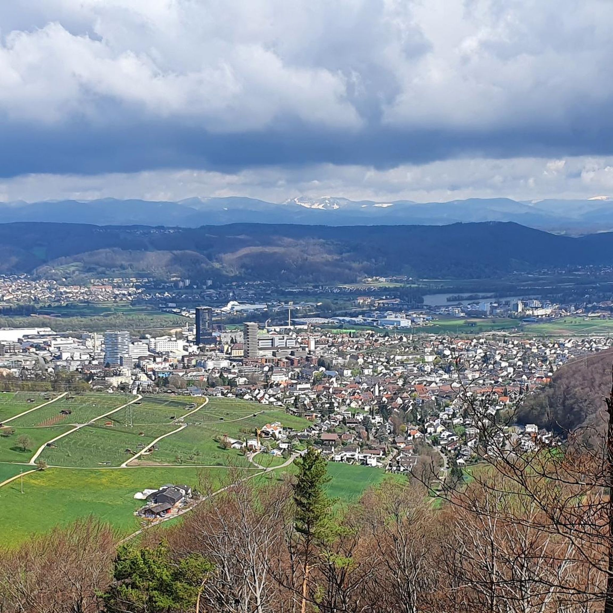
Frenkendorf is characterized by lush green forests and rolling hills, forming part of the Basel-Landschaft Tafeljura. You'll find varied terrain, from gentle paths along the Ergolz Valley to more challenging routes in the hills, often providing panoramic views, including glimpses of the Swiss Alps.
Are there circular walks available in Frenkendorf?
Yes, many hikes in Frenkendorf are circular, allowing you to start and end at the same point. An example is the easy 5.5 km loop, Zwärgämoos Forest Kindergarten – Hülftenschanz Monument loop from Frenkendorf-Füllinsdorf, which takes you past a significant historical monument.
What historical sites can I explore while hiking in the area?
The region is rich in history. You can incorporate visits to the medieval Ruins of Neu-Schauenburg and Alt-Schauenburg into your hikes. Another notable site is the Hülftenschanz Monument, commemorating a significant local battle, which can be seen on the Zwärgämoos Forest Kindergarten – Hülftenschanz Monument loop.
Are there any viewpoints or natural features to see on the trails?
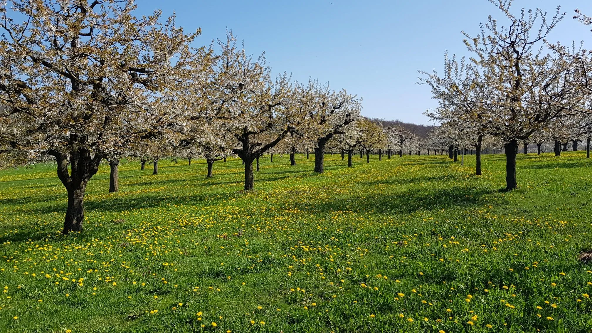
Absolutely. The Schauenburgflue offers impressive rock faces and views, which you can experience on the Ruins of Alte Schauenburg – View of Schauenburgflue loop from Frenkendorf. The Chriesiberg Nature Reserve is also a beautiful spot, especially in spring when cherry blossoms are in bloom. For expansive views, consider routes that pass the Gempenturm observation tower.
What are the difficulty levels of hikes in Frenkendorf?
Frenkendorf offers a range of difficulty levels. You'll find 38 easy routes, 18 moderate routes, and 1 difficult route. This variety ensures there's something for everyone, from leisurely strolls to more challenging treks.
What do other hikers enjoy most about hiking in Frenkendorf?
The area is highly rated by the komoot community, with an average score of 4.6 stars from over 50 reviews. Hikers often praise the diverse landscapes, the blend of natural beauty with historical sites, and the well-maintained trails that cater to various fitness levels.
Are there family-friendly hikes in Frenkendorf?
Yes, many of the 38 easy routes are suitable for families. The gentle uphill and downhill sections, combined with beautiful views and picnic spots, make for enjoyable outings. The Zwärgämoos Forest Kindergarten – Hülftenschanz Monument loop is an example of an easy, family-friendly option.
Is parking available near the trailheads in Frenkendorf?
Yes, parking is generally available near many of the trailheads in and around Frenkendorf. It's advisable to check specific route details on komoot for parking information relevant to your chosen starting point.
What is the best time of year to hike in Frenkendorf?
Frenkendorf offers enjoyable hiking throughout much of the year. Spring is particularly beautiful when the cherry blossoms are in bloom, especially in the Chriesiberg Nature Reserve. The forested areas also provide pleasant shade during warmer months.
Are there any gorges or caves to visit nearby?
Yes, the region around Frenkendorf features interesting natural formations. You can explore the Kaltbrunnental Gorge or the Chaltbrunnental Nature Reserve. For those interested in caves, the Schalberg Cave is also a nearby point of interest.
Can I reach hiking trails in Frenkendorf using public transport?
Frenkendorf is well-connected within the Basel-Landschaft canton, making it accessible by public transport. Many trailheads are within reasonable distance of bus or train stops, allowing you to start your hike without a car. Check local public transport schedules for the most convenient options.
Most popular routes around Frenkendorf
Most popular attractions around Frenkendorf

Get inspired with the komoot mobile app


Explore more
Browse the best Hikes in other regions.
