The 17 Most Amazing Peaks around Unterweitersdorf
Best mountain peaks around Unterweitersdorf are found within a hilly landscape in Upper Austria, characterized by an average elevation of 425 meters and a maximum elevation of 578 meters. The region offers numerous opportunities for exploring elevated areas and scenic hiking. Situated in the Mühlviertel region between Linz and Freistadt, Unterweitersdorf provides a rural setting for outdoor activities. The focus is on picturesque hiking and cycling trails within its Gusental valley.
Best mountain peaks around Unterweitersdorf
- The most popular mountain…
Last updated: July 1, 2026
Pfenningberg Summit Cross
Highlight • Summit
Translated by Google •
Tip by

Großer Zeißberg Summit
Highlight • Summit
Translated by Google •
Tip by

Sign up now to discover places like this
Get recommendations on the best single tracks, peaks, & plenty of other exciting outdoor places.
Sign up for free
Hoh-Haus at Buchberg Observation Tower
Highlight • Viewpoint
Translated by Google •
Tip by

Three Beeches Cross
Highlight • Trail
Translated by Google •
Tip by

Ura Stoa Summit
Highlight • Summit
Translated by Google •
Tip by

Sign up for free to discover even more peaks around Unterweitersdorf.
Sign up for free
Already have an account?
Start today with a free account
Your next adventure awaits.
Login or Signup
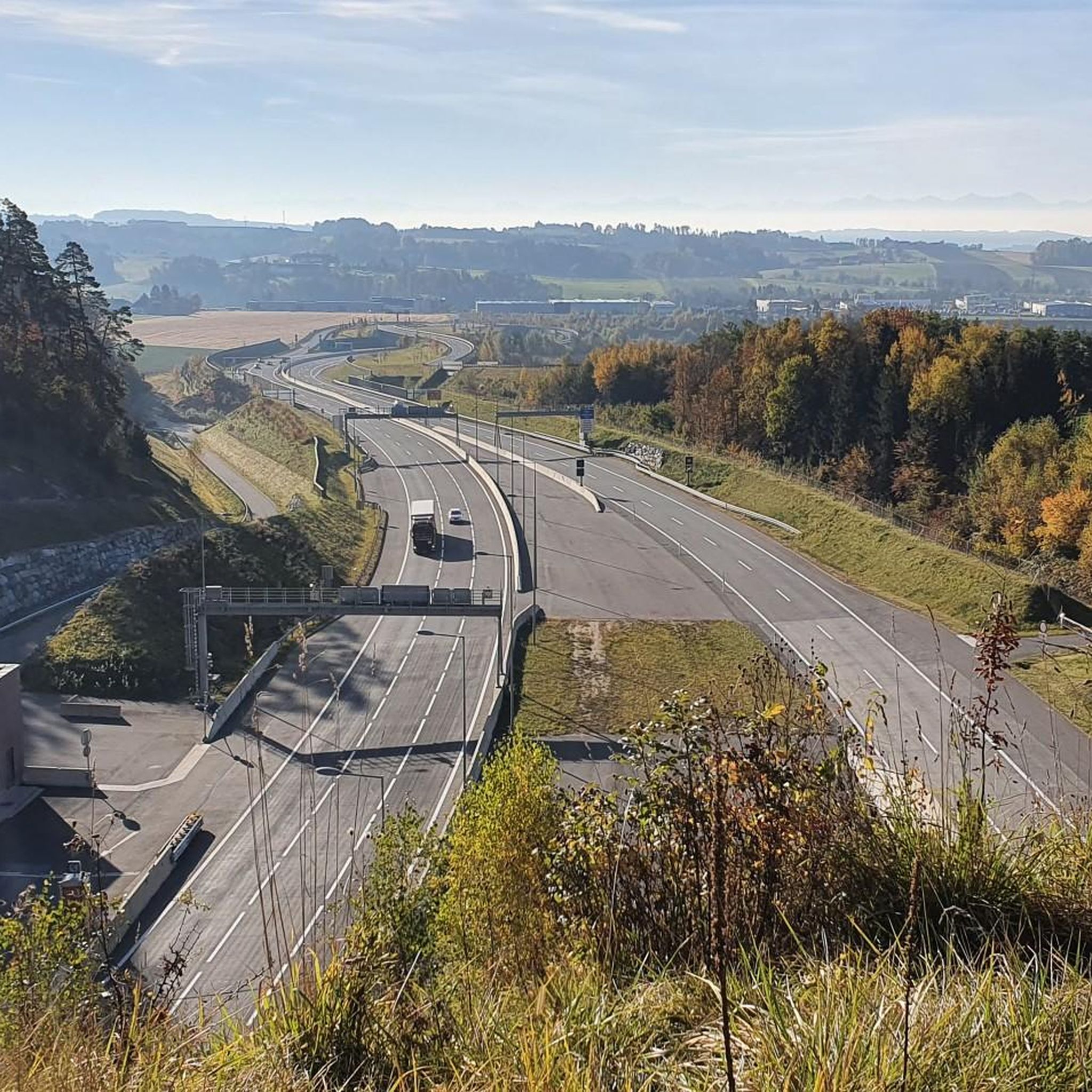
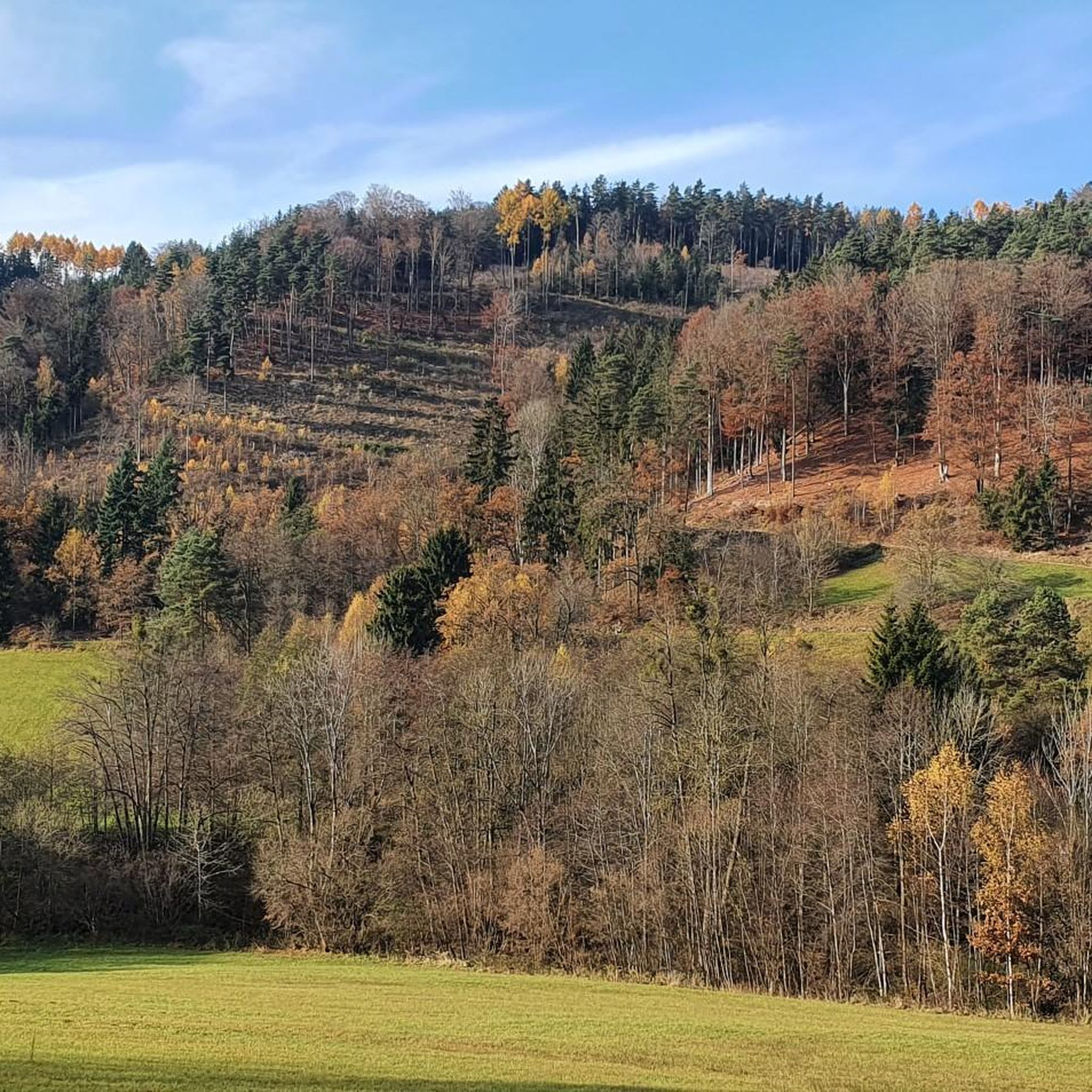
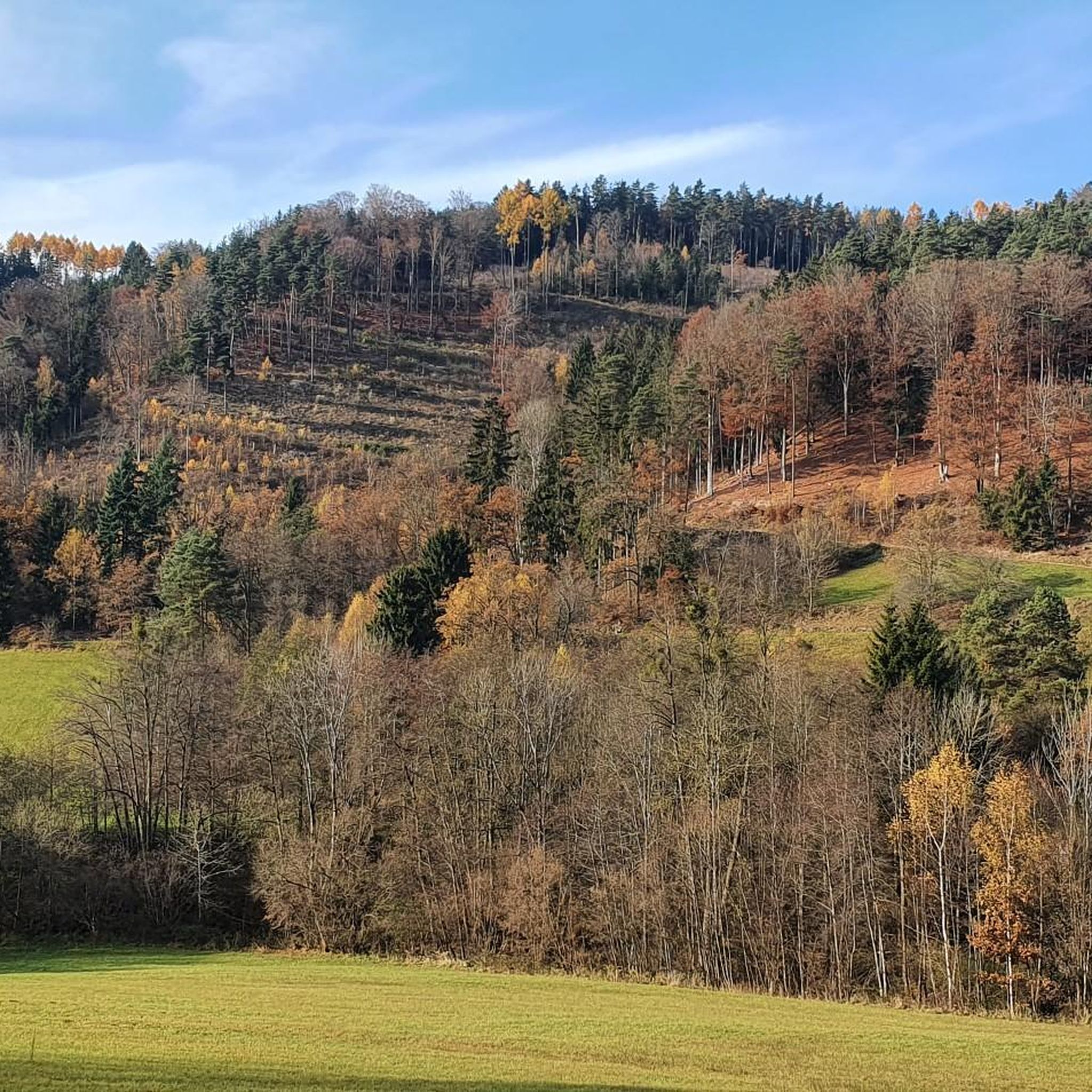
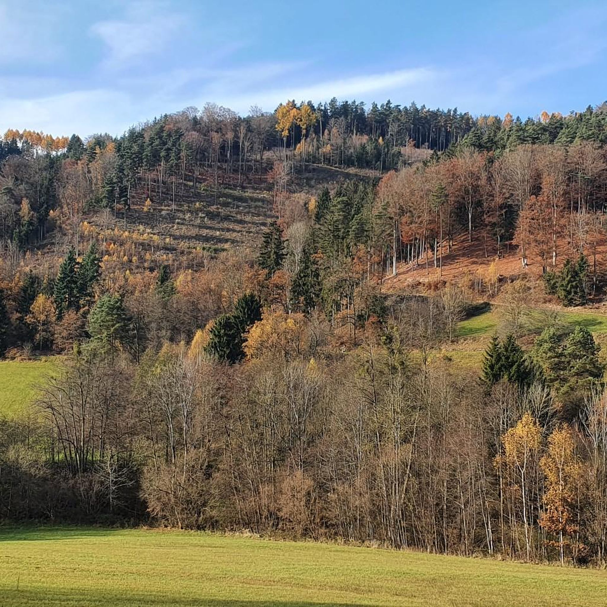

Tips from the Community

A Linz city summit for every season and every type of weather.
2
0

From the west, the access is technically tricky (trail between the trees and stones), from the east side it is much easier to ride. Bike tracks can be found right up to the top - so there are some very motivated / brave people there 😎
0
0

Unfortunately, there is no summit cross on the highest elevation with granite rocks on the Zeissberg, but the view and the tranquility of this place of power are all the more beautiful.
1
0
Meanwhile, the easier Dachstrail towards Daxleitner starts here - only the last part is tricky due to loose stones in the ditch.
2
1
A nice destination in the Mühlviertel.
0
0

“Zeissberg-Rundweg” no longer exists in this form in Neumarkt im Mühlkreis.
0
0

Beautiful viewpoint with very interesting information. The perfect place for a well-deserved snack.
2
0

Frequently Asked Questions
What are some of the most popular elevated spots or viewpoints around Unterweitersdorf?
Visitors to Unterweitersdorf particularly enjoy the Hoh-Haus at Buchberg Observation Tower, which offers an architectural masterpiece on a historic castle rock. Another favorite is the Pfenningberg Summit Cross, known for its views over Linz on clear days. The Three Beeches Cross, also on the Pfenningberg, is a popular resting spot.
Are there family-friendly elevated areas or viewpoints suitable for children around Unterweitersdorf?
Yes, the Hoh-Haus at Buchberg Observation Tower is highlighted as a family and child-friendly hike on good paths. The Three Beeches Cross also offers a family-friendly experience with a nice resting place.
What kind of natural features can I expect to see when exploring the elevated areas around Unterweitersdorf?
The region around Unterweitersdorf is characterized by a hilly landscape and the scenic Gusental valley. While not traditional towering peaks, you'll find numerous elevated areas, viewpoints, and forests. The Ura Stoa Summit features a small, typical granite stone summit and a wall of 'Wollsacksteinen,' a special geological formation. You can also explore the unique Flehlucka Cave (Erdstall) as part of a moderate hike.
Are there any historical or cultural sites to discover among the elevated areas near Unterweitersdorf?
Yes, the Hoh-Haus at Buchberg Observation Tower is enthroned on a historic castle rock, blending history with modern architecture. The Ura Stoa Summit is believed to be an ancient Celtic cult site, with engraved runes pointing to its historical significance. Additionally, the historic Horse Railroad, with its ancient tracks, viaducts, and passageways, offers a unique historical experience in the area.
What outdoor activities can I do near the elevated areas and viewpoints around Unterweitersdorf?
The region is excellent for hiking and cycling. You can find a variety of hiking routes, from easy paths to more demanding treks. For specific hiking options, consider the easy hikes around Unterweitersdorf or more general hiking routes. There are also dedicated mountain hikes that take you to elevated spots like the Pfenningberg and Buchberg.
What are the difficulty levels of hiking trails around Unterweitersdorf's elevated areas?
The area offers a range of trails. You can find easy paths suitable for all skill levels, typically up to 2 hours and 300 meters (1,000 feet) of elevation gain. There are also moderate treks requiring good fitness, up to 5 hours and 900 meters (3,000 feet) of elevation gain, and even very challenging routes for experienced hikers exceeding these durations and elevations.
What do visitors enjoy most about the elevated areas and viewpoints in Unterweitersdorf?
Visitors frequently praise the beautiful views, especially from spots like the Pfenningberg Summit Cross, which offers clear vistas over Linz. The tranquility and natural beauty of places like the Großer Zeißberg Summit are also highly appreciated. Many enjoy the varied hikes and the unique combination of natural and historical elements, such as the architectural design of the Hoh-Haus at Buchberg Observation Tower.
Is there a highest point or prominent hill near Unterweitersdorf?
While Unterweitersdorf itself has an average elevation of 425 meters and a maximum of 578 meters, the broader region offers higher points. The Großer Zeißberg Summit, for example, rises to 802 meters between Ottenschlag and Freistadt, offering expansive views. The Ura Stoa Summit is noted as the highest point of the Alberndorf municipality.
Are there any circular walks or loops that include these elevated spots?
Yes, many of the trails around Unterweitersdorf are designed as loops. For instance, you can find routes like the 'Pfenningberg Summit Cross – Three Beeches Cross loop' or the 'Buchberg – Elzer Stub'n loop' which allow you to experience multiple elevated points and viewpoints in a single outing. Check the Mountain Hikes around Unterweitersdorf guide for detailed loop options.
What is the best time to visit the elevated areas around Unterweitersdorf?
The region is enjoyable throughout much of the year. Spring and autumn offer pleasant temperatures for hiking and exploring the scenic Gusental valley. Even in winter, spots like the Three Beeches Cross are noted as nice resting places. Always check local weather conditions before heading out, especially for longer treks.
Are there options for dog-friendly hiking near the elevated areas?
The natural landscape of Unterweitersdorf and the Mühlviertel region generally welcomes dogs on trails. While specific regulations for each elevated spot might vary, many hiking paths are suitable for walks with dogs. It's always recommended to keep dogs on a leash and be mindful of local wildlife and other hikers.
Can I find places to eat or stay near the elevated areas in Unterweitersdorf?
Unterweitersdorf and the surrounding Mühlviertel region offer various options for refreshments and accommodation. While specific cafes or pubs might not be directly on every elevated spot, you'll find establishments in the villages and towns nearby. For example, the Hoh-Haus at Buchberg Observation Tower even has a drinks machine for convenience.
Most popular routes around Unterweitersdorf
Most popular attractions around Unterweitersdorf

Get inspired with the komoot mobile app


Explore more
See even more amazing summits around Unterweitersdorf with these guides:
